Strouds Run State Park is located in scenic Athens County close to Ohio University. The park and several adjacent parks and preserves feature miles of trails for hikers, mountain bikers, and equestrians.
We visited the park several times last year. The park consists of 2,606 acres of forested hills and Dow Lake (a large man-made lake). Adjacent to the park is the 22 acre Sells Park owned by the city of Athens, the 106 acre Riddle State Nature Preserve and the 75 acre Blair Preserve. The parks are interconnected with a network of trails and are very popular with local mountain bikers.

Getting oriented
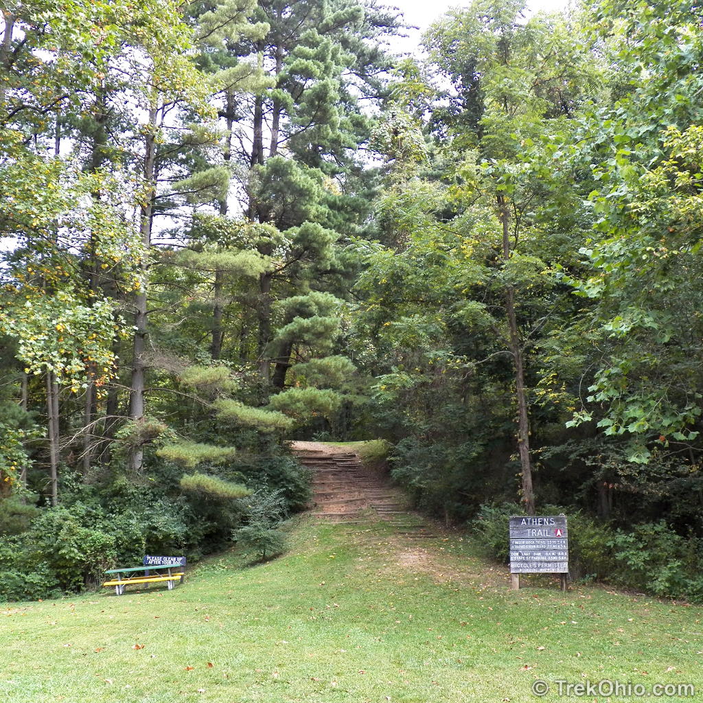
We hiked the Athens Trail which begins in the adjacent Sells Park. Sells Park is located at the end of a cul-de-sac known as Avon Place that’s only several blocks from Ohio University. The park entrance has informational signs at the trailhead, a small parking area and a bike rack.
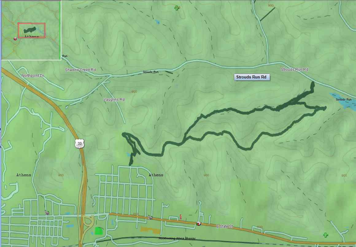
Below is a GPS trace of our hike. We began at the left, lower point and on the loop portion of our hike, we traveled in the counter-clockwise direction. The farthest point to the upper, right (reaching up to Strouds Rund Road) is an alternative spot where you could park and do the hike.
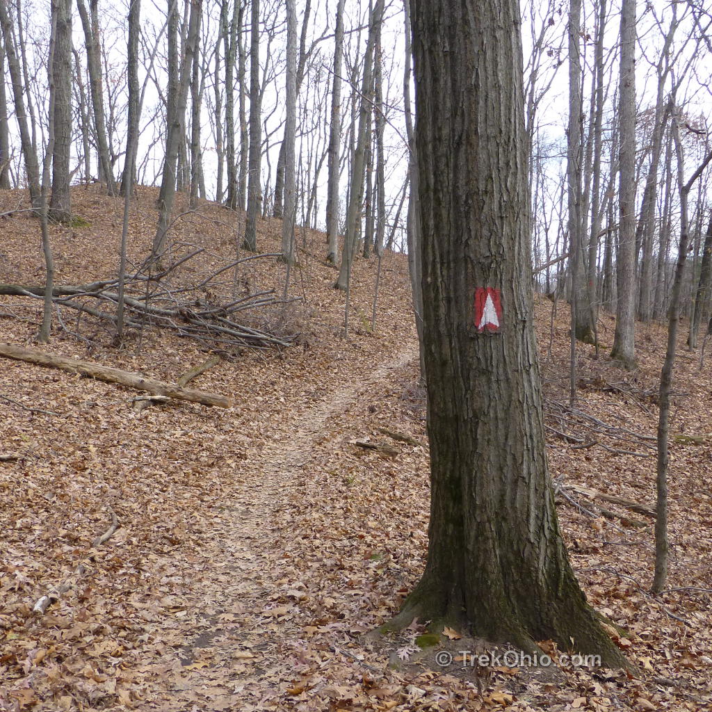
Since we started at Sells Park, we began our hike on the Athens Trail, then we followed Finger Rock Trail until we reached Dow Lake in Strouds Run State Park. The trails are well-marked; the Athens Trail marker is a white A-shape on a red rectangle. However, there are quite a few diverging side trails, so we recommend bringing a copy of the maps which we’ve linked to in the “Additional Information” section of this post.
Outbound from Sells Park to Strouds Run Drive
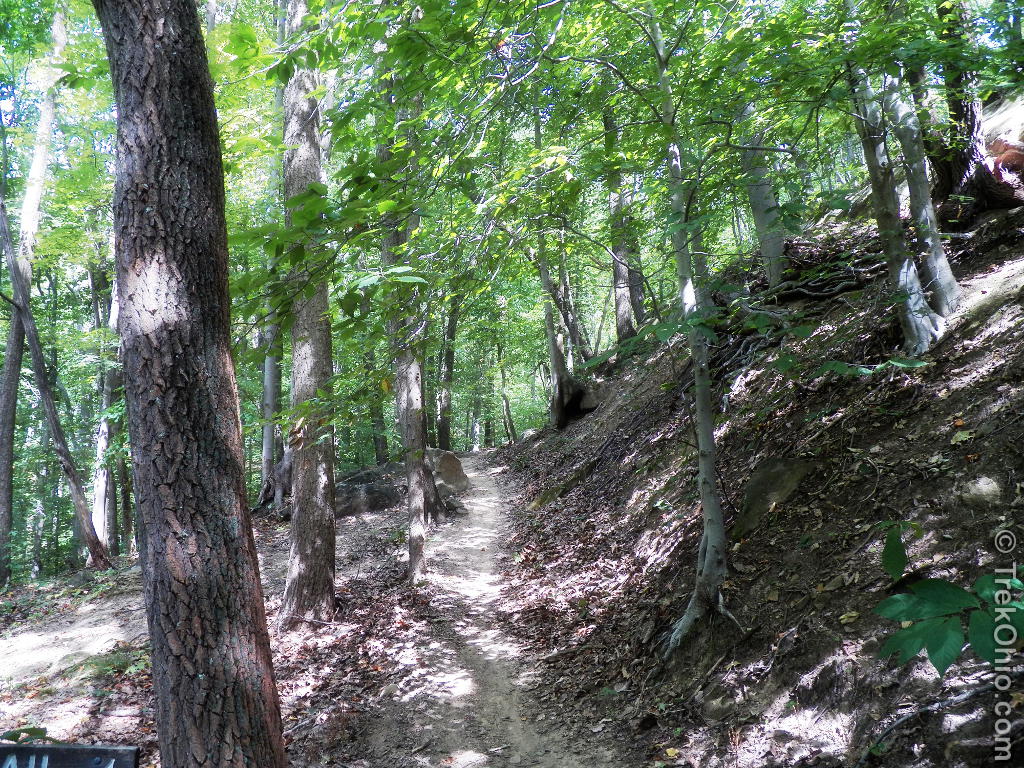
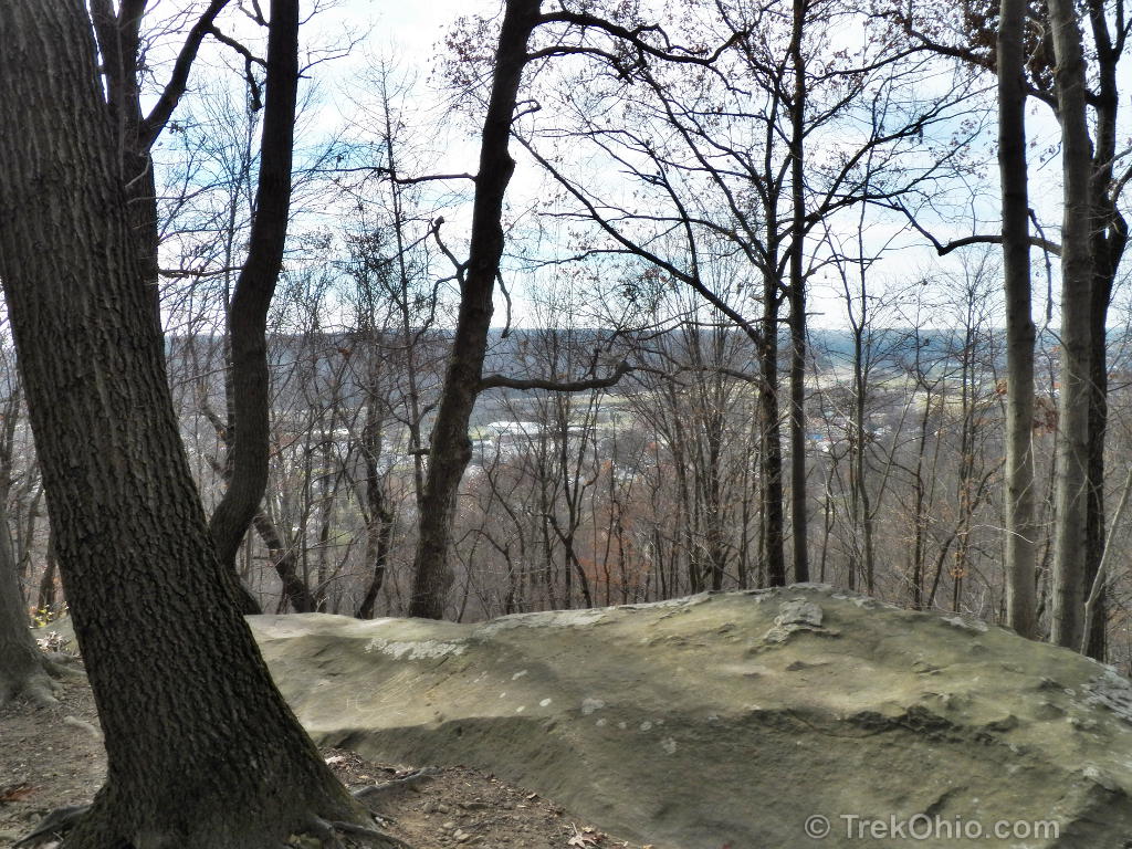
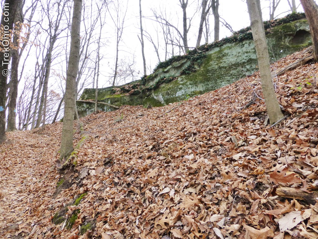
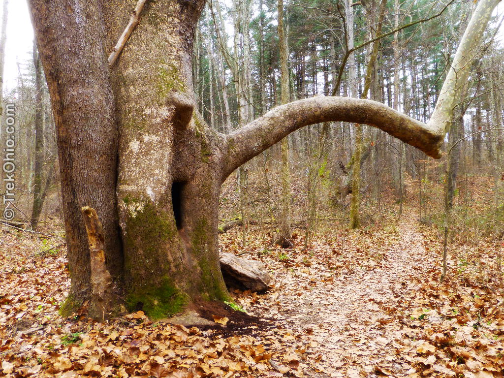
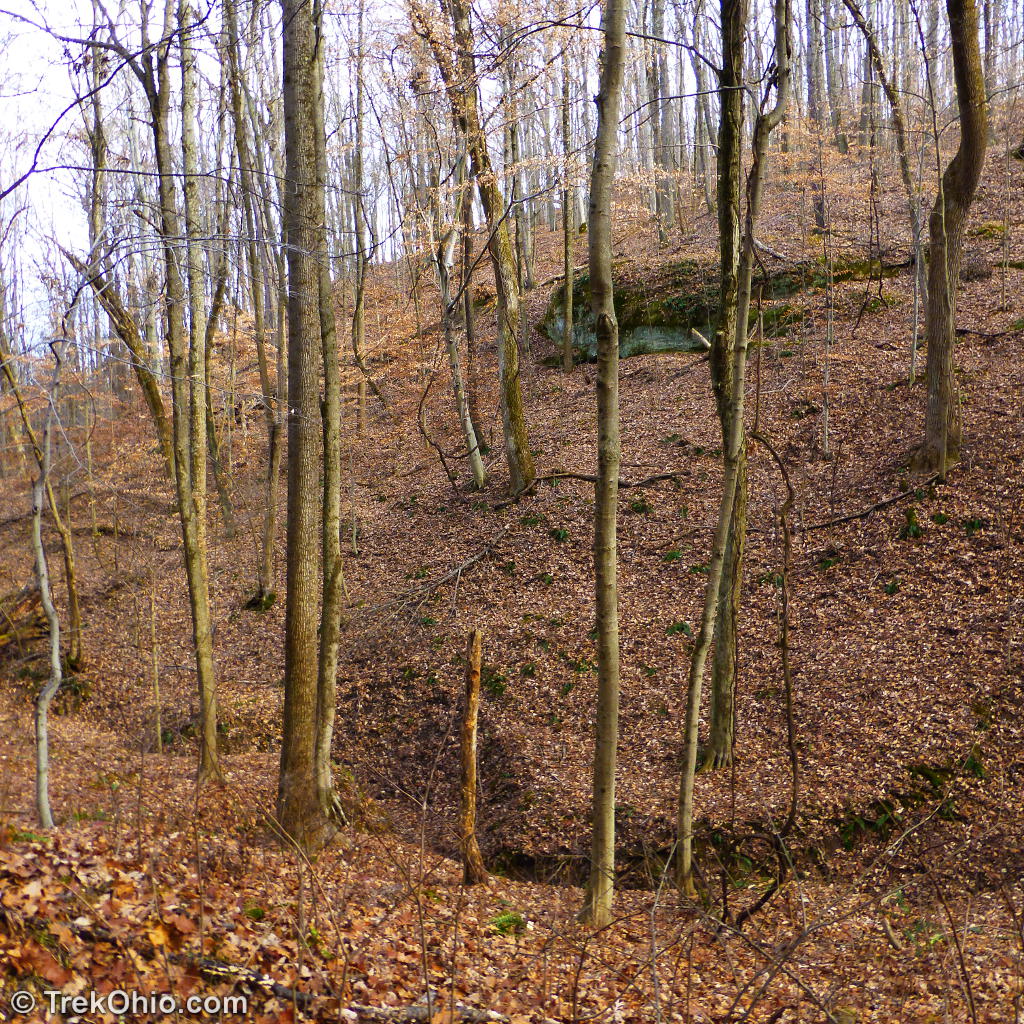
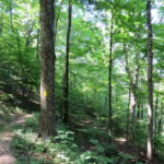
Sells Park is relatively small, but the trails are steep taking you up to the ridge-line. We passed Sells Pond near the trailhead and then began the ascent through the heavily forested hillside and past exposed rock outcroppings. At the end of the ascent, you leave Sells Park and enter Riddle State Nature Preserve. The Riddle Preserve consists of a section of old growth forest featuring oak, hickory, tulip, and poplar trees. The trail continues along the ridge-line and eventually crosses into Strouds Run State Park.


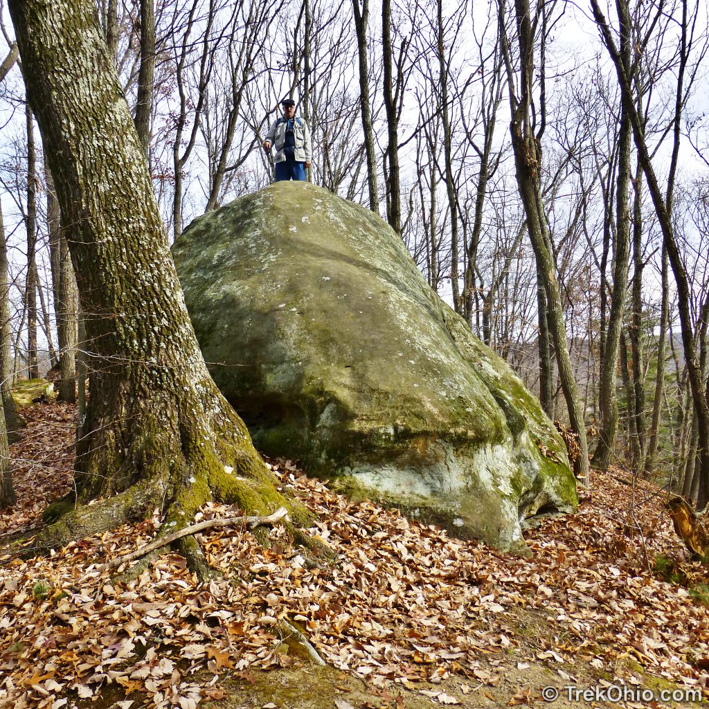
As you might have expected, Finger Rock Trail leads to Finger Rock, an exposed rock outcropping that resembles a large finger pointing towards another outcropping. We arrived at Finger Rock around noon, and I looked at outcropping where the “finger” was pointing and interpreted this to mean “you should eat lunch over there”.
We climbed up the outcrop and found a rock “bench” on which to enjoy our midday meal. We were perched on the edge of a plateau with three sides sloping steeply downward.

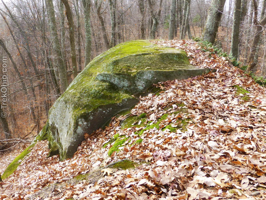
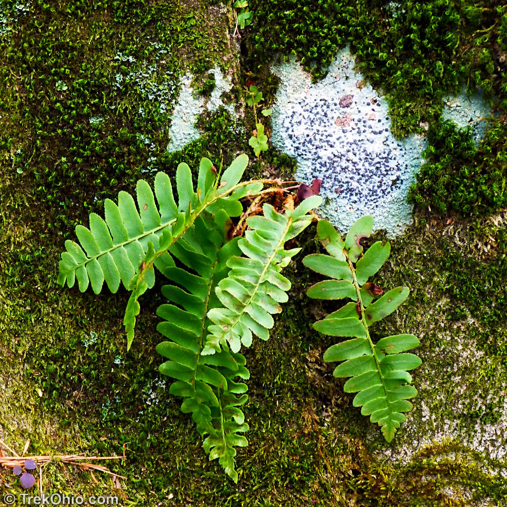
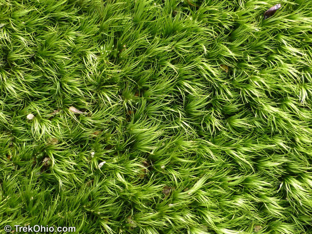
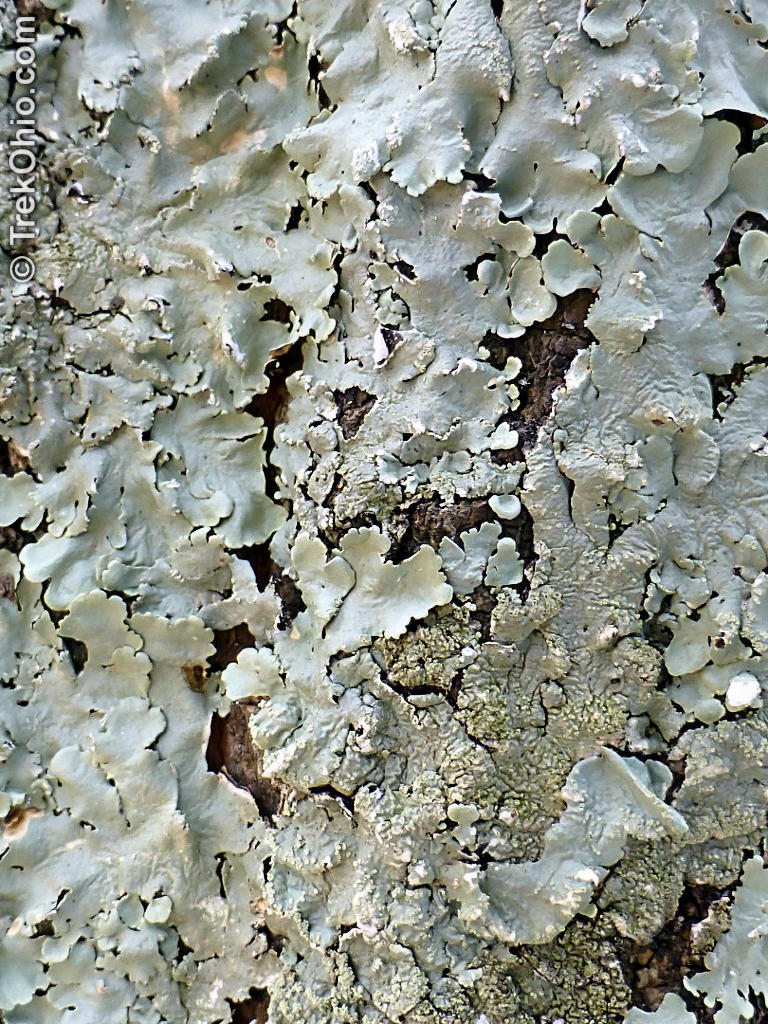
If you stopped to look at the surface of the outcroppings, it was interesting seeing all the ferns, moss and lichens growing on their surfaces, slowly breaking them down.
After lunch we lingered briefly to take more photos and then pressed on. From Finger Rock the trail descends in a series of switchback turns down to Dow Lake. The trail ends at a small parking lot / picnic area next to Strouds Run Road. Although there are no restrooms here, there are restrooms in two nearby parking lots. To reach them follow Strouds Run Road to the left (away from the lake) or to the right (towards the lake). You can also reach the lakeside parking lot by following a mown path to the right (when facing towards Strouds Run Road). These vault restrooms are off the parking lots that you’ll soon be encountering.
Inbound from Strouds Run Drive back to Sells Park
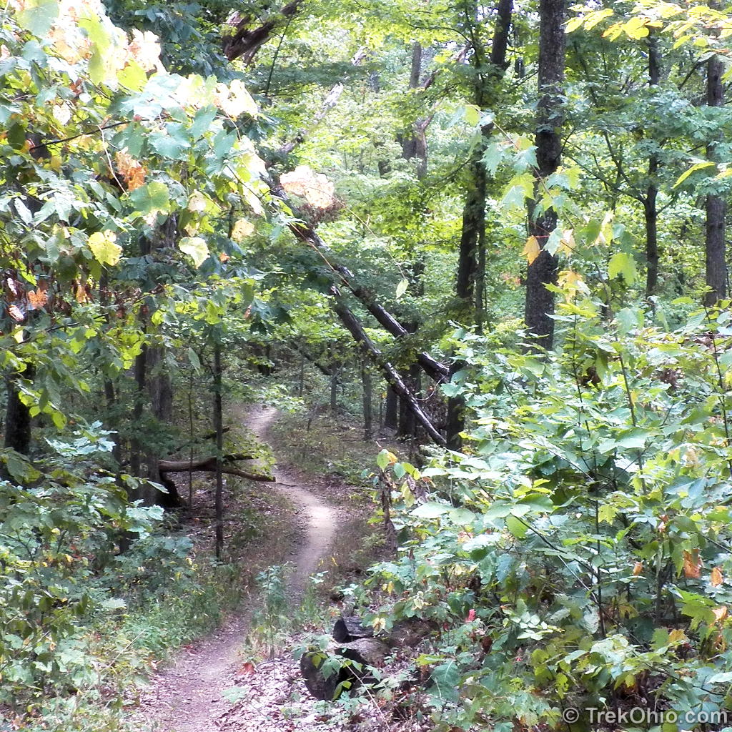
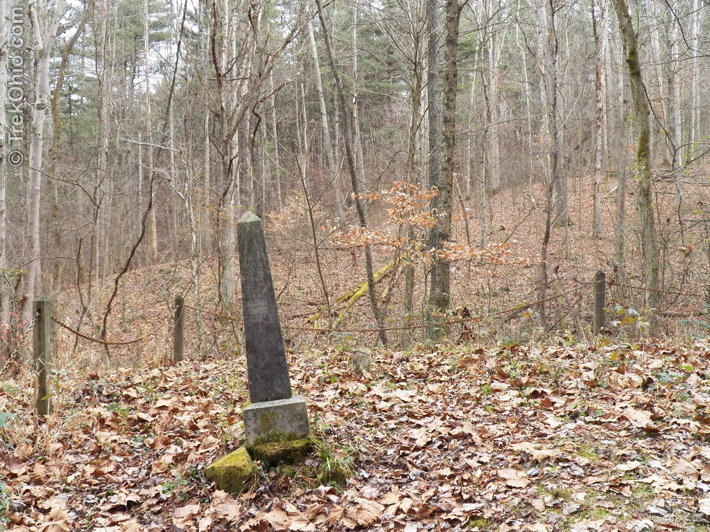
We returned via a different route. The Finger Rock Trail intersects Trace Trail which eventually connects with the Athens Trail. Trace Trail goes by a small pioneer cemetery. It then passes through the Blair Preserve, which is owned by the Athens Conservancy. On private property just beyond the Blair Preserve is an impressive looking escarpment. Although hikers cannot directly approach the escarpment, it makes for a scenic view. The well-blazed Trace Trail features sturdy bridges across small streams, and it’s open to both hikers and mountain bikers.

The trail follows a hollow along a small stream and finally ascends steeply to the ridge-line where it connects to the Athens Trail. We continued on the Athens Trail eventually passing through Riddle Preserve back into Sells Park. There we descended back down to the parking area.

We hiked about 5 miles, but only saw a small part of the trail network at Strouds Run. There is a trail around Dow Lake and many hiking, biking, and equestrian trails on the east side of the lake.
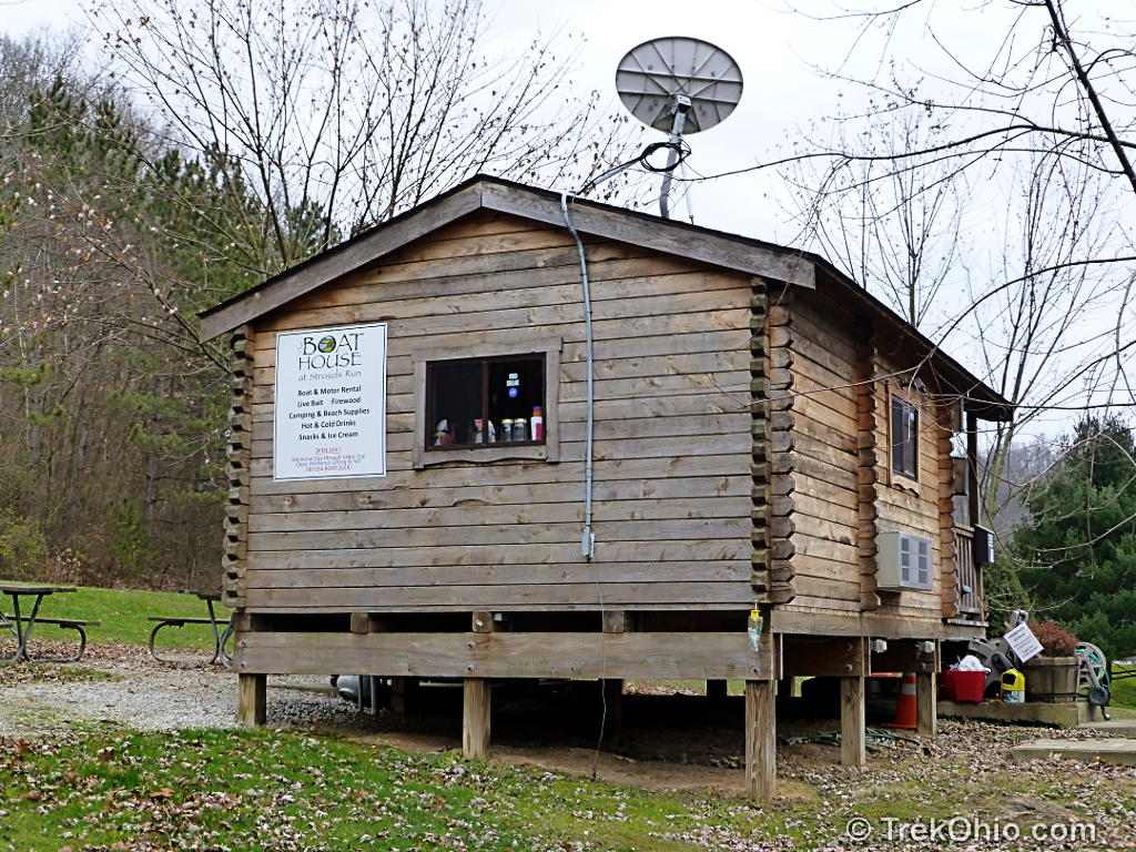
Stopping by the Beach and Camp Store
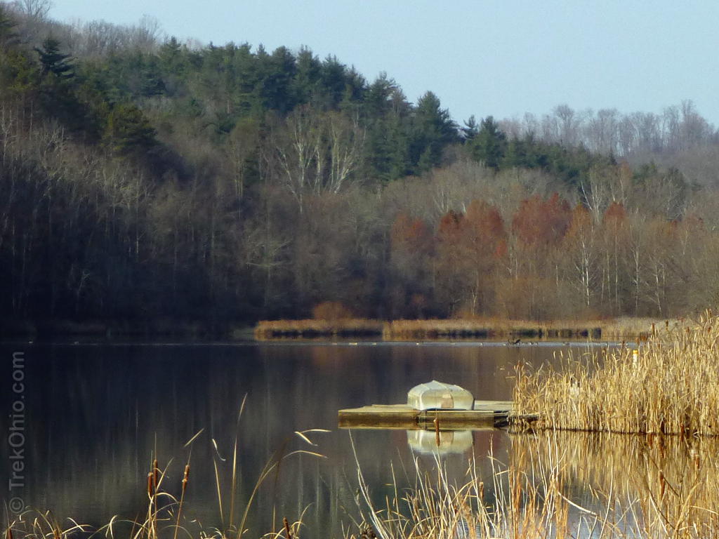
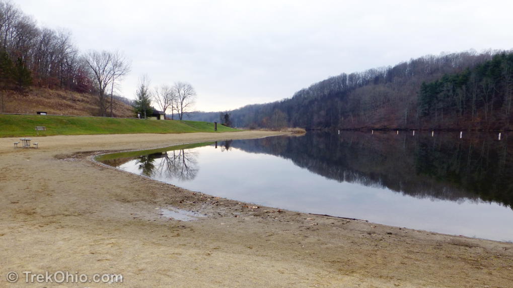
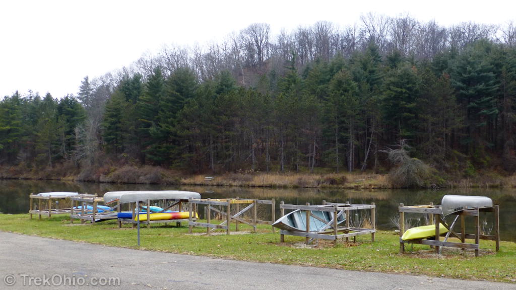
Following our hike, we drove to the area where the beach and camp store are located in Strouds Run State Park to have a look around. The Strouds Run State Park features its own campsites, fishing, a large swimming beach, and a boat rental area where you can rent canoes and other watercraft. The park is also open to deer hunting in season.
The Athens Conservancy has been an active advocate for mountain biking at Strouds Run. It has purchased adjacent land (such as Blair Preserve) and developed many of the hiking / biking trails in the area. During our visits we saw several mountain bikers enjoying the miles of trails available in this park system.
Additional Information
- City of Athens: Athens Trail Network Map
- ODNR: Strouds Run State Park Map
- Stroud’s Run Area Mountain Bike Trails Map
- Trek Ohio: Athens County Parks & Nature Preserves
Location
- Sells Park:
- GPS Coordinates: 39.3433630, -82.0745440
- View or get directions using Google Maps
- Directions: Exit US-33 in Athens at East State Street. Turn left on to Avon Place and go to the end of the road. Park in the parking area at entrance to Sells Park. The trail-head is well-marked with signs.
- Strouds Run State Park
- GPS Coordinates: 39.3513230, -82.0435320
- View or get directions using Google Maps
- Directions from Sells Park: From Sells Park, head south on Avon Place toward Pleasantview Drive. Turn right onto East State St. Turn right onto N. May. Continue onto Cable Lane. Continue onto Strouds Run Road. Turn right onto Strouds Run Drive. Turn right onto Strouds Run Road.
More on Athens County
 Burr Oak State Park: Hiking the Upper Loop
 A Visit to the Ohio Pawpaw Festival
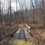 Marie J Desonier State Nature Preserve
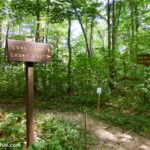 Wayne National Forest (Athens Unit): Wildcat Hollow
During the 1950s and 1960s, I hiked most of the hills and valleys around Sells Park and Strouds Run when most of it still was undeveloped for recreation. I now am a member of a writer’s group and have written several essays about those enjoyable treks through nature.
Incidentally, I have my parents’ 1905 topography / road map of the area, which shows that, at some point, the road names were mixed up. The original name of the main road from Athens to where the lake is now was Tucker Hollow Road (now relegated to a small offshoot), and Stroud Run (no S on the end) ran north from today’s lake and past the camping area.
My finding your site and seeing the photos of the area is a delight. Thank you.
Thanks, glad you enjoyed it. A few months ago we hiked “The Ridges” and went up to “Radar Hill” overlooking Athens. An enjoyable walk – I plan to write it up in the near future.
What a lovely place to visit! I really love the lake photos too. 🙂
Wonderful photos. I love especially lake photos and the narrow ridgeline photo. Ridgeline inspires me very much when seeing to both side of it.
a wonderful respite. i believe that if we do not take the time and energy to preserve these spaces we lose a bit of our soul.
…. Thank you for taking me along (via blog) – that was a great hike! There is certainly much to be desired down here in Flori-duh (it’s gonna be about 80 degrees today), but I sure do miss the hills and trees of Ohio.
Your welcome, jimbey. I remember chatting with you at feygirl’s blog, “Serenity Spell.” Considing how winter is just hammering the northeast, I guess we are getting off easy here in Ohio. Still 80 degrees sounds pretty nice. 🙂