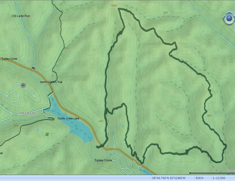
This past weekend we decided to hike the 7.2-mile Day Hike Trail in Shawnee State Forest. The Shawnee State Forest is sometimes referred to as the “The Little Smokies of Ohio” because of its hilly terrain. Although much of the trail followed ridgelines along the top of hills, there was a lot of uphill/downhill hiking to get to those ridgelines.
The trailhead for the Day Hike Trail is just off SR-125 on the opposite side of the road from the Nature Center in Shawnee State Park.

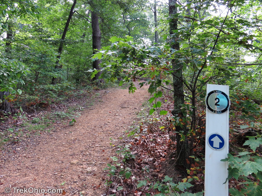
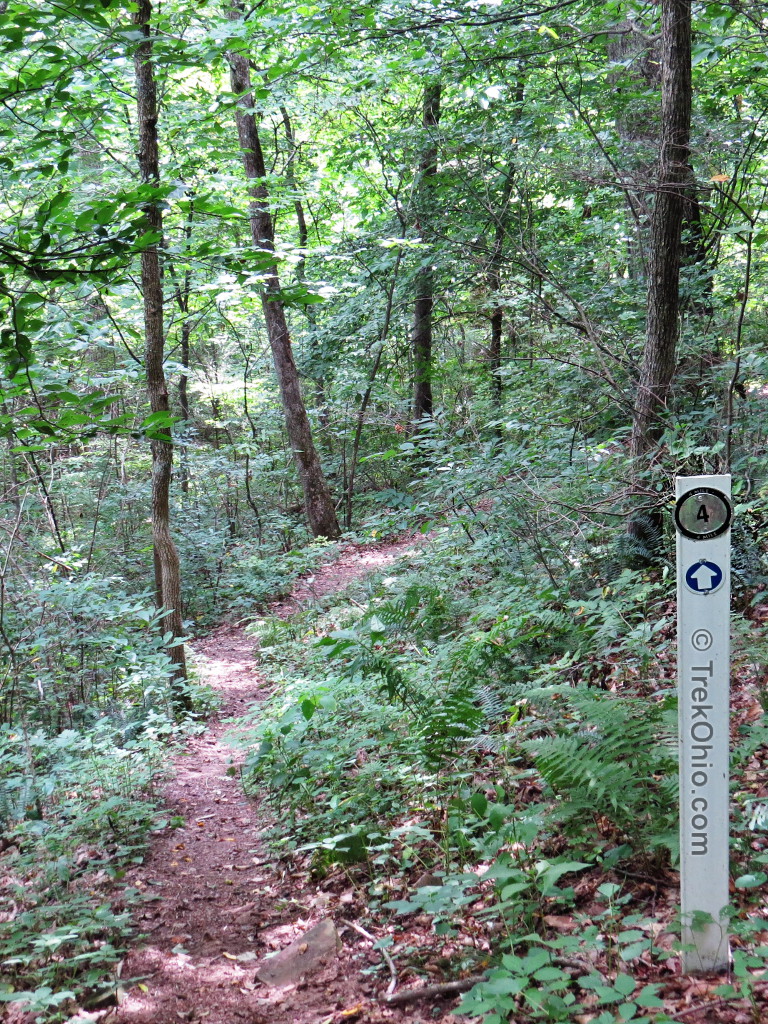
There is a short connector trail to a large loop that makes up the majority of the Day Hike Trail. When we came to the loop we decided to go in the clockwise direction. The trail designers seemed to intend this direction since the mile markers increased as we went along.
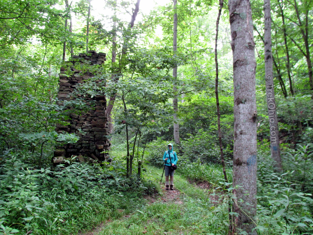
Shortly after starting the loop we walked by the remnants of an old chimney.
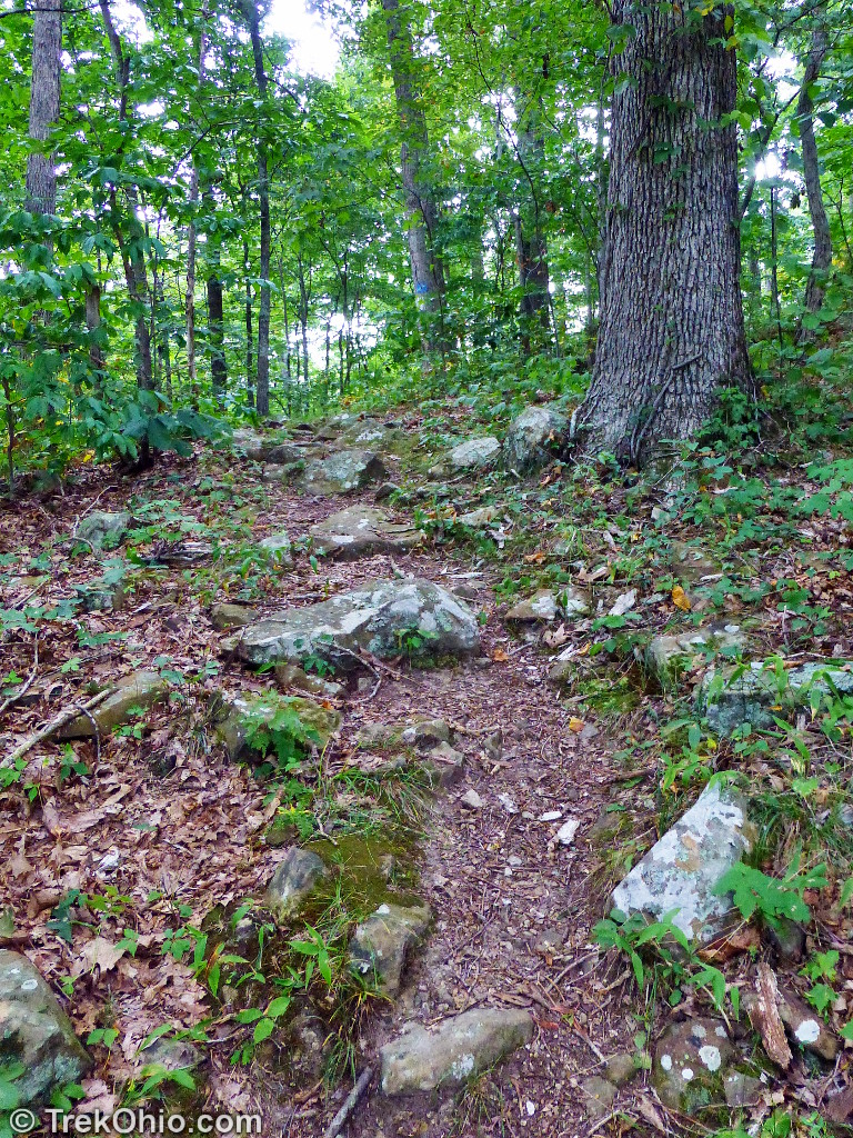
The ascent to the first and highest ridgeline was fairly steep, so the trail designers created a series of switchbacks in the trail.
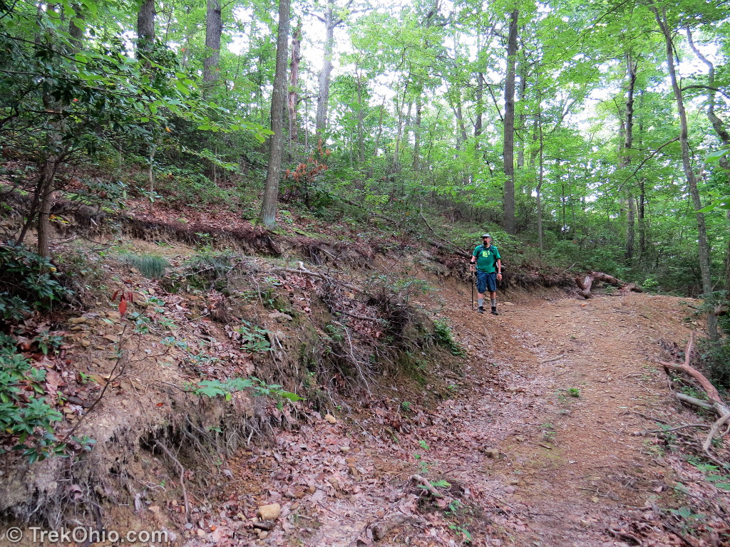
There were several places where the descent was steep and the trail surface was mostly loose gravel that sometimes rolled underfoot. I strongly recommend taking a walking stick along with you for better stability.
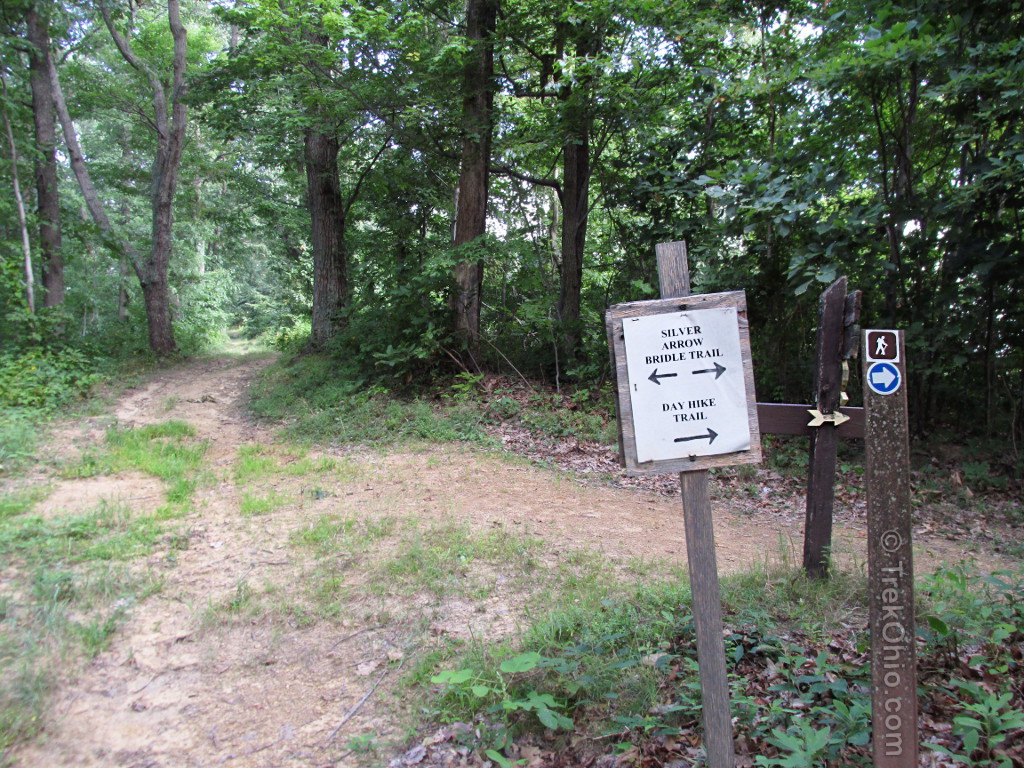
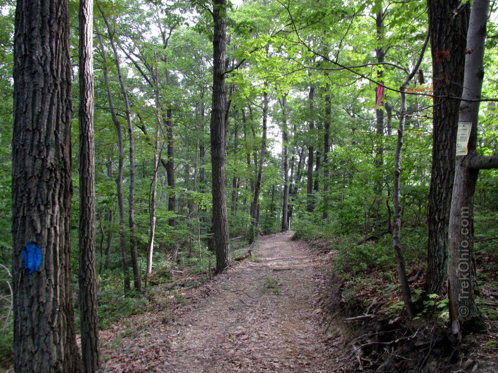
It wasn’t long before we reached the point where the Day Hike Trail and the Silver Arrow Bridle Trail merge temporarily. At this and at all intersections the signage was excellent. We were never confused as to which way we should go. In addition there were frequent blue blazes reassuring us that we were still on the Day Hike Trail.
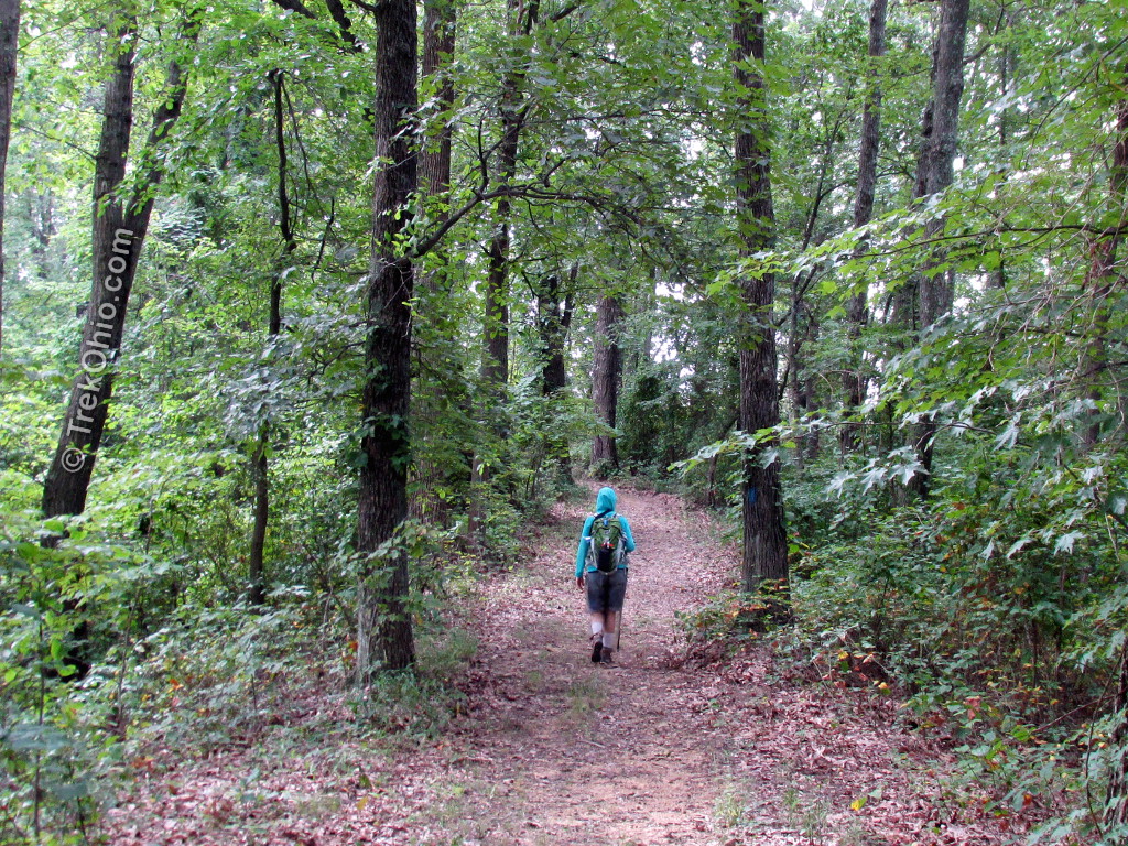
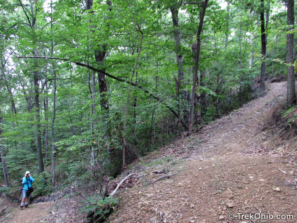
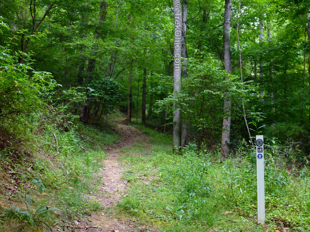
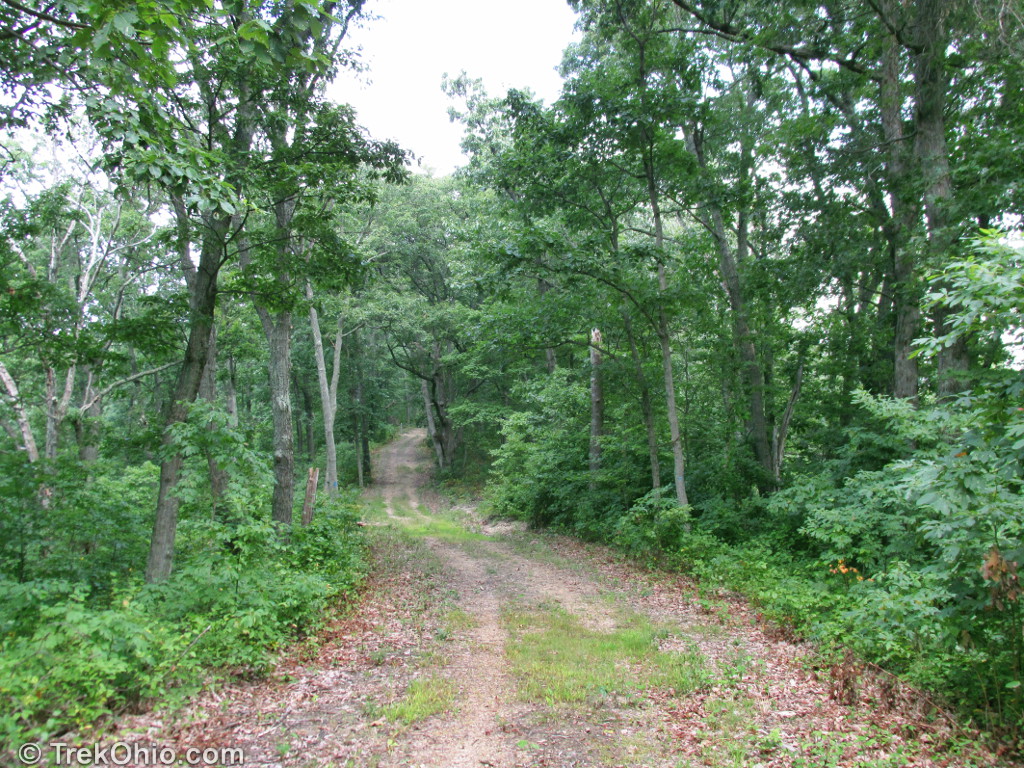
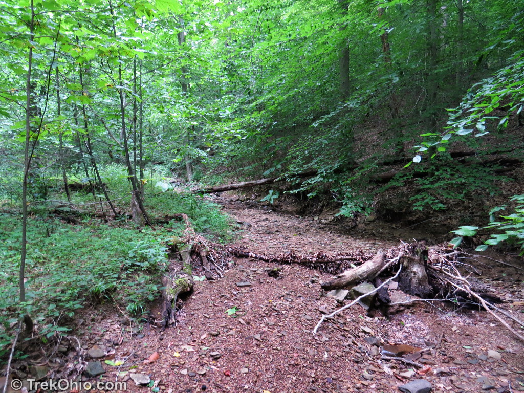
For the first four miles or so, the trails were nearly as wide as a road’s lane as seen above. However as you get close to the four-mile marker, the trail narrows to the points where hikers would need to walk single-file. It remains narrow for the next couple miles.

The trail crossed several dry stream beds. I would imagine if you were doing this hike in the spring, you’d have to do some wading. There were no footbridges.
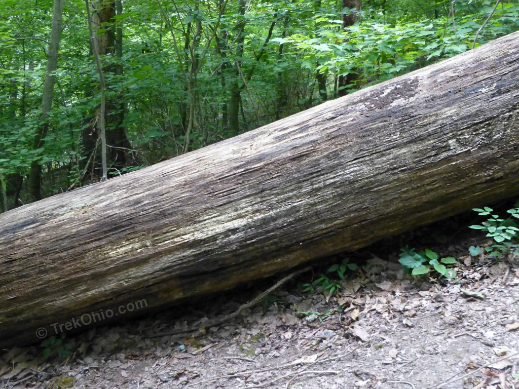
Around mile five, we enountered two spots where there were large logs across the trail. Bob managed to get over the log below by getting his upper torso on top of it and swinging his legs over. I wasn’t tall enough to manage this, but I was able to leave the trail and make my way around the trees roots.
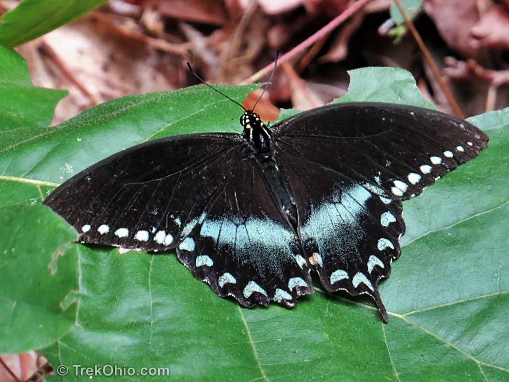
I saw a surprising number of Spicebush Swallowtail butteflies while hiking the trail. Sometimes their shadows danced over the trail as they flitted about over our heads.
The trail also passed by a large number of different fern species.


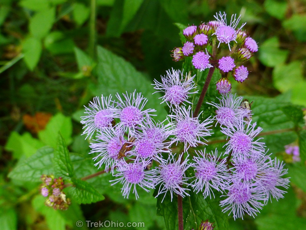
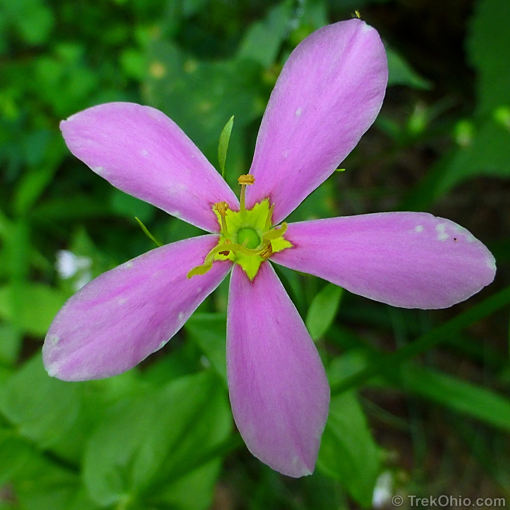
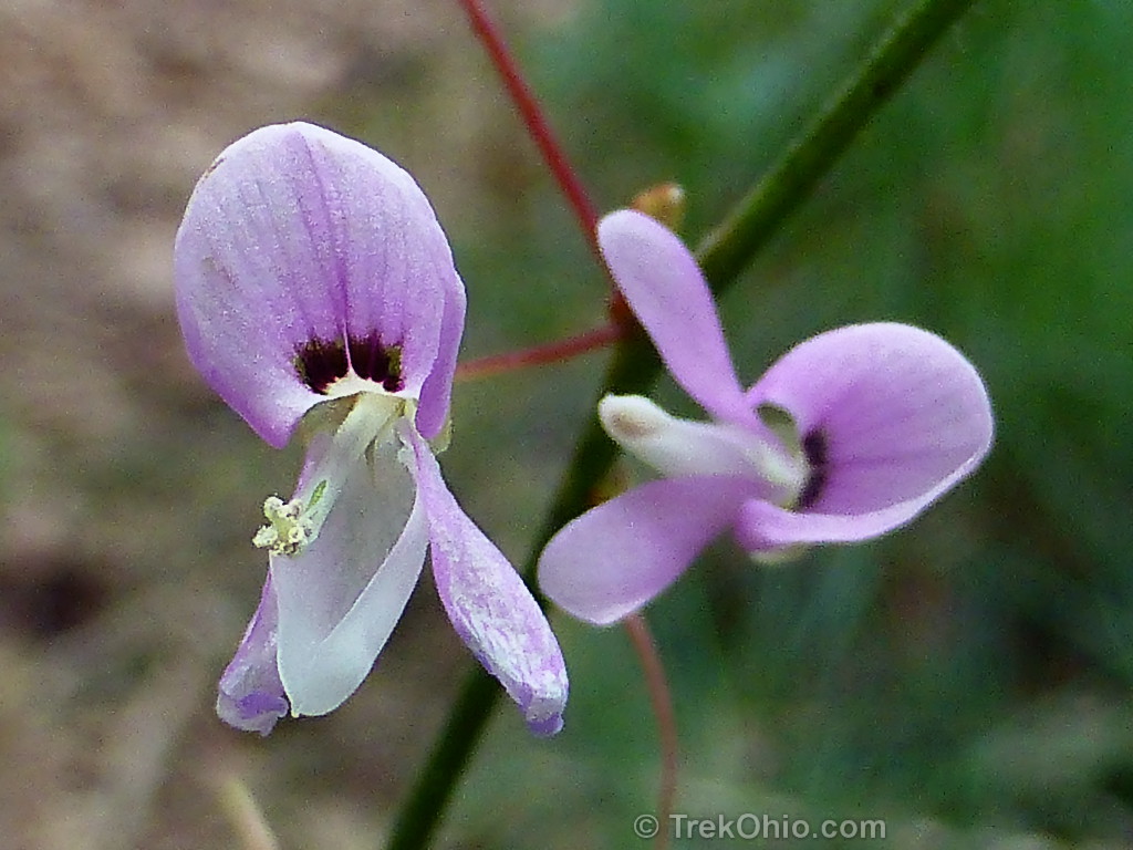
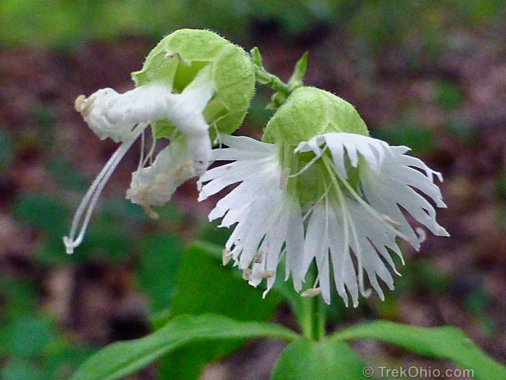
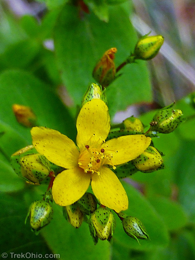
We also passed many species of summer-blooming wildflowers.


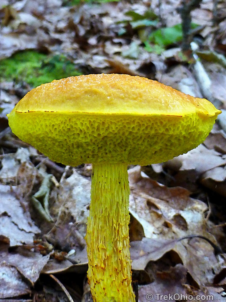
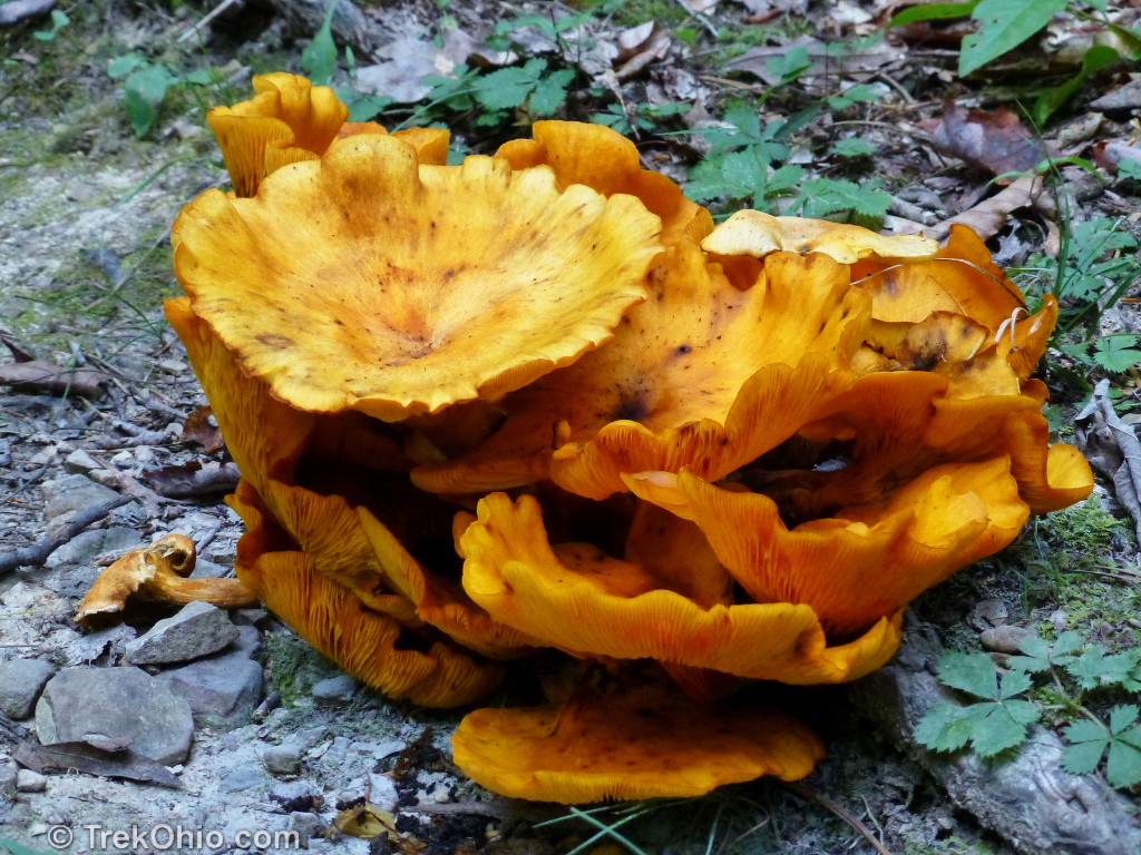
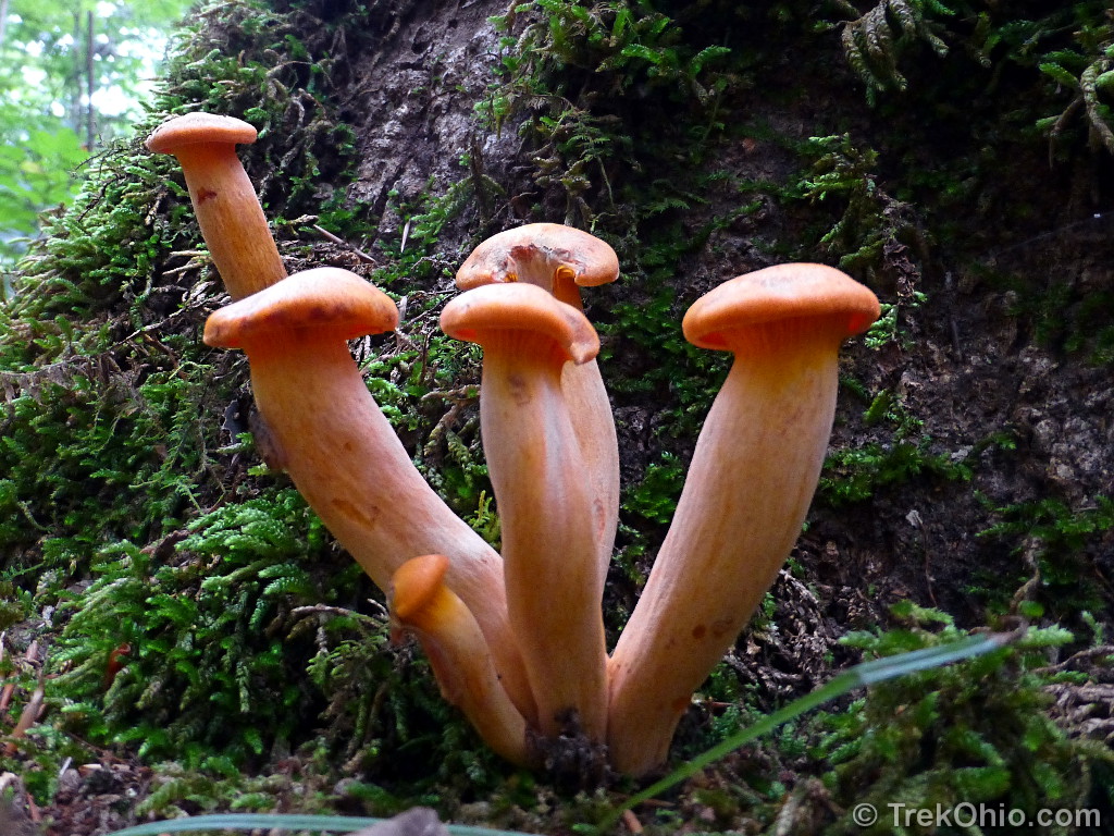
Sadly I don’t know one fungus species from another, but we also passed by many different species.
If you’ve done much hiking, you’ve probably run into more than a few spiderwebs stretching across the trail. The gnarly-looking, yet harmless, spider below is responsible for a lot of these. It is a female, spined micrathena spider (it’s female since only the female of this species makes webs).

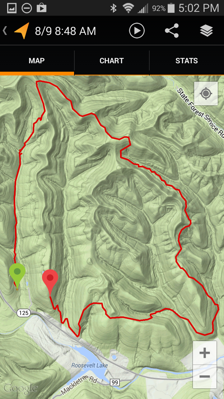
During the hike I was planning on using my cellphone’s “My Tracks” app to record information about the trail, but I accidentally had my phone set to look for wi-fi signals that weren’t there. Sadly this made it discharge all of its battery after only 6 miles of the 7.2 mile hike. Still I got some interesting data. According to “My Tracks” the lowest point in the recorded portion of the track was 620 ft and the highest was at 1268 ft. However since we were going up and down multiple times our total elevation gain was 2,463 ft. According to my Fitbit
(a type of pedometer) which recorded the entire hike, we climbed the equivalent of 121 fights of stairs. Below are a couple screenshots of the phone app related to our hike (click to enlarge).

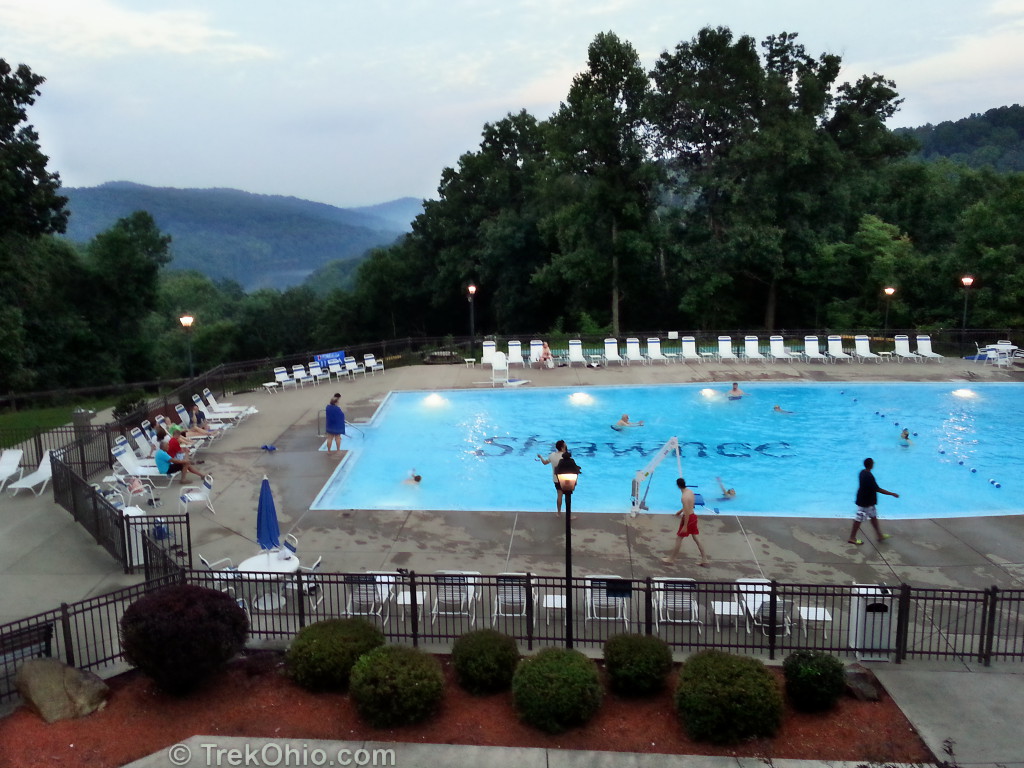
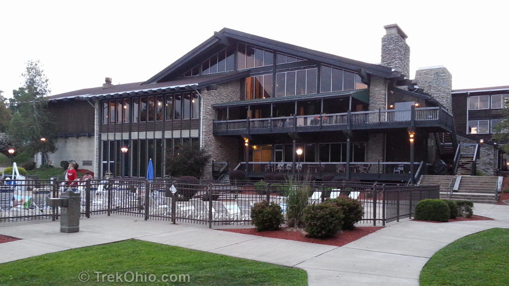
Because we don’t live in the area, we opted to spend the night before at the Shawnee Lodge and Conference Center. We arrived near dusk, and we found the accomodations to be clean and comfortable.
Having done the hike in August, if you are only going to do it once I think I’d recommend doing it in the fall. There were mostly deciduous trees, so there should be a lot of fall color. In addition it would be cooler then. Because we crossed a number of dry stream beds, I’m guessing that this would be a pretty wet hike in the spring. But if you decide to go in the summer like we did, make sure that you bring lots of water to help you cope with the heat and humidity.
Additional information
- TrekOhio: Updated information on trail – read about changes and expanded hiking options on the day hike trail
- TrekOhio: Scioto County Parks & Nature Preserves — Shawnee State Park and Shawnee State Forest are both in this county. This page includes links to the official sites and maps. There is also information on nearby parks and preserves.
- TrekOhio: Ohio Backpacking Trails — Part of the Day Hike Trail overlapped with the Shawnee State Forest Backpack Trail.
More on Scioto County
 Nature Center at Shawnee State Park
 Shawnee State Forest: Fall Hike on the Changed Day Hike Trail
 Ohio Lodges Reopen – Trip to Shawnee Lodge
 Raven Rock State Nature Preserve
Excellent report! I thank you for your detailed descriptions and photos, what to expect. I am going down there to hike with family. This looks perfect for a day hike.
When we hiked there, we stayed at Shawnee Lodge, which was very convenient. The nature center is also worth a visit. We stayed at Shawnee a few weeks ago, but used it as a base to visit some sites in adjacent Adams County. Buzzardsroost Trail (Edge of Appalachia) is a shorter hike, but ends in a spectacular vista. It’s about a 45 min drive (off of SR-125) from Shawnee.
That butterfly is a beauty! Fabulous photos once again – love the fern pictures 🙂 x
We saw so many of these butterflies that I was reminded of the Zelda video game where secretly magical places are identified by butterflies hovering over them. 🙂
There were so many ferns, and I had so many photos of them that I had to exercise a lot of restraint to just publish a few here. A little earlier this year I did a post that focused exclusively on ferns found in our woodlands: Basic Fern Identification.
Thanks Deb! You’ve just given me another thing to put on my “to do” list.
Your welcome, Mike. 🙂