Miller Nature Sanctuary is a well-hidden, state nature preserve in Highland County. It has three miles of trail that go past interesting geological features. It’s named after Eugene and Henrietta Miller, the couple that donated the land. The preserve is located on Rocky Fork Gorge just upstream from Highlands Nature Sanctuary. The preserve’s trails take you from the top of dolomite cliffs to the edge of the Rocky Fork Creek and back. In addition to cliffs and large slump blocks, the preserve includes three natural stone arches and several seasonal waterfalls. If that’s not enough, its also a great destination for viewing spring wildflowers.
The preserve was formerly a permit-only preserve so the entrance is nondescript. It consists of a small, paved parking area and a narrow one-lane road with a small gate at its entrance. Only after you’ve entered the parking area, will you notice a brown sign announcing the preserve.
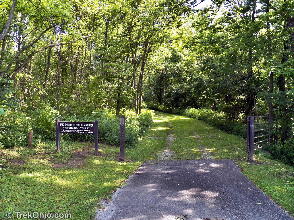
The gate was open the day we visited, so we drove half a mile down the road to a larger grass parking area (if the gate is closed, ODNR notes that you can park at the entrance and walk in).
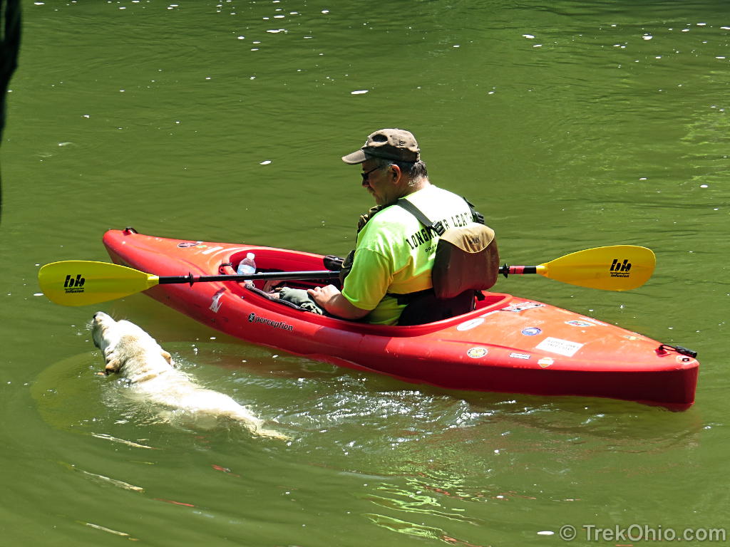
We parked and began our usual pre-hike preparations. It was then that we met our self-appointed guide who made an appearance from the woods, galloped up and slobbered on us. After introducing herself, she ran over to the trailhead, and looked back meaningfully (as in “Come on – adventure awaits you!”).

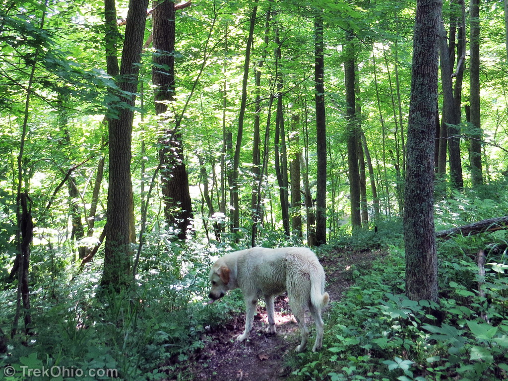
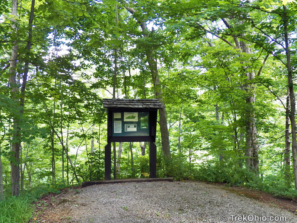
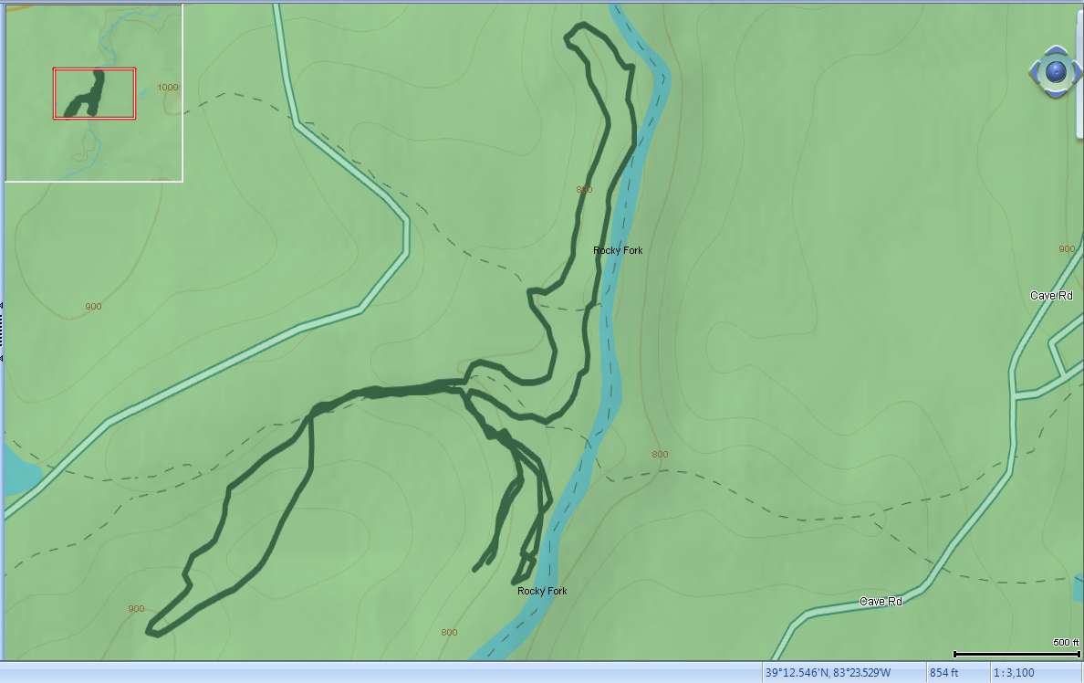
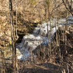
We continued with our preparations, and our guide disappeared down the trail. Near the trailhead is a bulletin board with a map. The trail system consists of three loop trails. The smallest is the Arch Trail that leads down to the creek. The Tuliptree Trail follows a tributary of Rock Fork Creek up into the hills. The longest trail is the Falls Trail which parallels Rocky Fork Creek and is named after a seasonal waterfall visible from the trail.

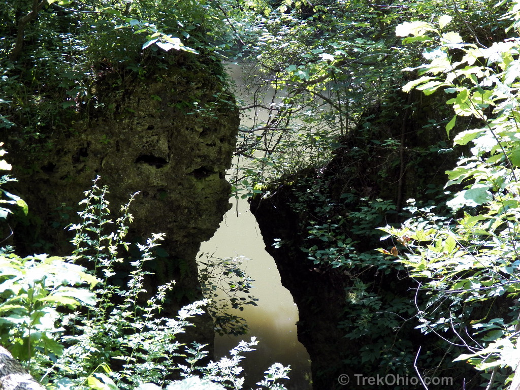
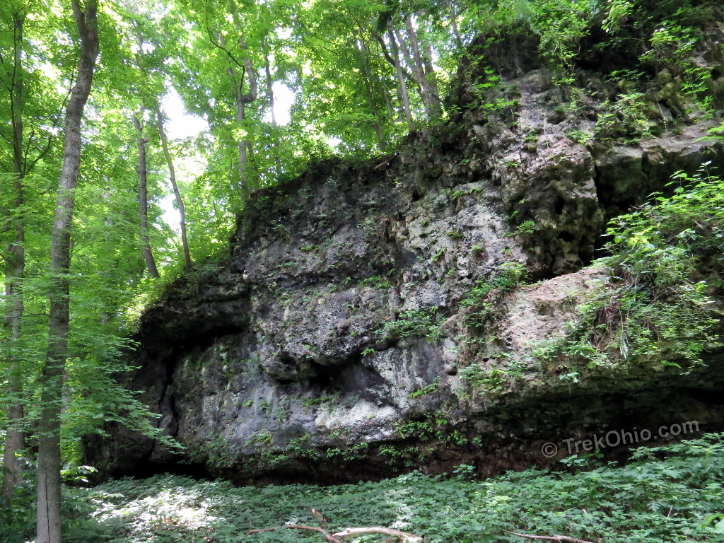
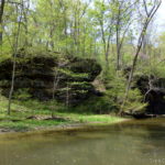
We started with the ½ mile Arch Trail. The trail descends to the creek passing two stone arches. Our guide reappeared near one of the stone arches. In the interim she’d gone for a swim in the creek. She ran through the arch and looked back at us to make sure we didn’t miss this geological feature. A number of slump blocks were also at the creek’s edge. The slump blocks were once part of dolomite cliffs, but once fractures in the rocks became sufficiently large, chunks broke off and gradually slid (slumped) downhill toward the creek.
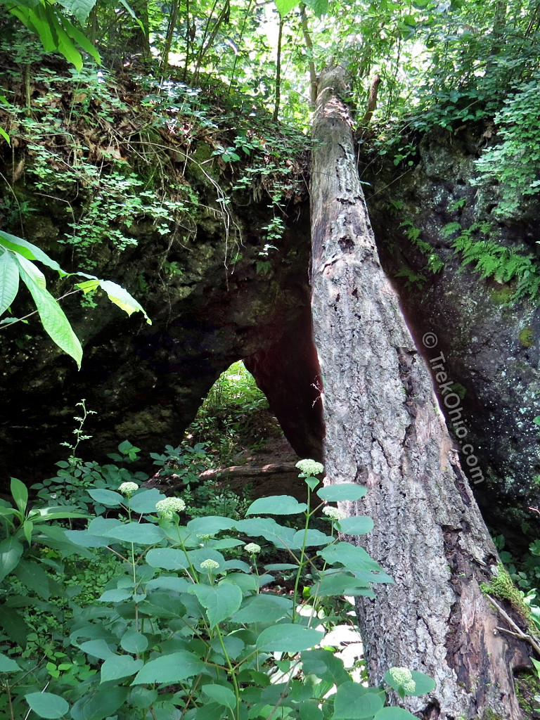
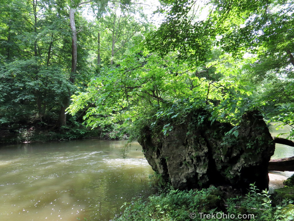
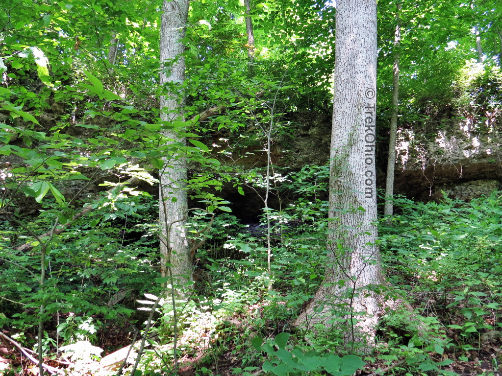
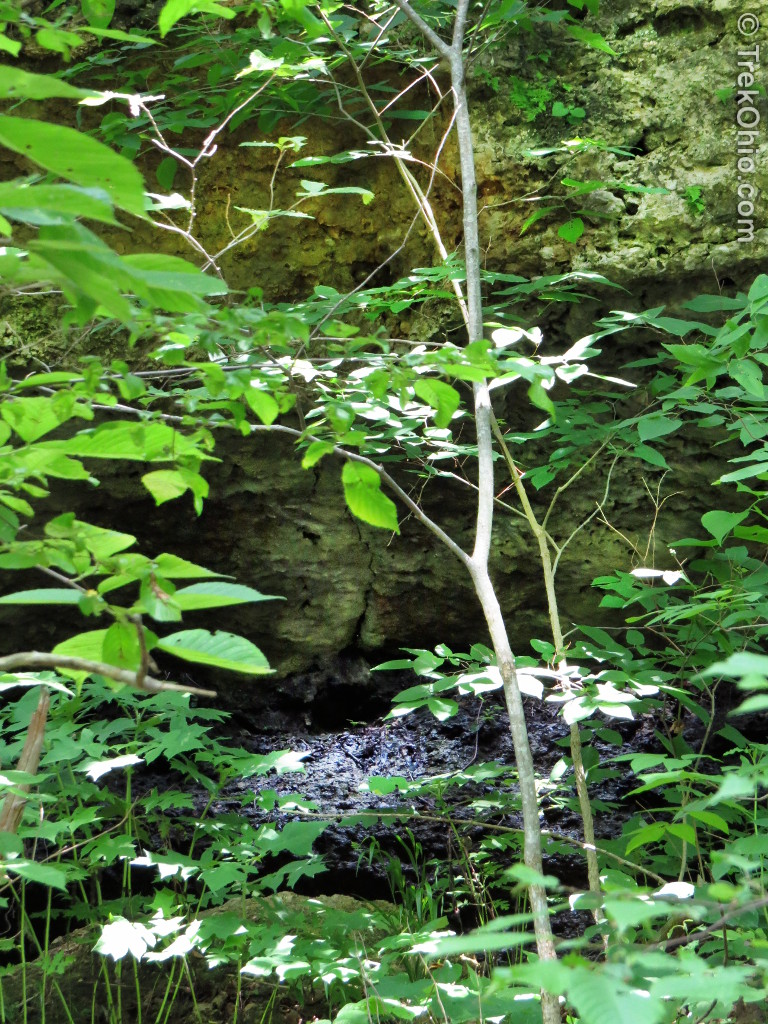
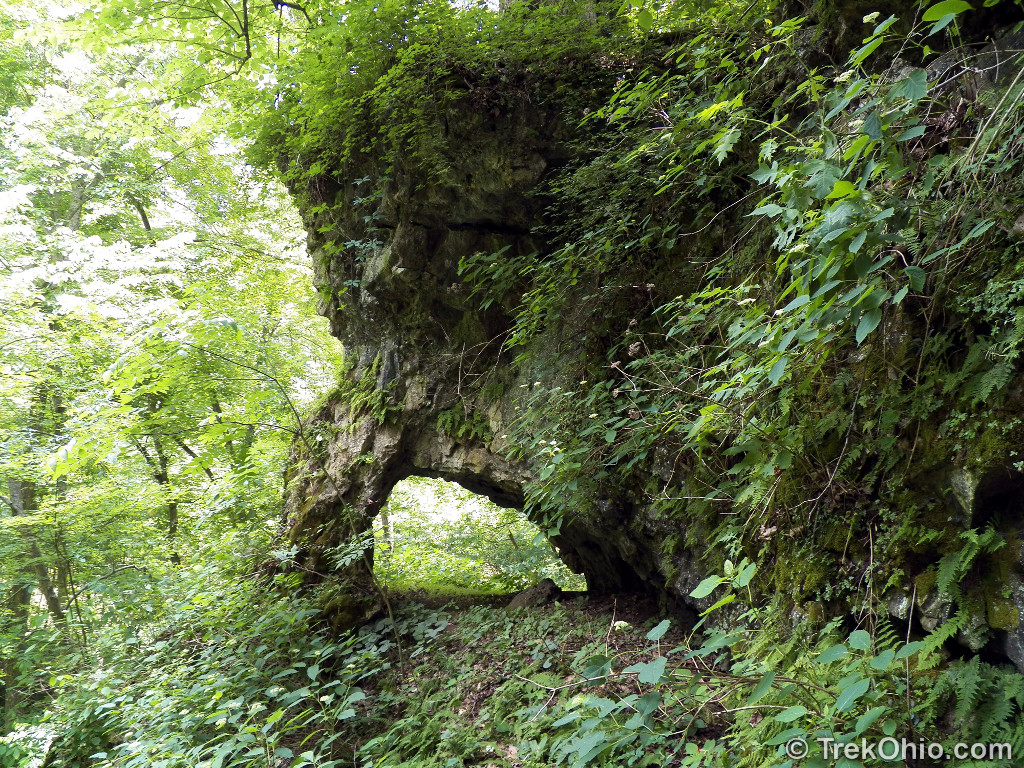
Had there not been a photo describing the feature in the photo below as a “natural bridge”, I wouldn’t have realized that it, too, is a natural arch. Apparently erosion has cause the dolomite outcropping seen below to fracture and split off from the dolomite behind it. In addition the earth below it has also eroded, and so one can think of it as being a natural bridge. That said, it’s not one of our state’s most spectacular bridges.
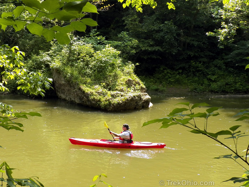
Our guide returned just as we were photographing some wildflowers. She decided we were boring (yes, it’s true!) and ran back to the creek bank just as a group of kayakers were paddling by. Abandoning us, she lept into the creek and swam past the kayakers to take the lead and guide them downstream.
We headed onwards.
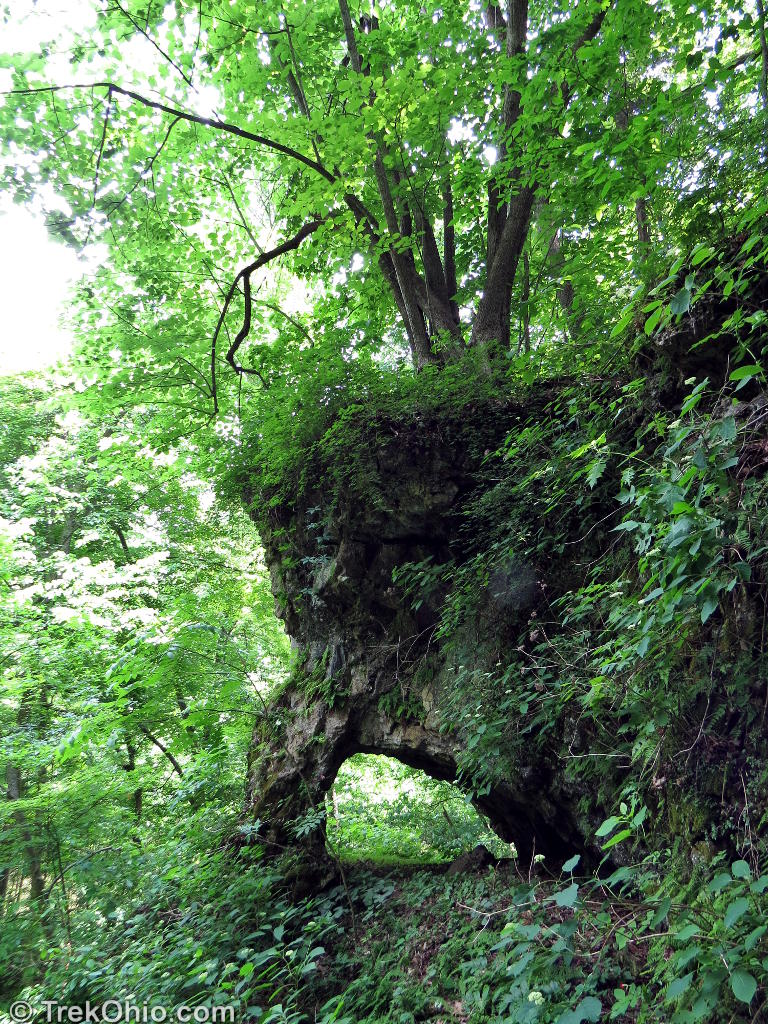
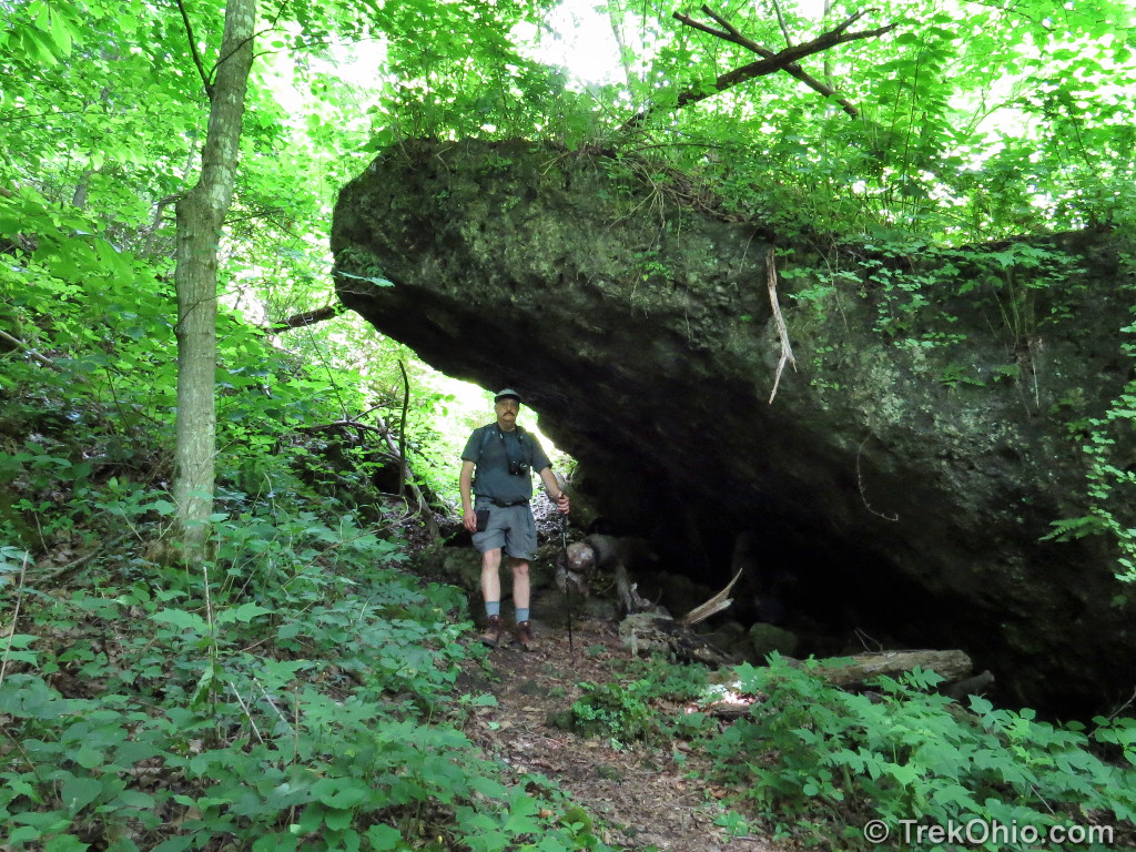
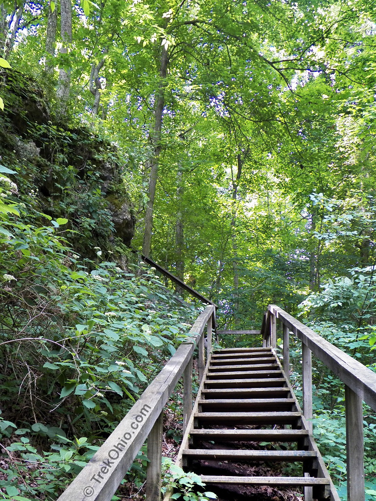
We finished the Arch Trail loop and continued onto the Falls Trail. This trail descends down to the creek, parallels the creek and then ascends the cliff via a series of wooden stairs. It then follows the cliff rim leading back to the start. Along the way were a couple of seasonal falls, views of the creek, the dolomite cliff wall, and quite a few large slump blocks. At the end of the stair climb is the largest of the three stone arches in the preserve; an arch resembling the head of an elephant.
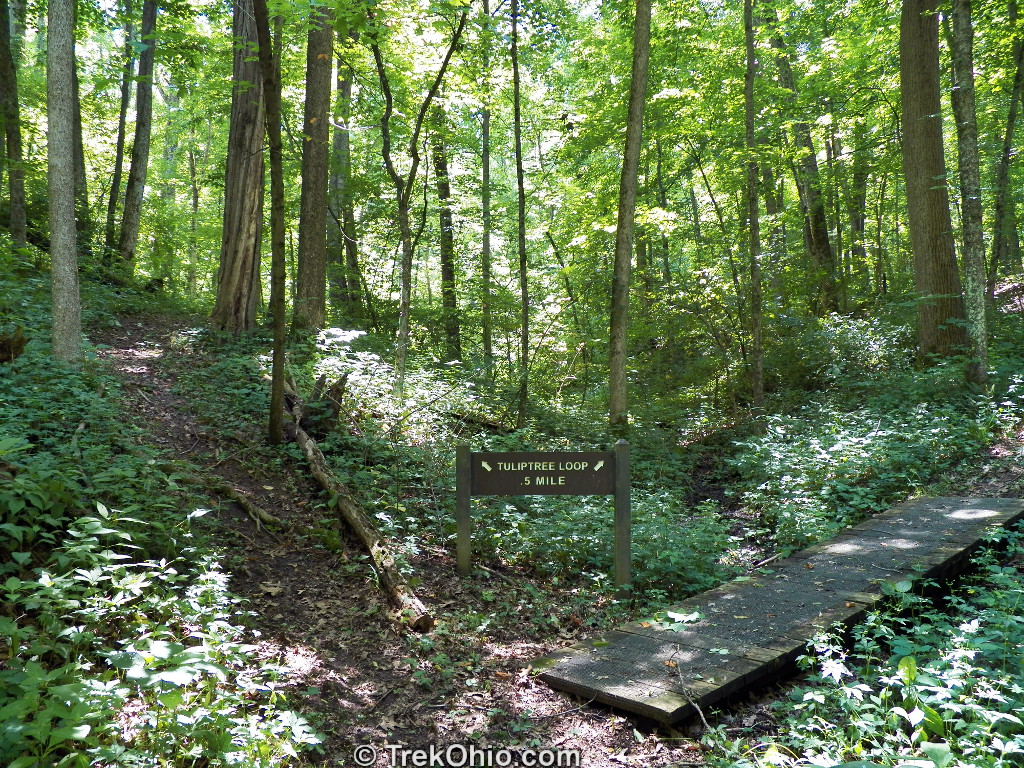
Our final trail was the Tuliptree trail. This follows a small creek and then has a loop that goes up, over, and around a hill. Like the other trails, this trail was through thick forest, but featured mature tulip trees which can grow quite large.

The trail ended back at the intersection with the Falls Trail and then it was just short walk back to the parking lot.
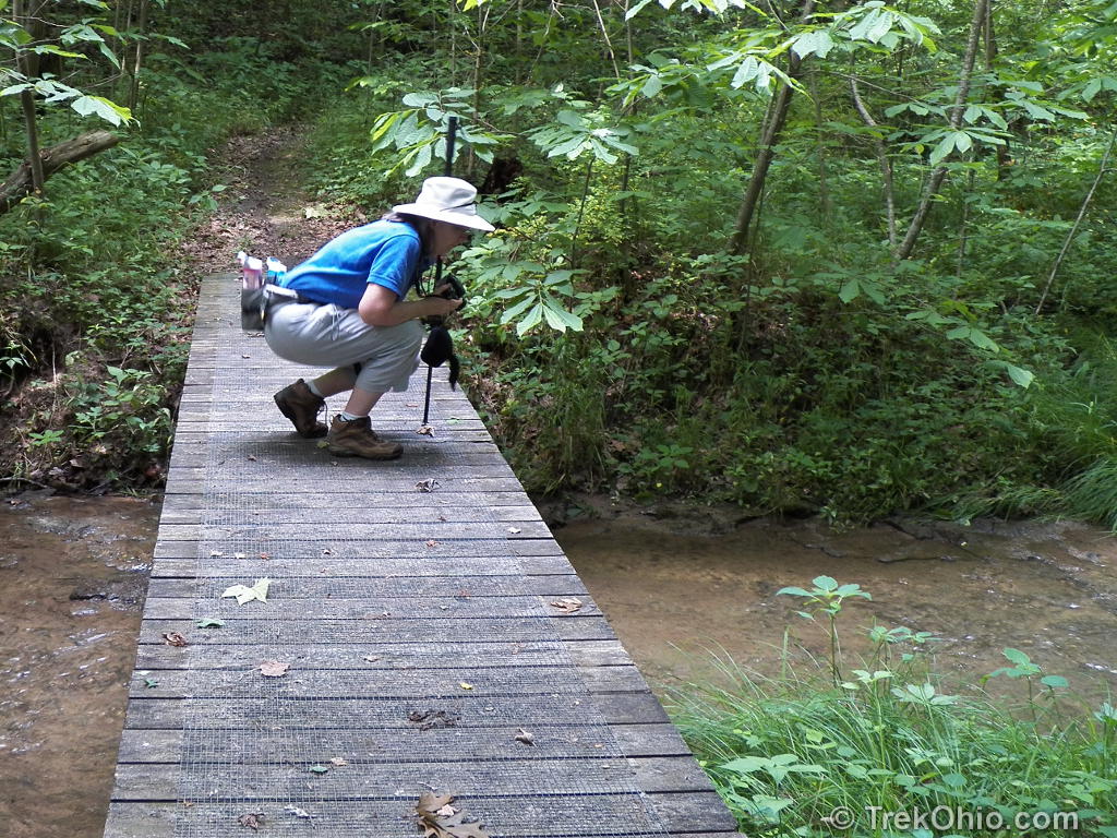
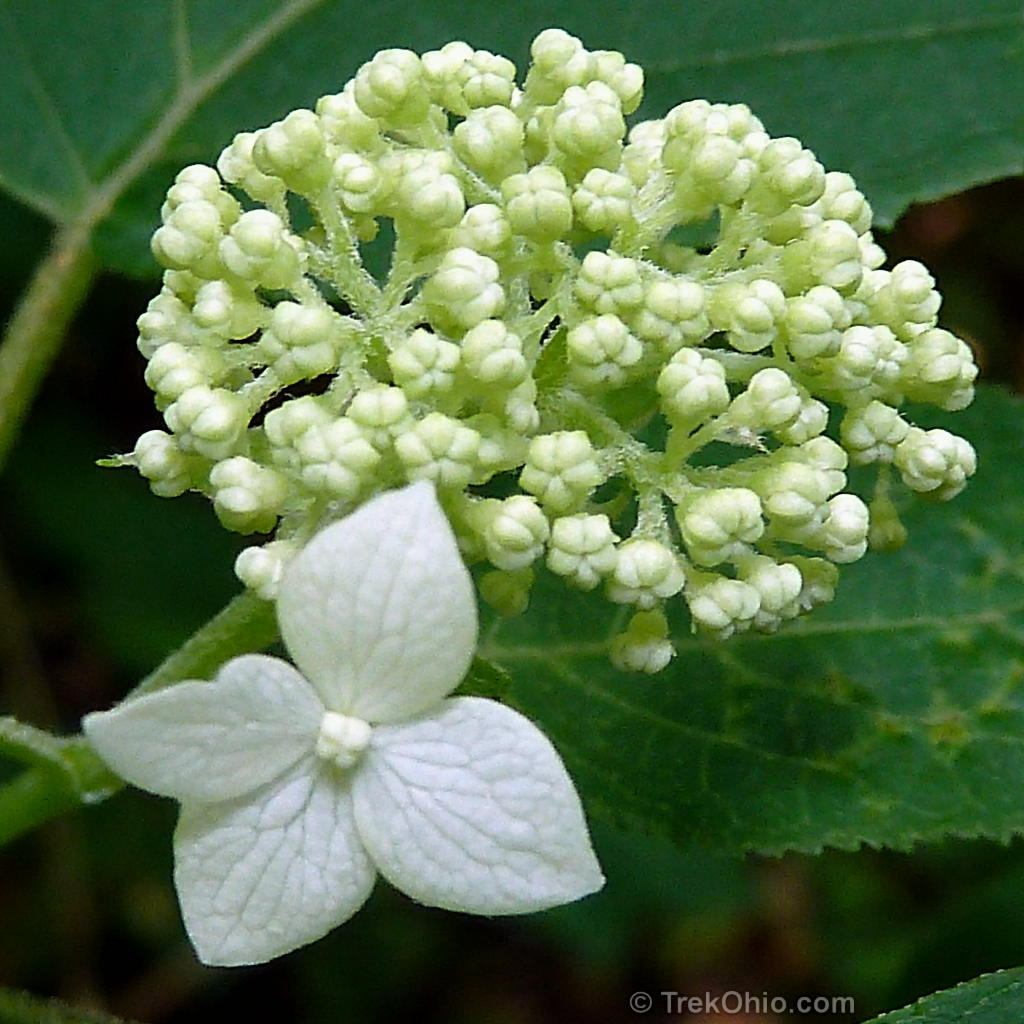
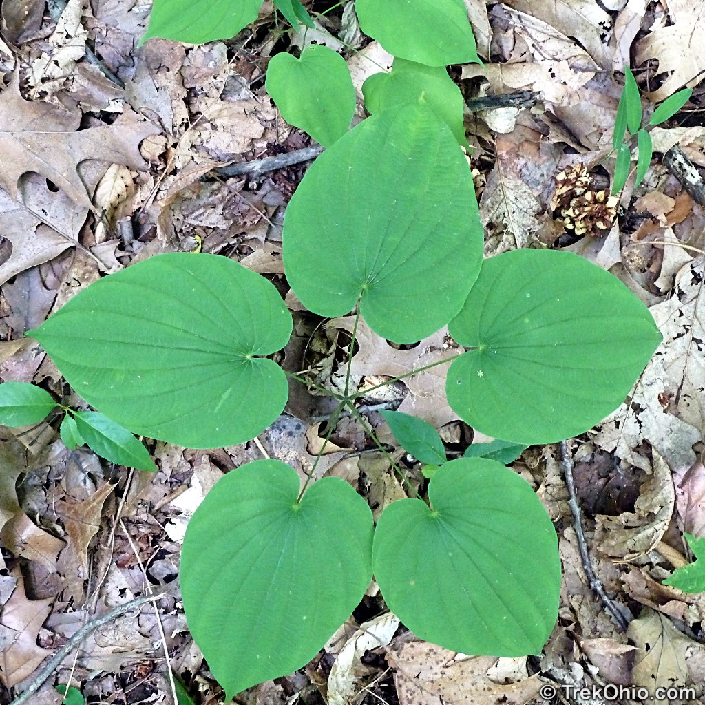
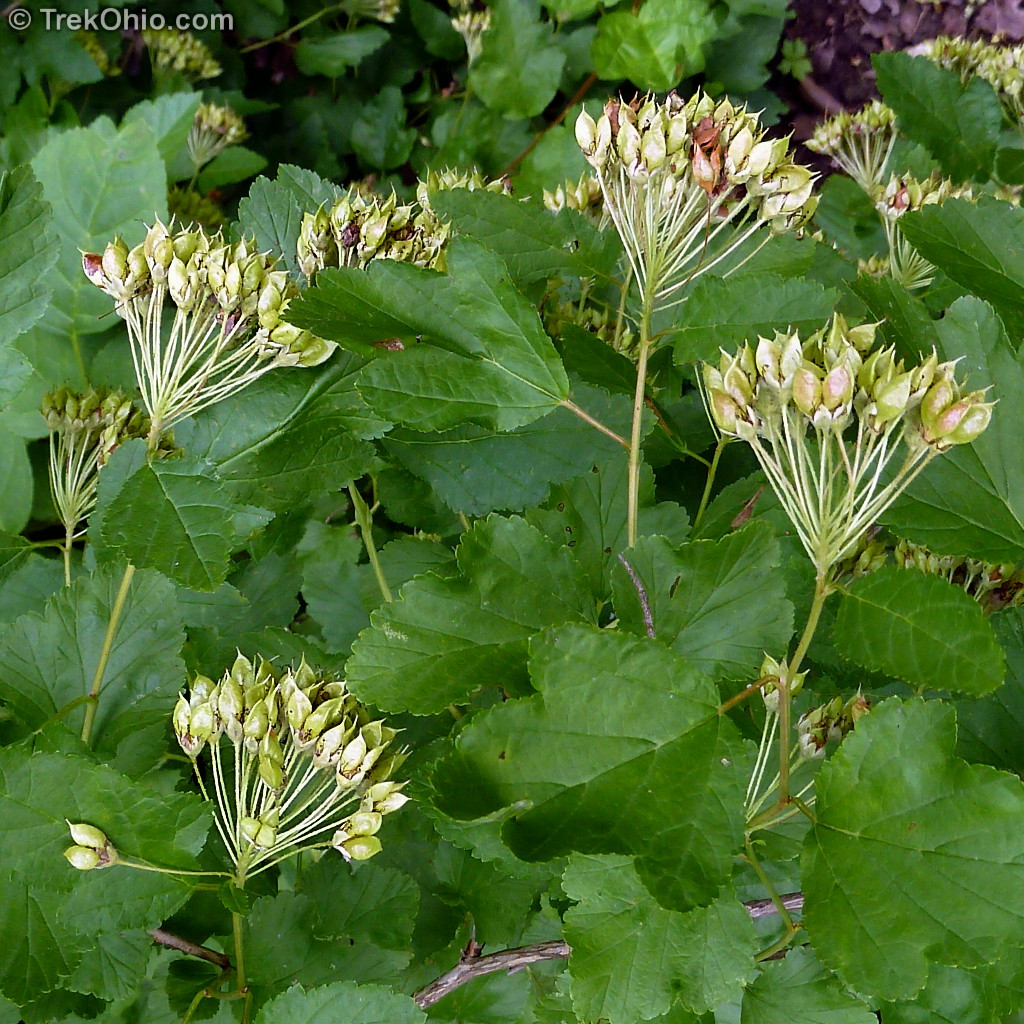
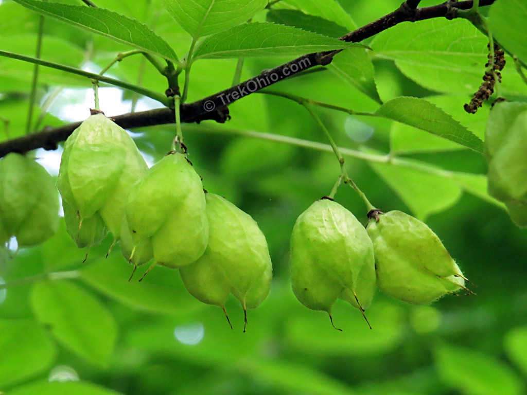
As mentioned at the beginning of this article, Miller Nature Sanctuary is well known for its spring wildflowers. However since we were visiting in mid-June, we missed out on this display. Nonetheless we still spotted some interesting vegetation.


Additional information
- TrekOhio: Highland County Parks & Nature Preserves
- TrekOhio: Highlands Nature Sanctuary – just down the road from Miller Nature Sanctuary
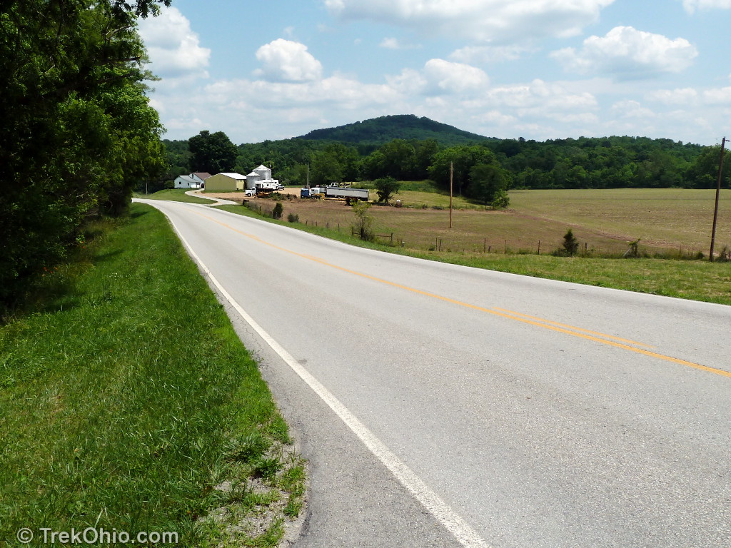
- TrekOhio: Fort Hill — This is a 15-minute drive from Miller Nature Sanctuary.
Location
Address: 13657 Barrett Mill Road Bainbridge, Ohio 45612
Geo-coordinates: N39°12.106′, W83°23.615′
Note: Don’t confuse Miller Nature Sanctuary in Highland County with the similarly named Miller Nature Preserve located in Lorain County.
Other Posts on Highland County

What a beautiful, secluded place! Thanks for suggesting it! We went after some rain, so the waterfalls were flowing! We want to go back in the winter when we can see the rocks a little better.
I found this trail while sight seeing on St.Rt.50 I spent about 4 hour hiking the trails and climbing rocks. This is a magical place. The trails are well kept and you feel vary remote and secluded for being so close to the road
Beautiful! I just love petunias; it is fun to see a wild one.
The arch formations are lovely. I’ve not heard of Peeble’s dolomite.
The scouring rush reminds me of bamboo. It sounds very hearty like bamboo.