What’s referred to as The Ridges is over 1000 acres of land owned by the Ohio University in Athens, Ohio. The university makes use of a number of buildings on this land to house administrative offices, an art gallery and an art museum, among other things. In addition the Ohio University has allowed non-profit organizations to develop a number of trail through the area. Among them are the Ridges Trail, the Athens Trail, the Ridges Cemetery Nature Walk, and the River Valley Nature Trail. Today I’ll be focusing on the Ridges Trail which leads to Athens’ highest point, Radar Hill. I’ll also briefly touch on the Ridges Cemetery Nature Walk. In a previous article on Strouds Run and Sells Park, we discussed hiking a different portion of the Athens Trail.
This area was named The Ridges as a result of a naming contest in 1984. As you can see from the embedded terrain map below, it is a very apt name. The trail (shown as red lines) follows the ridgeline of this hills in this area.
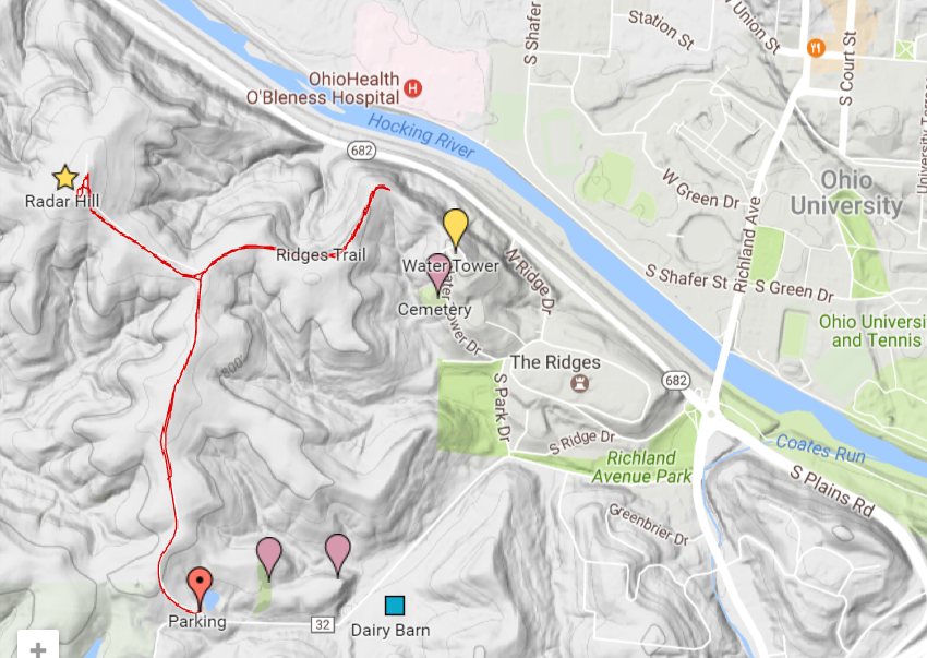
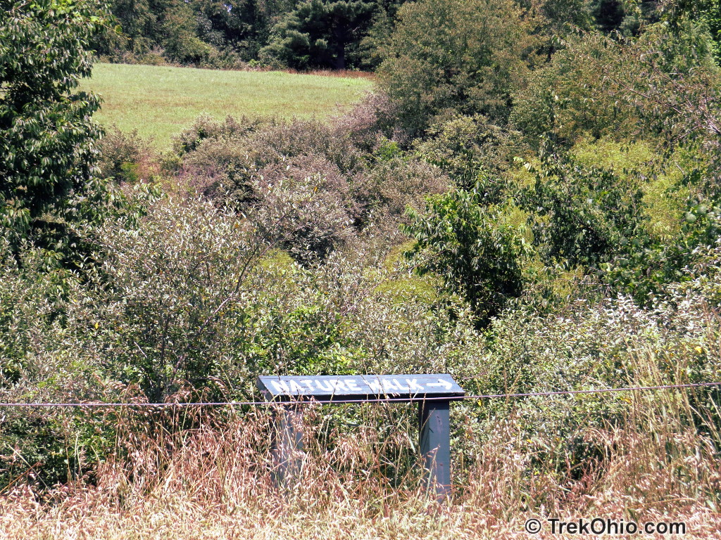
We didn’t hike the Ridges Cemetery Nature Walk, but if you look at the map above, there are three purple markers showing the locations of the cemeteries. The Nature Walk leads from one to the next following the low areas.
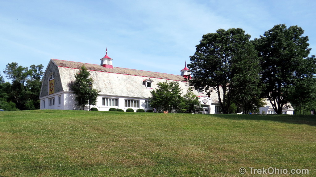
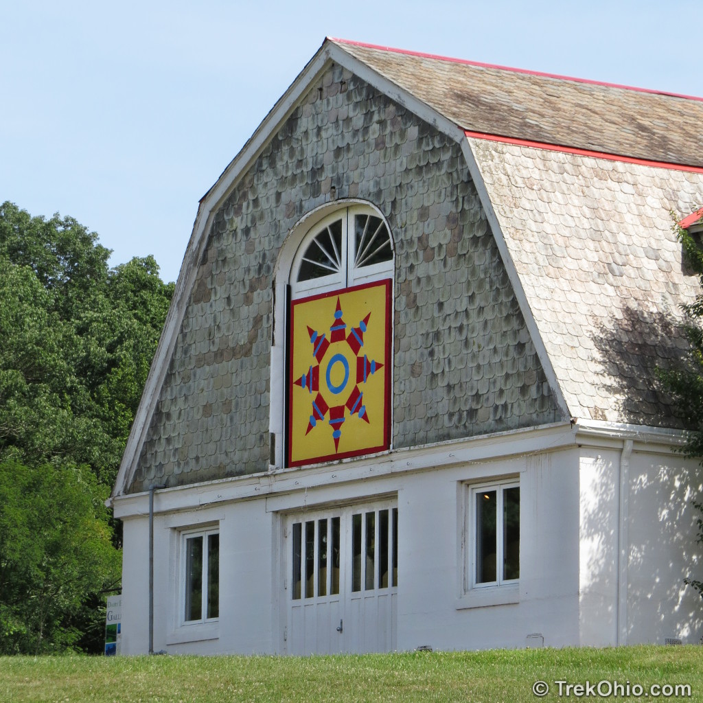
The Dairy Barn
As you are driving to the parking area, you’ll pass the Dairy Barn; it was constructed in 1914 and has been re-purposed by the Ohio University to house the Dairy Barn Arts Center.
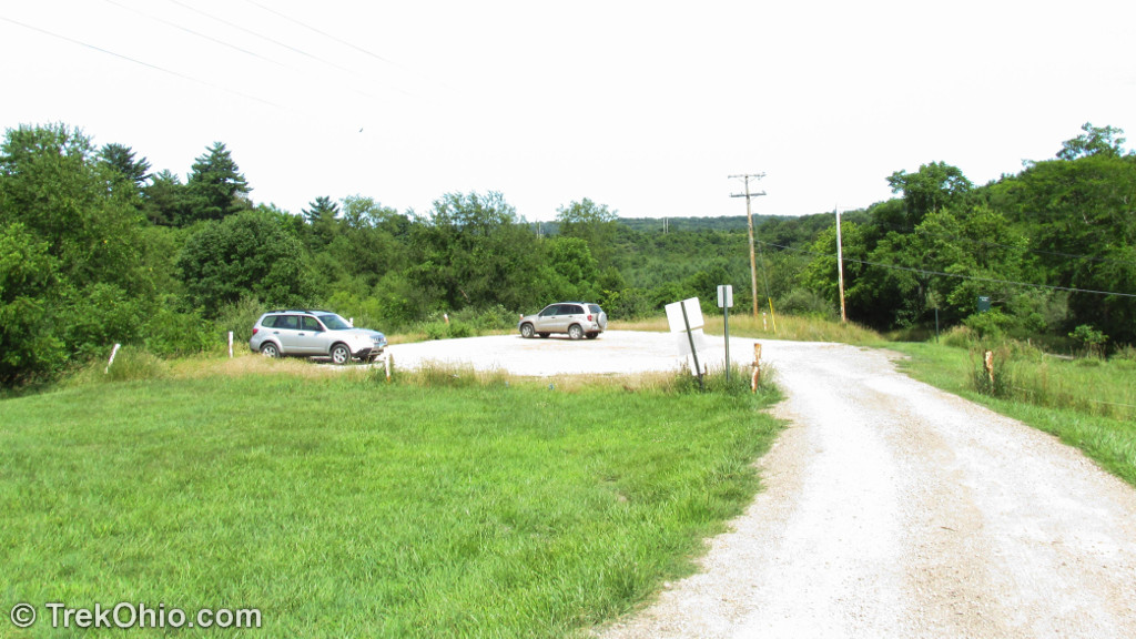
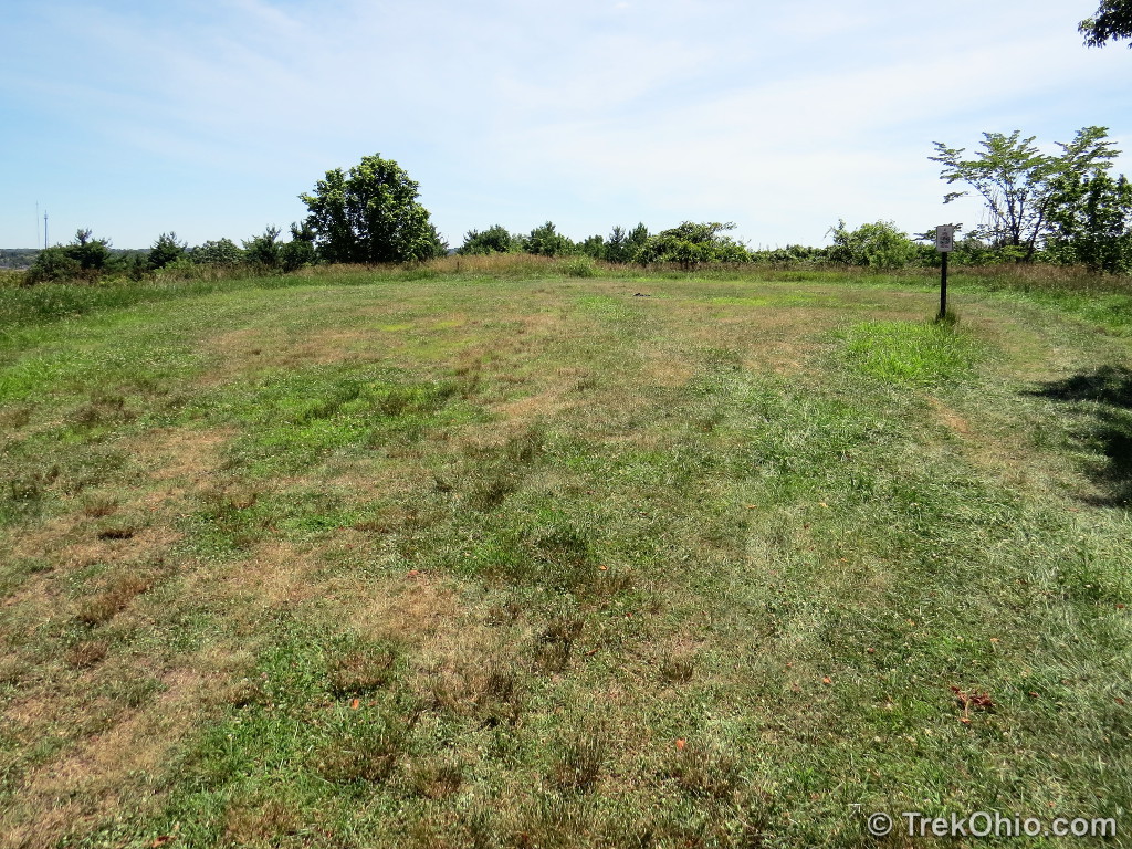
Trail juncture
Below is a photo taken from the Ridges Trail looking back at the parking area. If I wanted to follow the Ridges Cemetery Nature Walk, that trail is to the left of the parking area and descends into a hollow.
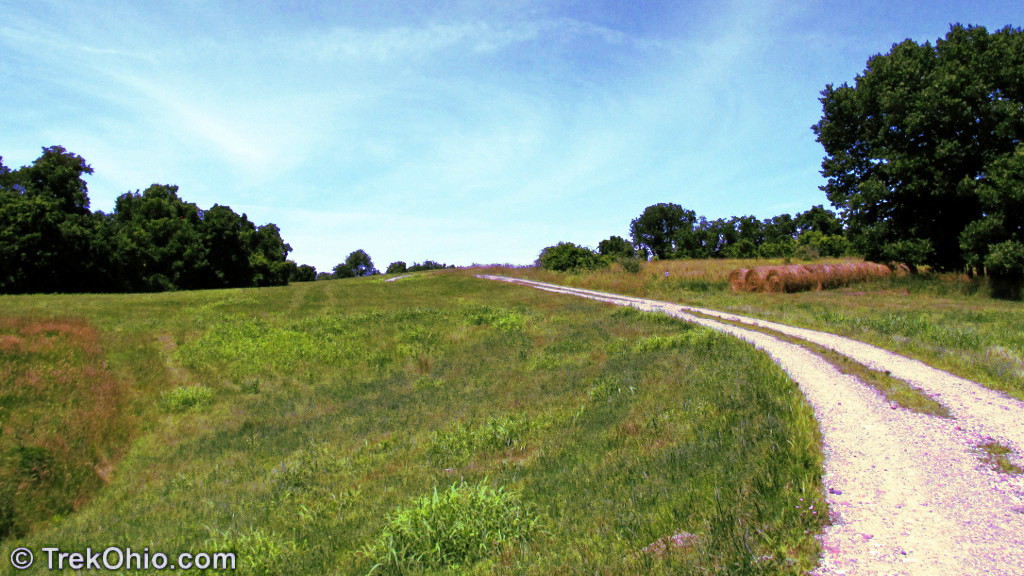
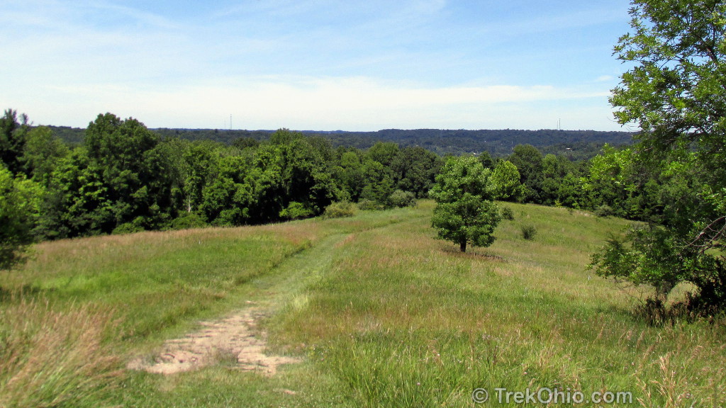
Ridges Trail
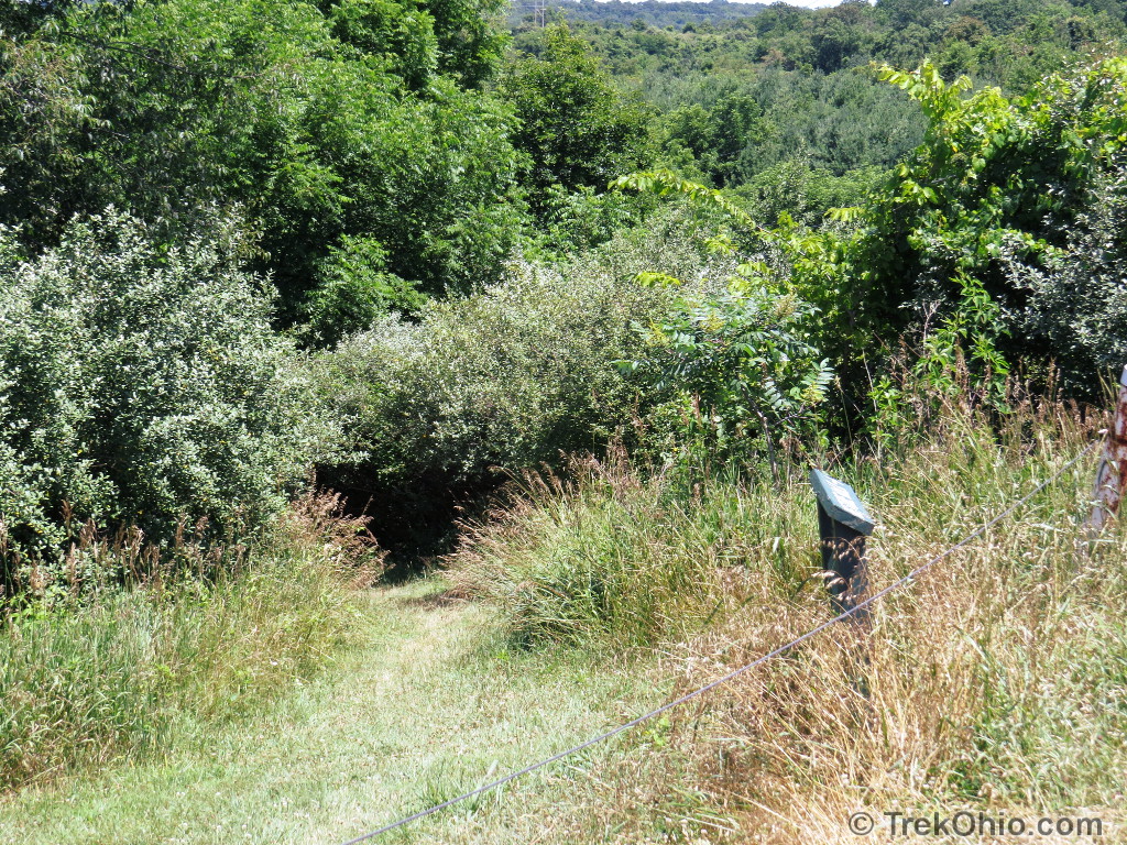
This is a Y-shaped trail. From the parking area we followed the trail along the ridgeline until it forked. We took the left (westward) fork which led to Radar Hill. After climbing to the top of the hill, we could have continued onward to the northwest on the Athens Trail or to the northeast on a connecting path that leads to the River Valley Nature Trail. Since we just wanted to explore the Ridges Trail during this visit, we retraced our path back to the fork and took the other branch of the Ridges Trail. I believe this branch goes eastward the whole way to the water tower. We turned back before making it to the tower and retraced our steps back to the car. Our round-trip hike was about 2.5 miles. Since the trail is wide with gentle slopes, it made for a very easy hike.
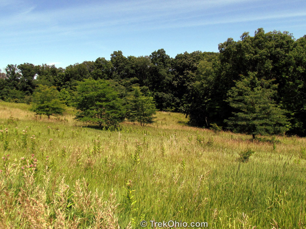
There was a sign at the parking lot that identified this land as the “Ohio University Ridges Land Lab Nature Preserve and Scientific Research Area”. As we started our hike in the photo above, we could see the tops of some university buildings. Occasionally we saw some small, cultivated plots of land in areas to the side of the trail. This is all part of the Land Lab research, and its important to remember to stay on the trail and not enter any of the cultivated plots.

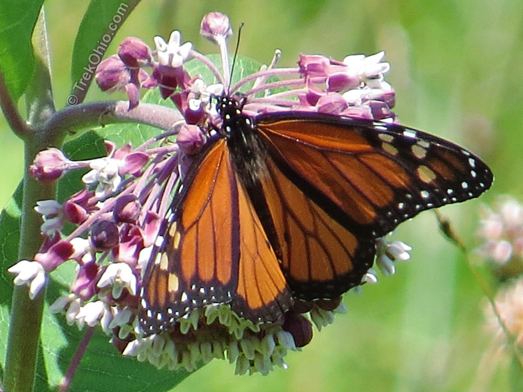
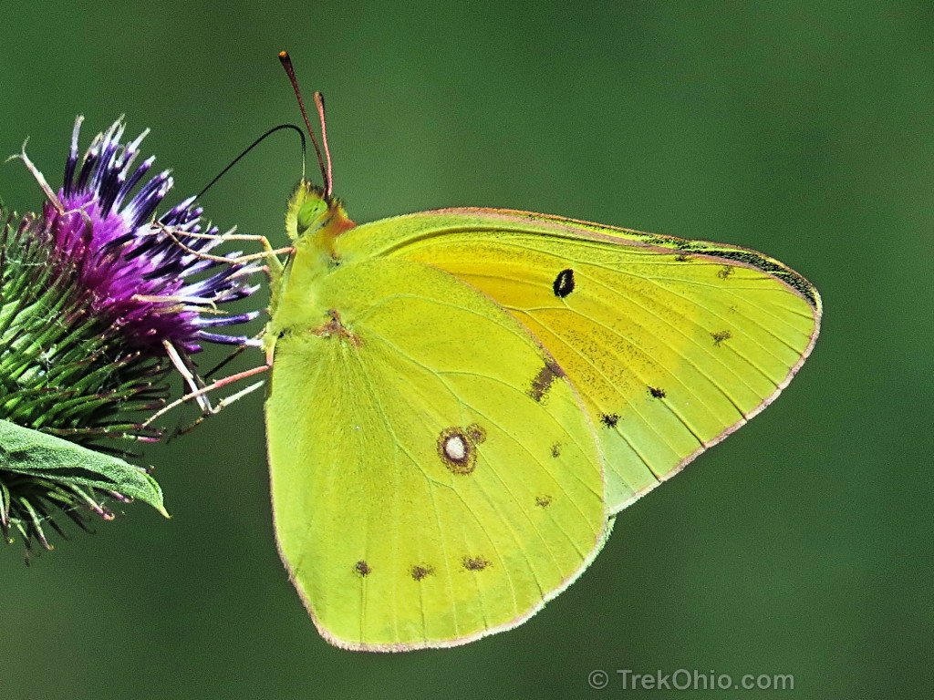
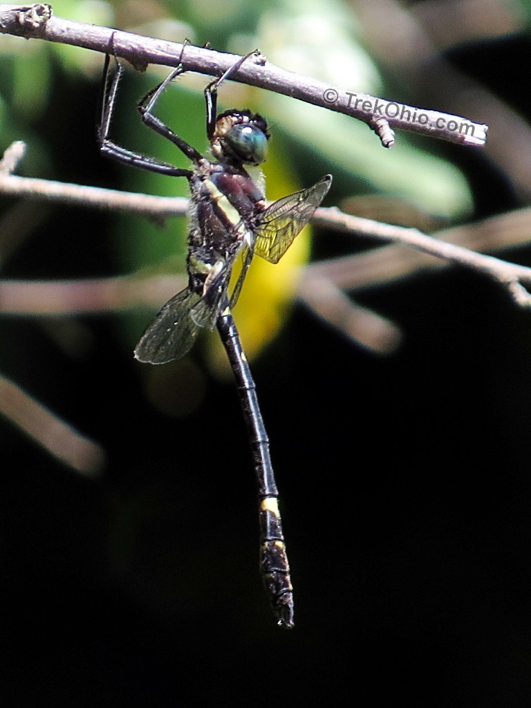
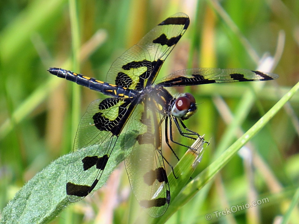
The fields next to the trail were perfect for spotting butterflies.
I also was able to discover some new-to-me species of dragonflies. If you’re interested, I have been cataloging dragonfly species as I come across them here.
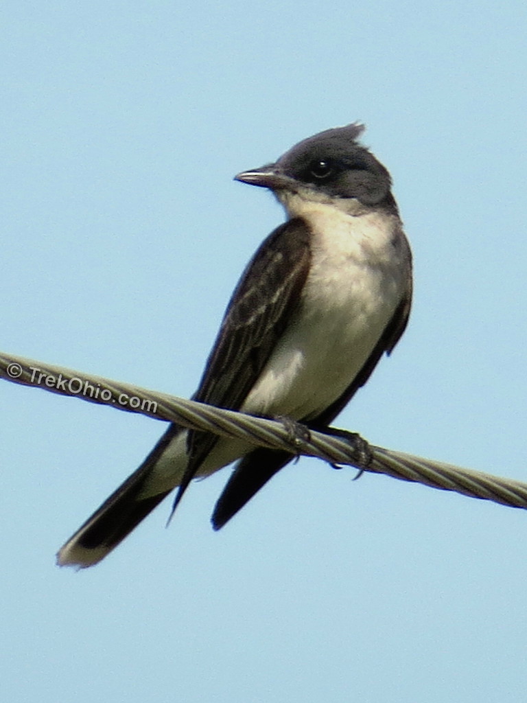
And the above critters naturally attracted insect-eating birds like the Eastern Kingbird pictured below.
We also saw Turkey Vultures sunning themselves on some cell towers (for more on these birds, check out our earlier article on Turkey Vultures and Black Vultures).

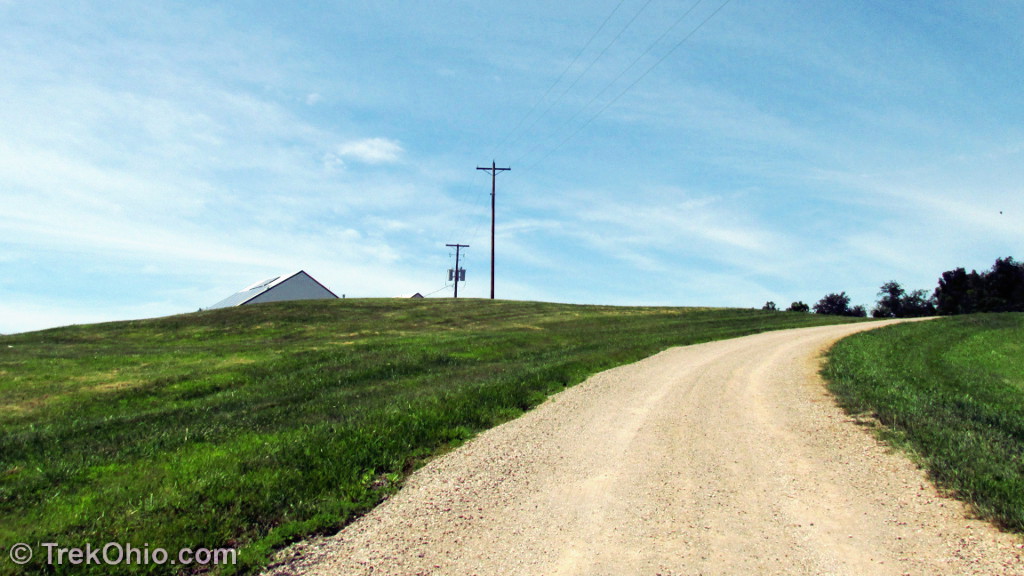
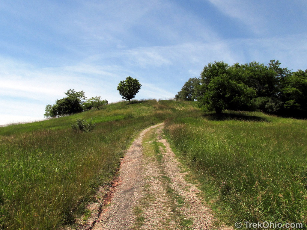
Since most of the trail was surrounded by grassy fields, you might want to consider wearing sunscreen or a hat if you decide to hike here. However there were the occasional stand of trees like those below.

Radar Hill
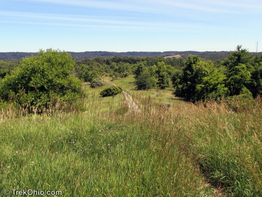
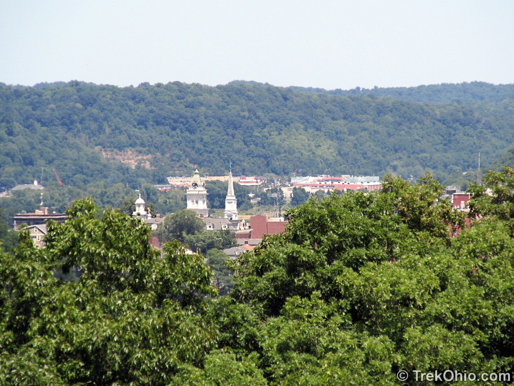
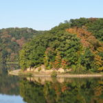
The U.S. Army built a defense radar station on this hill during WWII. After the war it became a research facility that was used both by the U.S. Air Force and Ohio University (OU). Additional technology was installed in the facilities on the hill. In the early 1960s OU was awarded a contract by NASA to do research on the lunar surface in preparation for the Apollo moon mission later that decade. OU made history in 1966 by becoming the first non-governmental body to own and operate a satellite tracking facility. However the glory days of Radar Hill were soon to come to an end. Continued advances made the technology on Radar Hill seem more and more dated. By 1969 OU’s engineering department moved out of the Radar Hill facilities. Eventually the buildings were razed and now the hill is a favorite hiking destination. Since Radar Hill is the highest point in Athens, it affords a great view of the surrounding area (the view is depicted in the topmost photo of this article).
There is a mown connector path leaving eastward from Radar Hill. It eventually reaches the River Valley Nature Trail. However if you follow it for just a short ways, you can stop and get a nice view of Athens.
The Athens Lunatic Asylum
As I mentioned earlier, the name of this area, “The Ridges,” was the winning entry in a naming contest. The original name for this place was the “Athens Lunatic Asylum.” In 1868 this institution was founded to provide compassionate care for the mentally ill. The surrounding grounds encompassed 141 acres at first, but the institution gradually acquired more land. Much of that land was dedicated to farming, and the residents contributed their labor because productive work was considered to be therapeutic at the time. The farming also defrayed some of the costs of keeping the institution running, but it never reached the point of making the institution self-sustaining.
From 1868 through 1993 the institution remained in operation, changing names with the times. Here’s a list of its names:
- Athens Hospital for the Insane
- Athens Asylum for the Insane
- Athens State Hospital
- Southeastern Ohio Mental Health Center
- Athens Mental Health Center
- Athens Mental Health and Mental Retardation Center
- Athens Mental Health and Developmental Center
Because the institution was in operation for so long, it was involved in a number of cutting edge treatments that have since been discredited, such as hydrotherapy, electroshock, lobotomy, and psychotropic drugs. After the hospital was decommissioned, the state of Ohio and Ohio University did a land swap, and Ohio University acquired ownership of the land.
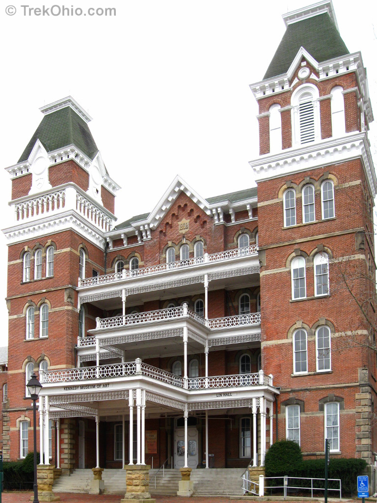
The former hospital was quite large. In 1960 its square footage was 660,888. Below is a photo of just the building’s front entrance. Of course it is not a hospital now; among other things it houses the Kennedy Museum of Art. There are large wings extending on both sides of this portion of the building. Back when it was a psychiatric hospital, men lived in one wing while women lived in the other.

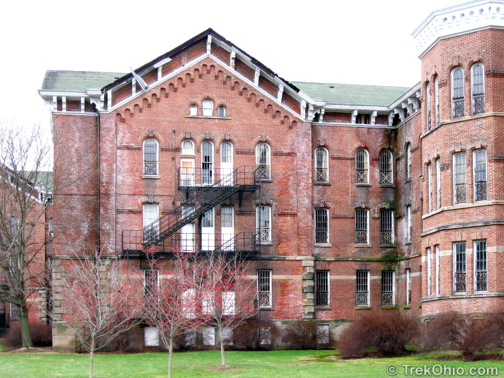
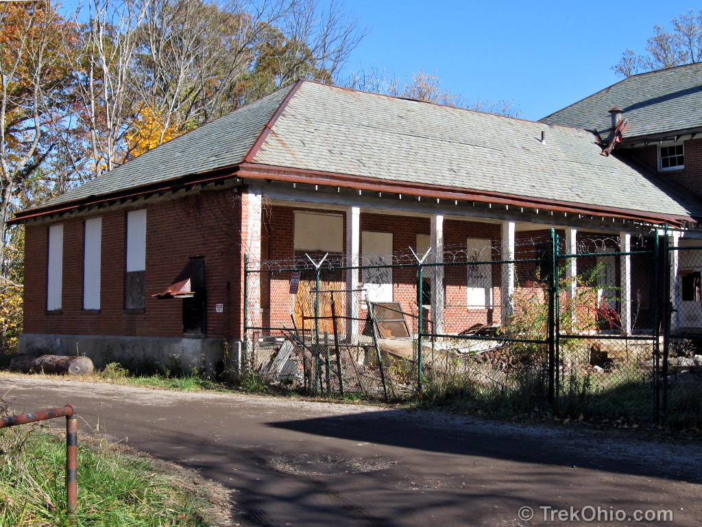
At a later date a building was constructed to house residents who had tuberculosis. In order to make the buidling fire-proof, the walls were filled with asbestos. To demolish the building would be both dangerous and very expensive, so now it sits in ruins with its entry-ways blocked off. It’s obvious from the graffiti that there are young people who are breaching the building’s barriers. However if you’ve ever known someone who has a lung illness due to exposure to asbestos (which commonly happens years after exposure), you would know that exploring this building is a really bad idea.
The grounds around the buildings were pretty. Since I was visiting this part of the Ridges in autumn, there were colorful leaves everywhere.

Hospital Cemetery
After being admitted into the hospital, many residents lived out the remainder of their days at the hospital. Once they passed away their remains were interred in cemeteries on the hospital grounds.
The photos below were of the cemetery nearest to the hospital building. In the map near the top of this article, it would be the northern-most cemetery.
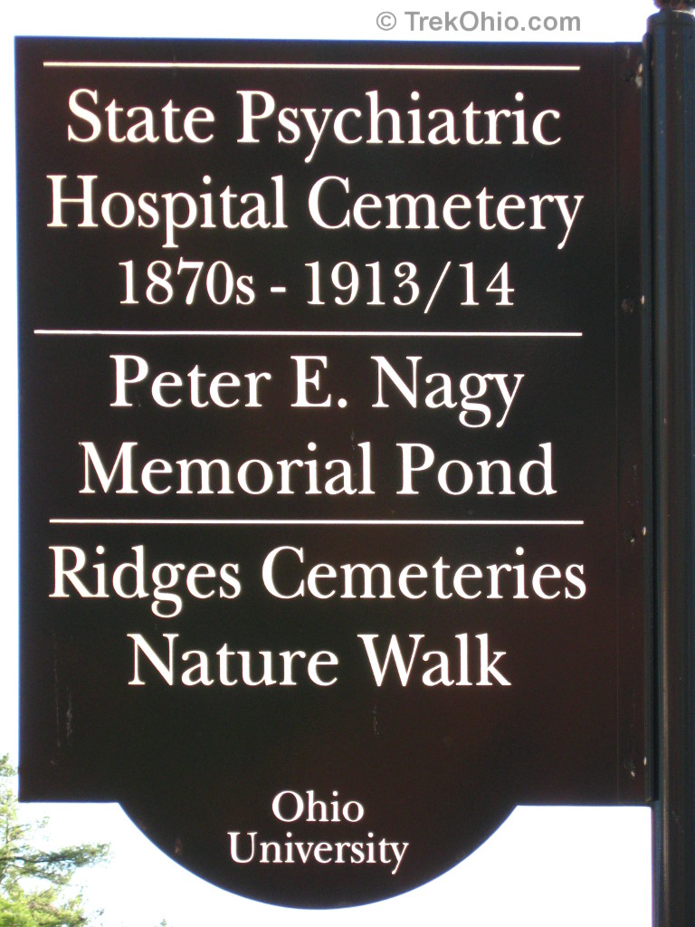
The cemeteries on the grounds had become unkempt, but back in the year 2000 the National Alliance on Mental Illness (NAMI) took over their upkeep and restored their appearance. They have made a great effort to identify the veterans who are interred in these cemeteries and to accord them the military honors that their service deserves. In addition NAMI developed the Ridges Cemetery Nature Walk.
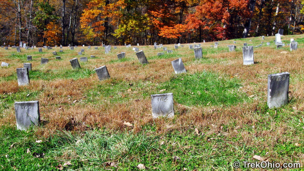
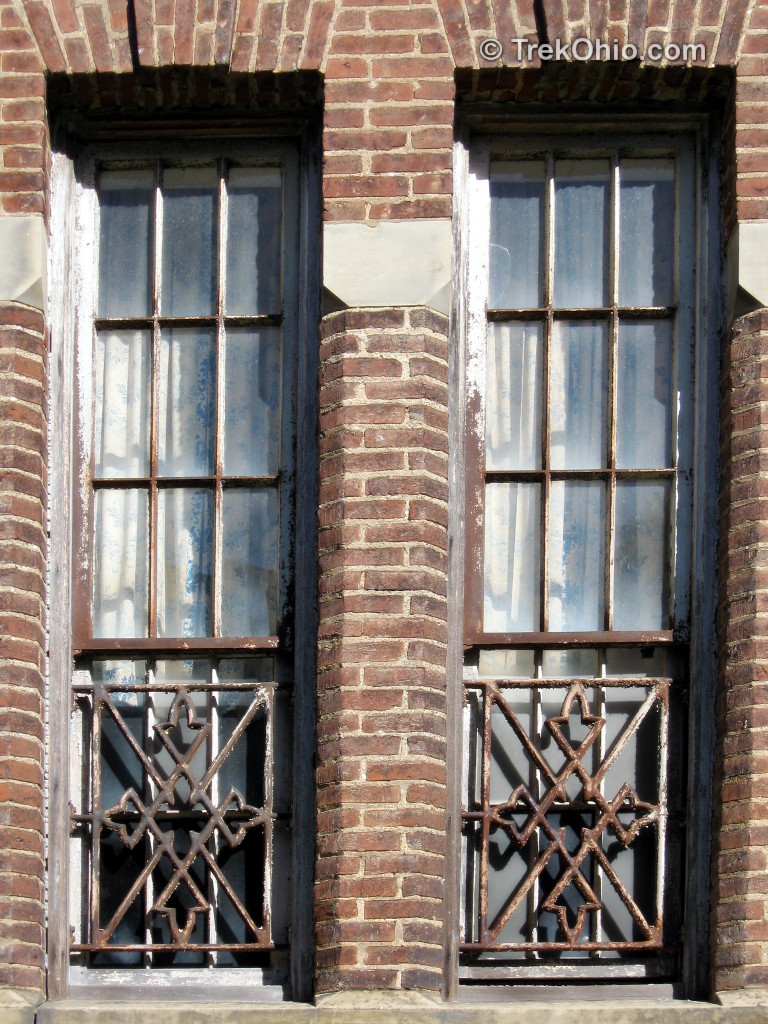
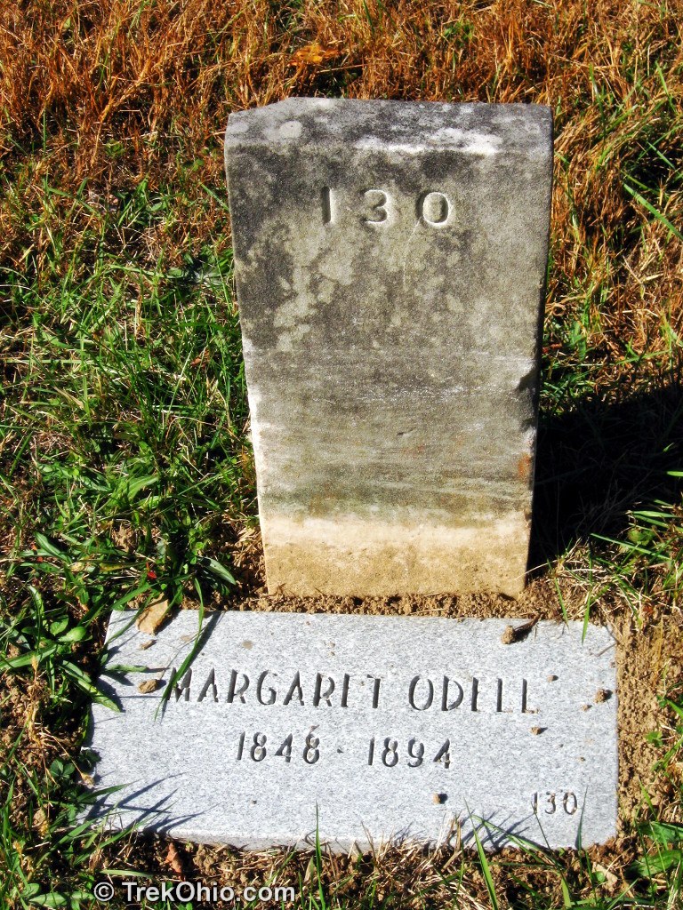
It was really surprising to see that the vast majority of the tombstones are inscribed with numbers instead of a name. However to this day the state of Ohio allows descendants of those interred here to replace the numbered stone with one of their own, or to add a marker with that person’s name, as seen below. It is believed that many of the relatives either don’t understand that this is an option, or at this point, may not even realize that they have a relative interred here.
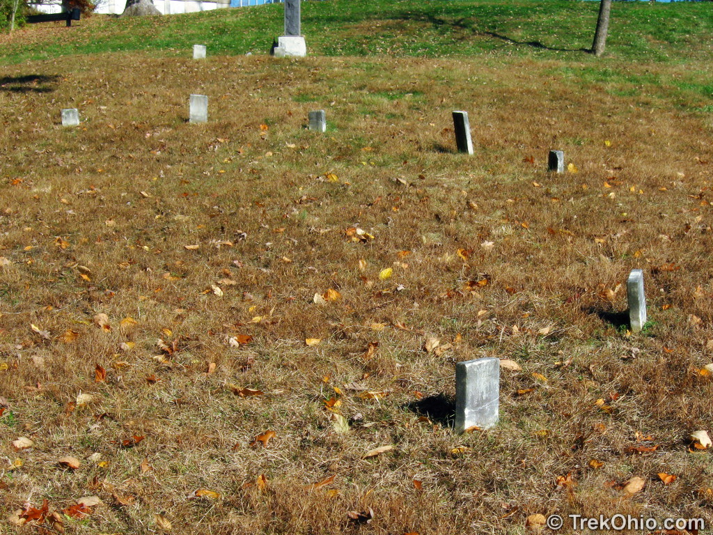
Surprisingly this small group of memorial markers is arranged in a semi-circle. Presumably there was some reason for this particular arrangement, but it would be difficult to ferret out what that reason was.
At the top of this staircase there is a sign announcing that this is the trailhead for the Ridges Cemetery Nature Walk. The end of this trail is near the lot where we parked for our hike. We haven’t done this hike yet, but we would like to some time in the future.

Additional information
- AthensOhio.com: The Ridges Trails — descriptions of the trails
- AthensOhio.com: The Ridges Trail Map (PDF)
- Ohio University: Kennedy Museum of Art
- Ohio University: Map of the Kennedy Museum of Art and surrounding grounds (PDF) — this museum is housed in the former psychiatric hospital.
- National Alliance on Mental Illness: The Ridges Cemeteries Project — the Alliance has done much work in and around the cemeteries associated with the former psychiatric hospital, including beautifying the graves and developing the nature walk trail.
- Wikipedia: Athens Lunatic Asylum
- Wikipedia: Athens State Hospital Cow Barn — also referred to as the “Dairy Barn”. This currently houses an art gallery
- Wikipedia: Ohio University — this university owns what’s now referred to as The Ridges.
- AthensNews.com: Why do we call it ‘Radar Hill’?
- OhioAlumi.org: Radar Hill
Location
From Route 50/33, exit at Route 682. At the light turn left onto Richland Avenue. Then turn right onto Dairy Lane. You’ll pass the Dairy Barn on your left. Keep going up the hill. On your right you’ll see a lane leading to a parking lot. Park here and begin your hike. Although the various trails are on Ohio University property, they are open to the public.
I have also heard that it is possible to park near the water tower (identified in the map near the top of the article). From the water tower to Radar Hill is supposed to be about a mile’s walk.
More on Athens County
 Burr Oak State Park
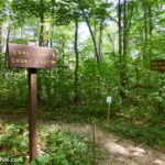 Wayne National Forest (Athens Unit): Wildcat Hollow
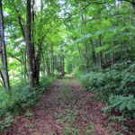 Gifford State Forest
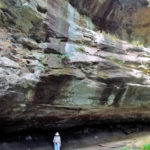 Strouds Run State Park: Rockhouse Trail
Hey there! The Tuberculosis Ward has since been demolished (I think it was demolished in 2012). There are currently very young plans to get a small observatory built where the TB Ward used to stand.
Kyle, thanks for updating me on the status of the Tuberculosis Ward. I’m relieved to hear that its gone. I’ve posted an update to the article.