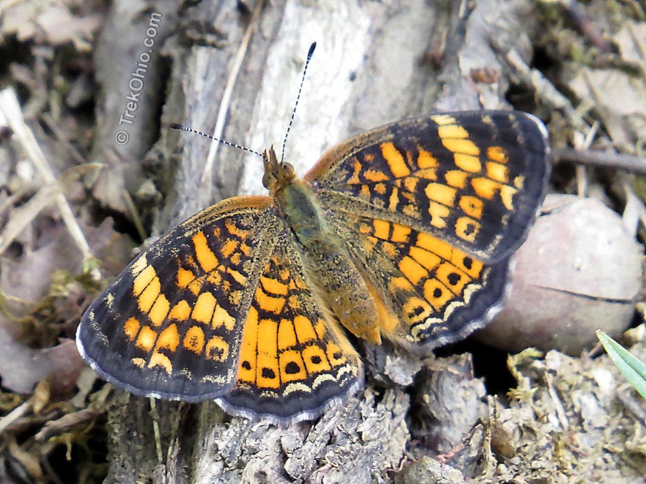
Chaparral Prairie is a 67-acres state nature preserve with a three-quarter mile loop trail. Located in Adams County, it preserves a rare prairie habitat. Prairies are defined by the type of vegetation that grows in them. In general these plants are drought-tolerant, fire-tolerant and shade-intolerant. They originated in America’s Great Plains and moved eastward thousands of years ago during a centuries-long drought when this area was warmer than now. However as the climate cooled and normal rain levels returned, the prairie vegetation started to be replaced with moisture-loving vegetation that is more typical of eastern North America. In fact many ecologists believe that Ohio’s prairies would have disappeared but for the intervention of Native Americans. American Indians preserved these prairies by setting them on fire at regular intervals. These fires prevented shrubs and saplings from moving into the openings. However after the Native Americans were displaced, the settlers having European roots did not continue the land practices of the Native Americans, and the disappearance of the prairies accelerated.

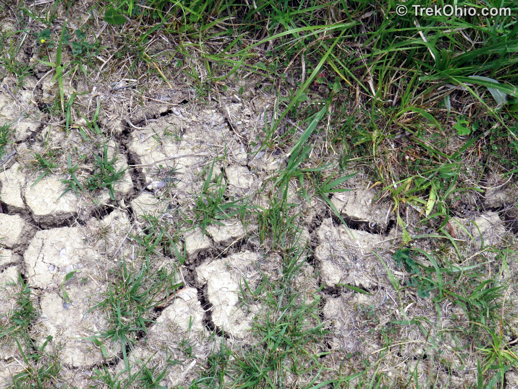
There are a number of different types of prairie based on the level of moisture available to the plants. The one that became Chaparral Prairie is a xeric prairie (prounounced “ZERR-ic”) which basically means that it is a dry prairie. Prairies can either be dry because they are located in a region where there isn’t much rain, or because the soil isn’t able to retain moisture well. In the case of Chaparral prairie, a lot of the soil eroded away while farmers tried making the land agriculturally productive in the 1800s. The remaining soil has poor water-retention capabilities.
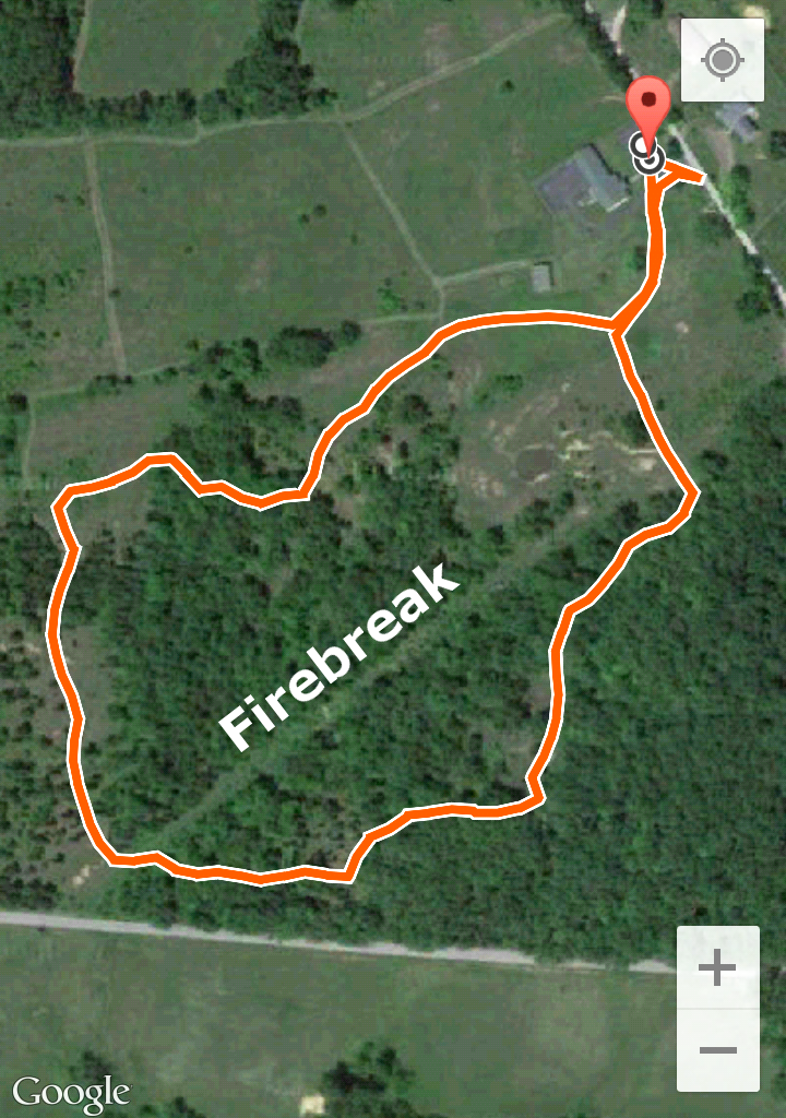
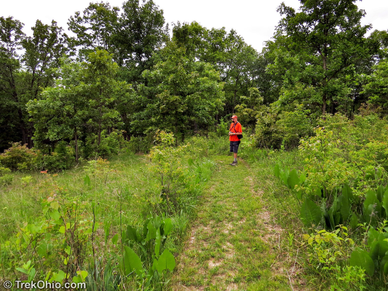
As you can see from a GPS trace of our hike below, the trail primarily consists of a loop, and it passes through both open areas and stands of trees. In order to prevent trees from completely taking over the area, the naturalists of the Ohio Department of Natural Resources have resumed the prairie-burning ways of the Native Americans. To make sure it is a controlled burn, the park service makes use of a fire break.
Below you can see burn marks on the tree to the far right. Without periodic fires this prairie would disappear.
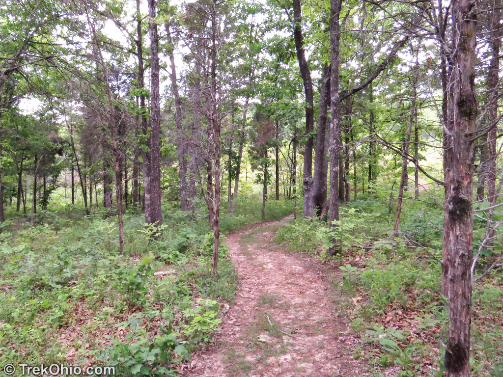
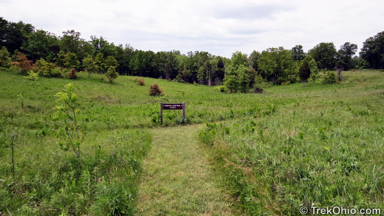
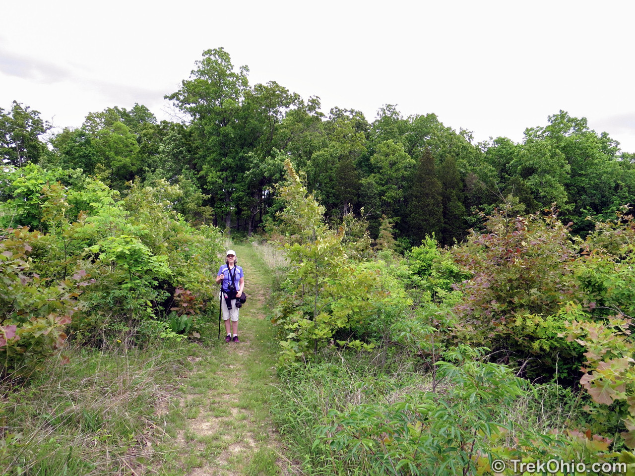
The trail, especially through the open areas, was wide and well-tended. Below you can see the mown path leading to the loop.
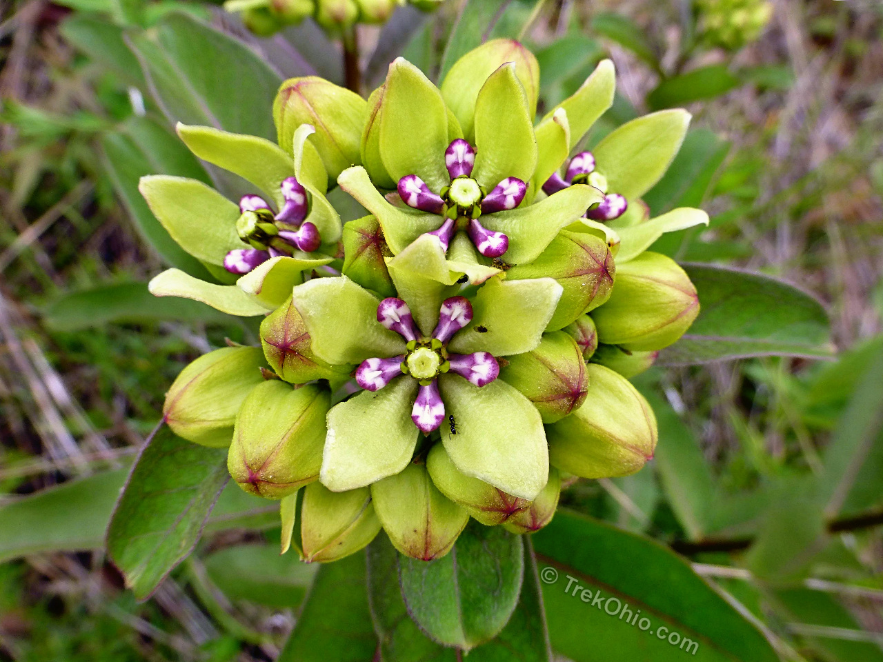
Since prairies are special because of their vegetation, let’s take a look at some of the vegetation visible in late May. One of the first novel plants that I noticed was the milkweed shown below.
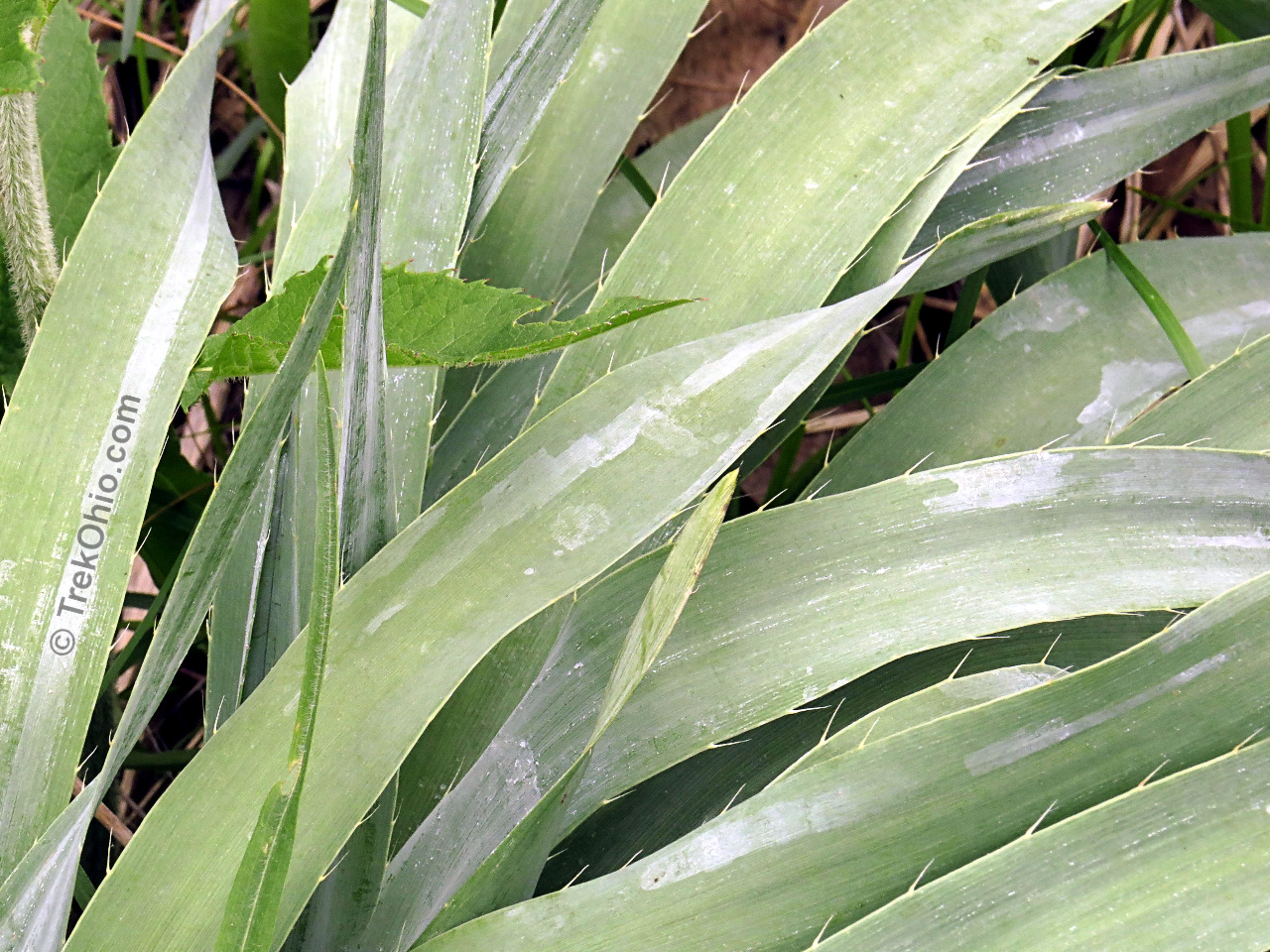
The plant below is called Rattlesnake Master because the seed pods were used as rattles by Native Americans; perhaps the rattle sounds like a rattlesnake shaking its tail? People also used to believe it could be used to treat snakebite victims, but we now know that’s not so.

Here’s a closer look at the edges of the leaves.
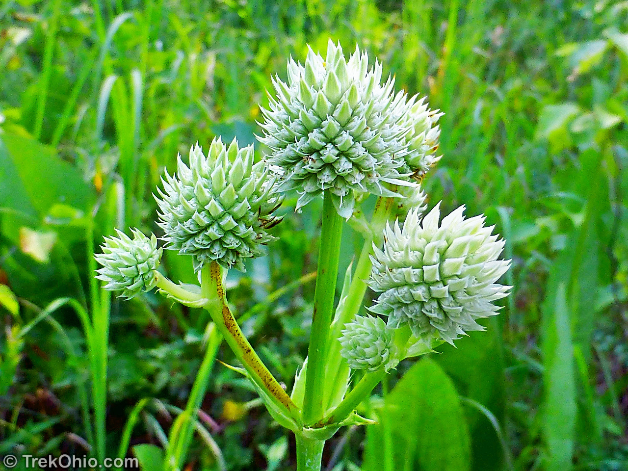
Rattlesnake master wasn’t blooming during our May visit, but when we returned in July we were able to view the flower.
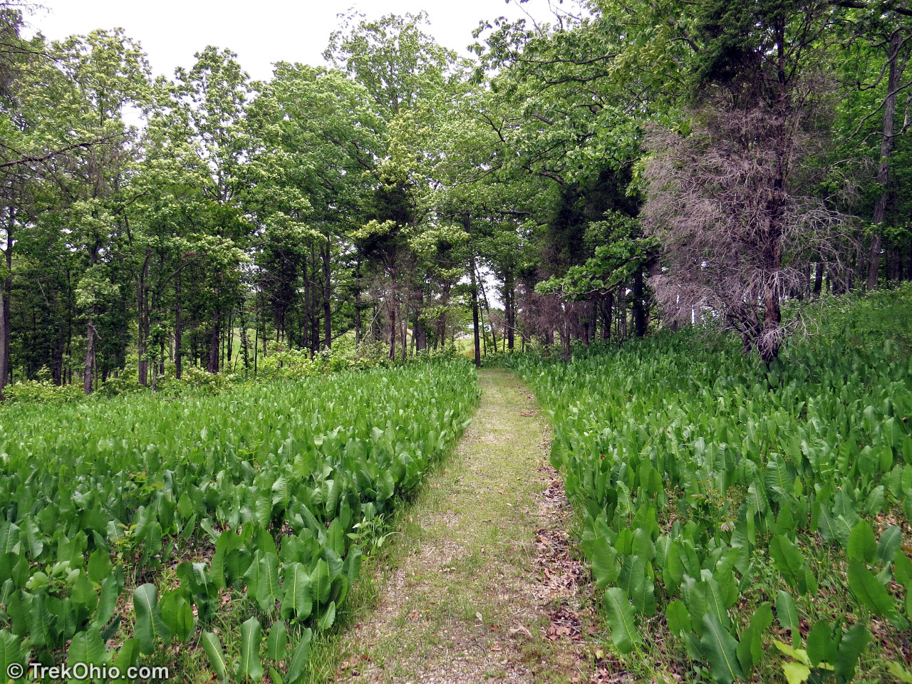
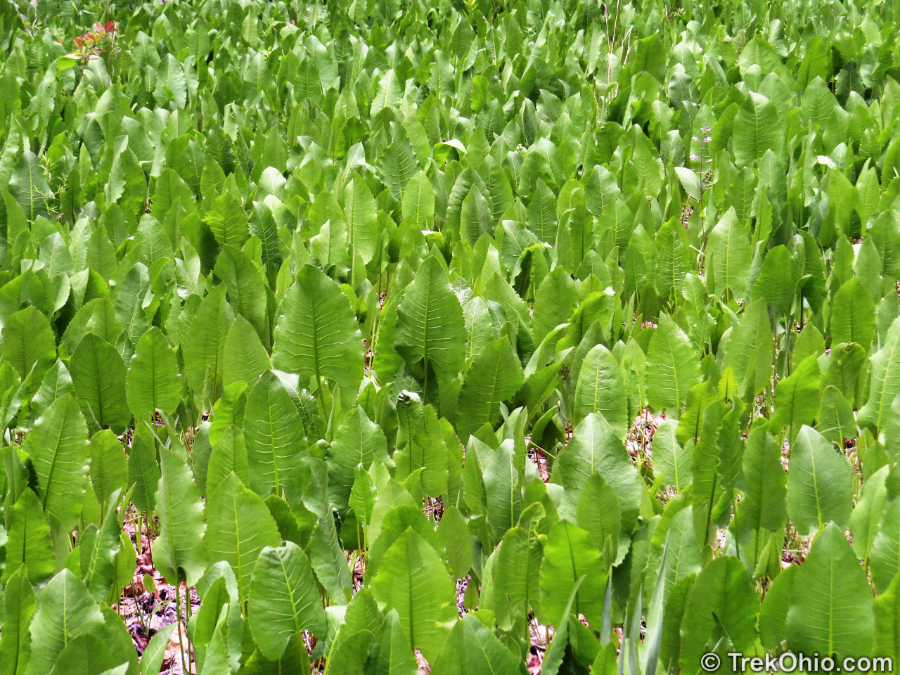
One of the most noticeable plants that we saw while hiking in Chaparral Prairie was prairie dock. It formed a thick ground cover in certain regions of the opening. The trail below passes through a stretch of prairie dock.
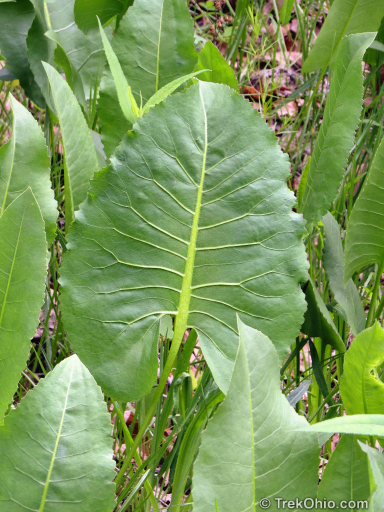
The leaves of prairie dock are really large.
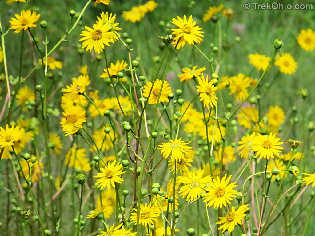
Since most plants in prairies bloom during the summer, we were there too early to see it in bloom. However we have photographed Prairie Dock in bloom at Gallagher Fen, so I will include a photo of its blossoms just to give you an idea of what it will look like this summer.
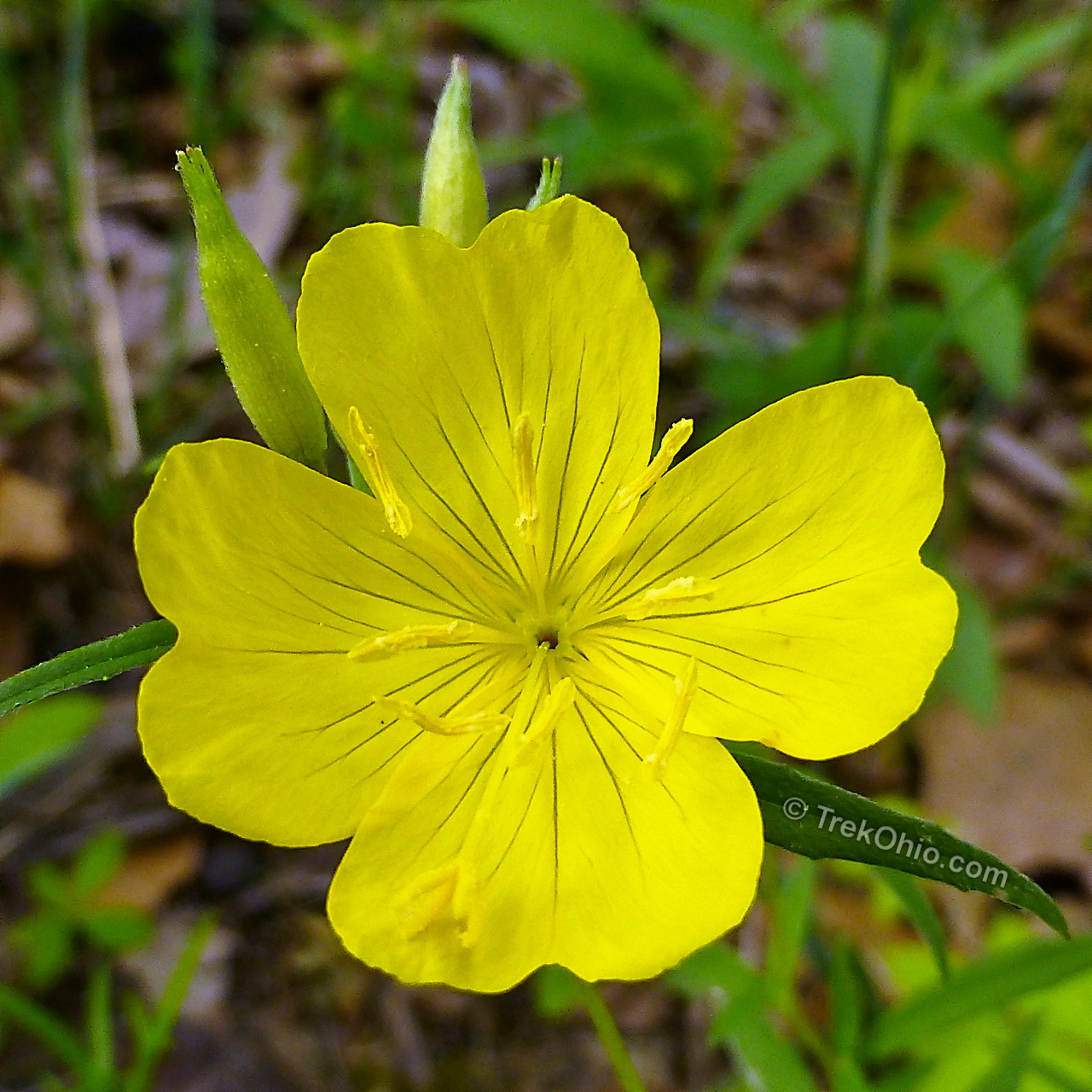
Were you to visit in summer, you’d see many more plants in bloom. But one other that we saw while visiting in the spring was evening primrose.
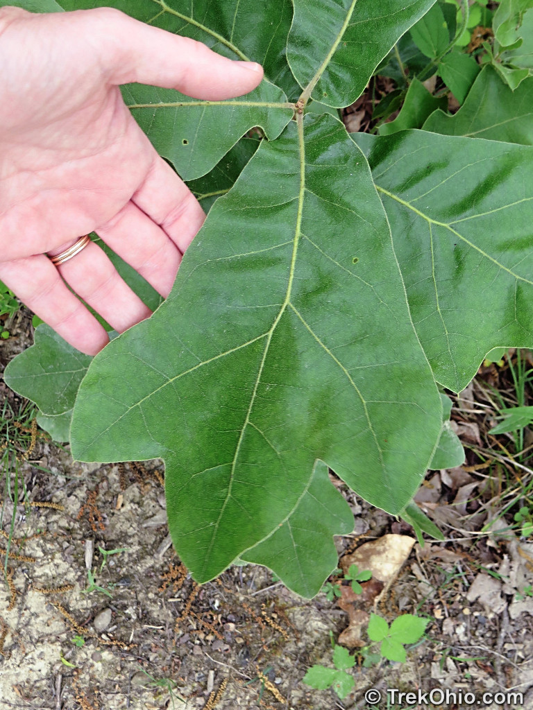
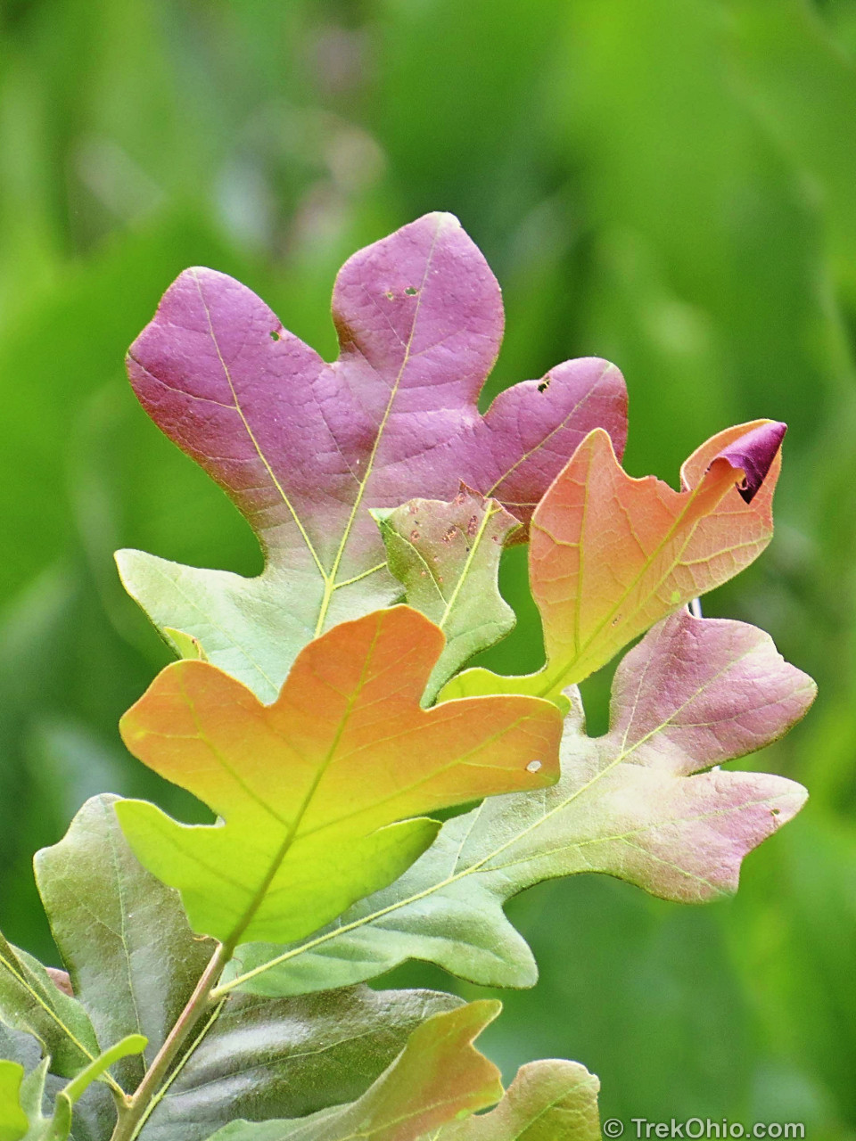
We also noted a couple of species of oak that seem to be characteristic of the area: blackjack oak and post oak. Both species are moderately fire resistant. Blackjack oak grows slowly, but can tolerate relatively infertile soil. Post oak is drought-resistant.
Additional information
- TrekOhio: Adams County Parks & Nature Preserves — This is the county where Chaparral Prairie State Nature Preserve is located; this page posts links to the official sites for this and nearby parks and preserves.
- Ohio Prairie Association
- Buckeye Botanist: Ode to Ohio’s Prairies: Bluegrass Region
- Buckeye Botanist: Adams County’s Prairies Revisited — among other things, discusses rattlesnake master
- Wikipedia: Great Plains
- Ohio Public Library Information Network: What Tree Is It?
- The Pristine Myth: The Landscape of the Americas in 1492 — Discusses how the Native Americans used fire to alter the landscape to their liking
- Information on specific plants and trees:
- Wikipedia: Asclepias viridis — Spider milkweed
- Wikipedia: Eryngium yuccifolium — Rattlesnake master
- Wikipedia: Quercus marilandica — Blackjack oak tree
- U.S. Forest Service: Quercus marilandica — Blackjack oak tree
- U.S. Forest Service: Quercus stellata — Post oak tree
Location
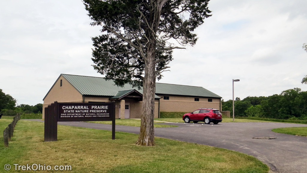
Chaparral Prairie State Nature Preserve is located at 209 Hawk Hill Rd., W Union, Ohio 45693. It’s GPS coordinates are N38.840367, W83.573783. By clicking “View larger map” on the embedded map below, you can request directions to the preserve via Google maps.
The entrance is clearly marked and features a large, paved parking lot.
More on Adams County
 Serpent Mound
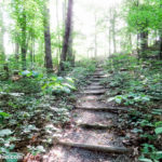 Edge of Appalachia: Charles A. Eulett Wilderness Preserve Trail
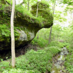 Chalet Nivale Preserve
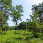 Edge of Appalachia: Lynx Prairie Trail