The Edge of Appalachia is a 16,000 acre preserve system in Adams County that’s jointly run by the Cincinnati Museum Center and the Nature Conservancy. There are four trails in the preserve that are open the public. The Portman Trail is a great starting pointing for exploring this majestic landscape.
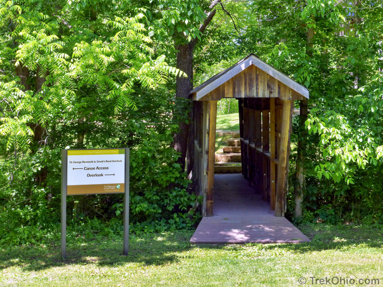
Many visitors to the Edge of Appalachia preserve mistakenly believe that the Eulett Center is a visitor center. However, the Eulett Center is an office complex for researchers and educators. Instead visitors should begin their exploration of the preserve at the George Rieveschl Jr. Creek’s Bend Overlook. If you go around to the rear of the large building at the Overlook, you’ll see that a number of posters have been mounted on the wall under the porch. These posters contain information that will enhance your visit to the preserve, including the preserve’s history and mission, maps of all the trails, and information on the natural history and geology of the area, including a list that provides a sample of plant and animal species that live within the preserve. There is also a list of rules for preserve visitors. In particular, I noted that, with the exception of service dogs, pets are prohibited within the preserve.
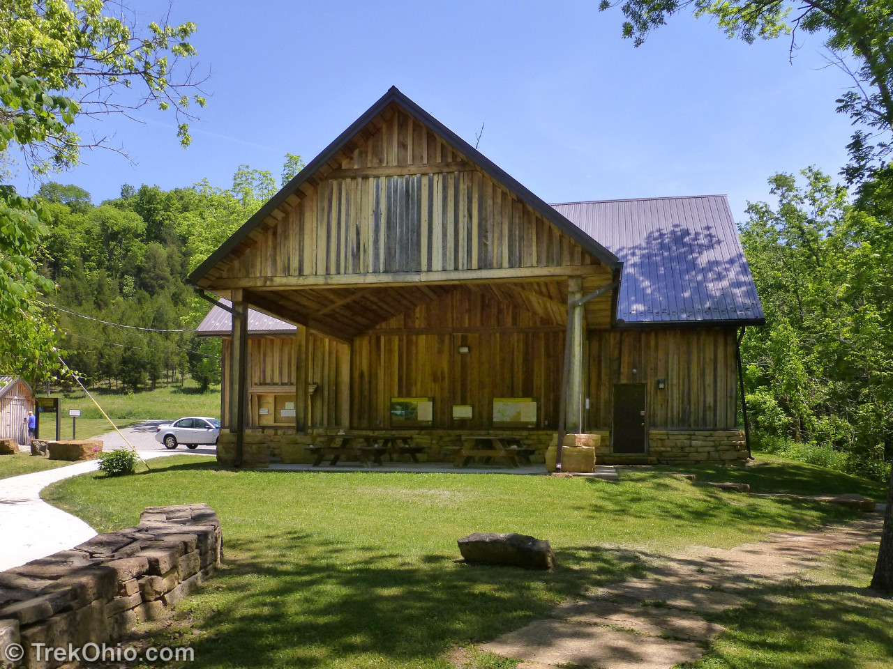
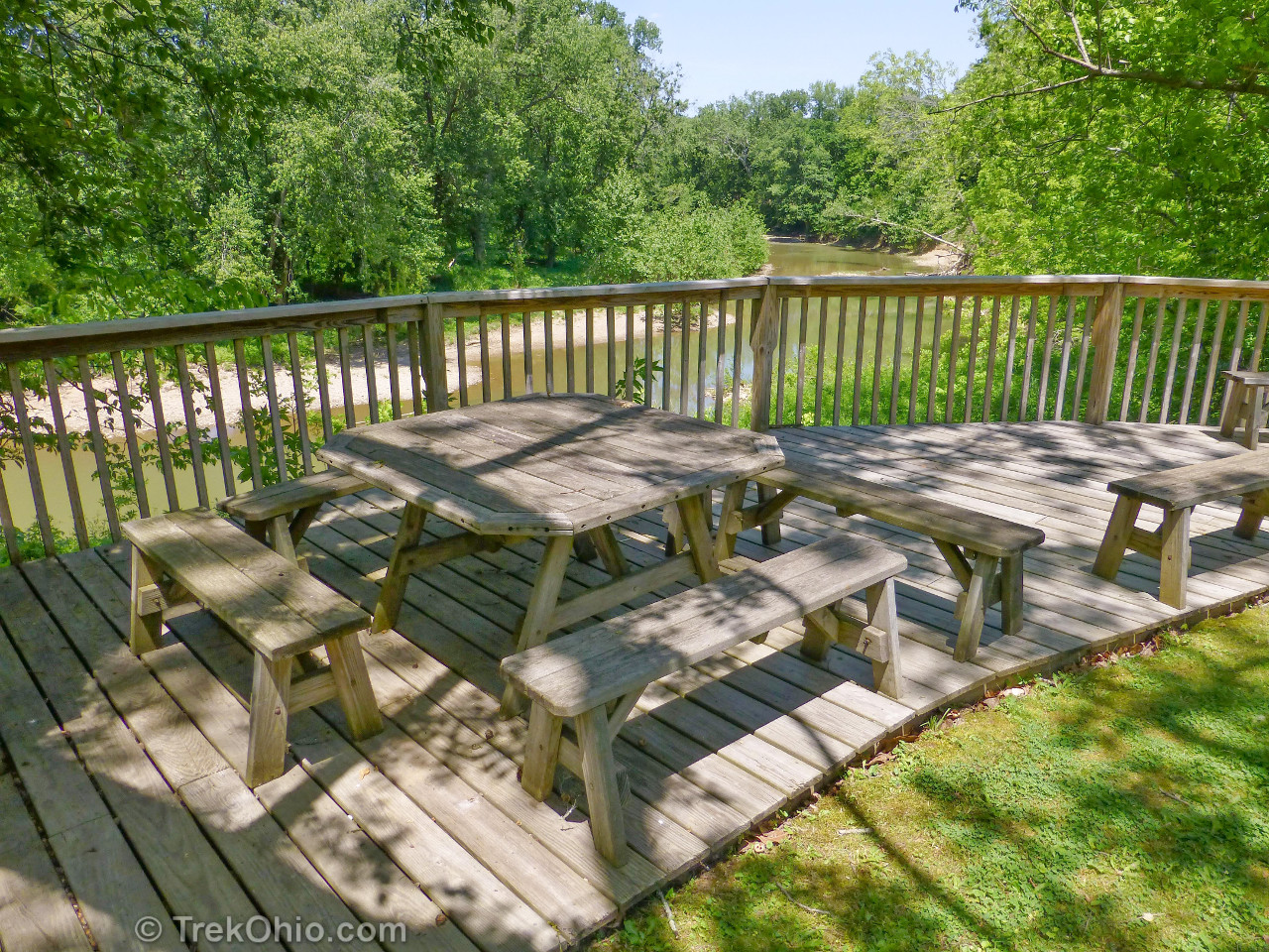
The back porch of the building also houses a number of picnic tables. Just beyond this large building there is a delightful deck with more picnic tables that overlooks Ohio Brush Creek. During one day of our visit to the preserve, we had lunch on the overlook deck. To the south of the large building you’ll find a port-a-potty and a small prairie garden.

Parking for the George Rieveschl Jr. Creek’s Bend Overlook is located on the east side of Waggoner Riffle Road about 1.5 miles south of the Eulett Center. There is also parking to the west side of Waggoner Riffle Road that’s near the trailhead for the Portman Trail which is marked by a sign.

There’s a couple of lines in the (original) movie Ghostbusters:
Ray: Where do those stairs go?
Venkman: They go up!
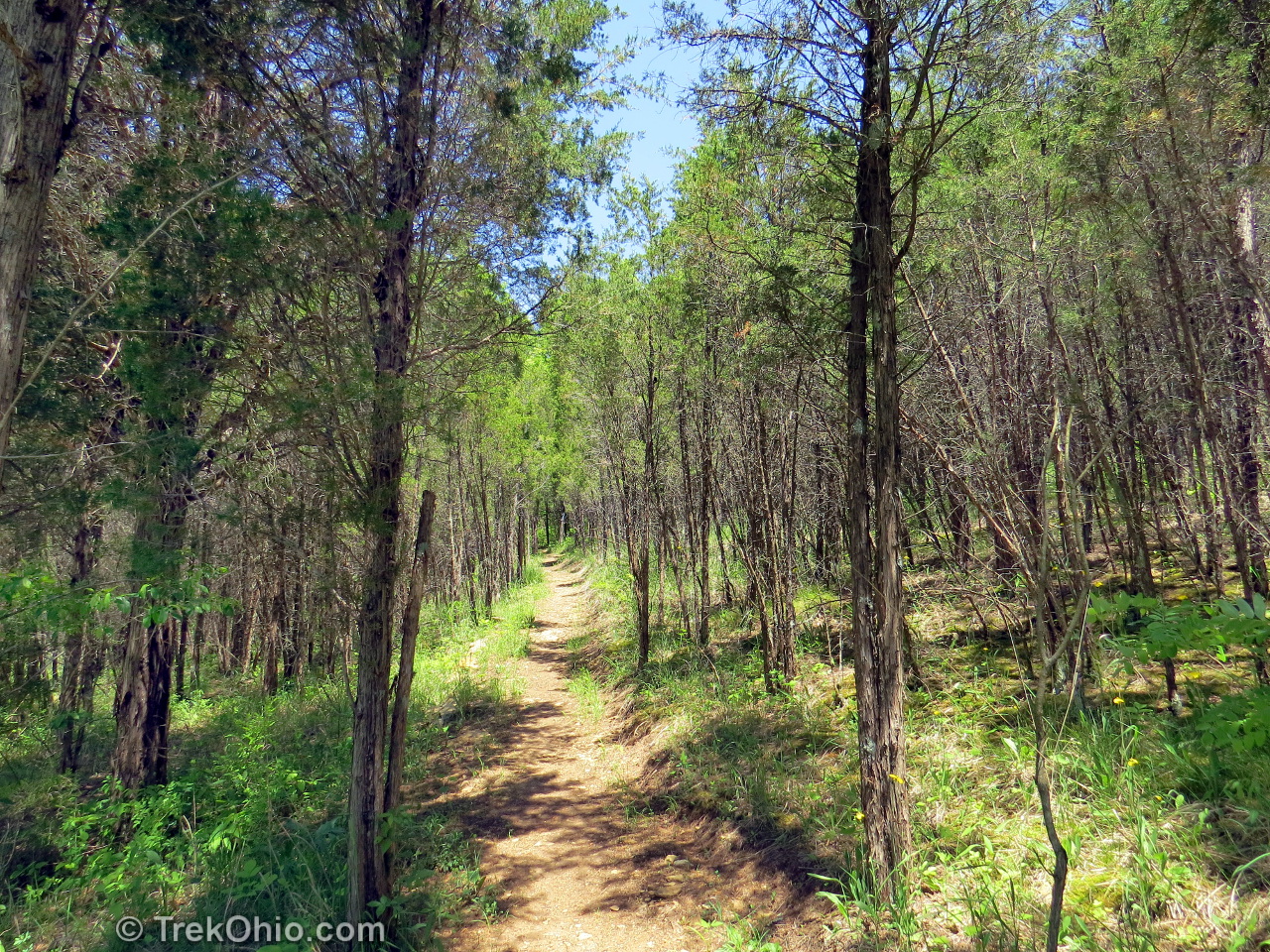
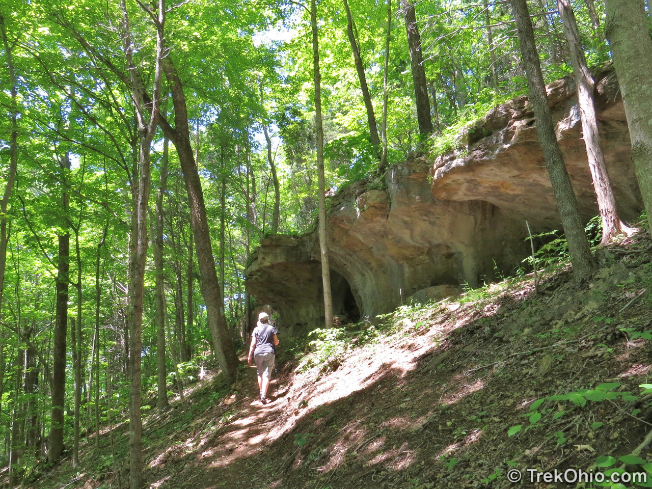
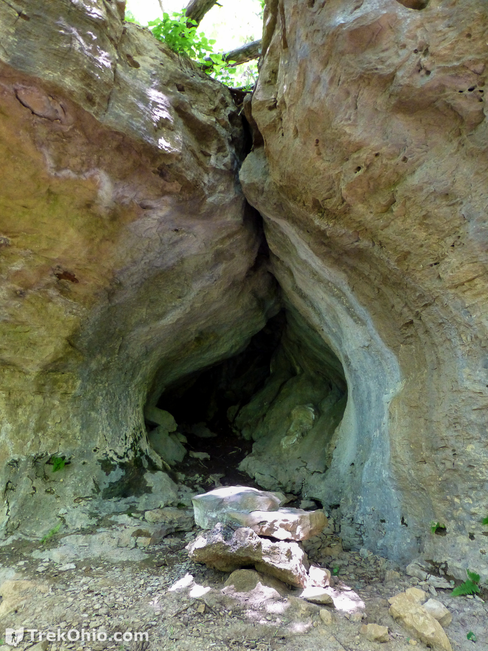
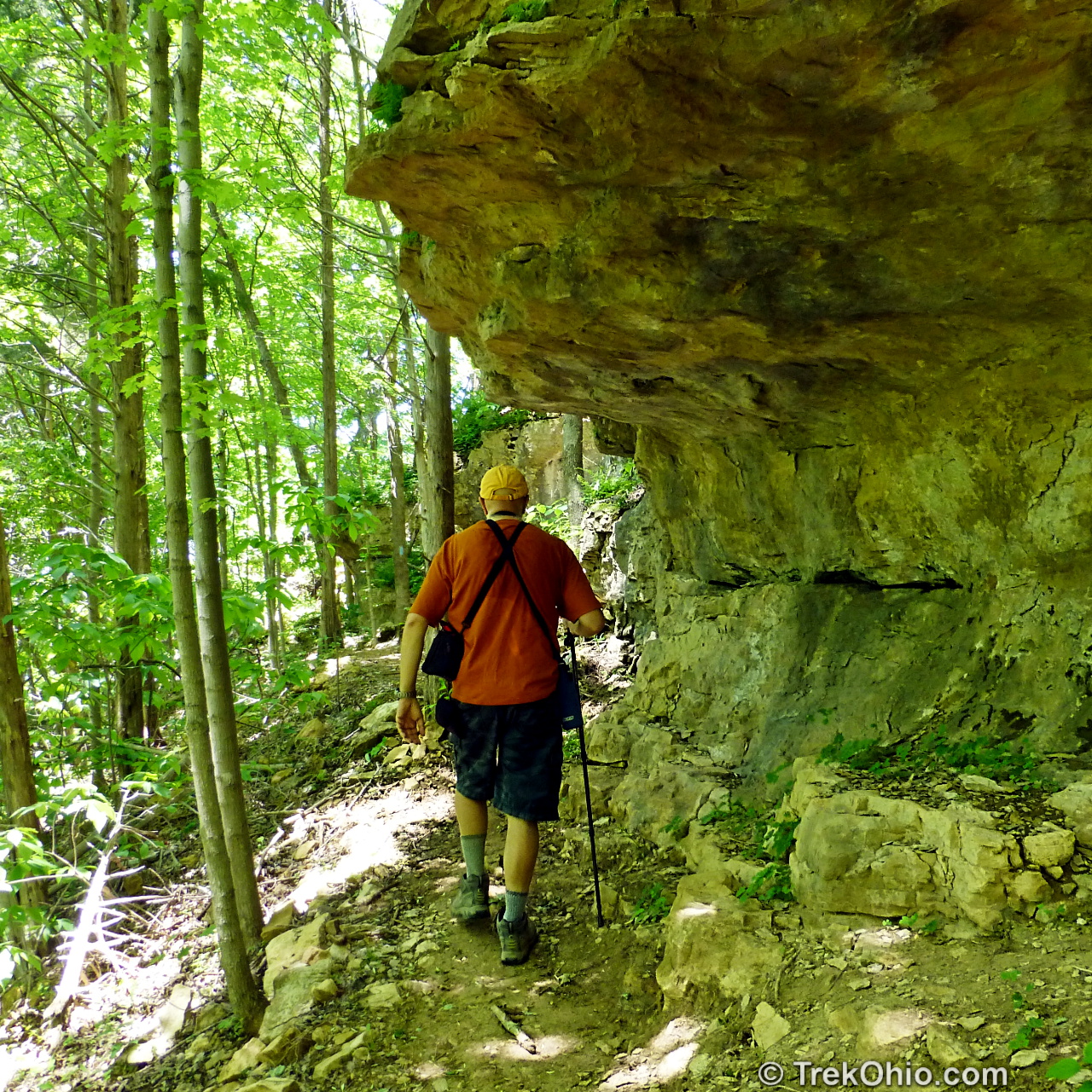
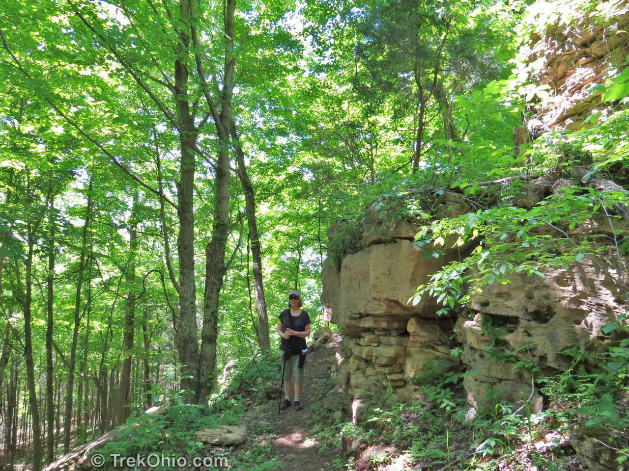
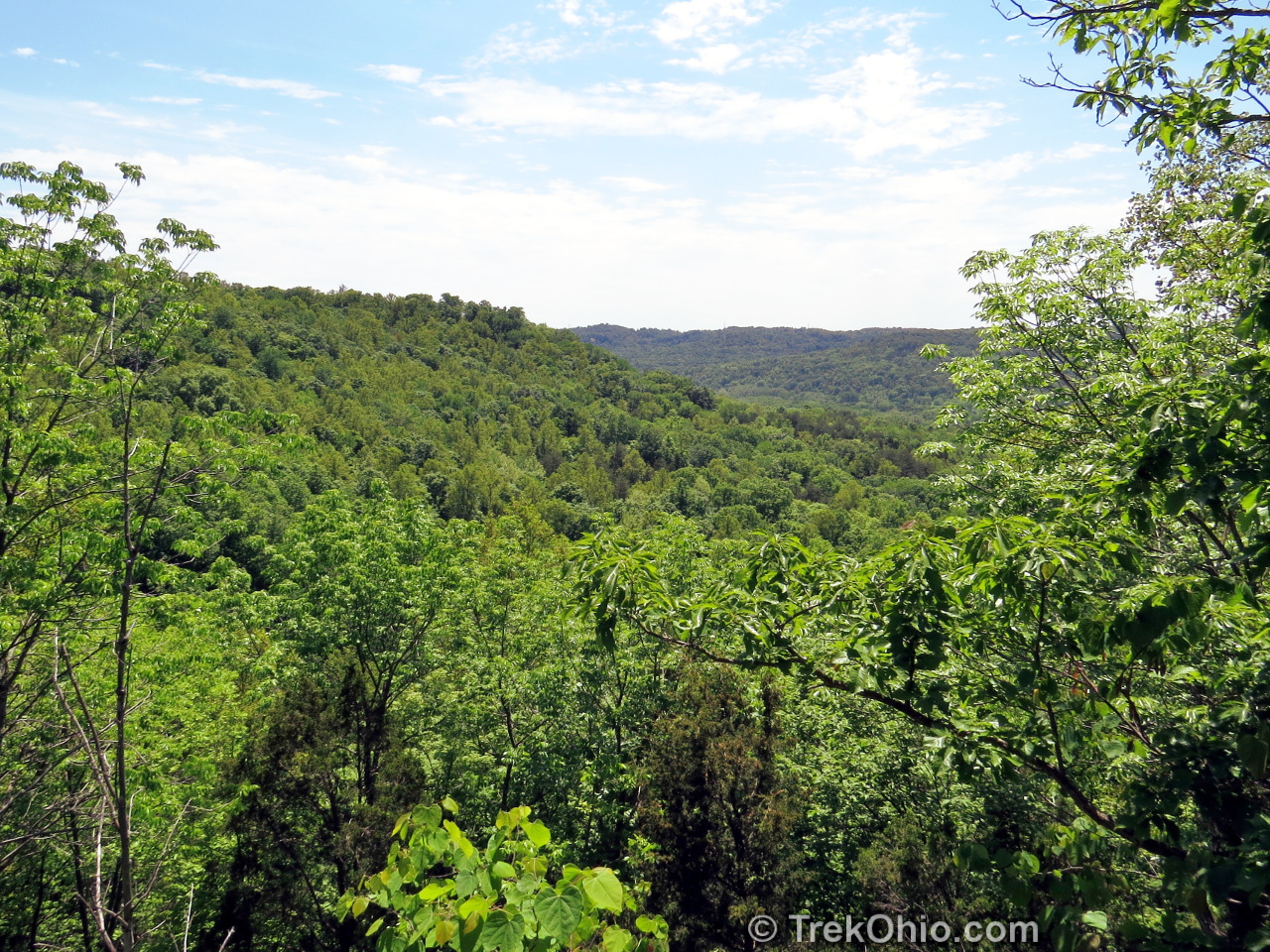
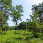
Where does the Portman Trail go? It goes up! The trail is 1.6 miles long (round-trip) and starts near Ohio Brush Creek and ascends over 300 feet to the top of a ridge.
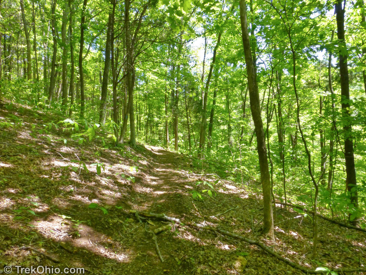
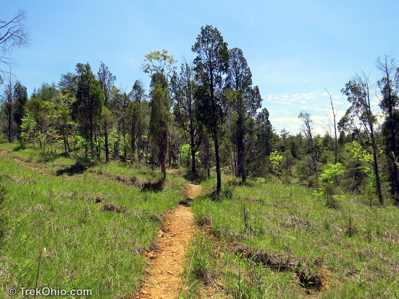
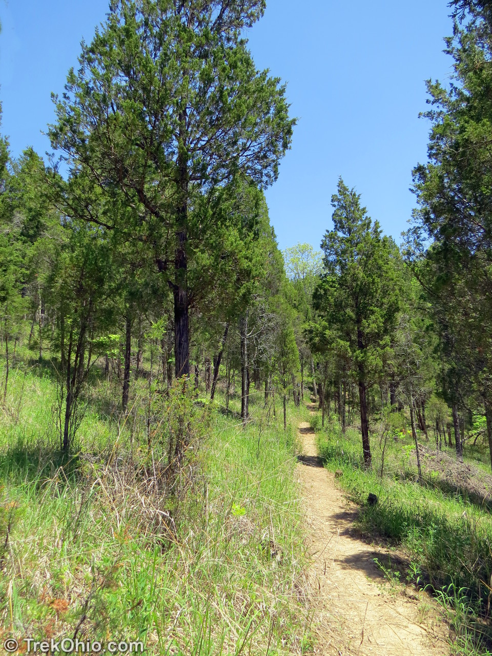
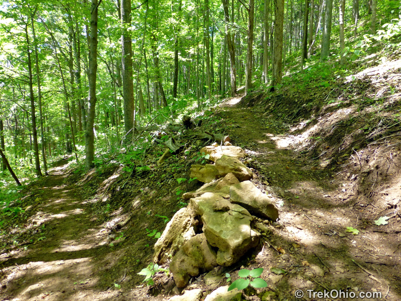
Along the way you’ll pass through varied forest and past interesting rock outcroppings. At the top is Flood’s Point Overlook where you’ll see a view of the Brush Creek Valley.
Flood’s Point is the end of Portman Trail. Beyond this the blue-blazed Buckeye Trail / North Country Trail continues. After taking in the view from the promontory we retraced our path to the parking area.

There are plans to extend the Buckeye Trail / North Country trail for 14 miles so that it will eventually connect to Shawnee State Forest.
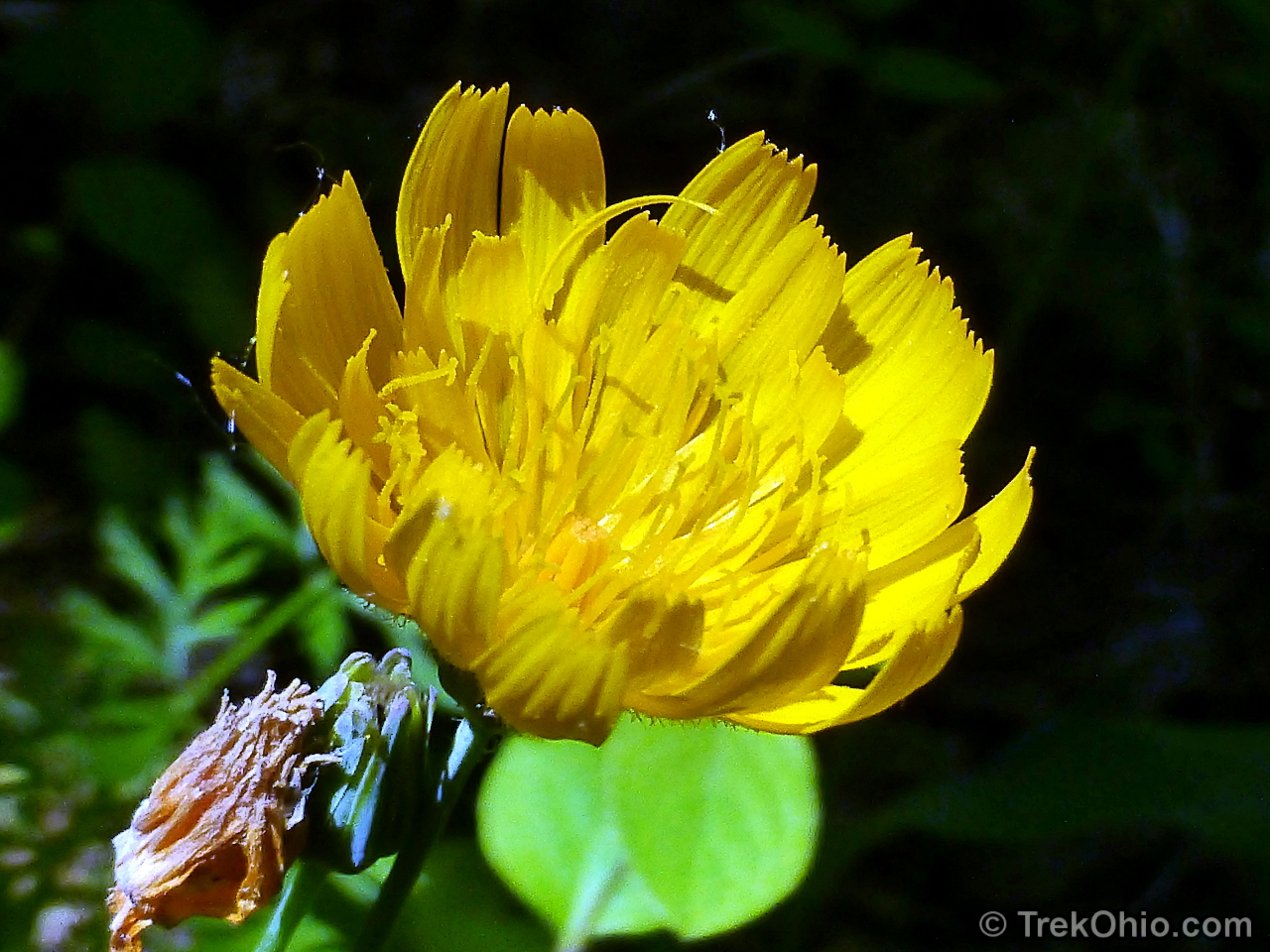
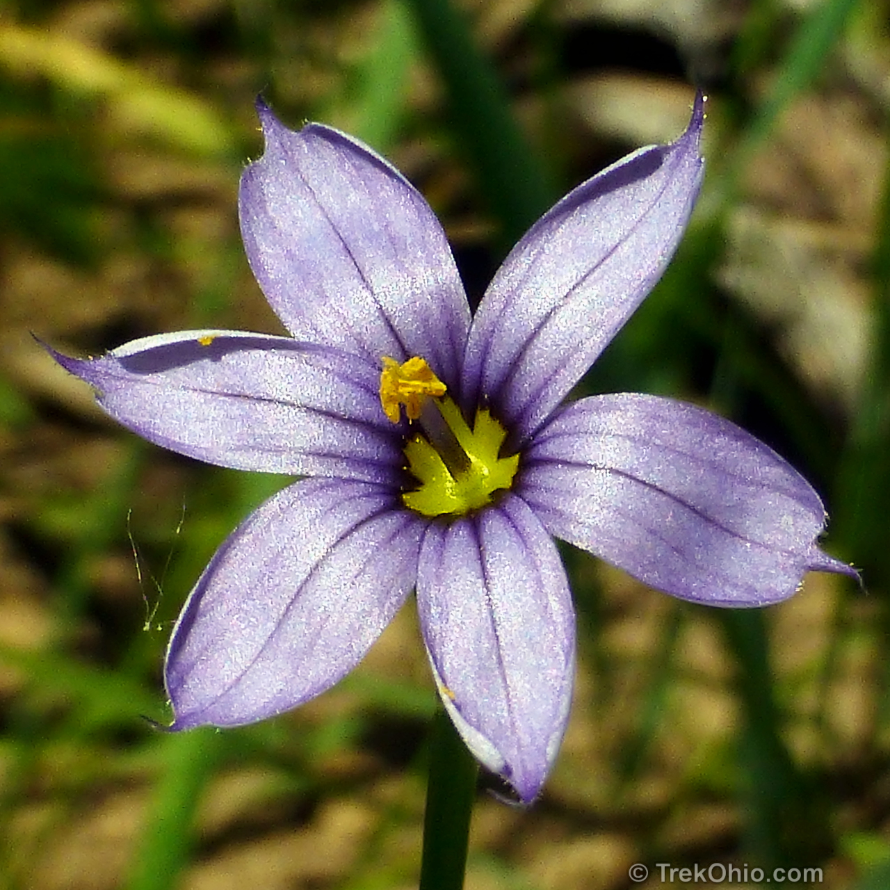
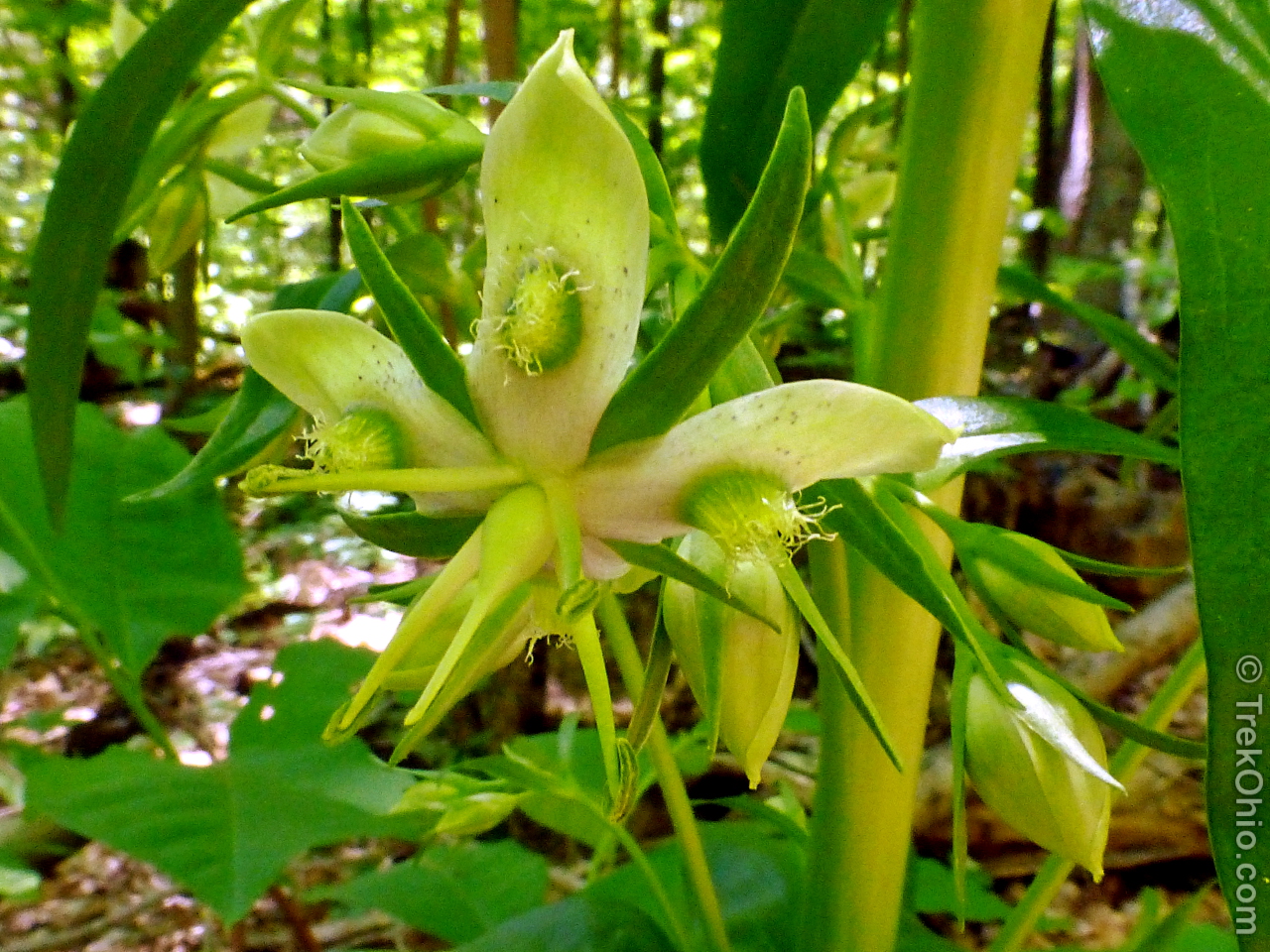
Below are a few of the flowers that we noted along the trail during out hike in late May.
We encountered an American Columbo in bloom. This plants puts forth a very tall panicle; a flowering stalk that can reach up to 7 feet high that may contain up to 100 flowers.
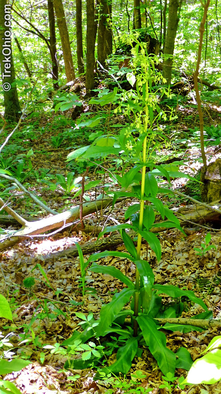
In order to store up enough energy for this huge display of flowers, the plant may live up to 30 years in its non-flowering form. Each summer the leaves photosynthesize and store energy in the plant’s fleshy taproot until it has stored up enough energy to flower.

Additional information
- TrekOhio: Adams County Parks & Preserves — This is the county where the Edge of Appalachia preserve is located; check out this page for links to the official site and for information on nearby parks and preserves.
- Edge of Appalachia: Web Site
- Edge of Appalachia: Map showing trailhead locations
- Edge of Appalachia: Portman Trail Map
- Wikipedia: Frasera caroliniensis — This is the scientific name for American Columbo.
Location
- Address (approximate): Waggoner Riffle Rd, West Union, Ojio 45693
- GPS Coordinates: 38.748359, -83.463988
- Google Maps: View on map or get directions
Below is a GPS trace of our hike, alternatively you can examine it on Google Maps.
More on the Edge of Appalachia
 Edge of Appalachia: Lynx Prairie Trail
 John and Marion Becker Cedar Falls Preserve
 Edge of Appalachia: Buzzardroost Rock Trail
 Edge of Appalachia: Charles A. Eulett Wilderness Preserve Trail
The JJP is a lovely little trail. I’m looking forward to the completion of the re-route of the BT to take advantage of that area.
Such a beautiful place! Love the close-up of the Sisyrinchium 🙂