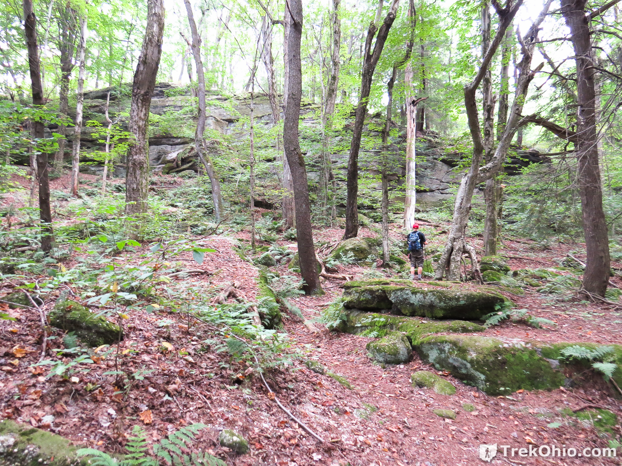
Thompson Ledges is a small park managed by the Thompson Township Park Commission; the township is located in Geauga County in northeast Ohio. To get to the geological formation that makes up the ledges, we entered the driveway of the Thompson Township Park Commission. The driveway ends in a parking area; there are restroom facilities and a trailhead nearby. We weren’t sure where the ledges were, so we just headed down the nearest woodland trail which soon lead us to the ledges. Our entire hike was just over a mile. Nonetheless, the cliffs and huge slump blocks that we viewed made this a very rewarding hike.
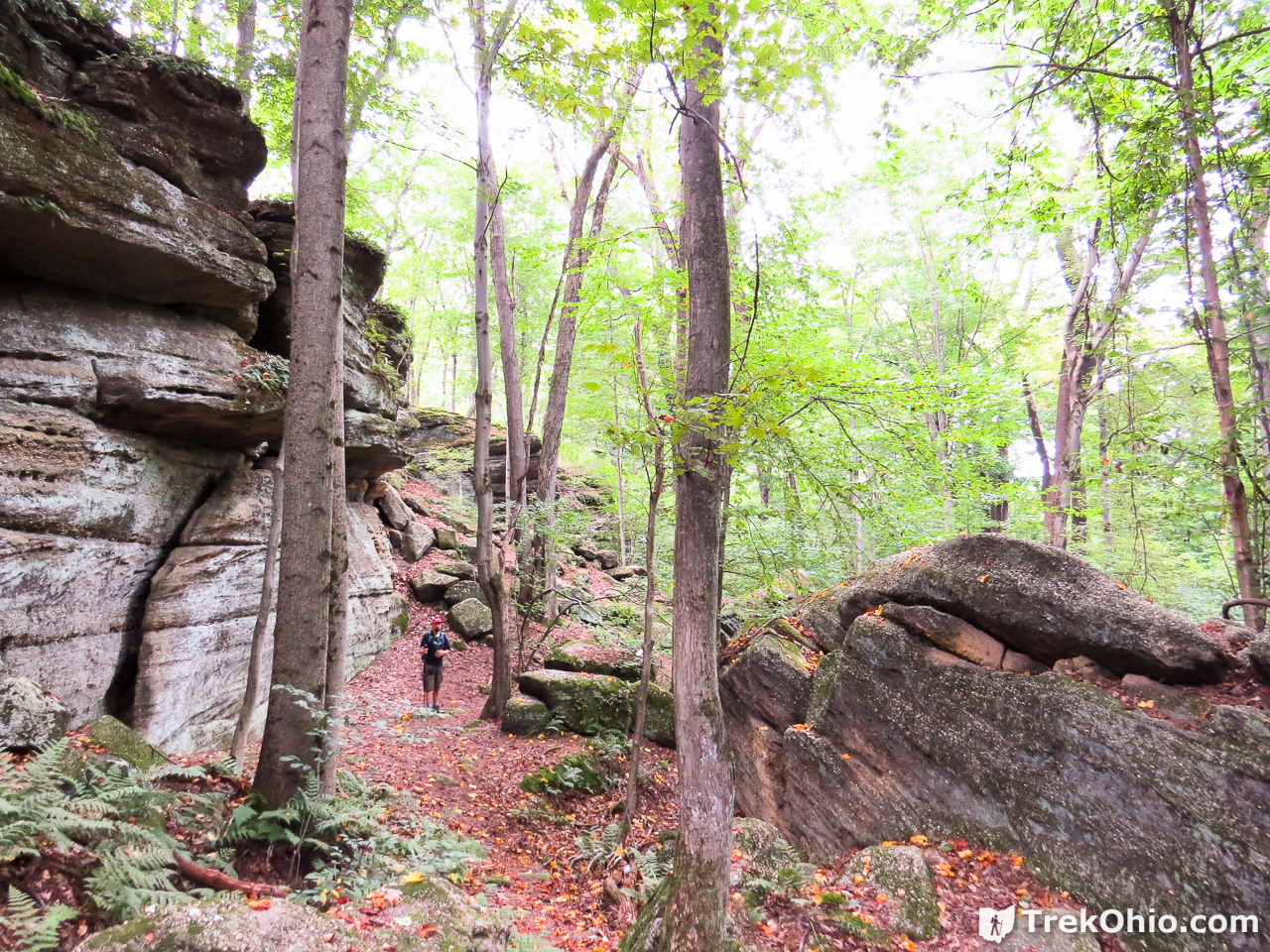
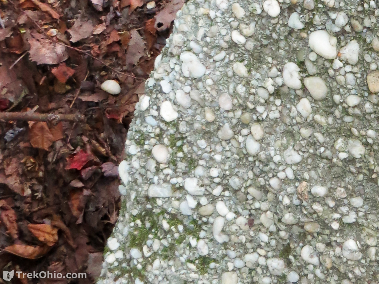
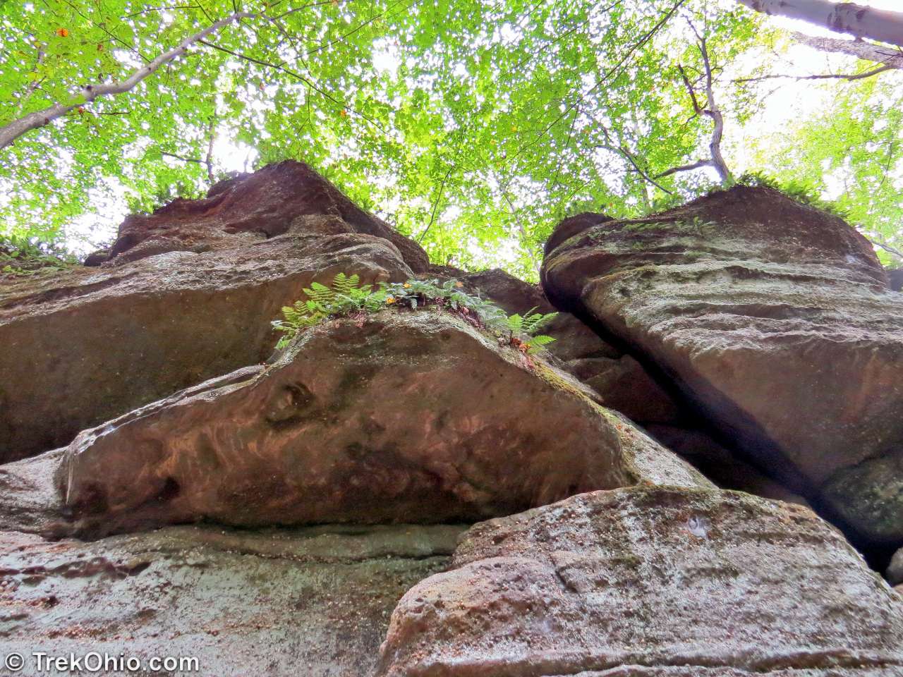
The ledges consist of a type of sedimentary rock known as Sharon conglomerate. The rock is a sandstone with embedded quartz pebbles. It was formed at the bottom of a very wide, yet very shallow river some 310 million years ago. In this respect it would resemble the Platte River of today.
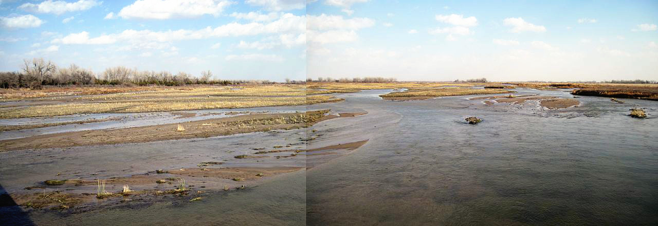
Panorama of the main stem of the Platte River near Ft. Kearny Historical Site, Central Nebraska.
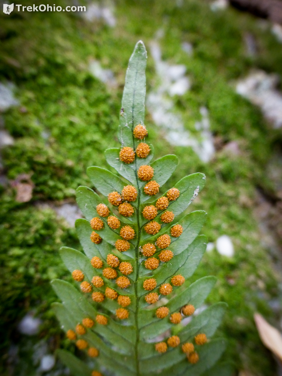
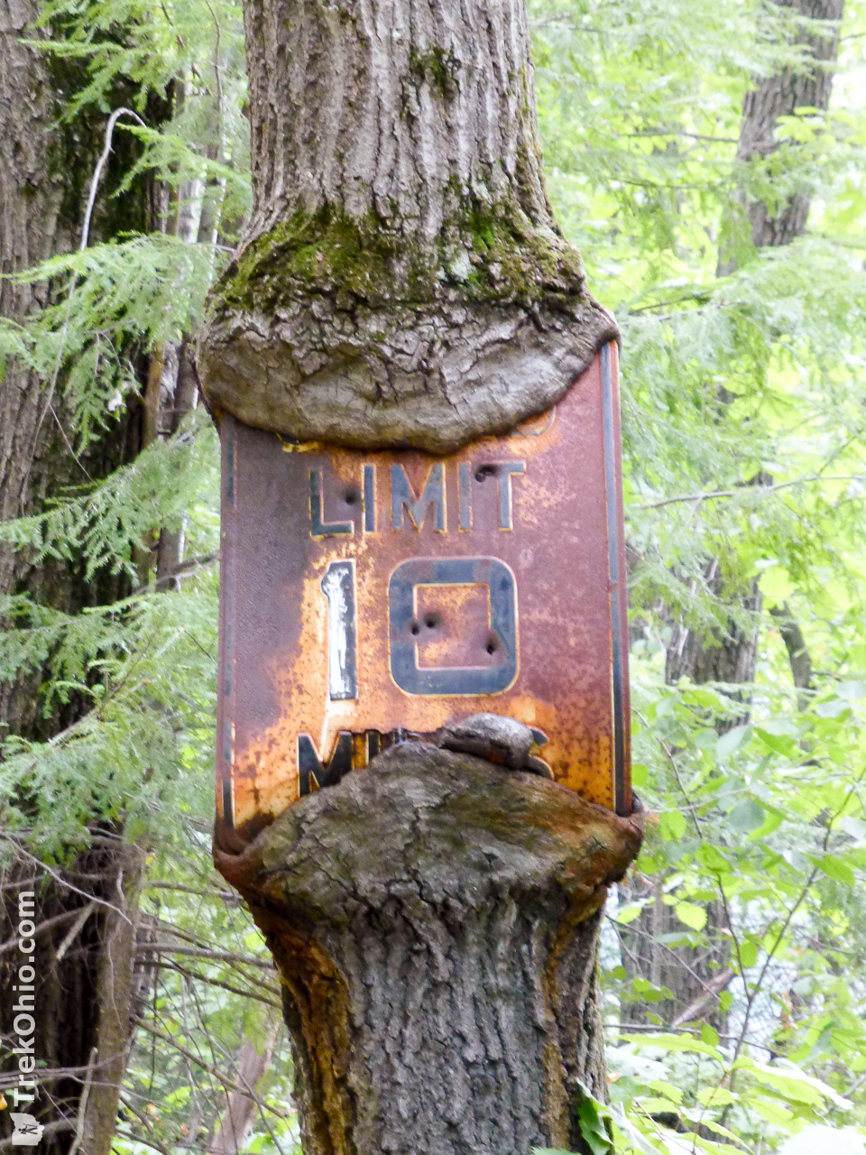
When the quartz pebbles work themselves loose from the conglomerate rock, they are regarded as “lucky stones.” For some mysterious reason, carrying one around is supposed to bring good luck.
Below is a GPS trace of our hike (you can also view this directly on Google Maps). We went in a roughly counter-clockwise direction, starting out by going due south. The straight, blue line shows the ledges that we explored.
When we came to this fork in the trail, we stayed on the right. On the way back we approached via the left.

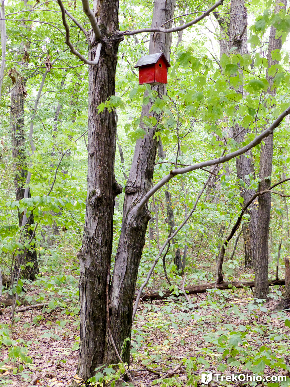
On the way we passed several bird houses.
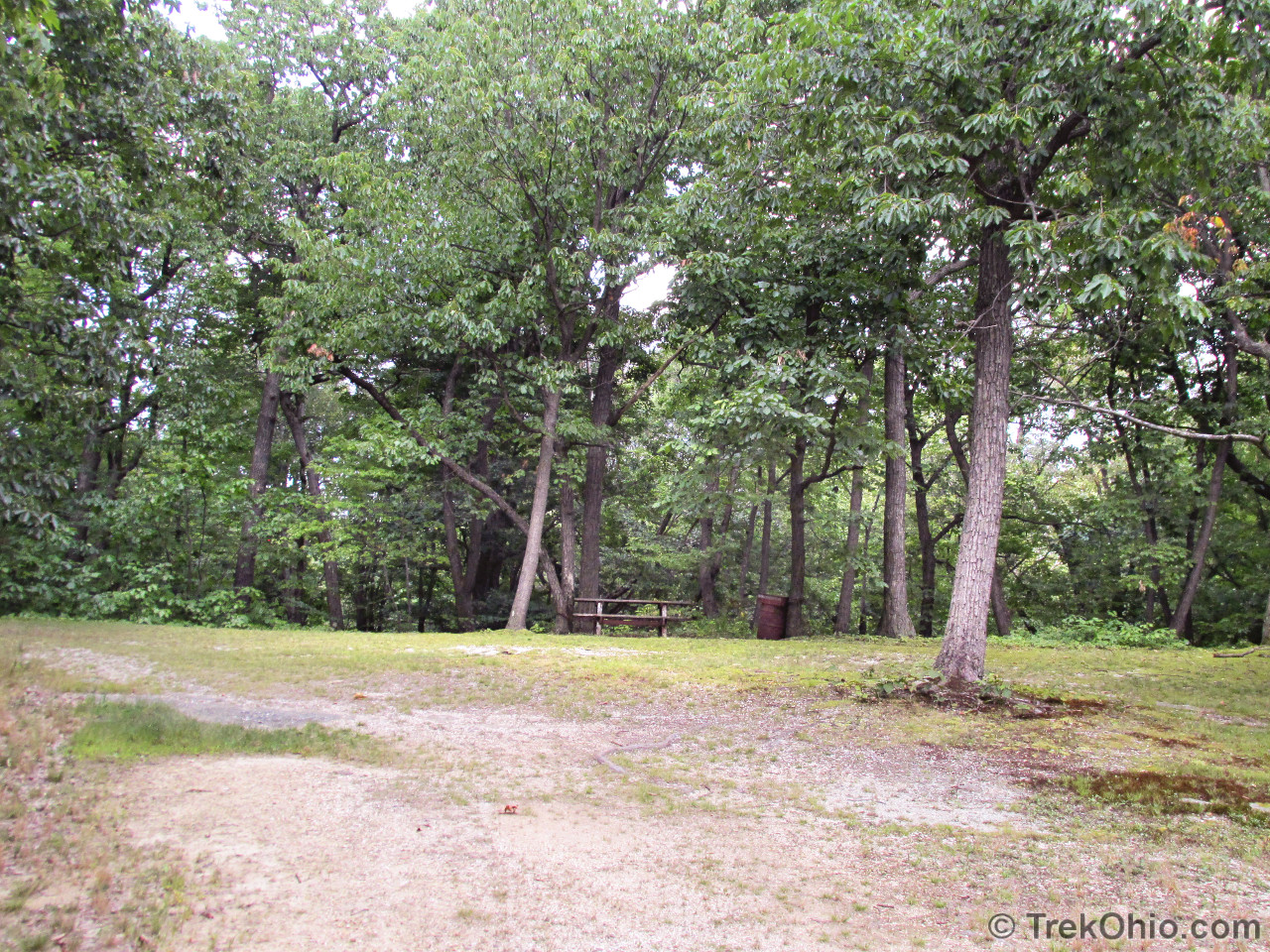
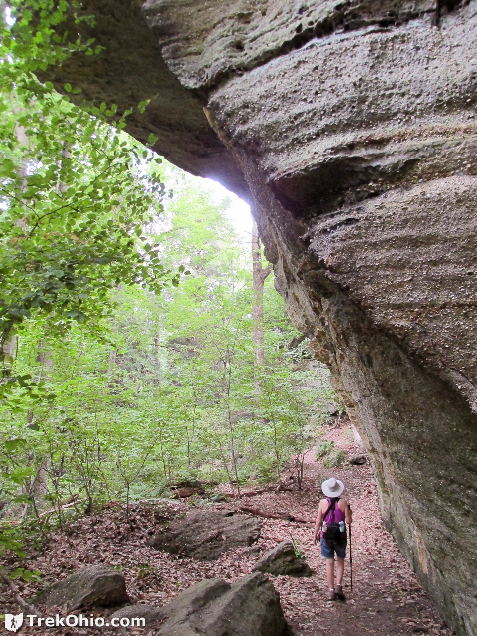
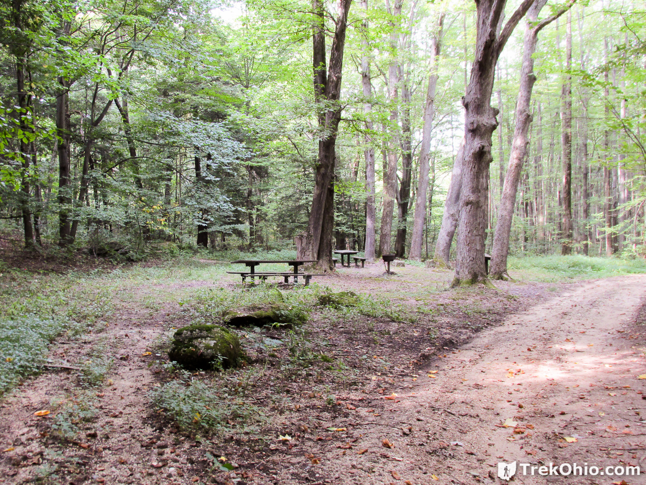
Before long we came across this picnic area. It turns out that it is near the rim of the ledges. Behind the picnic area there is a path leading down to the base of the cliffs that make up the ledges. On the map above this picnic area is represented by a red star.
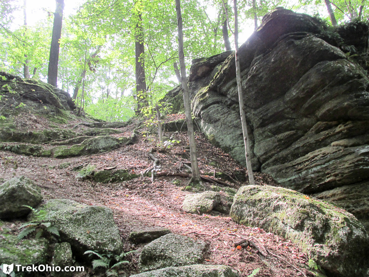

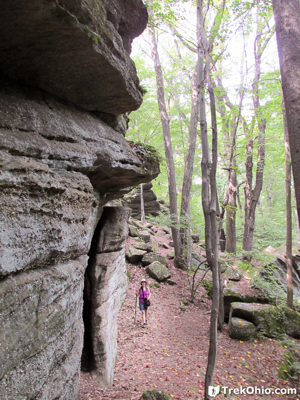
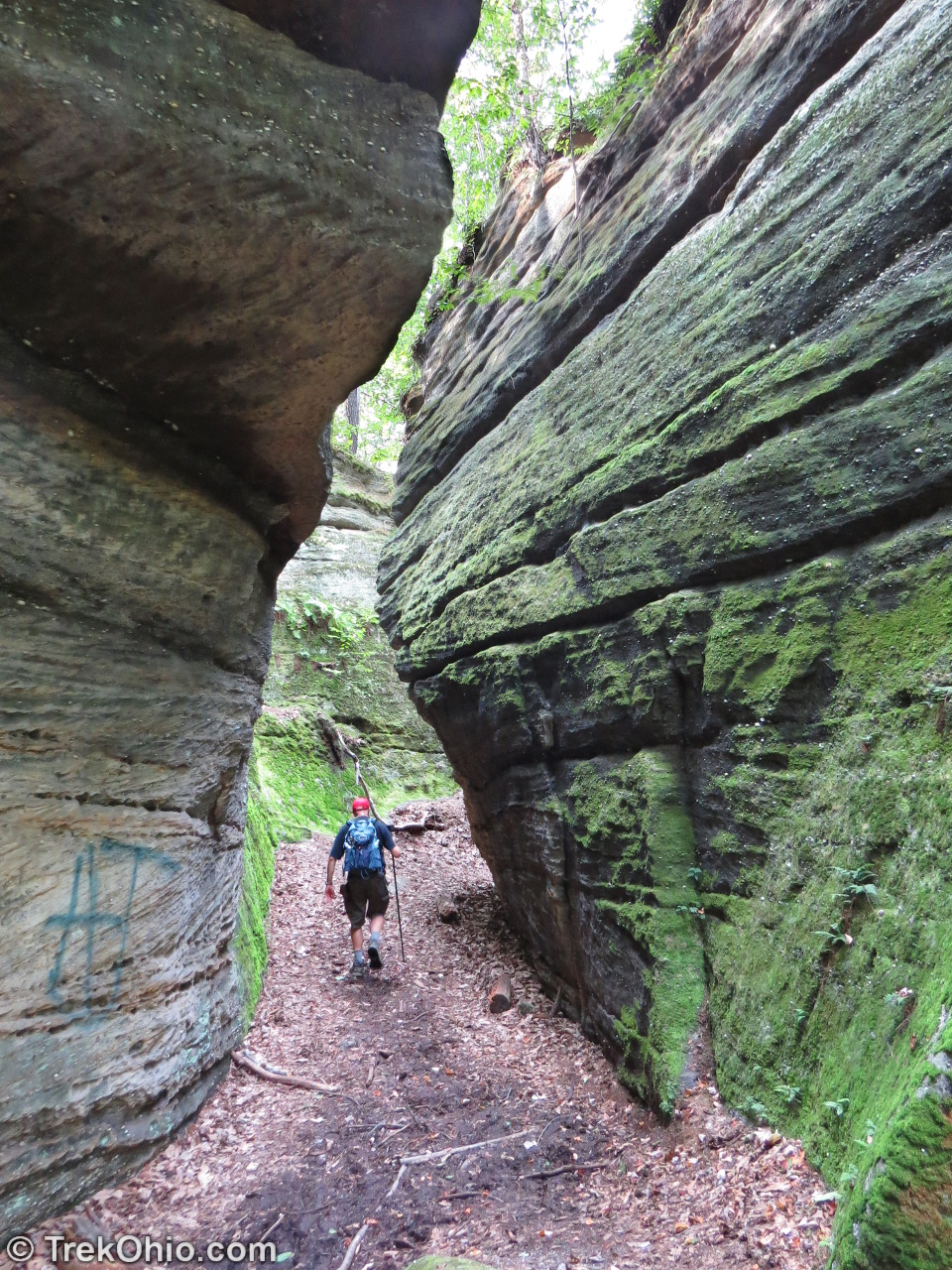
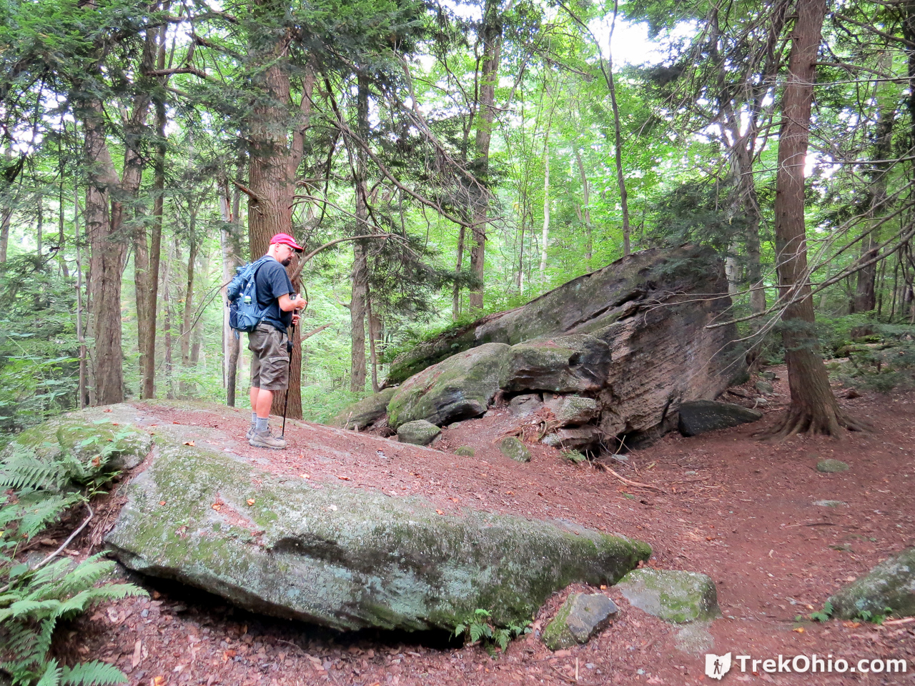
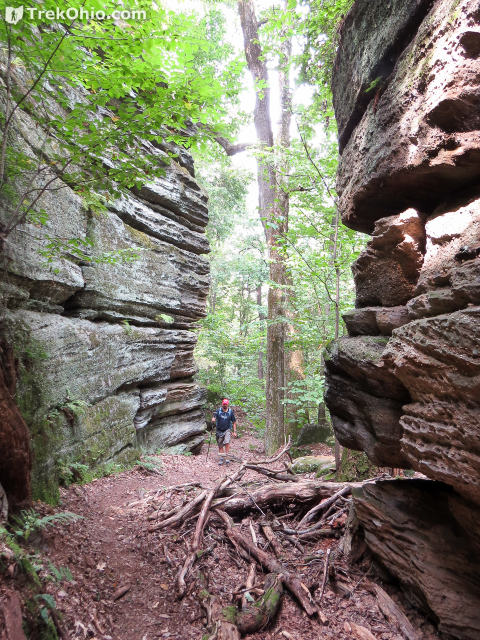
The area at the base of the ledges was relatively clear. Below are a number of photos to show you what it was like.

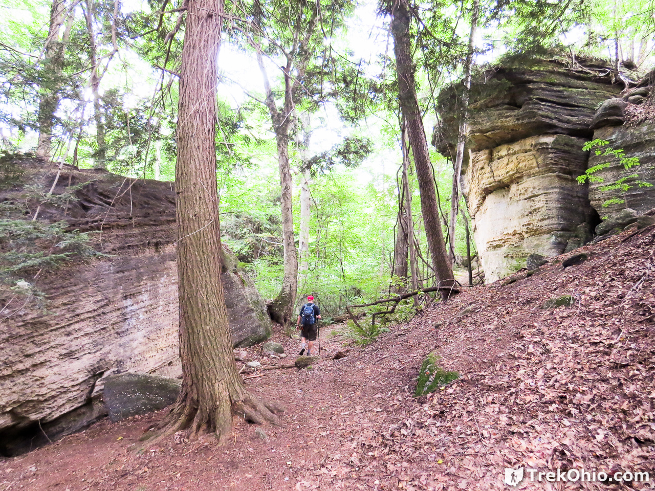
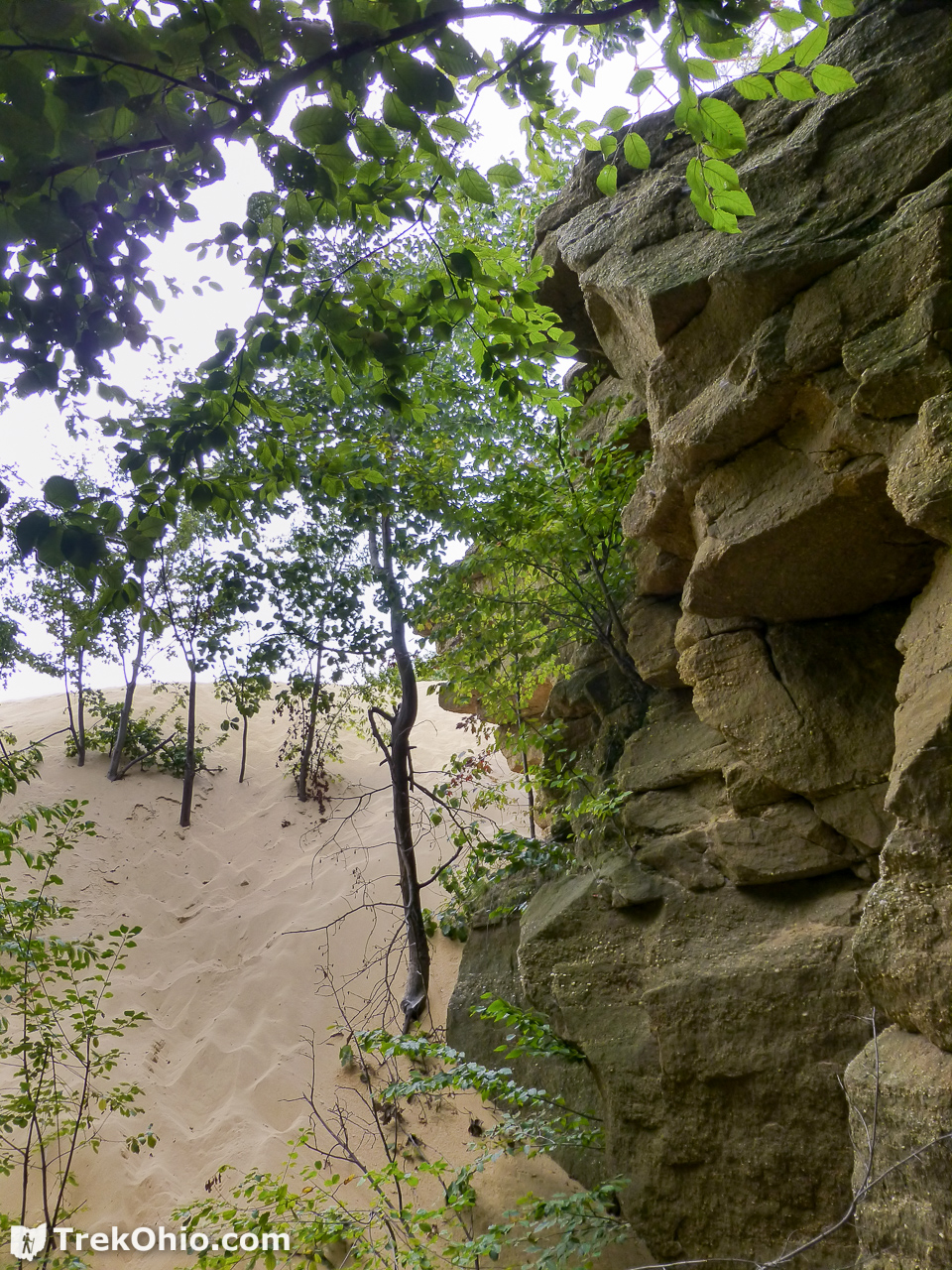
We followed along the ledges until we drew near the edge of a sand quarry. In the embedded Google map at the top of this page, this was the southernmost point of our hike. You can see the light-colored expanse of the sand quarry in the map. We did not enter the quarry area.
At this point we turned around and went north along the base of the ledges. In the map above we could make out a road below that we went to investigate. Once we drew near we had arrived at the lower picnic area marked by the red diamond in the embedded map near the beginning of this post.
Since the picnic area was near a road, we wondered whether we should follow the road out, but in the end we decided to retrace our steps. So we climbed back toward the same passageway that we descended.
Once we were back on the rim, we followed a road like path.
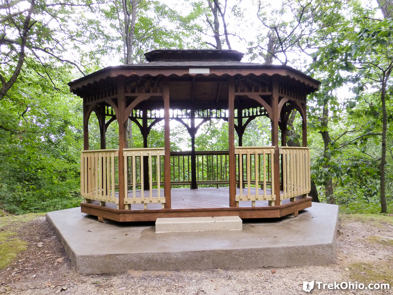
Soon the trail lead to a gazebo near the edge of the rim. As of this writing, the gazebo can be reserved for a $100 deposit which will be returned if the gazebo is in good condition after your event.
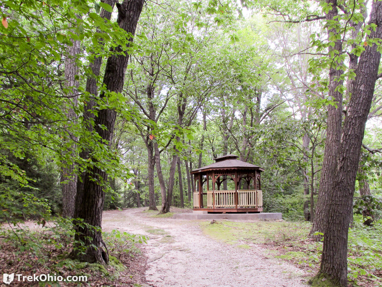
In the embedded map above, I believe the gazebo is near the red square.
We arrived back at the parking area. To the southest of where we parked, there was a recreational area (I think it was a tennis court), but it appeared that the ledges was just to the east of that. So we took a look at it from near the rim.


It looked like there were alternate ways of exploring this area by following a road-like trail. Since we didn’t go that way, we aren’t sure, but we are guessing that this trail led to the lower picnic area.
All in all, it was a great hike. The scenery was fantastic.
Additional information
- TrekOhio: Geauga County Parks & Nature Preserves — This is the county where Thompson Ledges is located; check out this page for links to the official website and for information on nearby parks and preserves.
- Adventures in Geology: Visiting Sharon — Discusses Sharon conglomerate in northeast Ohio.
- Green City, Blue Lake (blog associated with the Cleveland Museum of Natural History): Bedrock beneath — Discusses the geology of northeast Ohio.
Location
- Address: 755 Thompson Rd, Thompson, Ohio 44086
- GPS Coordinates: 41.6899776, -81.0462495
- Google Maps: View on map or get directions
More on Northeastern Ohio
 Killbuck Marsh Wildlife Area
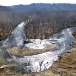 Cascade Valley South Metro Park
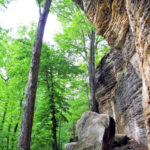 Cuyahoga Valley National Park: Ledges Trail
 Vermilion River Scenic Overlook at OH-2 Rest Area