The Morgan Sisters Trail System is in the northern, central region of the Ironton Unit of Wayne National Forest. It is a little over an hour’s drive northeast of Portsmouth, Ohio. It is comprised of three loop trails. According to the Forest Service, the Coal Branch Loop is 2.34 miles, the Ridge Loop is 1.88 miles, and the Schoolhouse Loop is 4.53 miles. There is a half-mile trail that connects the Morgan Sisters Trail System to the nearby Symmes Creek Trail System.
We went there for an afternoon’s hike in late October, and we restricted ourselves to the Coal Branch Loop and the Ridge Loop. Because we did the two loops as a figure eight, we ended up doubling the middle part of the hike. We also went the wrong way for a short distance at the farthest point of the Ridge Loop trail, so our mileage was greater than the 4.22 miles described at the Forest Service site. We hiked for six miles in all, with an elevation gain of 1077 feet, going from a minimum altitude of 561 feet to a maximum altitude of 1017 feet.
Arriving
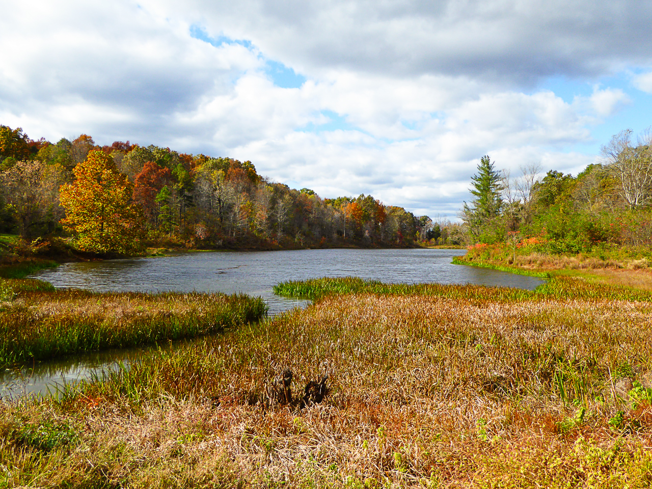
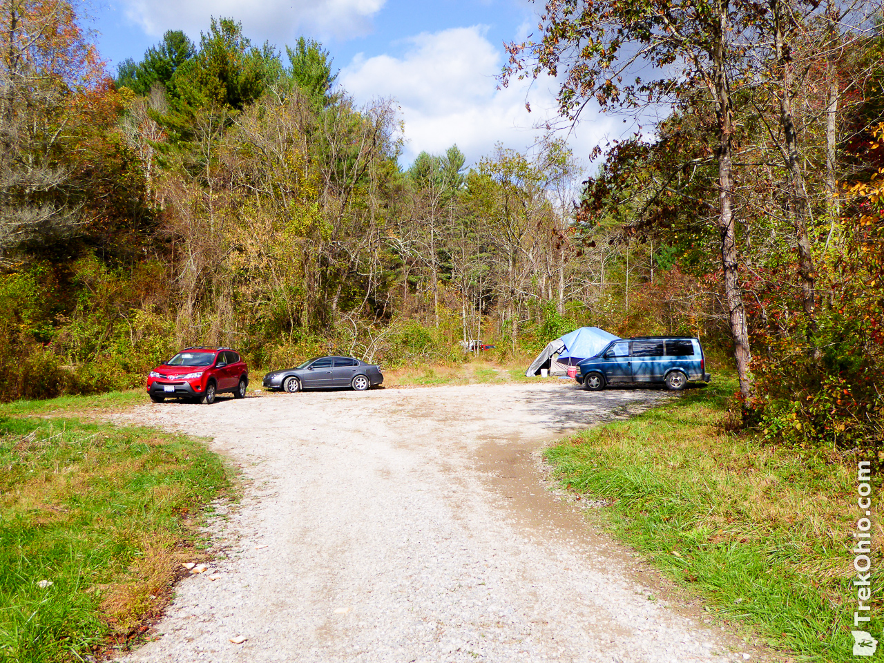
Fultz Road is a cul-de-sac than ends in a circular parking area. One hunter had pitched a tent just of the circular parking area, and I could see at least one additional tent a ways beyond the end of the road. As you drive toward the end of Fultz Road, you’ll pass Kenton Lake on your left, and it turns out the two trailheads are in the woods on your right. After parking we checked out the area near the lake.
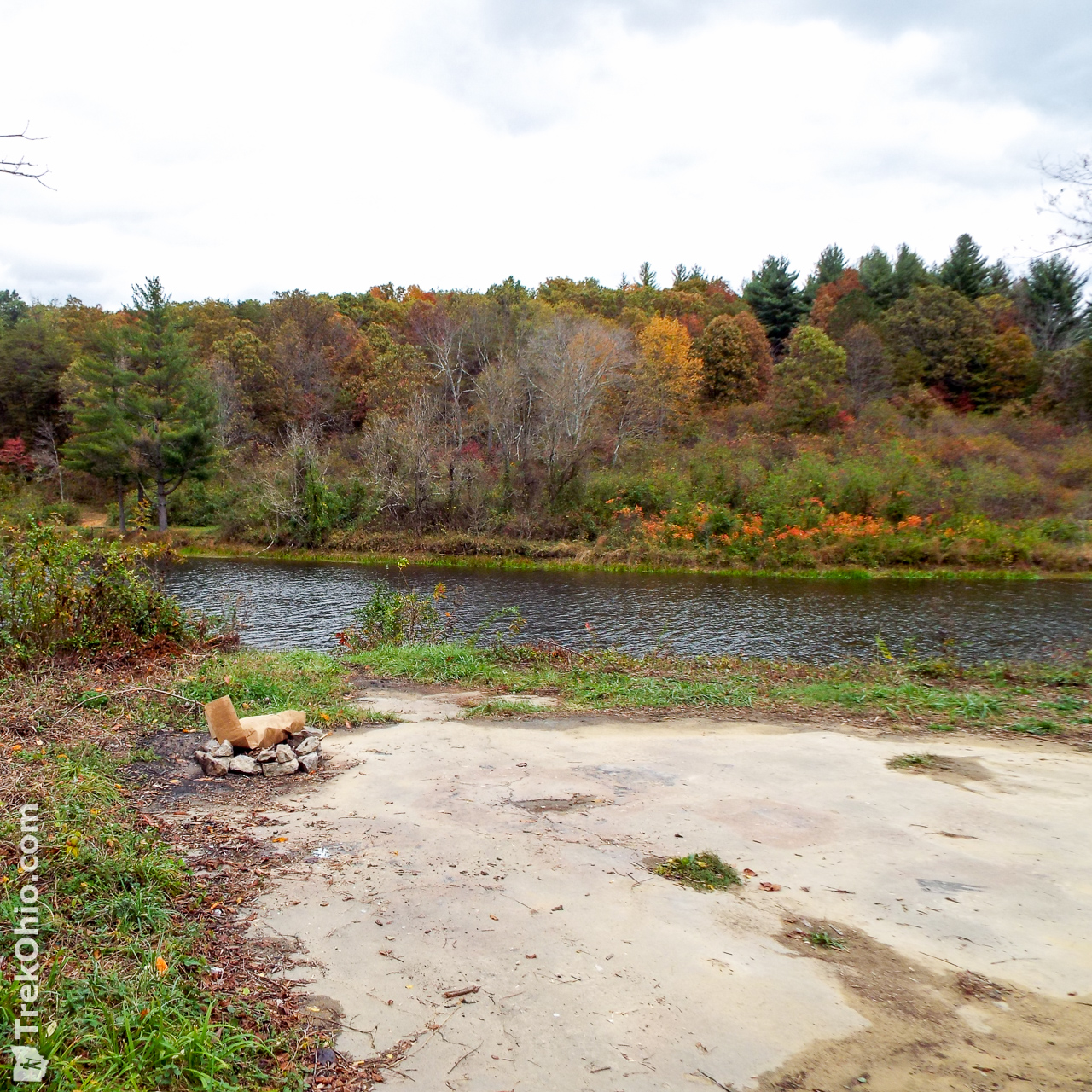
Their was a dirt drive leading to a large cement slab near the lake. It seemed like a good place for an RV to park.
Trailheads and GPS Trace of Hike
We had a bit of difficulty finding the trailheads. One of the hunters who was camping near the cul-de-sac told us that one of the trailheads for the Coal Branch Loop was near the cul-de-sac just beyond a guardrail. To reach the other we had to walk down the road from which we had come beyond the lake and the trailhead would be on our left.
When we looked in the direction of the guardrail, we didn’t see any trail blazes or signs, and it was sufficiently weedy that we were having some misgivings, so we decided to see what the other trailhead looked like.
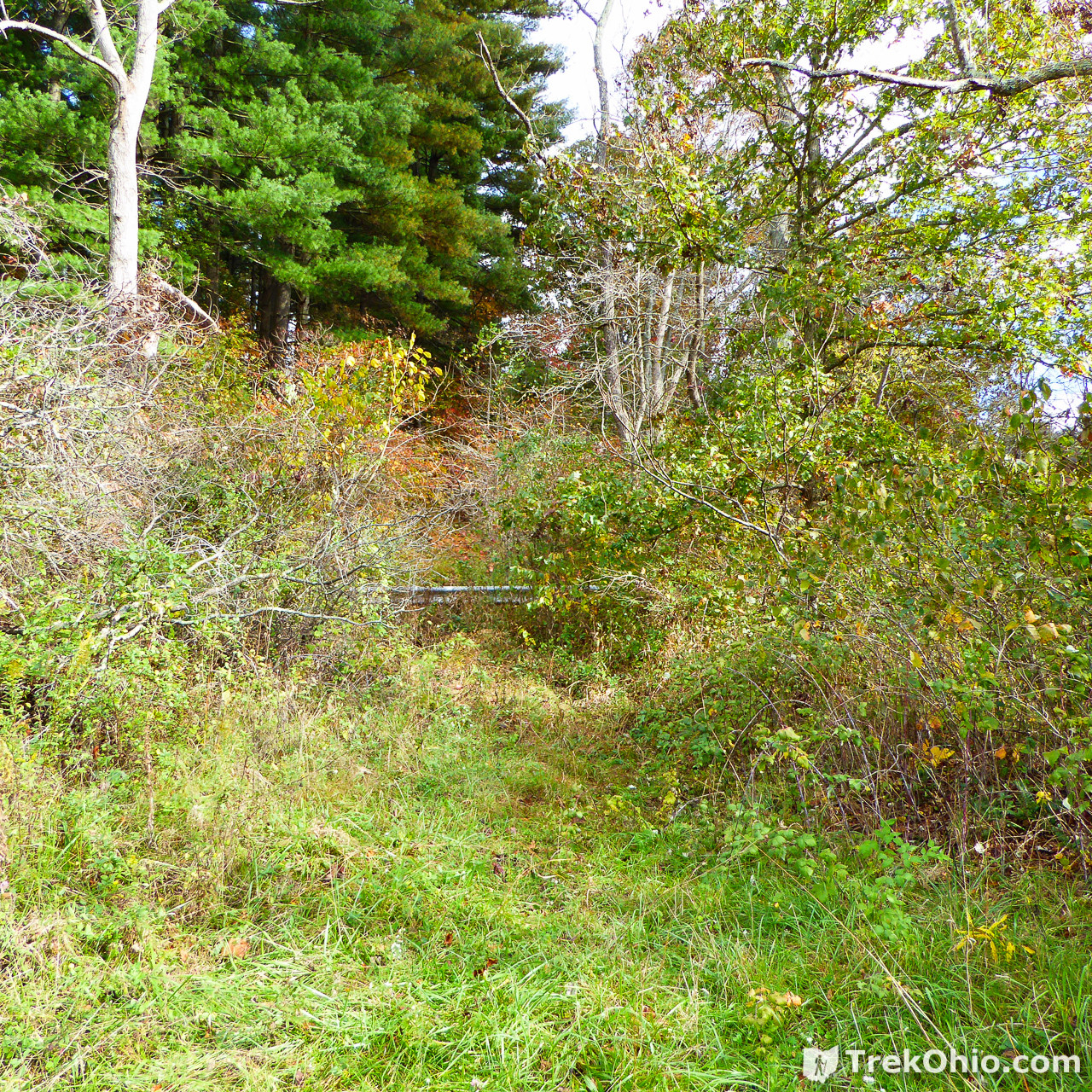
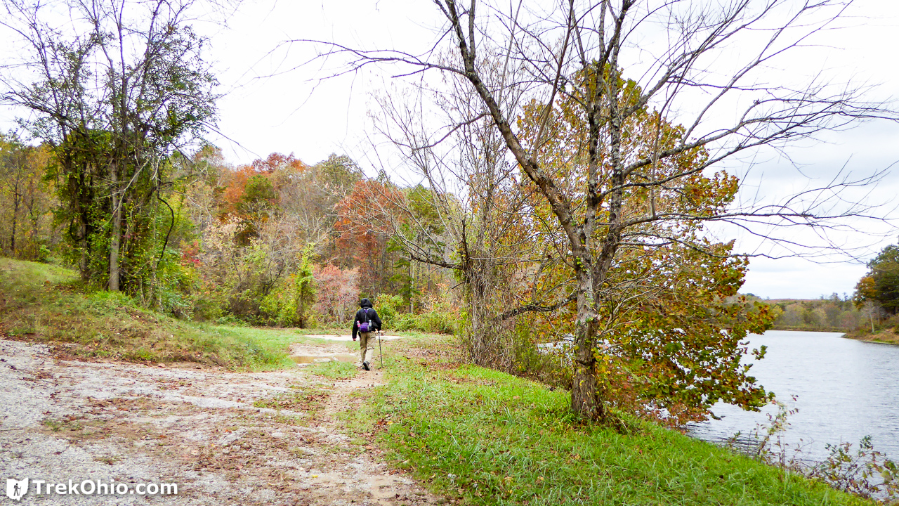
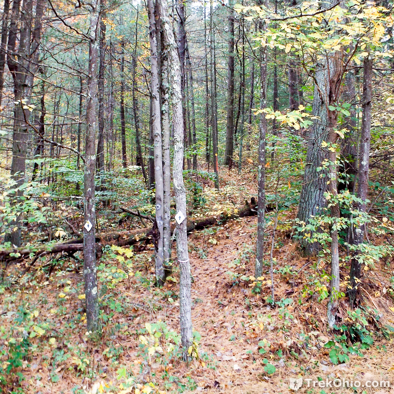
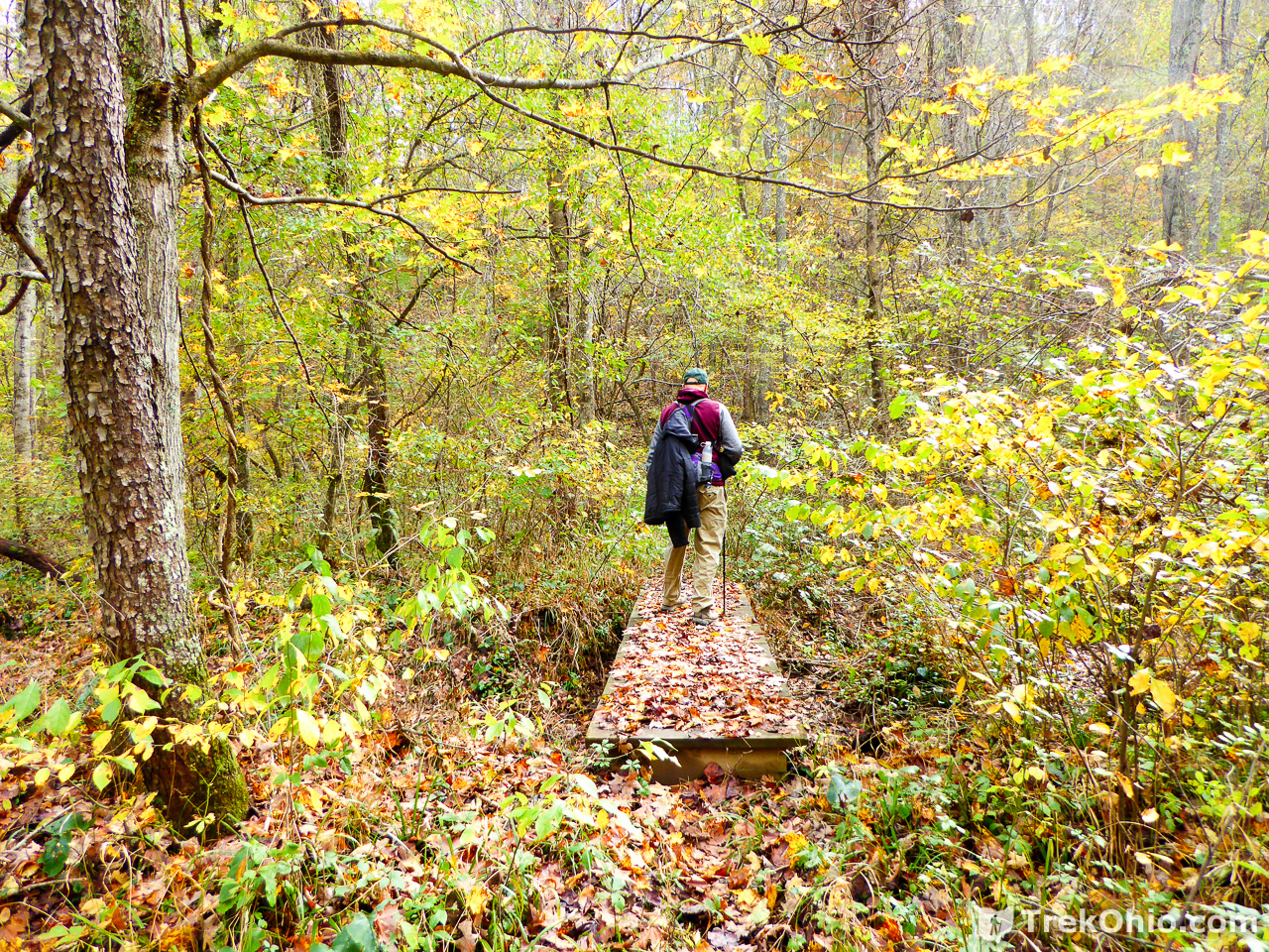
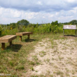
The other trailhead had blazes right next to the road which instilled a little more confidence in us, so we decided to start our outbound hike by entering the trail pictured below. White, plastic diamonds serve as trail blazes throughout this trail system.
The Morgan Sister Trail System consists of three trail loops. The one nearest the parking area is the Coal Branch Loop. It joins up with the Ridge Loop. When you are at the farthest point out on the Ridge Loop, it joins up with a third loop called the Schoolhouse Loop. Since we were starting kind of late, we decided to just hike the first two loops. These two loops were supposed to be about two miles each, so we were anticipating a four mile hike altogether.
We had planned on hiking counter-clockwise on the Coal Branch Loop. When we encountered the first access point for the Ridge Loop, we planned on taking that so that we would continue hiking counter-clockwise on the Ridge loop. However, it turns out that we missed the first point where the Coal Branch Loop and the Ridge Loop intersected, so instead when we turned left and tried to continue going counter-clockwise, we had to backtrack (so that’s why there a little spike in the lower right hand corner of the trace). When we realized where we had gone wrong, we ended up doing a figure eight (counter-clockwise around the Coal Branch Loop and clockwise around the Ridge Loop).
It turns out the small section of trail that is shared between the Coal Branch Loop and the Ridge Loop is kind of confusing. On the way out we were following blazes on the north side of a small stream. On the way back we were following blazes on the south side of the same stream.
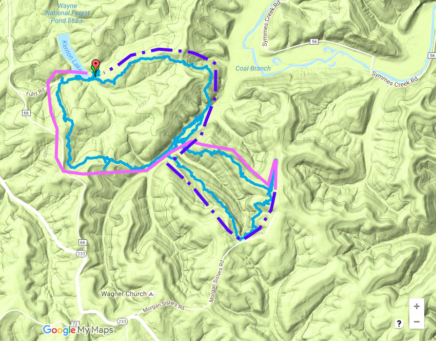
If you like, you can examine an interactive version of the map above on Google Maps.
Coal Branch Loop – Outbound
Soon after entering the trailhead, we passed through a small pine plantation.
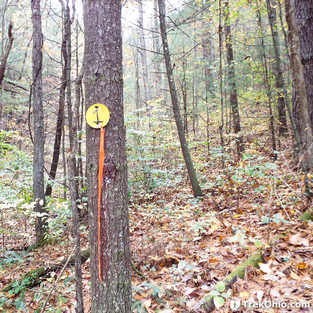
Update (11/8/2016): A reader contacted me to say that these numbered blazes are used in surveying bird populations. He said that I could think of them as listening posts for birds.
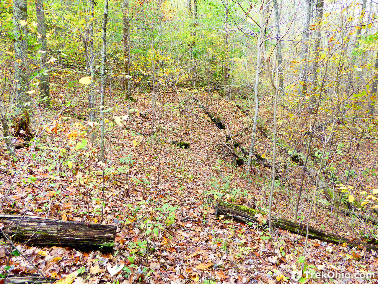
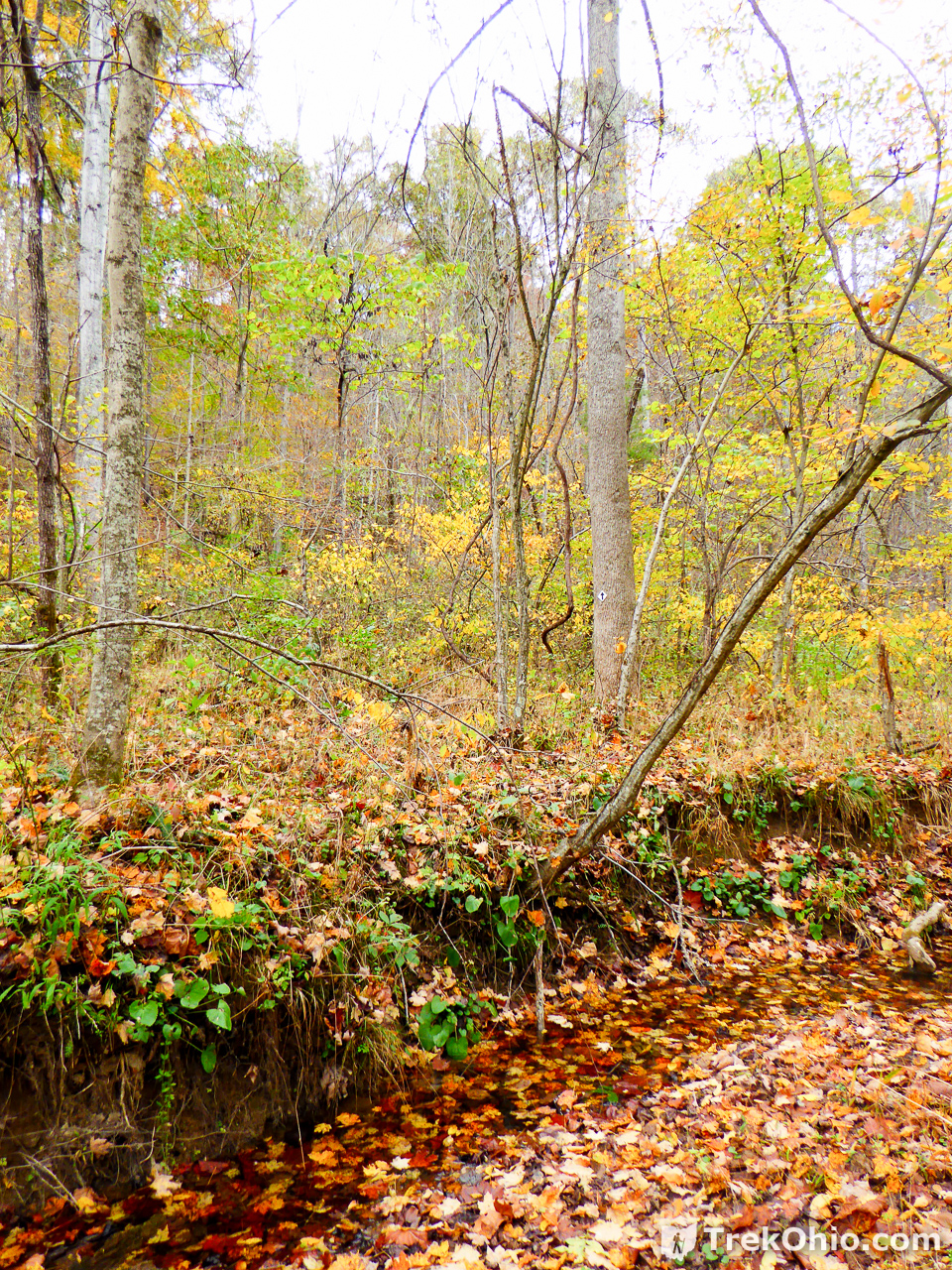
Some sections of the trail were really overgrown.
The bridge below crosses a small stream. It turns out that the first (westward) point where the Coal Branch Loop and the Ridge Loop intersected was on the opposite point of the stream at an earlier point in our hike.
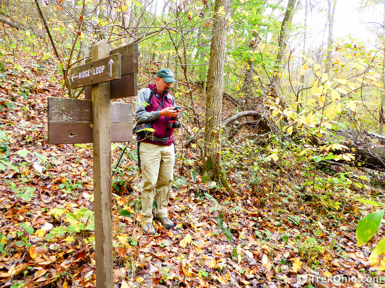
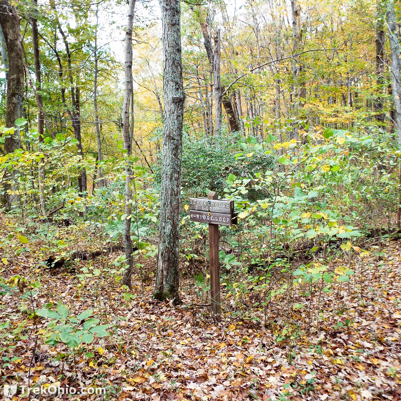
It wasn’t long until we came to a sign showing us that we had come to the intersection with the Ridge Loop trail.
Ridge Loop – Outbound
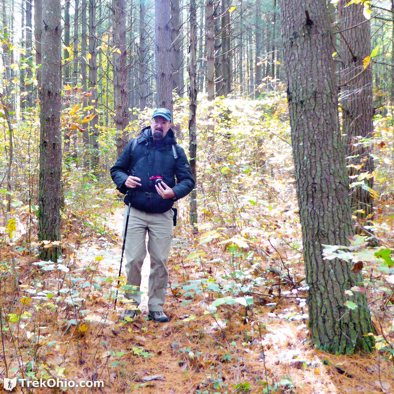
If your look at the photo below, there are two arrows for the Ridge Loop trail, one to the left (behind Bob) and one straight ahead. Except when looking straight ahead I didn’t see anything that looked like a trail. However there was a clear trail to the left. So we went left and up toward the ridge. This sign should have cued me into the fact that we were at the second (eastern) intersection between the Coal Branch Loop and the Ridge Loop, but since this was the first one that we saw, we wrongly assumed it was the first (western) intersection.
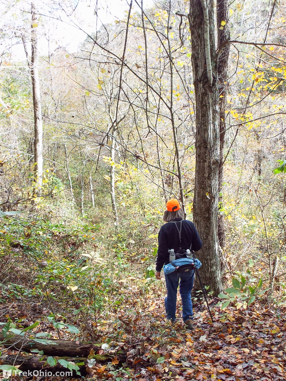
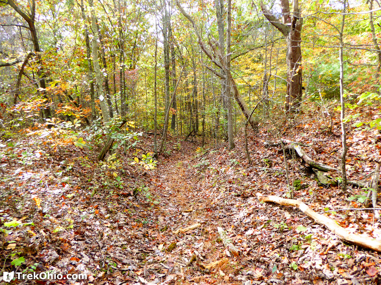
Since we had recently been through a brushy, overgrown section of the Coal Branch Trail, we were pleased to discover that the Ridge Trail was relatively free of undergrowth.
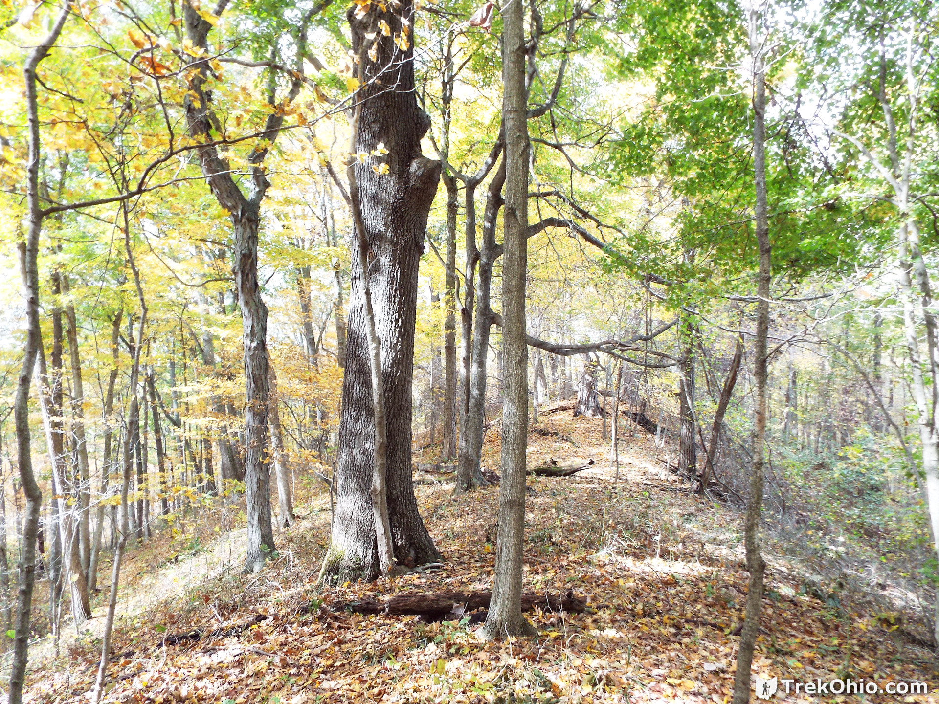

Although we were past peak fall color, it was still pretty.
Ridge Loop – Inbound
When we came to the sign below we had reached the point where it intersected with the Schoolhouse Loop. In other words, we had reached the far end of the Ridge Loop. Although there was an arrow pointing the way to enter the Schoolhouse Loop, the only only arrow for the Ridge Loop pointed down the same route we had just come (which doesn’t make for much of a loop). So we figured that we had to go either right or left to make a proper loop, and both ways were clear-looking paths. Because I didn’t realize that we had missed the first access point for the Ridge Trail, I mistakenly believed that we must still be going in a counter-clockwise direction, so we should go left to continue counter-clockwise. Wrong! Although it was a clear path, I wasn’t seeing any diamond blazes. In the distance I could see some red, vinyl tape tied around a tree, and since we had been seeing red tape off and on near proper blazes, I thought perhaps that’s what was up ahead, but instead it was showing the boundary between the park and private property.

When we reached the sign pictured above, we should have followed the arrows for the Schoolhouse Loop to continue our hike on the Ridge Loop. It turns out we had done the Ridge Loop in the clockwise direction. We soon came to the sign below re-assuring us that we had chosen correctly and we were able to complete the Ridge Loop.
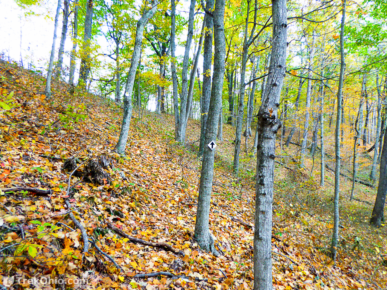
Below we are descending down from the ridge. In cases where you don’t see blazes, you can sometimes still figure out where the trail is by looking for logs that have been sawn through. Below you can see a series of logs that someone sawed.

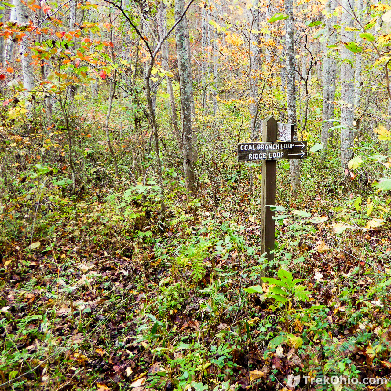
Coal Brach Loop – Inbound
When we finally came to the intersection of the Ridge Loop and the Coal Branch Loop, we were in an area that was overgrown. Later we realized that on our outbound trip we had never seen this because we were on the opposite site of the stream relative to this sign.
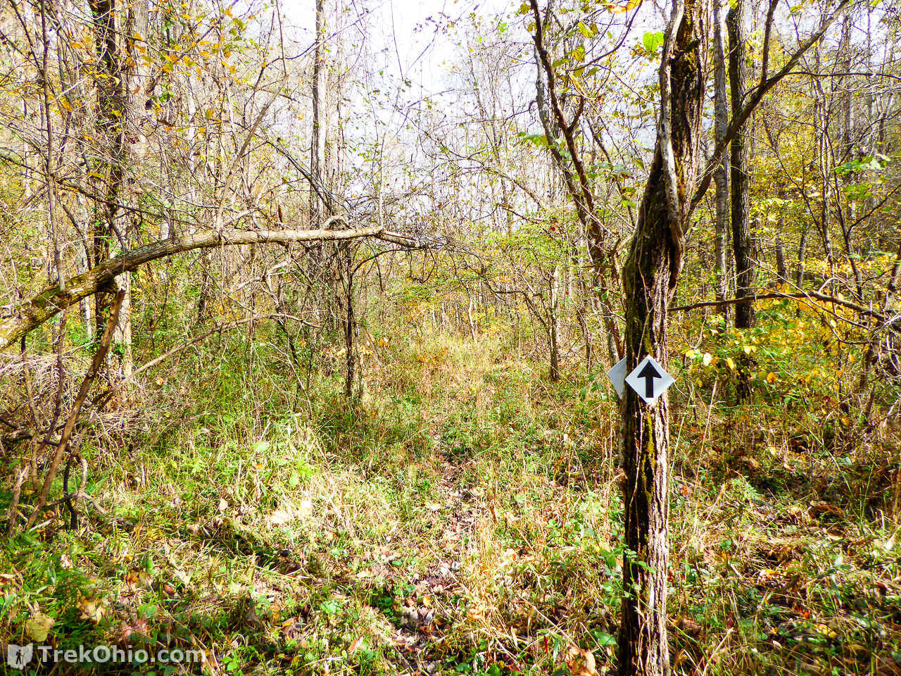
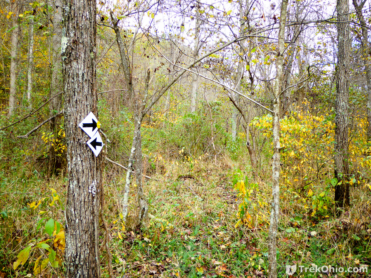
After following the area on the sign, the trail looked like what you see below. It didn’t look like a trail at all because of the undergrowth, but on the rightmost tree you can see a couple white, vinyl diamonds, so this must be it.

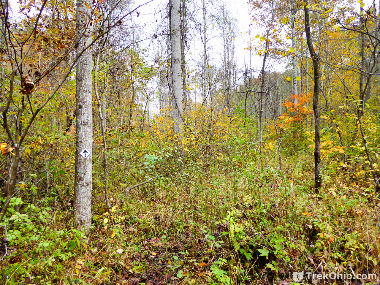
Below it is a little less weedy.
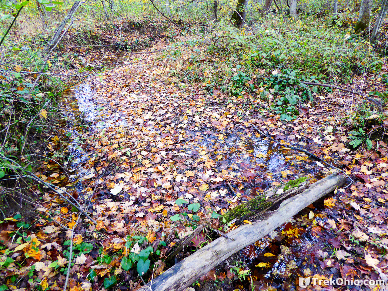
We soon came to a point where I couldn’t see any white diamonds ahead, but to my surprise I could see one on a tree across the stream.
Rather than cross right at the point above, we looked around to see if there was a better place where we wouldn’t have to deal with both the water (under the floating leaves) and the stream bank. It turns out that there was a better place to cross a short distance to our left.
It wasn’t too long after crossing the stream that we had to climb up a steep hill. I enjoy hills and was delighted to get out of the undergrowth.

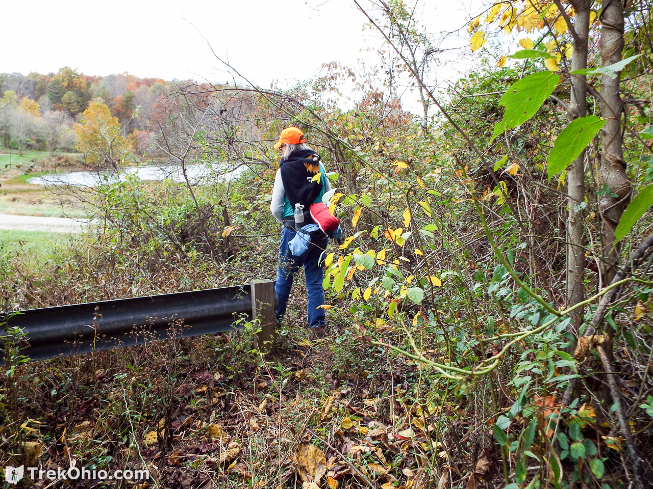
As we were getting into the final stretch of our hike, in the distance we could see the guardrail and the lake, and we knew that our hike was coming to an end.
Overall I really liked the Ridge Loop portion of the trail, but the overgrown parts of the Coal Branch Loop were less fun. I wish we could have had a chance to check out the Schoolhouse Loop, but maybe another day we will.
Note: in addition to camping near the trailhead, backpackers hiking the 14 mile Symmes Creek / Morgan Sisters Trail system can camp adjacent to the trail.
Additional information
- TrekOhio: Gallia County Parks & Nature Preserves — This trail system within the Ironton Unit of Wayne National Forest is located in Gallia County; check out this page for links to the Wayne National Forest website and for information on nearby parks and preserves.
- Forest Service: Symmes Creek / Morgan Sisters Trail Information
- Forest Service: Trail Segment Lengths
- Northeast Ohio Backpacking Club: Trail description
- Northeast Ohio Backpacking Club: Trail Map (PDF)
Location
- Address (approximate): 341 Fultz Rd, Patriot, OH 45658
- Directions: This trail system in in the northern, central region of the Ironton Unit of Wayne National Forest. It is to the northeast of Portsmouth, Ohio (just over an hour’s drive away). From Portsmouth.
- GPS Coordinates: 38.817674, -82.487642
- Google Maps: View on map or get directions
More on Wayne National Forest
 Wayne National Forest (Athens Unit): Monroe Outlook
 Wayne National Forest (Ironton Unit): Lake Vesuvius
 Wayne National Forest (Marietta Unit): Scenic River Trail
 Wayne National Forest (Marietta Unit): Lamping Homestead
When did your trip take place? Late October of 20??. Multiple trail diaries talk of the over growth, but the ones I can date are from 2004 and I would like to know if it still problematic.
We hiked portions of the Morgan Sisters Trail in October 2016.
Love this post.
Sartenada, thank you!