Rockbridge is a small but scenic nature preserve in the Hocking Hills area containing a natural stone arch. It is longest arch of about a dozen stone arches in the state.
Getting to Rockbridge is relatively easy, but finding it the first time… not so much. A small brown “Rockbridge State Nature Preserve” sign on US Rt 33 directs you to a nondescript exit on to Dalton Rd. The road parallels 33 for a short ways and turns to the north. After about 3/4 mile there’s a small parking lot to the left with another Rockbridge sign. You’ll think, “This can’t be it. Where’s the arch?” But you’re in the right place.
Follow the grassy path that’s lined with shrubby brush and wildflowers depending on the season. Soon you’ll be following a dirt path uphill with pasture land on one side and woods on the other. If it’s been raining, this sloping path will probably be muddy and slippery. Under such conditions, a walking stick can make the going a lot easier. The path will turn into a boardwalk through a boggy area, and eventually enter the woods. Soon you’ll reach a fork in the trail. The main trail at Rockbridge is a one mile loop. If you go straight at the fork, you’ll soon reach the Rockbridge. Go left and you’ll also reach the Rockbridge, but only after traversing most of the loop.
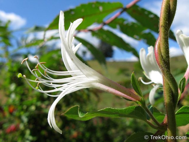
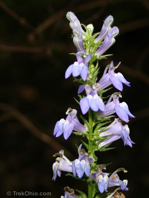
Here is a look at some of the wildflowers that grow near the grassy portion of the path.


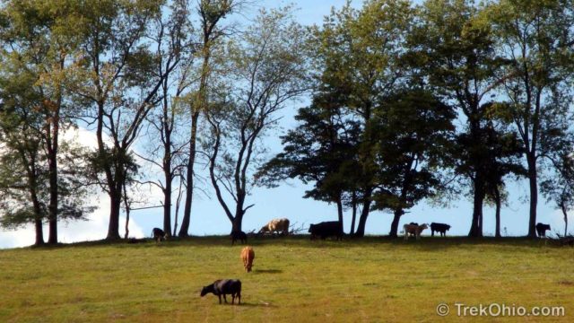
After this you’ll have a clear view of the farmland beside the path.
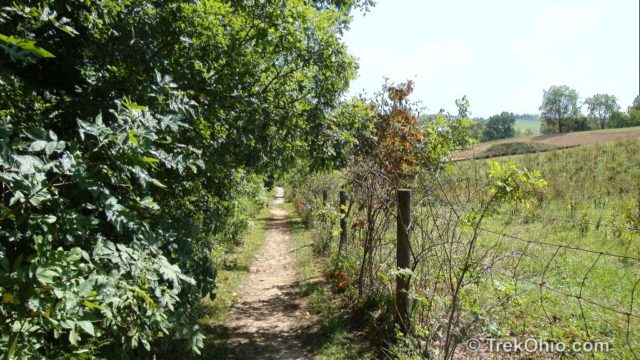
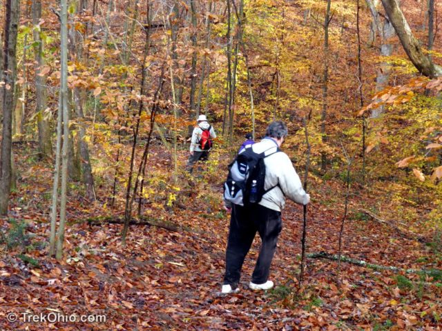
Finally you’ll enter the woods. You might also be relieved that you’re finally going downhill, too.
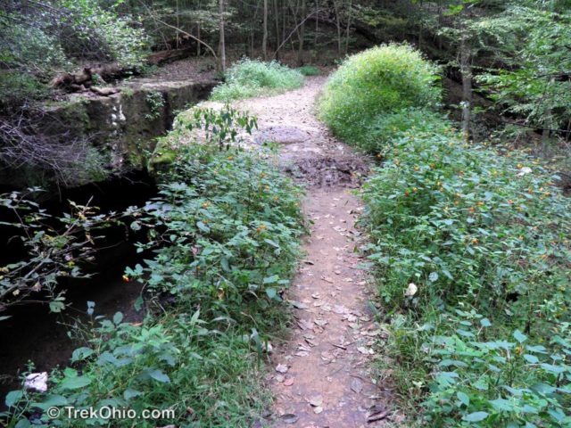
The trail (either direction) eventually takes you to a small side trail leading to the rock bridge. A sign contains dire warnings about the dangers of falling off a cliff (not suitable for small unattended children).
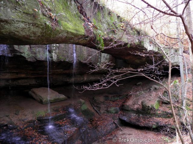
The bridge was originally a recess cave with a seasonal stream dropping through the cave roof. Eventually the roof collapsed, but not all of it! A length of the former cave ceiling remained as the stone arch. The trail continues and forks with one a short path terminating at the base of the arch and another leading to the bank of the nearby Hocking River. We’ve seen canoers disembark here to take in the bridge. If you like, you can walk across the stone arch to the other side, but be careful because there may be mud on the bridge. And it might be worth noting that there’s really not much on the other side beyond it being another point from which to view the arch.
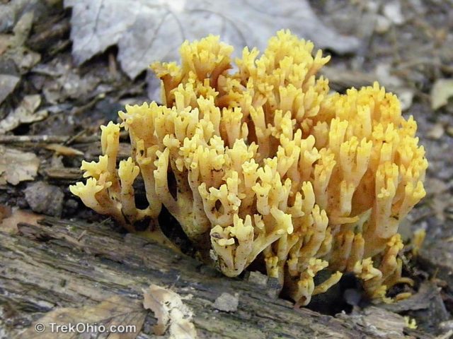
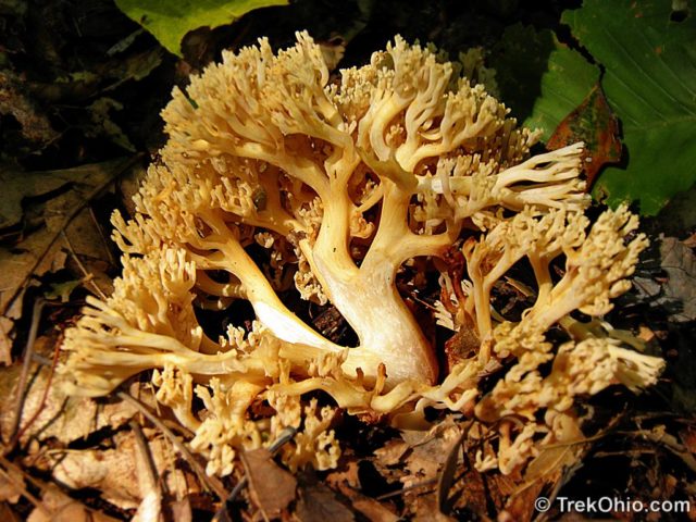
While following the wooded portion of the trail, we have spotted deer. Deb also spotted this unusual fungus. It is a type of coral fungus.
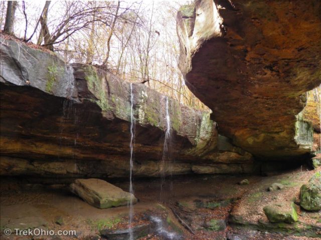
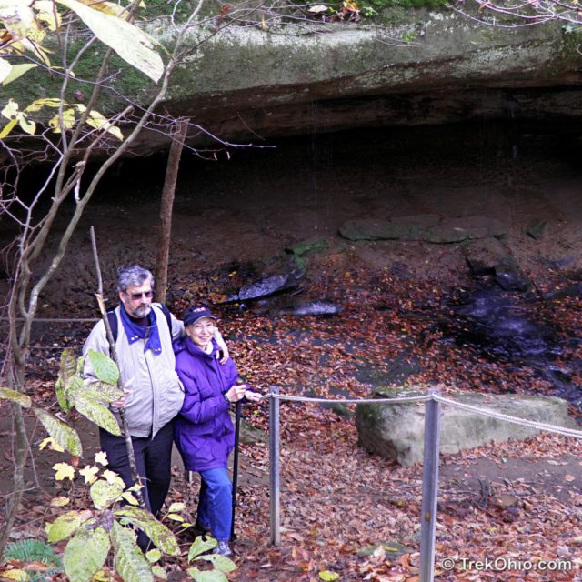
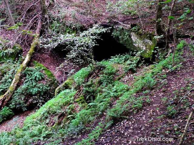
A side trail labelled the “Rock Shelter Trail” off the main loop offers a view of the nearby Hocking River, two small recess caves and a seasonal waterfall.
You may hear strange sounds in the preserve. They sound like “Zzzzzzzzzip yahoo!!”. The sound is from people enjoying the nearby Hocking Hill’s Canopy Tours zip line.
Rockbridge is a state nature preserve rather than a park. There’s a small parking area, but no restrooms or picnic tables. Pets are not permitted in the preserve.
Additional Information
- TrekOhio: Overview of Hiking Trails in the Hocking Hills
- TrekOhio: Hocking County Parks and Preserves
- ODNR: Ohio's Natural Arches
- ODNR: Ohio’s Natural Arches (PDF) — Provides more details than the link above, plus includes a list of all publicly accessible arches in the state.
Location
- Address: 11475 Dalton Rd, Rockbridge, Ohio 43149
- GPS Coordinates: 39.566367, -82.499333
- Google Maps: View on map or get directions
Thanks for the hike Deb, very beautiful terrain! The NE asters….WOW WOW WOW! What beautiful color, lighting, & composition! 🙂
Thank you, Donna. You are such a good photographer that your kind words mean a lot.
Wow … you are making it difficult for me to decide which route to take when I go to Magee Marsh. I love your posts and the pictures are great. I really love the Asters and the Coral Fungus … way cool! Tom
Thanks! You know, I was just at Mohican a couple weeks ago, and I struck up a conversation with a birder there. He told me that Killbuck Marsh Wildlife Area is also great place to go if you like birdwatching. I’m just seeing if I can complicate your itinerary further. 😀
Gorgeous photos!
Thank you!