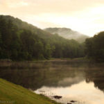
Scioto Trail State Park is located in the forested hills of Ross County in southern Ohio. Most of the trails are near the Caldwell Lake. The day we were there, there was a fishing tournament in progress at the lake.
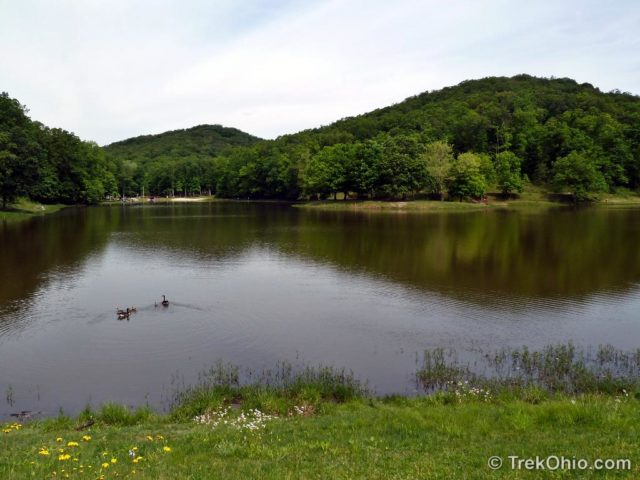
Just north of the lake is a campground and a small camp store. The staff were very friendly and told us the main attraction of the area was peace and quiet. She warned us that the trails were a bit overgrown and that she’d been trying (thus far unsuccessfully) to recruit volunteers to work on the trails.
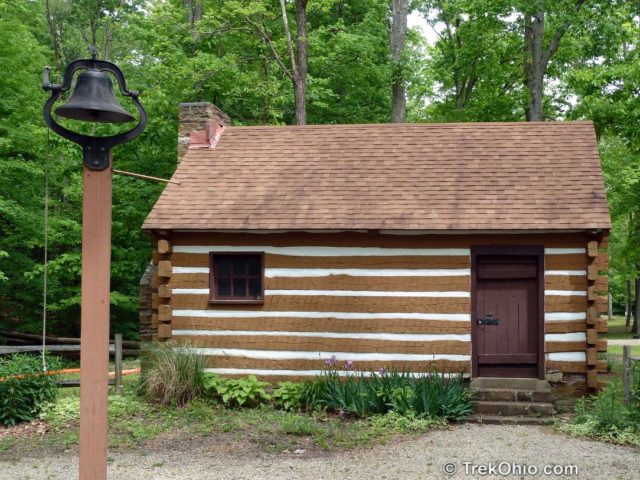
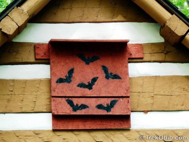
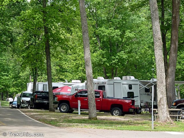
The campground is divided into separate areas for RV campers and tent campers. The RV area was fairly full. The tent camping area was in a small cove with a stream flowing through it. It was mostly empty. At the entrance to the tent campground was a reproduction of one of the first Presbyterian Churches in the Northwest territories done in a log-cabin style. The tent campground was very inviting – at some point we’d like to go back and camp there.
There seemed to be lots to do for children at the campsite. Some were participating in the fishing tournament, while others were riding bikes or skateboards on the roads around the campsite. We also saw kids playing basketball on one of the nearby courts. Plus there was an outdoor movie theater for campers.
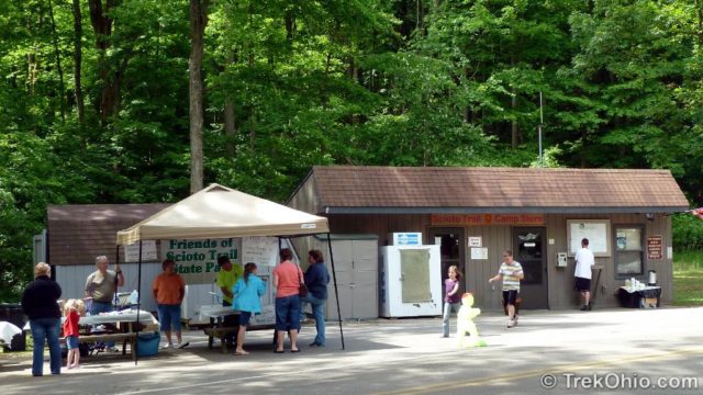
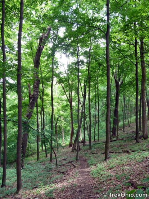
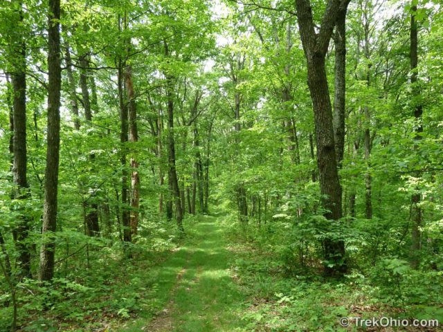
We hiked two trails at the park. The first was the DeBord Vista trail with a trail head just behind the camp store. The trail starts by going up & up to a ridge line and then follows the ridge line all the way to Lake Rd. At that point, you have the option of walking along the road to the fire tower at the park entrance.
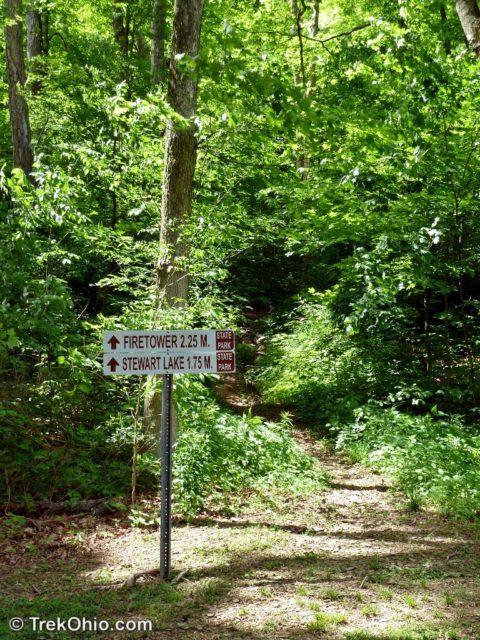
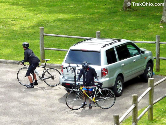
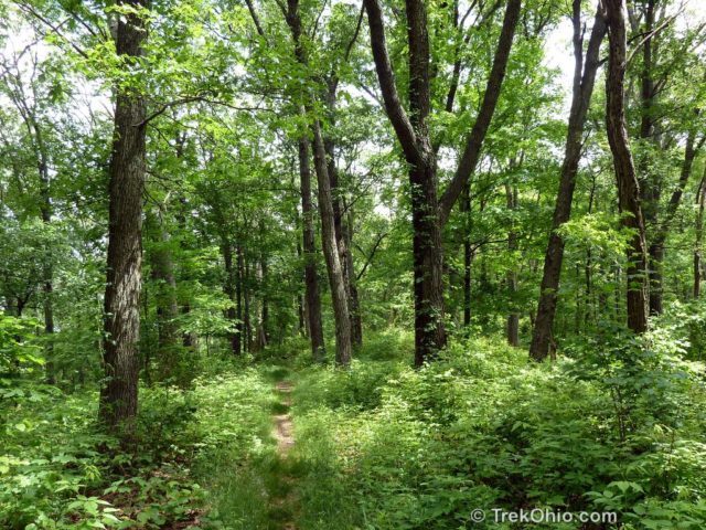
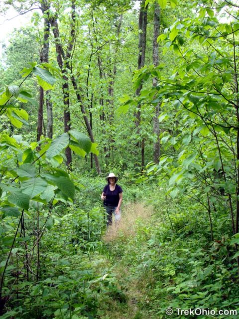
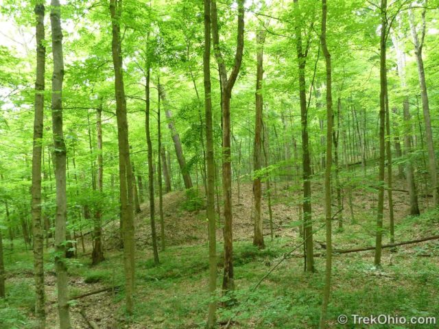
The trail was pleasant, but was a bit overgrown in places. We were there on a warm, sunny spring Saturday, yet we were the only people on the trail. The promised vista was not visible due to the thick foliage. I’m thinking, a better time to visit would be early spring before the leaves were on the trees, fall – for the color change, or late fall after the leaves drop off the trees. We made our way to Lake Road and greeted a couple on mountain bikes we’d spoken to earlier. They were enjoying the scenic and hilly roads that run through the park. We passed on walking on the road over to the fire tower and returned the way we came. We also passed on a side trail that leads to Stewart Lake. This looks worth exploring another time.
We returned to the camp store, bought some cold iced tea and ate a packed lunch at a nearby picnic table.
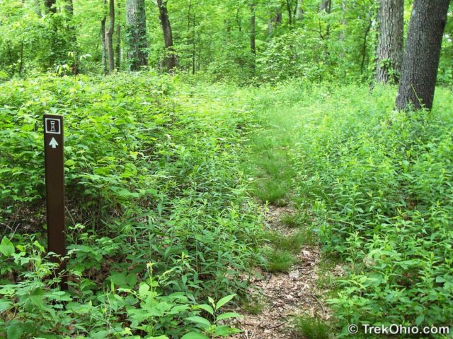
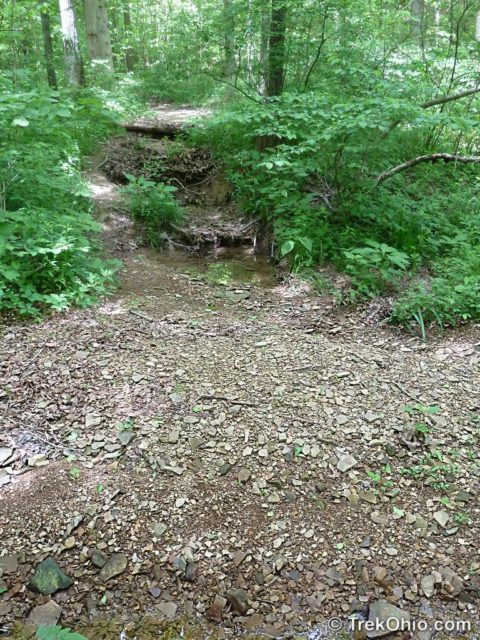
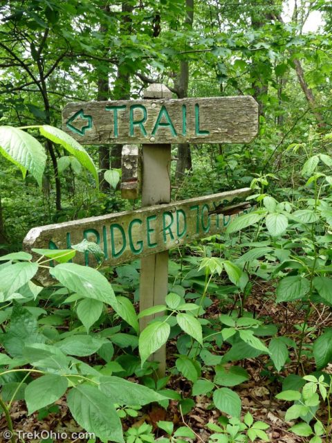
Next we decided to hike the Church Hollow Trail. This begins at the far end of the tent campground. The overgrown entrance to the trail should have been a clue. The faded, fallen trail sign just past the trail head should have been another clue.
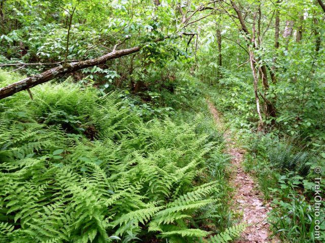
The trail is nominally a loop trail and had been a very nice trail at one time. It goes past streams, over hills, and through fern covered valleys. But it has not been maintained in a long time. It is so overgrown, that in some places you’re not sure you are on the trail. Erosion made small stretches of the trail a challenge. We eventually lost track of the trail and emerged on one of the park roads and made our way back to the lake.
Deb photographed lots of flowers while we hiked the trails here. You can take a look at them at her post, May Wildflowers at Scioto Trail State Park.
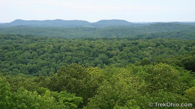
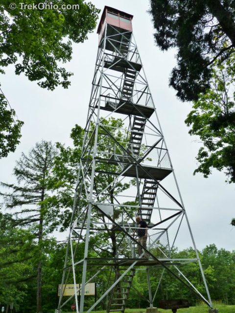
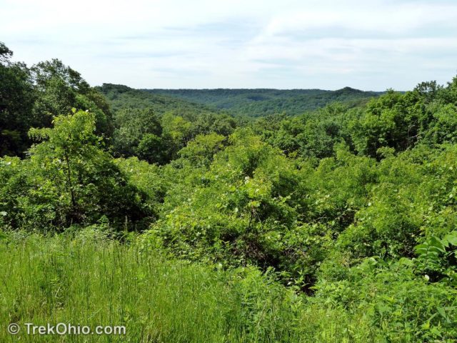
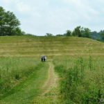
While driving out of the park, we stopped at the fire tower. I climbed the fire tower and took pictures of the surrounding area. One of theses photos is at the top of this post. A word of warning: don’t try to use the outhouses near the fire tower. Although there are no signs stating that they have been closed, they obviously haven’t been attended to in ages. They were pretty nasty.
Scioto Trail Park is a nice place to go camping, fishing, or mountain biking. If you go hiking, I’d recommend that you use one of the trails behind the camp store and that you avoid the Church Hollow trail.
To get to the park we took US 23 south from Columbus. The park is south of Chilicothe on the left side of the road. Watch carefully as the entrance signs are not particularly prominent. We used a Magellan GPS which wanted to direct us past the park entrance and then turn around a few miles later. Since US 23 is not a divided highway at this point there’s no point in making such a U-turn.
The trails we wanted to hike started near the camp store by Caldwell Lake (map of park). The main roads around the park are a giant loop, but a part of the loop is one-way. Our GPS didn’t know this, so we had to drive around the park to get to the entrance using the gravel-topped North Ridge Road. Although there were some nice views at pull-offs along the road, I don’t think I’d recommend this. Instead go the direct route to the Caldwell Lake by way of Stoney Creek Rd.
Additional information
- TrekOhio: Ross County Parks & Preserves — This is the county where Scioto Trail State Park is located; check out this page for official links and information on nearby parks and preserves.
- Topographical map of Scioto Trail State Park
Location
More on Ross County

I found a source of creative commons licensed topographic maps at libremap.org. We converted a segment of a map for use with the above post – see the link above entitled Topographic Map of Scioto Trail Park. My questions to readers is whether this is useful and should we continue adding this information for future park / preserve reviews?
This is a beautiful part of Ohio. I wonder if this park has suffered from cuts in state funding, resulting in lack of trail maintenance.
A lot of the trails are built and maintained by volunteers. For instance, a Columbus scout troup has built and continues to maintain the trails in Tar Hallow. The woman at the camp store says that Scioto Trail State Park has trouble attracting volunteers because they are kind of out of the way.
I would definitely be willing to go back there. Since going there, we have heard that the best trail Scioto Trail State Park is the one that goes to Stewart Lake, and we didn’t even explore that one.