On our visit to Balanced Rock we accidentally ended up in the Rock Climbing and Rappelling Area of Hocking State Forest. This 99-acre region of the Hocking State Forest contains a mile long escarpment of Blackhand sandstone varying in height, topping out at 100 feet. It is the only place on state land in Hocking County that is available for use by rock climbers and rappellers.
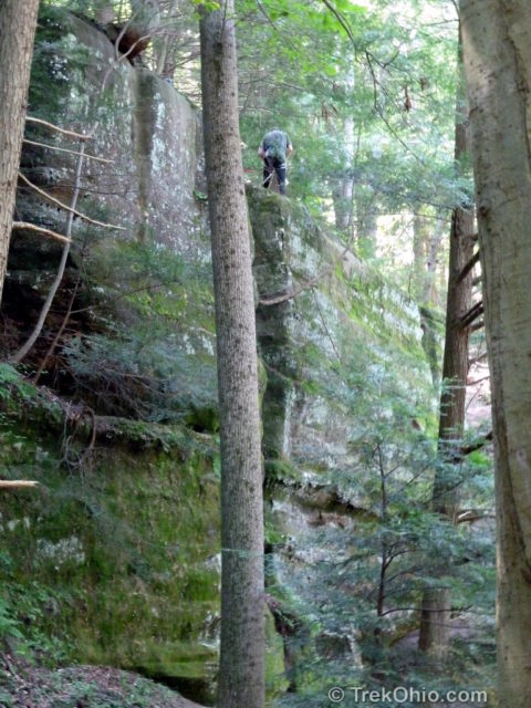
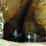
That day we saw three groups of climbers using the cliff face. I’m not a rock climber, but the climbers seemed to be enjoying themselves.
We had started at the gravel parking lot for the Rock Climbing and Rappelling area located on Big Pine Rd (CR-11), a mile east from the entrance for Conkles Hollow State Nature Preserve. Crossing the road toward rock climbing area, you’ll see a picnic area and kiosk and beyond that a foot-bridge made out of an I-beam that spans Pine Creek. On the other side of the bridge, a trail to the east leads to Balanced Rock. Directly ahead is a self-registration kiosk for the rock-climbing area and a trailhead with a sign “Foot Travel Only”. This trail leads to the rock climbing area.
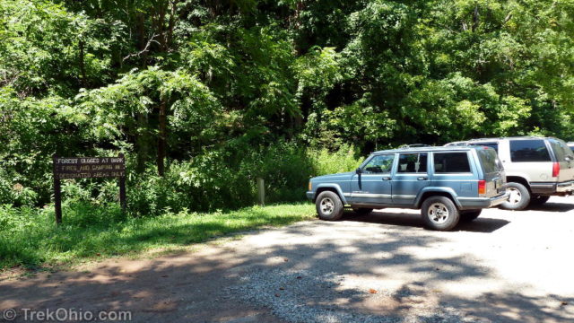
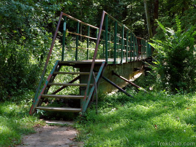
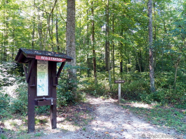
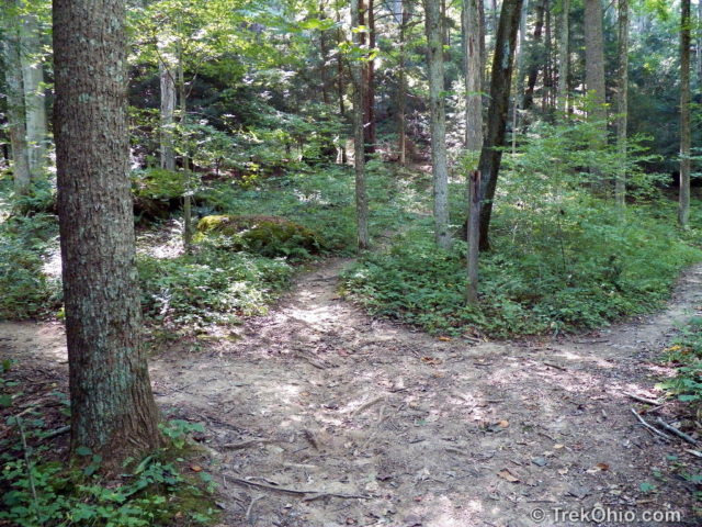
After a short distance on the trail, it forks into three trails. We took the left most trail. This trail climbed steeply up to the exposed cliff face. Near the cliff face we encountered a two-way fork. We followed the one to the left that lead through the a cleft in the cliff then turned and went back to the two-way fork near the cliffs and followed the path to the right along the cliff.
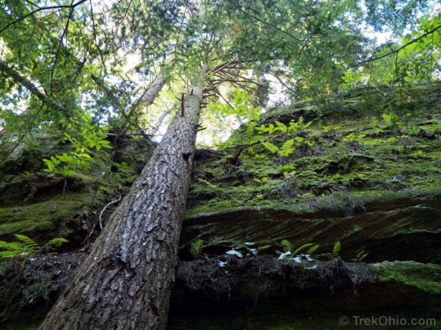
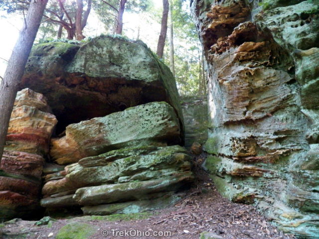
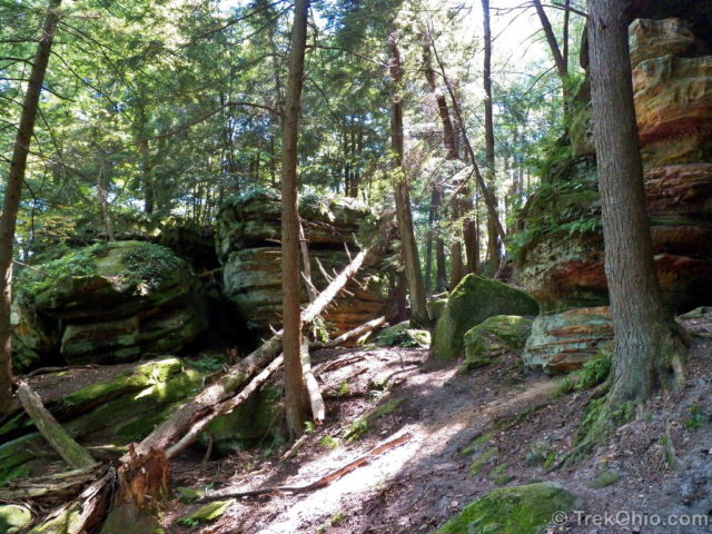
A group of climbers had rigged a rope above the cleft that they were using to cross the gap between the two sections of the cliff thirty feet above us.
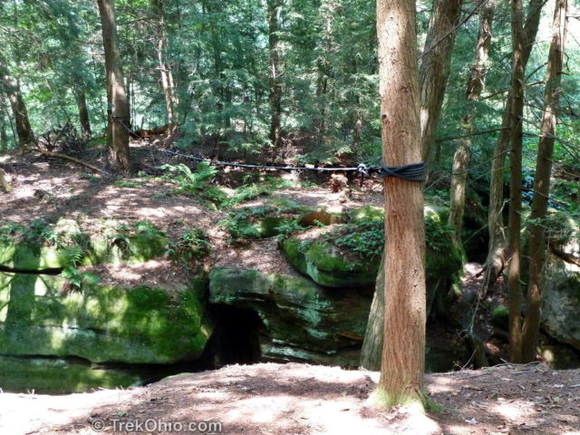
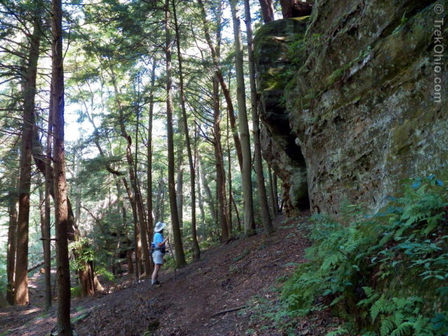
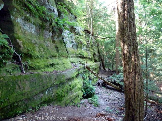
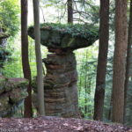
After following the path to the right along the cliff, we walked along the cliff face for half a mile. We saw two additional groups of climbers going up and down ropes extended from the top of the sheer vertical cliff. Large unusually shaped slump blocks towered above the path across from the cliff face.
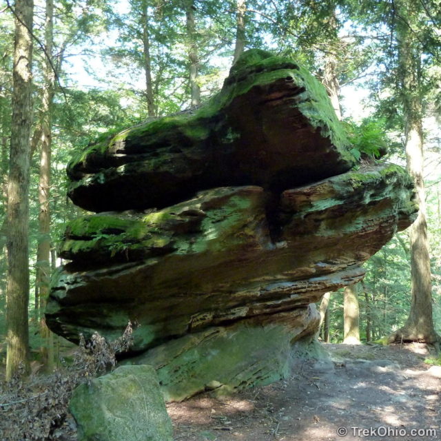
Finally we came to a path leading downward. We followed it, and this path turned out to be the middle trail at the three-way fork. We ignored (for the moment), the right-most trail of the three-way fork and returned to the kiosk.
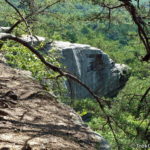
Our original intent had been to visit Balanced Rock, and we finally located the correct trail to Balanced Rock as described in our article. After lunching near Balanced Rock, we continued on the Buckeye Trail (marked with blue blazes). The trail ended up leading to the cliff rim. Following this rim trail we were surprised to end up at the rim above the rock climbing area.
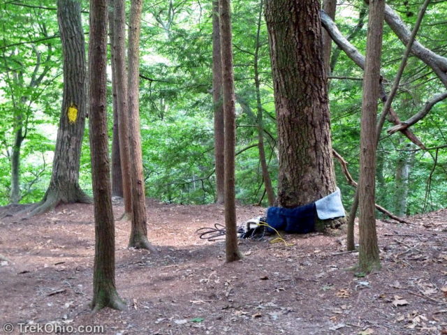
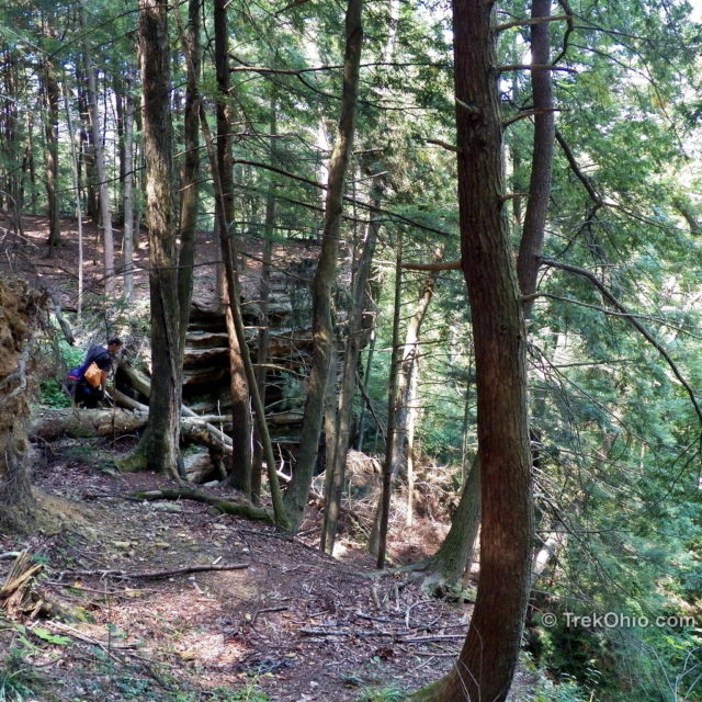
We had planned to return the way we came, a distance of a couple of miles, backtracking to Balanced Rock and eventually to the parking lot. On the cliff rim we encountered a large group of climbers that we’d met earlier at the cliff base. They’d scaled the cliff on its northern end and were now looking for an interesting place to rappel on the southern end of the cliff face. They’d located a walking path down and were sending two younger members of their team to the base of the cliff. They kindly offered to help guide us down the path to the cliff base to save us the long walk back to the parking lot via Balanced Rock.
We followed the climbers down the walking path. It quickly narrowed to a foot-wide ledge with a cliff face on the right side and a sheer drop on the left. I practiced my mantra (“Don’t look down, don’t look down, don’t look down …”) and inched along the ledge. The young climbers proceeded at a leisurely pace, followed by Deb at a somewhat slower pace, followed by me inching along reciting my mantra. The path narrowed a little more. My backpack scraped against the cliff face, and I looked down. Gee that’s an awful long way down, looked like at least four miles straight down, maybe more. ![]()
Anyway, I somehow managed to reach the end of the ledge, which terminated at a rock about six feet above the cliff base. The two climbers and Deb descended it. I awkwardly scrambled down it. We thanked the climbers and were now at the cliff base. ![]()
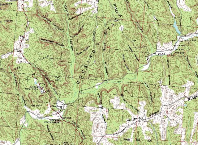
We were now on an irregularly shaped plateau. We were about a hundred feet above the valley with the cliff face on one side, several slump blocks on the other. There was a fairly steep drop to the valley from this point. We finally located a “trail” down and descended to the valley floor and eventually the edge of a small stream. We started to walk parallel to the stream which we knew would eventually lead us to the parking lot, but our “trail” disappeared which left us facing a lot of brush and deadfall to clamber over. At this I fired up a handheld GPS which contained a built-in topo map. It showed that there was a real trail along the base of the hill that we just came down. We headed in that direction and found a narrow trail that skirted the base of the hill. This lead us back to the original three-way trail fork and turned out to be the right-most trail in that fork. We then returned to the parking lot.
If you are an experienced rock climber / rappeller – this is the place! A mile long cliff face perfect for climbing with cracks, chimneys, overhangs and sheer walls provide a variety of challenges. If you’re not experienced, the State Forestry division strongly encourages you to go there with an experienced climber to benefit from his/her advice and guidance. If you don’t intend on climbing, please do not disturb climbers while they are prepping or on the cliff face. Climbing is dangerous and requires considerable concentration.
Additional information
- TrekOhio: Hocking County Parks & Nature Preserves — This is the county where the Rapelling Area is located; check this page out for links to official websites, and for information on nearby parks and preserves.
- TrekOhio: Overview of Hiking Trails in the Hocking Hills
Location
- Address: 24798 Big Pine Rd, Logan, OH 43138
- GPS Coordinates: 39.458883, -82.558517
- Google Maps: View on map or get directions
More on the Hocking State Forest
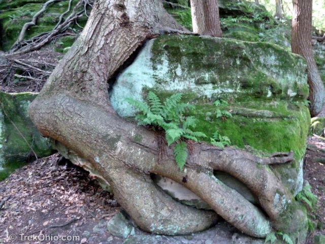
Just lovely… I love the images of the trees — especially of the old “monster” around the rock. AMAZING. Your terrain is fascinating.