Fen habitats are America’s most diverse habitat for vegetation, and many rare plants are found in fens. A fen is a type of wetland formed when water bubbles up from an underlying aquifer via an Artesian well or seep. In the case of Gallagher Fen, the water emerges from a hillside seep because two aquifers intersect nearby increasing the underground water pressure. Since the water is emerging from deep within the earth through limestone gravel dumped by glaciers during the last Ice Age, the water is very alkaline and very cold, about 56 degrees year round.
Although it is a wetland, it is difficult for many plants to absorb the very cold water. So ironically drought-tolerant prairie plants thrive in fen meadows. Many of the plants found in local fens moved into the area when there were glacially fed lakes in Ohio. As the glaciers retreated these plants were unable to tolerate the warmer weather, and they disappeared from Ohio, but pockets of them remained in these scattered fens. Outside of Ohio’s fens you would have to go to northern habitats like northern Michigan or Minnesota to find other representatives of these plant communities.
Bob and I visited Gallagher Fen on April 21st. However most of the plants that thrive in the fen meadow won’t be blooming until later this summer. Nonetheless, why don’t you accompany me for a virtual, springtime walk around the preserve?
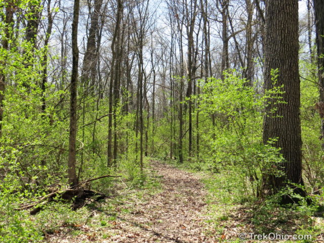
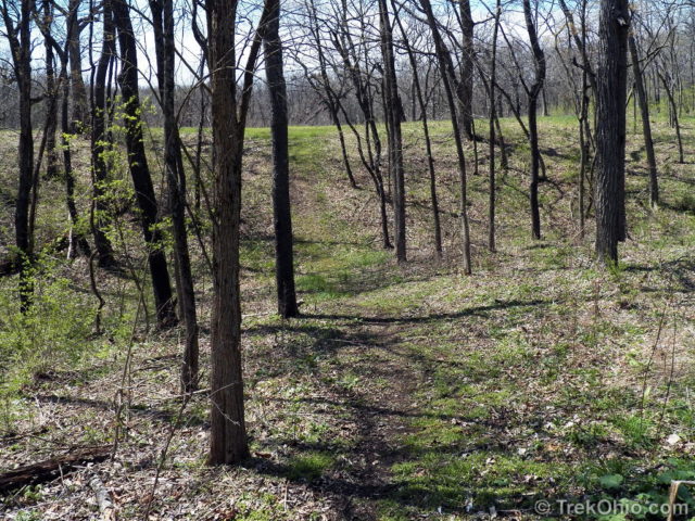
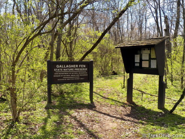
After pulling into a nondescript, gravel driveway and parking on the lawn, we entered into an unmarked trailhead. Soon we encountered a reassuring kiosk that informed us that we really were in Gallagher Fen. The trail is a dirt path leading through the woods for some ways. The weather was beautiful and while strolling through the woods we spotted Eastern Comma butterflies, and Dryad’s saddle (a pretty, sort of fungus) on the trees. There were also tiny, spring flowers along the trail.
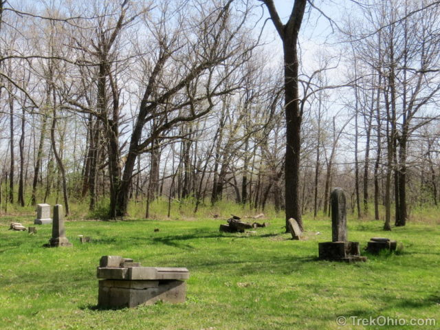
The trail opened onto a pioneer cemetery. The lawn around the memorial stones was well-maintained (particularly nice since it is surrounded by woods), but I was saddened to see that a vandal had broken or toppled a number of stones.
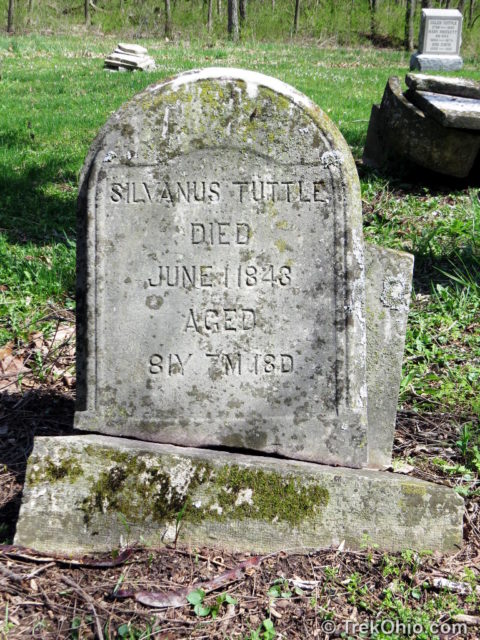
The above stone caught my eye. Silvanus Tuttle would have been 9 years old when the United States declared its independence from Britain and 22 years old when the United States Constitution was ratified. Ohio was part of the western frontier while this was happening. I don’t know if he lived here then, but what an amazing time to have experienced.
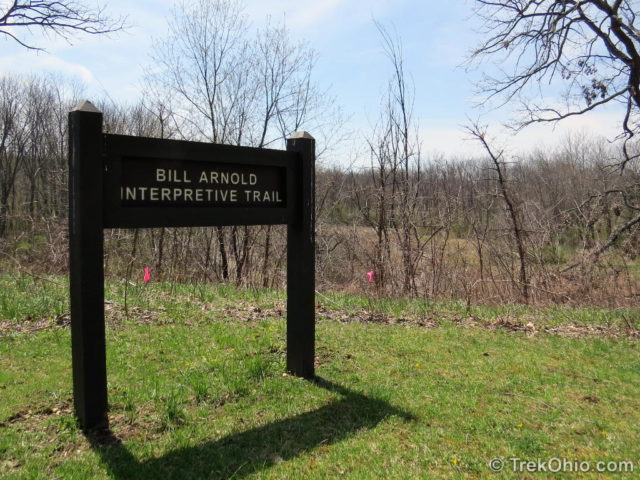
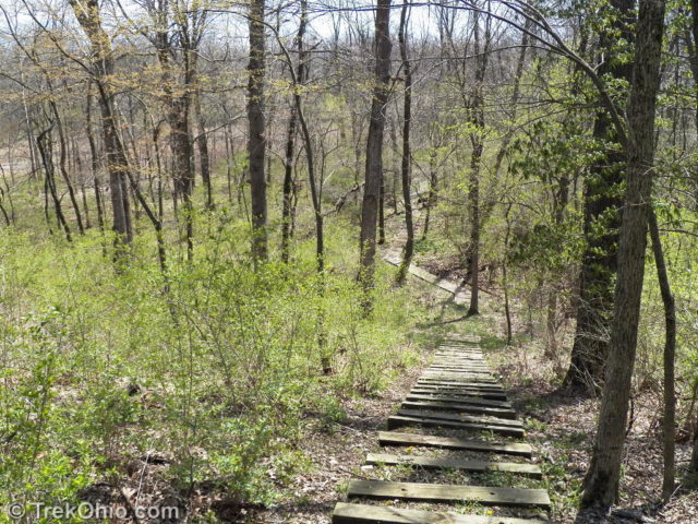
To the west of the cemetery the land rises to a ridge. On the ridge we began to follow the Bill Arnold Interpretive Trail. It took us down a staircase to the fen below. From there we followed a boardwalk around the edge of the fen.
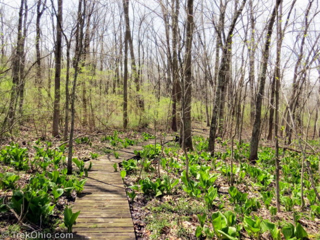
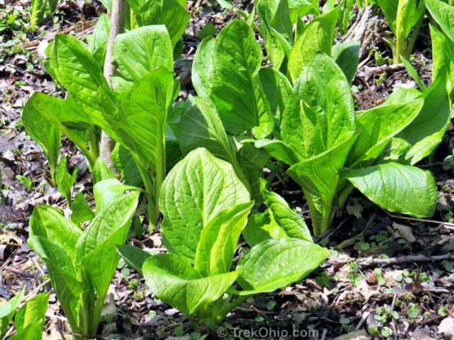
As seen in this article’s topmost photo, there was a lot of leafy, skunk cabbage around the initial portion of the boardwalk.
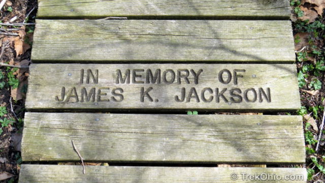
It would appear that the funds for the boardwalk’s construction were raised through donations for memorial planks.
During our April visit we also saw Marsh marigold in bloom near the boardwalk.
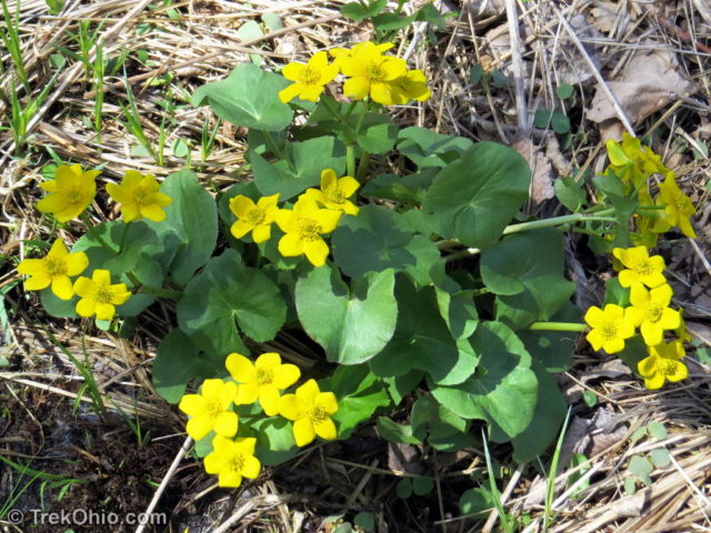
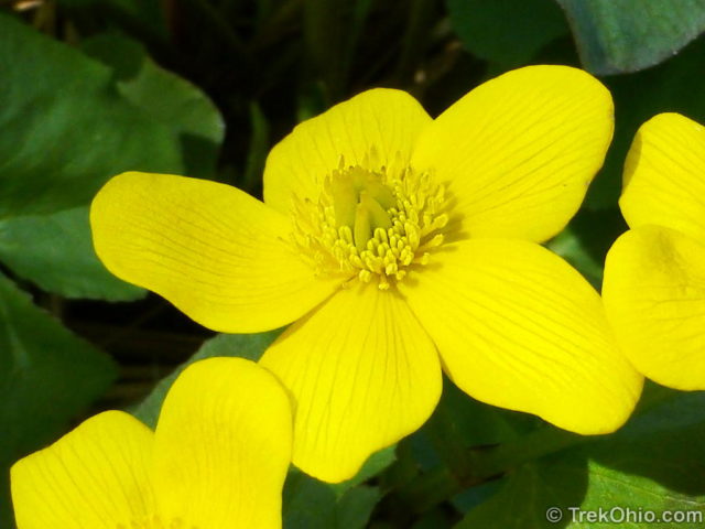
The boardwalk then leads through a shrubby area.
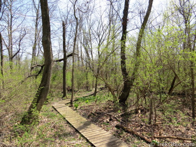
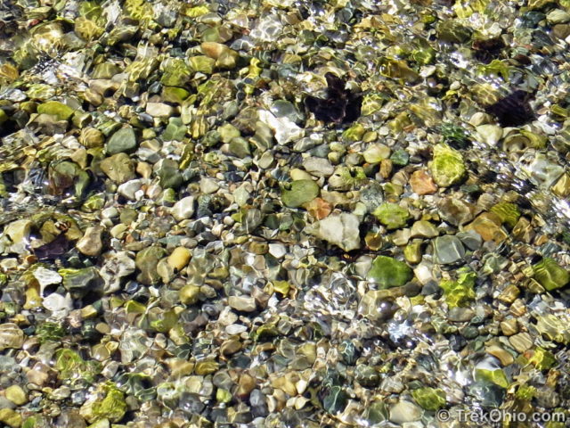
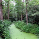
Eventually we came to a place where the boardwalk crosses the fen’s stream. This water seeped from the earth near the hillside that we descended to get to the fen. If wetlands are associated with mucky water in your mind, then you’ll have to think again because this water was crystal clear.
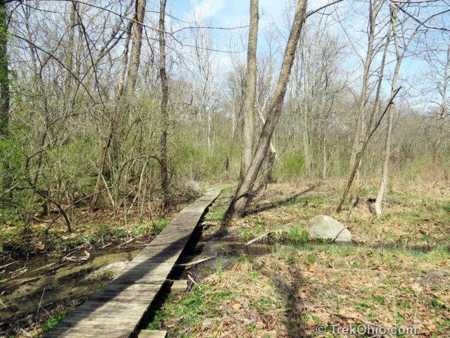
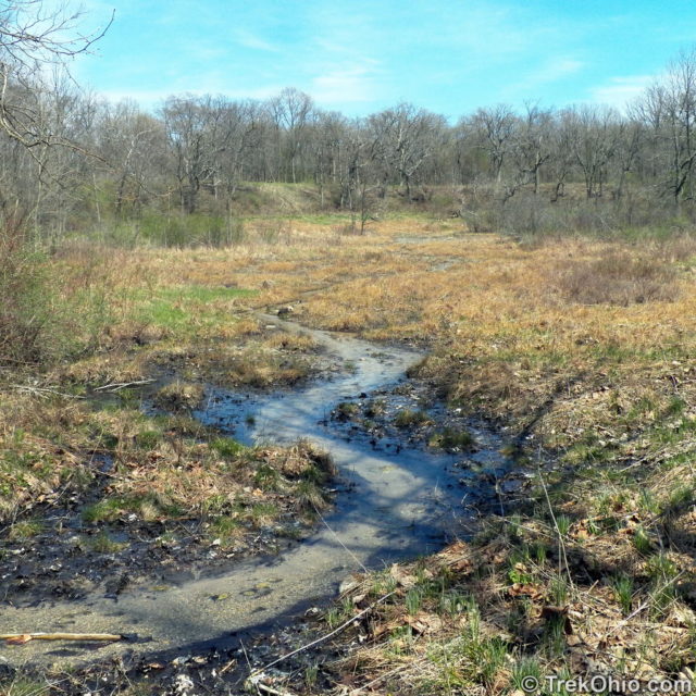
The area where the boardwalk crosses stream is a good vantage point for looking over the fen. During the summer this meadow will green up with sedges and blooming prairie plants.
Shortly after crossing the stream there was a longish climb back to the top of the hill. Thankfully there were stairs.
If you look at the GPS trace of our hike at this point we are finishing up the western loop. It took us back to the cemetery. The mown path was really eye-catching because it was yellow with blooming buttercups. After passing through the cemetery we walked the eastern loop. On the southern portion of the eastern loop we were on a ridgeline above another fen habitat, but the trail never descended into it.
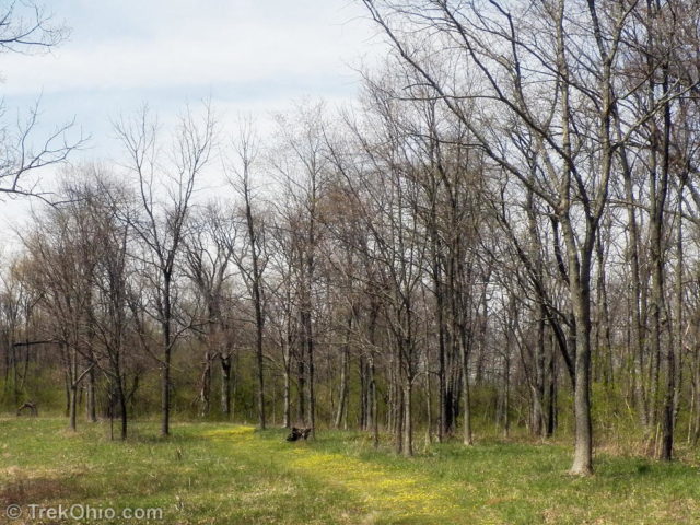
It reminded me of the “Yellow Brick Road.” 🙂
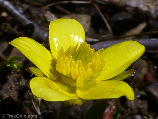
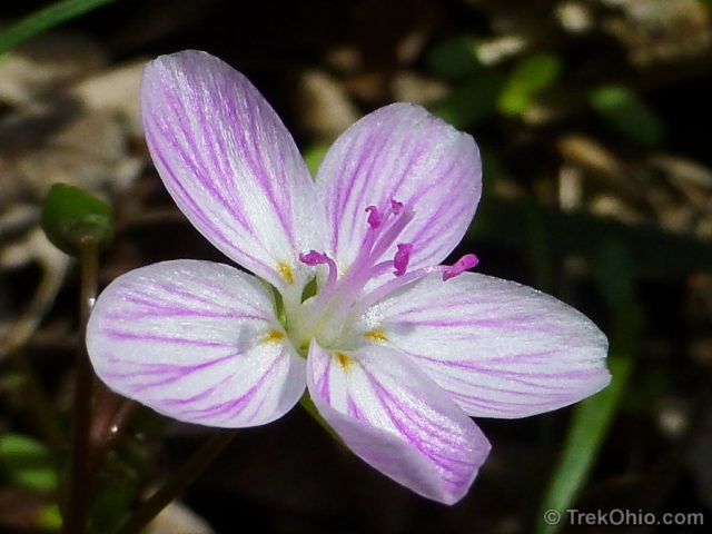
And here are a new of the other plants that we were seeing along the trail in April.
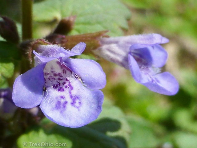
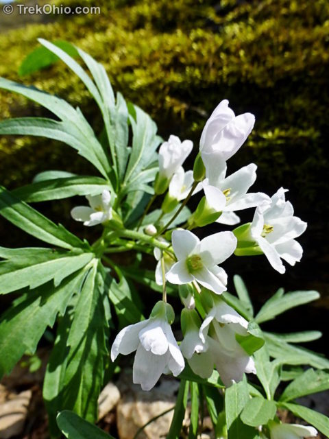
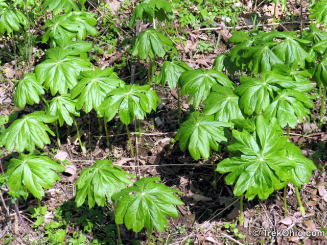
Gallagher Fen State Nature Preserve is named after John Gallagher. He helped to found the Ohio Audubon Council, and he was elected to the presidency of the Clark County Audubon society. John Gallagher was also instrumental in saving Cedar Bog from being destroyed during construction of US-68.
There is a two-part, professionally produced video about Gallagher Fen that I link to in Additional material below. In the videos Pam Bennett of the OSU extension in Clark County interviews Guy Denny, a retired ODNR employee who formerly worked in the Division of Natural Areas and Preserves. Besides discussing this particular fen, they also discuss Ohio fens in general, highlighting the unusual plant species that live there.
Pam Bennett explains in the video that they are seeking volunteers to help keep Gallagher Fen in tip-top shape; the assistance of both individuals and members of service societies are welcome. If you are interested in helping, you can contact her at the Clark County Extension Office, 4400 Gateway Blvd., Suite 104, Springfield, Ohio, or by calling 937-521-3860.
Additional information
- TrekOhio: Clark County Parks & Nature Preserves; this page links to the official site for Gallagher Fen, plus other parks and preserves in the same county.
- TrekOhio: Ohio Summer Flowers at Gallagher Fen
- TrekOhio: Bogged down by wetland terminology; explains the difference between bogs and fens.
- Videos of Pam Bennett interviewing Guy Denny about Gallagher Fen on YouTube: part 1 and part 2
Location
Until recently Gallagher Fen State Nature Preserve required visitors to request a permit. Although it no longer requires a permit, it still has a low profile look that is hard to recognize from the road. There are no signs at the entrance. Instead there is just a short, gravel driveway. Visitors are supposed to keep driving beyond the gravel and park in the lawn. You’ll see a nondescript trailhead at the treeline. Once you follow the trail a short while you soon come to a kiosk that finally announces the preserve.
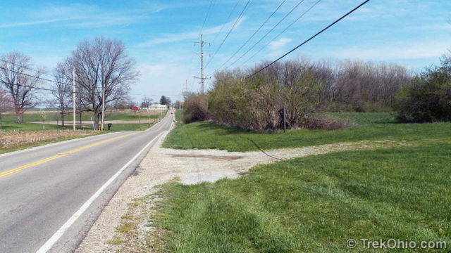
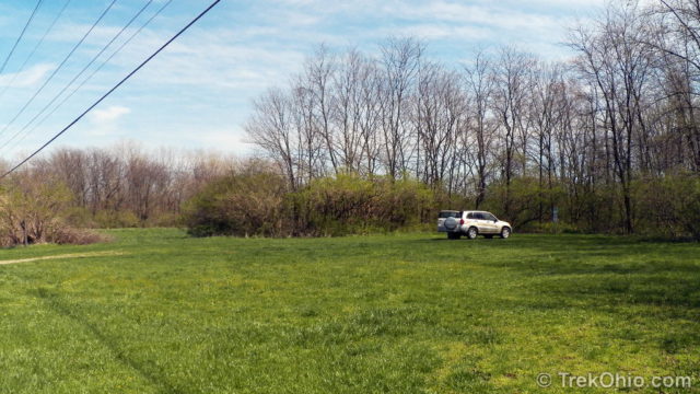
Although the sign says that the preserve is permit-only, that’s no longer the case. We contacted the Ohio Department of Natural Resources (ODNR) to confirm that the preserve is now open to the general public, and we were assured that it is.
Since there is no trail map available on the web, I did a GPS trace while we were hiking. Since I didn’t turn the trace on immediately, the start and end points are at different spots. Including retracing the initial trailhead, the hike was between 1.75 and 2 miles in distance. The trace looks a little like an upside down bow. The cemetery is where the bow’s “knot” is. The loop on the left (west) is where the bowl is that contains the fen. The southern portion of this loop includes the boardwalk that leads through the fen. The loop on the right (east) follows a ridge above additional fen habitat, but unlike the western portion, the trail never descends into the fen.
The preserve is east of Springfield, located to the south of Old Columbus Road, between Bird Road and Redmond Road. You can get directions to Gallagher Fen from your point of origin by using the Google Map below. Click the link immediately below the map to view this location at the Google Map Site.
More on Clark County
Nice post. Just one correction though. The cemetery is known as “Sinking Creek Cemetery”. The closest “Pioneer Cemetery” is about 25 miles from here.
I grew up in this area. I loved exploring it as a kid. It seems odd to see it so well maintained, and with a boardwalk, but I’m glad it was done for others to enjoy.
What would be the best month to visit. And once again thanks Deb!
We just went here on Sunday while visiting Buck Creek. We’re from Indiana and found this little gem. I’d never been to a fen before and what a delight! I definitely want to visit here again…and again!
It is always a great joy to visit Your great posts. To me they offer lovely surprises from Your nature. My mind was delighted from the photo presenting Claytonia virginica – so beautiful flower.
It’s those little-known, out-of-the-way places that are the best.
I hope I can make it back here in the summer. I’d love to see the fen meadow in bloom.
Beautiful photos and writing…as always!
Thank you, Carol. What a sweet thing to say. 🙂
Excellent recap of a truly remarkable site. That is the kind of park that I would love 12 months of the year – but it must be REALLY special in summer. Kudos!
Thanks, jimbey! It’s a bit of a drive for us, but I’m really hoping we can stop by at least once this summer. It sounds like I would see wildflowers there that I wouldn’t see at all otherwise.
OK….Don’t go telling everyone about my secret place! 😉 I love Gallagher. I live a couple of miles from there and venture through the area many times throughout the year. The summer wildflowers are spectacular as well as the fall tree colors. Many of the images on my Blog and photo web site were taken there. It is one of the area’s best kept secrets. I hardly ever see anyone else there.
Well we can always hope that no one reads this article. 😉
I really enjoyed our visit to Gallagher Fen. Since we live in central Ohio, it’s a bit out of the way for us to become regulars. But I’d definitely like to come back at least once this summer to see the fen meadow in bloom.
I did take a look at your blog, and I liked your photographic work. I thought this photo of the Blackberry Lily was beautiful.
Thank you Deb! Last year was the first time I have ever seen Blackberry Lilies. Not sure if I’ve just over-looked them (not sure how!) or just haven’t been in the right spot at the right time. They were awesome at Gallagher last year!!!!