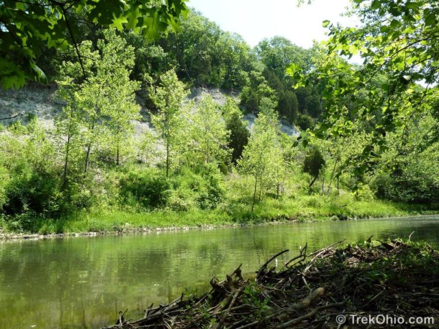
Caesar Creek Gorge State Nature Preserve is located in Oregonia, Ohio just west of Caesar Creek State Park and Caesar Creek Wilderness Area. The nature preserve is downstream from the dam located within the state park. We decided to hike the 2.25-mile trail at Caesar Creek Gorge State Nature Preserve because the preserve’s official site stated that the cliff walls making up the gorge rise some 180 feet (54.9 m) above Caesar Creek. The cliffs were formed when huge volumes of torrential, meltwater eroded the limestone bedrock at the end of the last ice age. Now a gently flowing creek traverses this scenic, forested gorge.
The nature preserve contains a parking lot (no restrooms) with the trailhead located to the left of the entrance. The day we were there, the parking lot was being used by cyclists who were setting out on the adjacent Little Miami Scenic Trail — a bike trail that extends from Newton (near Cincinnati) to Urbana. The nature preserve’s parking lot is near the midpoint of the 85-mile bike trail (137 km). However we had parked there to enjoy the nature preserve itself, so with that in mind we entered the trailhead and soon came across a kiosk describing the trail as a teardrop-shaped loop.
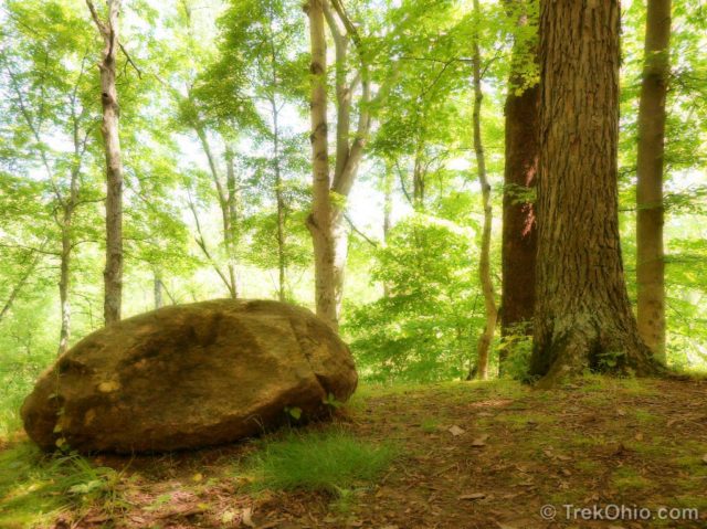
We walked down towards the creek and passed a patch of fruit-bearing mayapples. Then we crossed a small bridge over a stream to the creek edge.

The path follows along the creek for some distance. The valley is heavily forested, and the path is very shady. Due to the surrounding foliage we were unable to see the cliff walls for the vast majority of the trail. Periodically there were small side trails leading over to the creek so we could at least take a peek at the creek. But it was usually the case that the trees on the other side of the creek obscured our view of the cliffs… if there were cliffs behind them. However one of these side trails did lead us to a point where the cliffs were visible. Considering this was one of many side trails, and it was the only one from which we could see the cliffs, I think it would be entirely possible to hike this trail and not see the cliffs at all — which would be a shame. It might be better to come here early spring or late fall when there would be less foliage to block your view.
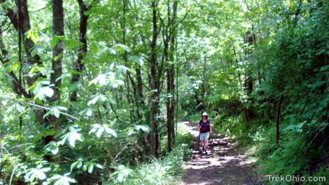
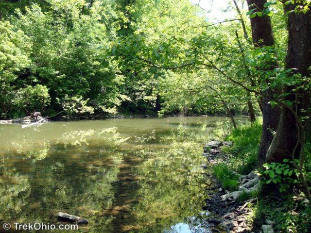
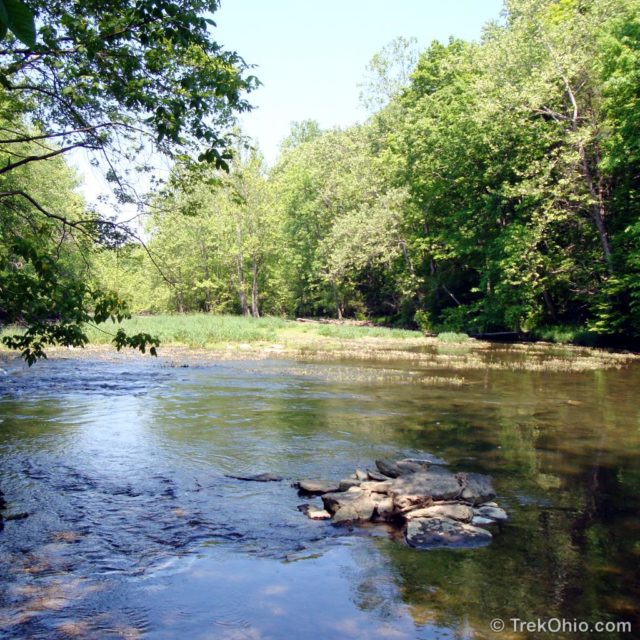
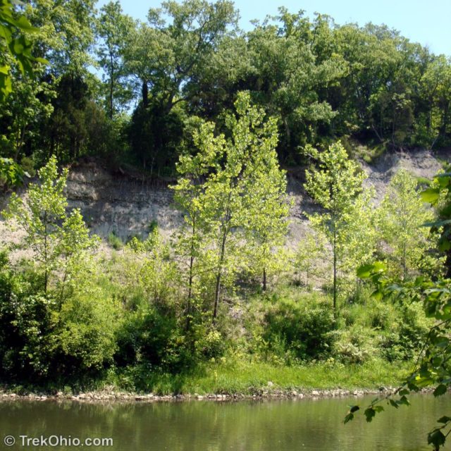
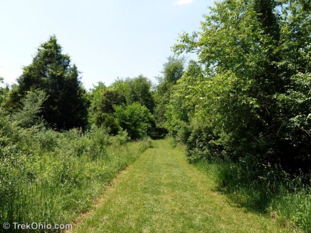
Eventually, the path veers to the right up and away from the creek. A short but steep climb takes you back up to the gorge rim. A series of mown paths lead you back to the kiosk and then to the parking lot.
Wildflowers
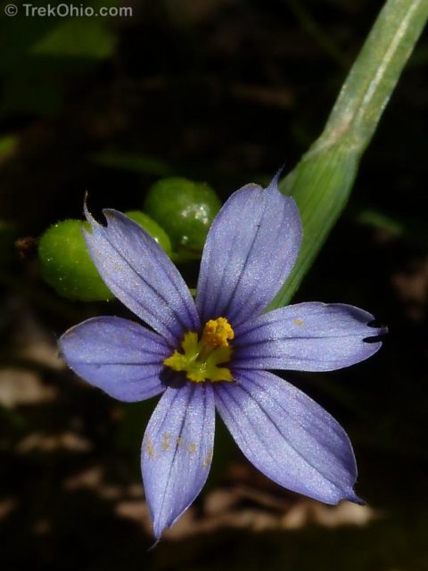
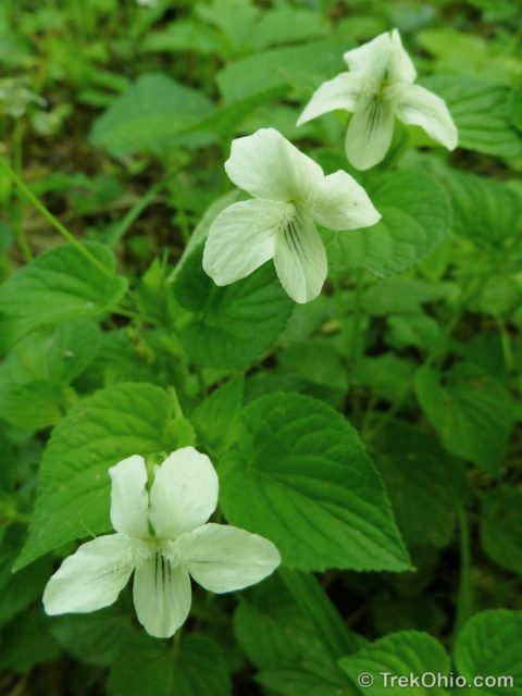
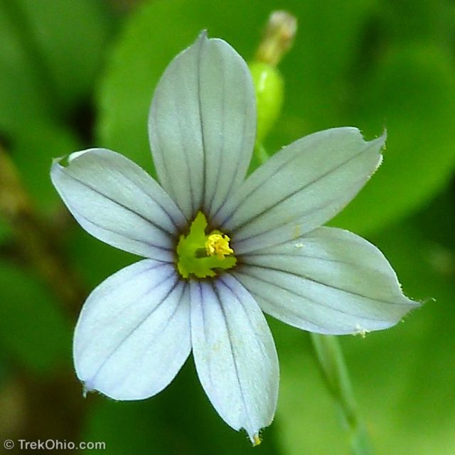
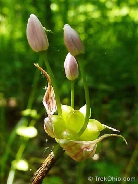
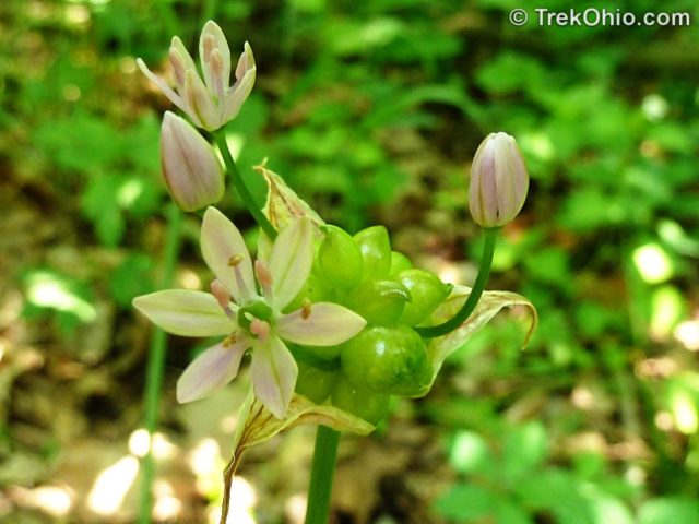
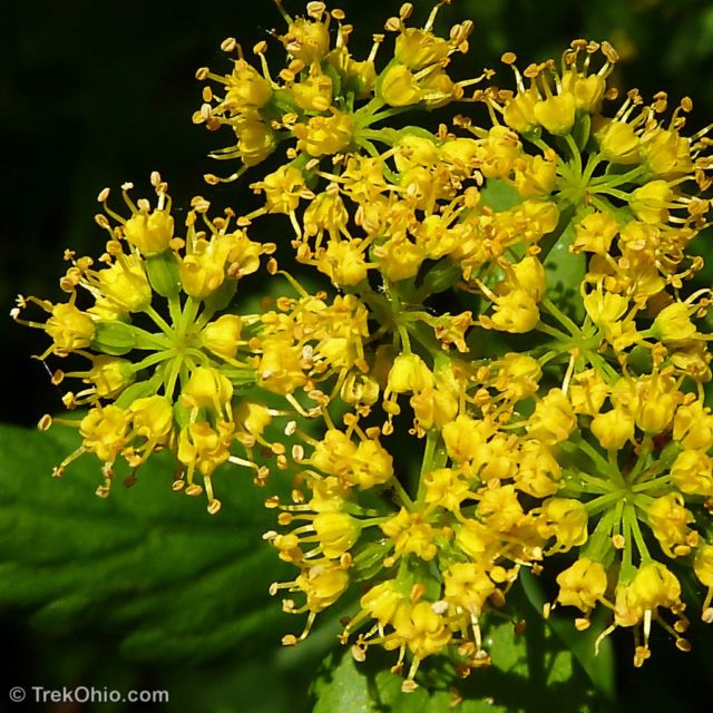
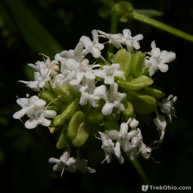
Since lush vegetation was obscuring our vision of the creek and the cliffs during this hike, Deb decided to focus on the vegetation itself. Here are some of the wildflowers that she saw.


Aside
I thought it was odd that this North American creek had been named, “Caesar”, but there’s an interesting story behind that. Back when there was still slavery in the United States, a family was moving by boat on the Ohio River. A raiding party of Shawnee Indians captured and adopted the family’s young, black slave, Caesar. Eventually the land around this creek came to be Caesar’s hunting grounds as a member of the Shawnee tribe.
Additional information
- TrekOhio: Warren County Parks & Nature Preserves; this is the county where the Caesar Creek State Nature Preserve is located. Check out this page to find a link to the preserve’s official website and to learn of nearby parks and preserves.
- TrekOhio: Caesar Creek State Park — this state park is nearby.
- TrekOhio: Licensed to Hunt Fossils — a fun activity in nearby Caesar Creek State Park.
Location
More on Warren County


Your “bug” is a tiger beetle-they’re gorgeous, aren’t they? Love your pictures!
Karen, you’re right… that was a green tiger beetle. We saw quite a few of them, but they were darting around so much they were difficult to photograph.
Thanks so much for your kind words about the photos. 🙂