In April we drove to Caesar Creek State Park to visit a new pedestrian suspension bridge and two waterfalls. Our hikes consisted of two segments on the southern portion of the Perimeter Loop Trail. The yellow-blazed Perimeter Loop Trail is an 11.5 mile loop trail on either side of Caesar Creek Lake. The northern and southern routes are connected by a bridge on one end and Caesar Creek Dam on the other.
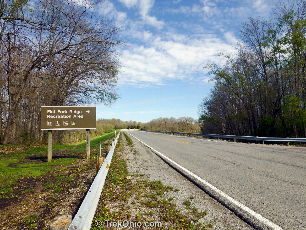
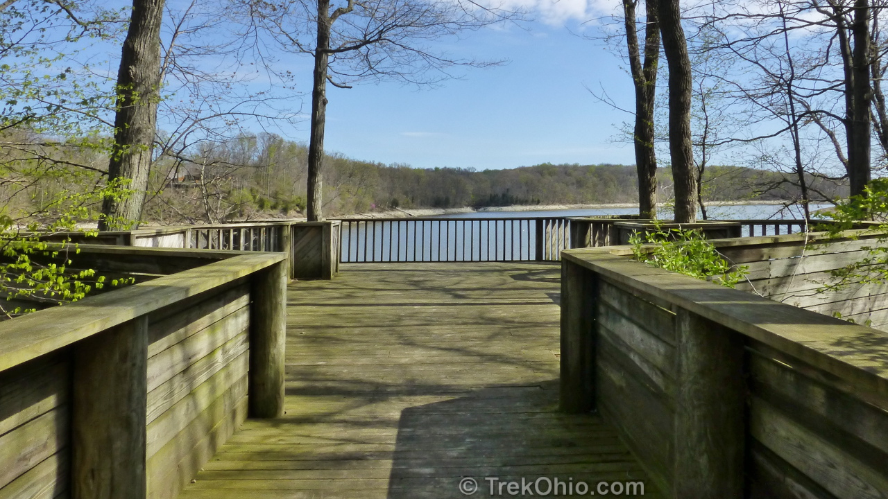
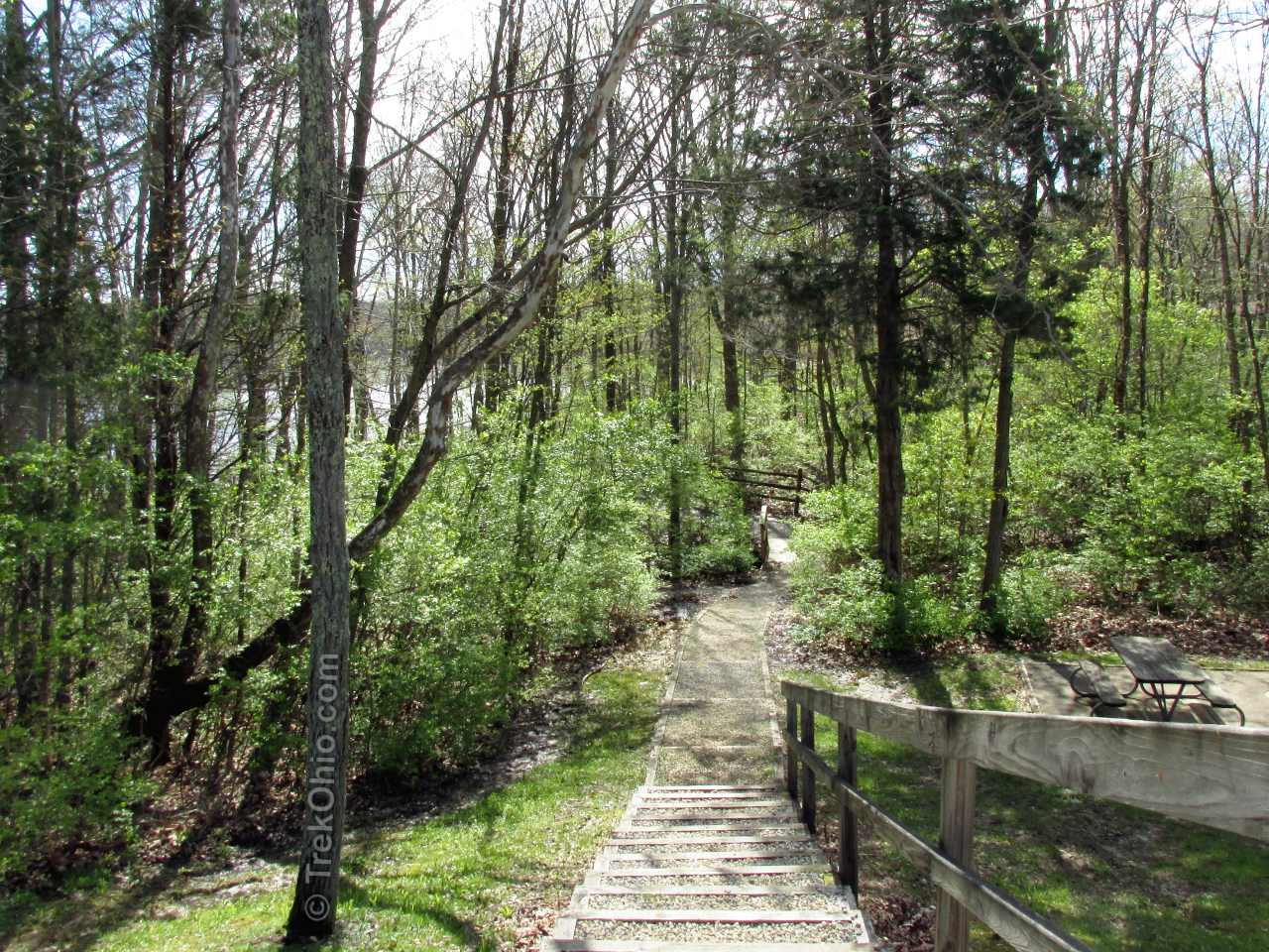
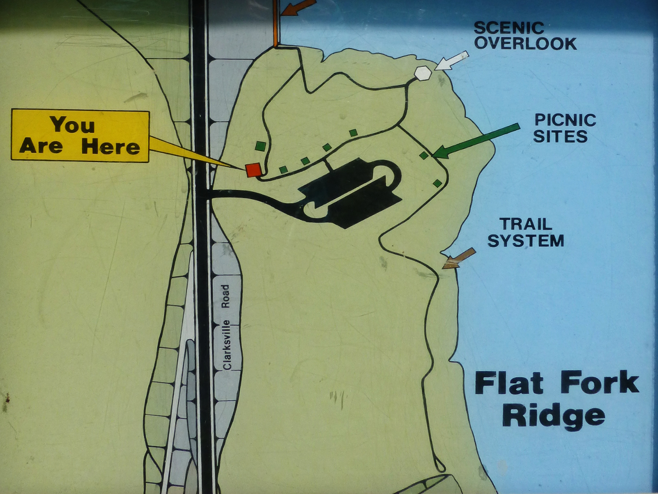
Our first hike started at the Flat Fork Ridge Recreation Area located on Clarksville Rd beyond the emergency spillway, but just before the dam (and the Visitor Center). The picnic area features a scenic overlook of the lake, a children’s playground, picnic tables, ample parking, and restrooms. The trail-head is located off the main parking area with stairs descending to the trail.

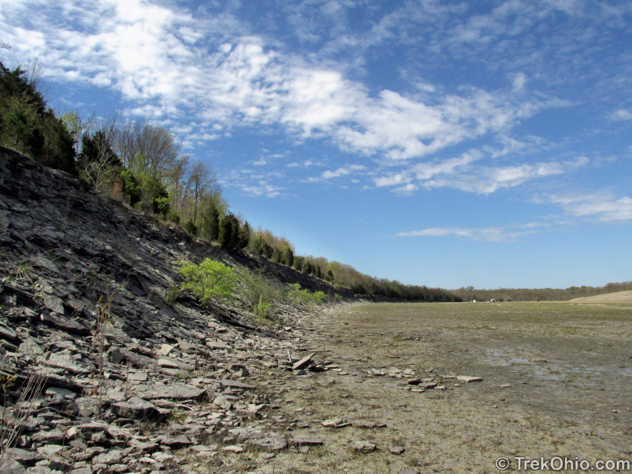
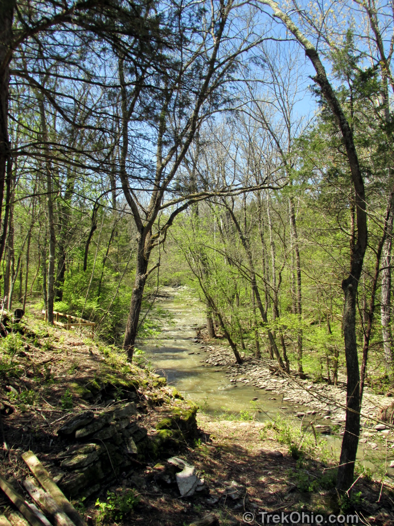
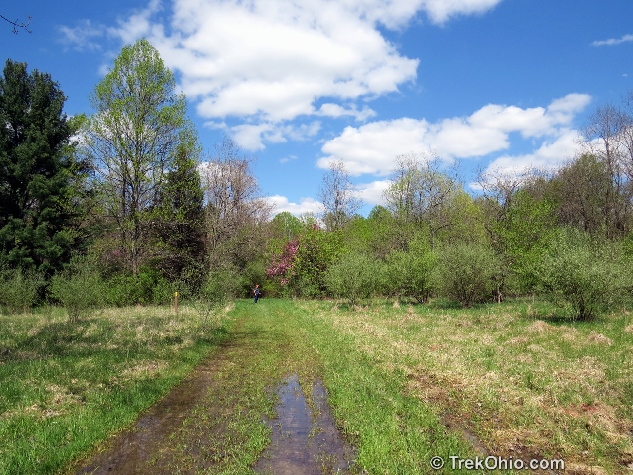
The trail paralleled the lake for a ways, then passed through the emergency spillway. The excavation that created the spillway also exposed a large number of ancient fossils. These fossils were created millions of years ago when this land was the seabed of a shallow sea. You can obtain a free license to go fossil hunting in the spillway by requesting one at the visitor center. After the spillway the path splits with one path following along a stream-fed inlet to the lake, while the other goes up to the top of a ridge-line overlooking the inlet. The two paths join together later. We took the ridge-line on the way out and the lower path on the way back.

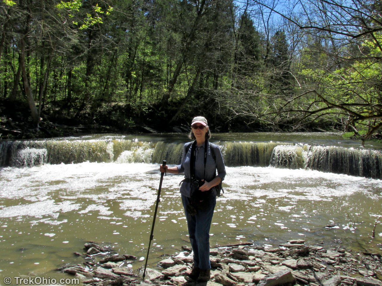
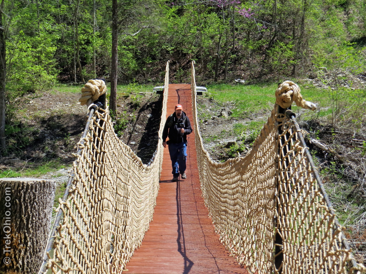
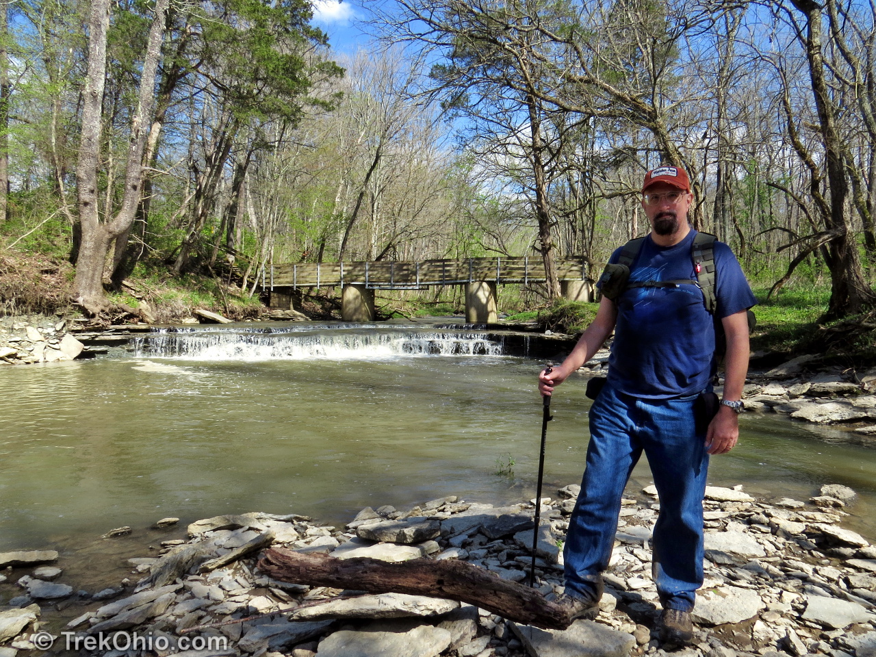
We eventually heard a roar of water and could see our destination – Horseshoe Falls in the distance. The path continues past the falls and crosses the Flat Fork Creek on a newly built suspension bridge.
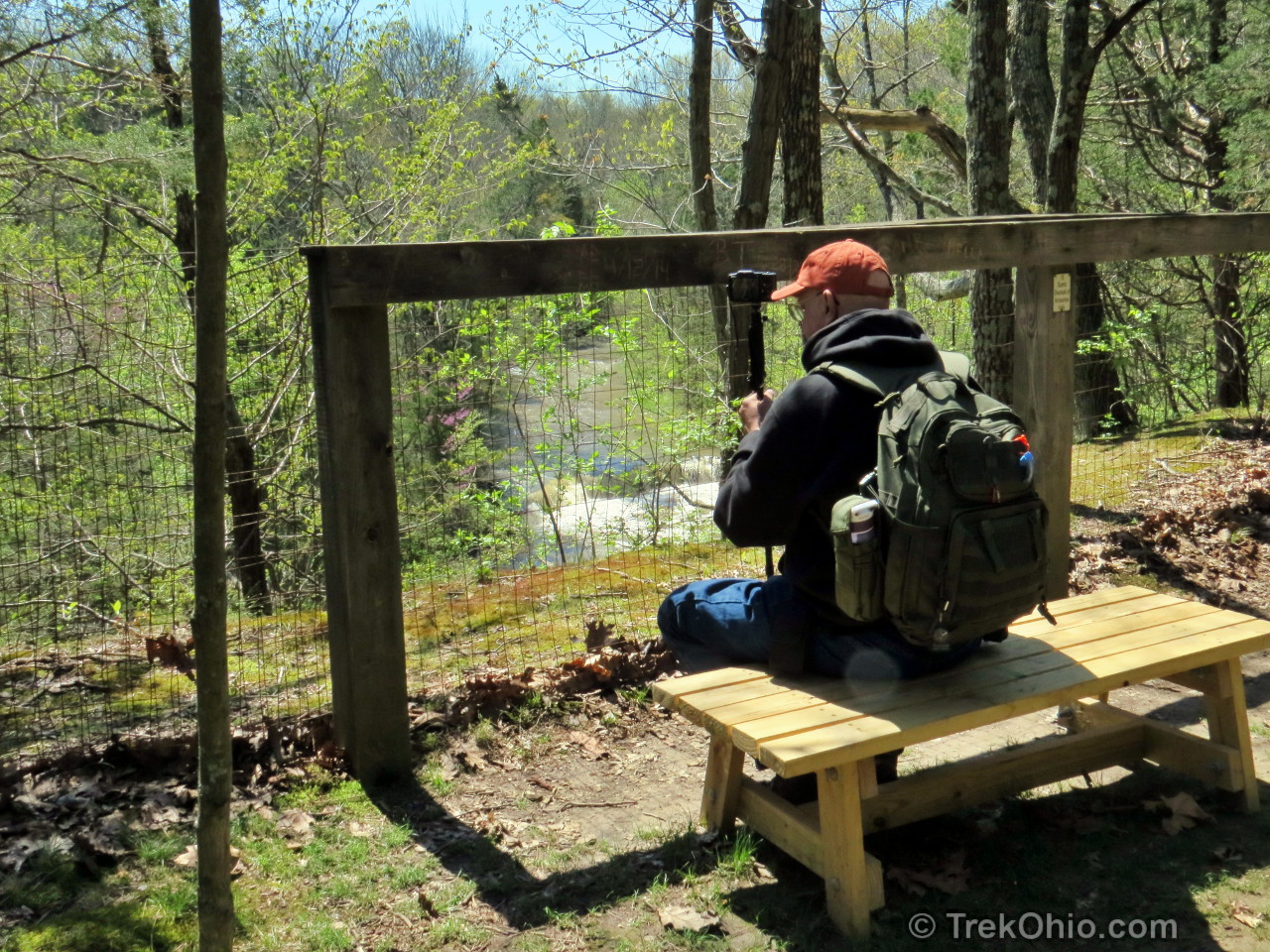

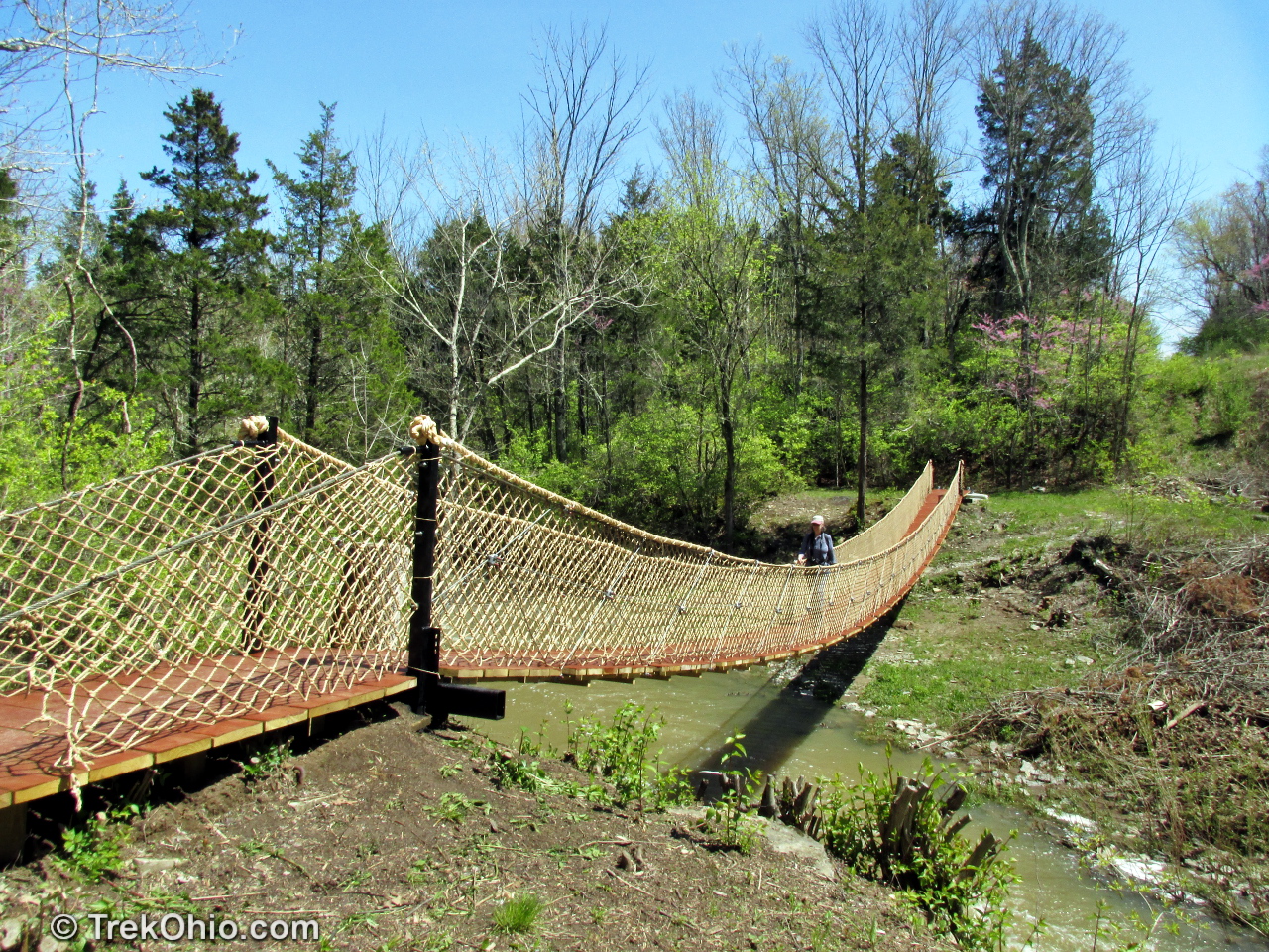
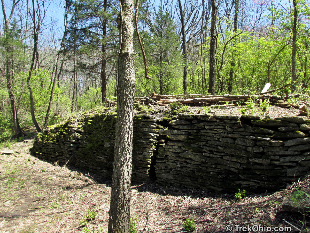
After the suspension bridge the trail forks with one path leading to the Wellman Meadow Picnic Area and boat ramp, while the other leads to a site that allows you to view the waterfall from the opposite side of Flat Fork Creek. Just beyond the falls are the remnants of an old grist mill. We went a bit beyond that point just for the exercise. I should note that the path to Wellman Meadow and the path to the Grist Mill do join together a little later (as you can see on the map).
Round trip from Flat Fork Ridge Recreation Area to the suspension bridge and Horseshoe Falls is a couple of miles. On the map shown below we went a little farther than that.
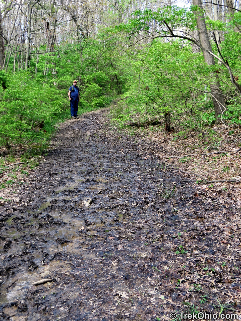
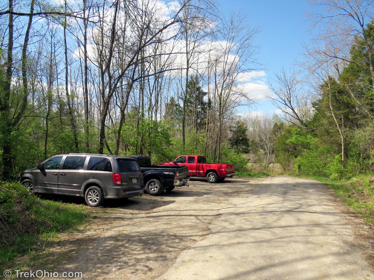
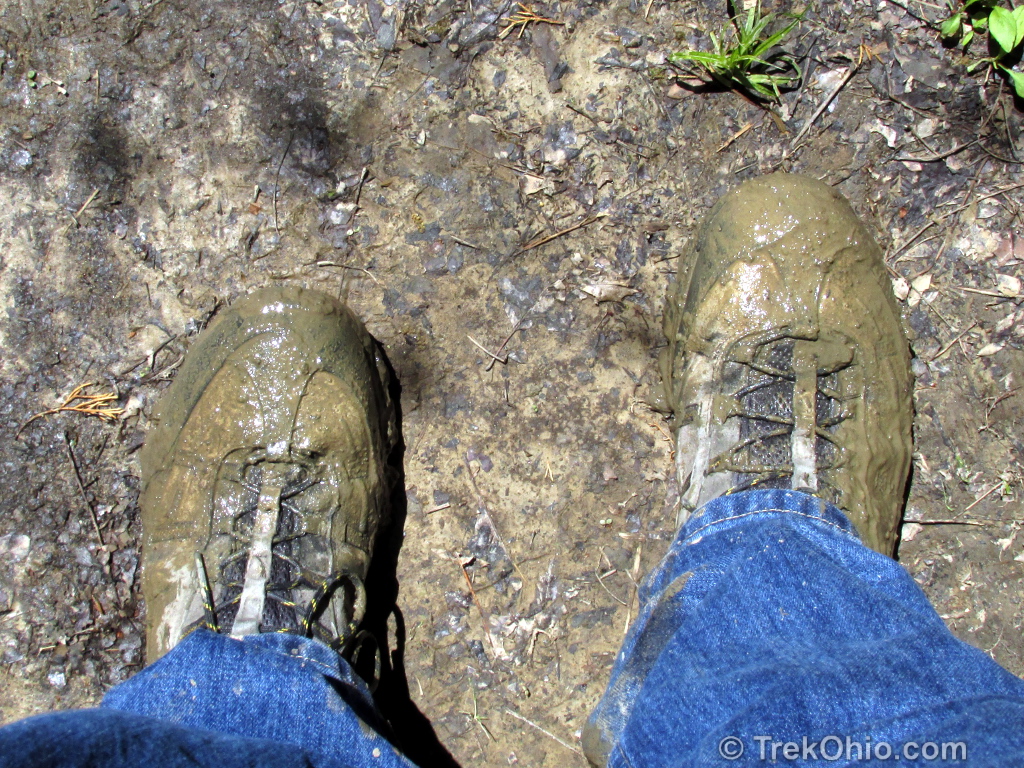
After we returned to our car we drove to a small parking lot by Pioneer Village and across from the entrance to the nature center. We walked up the road to a trailhead and headed east on the Perimeter Trail. April is wildflower season, waterfall season, and mud season. We walked about a mile on the trail and encountered a lot of mud. Eventually we arrived at Lukens Road. The trail turned left and we walked down Lukens Road to a parking area at the end and then turned right back onto the Perimeter trail. To view Crawdad Falls without doing as much hiking, you can simply drive your car to the end of Lukens Road, but Lukens Road is narrow with many deep potholes, so drive carefully.
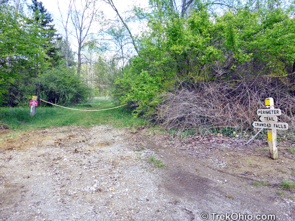
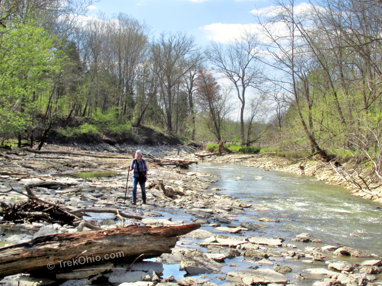
A short distance from the Lukens Road lot we could hear the sound of Crawdad Falls. We walked on stones in the creek known as Jonah’s Run to view the falls head on, but a trail adjacent to the creek also provides a good view. Finally we hiked (through the mud) back to our car. Our shoes and clothing were muddy, but our cameras were full of photos and we had a great time.

Although both Horseshoe and Crawdad Falls are attractive, the water in both falls only drops about three feet to the surface of the water below.
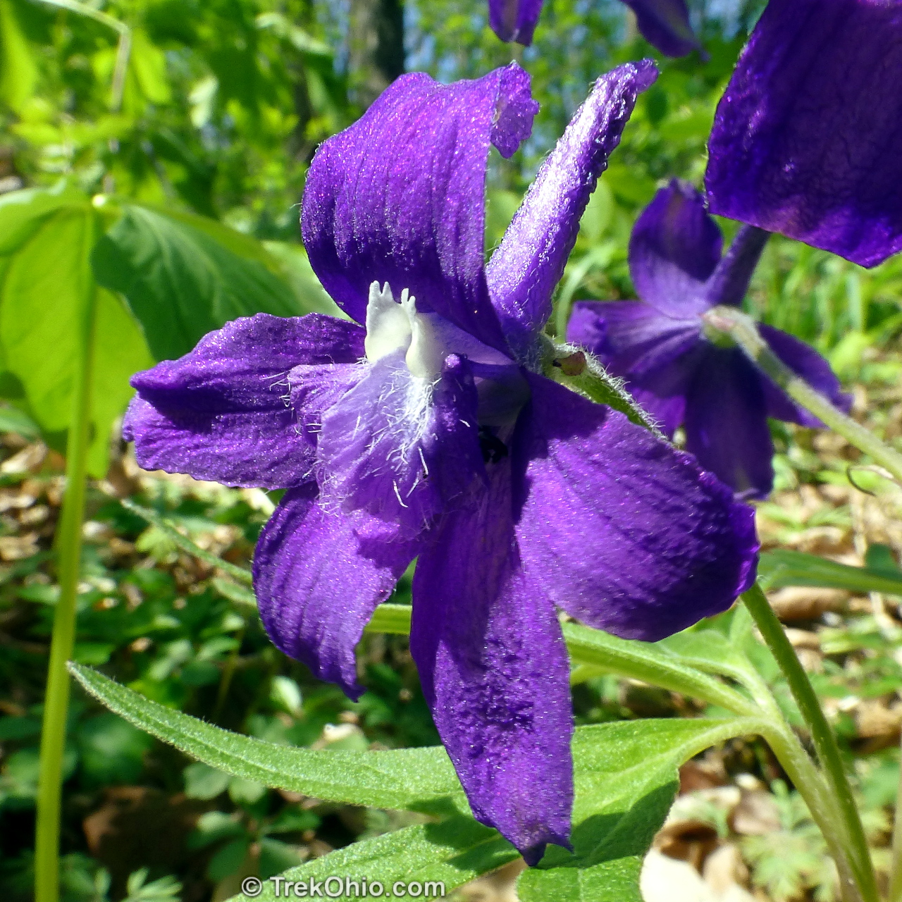
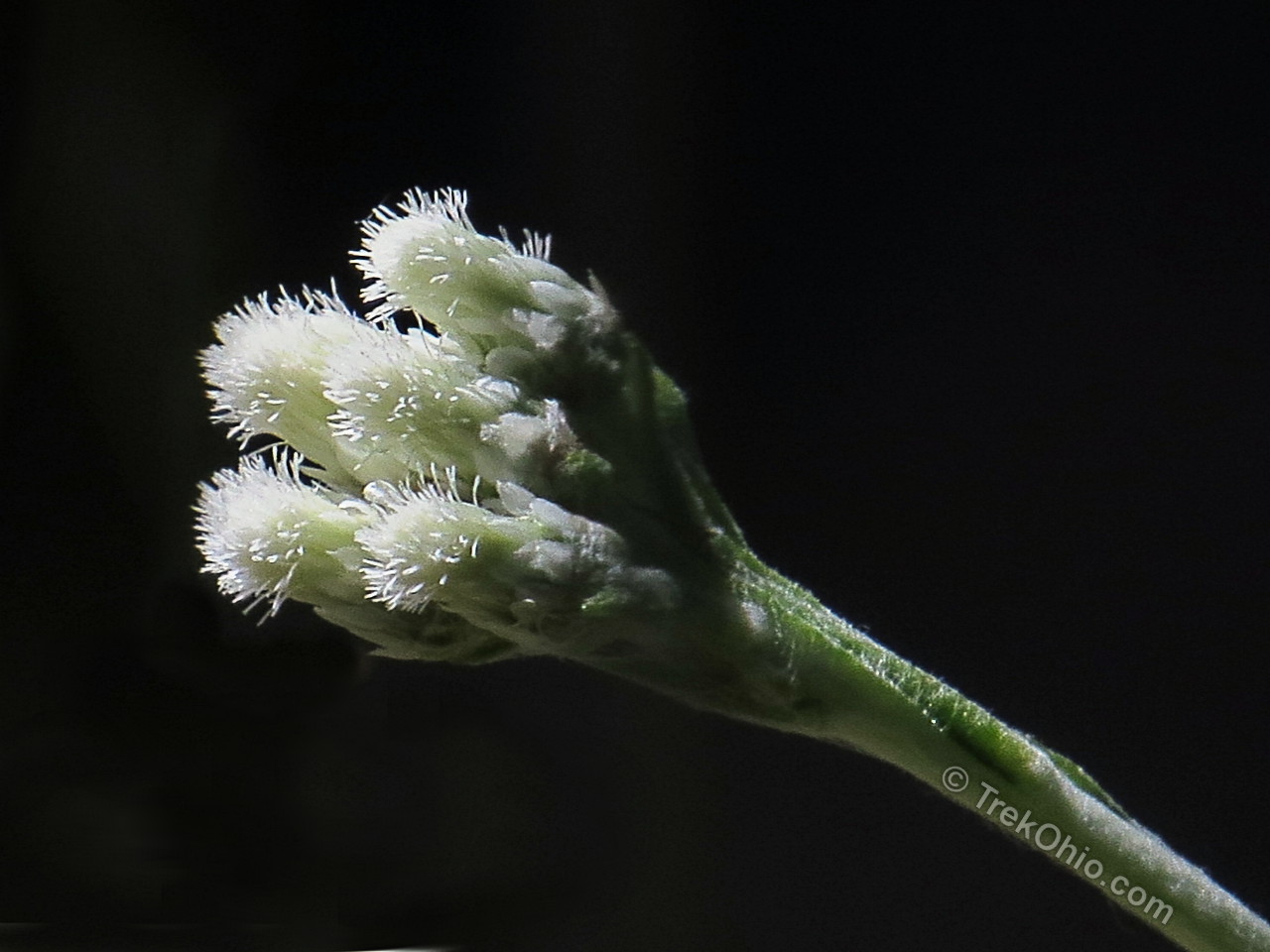
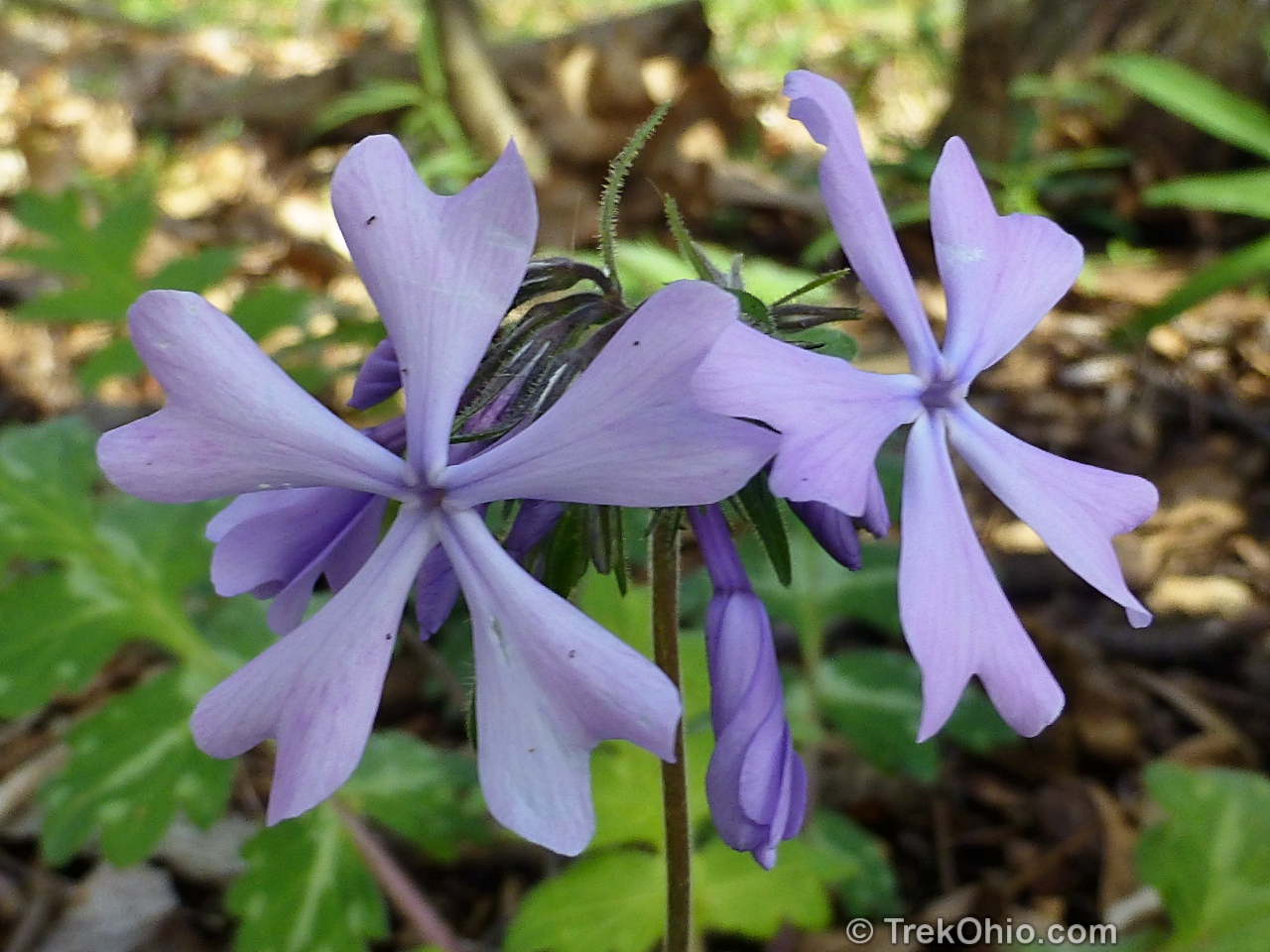
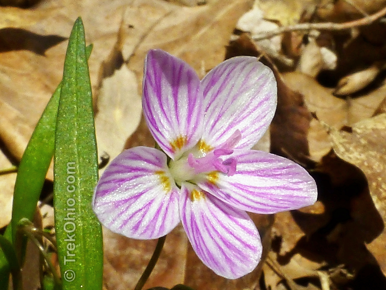
In addition to enjoying the waterfalls and the new suspension bridge, Deb looked for spring wildflowers along the trail. Below are a few that she saw.


Maps
Below is a GPS Trace of our hike to Crawdad Falls.
Below is a GPS Trace to Horseshoe Falls & Beyond.
Additional information
- TrekOhio: Caesar Creek State Park — This is an overview of the park, including location information.
- TrekOhio: Caesar Creek Gorge State Nature Preserve – the nearby nature preserve
- TrekOhio: Licensed to Hunt Fossils – Deb’s fossil hunting adventures at Caesar Creek
- TrekOhio: Warren County Parks & Preserves
Thank you for this detailed post! Last night was our first time on this trail and having two 4yr olds and a 5 month old, we wanted to make sure we were going the right way. I opened up this post and read it numerous times to make sure we were on the right path and it was so helpful!
I’m pleased the article was useful to you.
Great post! Lovely photos of the flowers-pussytoes is a new one for me… 🙂
Thank you, Karen. The pussytoes in this post are kind of over-exposed. Just this past weekend I was able to photograph some that were in a shaded area, and they can be viewed a lot better.