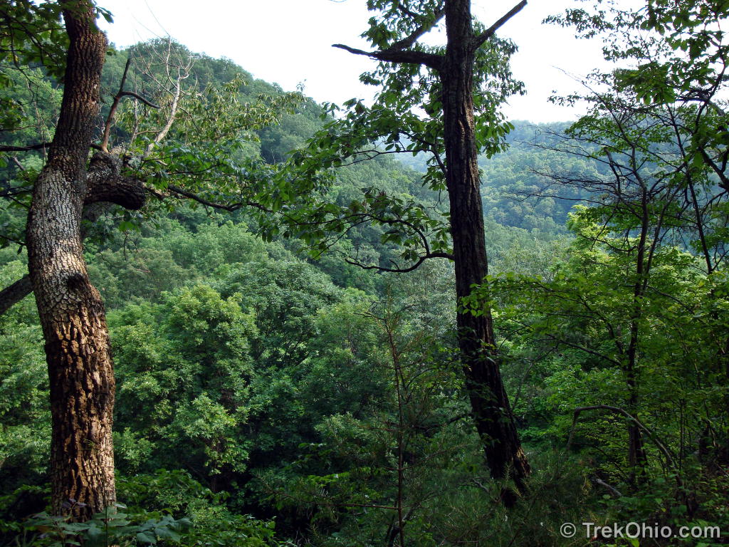
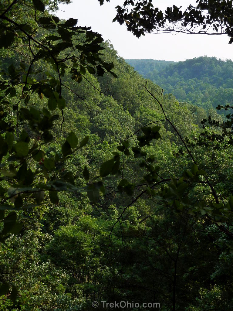
The Earl H Barnhart “Buzzards Roost” Nature Preserve is a large (1330 acres) preserve run by Ross County Park district. We visited in the early afternoon on a hot sunny day in late May. The preserve is on a plateau that ends in a cliff overlooking the Paint Creek valley.
There’s so little information about this nature preserve online that we are including more than the usual number of photos to give prospective hikers a better idea of what it’s like.
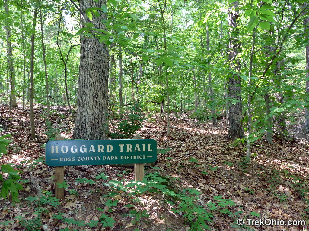
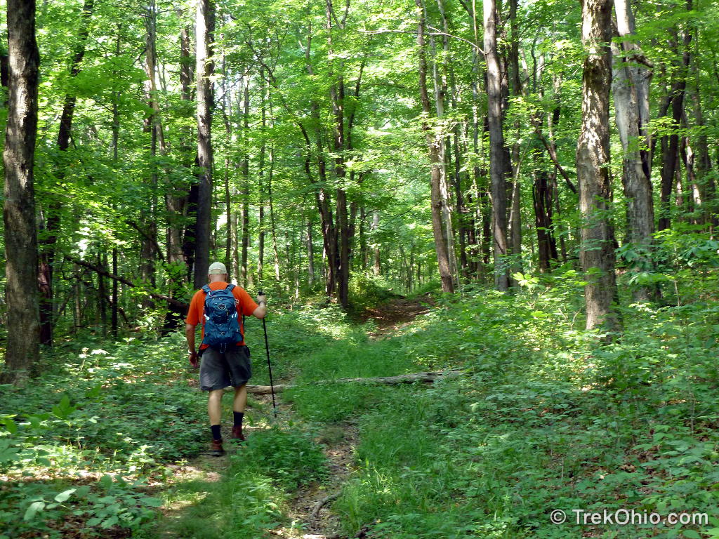
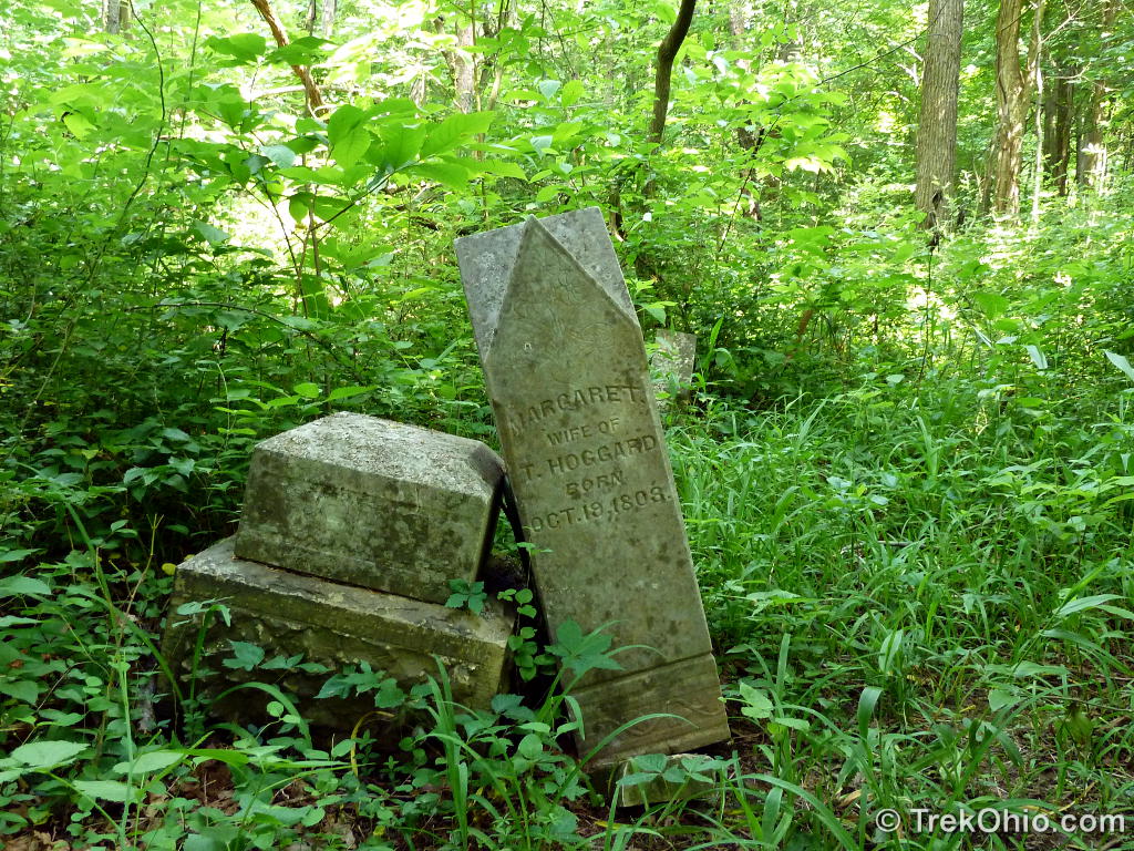
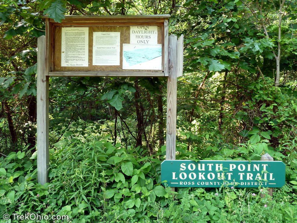
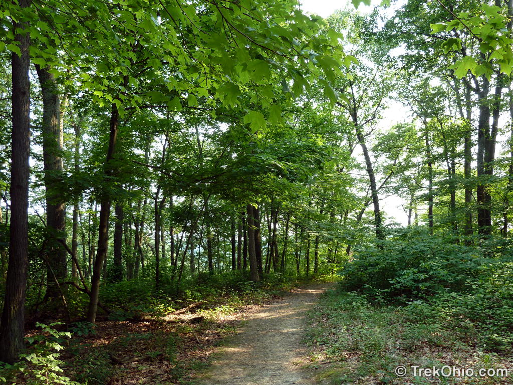
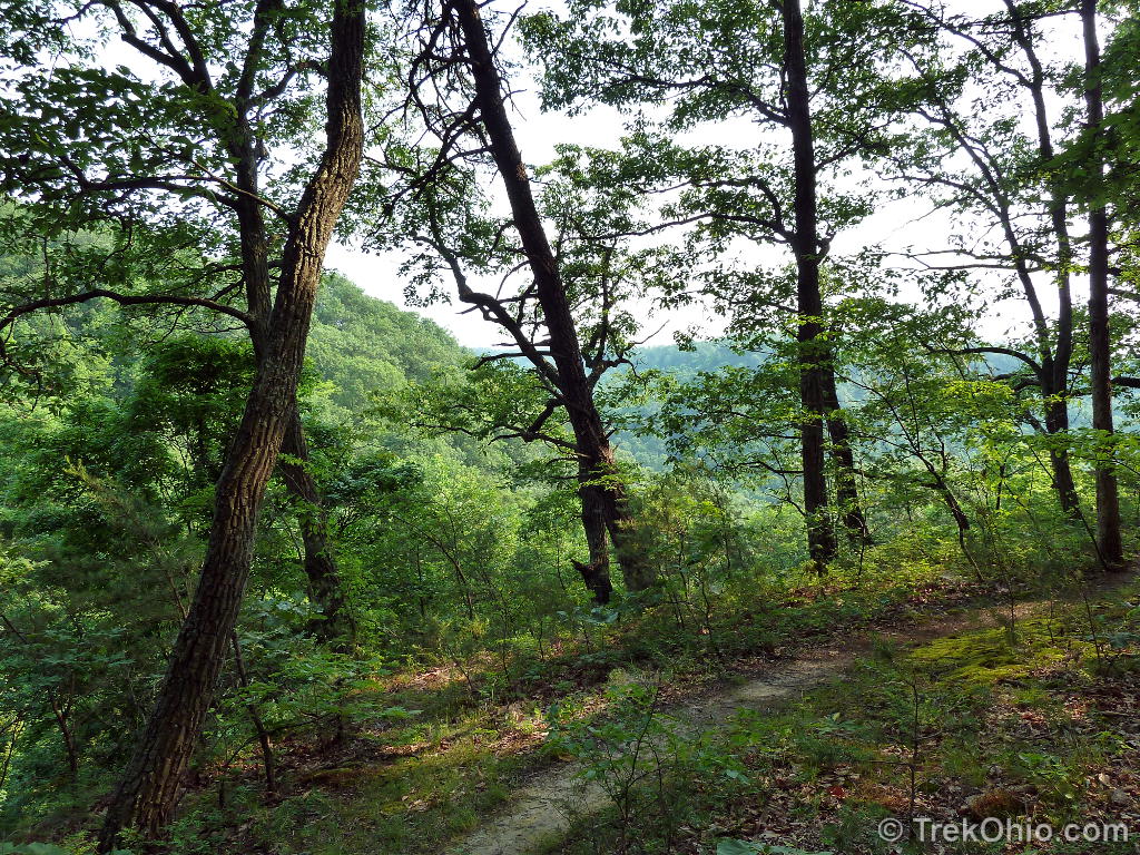
There are two trails at the nature preserve: the Hoggard Trail and the South Point Lookout Trail; we hiked both trails for a total, round-trip distance of about 3.6 miles. There is parking area near the trailhead for Hoggard Trail that’s big enough for a couple of vehicles. We started from this parking area and proceeded across a wooden bridge to the Hoggard Trail. The Hoggard Trail is named after a family that settled here in the early 1800’s. All that remains of their homestead is the family cemetery.
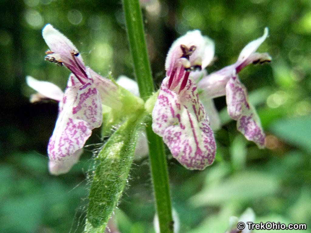
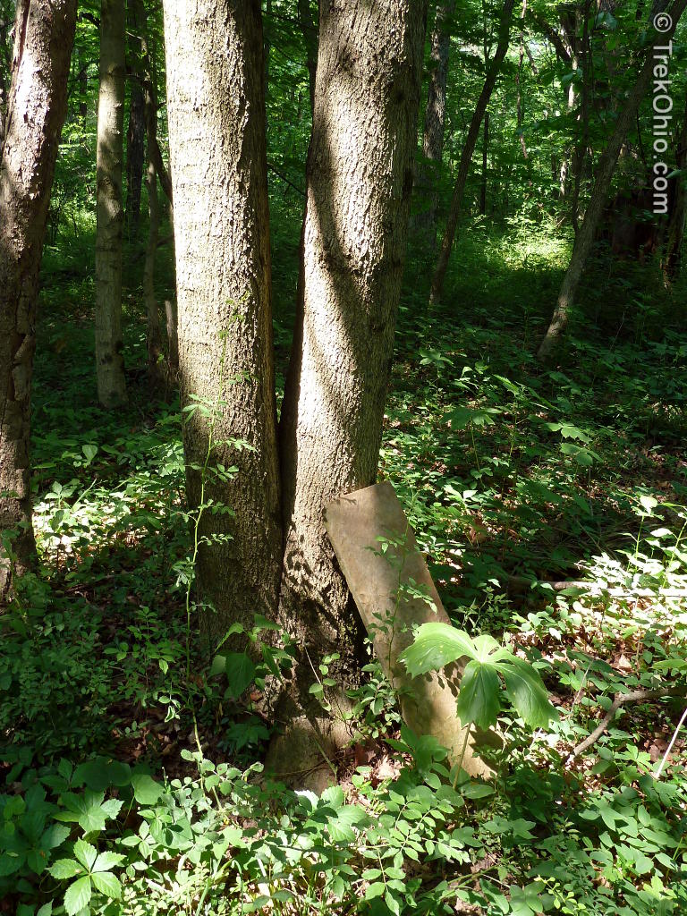
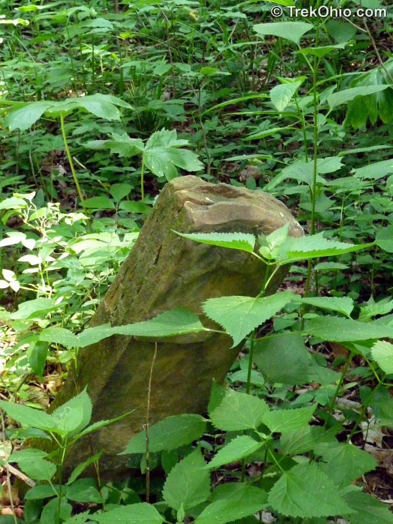
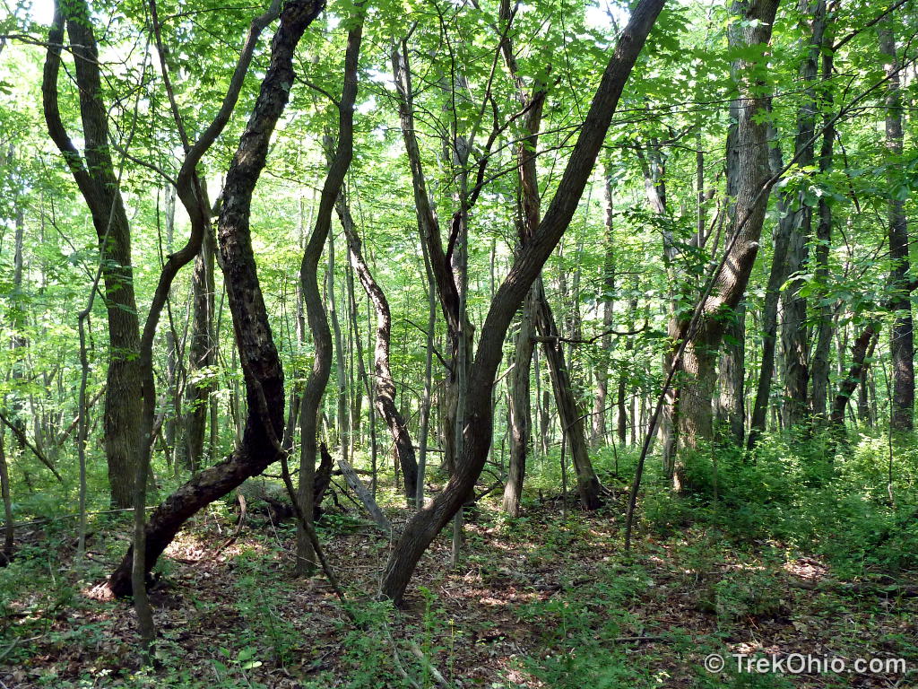
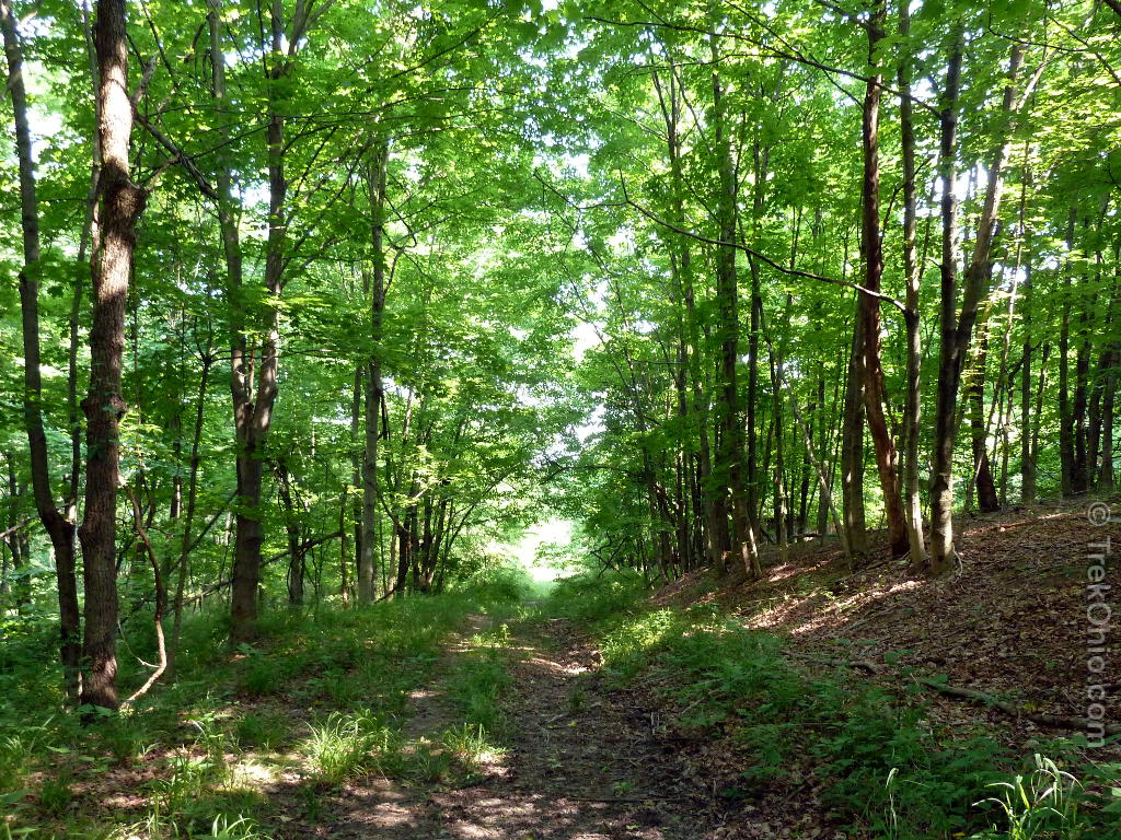
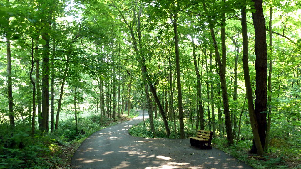
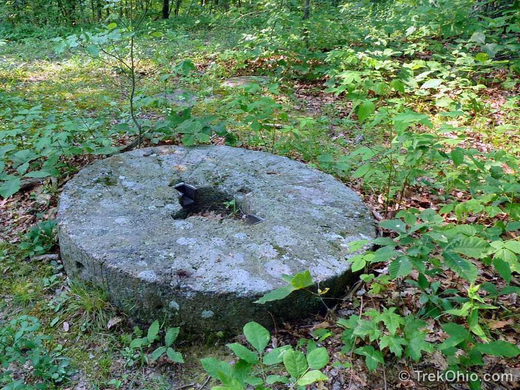
The trail is heavily forested and mildly hilly. At one point you will see a stream to your right and a small seasonal waterfall. Eventually you’ll end up at the Hoggard family cemetery. Some of the headstones are still readable, others are not.
We continued on the trail beyond the cemetery. I would not recommend this as beyond this point the trail quickly becomes overgrown, almost disappearing in spots. We eventually reached an area that looked like an abandoned logging road, but it was heavily overgrown. We turned around and returned to the parking area.
I should note that the park district posted information in one of the kiosks recommending that hikers were long pants and hiking boots. It also mentioned that there were poisonous plants and snakes in this part of Ohio. There was also a notice that leashed dogs were permitted on the trails.


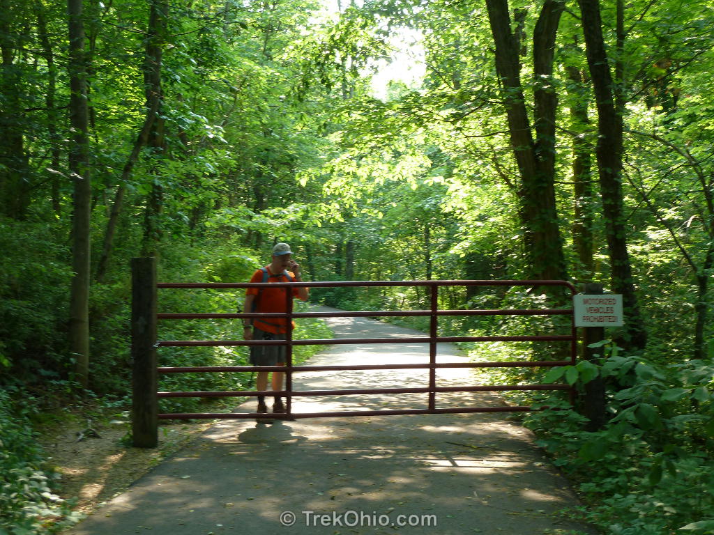
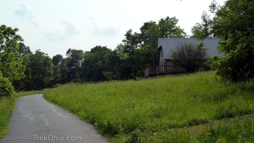
After returning to the parking lot for the Hoggard Trail, we walked a small distance along the edge of Red Bird Lane to an open gate. We walked through it and soon came across a park kiosk. Beyond this there was a second, considerably larger parking lot to the left. It was next to a white farmhouse with a wrap-around deck. I believe that the farmhouse is used for various park events (see Calendar of Events link below).

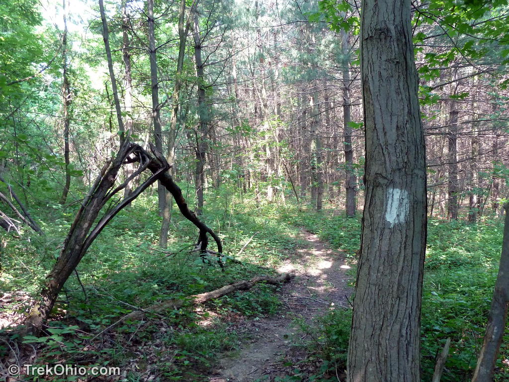
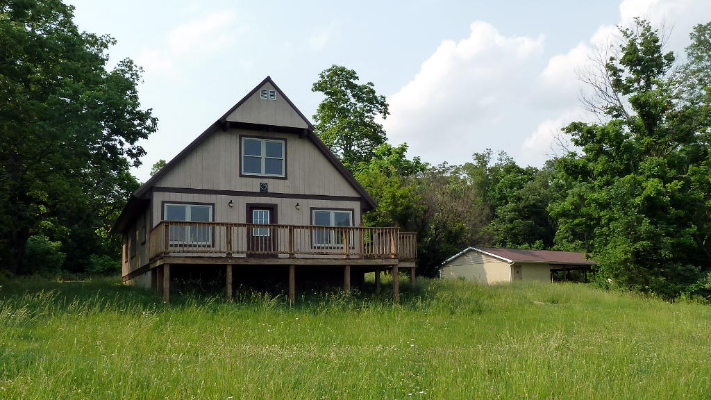
Beyond the farmhouse a locked gate prevents vehicle access, but the road is open for hikers. The road continues with a few side trails (which we didn’t have time to explore) to an A-frame that is also used for park events. Across from the A-frame (at the end of the paved road) a mown path leads to the “Buzzard’s Roost”. A ways down the mown trail is another small park kiosk.
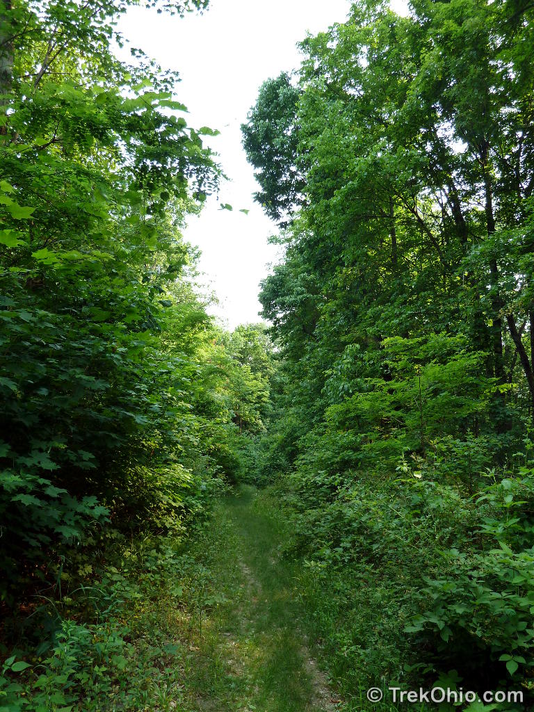
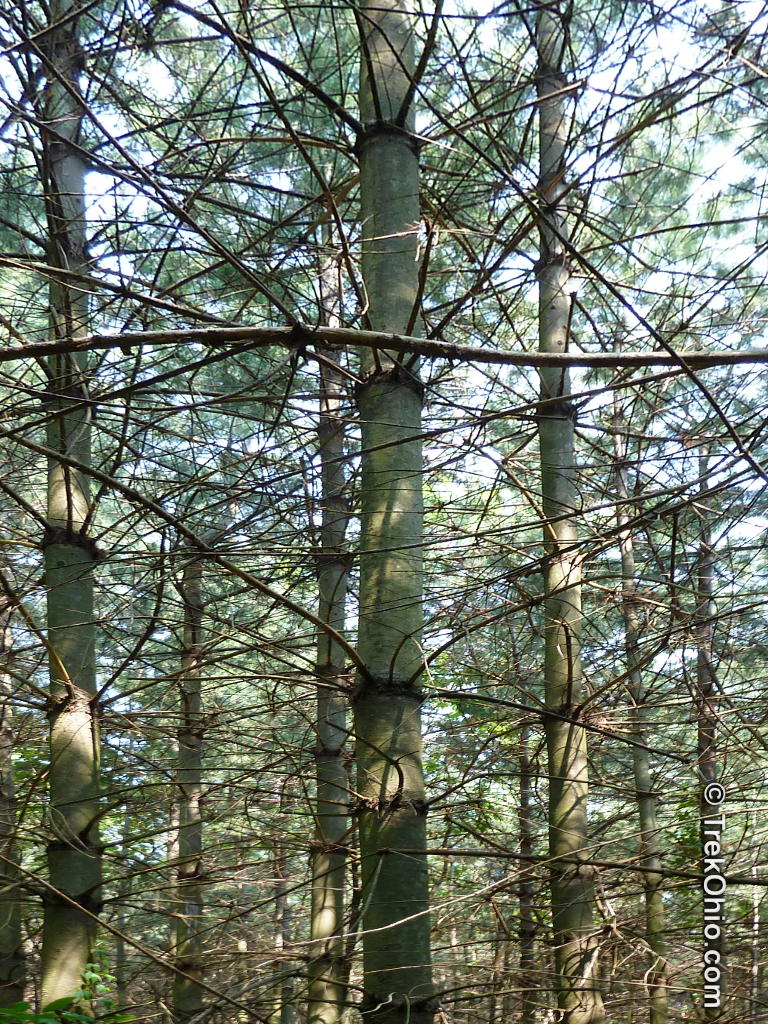
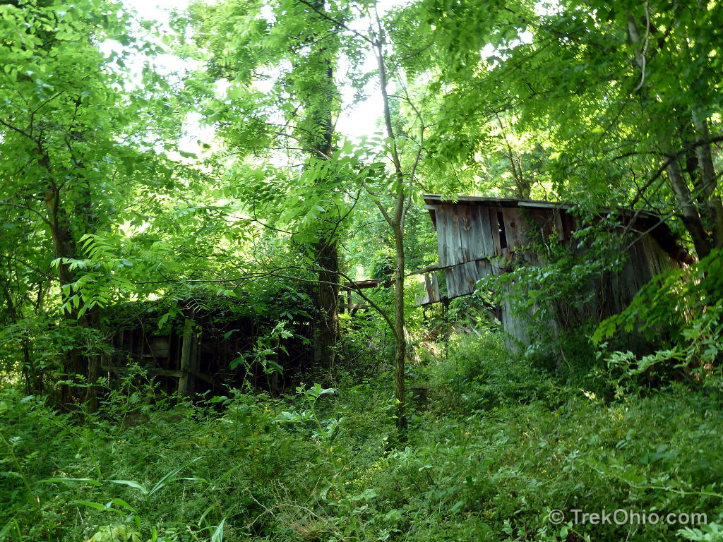
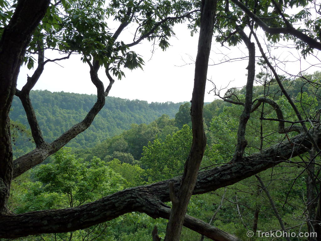
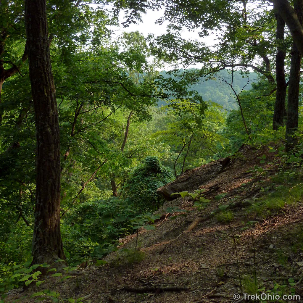
The trail crosses a field and enters a forest heading gradually downhill. As you approach the cliff, there is a dilapidated cabin near the edge. A couple returning from the cliff warned us to “be careful”. Seriously, the cliff is made of crumbly dolomite, and in some places the cliff edge is not very thick. It’s a long way down, so keep away from the edge. The Ross County Park District posted a similar warning in one of their kiosks:
The cliffs are unstable and dangerous so visitors are cautioned to stay back from them. Also the cliff edges harbor a very fragile habitat that is easily eroded and damaged from too much traffic so please help us to preserve this unique area.
Since we arrived in late May, the view of Paint Creek was obstructed by foliage. I suspect in early spring, or late fall the views would be spectacular. A cabin stood near the cliff, but was in a state of serious disrepair.
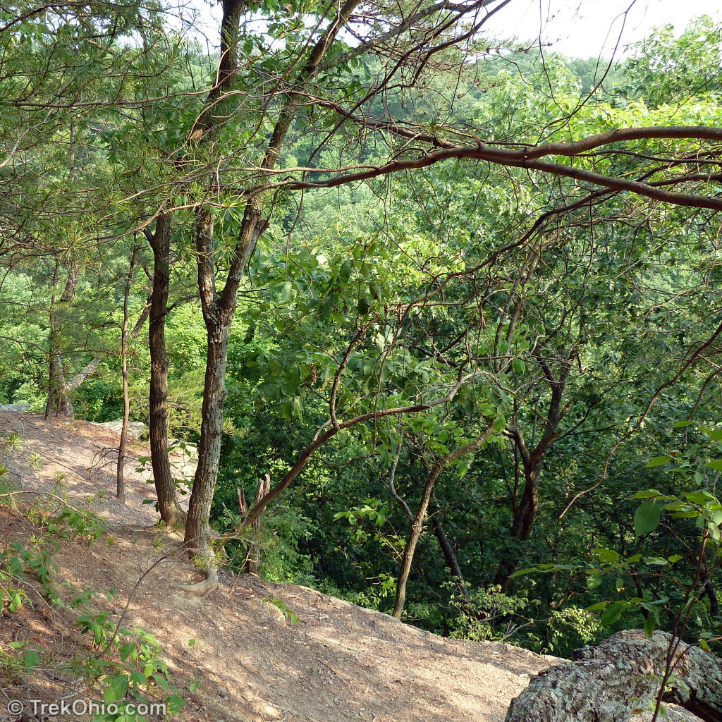

We followed the trail along the cliff’s edge until it turned away from the cliff and into the woods. We turned back at this point, but I believe that this trail is a loop that would have brought us back to the main trail had we followed it.
Additional information
- TrekOhio: Ross County Parks and Preserves — This is the county where Earl H Barnhart “Buzzards Roost” Nature Preserve is located; check out this page for official links and information on nearby parks and preserves.
Location
514 Red Bird Lane
Chillicothe, Ohio 45601
GPS: N39.325733,W83.070956
Directions
Take SR50 to Poke Hollow Rd. After the bend make a very HARD right turn onto Red Bird Lane. The road will pass some homes and enter a forested area with a sign for the preserve. Eventually you will come to an open gate with a small parking area to the right. This is the trailhead for the Hoggard Trail. You can park here, or continue through the gate. A parking area (next to the farmhouse) will be on your left. The road terminates at a locked gate. This is the trailhead that will lead you to Buzzards Roost.
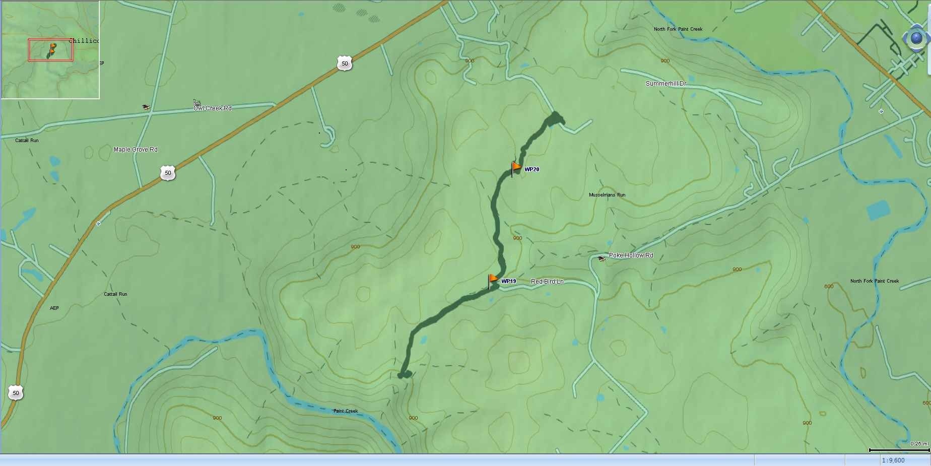
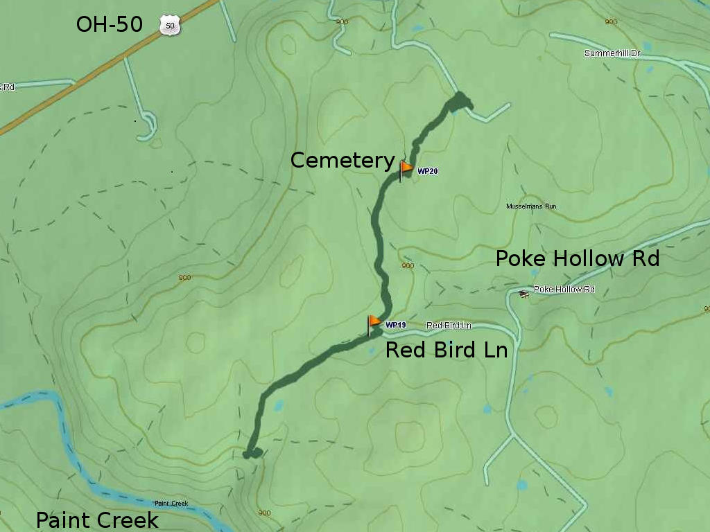
Below is the GPS trace of our hike (a larger resolution map can be seen here). The red flag near Red Bird Lane is the parking area for the Hoggard Trail. The other red flag points out the Hoggard family cemetery.
More on Ross County
 Hopewell Culture National Historical Park: Native American Artifacts housed in the Museum
 May Wildflowers at Scioto Trail State Park
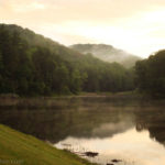 Tar Hollow State Park
 Hopewell Culture National Historical Park: Mound City
hiked the south loop today oct 3 2021. fine trail good time. would recommend. hope to do hoggard sometime. have done buz roost in adams county a couple of times. try it!
I walked the Hoggard Trail last Sunday, and it actually continues far beyond the old homestead. If you go to the left by an abandoned camper, there is a second pond and views from the cliffs over looking Route 50, just keep looking for the red trail marks on the trees.
Thanks, that’s really useful information. We went in summer and the trail was very overgrown. You picked a much better time to do the trail.
Don’t miss the pond on the Hoggard Trail. I took some great pictures there.
we hiked today, up to where you turned around, too bad we didn’t see this 1st, we all have gashes on our legs from all the thorny bushes!!!
kids enjoyed the cemetary, we intended to go to the cliffs, but took the wrong trail, and kids were ready to leave, will check them out next time!!
The latter portion of the Hoggard Trail is pretty overgrown. If you go back and visit the cliffs stay away from the edge as it is thin crumbly dolomite.I would think the best view would be in the late fall or early spring when the leaves are off the trees.
That park is truly a hidden gem in Ross County. I wish that the cemetery was fenced off, fear it may be lost in the forest eventually. My uncles may have planted those trees – they worked for the CCC in Ross County and also helped build Pike Lake. I don’t think I’ve ever been there but my husband remembers a friend of his in high school talking about hiking there. Will definitely check it out, maybe in the fall after the leaves are down and the poison ivy dies back 🙂
Very cool to think that your uncles may have helped plant the pine trees in this preserve. So many of the original trails and park improvements were done by the CCC.
I have seen quite a few pioneer cemeteries in parks, which kind of surprised me at first. The one here has to be the most untended that I have seen. There were other tombstones that had fallen the whole way over, and many were completely unreadable at this point. On the other hand when you stop to think of the billions of people who have lived on this earth, only the tiniest percent have some sort of lasting memorial.
The best maintained pioneer cemetery that I’ve seen is at Dawes Arboretum. It seems just like a contemporary cemetery that’s kept mowed and pretty.