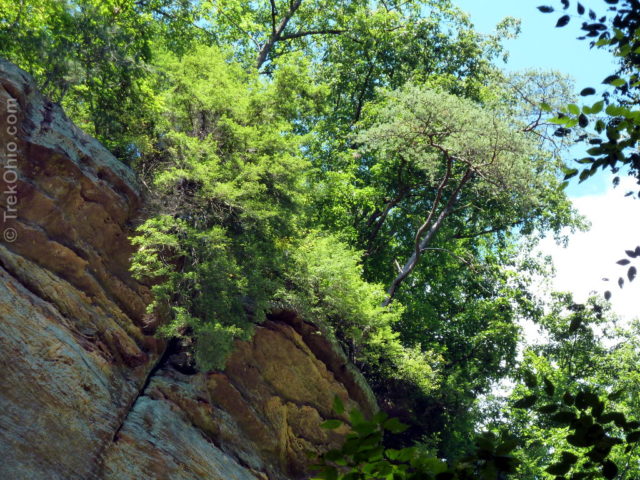
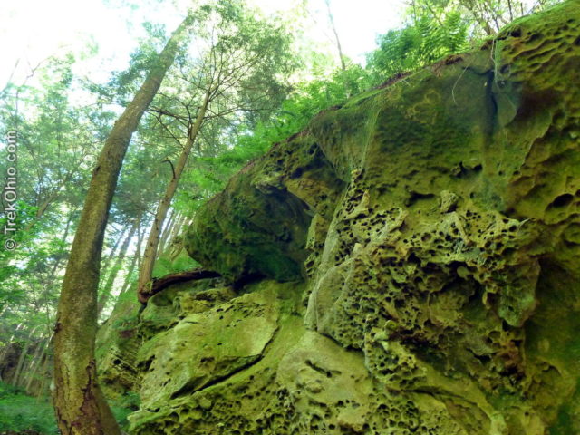
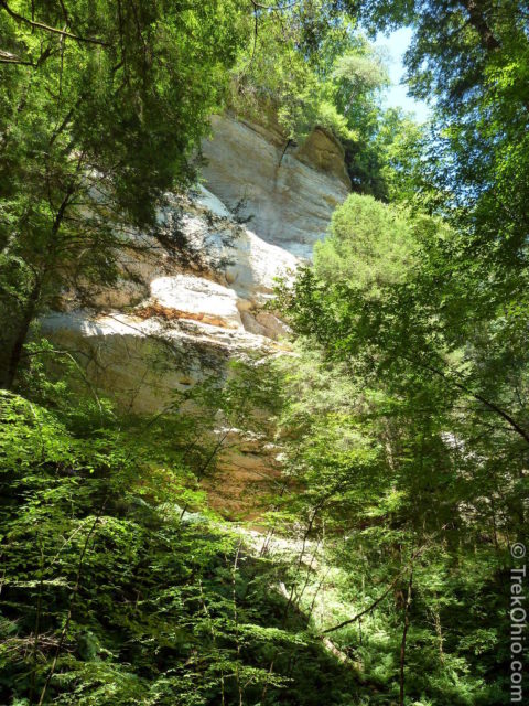
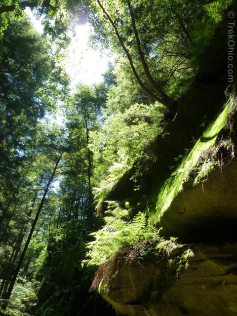
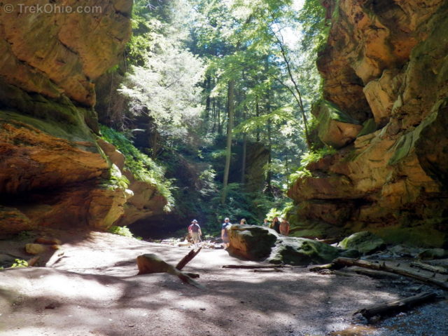
Conkle’s Hollow is a narrow gorge with breathtaking cliffs rising on either side; the cliffs are made of Blackhand sandstone and are quite sheer in places, the taller ones reaching up to 200 feet in height. Seasonal waterfalls flow from the cliffs at many sites, their streams joining to form Pine Creek on the valley floor.
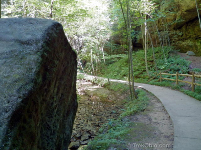
Conkle’s Hollow State Nature Preserve has two main trails. The Rim Trail is on the plateau above and leads you around the upper border of the gorge. The Gorge Trail is on the valley floor and leads you down the gorge to its terminal point at a recess cave. In an earlier posting we discussed the Rim Trail. Now we’ll explore the Gorge Trail that starts near the parking lot and follows Paint Creek to the gorge’s end. The paved portion of the trail is nearly a mile long; it was designed to be handicap accessible. Although the upper Rim Trail isn’t really safe for small children, the lower Gorge Trail is suitable for the whole family, including toddlers in strollers (no pets, though). The paved trail ends just before a narrow passage way between rock outcroppings; a dirt path leads from this point to the end of the gorge.
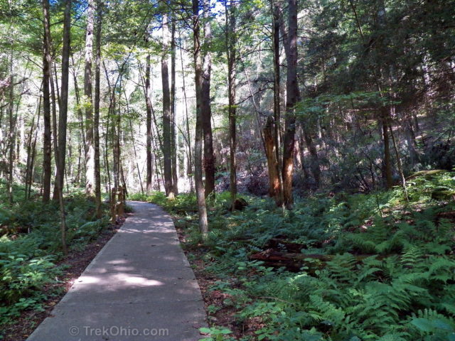
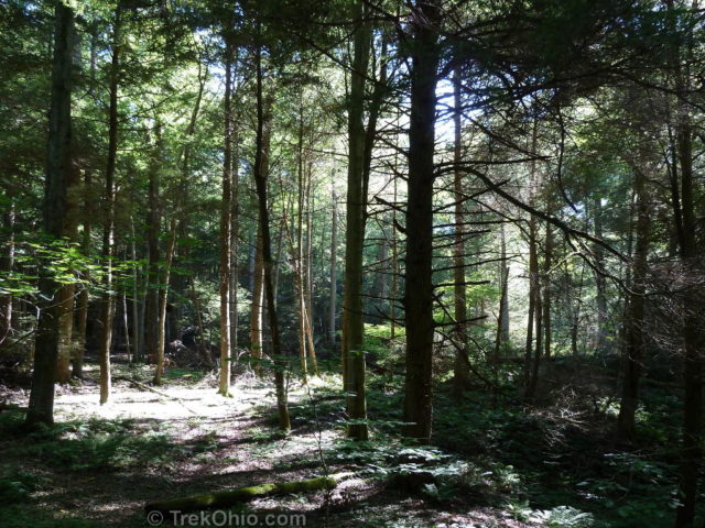
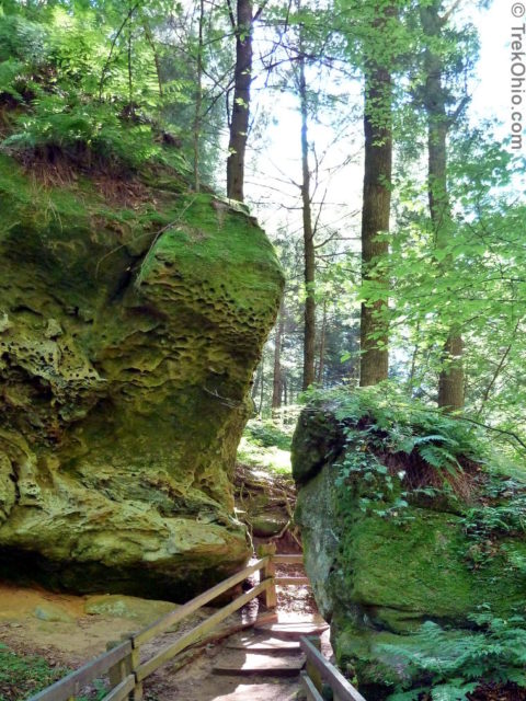
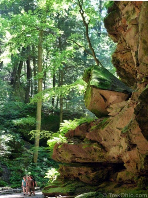
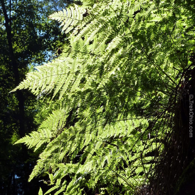
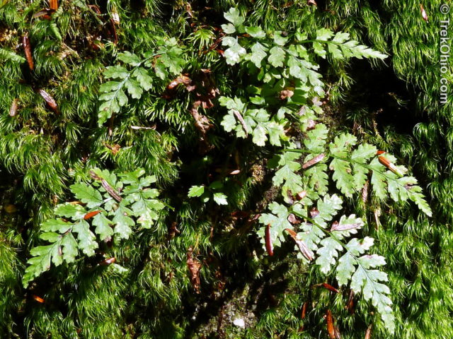
A profusion of ferns surround the trail.
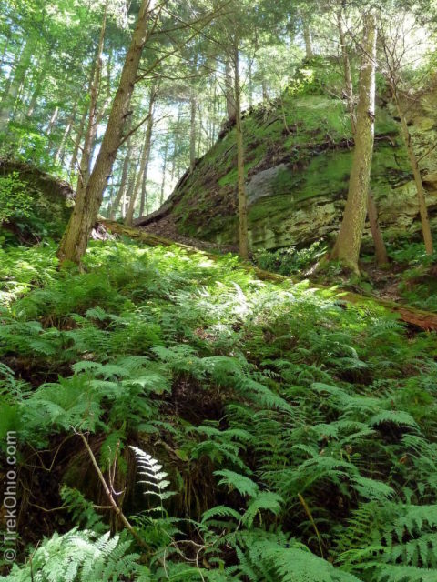
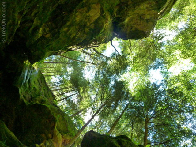
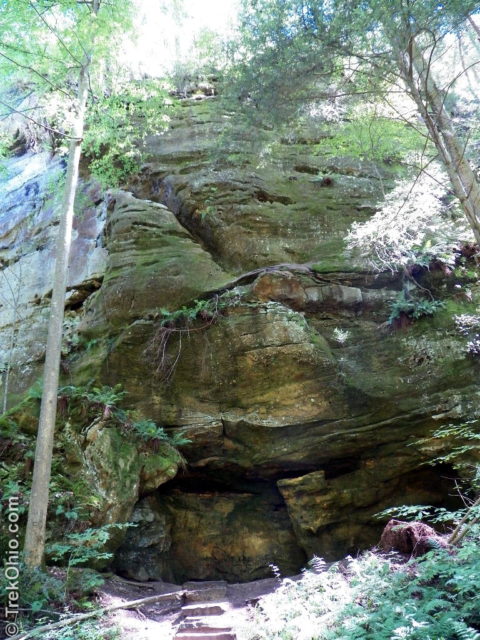
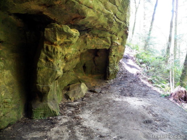
Small side valleys fan out from the hollow, and an occasional recess cave is visible from the path. Dirt side-trails lead to a couple of these recess caves inviting hikers to explore them. The topmost photo of the post was taken from one of these side-trails.
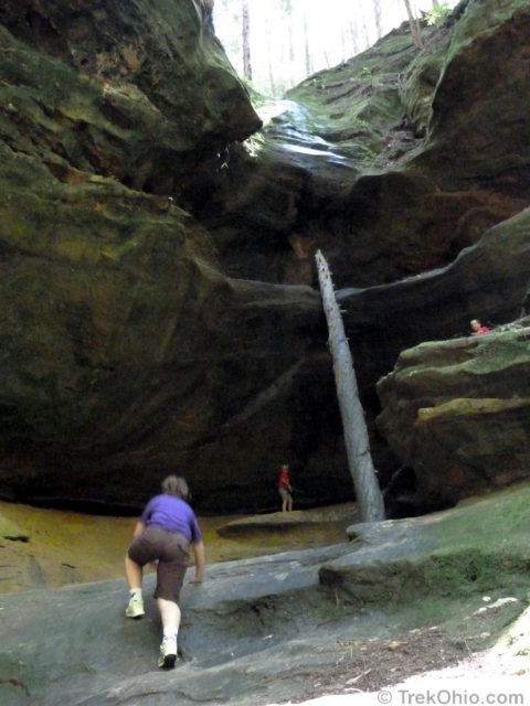
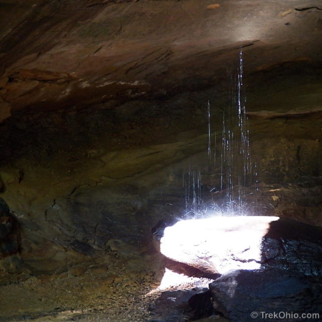
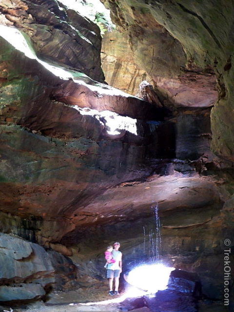
The gorge narrows and terminates in a small recess cave. Spring water flows its roof, bouncing off a flat rock outcropping below.
Additional Information
- TrekOhio: Hocking County Parks & Nature Preserves — This is the county where Conkle’s Hollow is located. Check out this page for official links and information on nearby parks and preserves.
- TrekOhio: Conkle’s Hollow: The Rim Trail — Describes the trail you’ll find if you climb the stairs of this preserve and walk around the upper rim of this gorge.
- Trek Ohio: Overview of Hiking Trails in the Hocking Hills
Location
- Address: 24858 Big Pine Rd., Rockbridge, Ohio 43149
- Directions:
- GPS Coordinates: 39.452556, -82.571431
- Google Maps: View on map or get directions
New to Ohio hiking and am totally motivated by your photos!Thank you for posting… so helpful to me to plan treks!!
We are glad that our posts have helped you plan hiking destinations. 🙂
I hiked this trail last summer. Although short, it is beautiful. I want to return this summer. I also want to hike some of the Ridge Trail. I’m trying to hike all of the trails eventually in the Hocking Hills.
HikerDave, we love the Hocking Hills region. There are so many great trails for hikers.
very pretty, some of those photos look like the gorge here in summit county, it has a cave like part where the water runs down and hits a big rock, ice box cave has been marked off due to white fungus disease of the poor bats. I have visited ice box cave(ledges trail virginia kendall park) many times as a teen ager and never knew there were bats in there.
rose
Rose, welcome to our site! I still haven’t had a chance to explore any of the parks in Summit county. Since I enjoy exploring gorges and ledges, it sounds like I’d like these. Too bad about the bats there.
Beautiful sandstone cliffs, and caves.
Such stunning shots – I love the water in the cave, and looking up! Nature’s creations are just amazing… Thanks for sharing.