The parks and preserves in the Hocking Hills area are great destinations for the outdoor enthusiast. We’ve hiked them all – Hocking State Park, Conkle’s Hollow, Rock Bridge, Wahkeena, Boch Hollow. Wait … Boch Hollow?
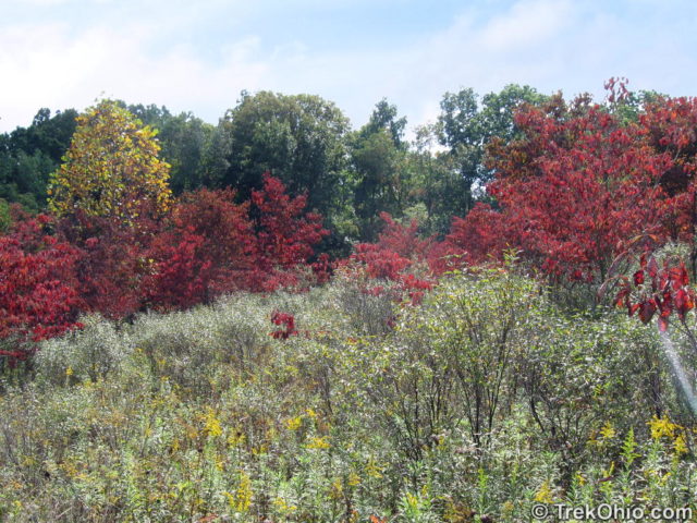
Boch Hollow is a 570 acre preserve located north of Logan, Ohio. Like Rhododendron Cove and Christmas Rocks, Boch Hollow used to be a permit only preserve, but it is now open to the public. We’ve provided directions to the preserve at the end of this article.
Boch Hollow was donated to Ohio Department of Natural Resources (ODNR) by the Kessler family (who also donated the land for the 20 acre Kessler Swamp State Nature Preserve). The site includes a home and out-buildings that the ODNR will use as their new regional headquarters. The trailhead for preserve is just beyond a gravel parking area. The ODNR is still developing the site, but considerable work has already gone into the trail system.
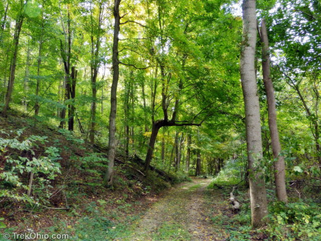
Currently, the trails consist of a series of three loops with a total distance of about 4 miles.. A kiosk at the trailhead recommends following the trail, and turning right at each trail intersection to traverse all portions of the trail (more generally the right hand rule will solve all mazes). We followed this suggested route and found the trail to be wide and well-marked.
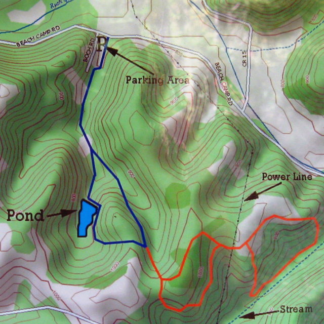
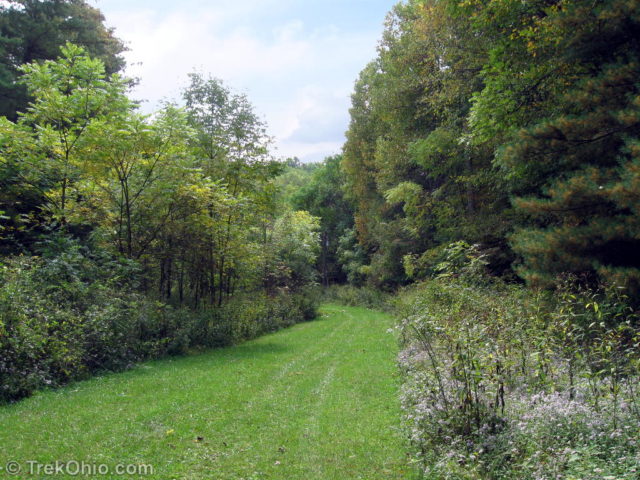
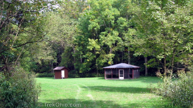
The trail proceeds through a hollow, crosses a stream and then enters an open grassy area that’s the site of a picnic shelter, a closed outhouse, and basketball hoop. The picnic shelter at one time was screened in with an additional layer of chicken wire at the bottom to keep animals out. However the wire had apparently been cut. We stopped at the shelter and had lunch. Hills rise on either side of this opening, and two trailheads could be seen at the far end of the field. We took the trail to the right.
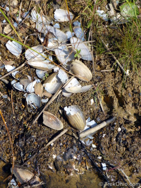
The trail goes uphill and then turns 90 degrees to the left passing a pond and a wooden gazebo with a small dock. From the dock we could see some animal’s favorite place to eat clams. I’m guessing the mollusk loving animal is a raccoon. You can see two paw prints to the right of the shells in the photo below. The pond has small water lilies growing in it, and we could see fish from the dock. Before you get any ideas, I should add that fishing is not permitted here.
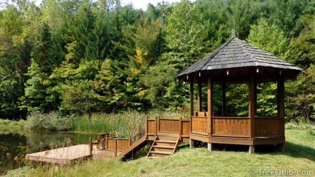
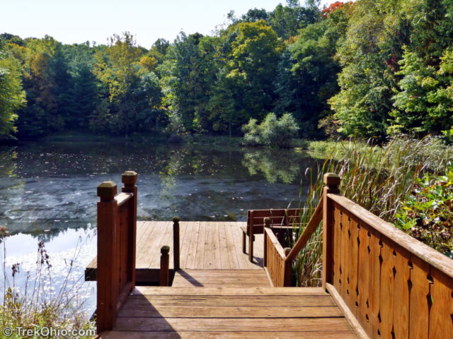
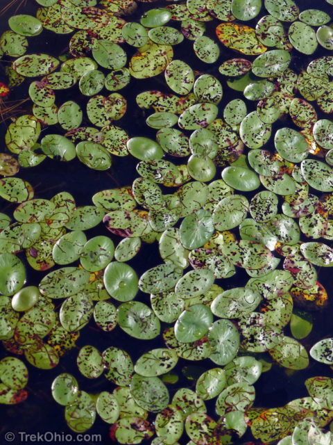
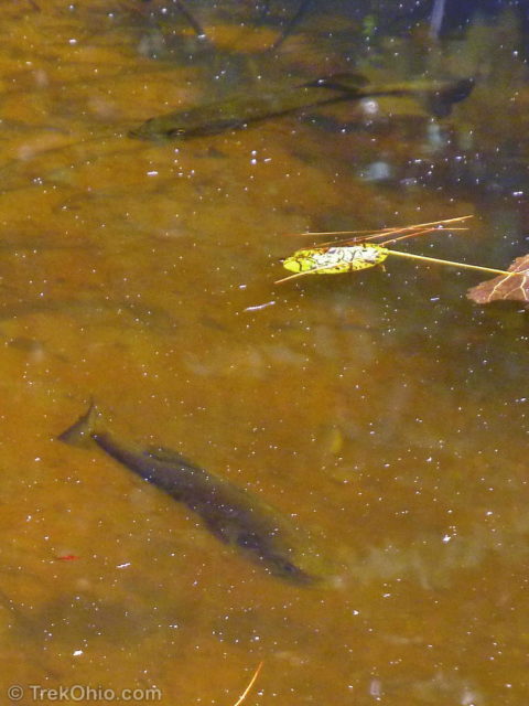
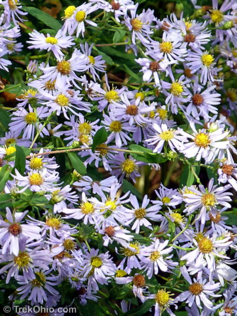
After looking over the pond, you want to go left to pick up the trail. Beyond the pond the trail ascends steeply. The trail wound up and down over hill and hollow. We were alone in the preserve, but at one point I heard something stirring in the woods. Scanning the woods I was rewarded with a glimpse of a large deer peeking at us through the trees. Having been spotted it turned tail and ran off.
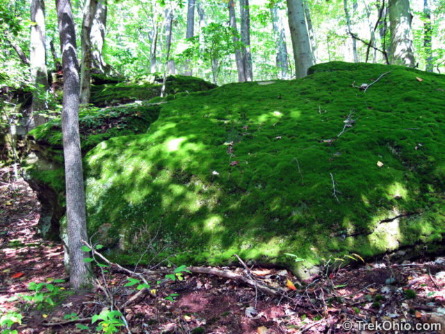
We passed a series of outcroppings and a large boulder covered with a luxuriant carpet of moss. The final loop took us through a meadow where some of the trees were beginning to get their fall colors (we were there in late September). Then back into the forest and down into a hollow.
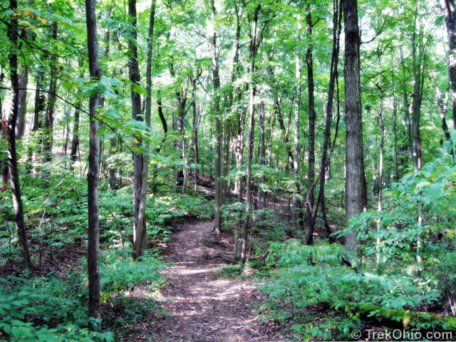
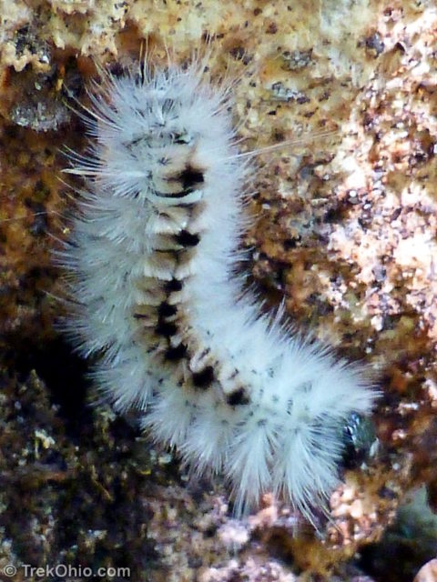
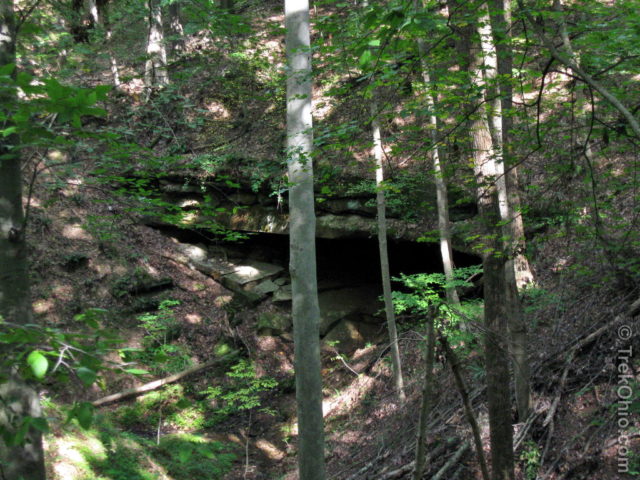
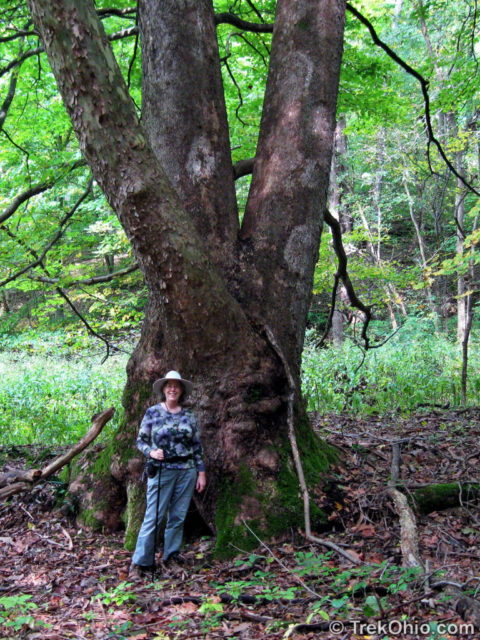
On the way back we passed through the other side of the meadow and then back into the forest. At one point the trail hugged a the edge of a ravine above a hollow. On the other side of the ravine we saw a recess cave. We could envision a bear or wolf living here before settlers moved into Ohio. The trail crossed a dry stream bed where a big American Sycamore tree was growing. Finally the trail emerged into the opening with the out buildings from which we had started. We both really enjoyed our hike, and we agreed that we would like to return.

Additional information
- TrekOhio: Hocking County Parks & Nature Preserves — This is the county where Boch Hollow is located. Check out this page for links to the official site, and for information on nearby parks and preserves.
- TrekOhio: Overview of Hiking Trails in the Hocking Hills — Other places to hike while you are visiting the Hocking Hills.
Location
- Address: 7000 Beech Camp Road, Logan, Ohio 43138
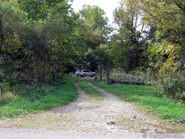
- Directions: From US 33, take OH-664 North, turn right onto Beach Camp Rd. Entrance to gravel parking area is on the right. There is no sign, but an address marker reading 7000.
- GPS Coordinates: 39.6335527, -82.4239054
- Google Maps: View on map or get directions
The kiosk and trailhead are just beyond the parking area. Note, there (currently) are no working restrooms at the preserve. US-33 has rest areas (on either side of the road) just north of the OH-664 intersection.
What is the phonetic spelling of “Boch”?
I’ve heard it pronounced as ‘bock’.
I love seeing your vistas (and moss!)… Such a lovely series. 🙂
Thank You guiding us thru nature preserve. I enjoyed very much from Your photos. One among them called “White Heath Aster” is my favorite!
Thank you, Sartenada. I’m still seeing a few wildflowers when I go out, but it won’t be long till they’ve disappeared until next spring.
Beautiful, as always… 🙂
Thank you, Carol.
I grew up on this property. My mom sold it to (the Kesslers?) Or maybe there was another owner in between. It’s crazy seeing these pictures. The property to the East is owned by the Sheets.