We’ve been using Global Positioning System (GPS) units for several years to get us to the trail-head for a day hike. A GPS system can be a real boon to finding your way to a new park or preserve, but it’s important to understand its limitations. It’s like having a friend in the car who’s very knowledgeable about the local area, but who sometimes give you directions while he’s drunk. For instance, once we were headed to a hotel that was about a half hour away in Marietta, Ohio. We plugged the hotel’s address into our GPS unit, and after calculating the route the GPS unit insisted it would take us 8 hours to get there (we were in the same county as our destination for crying out loud). We double checked that we’d entered Marietta, Ohio and not Marietta, Georgia, but our GPS unit was bound and determined to lead us into Georgia anyway. It was, like I said, “drunk.”
All dedicated GPS units contain a receiver, a processor, and a built-in map. The receiver tries to lock onto signals from at least four satellites. Some GPS units then try to refine the location further by using built-in compass and altimeter sensors, or other external data such as the locations of cell towers. Once the GPS has identified your location, it will calculate a route and maybe give you some alternative options. Due to quirks like the one we encountered while trying to go to Marietta, I strongly recommend that you review the suggested route instead of just trusting what the GPS unit says. Especially when it tells you to turn into a creek… (true story!).
If you are in an unobstructed location, your GPS unit can typically pick up signals from six to twelve satellites as they pass overhead. However while traveling to a remote park or nature preserve, it is often the case that you are not in an unobstructed location. You may be surrounded by forests, hills, or even mountains. This narrows the GPS unit’s perceived horizon, and it may find that one satellite that it has locked on goes “over the horizon” before it can lock onto a new one.  When this happens the GPS unit is like your drunk friend who says, “Turn left in 100 feet and then … wait, where am I …”.
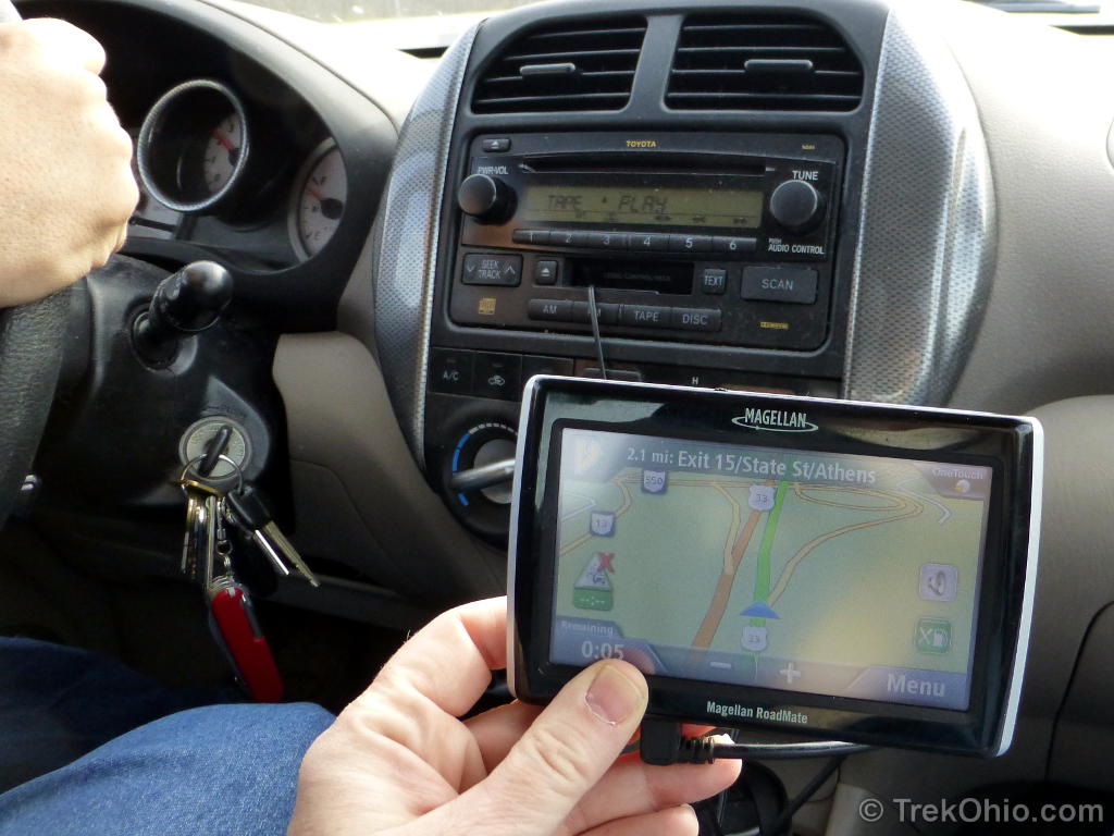
Since the GPS unit depends on its built-in map to navigate you to your destination, if your map isn’t up to date, hilarity ensues. We were traveling on the US-33 bypass around Lancaster shortly after it had been completed. Every time we got near Lancaster, the GPS unit believed that we were driving across a field and would repeatedly advise us to “turn around”. ![]() With our current unit, I’ve purchased a map subscription from Magellan, and now I make sure that I have the latest map before setting out.
With our current unit, I’ve purchased a map subscription from Magellan, and now I make sure that I have the latest map before setting out.
If you use a navigation app on your smartphone, you open yourself up to entirely different modes of failure. Besides needing to lock onto at least four satellites, unlike dedicated GPS units, the maps that a smartphone uses typically are not built in. So your smartphone needs to download routing directions and maps when you initially request them. Once we were driving to a park in a remote region, and our smartphone performed like a champ getting us to our destination. We went on our hike, had a great time, then returned to our car to head back home. Except once we got back to our car, we were out of the reach of a cell tower – no signal. Which meant no return driving directions. And because we had both been relying on the smartphone to do the navigation, neither of us had been paying much attention to the route. ![]() It pays to bring a paper map as backup (which we hadn’t done). My favorite map is the DeLorme Ohio Atlas & Gazetteer; it is a map in book form available from Ohio AAA (members $15, non-members $20).
It pays to bring a paper map as backup (which we hadn’t done). My favorite map is the DeLorme Ohio Atlas & Gazetteer; it is a map in book form available from Ohio AAA (members $15, non-members $20).
Many GPS units will allow you to optimize your route for either the minimum distance, or the minimum time, but they typically choose the minimum distance unless you intervene. In remote regions the minimum distance may not be the way to go. We’ve been in forests where the minimum distance is a gravel, one-lane forestry road that hugs the edge of some bluff with a sheer drop-off to the side. Just imagine the fun if you encounter a car coming in the opposite direction. Let me tell you, I’d much rather drive an extra ten miles on a paved road than have to pry my fingers off the steering wheel at the end of the trip.
Since I’ve been dwelling on GPS failures, let me mention a few wins. Besides having built-in maps which we now know to keep up-to-date, our Magellan GPS unit also has a built-in AAA guide containing points of interest. Although it knows where some parks are located, it has an exhaustive list of rest stops, gas stations and restaurants. I can’t tell you how handy this is when you are in a completely unfamiliar locale. Also since most of Ohio’s nature preserves have no restrooms, it’s great having a GPS unit that can point out one near the preserve.
If you’d like to share an interesting GPS experience, feel free to post about it in the comments. 🙂
Additional information
- Wikipedia: Global Positioning System
- YouTube video: GPS Basics – how it works
- PC Mag: GPS navigation / apps reviews
LOVE IT! So true… And so very great.
“It’s like having a friend in the car who’s very knowledgeable about the local area, but who sometimes give you directions while he’s drunk.” – Lol!!! It’s true!