Two thousand years ago, the Hopewell people built a massive earthwork enclosing a 40-acre hilltop in southwest Ohio. This earthwork which resembles a fort was later dubbed Fort Hill.


Today Fort Hill is a 1,200 acre preserve owned by the Ohio Historical Society and operated by the Arc of Appalachia Preserve System. The preserve features 11 miles of hiking trails, a small museum, a parking area, picnic shelters, and rest rooms.
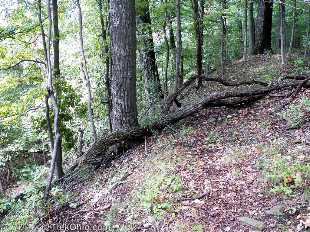
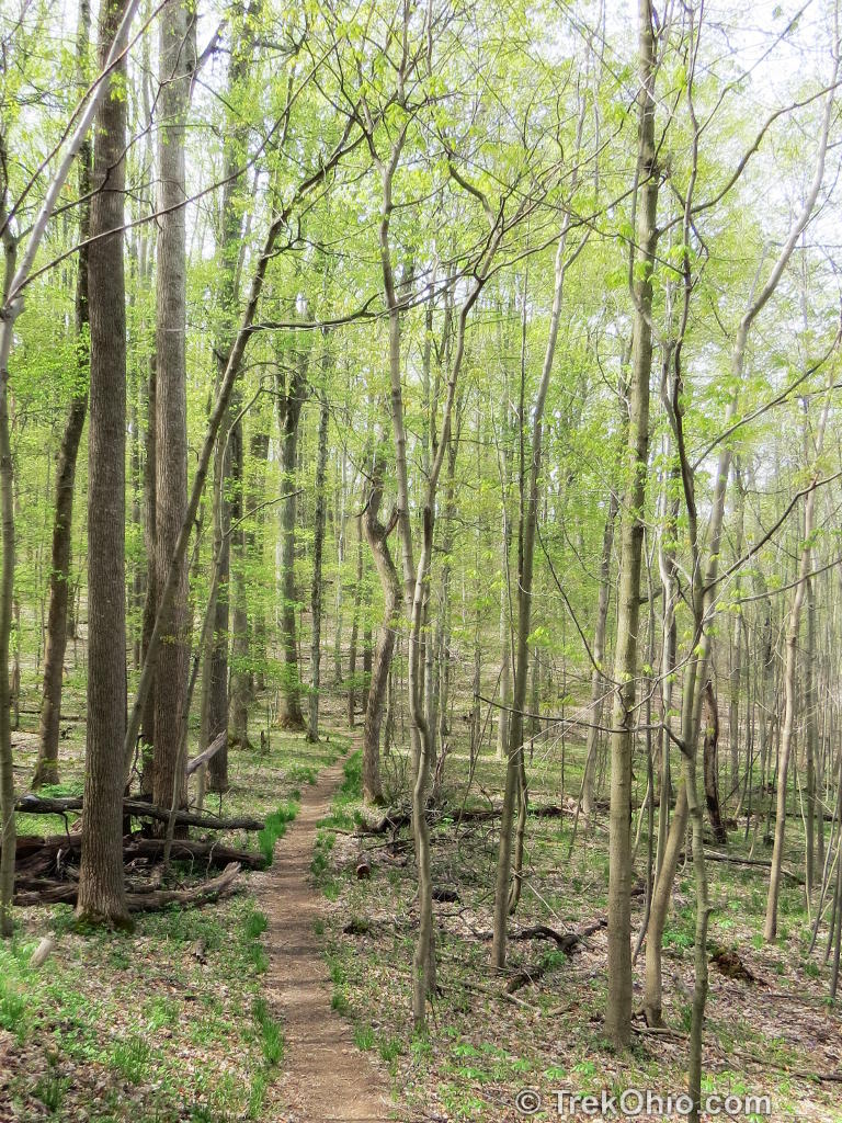
Fort Trail
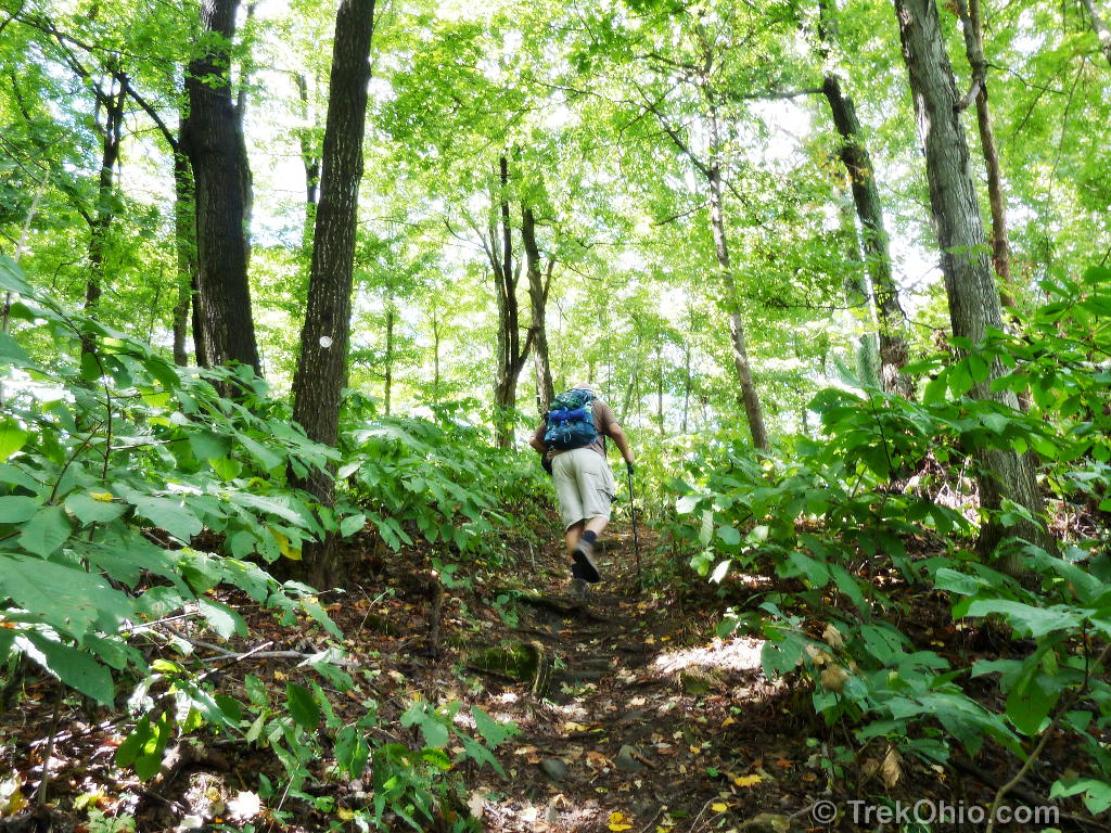
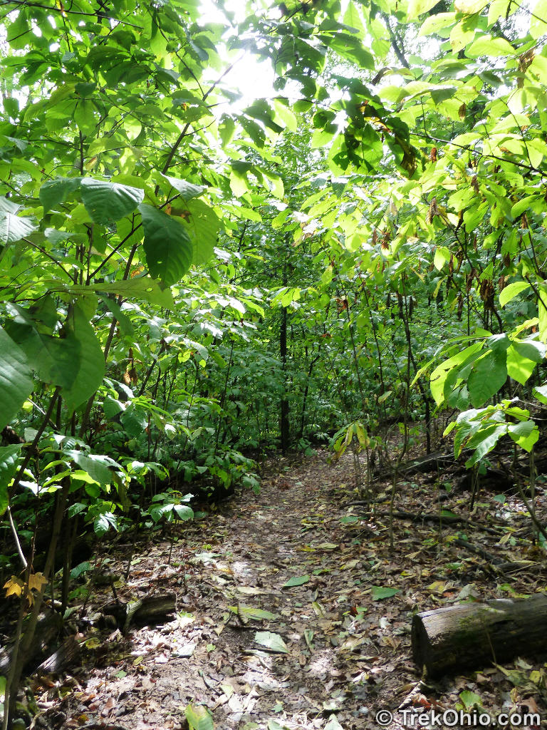
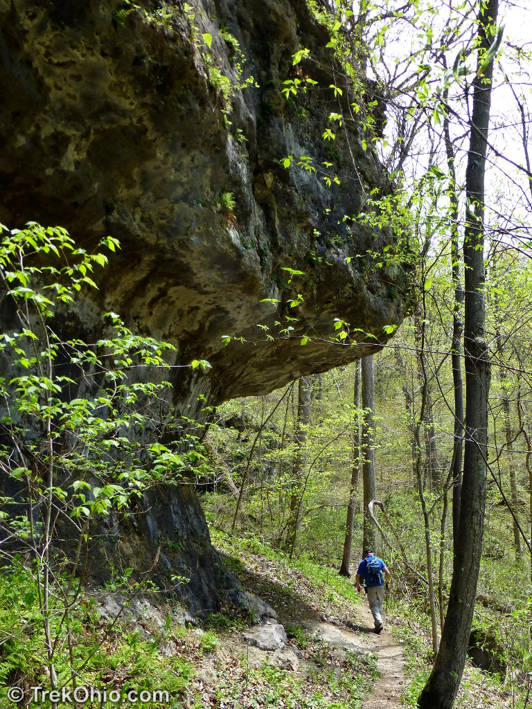
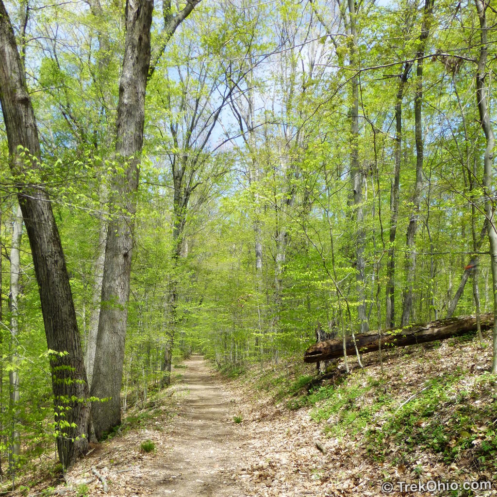
We visited the preserve last September and again this April. Fort Hill has an extensive network of trails including a portion of the Buckeye Trail. The main trail head is located in the parking lot across from the shelter / rest rooms. The 2.2 mile Fort Trail ascends 400 feet to the hilltop and enters the earthwork enclosure at the top. Fort Trail then leads you around the hilltop allowing you to survey the full extent of the earthwork. The initial portion of the hilltop trail had many pawpaw trees growing beneath the canopy of much larger trees. As we advanced on the trail, much of the heavy undergrowth gave way.


The earthwork was originally considered to be a fortification. The hill rises four hundred feet above the surrounding area. Considering the steepness of the slope and the earthwork enclosure on top, early settlers concluded that it was an ancient fort. However archeologists no longer believe that the evidence supports this conclusion. Here’s why they say that Fort Hill isn’t a fort.
- There is no sign that people lived within the hilltop enclosure.
- There is no evidence that warfare was conducted here. There are neither skeletons, nor the remains of weapons (such as arrowheads), nor the remains of burnt wood.
- The enclosure was so large and had so many opening (33 in all) that archeologists don’t believe the population of Indians was large enough to defend it. Nor was the population of potential enemies large enough to mount at attack that would require such a huge fortress.
So what was the purpose of Fort Hill? Archeologists say it must have served some ceremonial purpose. In addition to the hilltop enclosure there is a small, circular earthwork on the land below the hill. There are also signs that there was a Hopewell village down below.
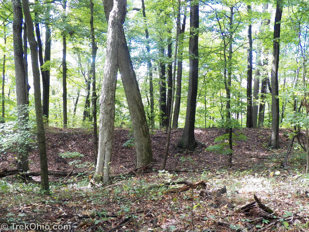
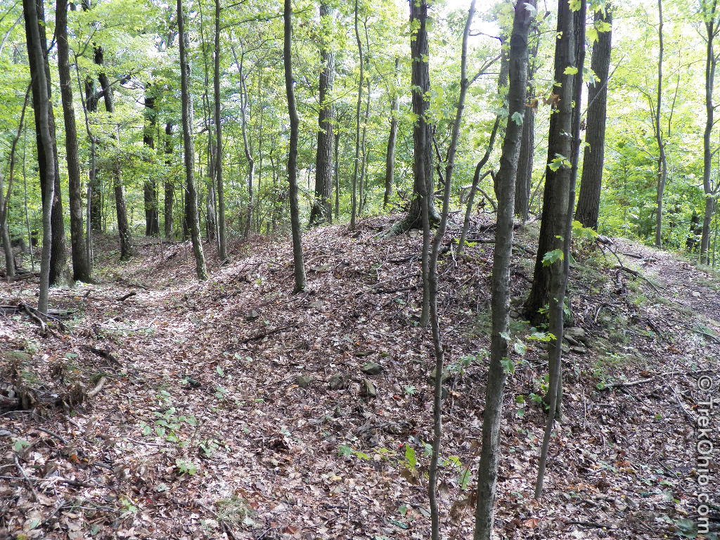
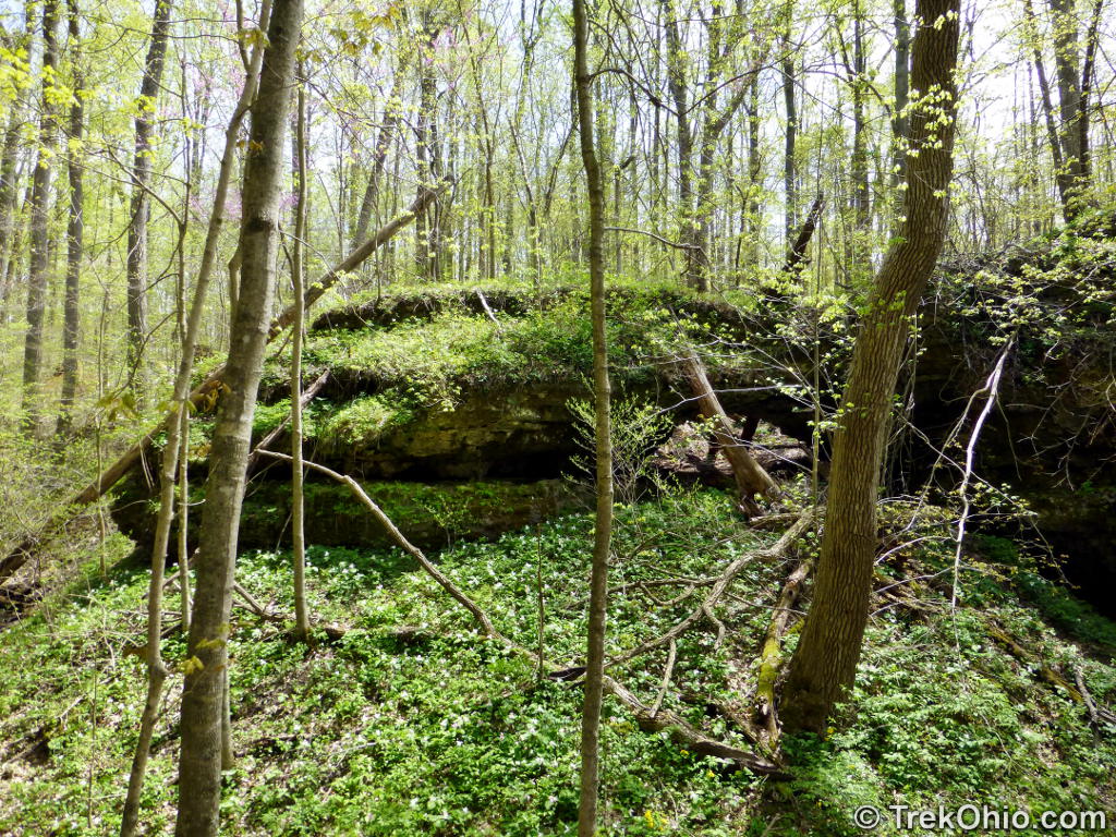
The earthwork walls of Fort Hill currently vary from 6 to 15 feet in height. It was no doubt higher 2,000 years ago. The core of the earthwork is a triangular arrangement of stones. The total length of the earthwork is 8,619 feet (approximately two miles), and it encloses an area that’s 40 acres. Since these walls were built with stone-age tools, it was truly an amazing feat.
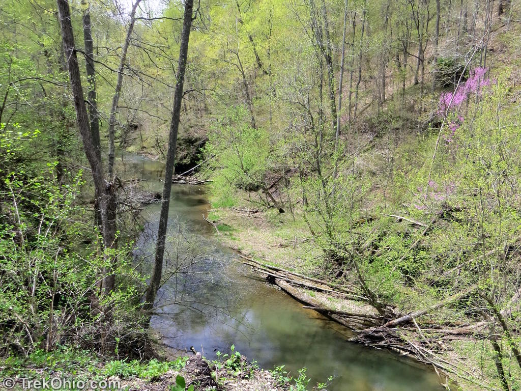
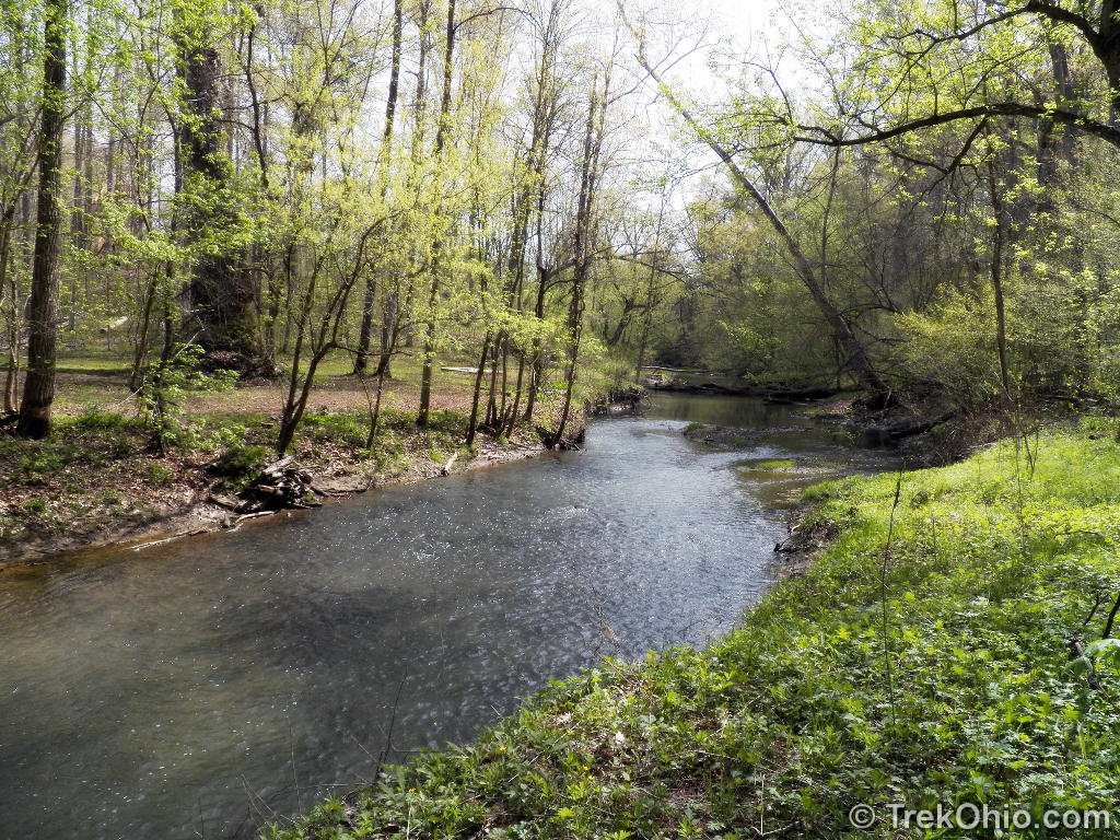
Gorge Trail & Deer Trail
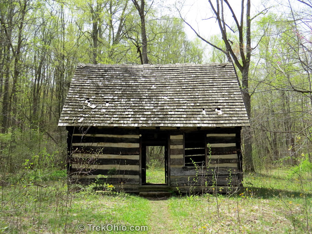
We also hiked the 4.1 mile Gorge Trail and a portion of Deer Trail. Gorge Trail follows the gorge formed by Baker Fork. The trail goes up and down from the base of the gorge to the rim and can be steep going in places. It is very well laid-out with bridges over streams and wooden stairs on the steep hillsides. At one point the trail goes through an old wooden cabin.
We hiked the trail in the early spring and found a profusion of wildflowers which Deb wrote about in this post. At the base of the gorge, we had a marvelous view of the creek and dramatic rock outcropping on the sides. From the gorge rim we were afforded views up and down the gorge valley. Near trails end, the trail turns inland and connects up with the Deer Trail. We walked half the Deer Trail which descended into ravines and then up to hill tops. Finally we took a connector trail which crossed a saddle-back ridge to Fort Trail followed it back to the parking lot.


Additional information
- TrekOhio: TrekOhio: Highland County Parks & Nature Preserves — This is the country where Fort Hill is located; check out this page for links to the official site and for information on nearby parks and preserves.
- TrekOhio: Fort Hill: Canby’s Mountain Lover Trail and Keyhole Arch
- TrekOhio: April Wildflowers at Fort Hill
- Arc of Appalachia: Fort Hill
- ScienceViews.com: Ephraim Squier’s Original description of Fort Hill (1848)
- AncientOhiotrail.com: Fort Hill, Paint Valley
Location
Address: 13614 Fort Hill Road, Hillsboro, OH 45133
More on Native American History
 How do anthropologists know anything about the Hopewell Indians’ beliefs?
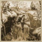 Clifton Gorge State Nature Preserve
 Hopewell Culture National Historical Park: Native American Artifacts housed in the Museum
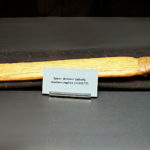 The Atlatl – An Ancient Hunting Weapon
After hiking the fort trail I can’t help, but think it may have been a fort. When you get to the top you are pretty exhausted and any enemy no matter how fit would be a little spent after the climb and once at the top they would have to fight! Also castles were fortifications for siege warfare. They weren’t self contained civilizations. The surrounding land was farmed and there were dwellings outside the castle.
My husband and I live just down the road from Fort Hill. We hike it every chance we get. Keeps us fit:) My husband loves all the big trees and I love the rock formations. We are very thankful for where we live.
Angela, we’ve only been to Fort Hill a few times, but we really liked the area. If we lived near it like you and your husband do, we’d be there all the time, too!
Hi Deb!! I’ve got this one on my “must see places” list for next Spring….god willing:-)
Jill, nice to see you here! I think you’d like Fort Hill if you can make it there. Gorge Trail had many different types of wildflowers, and the terrain was scenic, too. And I think that the dwarf larkspur were on Deer Trail. Since this was the first time I had come across dwarf larkspur while hiking, this was a fun find. 🙂
Very informative post. Enjoyed it. I’ve been looking for a road trip for the weekend. I think I just found it!
Thanks, Mike! If you made it out there this weekend, I hoped you enjoyed it.
I’ve enjoyed reading this post and found the comment interesting too. I might find that particular trail a little more difficult than I am used to. Thank you for sharing and all the information. I don’t know much about pawpaw. Are they edible and do they have any particular use.
Thanks, Patricia. It was a pretty vigorous hike. The fruit of the pawpaw tree is edible. I’ve been meaning to do a post on this tree, and maybe this will nudge me along. I had been waiting to get photos of the tree blossom which I just got yesterday.
…. Beautiful place, indeed! One thing jumps out at me, though: all the trees seem quite young – under 50 years old. No old growth forests there? If not, why not? Was the site heavily harvested in the recent past?
Interesting question – we plan a post on that topic, some time in the future. Ohio was almost completely deforested in the 19th century. Today a third of the state is forest – but mostly younger forest. Fort Hill lies in SW Ohio, so the answer to your question may be here.