Previously our posts have focused entirely on hiking destinations within Ohio, but like a lot of our fellow hikers, we also go hiking in the states that share a border with Ohio. In this post we discuss a trip just beyond Ohio’s southeast border to West Virginia. After crossing the Ohio River into West Virginia, we headed toward Seneca Rocks located in the Monongahela National Forest. The site is a rock climber’s paradise with a variety of climbing routes available. Not being climbers ourselves, we followed a foot trail that ascended 1,000 feet (305m) to an observation deck.

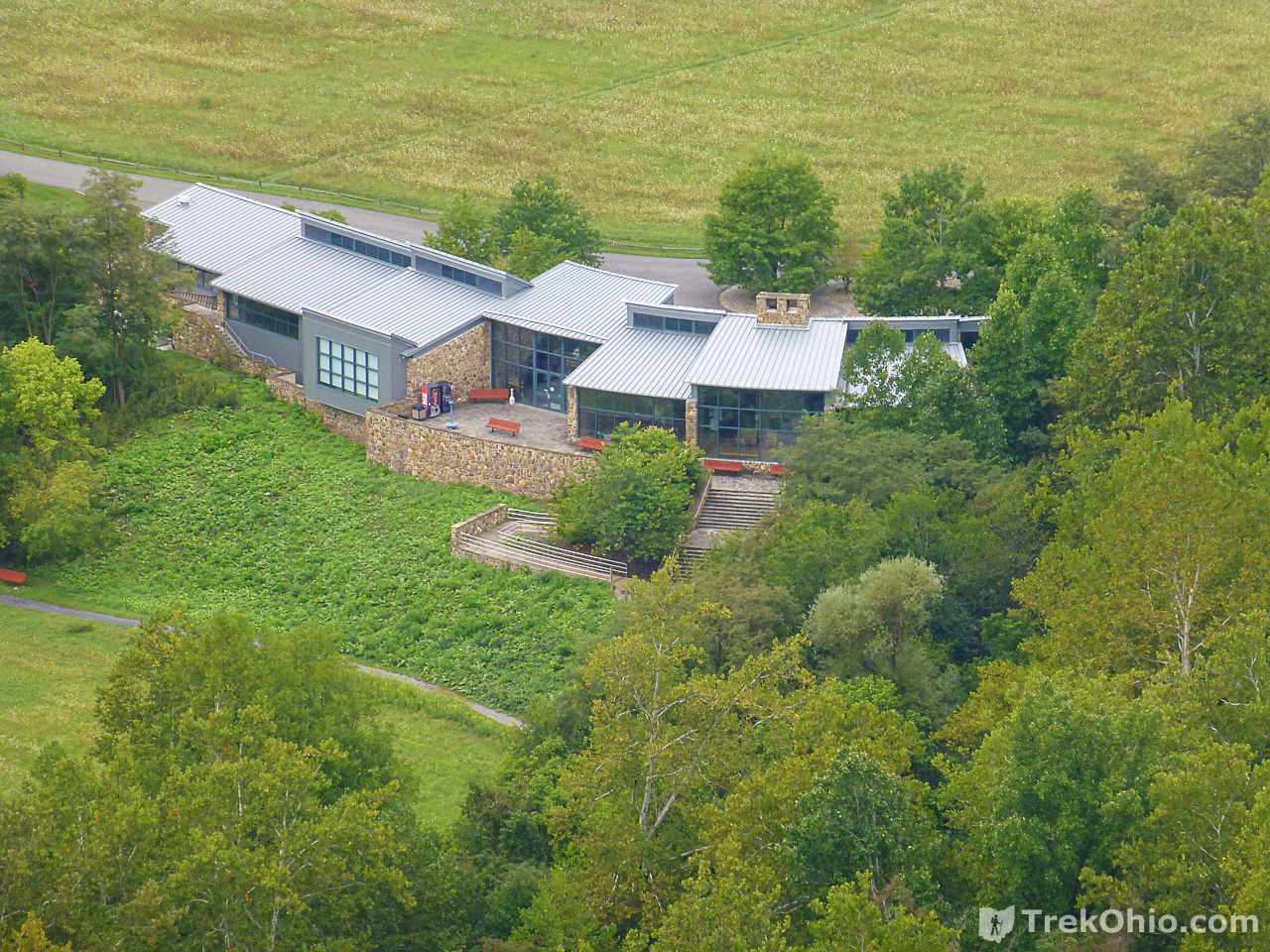
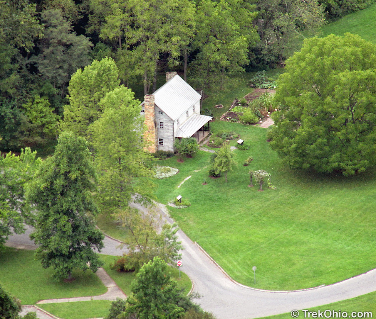
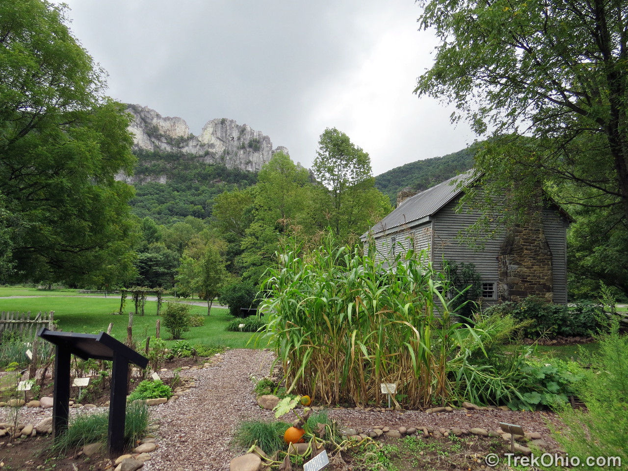
There are two parking areas for Seneca Rocks that are divided by a stream: one next to a Visitor’s Center, and another adjacent to the historic Sites Homestead that dates back to 1839. A short path with a bridge connects the two parking lots. We visited on a Monday and to our dismay both the visitors center and the homestead were closed. However we were still able to do our hike. The trailhead began near the homestead parking lot. There is also a latrine adjacent to this lot.

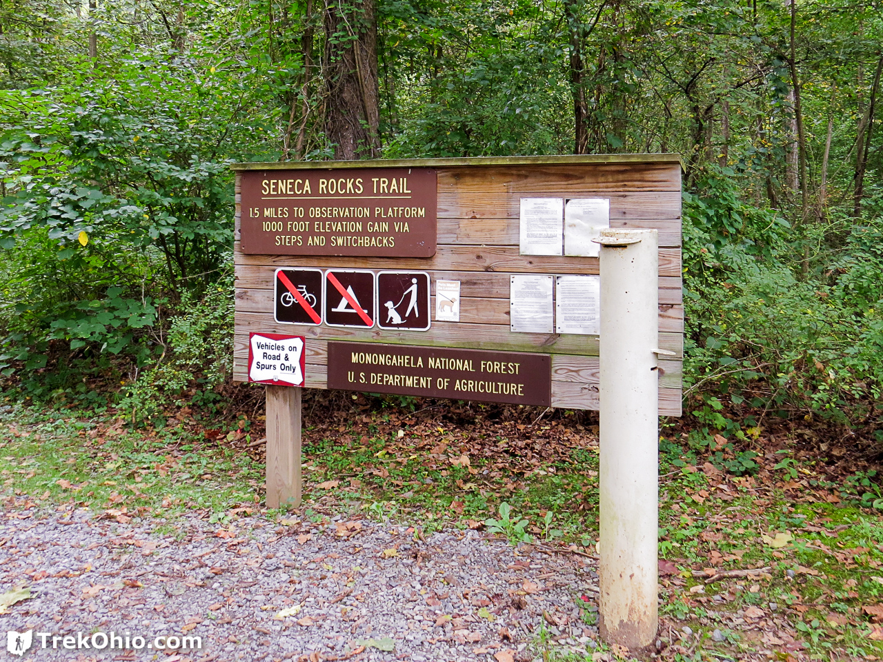
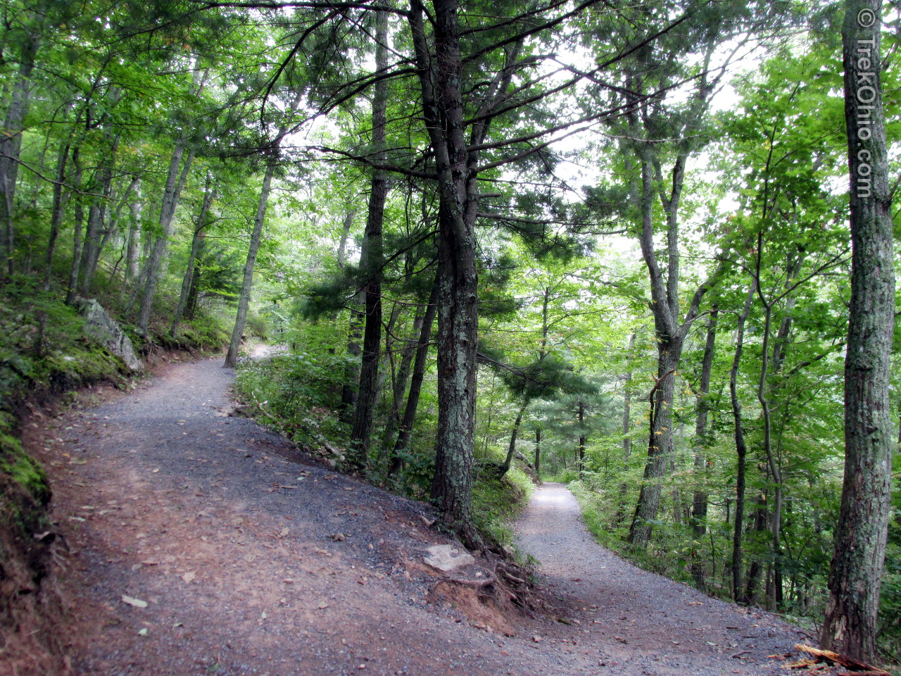
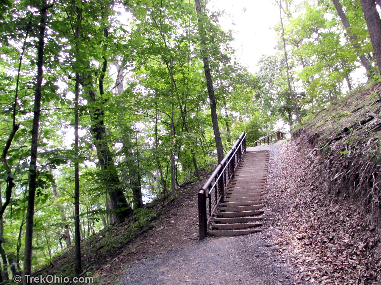
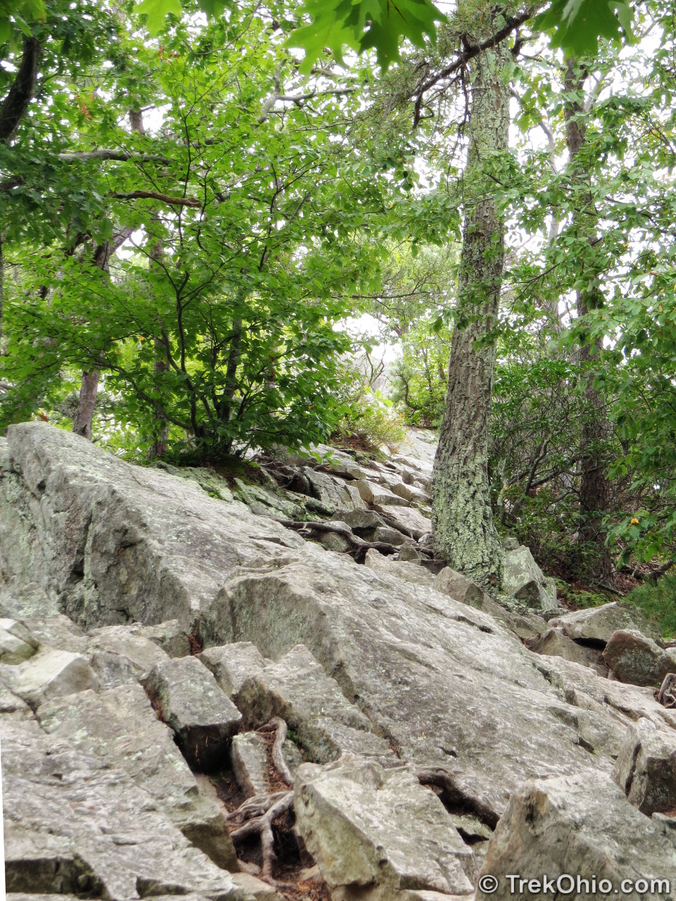
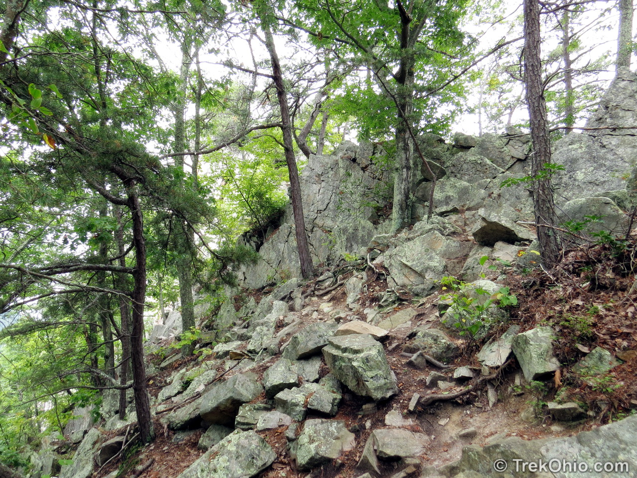
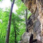
A sign at the trail-head identifies the trail and announces a distance of 1.5 miles (2.4km) one way and 1,000 foot elevation gain. In addition the sign indicated that hikers can bring their leashed dog along for the trip. Shortly after the sign, the trail crosses a pedestrian bridge over a small river and then starts upward. The trail is wide and includes stairs in places and a long series of switchbacks through the forested hillside. Below is the GPS trace of our hike, captured by using Google’s “My Tracks” app.


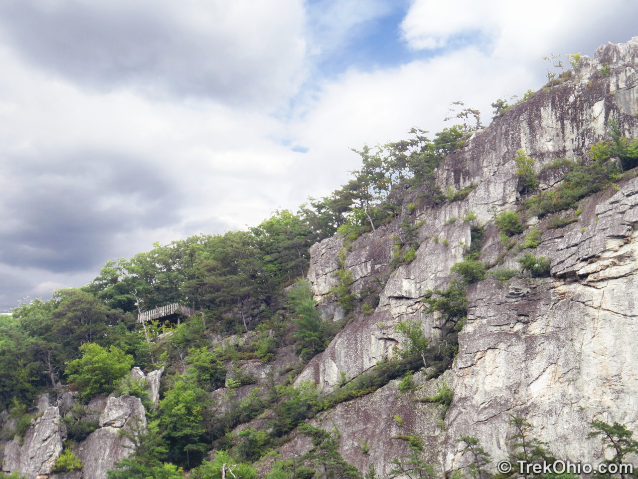
We arrived at the large observation deck at lunch time and spent some time there while enjoying a picnic lunch and admiring the magnificent view. From the observation area we could see the areas favored by climbers: jagged peaks of bare quartzite. The area features a rock-climbing school and the peaks offer 375 mapped climbing routes. During World War II troops in the 10th Mountain Division trained here in order to acquire the rock climbing techniques prior to shipping out to Italy.
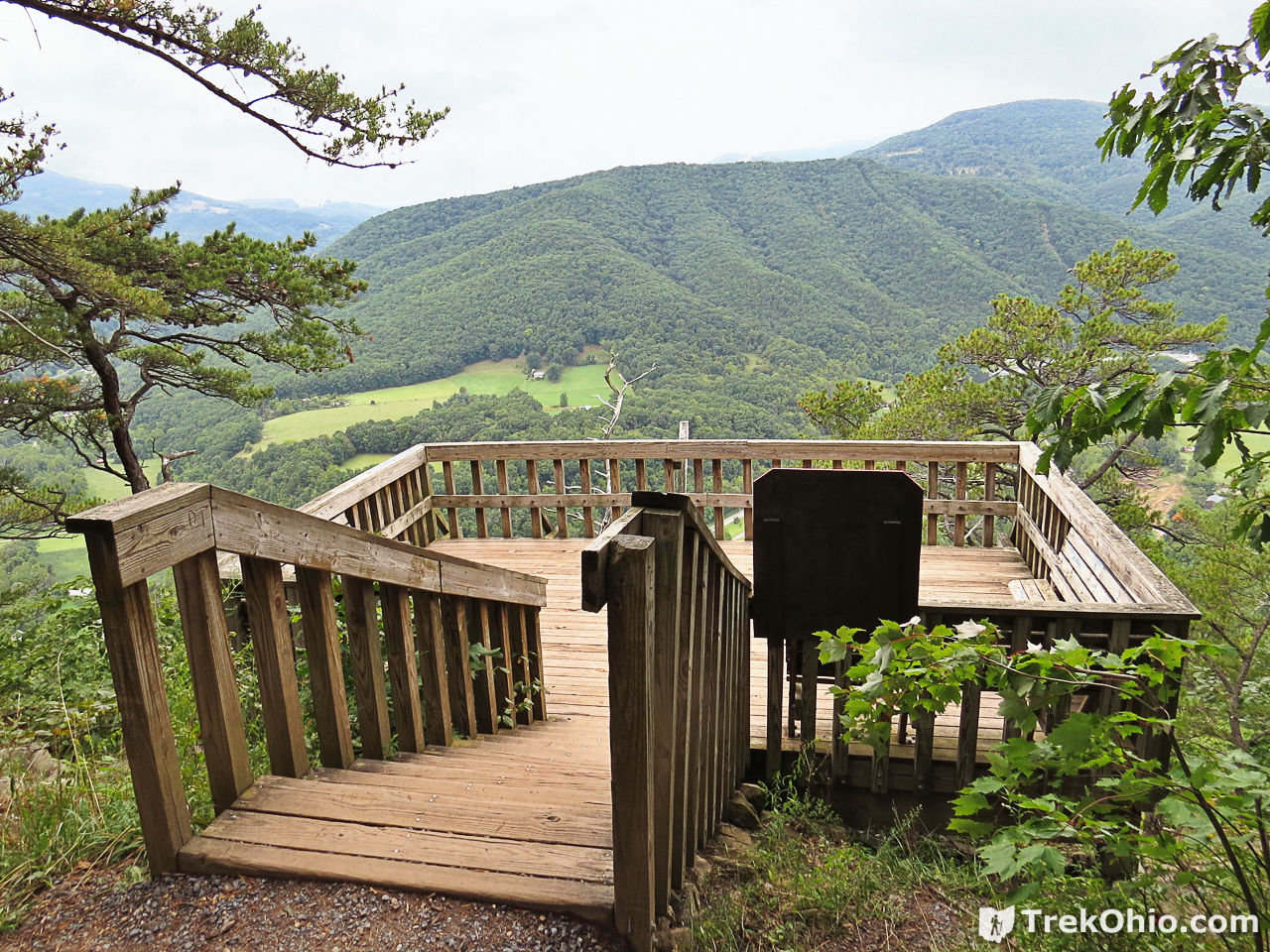

As far as we were concerned, the observation deck was the end of the line. A sign just above the observation deck explained the dangers of pushing onward.


After admiring the view and taking numerous photos, we began the trek back down to the parking area. When we had started our hike, I couldn’t see the observation deck from the valley, but after hiking to the deck, I knew where it was and could make it out from the homestead.
Although we were unable to enter the Site’s homestead, we did take the opportunity to inspect the grounds. For me the most striking thing about the homestead was the view from their property… just amazing. A sign on the property explained that the home was originally a single-room cabin, built by Jacob Sites in 1839. Early in the 1860s it was expanded into a two-story frame structure by Jacob’s son, William. William fought for the Confederacy during the Civil War. He was captured in 1862 and died shortly after his release. His descendants continued to live in and remodel the interior of the home until 1947. It later became a hay barn. The property was acquired by the U.S. Forest Service in 1969. The home was eventually restored to its previous glory in 1990.
I also enjoyed looking over the period garden installed near the home. It featured a number of old-fashioned plants that you don’t commonly see nowadays. In particular there was a focus on root plants that were “good keepers,” in other words that kept well over the winter in root cellars. Among the good keepers were Hanover rutabagas that were important to early settlers because they grew well in the area and were an important source of vitamin C. There were also a number of plants grown for their medicinal uses, such as the castor bean plant, whose oil could be used in a general-purpose tonic to “cure what ails you.” But my hands-down favorite was clary sage. I’ll quote the informative sign about it here:
This attractive flowering herb was used medicinally for female ailments. The fragrance is said to sooth a woman’s nerves during her period or through menopause.
So there you have it. We would have enjoyed going into the interior of both the homestead and the visitor’s center, but we had a great day nonetheless.
Additional information
- USD: Seneca Rocks
- USDA: Sites Homestead
- Wikipedia: Sites Homestead
- Wikipedia: 10th Mountain Division
Location
- Seneca Rocks Discovery Center
-
- Address: Roy Gap Rd, Seneca Rocks, WV 26884
- GPS Coordinates: 38.834952, -79.374469
- Google Maps: View on map or get directions
- Sites Homestead
-
- Address: Intersection of Route 33 & Route 55 in Elkins, WV.
- GPS Coordinates: 38.835935, -79.373394
- Google Maps: View on map or get directions
By clicking “View Larger Map” in the embedded map below, you can request directions to this destination via Google Maps.
More Parks with Interesting Geological Features
 Cuyahoga Valley National Park: Ledges Trail
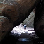 Nelson Kennedy Ledges State Park
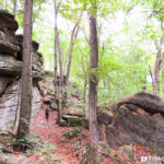 Thompson Ledges
 Liberty Park: Ledges Trail
Awesome information and greatly detailed for my trip. You saved me much fumbling around trying to find the information. Thanks so much!!!
Jannette, I’m glad that our article helped. Have a great trip!