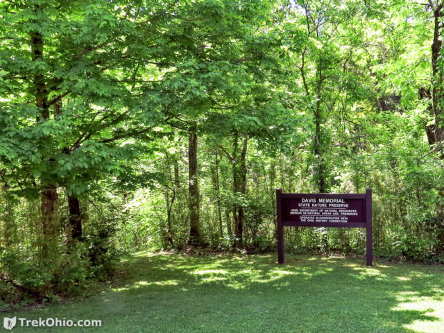
Davis Memorial State Nature Preserve is one of the more interesting geological sites in Ohio. There are six fault lines in Adams County. Surprisingly, one of these fault lines is visible within the preserve. In addition Adams County is one of the few places in Ohio where you can observe rock outcroppings made of dolomite (sometimes called dolostone). Dolomite and limestone are both said to be calcareous due to their high calcium content, and both are alkaline. They even resemble each other visually. However unlike limestone, dolomite has a high magnesium content. The alkaline, magnesium-rich soil found in Davis Memorial supports 15 species of plant that are rarely found in our state which makes it interesting to naturalists.
Getting Oriented
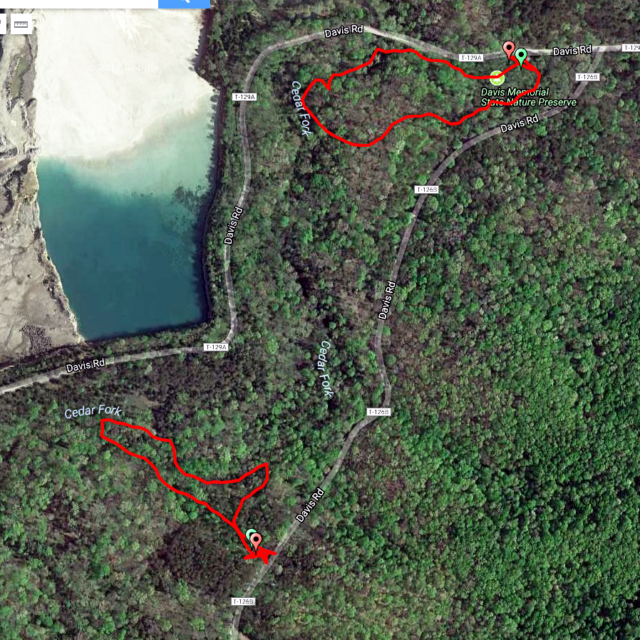
There are three trails from which to choose. Two are loop trails, each about a half mile in length. The Buckeye Trail also passes through the length of the preserve (north to south). During our May visit, we decided to hike the two loop trails. Below is a GPS trace of our hike (available online at Google Maps).
Main entrance — Sullivantia Loop Trail
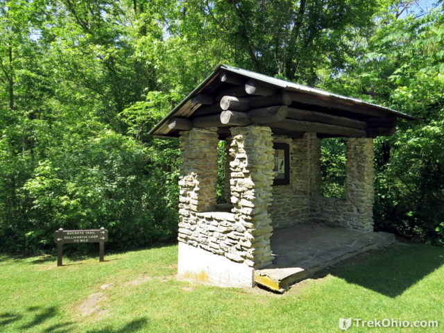
The main entrance is the one to the north. There is an impressive, stone-masonry kiosk just off the parking lot. As you can see in the photo below, the trail head is just behind it and to the left.
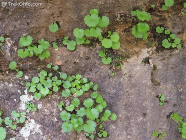
This trail is named after a rare plant that grows in the park, Ohio sullivantii, also known as “coolwort”.
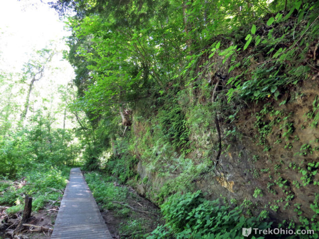
A portion the trail is boardwalk which eventually follows along a dolomite cliff face.
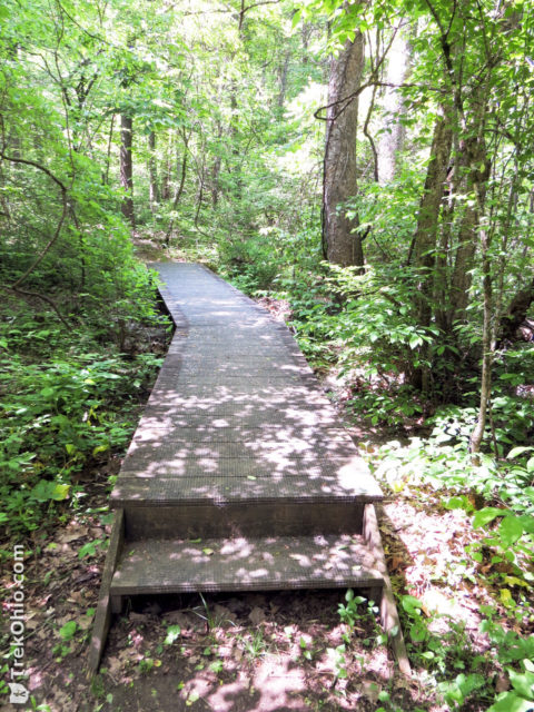
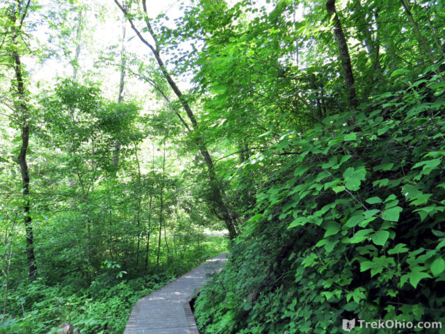
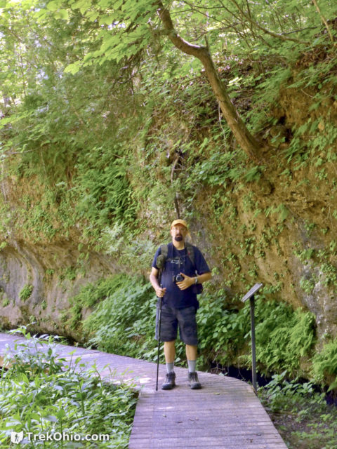
The plant which is the trail’s namesake was growing on the side of the cliff. It prefers to grow on moist, partially shaded calcareous cliff faces which is why it is a rare plant since few areas meet these requirements. It blooms in June (about a month after our visit) and produces clusters of tiny white flowers.
After this the boardwalk ended, and we continued on the dirt trail.
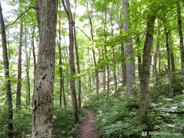
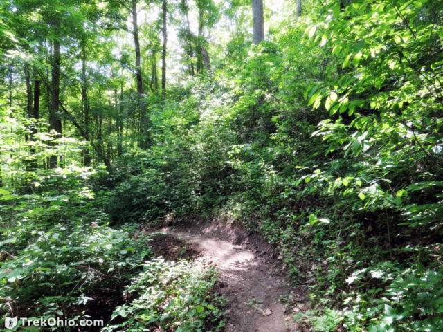
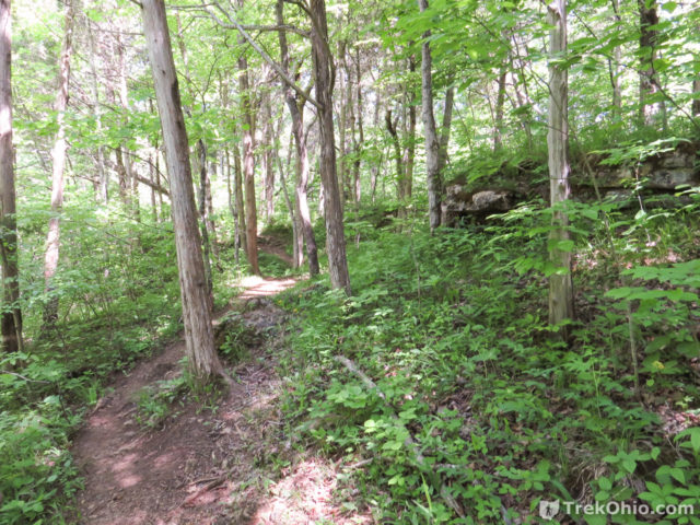
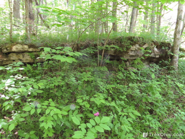
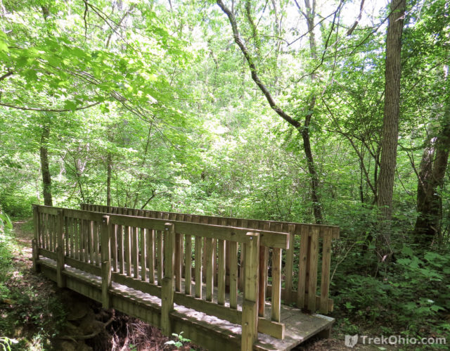
After completing the Sullivantia Loop Trail we hopped in the car and drove to the south entrance.
South entrance — Agave Ridge Trail
The parking lot is smaller than at the main entrance, and the trail starts right in front of your parking spot.
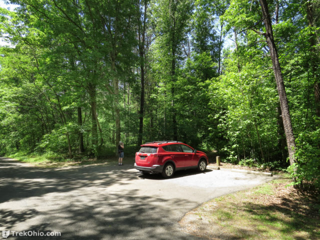
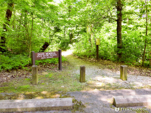
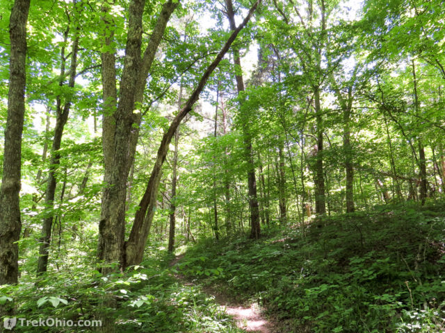
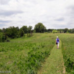
Shortly after entering the trailhead, the trail forks. The left fork is the Buckeye Trail, but for this trip we chose the right fork and hiked the Agave Ridge Trail.
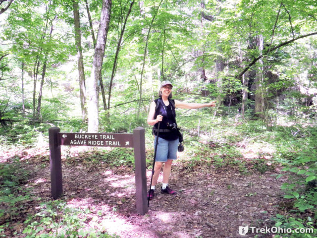
Agave Ridge Trail — Fault line
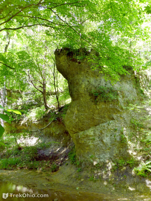
This is the trail that passes the fault line. As you approach the creek, Cedar Fork, there is a sign explaining the location of the fault line which is visible in the creek. The dolomite outcropping pictured below is to the left of the fault line.
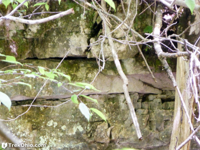
To the right of the fault line is fractured-looking Greenfield Dolomite.
Now if you look down at the bed of the creek, you can see the fault line. The sign explains that it is only visible when the water is clear. Lucky for us, it was clear while we were visiting. Although you can only see the fault line in the creek bed, the fault line is actually six miles long.
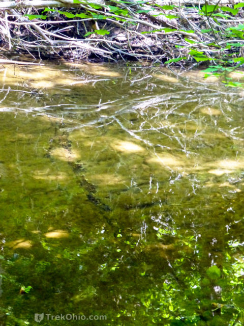
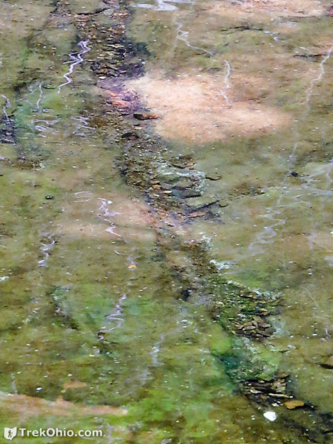
According to the sign, whenever the bedrock is cracked like this, it’s called a joint. However, when the bedrock on one side of the joint moves with respect to the other side, the joint becomes a fault line.
Flora
Because we were there in May, there were a number of plants and wildflowers that caught my eye.
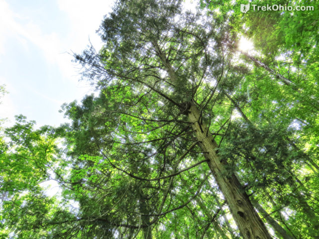
The evergreen tree above is most commonly found in eastern Canada and the northern United States. During the last advance of glaciers into what’s now the United States, a lot of northern tree species moved south in front of the glaciers. When the glaciers retreated, some of these northern tree species stayed behind in pocket habitats that continuted to support the species.
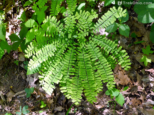
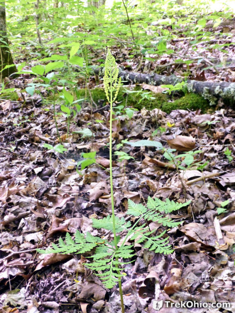
The above fern is called a “grape” fern because the structure at the top of the plant resembles a bunch of green grapes. For more on ferns, see our post, Basic Fern Identification.
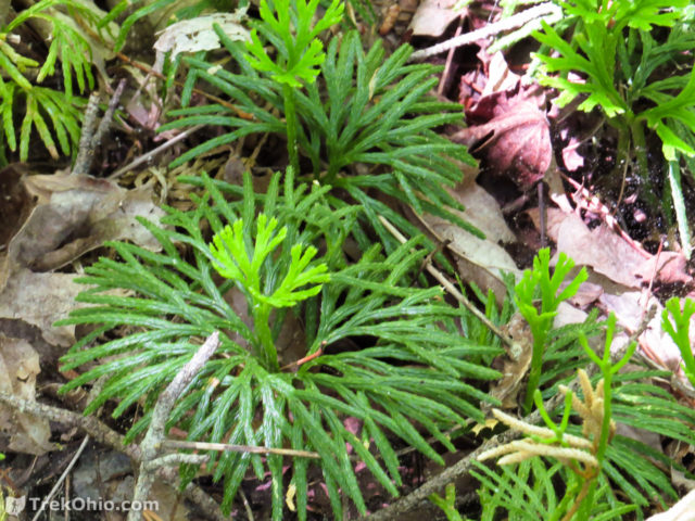
The “leaves” of the plant above looks a lot like the needles of the northern white pine; that’s how it got one of its common names, ground pine. However, it is totally unrelated to pines. It is a primitive plant that reproduces via spores just like ferns do, and for that reason it is called a fern ally. Because these particular spores are very high in fat, it turns out they can be ignited. Photographers once used the spores to take early flash photos by burning them. For more information on that, see our post, Ground Cedar and Its Combustible Spores. We also published a video where Bob walks through a large patch of these plants when the spores were fully developed and ready to be released. So many spores flew into the air, it looked like smoke! To see that check out our post, Kicking up clouds of spores.
Below are a few of the wildflower that we saw.
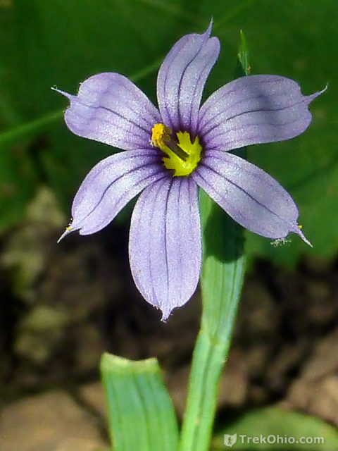
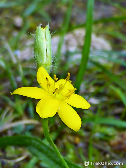
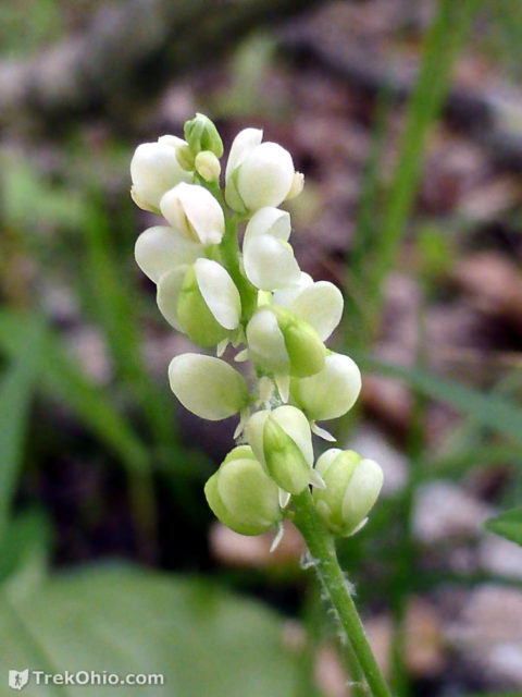
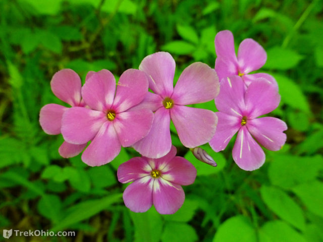
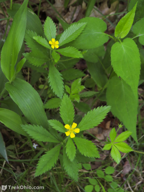
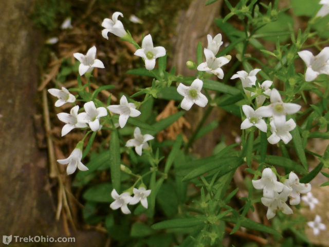
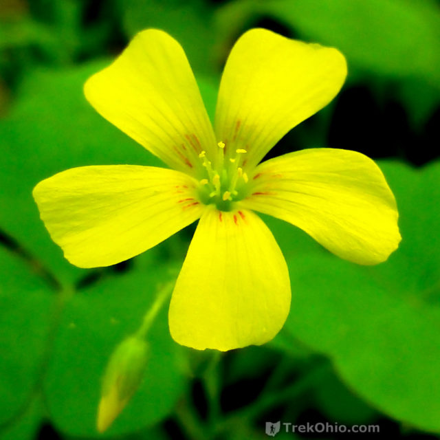
We also noticed the large, orange mushroom below.
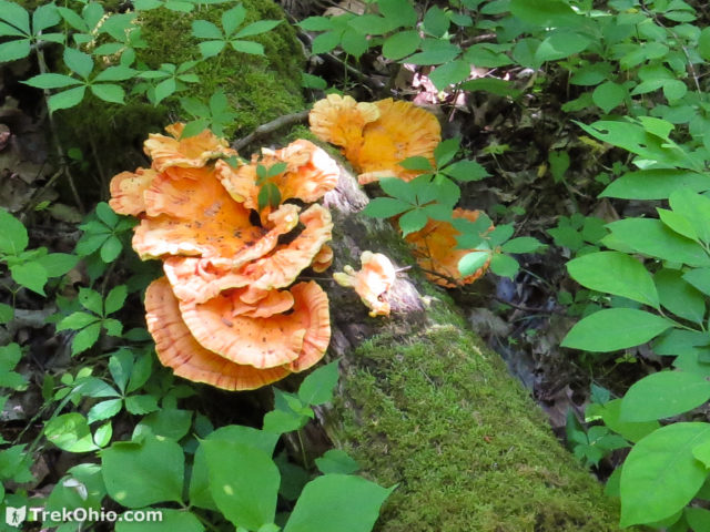
We enjoyed our short hike, and it was interesting getting to see an Ohio fault line. When I am in the neighborhood again, I would like to try hiking the segment of the Buckeye Trail that passes through the preserve.
Additional information
- TrekOhio: Adams County Parks & Nature Preserves — This is the county where Davis Memorial State Nature Preserve is located; check out this page for links to the official website and for information on nearby parks and preserves.
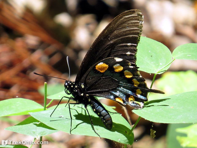
- TrekOhio: Eastern Tiger Swallowtail Butterflies and Black Butterflies of All Sorts
- TrekOhio: Basic Fern Identification
- ODNR (Division of Geological Survey): Bedrock Map of Ohio (PDF)
- Univ. of Dayton: Geology Of Ohio — The Silurian
- NASA: The Migrating Boreal Forest — Discusses how northern trees moved south as the glaciers advanced, and then returned toward the north as the glaciers retreated again.
Location
- Main (north) entrance for the Davis Memorial State Nature Preserve
-
- Address: 3590 Davis Rd, Peebles, OH 45660 (according to Google Maps)
- GPS Coordinates: 38.940133,-83.3541143
- Google Maps: View on map or get directions
- South entrance for the Davis Memorial State Nature Preserve
-
- Directions: From the Main entrance, go east on Davis Road for about 490 feet, then turn right to continue on Davis Road for about a half mile. The south parking lot will be on your right.
- GPS Coordinates: 38.934254,-83.3579222
- Google Maps: View on map or get directions
More on Adams County

One of my all-time favorite parks in Ohio!
I’m surprised you didnt mention the small cave in the creekbank at the bottom of the Aguave trail
I’m surprised to hear that there is a small cave there. DOH! We somehow missed it.