By visiting Blackhand Gorge Nature Preserve, you can trace Ohio’s long history of transportation.
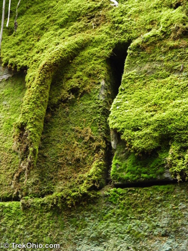
Native Americans navigated the Licking River for centuries before the arrival of European settlers. There is a cliff made of Blackhand sandstone rising on the north side of the Licking River. In prehistoric times, Native Americans inscribed a petroglyph on this cliff; it looked like a very large, black hand. Not only is the gorge named after this petroglyph, but the class of erosion-resistant sandstone on which the petroglyph appeared has become known as “Blackhand sandstone” throughout Ohio.
Early settlers also used the waterway, eventually modifying it for barge traffic in the early 1800’s. This portion of the Licking River was incorporated into the Ohio & Erie Canal. Canal engineers removed the outer surface of the cliff to make room for a tow path. During the canal era, mules or oxen walking on such a path would pull barges along. Sadly the petroglyph was destroyed to make room for this tow path.
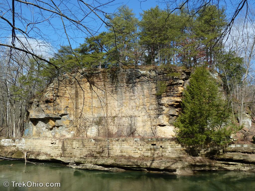
The masonry making up the barge tow path can still be seen at the bottom of the cliff.
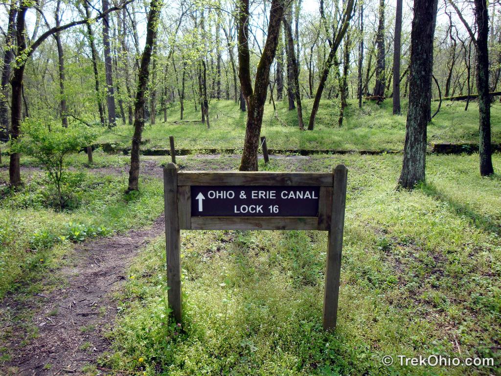
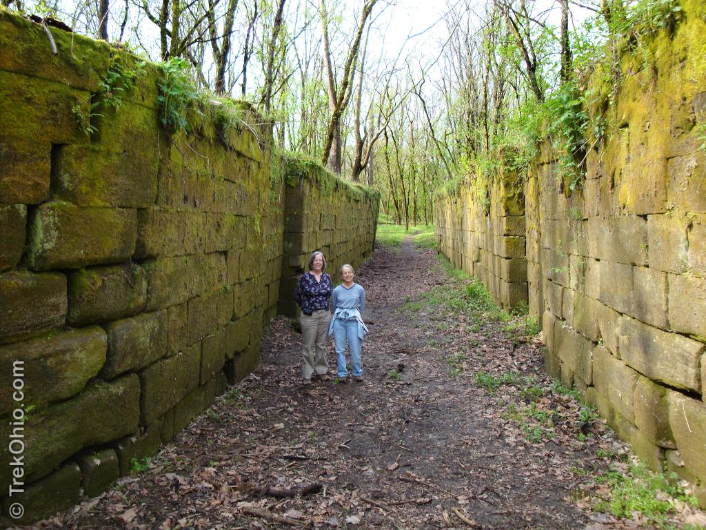
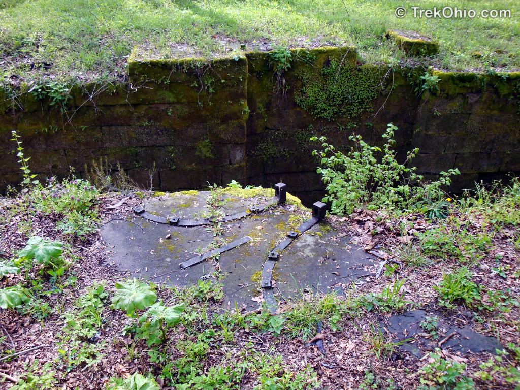
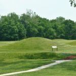
The engineers decided to route barge traffic around one section of river and built a side channel with a lock. All the locks of the Ohio & Erie Canal were assigned a number. This one is Number 16. When barge traffic ceased, both the channel and lock we’re left high and dry within a forest.
Barges were soon superseded by the steam locomotive. Rails were laid on the south side of the river. This involved blasting a path through stone outcroppings, such as “Deep Cut” picture below. By 1851 the sound and whistles of the B&O rail steam locomotive could be heard echoing through the river valley. Today 5 miles of paved bike path have replaced the B&O rail line. During warm weather you’ll find pedestrians and cyclists enjoying the scenery.

Cyclists and pedestrians now travel where a steam-powered train once rolled.
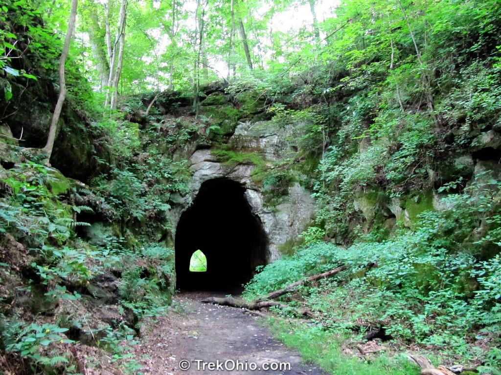
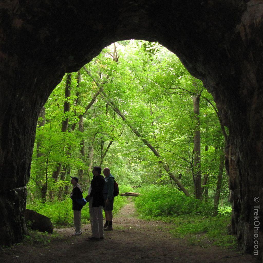
By the end of the 19th century, an electric Interurban train network connected cities and towns across Ohio. One of the last pieces of the network connected Granville to Zanesville. This stretch of rail traversed the north side of the river gorge and required a tunnel over 300 feet long through a large rock outcrop. By 1903 the tunnel was finished and the line was open. Residents of Zanesville could travel to Newark and Granville, on to Columbus, and from there to practically anywhere in the state. (Map of Interurban rail network)
With the coming of the car and a state road system, ridership dropped off and the train ran for the last time on February 15, 1929.
In the 1950’s Dillon Dam and its reservoir were built on the Licking River several miles to the east of the gorge, and the rail line on the south side of the river had to be re-routed. The new route no longer follows the river, but crosses it on a bridge high above the river.
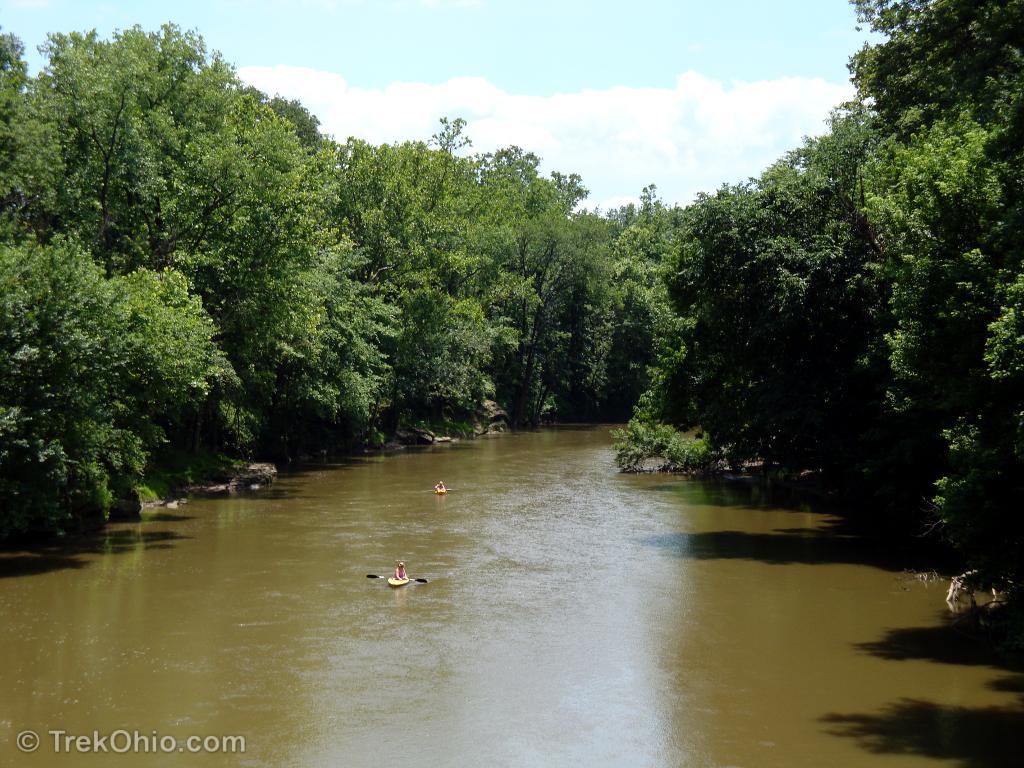
The river is still popular with canoeists and kayakers. Despite the breadth of the river, this section is relatively shallow and without rapids, so even beginners can tackle it.
For further information see Hiking Trails at Blackhand Gorge.
Additional information
- TrekOhio: Blackhand Gorge: Hiking Trails — For information on hiking in this area.
- TrekOhio: Licking County Parks & Nature Preserves — This is the county where Blackhand Gorge is located; check out this page for official links and information on nearby parks and preserves.
Location
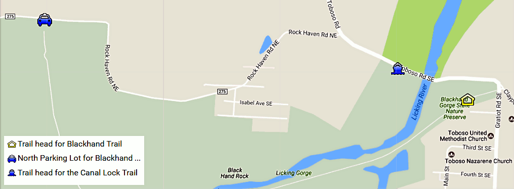
- Main entrance and trail head for Blackhand Trail (house icon below)
- Address: 2200 Gratiot Rd SE, Newark, Ohio 43056
- GPS coordinates: 40.056067,-82.218333
- View and get direcitons from Google Maps
- Trailhead for the Canal Lock Trail (boat icon below)
- GPS coordinates: 40.057203, -82.221600
- Directions from Main entrance Use west exit from the parking lot and turn left (west) on Toboscoe Road SE; cross bridge over Licking River. Shortly after you will come to the driveway for a parking lot on the right. Park there. The trailhead is a bit farther west and on the opposite side of the Toboscoe Road.
- North Parking Lot for Blackhand Gorge (car icon below)
- Address: 4480 Rock Haven Rd NE, Newark, Ohio 43055
- GPS coordinates: 40.0587434,-82.2393847
- View and get directions from Google Maps
More on Native American History
 Hopewell Culture National Historical Park: Mound City
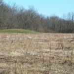 Battelle Darby Creek Metro Park: the Voss Site
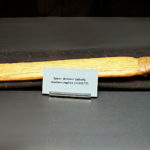 The Atlatl – An Ancient Hunting Weapon
 Serpent Mound