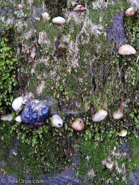
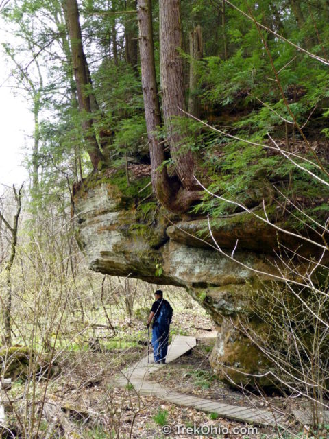
There are three trails at Lake Katharine. When we visited mid-April we hiked Salt Creek Trial and then Calico Bush Trail, but we didn’t have time for the Pine Ridge Trail. The preserve struck us as being very scenic, and many spring flowers were in bloom during our visit. The Ohio Department of Natural Resources (ODNR) lists Lake Katharine as being one of the eight best preserves in the state for viewing spring wildflowers. The terrain is also interesting; it features many sandstone cliffs and outcroppings. If you look closely at the sandstone, you might notice round, quartz pebbles embedded within it. These pebbles were smoothed while rolling along the bottom of the ancient Teays River, a river system that was destroyed by glaciation some two million years ago.
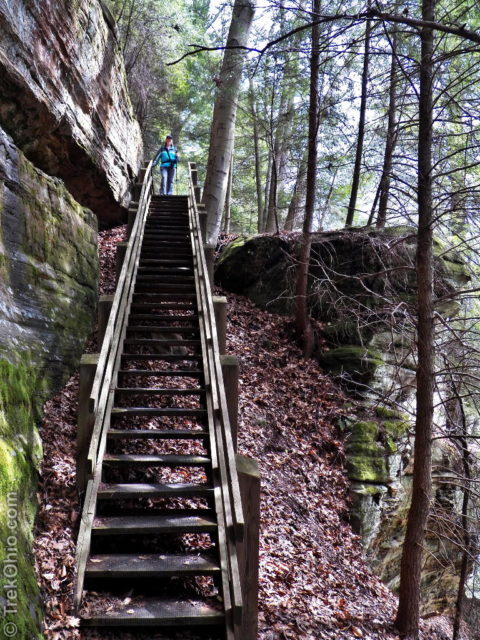
Salt Creek Trail
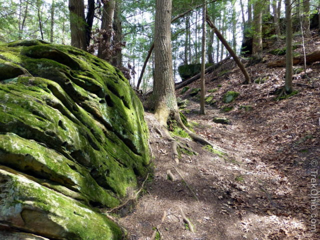
We traveled counter-clockwise along this loop trail. After going downhill a short ways, we started encountering outcroppings of the sandstone bedrock, and soon afterwards we were on a trail that hugged the side of cliff while it continued descending until it reached the flood plain below. We saw many spring wildflowers along this trail.
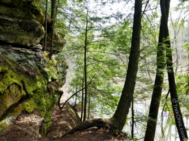
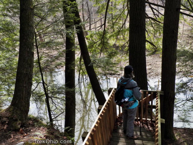
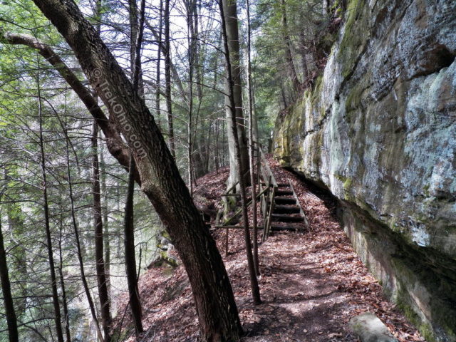
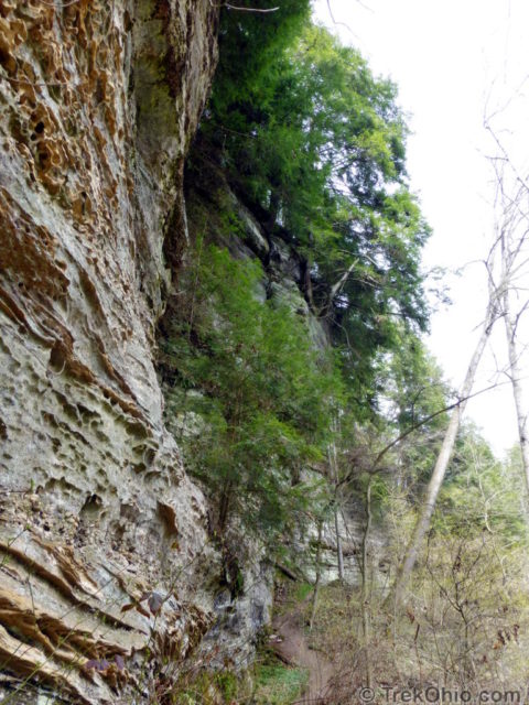
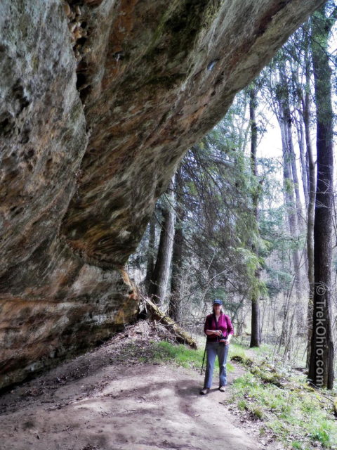
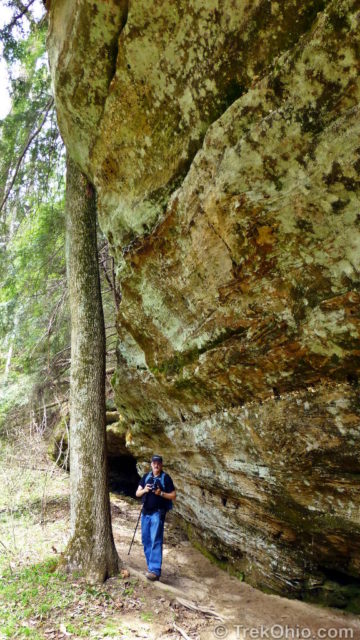
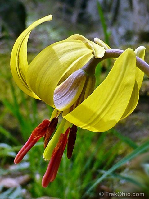
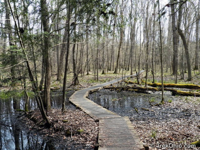
At this point the trail pulls away from the cliffs. You have a choice here between the “Long loop” and the “Short loop”. Bob and I chose the Long loop which led us across a wetland on a boardwalk. We continued to see spring flowers on either side of the boardwalk.
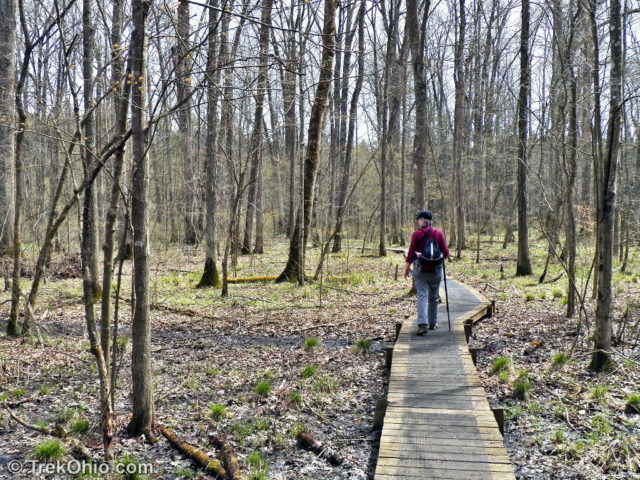
After crossing this plain, Salt Creek Trail lead us past the hill pictured below and towards Salt Lick Creek. As we walked along the creek we passed through an evergreen grove. Although our side of the creek wasn’t that elevated, we could see cliffs on the opposite side. We also saw many signs of beavers eating bark on the trees near the creek’s edge.
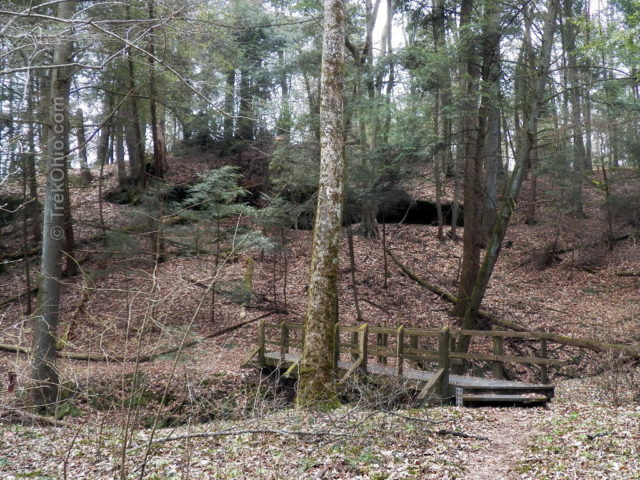
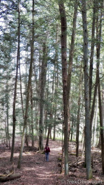
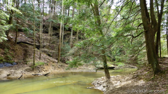
Eventually the trail pulled away from the creek and we began going uphill in the general direction of the parking lot.
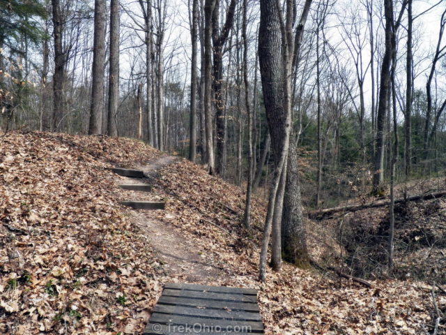
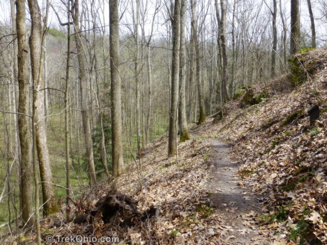
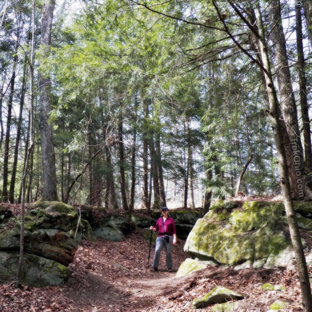
Once back to our car we crossed to the other side of the parking lot and had a choice between the Pine Ridge Trail and the Calico Bush Trail. We decided to try the Calico Bush Trail. The trail’s namesake, the “Calico Bush,” lines portion of the trail. I had never heard of this bush, but it turns out that this is the name early settlers used for Mountain Laurel. Although this trail lacked the high cliffs of of Salt Creek Trail, Calico Bush Trail had many, large sandstone outcroppings. A portion of the trail goes along the edge of a bluff with a steep drop to one side.
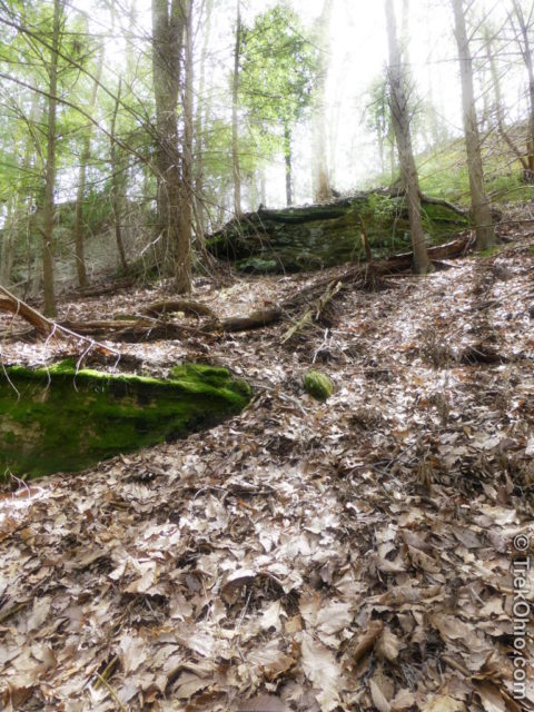
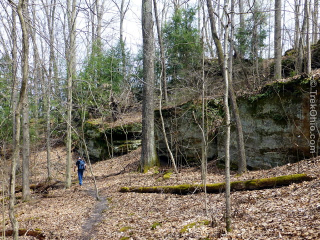
As we looked at the hills above the trail, we saw many sandstone outcroppings forming ledges along the hillside.
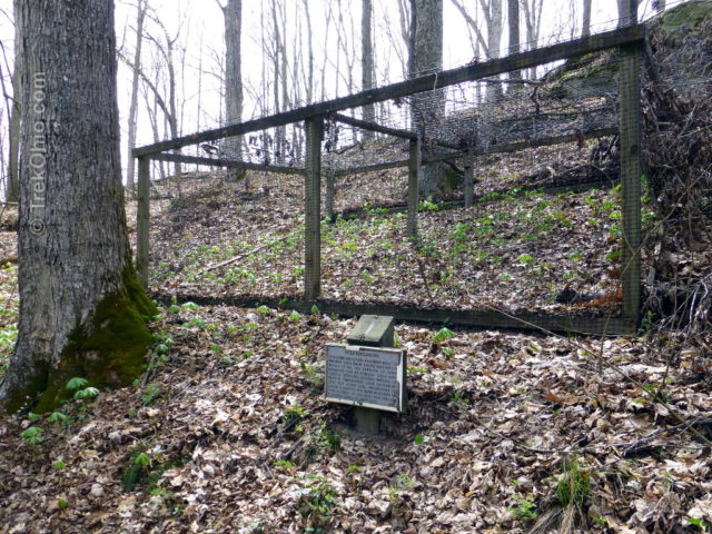
People become concerned about over-grazing when a deer population becomes too large. One way that wildlife officials can gauge the impact of over-grazing is by creating a fenced region called a “deer exclosure” in which vegetation can spring up without immediately being munched on by deer. The sign in front of the deer exclosure pictured below said that in 1993 only two trillium plants could be spotted in all of the Lake Katharine nature preserve. When plants disappear like this, the vegetation supports fewer species. Although there are many more flowers now than in 1993, some people remain concerned that deer are eating too much of the preserve’s vegetation.
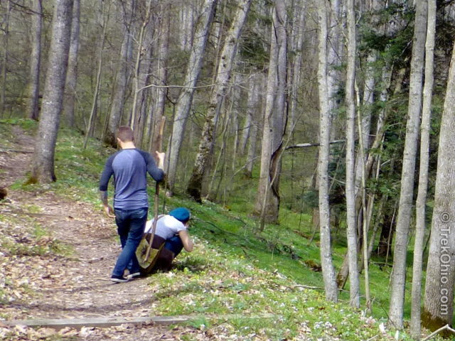
I enjoyed viewing and photographing wildflowers during our hike which is one of the reasons that we didn’t have time to do all three trails. However, I wasn’t the only person enjoying the wildflowers. I saw many other people stooping low to examine or photograph spring wildflowers which are often quite small.
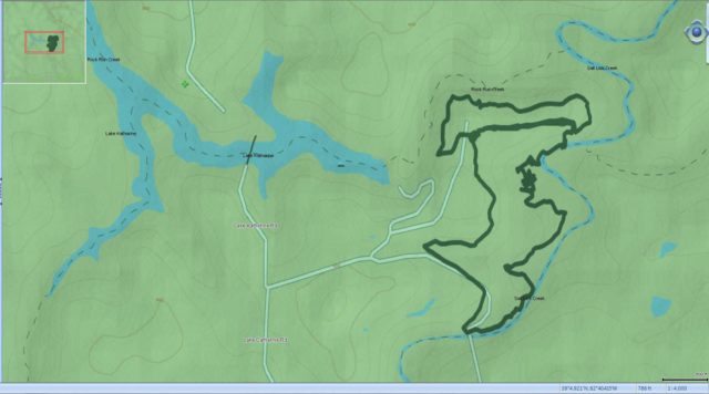
We couldn’t find any online trail maps before going to Lake Katherine, so we decided to publish this GPS trace of our hike for others. It shows the Calico Bush Trail (the smaller, top loop) and the Salt Creek Trail (the larger, bottom loop). The Google Map appearing toward the end of this post also highlights these two trails.
As to the third trail that we skipped during this visit, we have since learned that the Pine Ridge Trail includes views of the following:
- Lake Katharine and its spillway
- a natural stairway waterfall, and
- a grove of Big Leaf Magnolia and Umbrella Magnolia
Update: We made a subsequent visit to hike the Pine Ridge trail. Follow the link below for details.
Additional information
- TrekOhio: April Wildflowers at Lake Katharine State Nature Preserve
- TrekOhio: Lake Katharine – Pine Ridge Trail
- TrekOhio: Common Spring Wildflowers in Ohio
- TrekOhio: Jackson County Parks & Nature Preserves; brief overview of Lake Katharine plus other parks in Jackson County.
- ODNR: Ohio’s Spring Wildflowers; lists Lake Katharine Nature Preserve as being one of eight great preserves for viewing spring wildflowers.
- ODNR: Ohio’s Ancient Nile – The Teays River; the sediment of this river formed the sandstone bedrock found at Lake Katharine State Nature Preserve.
Location
- Address: 1703 Lake Katharine Rd., Jackson, Ohio 45640
- Directions: Once you are in the general area, it’s 2 miles west of Jackson on State Street (County Road 76 or Beaver Pike); turn right and proceed 2 miles north on County Road 85 (Lake Katharine Road).
- GPS Coordinates: 39.085967, -82.669583
- Google Maps: View on map or get directions
More on Jackson County

So very beautiful… I’m always in awe of those geological constructs in your area!!
Thanks, FeyGirl. 🙂 I’ve been in the southwestern part of the state lately, and instead of sandstone cliffs, they have limestone cliffs. For some reason the limestone cliffs weather in such a way that they look like bricks.
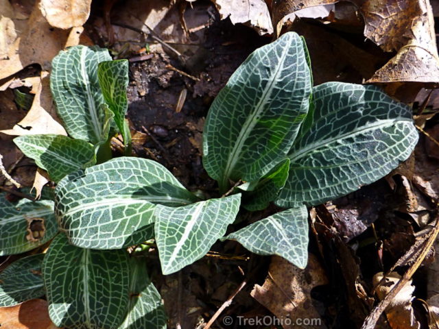
looks like an awesome place, that rattlesnake plantain is pretty love the stripes on the leaves, would love to see the flowers when in bloom, and the trail itself looks rugged and somewhat difficult. that lilly was very pretty, as soon as I can i hope we can go to some of our parks to see some flowers too, but haven’t been able to for various reasons. my ankles have been bothering me and my knees were hurting for a while a couple of weeks ago and I had to many chores to do that tired me out, (outside chores). don’t get me wrong I love working in my yard and I love the trails too. but my physical abilities to do it all is limited.
When you don’t feel up to going out you just have to listen to what your body is telling you. Last month I was at the Overlook Trail at Cascade Valley South in Summit County. Have you ever been there? It’s a half-mile trail… I’m not sure if that’s too long. But the view was fantastic. I made a mental note that this seemed like a good place to view fall color.
been there yes, it has a really nice view, it is next to the bird sanncturay there that is gated and you have to park on one of the dead end roads and hope you hit the right trail. i walked up the road to the santuary once and the road was in serious disrepair, shame, it looked like a nice park, you can see parts of itfrom the cascade valley chuckury trail at the river when you sit on the bench there overlooking the river. one of my faviorite trails I used to be able to walk is adams run in the cuyhoga valley park, it is over 3 miles and I like the changes in geography there and I like the old carriage trail near twinsburg? it is over five miles, and has alot of up and downs, but I cant walk it like I used to. I mostly go to the parks with shorter trails or a combo of them, my hubby loves quail hollow park in stark because of the garden they are always adding to it and he like to see what kind of plants grow in this area.