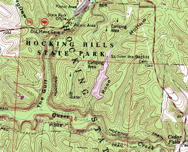
Topographic maps provide information on the geographic features and terrain contours of a given area. You can see where the lakes, streams, fields and forests are located. Brown lines depict changes in elevation and let you know where the ridges and hollows are located. As with a street map, roads, highways, towns, and villages, and political boundaries are also depicted.

With a compass and a good topographic map, you can travel cross-country through areas without trails and reach your desired destination. I rarely travel cross-country these days, but knowing how to read a topographic map is a useful survival skill if you get lost. A good topographic map is also useful to hunters for finding game and to fisherman for locating just the right fishing spot.
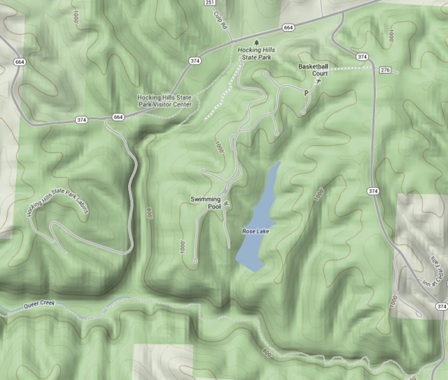
Way back when, I used to purchase topographic maps by mail from the US Geological Survey. Today, you can obtain maps on-line or even on mobile devices. In Google Maps, select the Terrain Layer to view topographic maps. Similarly, you can view Google topographic maps via smartphones or tablets with the added benefit of locating your position on the map via the on-board GPS chip.
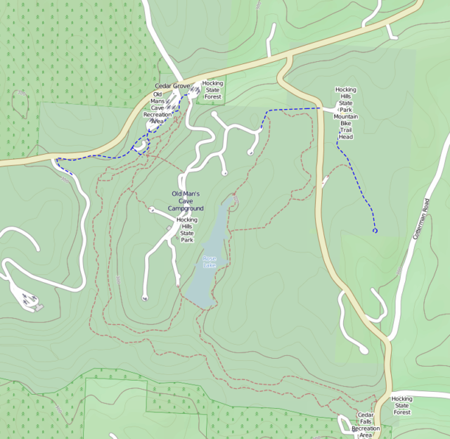
I sometimes take along a Magellan handheld GPS while hiking. The GPS manufacturer includes a base road map and offers topographic maps for sale. There is a site called Open Street Map that offers free open source maps. The site can be viewed from a browser. The topographic layer is called Cycle Map. A site in the Netherlands called Maps4me has ported the topographic maps from Open Street Map and made them available for download and installation on a Magellan GPS. I use these maps with my handheld GPS.
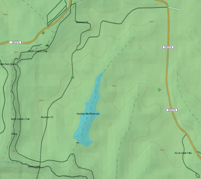
Finally, there’s a site called the Libre Map Project that has a free set of topographic maps covering the whole country. These maps are large and very detailed. Go to the site, select the state, then the county, and then select a sub-area of the county (by name) and download the map as a TIFF image file. You’ll probably need a tool to view the image file. For Windows users, I recommend the free image viewer IrfanView. For Linux users, Gthumb, Mirage, and GIMP will all work with TIFF files. You can also use these image viewers to print the map, or to convert the file to other formats such as GIF, JPEG, or PNG prior to transferring it to a mobile device.
Additional information
- Google Maps
- OpenStreetMap.org
- Maps4me.net
- Libre Map Project – Ohio Topographic Maps
- Libre Map Project – US Topographic Maps
- IrfanView
- Bob Neinast writes about LIDAR Maps – another type of terrain mapping
- YouTube Video: Topographic Map Reading
Is there a resource where on could get rendered lidar maps? And how would that be done? I would appreciate your attention to this question as it is pertinent to my research and I have few resources. Thank you, Craig
You might want to contact Bob Neinast (see above link) who’s found a source for Ohio LIDAR data.
Great post! I used topo maps everyday in my career with ODNR.
I like being able to get topo maps on-line. Much more convenient than the days when I’d order paper copies by mail. What did you do for ODNR?