The Augusta-Anne Olsen State Nature Preserve occupies 132 acres of Huron County. At one point it was named the Vermilion River Preserve, but it was renamed after the woman whose initial donation of land to the state made the preserve possible. Among other things the preserve is known for its large variety of spring wildflowers. We visited May 20th of this year with the hope of seeing some of the spring wildflowers.
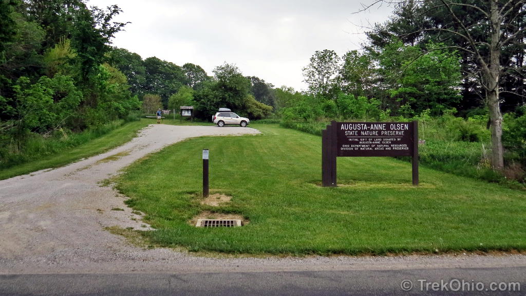
The entrance to the preserve is well-marked, and there is a kiosk near the parking area with a trail map. I’ve also included a GPS trace of our hike at the end of this post. You might note that the GPS trace doesn’t entirely match up with the official trail map even though we stayed on the trails. We explored the River Trail, the River Loop Trail, and part of the Old Field Trail
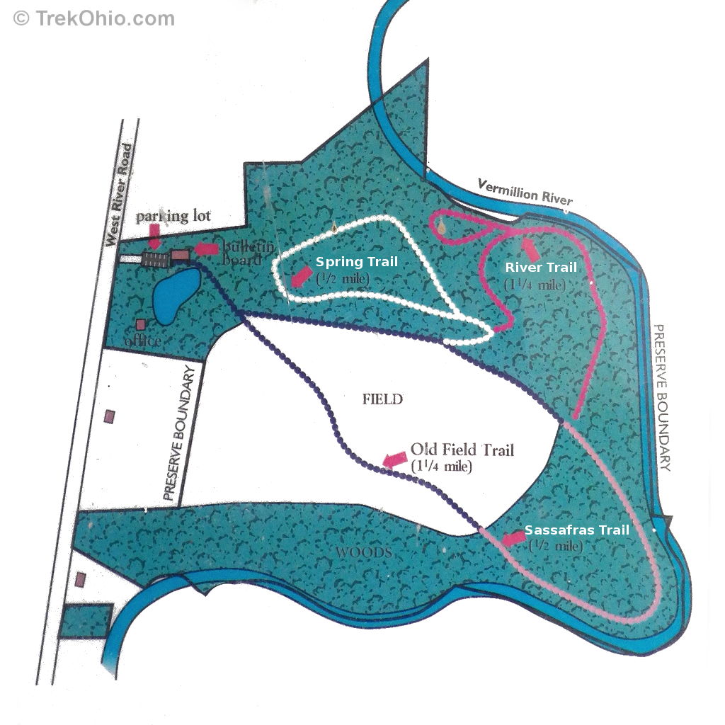
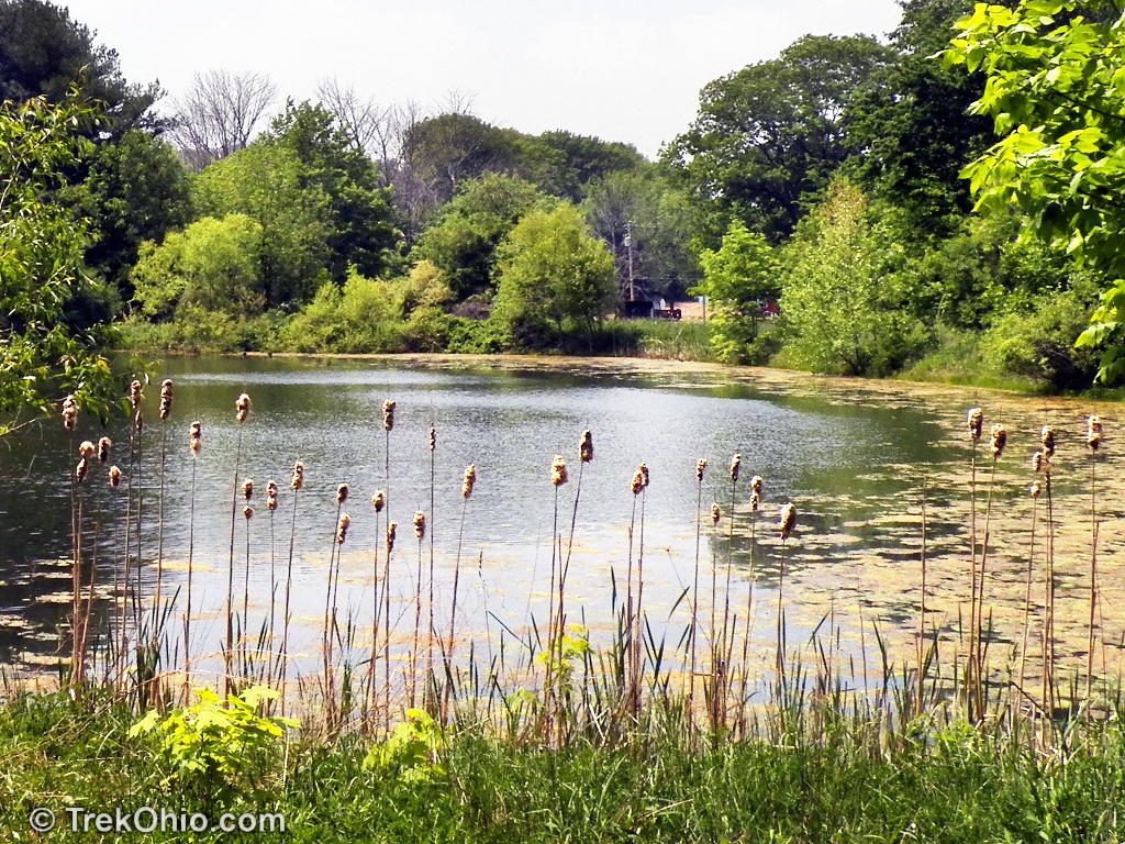
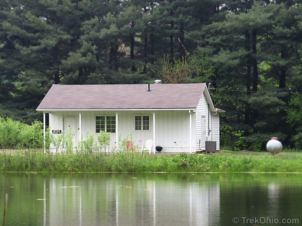
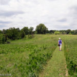
The Old Field Trail is a mown path that starts near the parking lot and soon leads around a small pond. There is a small office near the pond with no trail leading to it. I don’t believe the office is open to the public.
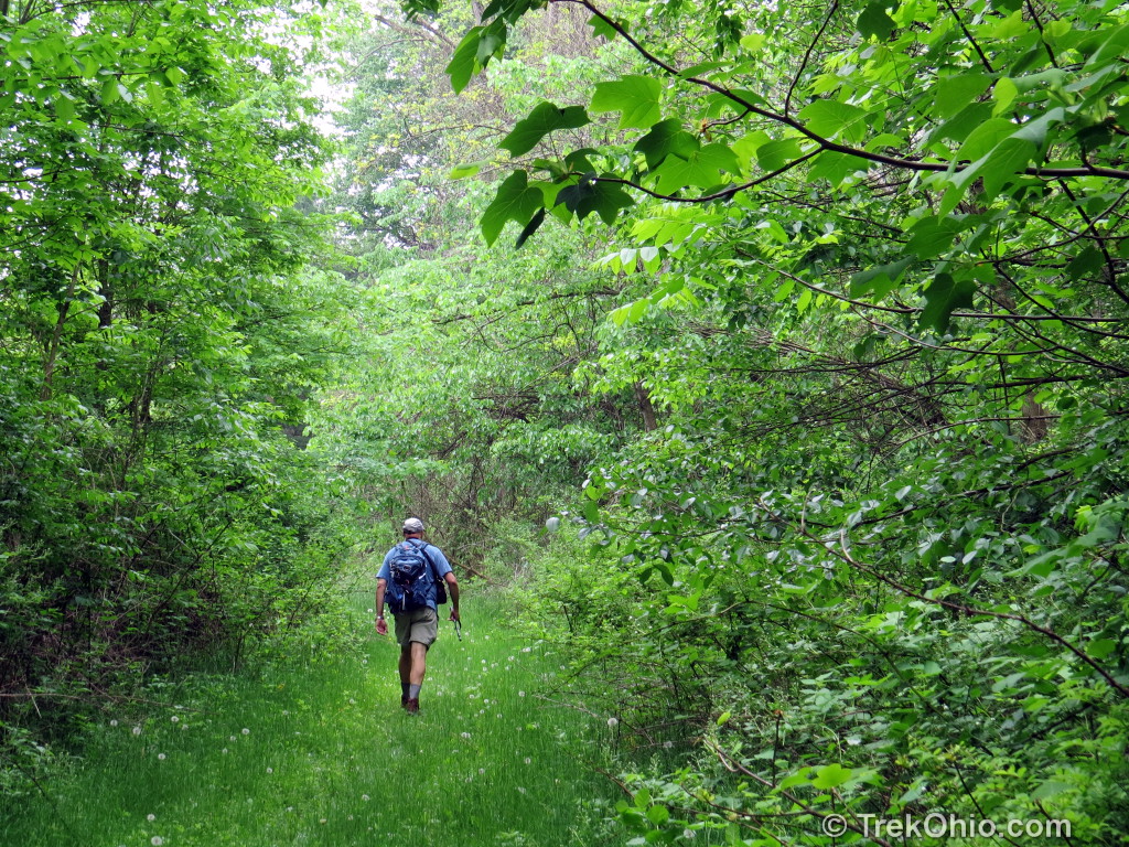
After rounding the pond the Old Field Trail splits in two. We followed the northern branch that borders the woods.

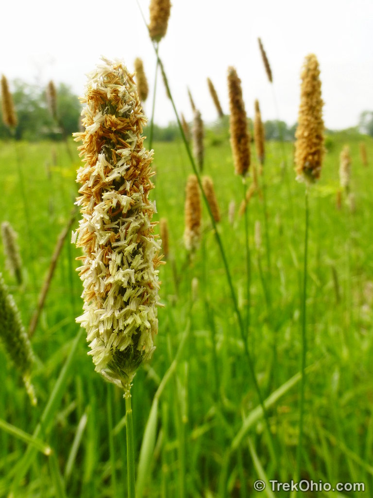
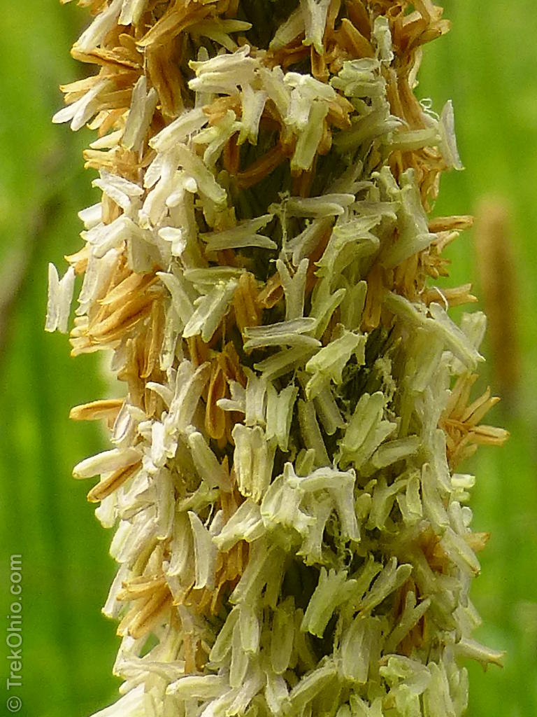
Because we were there in May some of the field grasses were in bloom.
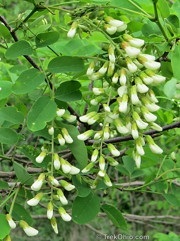
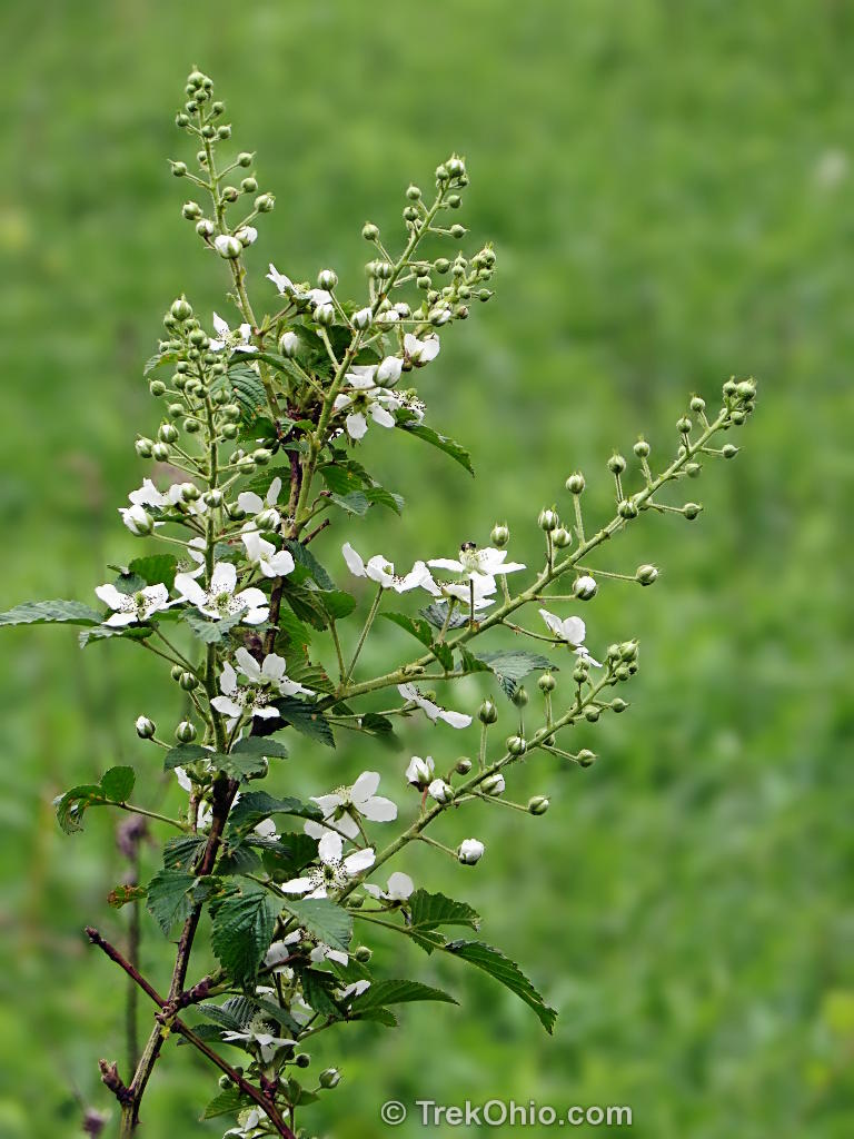
A thorny shrub that pops up in many Ohio fields is black raspberry. This was also in bloom at Augusta-Anne Olsen.

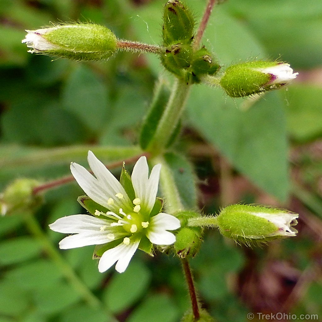
I also noticed some chickweed growing near the field.
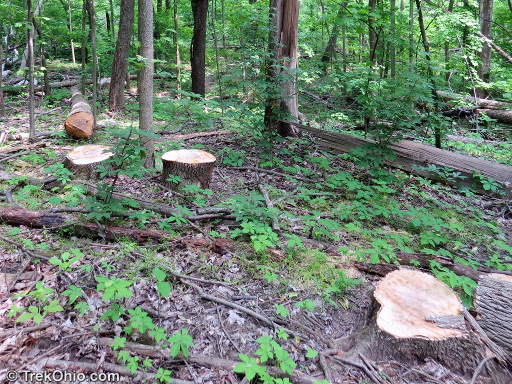
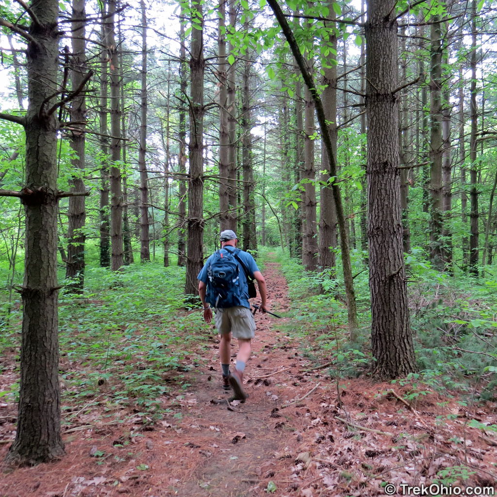
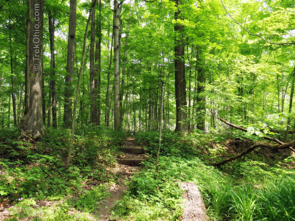
We took the first trail that led into the woods which took us on a short loop. We went through an area where a lot of trees had been cut down, possibly to combat Emerald Ash Borer. As the small loop turned and began to lead us back toward the field, we passed through a pine plantation.
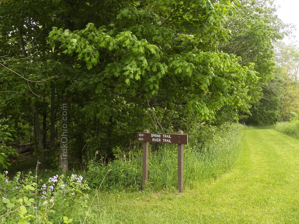
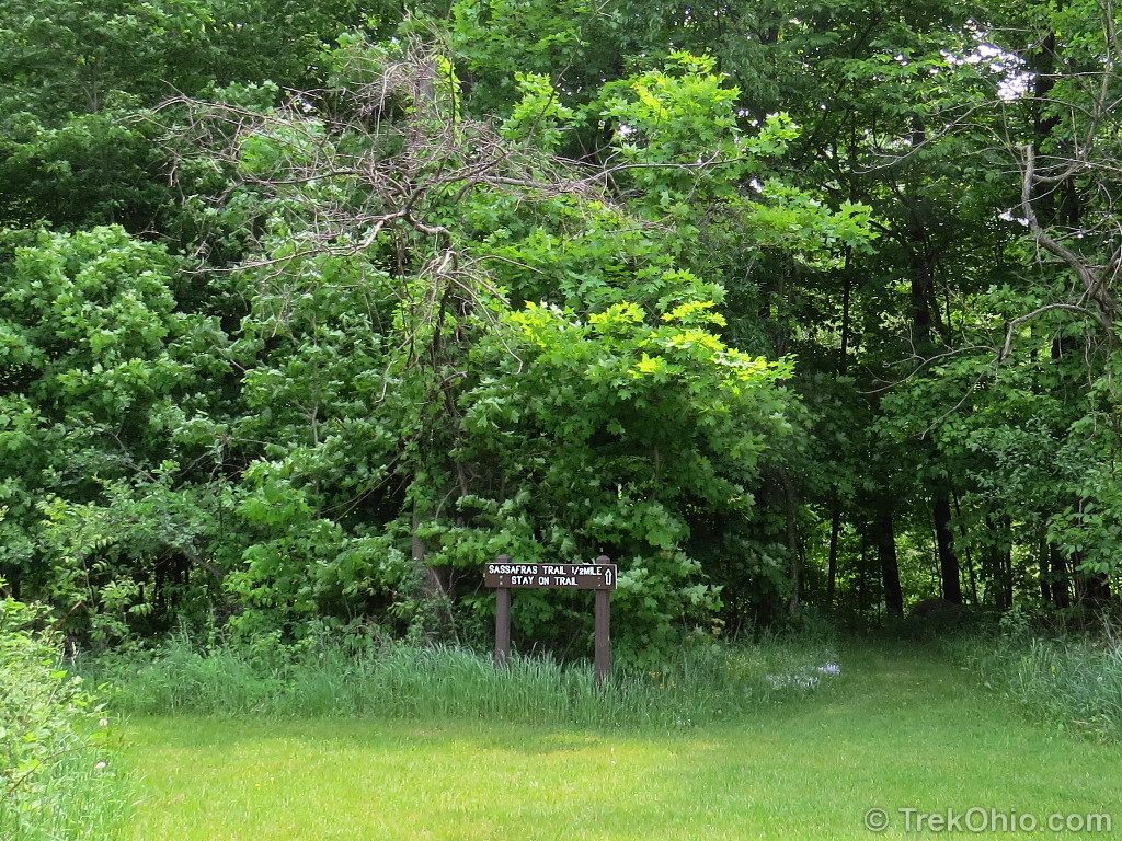
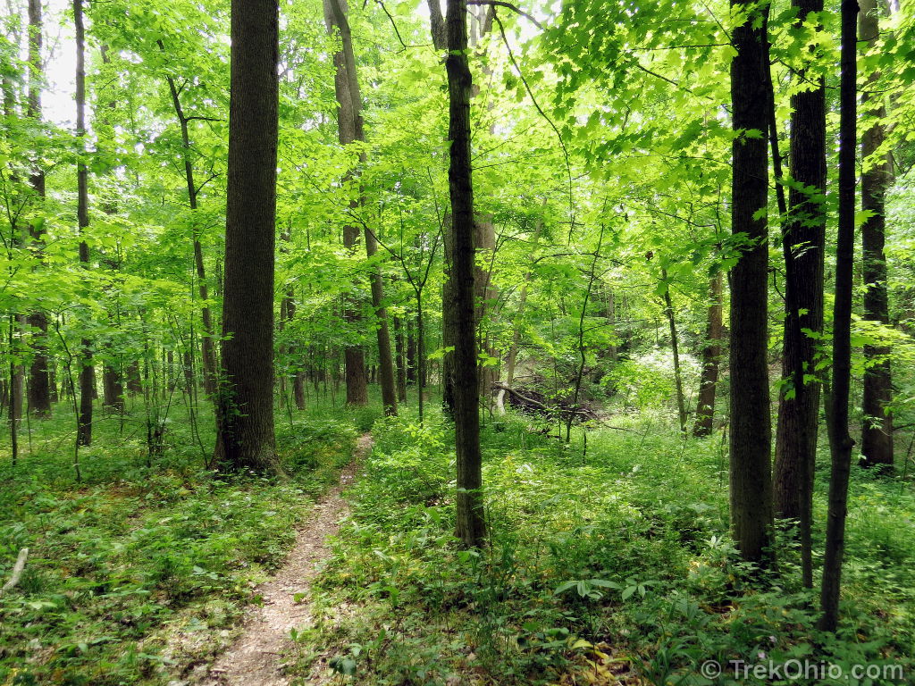
Once this short loop terminated at the field again, we took the Old Field Trail to its most eastward point. Here we had the option of choosing between two trailheads that lead back into the woods: the Sassafras Trail to the right or the River Trail to the left. We chose the River Trail.
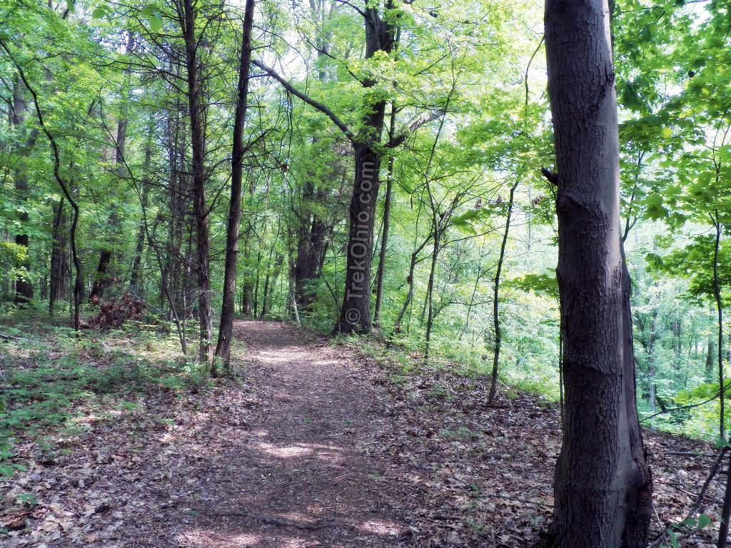
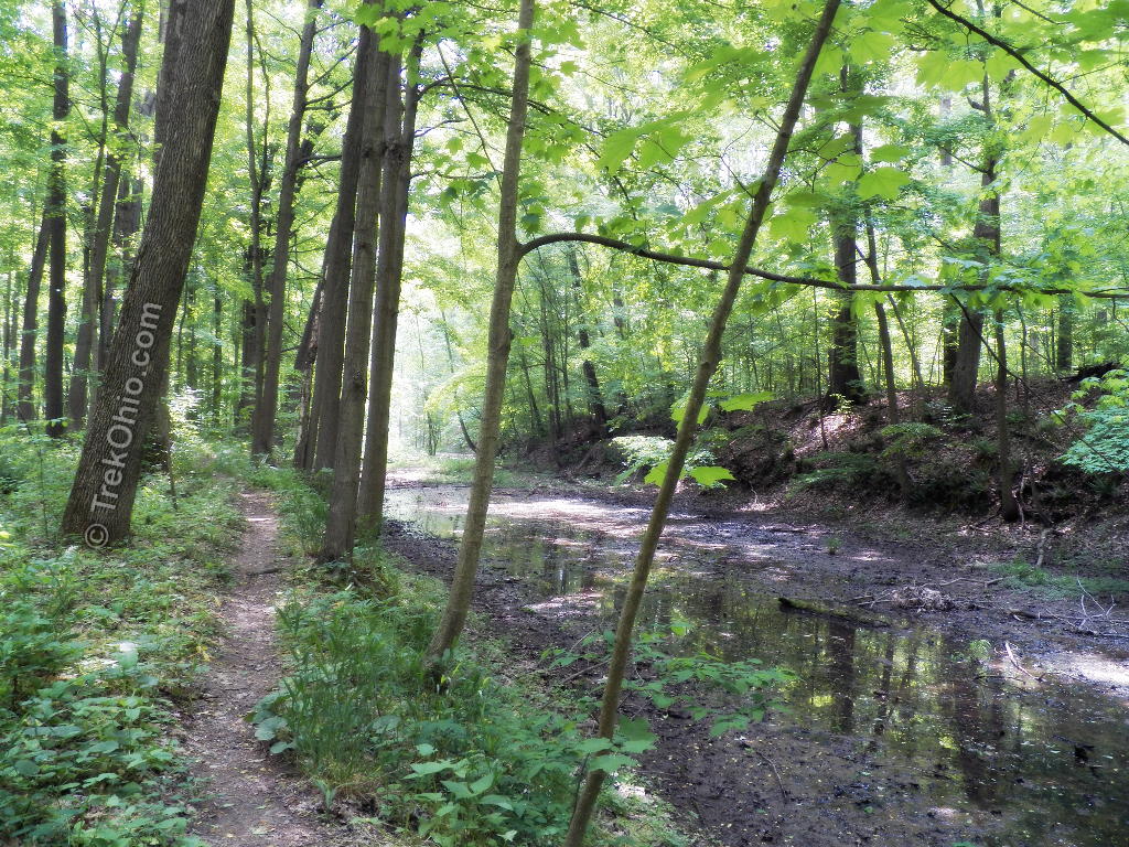
The River Trail soon took us to a bluff overlooking the river.
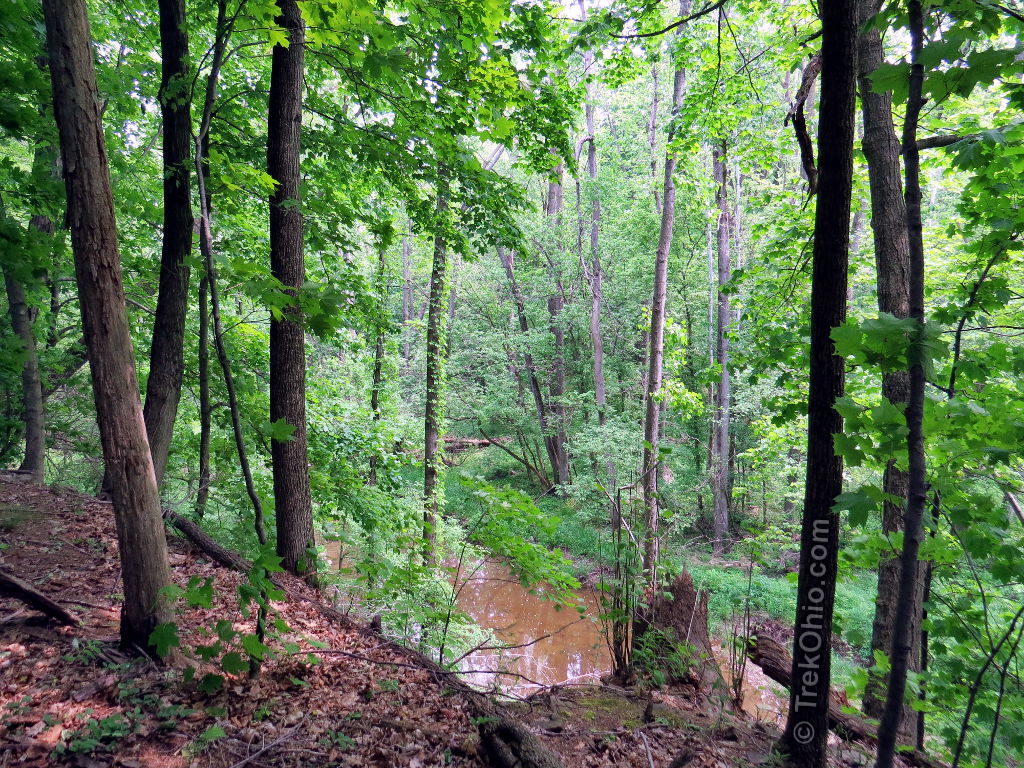
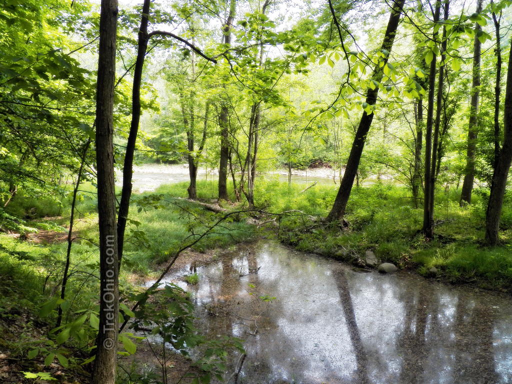
Eventually we descended down to the level of the flood plain around the Vermilion River.
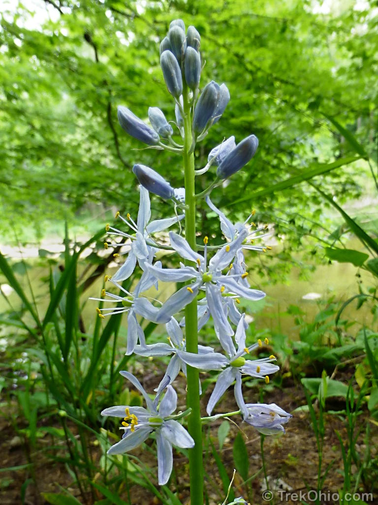
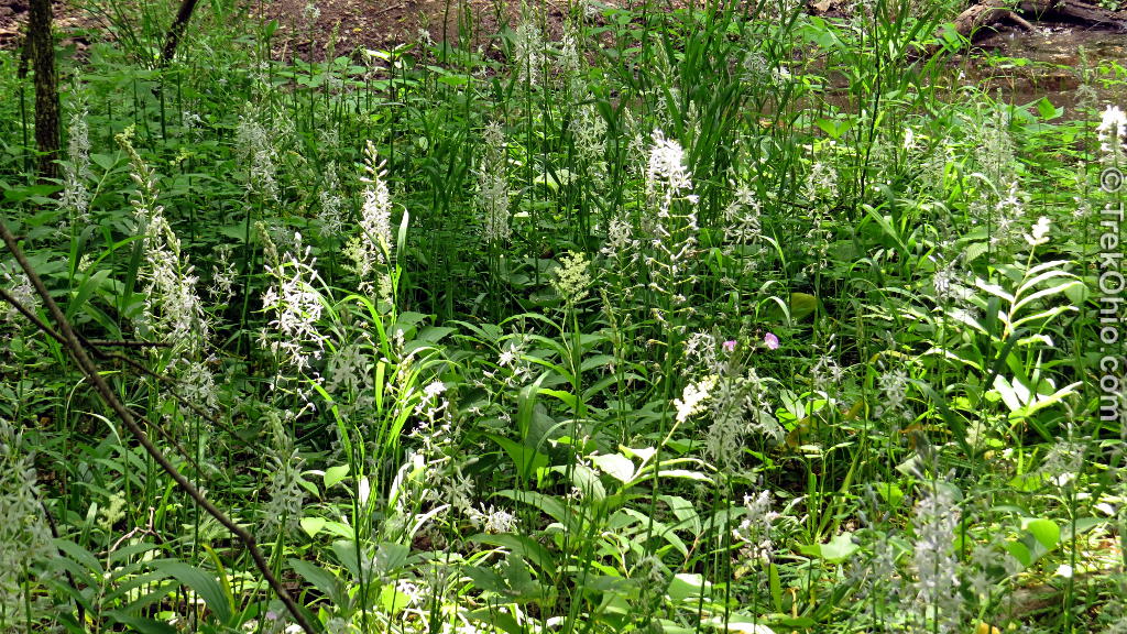
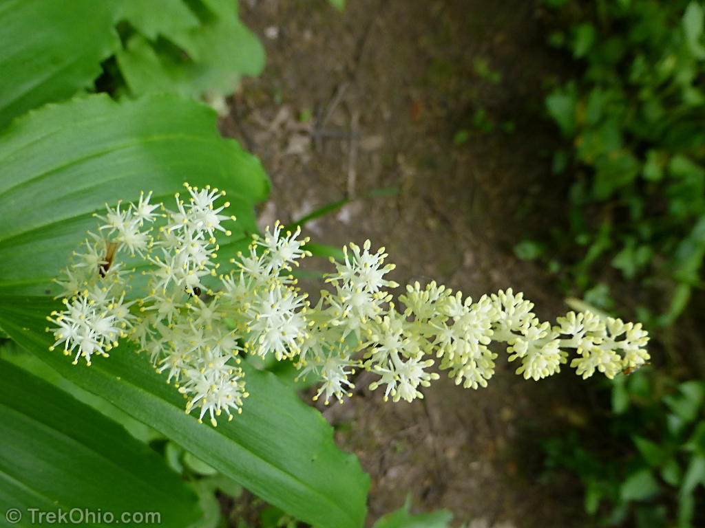
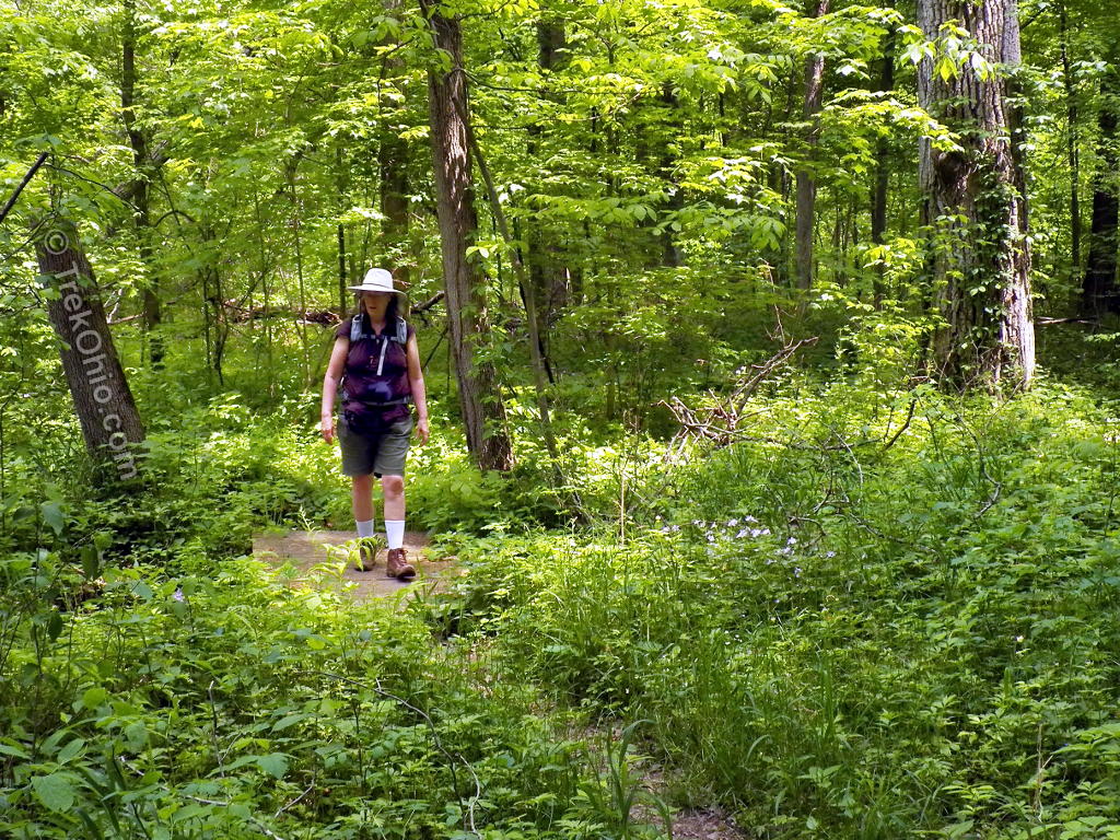
The photos of the flowers below were photographed on the flood plain along the River Trail and the River Loop Trail. One of my favorite flowers was the Wild Hyacinth (Camassia scilloides) like the one shown in the topmost photo of this post and the one below. Although I’ve seen this wildflower before, I had never seen so much of it at once.

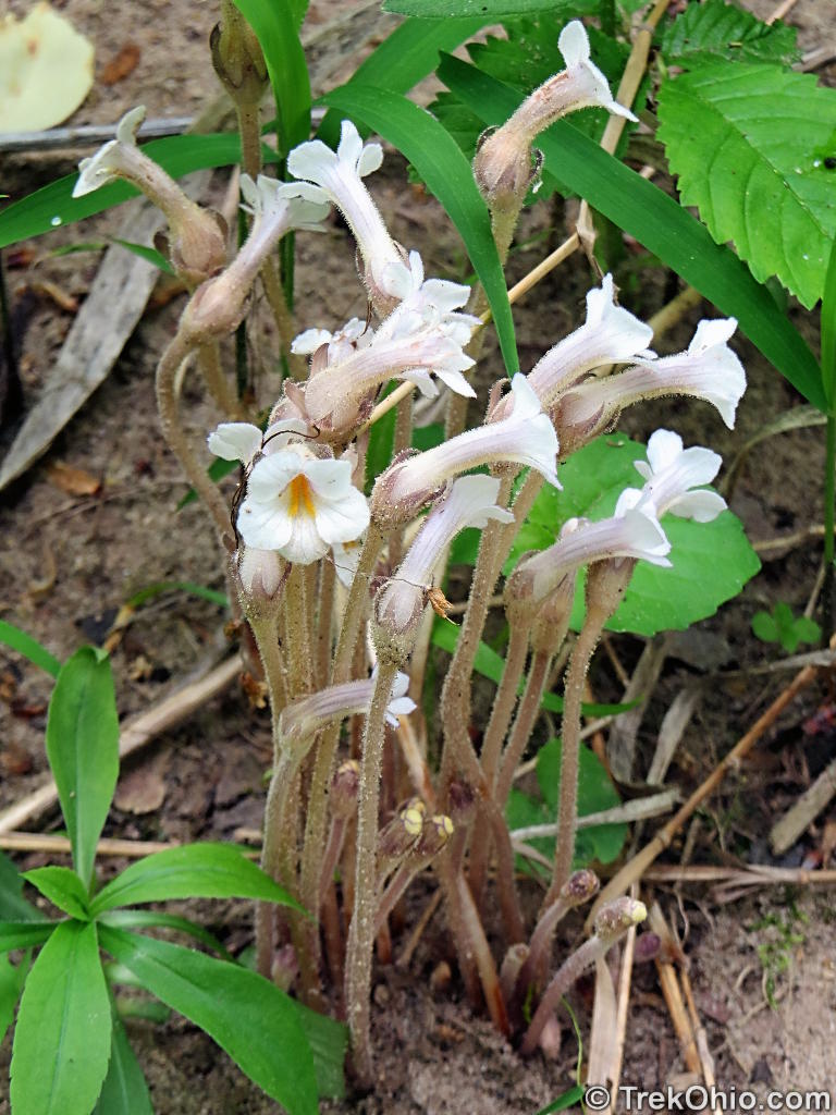
Another treat for me was encountering a flower that I had heard of, but had never seen before: Oneflowered Broomrape (Orobanche uniflora). This strange little flower emerges out of the grown with no greenery whatsoever, so it is incapable of photosynthesizing. It is a parasitic plant that has to draw its nourishment from nearby plants. I thought it was so interesting that I wrote a post about it earlier here.
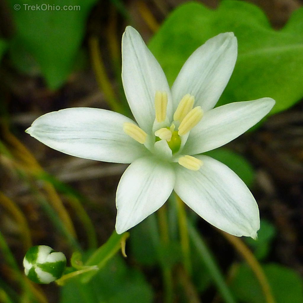
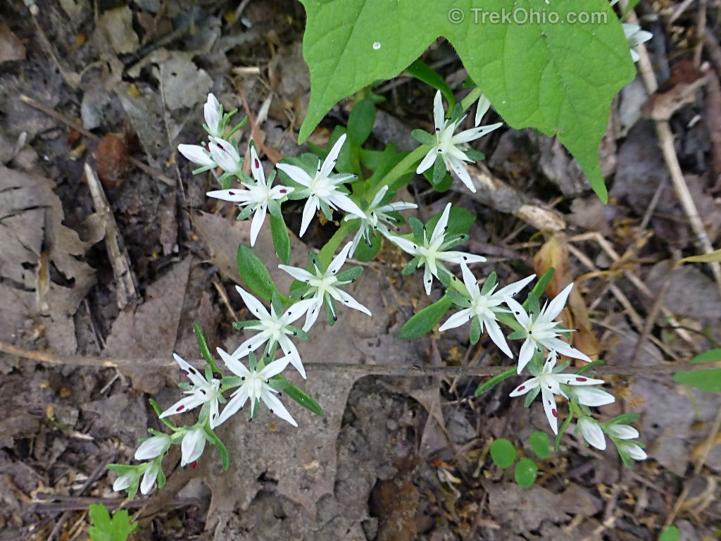
The following flower is a cultivated species that has escaped into the wild. It is Star-of-Bethlehem.
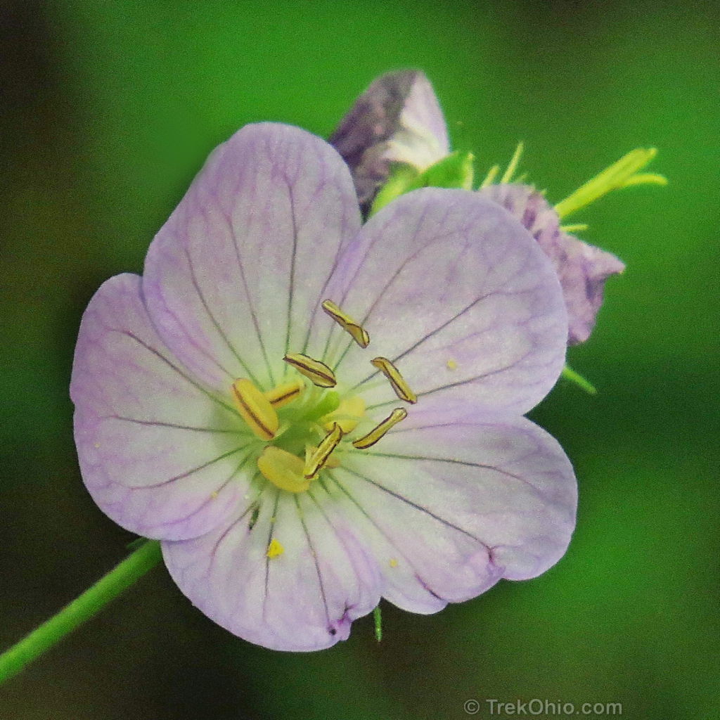
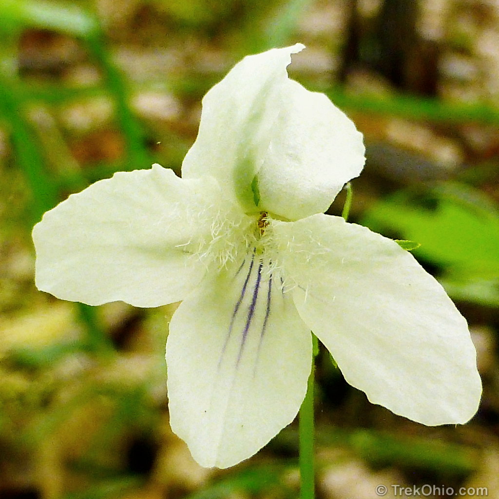
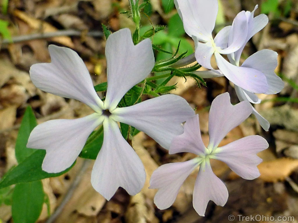
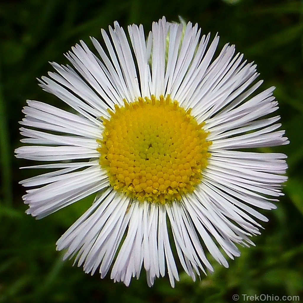
The following wildflowers are relatively common.
I did see some Drooping trillium and Sessile Trillium, but these flowers were past their prime by May 20th, so if you’d like to see trillium you should probably visit in April.
At some point on the flood plain, we came to the River Loop Trail, and we followed it.


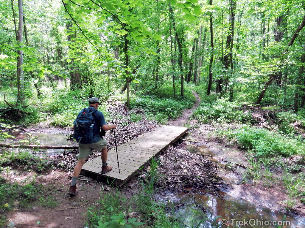
Once we got back to the field, we returned to the parking area via the same northern branch of the Old Field Trail that we had followed on the way out.
What we missed
According to the official site, American chestnut trees grow near the River Trail and the River Loop Trail. I wasn’t looking for these, and I didn’t see them. The official site didn’t say whether these trees were blight-free, but that would be an impressive sight if they were. Almost all of the continent’s American chestnut trees were wiped out when a fungal blight was introduced to North America in 1904. In addition to missing the American chestnut, we also missed seeing one of the largest Sassafras trees in the state when we skipped the Sassafras Trail.
Additional information
- TrekOhio: Huron County Parks & Nature Preserves; this is the county where the Augusta-Anne Olsen State Nature Preserve is located. Check out this page for links to the official site and for information on nearby parks and preserves.
Location
The Augusta-Anne Olsen State Nature Preserve is about one mile north of Wakeman, Ohio on West River Road (GPS Coordinates: N41.272791, W82.408279). You can see the location of the preserve and a trace of our hike on the Google Map below. If you click on the link to “View Larger Map”, you can get directions form Google by right clicking on the preserve entrance and selecting “Directions to here.”
More on State Nature Preserves
 Chaparral Prairie State Nature Preserve
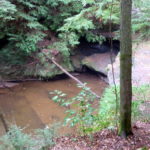 Boord State Nature Preserve
 Tinkers Creek State Nature Preserve
 Saltpetre Cave State Nature Preserve
Again stunning high quality post full with gorgeous photos. I enjoyed hiking there thru Your photos. Thank You.
Love seeing the spring flowers on this super cold morning…
It’s white and snowy here, so seeing a little dash of color helped lift my spirits, too. 🙂
I like the photo where the trail splits and the wild flowers , especially the wild geranium and violet. You both look like you are in your element “in the woods.”
Thanks, Jane. We loving being in the woods. 🙂 Speaking for myself, it’s a bit harder getting motivated to get out in the winter, but even then I typically enjoy it once I get there.