We really enjoy hiking at Fort Hill, but until recently we’ve never hiked the Canby’s Mountain Lover Trail. To access this trail, you have to wade across Baker Fork Creek. We thought that if we went toward the end of October the water might be low enough to wade across while wearing waterproof hiking boots, but we were wrong. The creek is too high for hiking boots. It’s also too cold at this time of year to just wade in and get your feet wet. We ended up returning on November 7th, each of us packing in a pair of Wellington boots, so we could cross the creek while keeping our feet dry. It was well worth the extra effort since the Canby’s Mountain Lover Trail passes right through the impressive Keyhole Arch.
I have included a snippet from the official trail map below, with our hike outlined in yellow. At the bottom of this post I’ve also embedded a GPS trace of our hike if you’d like to look at that. From the parking lot (top, right), we traveled clockwise. Shortly after leaving the parking lot we got onto the Deer Trail and followed that southward. At its southernmost point we switched over to the Gorge Trail. We followed that around the bottom of the loop and headed northward until we came to the juncture with Canby’s Mt Lover Trail.
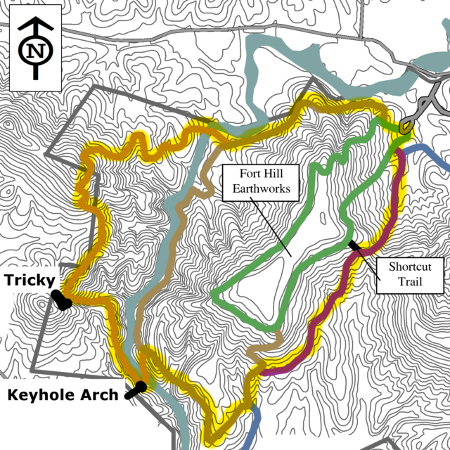
In the map above the spot marked, “Tricky,” is an area where we had some difficulty making out the trail. It is important to note that the trail does not ascend to the nearby hilltop. Instead you are looking for a ledge farther down on the hillside. If I remember correctly going clockwise, this ledge will lead into a pawpaw grove. Also if you look behind as you hike, I found that there was a prominent, teardrop medallion pointing the direction for those going the other ways. Sometimes you can use such markers to figure out which way you should be going even if you are tackling the trail from the other direction.
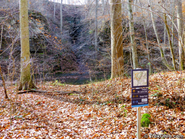
At this point I’d like to turn our attention to the start of the Canby Mt Lover Trail, which for us was near the Keyhole Arch. In the above photo you can see a sign that points the direction for this trail. In addition you can see a dark, vertical area beyond the creek that is the arch. If you were looking in summer, leaves would probably conceal the arch altogether. Canby’s Mt Lover Trail crosses the creek here and goes straight through the arch. It was here where Bob and I changed out of our hiking boots and into our wellies (rubber boots).
Bob’s wellies were considerably taller and heavier than mine. His topped out at around 15 inches, while mine were 10.5 inches tall. Although Bob normally wears a daypack during our hike, he had to switch to a backpack to carry his wellies. Mine were small enough to stick into a daypack. Besides carrying the wellies, I also carried dry clothes in a waterproof bag in case I totally screwed up (thankfully that didn’t happen). While crossing the creek we stuck our hiking boots into our packs. Bob went first since we didn’t know how high the water was, and he had the tallest boots. We tried walking in areas where leaves were accumulating on top of the water with the idea being that there were rocks or limbs close enough to the water’s surface to catch them.
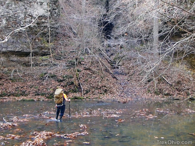
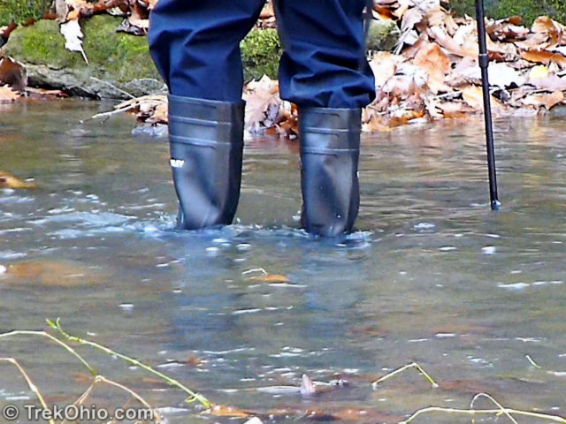
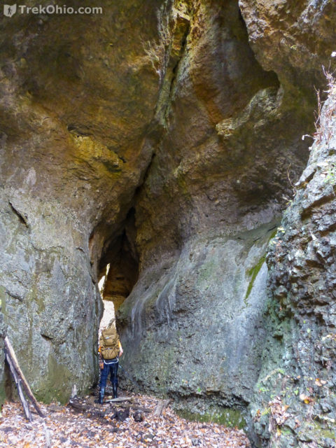
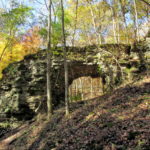
At the deepest point the water came about two inches below the top of my 10.5 inch boots, at which point I backed up and readjusted my path looking for shallower water. Both of us were able to cross while keeping our feet dry. Once we reached the other shore, it was a steep, slippery climb to the arch. The leaf litter on the trail ascending to the arch obscures a very shallow stream that runs through the arch and drain into Baker Fork Creek.
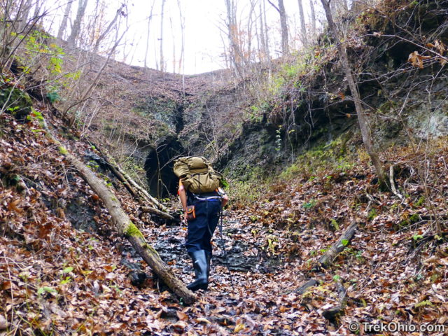
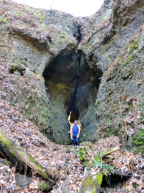
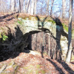
A portion of the arch is quite narrow.
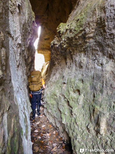
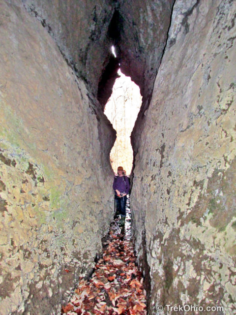
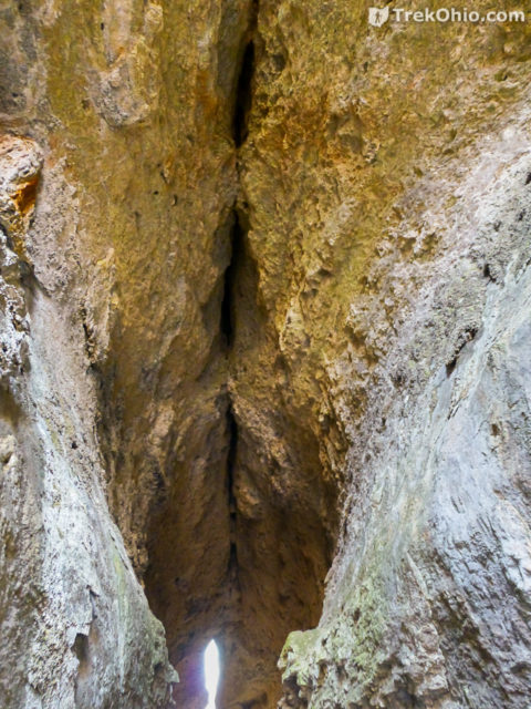
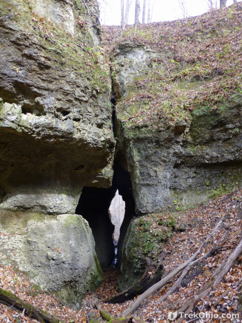
You might be wondering what it was like on the other side.
Well, maybe not that lost. ![]() But we didn’t have any idea which way we were supposed to go. To our surprise there were no signs, or blazes, or anything. Instead we just found ourselves standing in a log-strewn gulch.
But we didn’t have any idea which way we were supposed to go. To our surprise there were no signs, or blazes, or anything. Instead we just found ourselves standing in a log-strewn gulch.
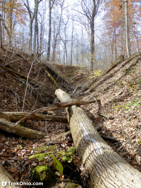
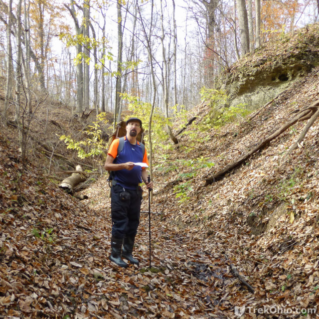
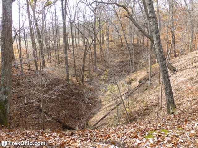
We scampered up the gully wall to scout out the trail. But before we did we took one last look back at the Keyhole Arch.
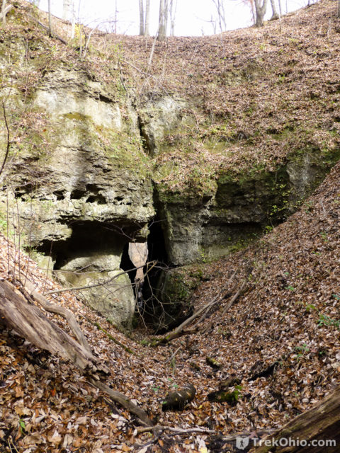
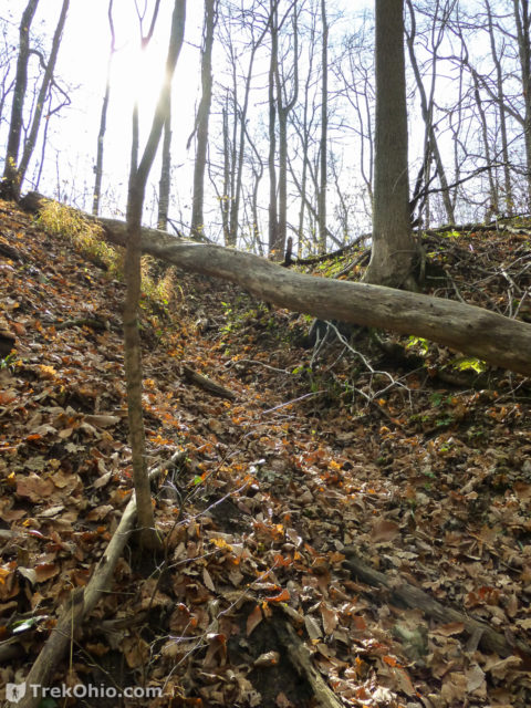
As soon as we got out of the gulch, it was clear that the path wasn’t on the far side of the gulch. We could easily see that a farm field through the trees there. So we walked around the gulch to ridgeline and continued our hike by walking over the arch on the ridgeline. There were both blazes and medallions to reassure us that we had found the trail.
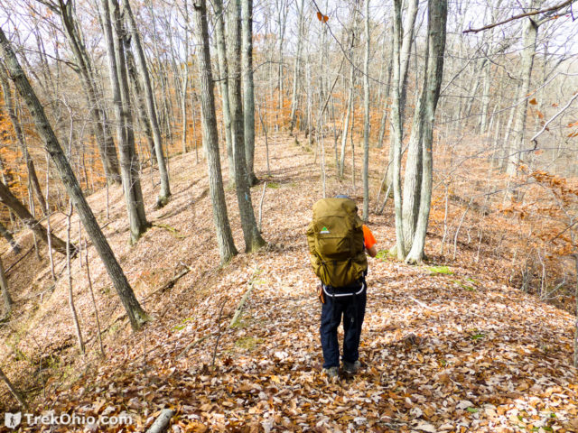
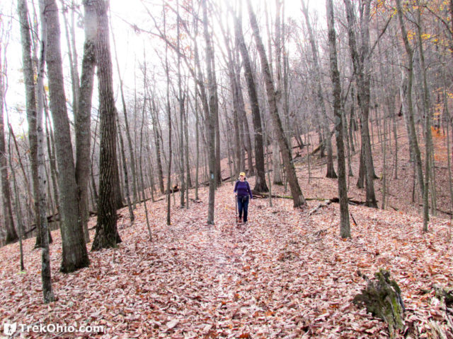
Due to the recently fallen leaves, there was no sign of the trail beneath our feet. We couldn’t see a dirt path, or even a depression where the trail went. But for the most part the trail was well-marked. There were two kinds of medallions: small circular one, and large teardrop-shaped ones. The teardrop medallions used the point of the tear to show which way to go. Disconcertingly the teardrop medallions were labeled “Deer Trail” instead of the trail that we were on, “Canby’s Mt Lover Trail.” Still we appreciated the way that they pointed the direction. Below are some photos of the medallions.
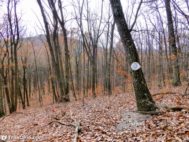
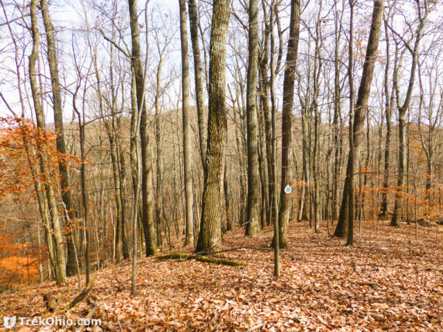
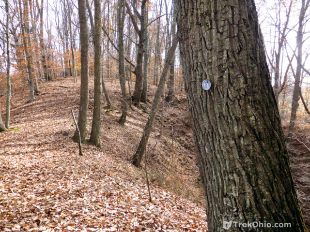
The trail was also marked by blue blazes, and once in a rare while, there were vinyl ribbons that were orange to pink depending on how faded they were.
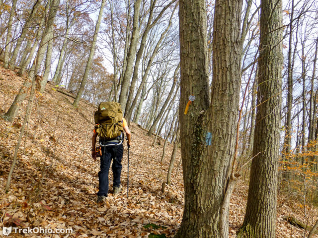
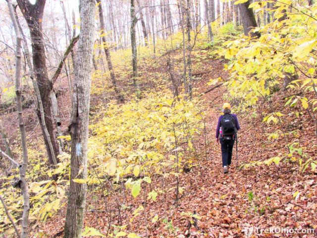
Another way to make out the trail is to look for sawed logs. This worked even when there were no other trail markings in sight.
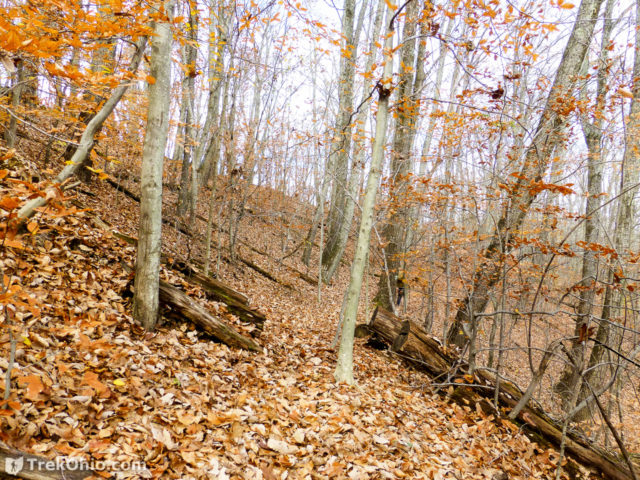
When more than one trail merge together, it is typical to see multiple blazes on a tree. These blazes will all be different colors to signify the different trails. However when you see two blazes that are the same color, this is a “double blaze.” It is a sort of “heads up” announcement, typically used to alert you that the trail is changing directions. These were very helpful. On Canby’s Mt Lover Trail, they appeared at sharp turns and the corners of switchback trails.
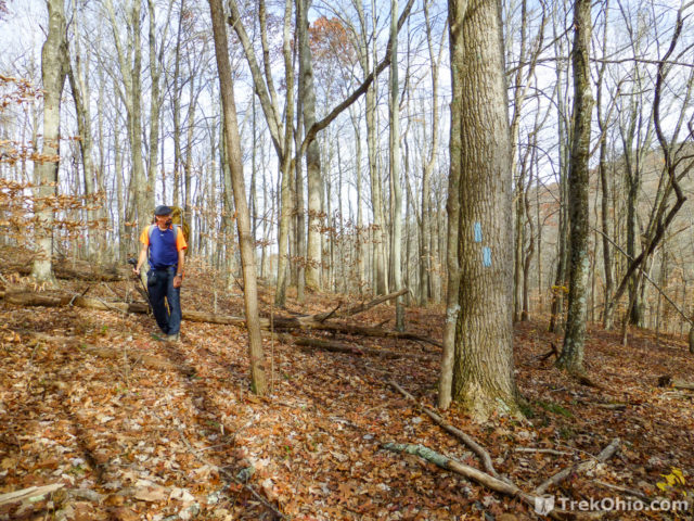
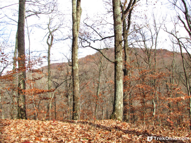
Because of the creek crossing required to get on this trail, I had assumed that Canby’s Mt Lover Trail would not get nearly as much traffic as other trails at Fort Hill, and consequently, might be overgrown. However, for the most part the trail (and the entire forest floor) were clear to foot traffic. Although I love viewing fall foliage, one of the advantages of hiking the hills after the foliage has dropped is that you can see the surrounding hillsides without them being concealed by leaves.
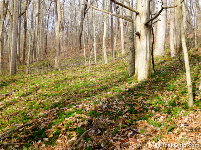
We ran into one stretch in which evergreen, ground cedar carpeted the forest floor. Ground cedar a really interesting, spore-bearing plant. I’ve written previously about its combustible spores and how you can kick up clouds of spores by walking through them during the right time of year.
As we drew near the end of Canby’s Mt Lover Trail, we reached our second creek crossing. This was actually a harder crossing to make than the first one near the arch. Instead of the trail approaching the edge of the water, there is a creek bank that drops to the water level. We ended up sitting on the edge of this bank and then dropping a 1.5 to 2 feet to the edge of water. After we did this we moved to an area where we saw leaves collecting in the water, once again assuming that the water must be shallower there. However, during this crossing I came much closer to having the water top my 10.5 inch-tall boots. I still managed not to flood them, though.
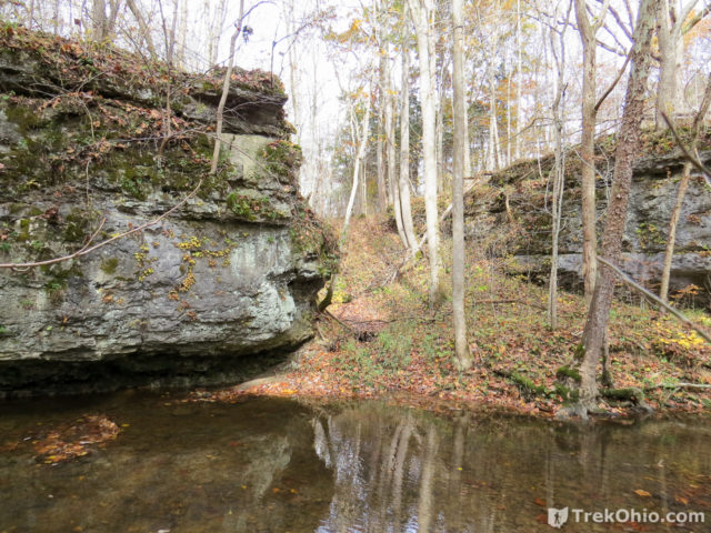
Once we crossed Baker Fork Creek, we looked back at the area where we crossed. You can see the creek bank below. We crossed near the edge of the large outcropping.
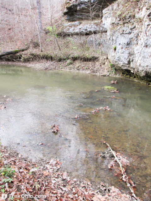
An alternative route that I had considered was crossing over the creek using these logs. However, being tired and wearing rubber boots, I wasn’t sure if I would be sufficiently nimble to balance my way across.
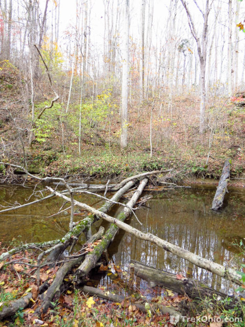
After crossing and continuing on the Canby Mt Lover Trail toward the Gorge Trail, I also saw a potential crossing near these large outcroppings. One advantage is that there is no drop from the creek bank. But crossing here would require you to go a ways off trail, plus not having done this crossing, I don’t know how deep it is.
We then joined up with the Gorge Trail. Rather than head directly back, we did a bit of extra hiking to make it to the log cabin. Inside the cabin there are benches, so it was a nice place to sit while we changed back into our hiking boots.
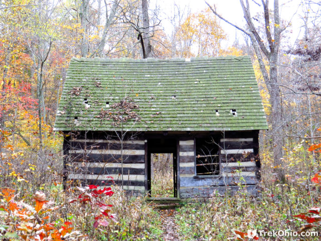
Although the Gorge trail goes through this cabin, for us the shortest way back was to follow the Gorge Trail in the other direction, so off we went.
According to Google’s My Tracks app, the entire hike was about 5.5 miles with an elevation gain of 1,666 feet. We were glad that we finally hiked Canby’s Mt Lover Trail. The trail as a whole made for a fun hike, and we both really enjoyed getting to walk through the Keyhole Arch.
Additional information
- TrekOhio: Fort Hill — our initial review of this park; it includes a Google map indicating its location.
- TrekOhio: Highland County Parks & Nature Preserves — This is the county where Fort Hill is located; click here for its official links and for information on nearby parks.
- Wikipedia: Wellington boot — also known as “wellies”; these are what we wore to cross Baker Fork Creek.
- Amazon: Bob’s Wellington Boots
- TrekOhio: Ground Cedar and Its Combustible Spores
- Wikipedia: Paxistima canbyi —
 It turns out the “Canby’s Mt Lover” is the name of a tiny, evergreen shrub.
 - About the photo of the dinosaurs used above: it’s Dinosaur World in Kentucky. The photo was published by Peter Rivera at Flickr under a Creative Commons License.
Location
If you’d like, you can explore this map directly on Google Maps. We traveled this circle in a clockwise direction. The brownish-yellow trace to the far left is Canby’s Mt Lover Trail. The lavendar marker toward the bottom left is where the Keyhole Arch is. The blue marker was a tricky area where it was a bit challenging seeing where the trail is. You are approaching a tall hill, but you want to stop short of climbing to its top. Instead there is a sort of ledge part way down the hill that you want to follow toward a grove of pawpaws. The green marker is where the log cabin is on the trail.
More on Natural Arches
Very, very nice! I’ll have to try this.
Well Bob, you’ll probably get cold feet. 🙂 But at least you won’t have to carry 5 lbs of Wellies. If you go I highly recommend a stop at nearby Country Crust (Amish) Bakery.
Sounds like a beautiful walk; I may prefer waiting until warmer weather so I can pack Tevas instead of Wellies!
Late summer will have lower (and much warmer) water.