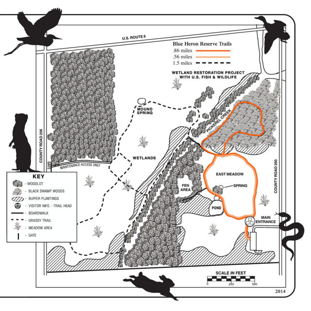
Blue Heron Reserve is a 160-acre park in the Sandusky County Park District. It has 2.9 miles of trail including a handicap-accessible boardwalk that makes up 5000 feet of the trail system. Within the park is a fen; this is a type of wetlands in which underground water bubbles up through calciferous rock until it reaches the surface. The wooded area of the park has a habitat reminiscent of the Great Black Swamp. The area also includes a pond and meadows. The many different kinds of habitats in the park promote wildlife diversity, and the Ohio Department of Natural Resources (ODNR) has included the park among those in the Lake Erie area that are great birding sites. In addition to hiking and birding, visitors may forage for wild mushrooms. Cross country skiing is permitted in the winter when conditions are cooperative.
Since this is a small county park, you might not be aware of its location. It is a relatively short distance from Lake Erie as pictured below.
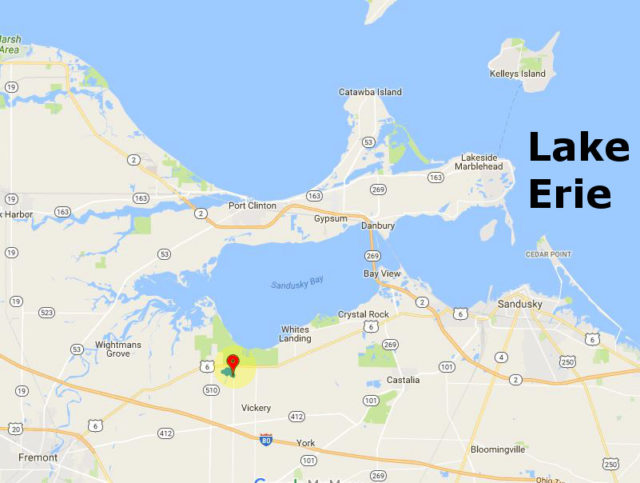
Note that the green area above the location marker is the larger, Pickerel Creek Wildlife Area.
I have excerpted a trail map for the park from the park’s brochure.
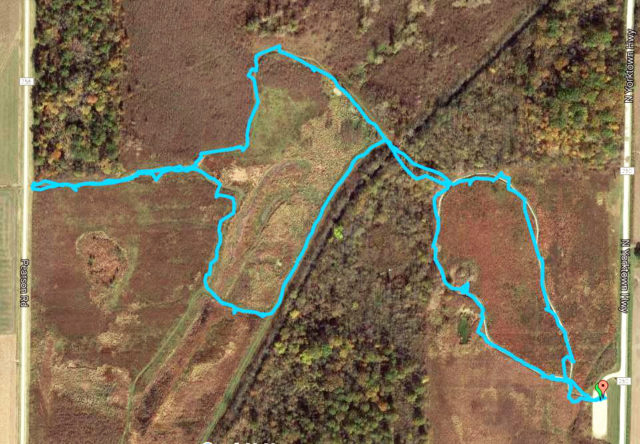
During our visit in September we followed the trail system through the meadows and skipped the wooded area. Below is a GPS trace of our hike (which you can also view on Google Maps). We followed a counter-clockwise path over both of the loops shows below.
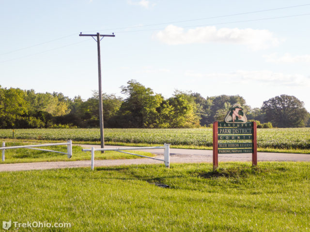
The entrance to the park is pictured below.
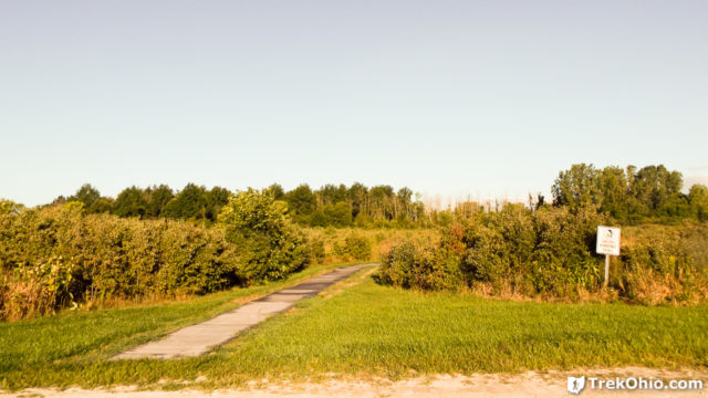
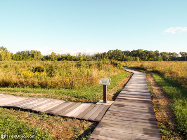
You can access the boardwalk directly from the parking lot. For those accessing the boardwalk via wheelchairs, note that some portions of the boardwalk have border bumpers while others don’t.
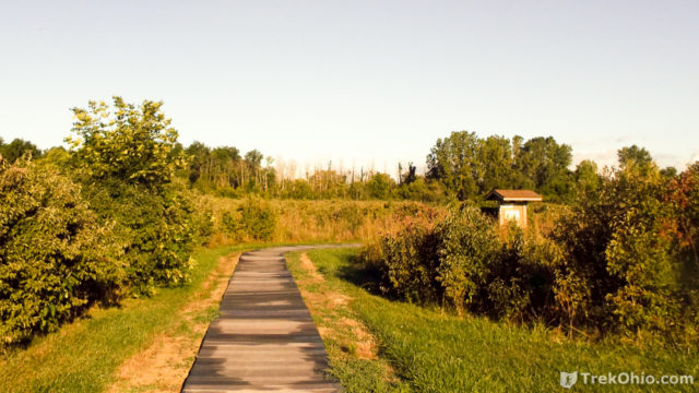
The park’s kiosk is a short distance down the boardwalk.
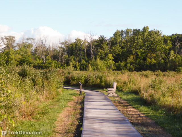
Benches and informative signs about the habitat were periodically located around the boardwalk.
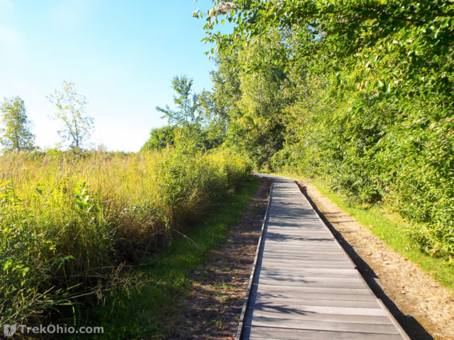
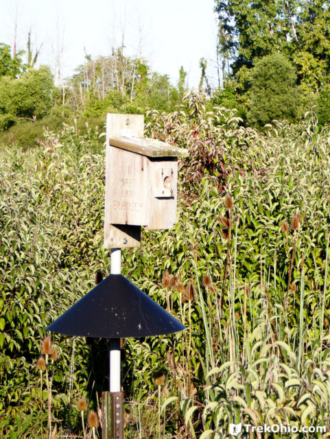
We also saw a number of nesting boxes, and many hard-to-photograph, small birds flitting about.
We followed the boardwalk to a bridge that crosses Pickerel Creek. As soon as we passed over the bridge, we came to the end of the boardwalk and the beginning of a mown path through the meadows.
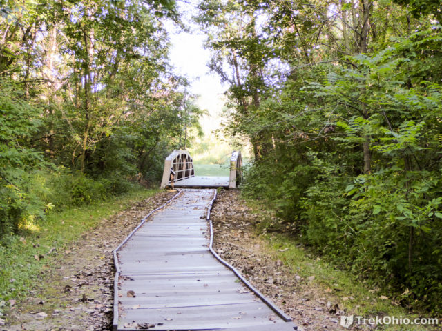
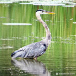
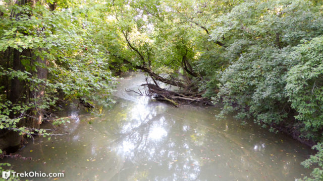
I think we would have felt a bit cheated to visit Blue Heron Reserve without catching sight of a Blue Heron. While crossing the bridge we did see one perched on a log in the creek pictured below, but the startled bird flew off before we could snap a photo.
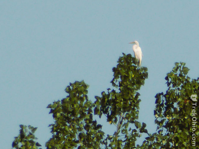
We did see an egret later perched on a tree top.
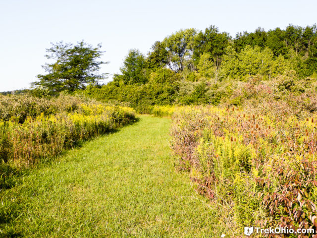
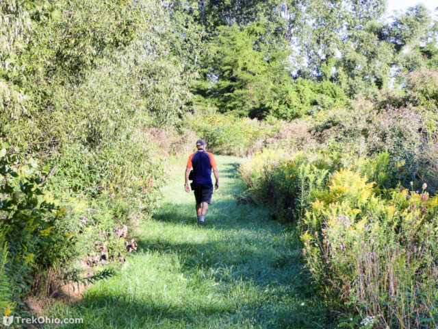
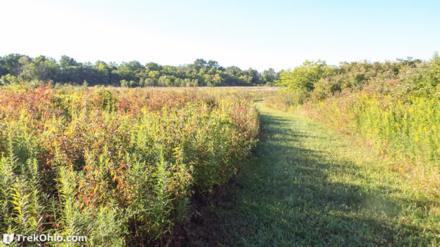
I was foolishly wearing canvass shoes which worked out great on the boardwalk, but which soaked through once we hit the mown path which was laden with morning dew. Here are some photos showing what the mown path was like.
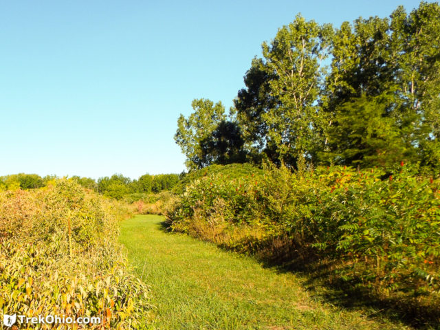
At some point we headed down a mown path leading toward County Road 256. When I look at the official map I see that this is designated a Maintenance Access Road, but we didn’t see any signs stating that, and it seemed like just another hiking trail.
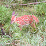
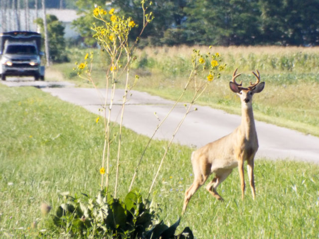
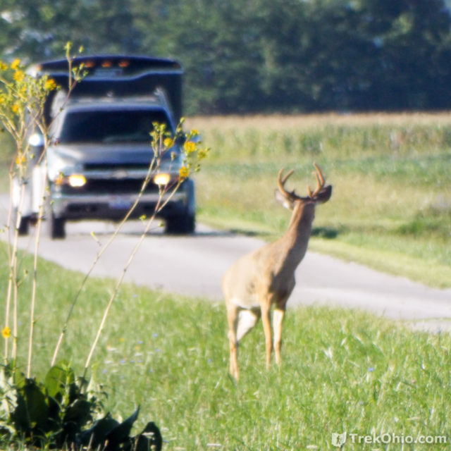
Once we came out to the road, we caught sight of a nice looking buck. This was a treat for us because we typically just see does and bucks without antlers. There was a truck that was moving slowly and cautiously up the road behind the deer which it didn’t notice for some time because it was fixated on us.
But finally it turned around. It ran back into the park instead of in front of the slow-moving truck.
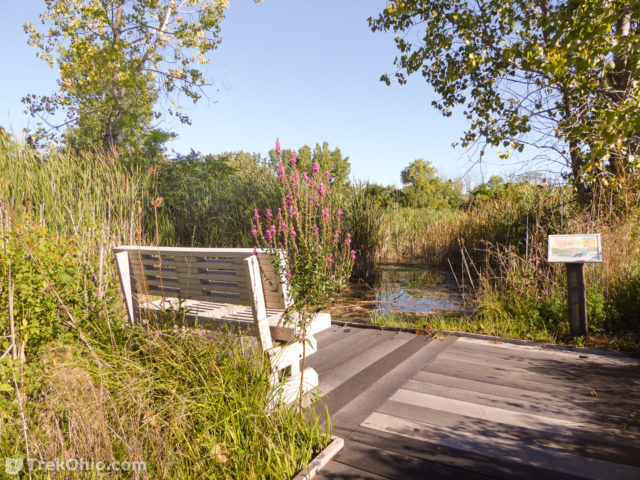
Eventually we crossed the creek again and returned to the boardwalk which lead us to the pond and bench pictured at the top of this article. While we were on our hike we saw a number of wildflowers.
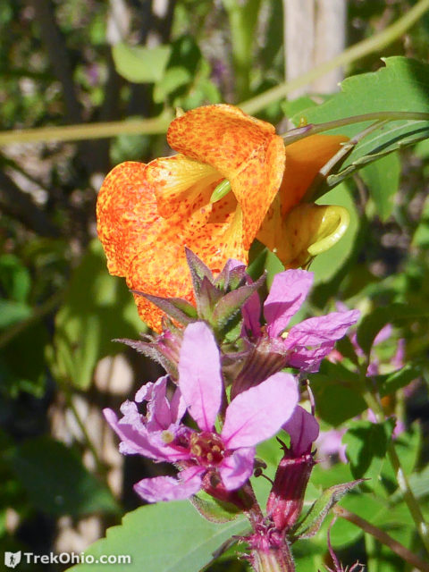
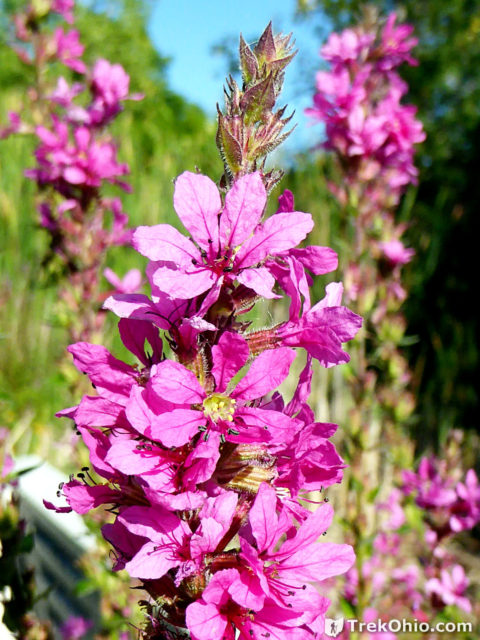
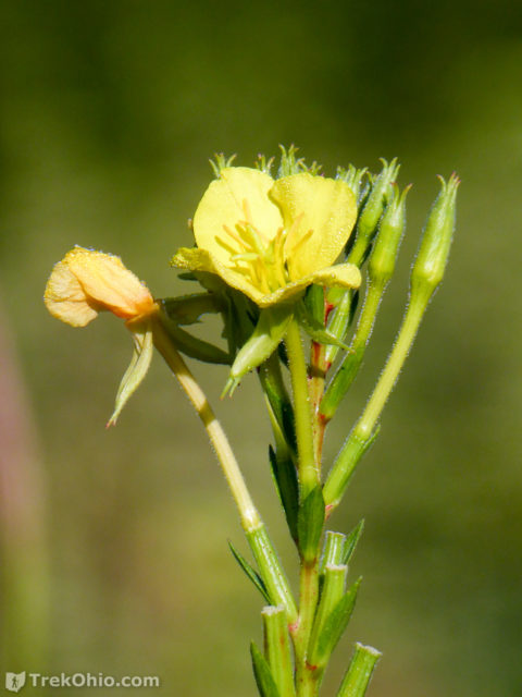
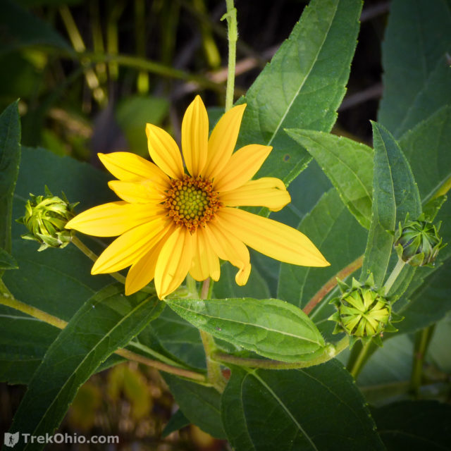
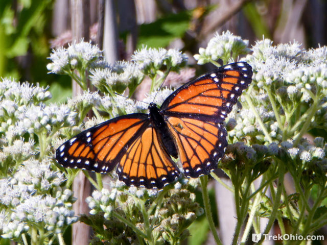
We also saw lots of viceroy butterflies. They look an awful lot like monarch butterflies. One way to distinguish them is that the viceroy butterfly has a back line running across its two, hind wings, while the monarch does not have this line.
Additional information
- TrekOhio: Sandusky County Parks & Nature Preserves — This is the county where Blue Heron Reserve is located; check out this page for links to the official website and for information on nearby parks and preserves.
- ODNR: Lake Erie Birding Trail — Blue Heron Reserve
Location
- Address: 2134 County Road 260 , Vickery, Ohio 43464
- Directions: From the intersection of US-6 and County Road 260 (also known as North Yorktown Hwy), turn south onto County Road 260 and drive 0.43 miles to the preserve’s driveway on your right.
- GPS Coordinates: 41.402516, -82.953733
- Google Maps: View on map or get directions
More on the Lake Erie area
