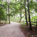
Mentor Marsh State Nature Preserve occupies 646 acres and contains about four miles of trail; it was Ohio’s first state nature preserve. It is located in Lake County at Mentor, Ohio which is about forty miles east of Cleveland. The preserve is just southwest of Headlands Beach State Park.
If you are just interested in exploring the preserve as a hiker or bird watcher, feel free to skip to the section on Getting Oriented.
Hisotry
Mentor Marsh becomes a brackish habitat
Salt mining has had an impact on various parts of the Lake Erie shoreline and on Mentor Marsh in particular. As a byproduct of extracting salt, mining companies also produce a salty, chemical residue that is of no economic value; this residue is called tailings. If I understand things correctly, it was legal for salt miners to dispose of these tailings in the marsh and its tributaries through the 1950s. Over time as the salty component of these tailings dissolved into the water, Mentor Marsh became more and more brackish (brackish water is a mixture of fresh and salt water).
Although the marsh seems to have become gradually saltier, there are a couple of specific events that are worth noting. In an article authored by Bob Downing for the Akron Beacon Journal entitled Watery World, he notes that until a “salt mine spill” occurred in 1963 there were still areas of the marsh that were open, and there were other areas in which cattails were the dominant plant species. Downing regards the 1963 salt mine spill as being a sort of tipping point for the marsh habitat. After this spill an invasive, salt-tolerant plant known as common reed grass (Phragmites australis) became the marsh’s dominant plant. I have been unable to discover any additional information about this specific spill online.
Besides the above-mentioned salt mine spill, I have also learned that the Morton Salt Company entered into a deal with Osborne Concrete and Stone Co. in which Osborne agreed to take possession of some quantity of Morton’s salt tailings. From April through September 1966, the Osborne Concrete and Stone Co. disposed of about 265,000 tons salt tailings on Jerome Osborne’s private property. A tributary of Mentor Marsh, Blackbrook Creek, also ran through Osborne’s property. Years later Osborne made a number of efforts to stop the salt in these tailings from leaching into the groundwater. His efforts included moving Blackbrook Creek to the other side of his property and covering the landfill with lime kiln dust and clay so that the salt in the landfill would stay in the landfill. According to a report issued by the Ohio EPA in 2011, these efforts by Osborne to contain the salt were unsuccessful. I have been unable to find out what the current status of this landfill is.
Mentor Marsh becomes a preserve
In 1960 Harold Zimmerman became aware of the Carrol Hill Plan to dredge the marsh and to create docks, picnic areas and playgrounds in its place. Harold Zimmerman was hoping that the marsh could be preserved as a wetland, and he took his concerns to his club, the Burrough Nature Club. From there word was spread to other environmental activists and in April 1961 the Mentor Marsh Committee was formed. The committee also involved the Nature Conservancy and several trustees of the Cleveland Museum of Natural History. Together with local citizens of Lake County they were able to raise money to buy the initial 80-acres of the preserve. Over a period of time, the Morton Salt Company donated hundreds of acres to the preserve, and another company, Diamond Alkali, donated 90 acres. Since then there have been additional gifts of land. According the Ohio Department of Natural Resources, the preserve is now 646 acres, while the Cleveland Museum of Natural History states that the preserve currently contains 691 acres.
In 1964, the board of trustees for the Cleveland Museum of Natural History agreed to accept custodianship of Mentor Marsh. In 1966 it was designated as a National Natural Landmark, and in 1971 Mentor Marsh became Ohio’s first state nature preserve.
Common Reed Grass (Phragmites australis)
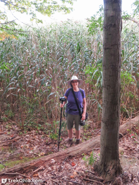
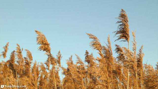
There is a native, North American variety of common reed grass, but the reed grass that we are seeing at Mentor Marsh is an invasive, European variety that some believe was introduced into America from seeds present in ship ballast. The two varieties of reed grass look so similar that the only way to distinguish between the American and the European plants is to do DNA testing. The plant grows up to 15 feet tall. Once common reed grass takes hold there are several ways that it chokes out competing plants. It creates so much shade that very little light filters through to the ground, so that smaller plants don’t stand a chance. It has a dense and extensive root structure from which offspring plants sprout. Reed grass produces gallic acid which degrades into mesoxalic acid. Both of these acids are toxic to certain other plants and seedlings that would otherwise be able to grow in that habitat. Reed grass soon crowds out cattails, wild rice and native orchids.
Getting Oriented
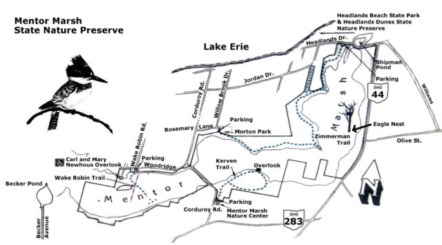
I photographed the map in the preserve’s kiosk, then edited the photo to make the words more legible. It appears below. Note that the trails are shown as dotted, gray lines with the exception of the Wake Robin Boardwalk whose position has changed. I drew in the location of the new boardwalk using a magenta line.
We did make an effort to do a GPS trace of our hikes at the preserve. Unfortunately the Zimmerman trace only captured a fraction of the trail (in yellow). We forgot to turn the GPS trace on when we began our hike at Morton Park, and we didn’t do the entire trail. However, I’ve made a guesstimate of where the rest of Zimmerman Trail is (shown in light green) based on the official map.
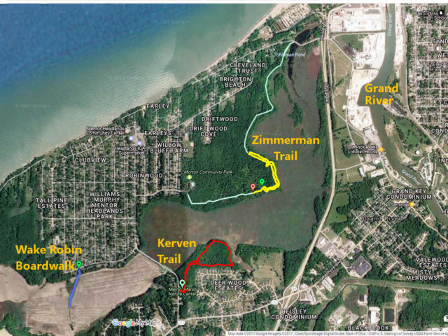
In the above map I’ve also labeled the Grand River which lies to the east of the preserve. I noted the location of the Grand River because it used to flow through Mentor Marsh, but for some reason changed its course 800 to 1000 years ago. So Mentor Marsh is an old riverbed that has filled in to a great degree with silt and organic material.
Because this is a wetland, if you are exploring the area during the warm part of the year I recommend that you use DEET or take some other precaution against mosquitoes. When we hiked here in mid-September, we used DEET and were largely untroubled by them.
Kerven Trail
We began our hike at Kerven Trail where the preserve’s nature center and kiosk are located. Since we were there on a weekday the Carol H. Sweet Nature Center was closed. If you want to visit the nature center, check the website of the Cleveland Museum of Natural History for the hours. When we were there the kiosk included a map and there were paper maps available for visitors.
The parking lot for the nature center and for the trailhead for the Kerven Trail is just off Corduroy Road. Back when this was more of a mucky, swampy area, settlers created a road that wagons could pass over by laying logs down in the mud side-by-side. This bumpy, log road was later named “Corduroy Road” because of the “cords” created by the parallel logs.
The Kerven Trail is a mile-long loop. Although we visited the preserve long after eaglets would have fledged, there is supposedly an eagle nest in this general area. We also caught sight of a deer while hiking.
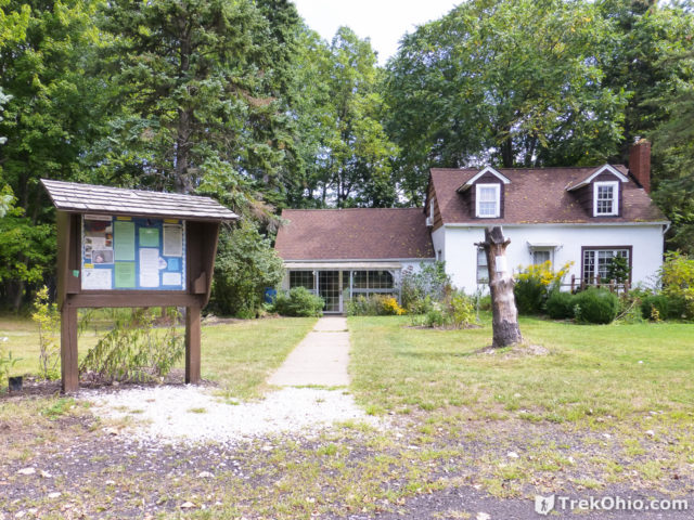
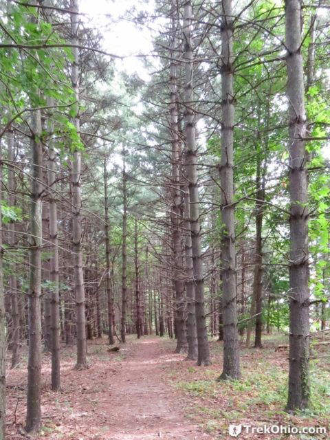
Shortly after entering the trailhead we passed through what appeared to be a pine plantation. In this general area, you have the option of doing a side trip that’s called the Buttefly Walk. I’ll return to this later. For now I’ll describe what’s on the main trail.
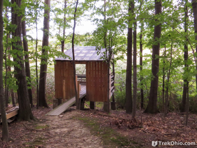
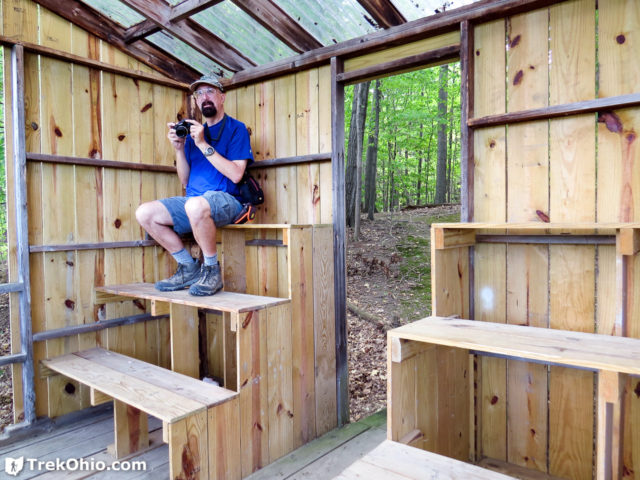
One of the highlights of the trail is an observation platform that’s located on the boundary of the woods and the marshland. Surprisingly it wasn’t a blind. Rather than having a wall that hides the human observer from the wildlife he is observing, there was a wall to the rear of the deck.
The roof was translucent so the deck area was well-lit.
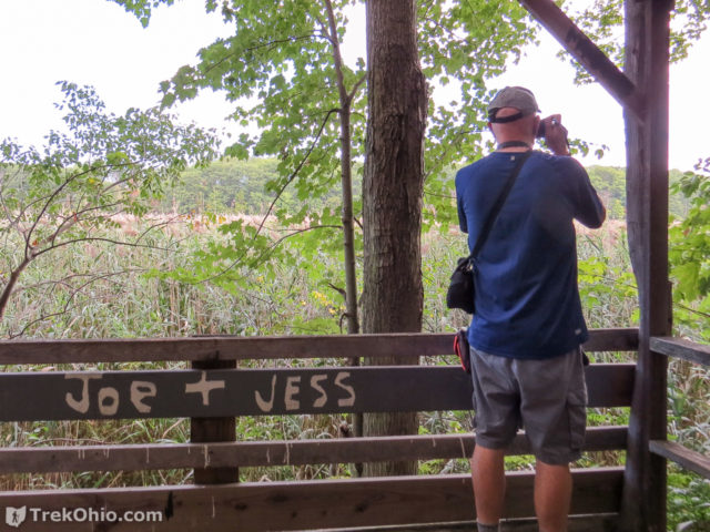
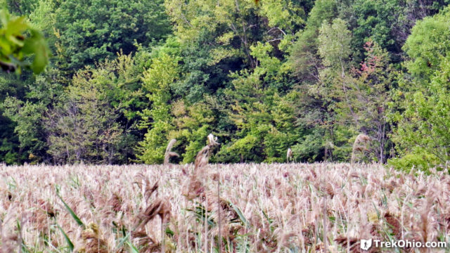
This was our first good look at the reed grass that has taken over much of the marsh. It was so thick it was impossible to see whether there was any standing water in this part of the marsh. I would imagine that birding from this site would be limited to watching birds fly into or out of the reed grass.
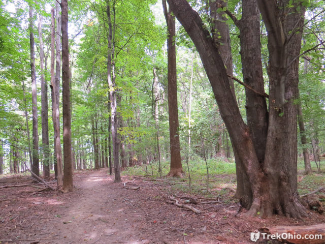
Besides getting a view of the marsh, the trail also provided a pleasant walk through the woods. We did see deer during this part of our hike.
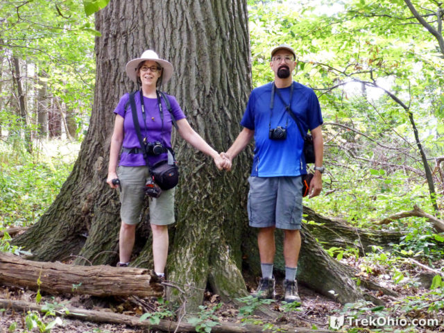
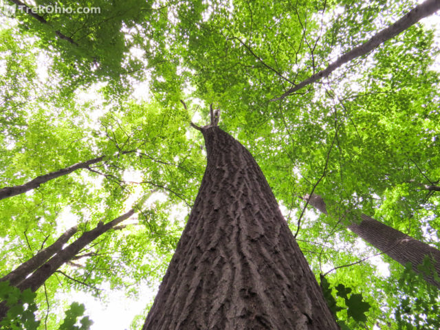
There were some really mature trees in this woods. Check out the size of the trunk below!
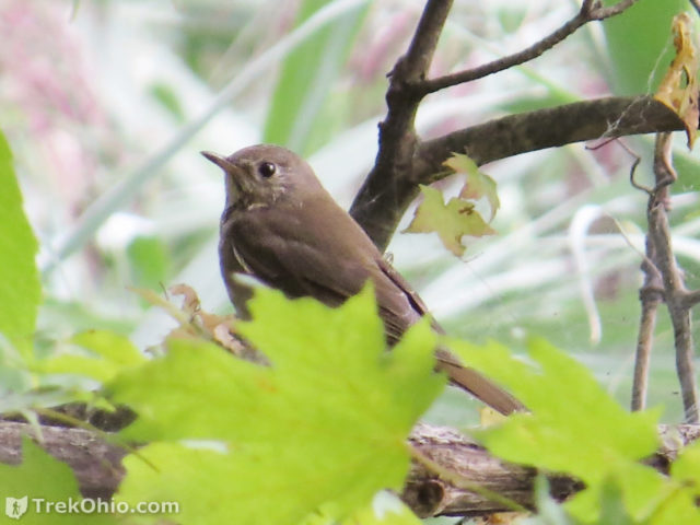
The woods of Mentor Marsh offer a nice stop-over for migrating songbirds. While we were there, we caught sight of a migrating hermit thrush that would be on its way south since we were there in September. Most migrant songbirds do their flying at night.
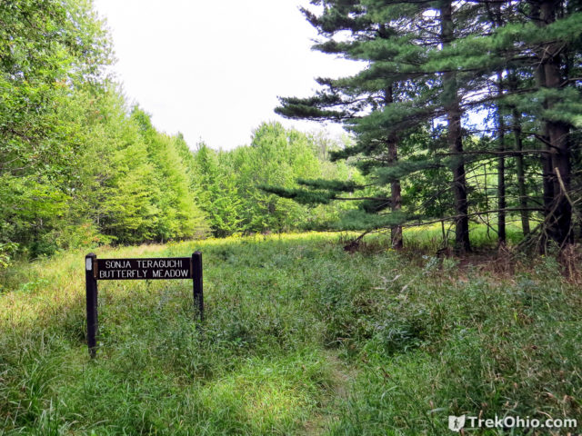
Sonja Teraguchi Butterfly Meadow
As I mentioned above, there is a fork in the trail that provides you an opportunity to check out a meadow with numerous wildflowers; these wildflowers attrack the butterflies.
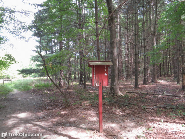
As you can see in the photo below, the trail through the meadow was quite narrow, so it was impossible to explore it without brushing up against grasses. Whenever you are walking through undergrowth while hiking, be sure to check for ticks afterwards. Ticks get onto people and animals by clinging to grasses with their rear legs while holding out their front legs in the hopes of grasping onto an animal that brushes up against it.
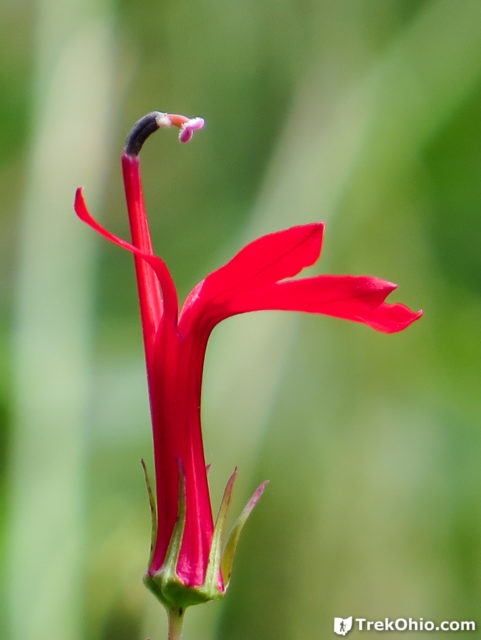
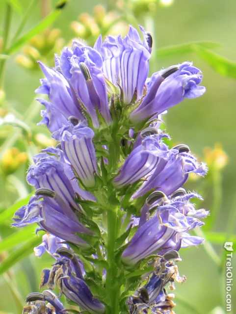
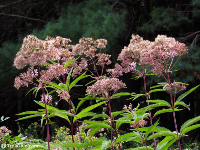
Although you might think that September is a bit late in the year to see wildflowers, there really are quite a few blooming this time of year including the beauties below.
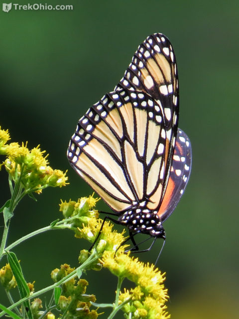
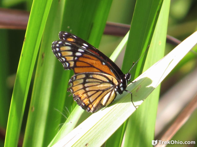
We did see monarch butterflies in the meadow. Viceroy butterflies mimic the look of the monarch butterfly. A photo of a viceroy butterfly will appear in the section about the boardwalk.
Zimmerman Trail
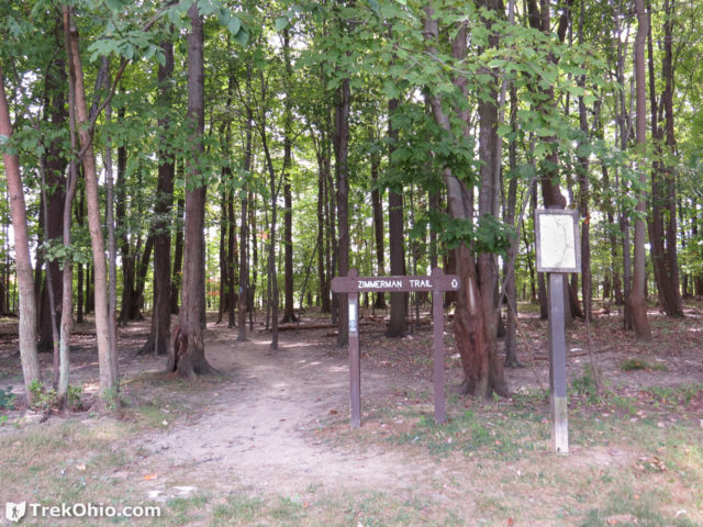
We visited Zimmerman Trail next. Zimmerman Trail is about two miles in length. Since it is not a loop, you will have to double back on the trail to get back to the beginning. There are two trailheads for this trail. One trailhead begins at the preserve’s border with Healands Beach State Park. We took the other trailhead that begins at the border between the preserve and Morton Park. A note on the post of the trailhead’s sign states that Zimmerman Trail overlaps with the Buckeye Trail. So the trail uses blue blazes to mark its location, as do all portions of the statewide Buckeye Trail.
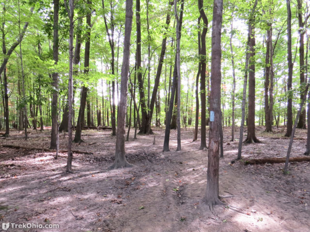
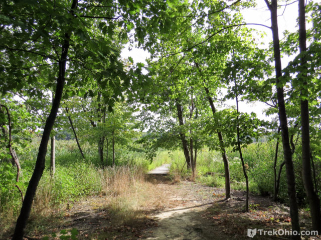
Note how sandy the ground appears to be in the photo below. During the portion of the trail that we hiked, this sandy floor was quite prevalent.
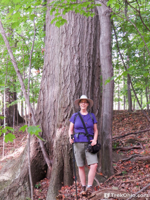
Although the trees in the above photo were relatively immature, there were also many mature trees that had reached an impressive size like the one below.
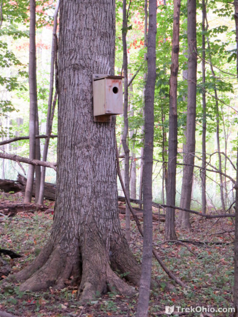
We saw quite a few nesting boxes for birds like the one below. Some were attached to trees while those in a meadow setting were on posts.
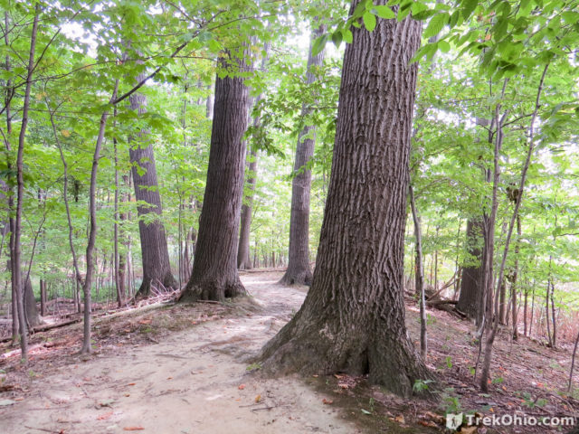
I thought the portion of the trail below was quite striking. The trail passes over a ridge that appears to be a sand dune.
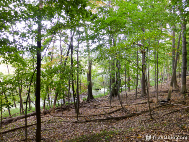
Although much of the trail was wooded, there were stretches where we could see the marsh through the trees as shown below.
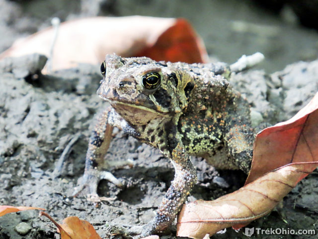
I thought the toad below did a great job of blending into his surroundings. Even his warts looked like the bumpy mud.
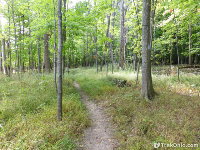
There were also areas where we passed through grassy openings.
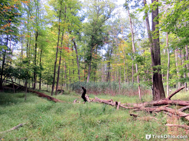
Since we still hoped to have enough time left in the afternoon to hike the boardwalk, we cut our hike short and returned the way that we came. However, I was really enjoying this trail and would like to come back some day and hike the trail from Morton Park to Headlands Beach State Park.
Wake Robin Trail and Boardwalk
I’ve seen this part of the trail spelled as “Wake Robin” and as “Wakerobin.” I’m sure that the trail and boardwalk gets its name because it’s near one end of Wake Robin Road. While I was researching this article I found an explanation for the name “Wake Robin.” Supposedly, settlers realized that robins disappeared over the winter, but they did not know that the robins migrated south. Instead the settlers allegedly believed that the robins buried themselves in the muck around the marsh over the winter and essentially hibernated. Then in the spring they would “wake” from their hibernation and reappear in the marsh. Nonetheless, I have been unable to convince myself that the settlers really believed this.
If like me you have been wondering about the non-migrating robins that you’ve spotted during the winter, check out my article on Ohio’s Overwintering Robins.
From the parking lot to the end of the boardwalk is about 1300 feet. The boardwalk is supposed to be a good place for birding. According to Haans Petruschke:
The Wake Robin Trail boardwalk is an excellent place to find Virginia and Sora Rails, bitterns, Marsh and Sedge Wren and a wide variety of sparrow species including Nelson’s and LeConte’s.
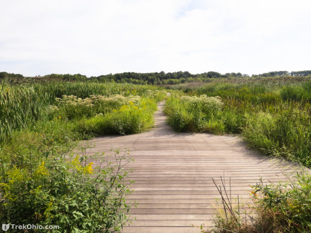
It turns out that the reed grass which dominates Mentor Marsh is relatively flammable. In April 2003 a fire spread through this reed grass and consumed 320 acres of the western marsh, burning up the boardwalk in the process. The boardwalk has since been re-built in a somewhat different orientation than that of the original boardwalk.
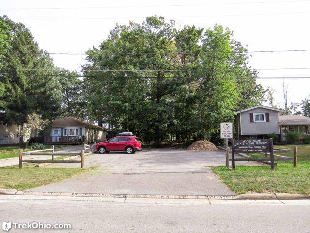
As you can see below, the entrance for this trailhead is sandwiched into suburbia. To find the trailhead, enter the woods to the rear of the photo between the red car and the mound of dirt.
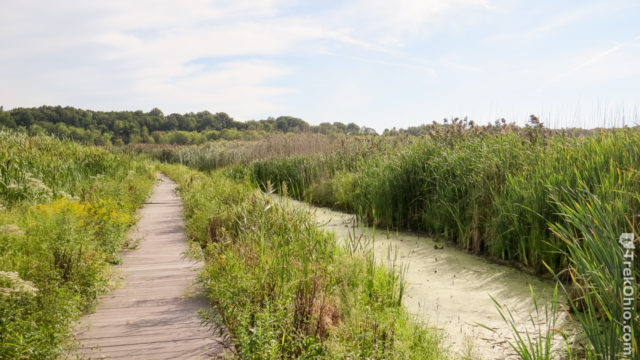
After passing through the woods, you come boardwalk that extends into the marsh.
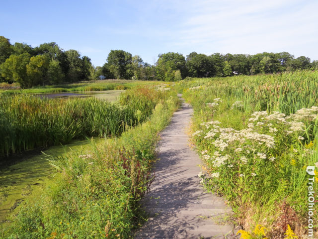
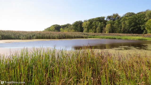
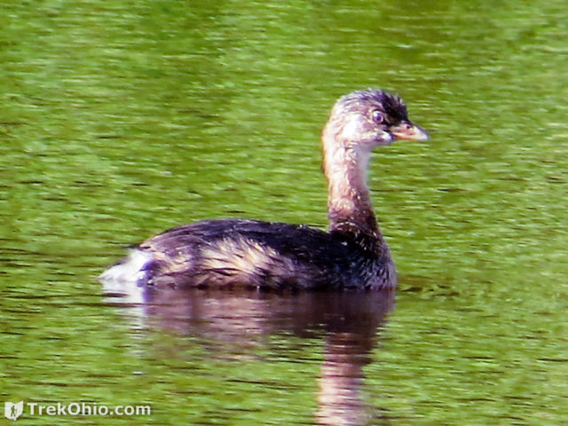
In the above photo there is an open body of water in the distance to the left. This is the same body of water that is shown in the topmost photo. Among other things there was pie-billed grebe in it.
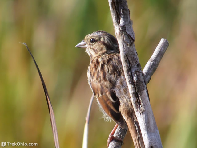
I didn’t get to see the relatively rare Nelson’s or LeConte’s sparrows. But I did see the little song sparrow below singing its heart out.
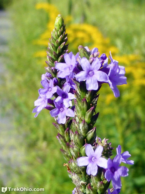
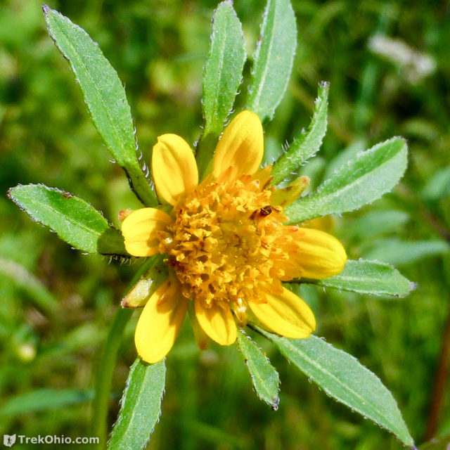
Although we were there near the end of summer, we saw a number of flowers blooming near the boardwalk.
Unlike the Monarch butterfly pictured earlier in this article, the viceroy butterfly below has a black bar running across the bottom of its hind wing.
One Weird Trick
We have been publishing articles at TrekOhio for about five years now, and so far we haven’t published a single article about one weird trick. However, I couldn’t resist this time around. Here’s one weird trick that occurred at Mentor Marsh: pulling a caiman out of an Ohio marsh. In September of 2004 officials from the Ohio Division of Natural Areas and Preserves captured a 3-foot caiman in Mentor Marsh. Apparently there had been a number of sightings of the creature before its capture, and it had become known among the locals as the Mentor monster. The caiman didn’t want to leave the marsh, and it put up such a struggle that it nearly tipped over the boat that eventually brought it to shore.
Additional information
- TrekOhio: Lake County Parks & Nature Preserves — This is the county where Mentor Marsh is located; check out this page for a link to the official site and for information on nearby parks and preserves.
- TrekOhio: Birding Resources — Our collection of links to websites, articles, maps, and videos related to birding in Ohio. Points to information on birding hotspots, organizations, events, and more.
- ODNR Lake Erie Birding: Mentor Marsh State Nature Preserve — Discusses birding at Mentor Marsh, including which species to look for and what time of year to go for the best viewing opportunities.
- Cleveland Museum of Natural History: Mentor Marsh & Carol H. Sweet Nature Center
- Cleveland Museum of Natural History: Mentor Marsh Programs — Includes information on the naturalist-led hikes that are offered on Sundays when the nature center is open, as well as other events such as the Bald Eagle Fest that is being held in May.
- Ohio eBird Hotspots: Mentor Marsh State Nature Preserve
- Facebook page for Mentor Marsh — The Facebook page includes updates on CMNH’s efforts to restore Mentor Marsh, as well as marsh-related news and events
- Wikipedia: Tailings — This is the left-over residue that’s produced while mining a substance, in the case of Mentor Marsh, while mining salt.
- Documents related to the park’s history, especially related to its salt issues. These documents seem like the kind of documents that will eventually disappear from the web, but they were available when I wrote this on 02/24/2017:
- Watery world by Bob Downing: This was an article published in the Akron Beacon Journal (no idea when) that was scanned and put on the web by HikingOhioParks.com. It is available as a PDF in two pages: page 1 and page 2. This article provides a very nice overview of the park and its history. In particular it mentions a salt mine spill in 1963 that seems to have made the marsh so brackish that reed grass became the marsh’s dominant species. Prior to this point there were still regions of the marsh where there was open water and cattails. It also mentions that there was a reed grass fire in 2003 that burned 320 acres of the western portion of the marsh.
- Ohio EPA Report Discusses Impact of Former Salt Mine on Mentor Marsh — Published Sept. 2, 2011. Discusses a tailings landfill located on the banks of Blackbrook Creek which flows directly into Mentor Marsh. In 1965 a private landowner, Jerome Osborne, apparently had agreed to dispose of tailings from the Morton Salt Company on his property starting. Osborne later agreed to shut the landfill down when the Ohio EPA informed his landfill was seeping too much salt into the marsh. Approximately 265,000 tons of tailings had already been deposited there by that time. Although there has been effort to seal the landfill with various substances (clay, lime kiln ash and fly ash), salt from the landfill continues to seep into the creek’s water which flows into the marsh.
- Report reveals what was dumped in former salt landfill near Mentor Marsh — Published Sept. 2, 2011. Indicates that from April through September 1966, the Osborne Concrete and Stone Co. disposed about 265,000 tons of salt mining wastes on the property. Years later the owner not only tried to seal the landfill to stop leakage, but he also relocated Blackbrook Creek in an attempt to prevent chemicals from leaking into the groundwater.
- eBird printable checklist for birds based on those species that have been seen on the various trails in the presere:
- eBird printable checklist for Kerven Trail
- eBird printable checklist for Wake Robin Trail
- eBird printable checklist for Zimmerman Trail
- Reed Grass:
- Wikipedia: Phragmites — Discusses both the type of reed grass plaguing Mentor Marsh and other sub-species located elsewahere in the world.
- NPS.gov: Common Reed (Phragmites australis)
- ODNR: Ohio's Top Invasive Plants — Includes information on reed grass (Phragmites).
Location
- Carol H. Sweet Nature Center & Kerven Trail
-
- Address: 5185 Corduroy Road, Mentor, Ohio 44060
- GPS Coordinates: 41.729368, -81.305579
- Google Maps: view on map or get directions
- Wake Robin Boardwalk
-
- Location: South of Woodridge Road, just east of its intersection with Wake Robin Road in Mentor, Ohio.
- GPS Coordinates: 41.731535, -81.318461
- Google Maps: view on map or get directions
- Zimmerman Trailhead via Morton Park
-
- Morton Park address: 9299 Rosemary Lane, Mentor, Ohio 44060
- GPS Coordinates: 41.738451, -81.304918
- Google Maps: view on map or get directions
More on Lake County
