Goll Woods State Nature Preserve is a 321-acre preserve in Fulton County with 5.25 miles of trail. The trail system approaches the Tiffin River in two places, and it also passes by the Goll Cemetery and the preserve office for the Northwest Preserve District. One hundrd acres of the preserve are old growth forest (sometimes referred to as “virgin woods”). Some of the trees in this region are up to 400 years old and have reached a diameter of 4 feet. Among the largest trees are bur oak, white oak, chinquapin oak, and cottonwood. This preserve is also renowned for the number and variety of spring wildflowers found there.
Getting Oriented
The map below was published by the Ohio Dept. of Natural Resources (ODNR), except it was published with north pointing downwards. I edited the map so that north would point upwards, and I re-typed the labels on the map so they would be in the right direction to be read. However the pine trees on the map that represent the old pine plantation are now upside down. ![]()
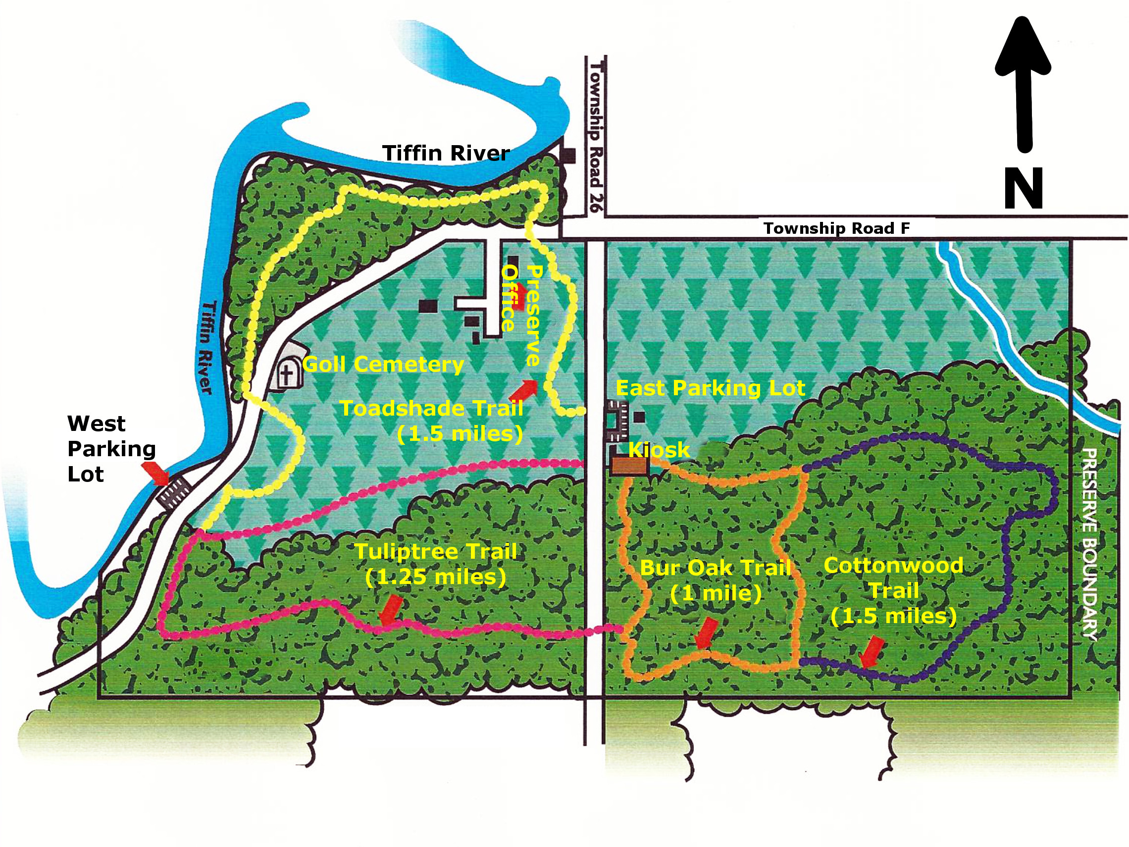
The main parking lot (the eastern one) is off of Township Road 26. This road runs north-south through the middle of the preserve. There are two trails to the west of the road: Toadshade Trail (1.5 miles) and Tuliptree Trail (1.25 miles). There are also two trails to the east of Township Road 26: Bur Oak Trail (1 mile) and Cottonwood Trail (1.5 miles). We combined the trails to do a figure-eight hike starting in the center of the figure eight at the East parking lot. We began by crossing Township Road 26 and hiked counter-clockwise on Toadshade Trail to the West parking lot, then took the Tuliptree Trail until we had crossed Township Road 26 again. Once back on the eastern side of the preserve, we did a clockwise loop that combined the Bur Oak Trail and the Cottonwood Trail. Our total hike was 3.7 miles. We did a GPS trace of the hike and published it on Google Maps. Below is a screenshot of the GPS trace. Alternatively you can view it on Google Maps.

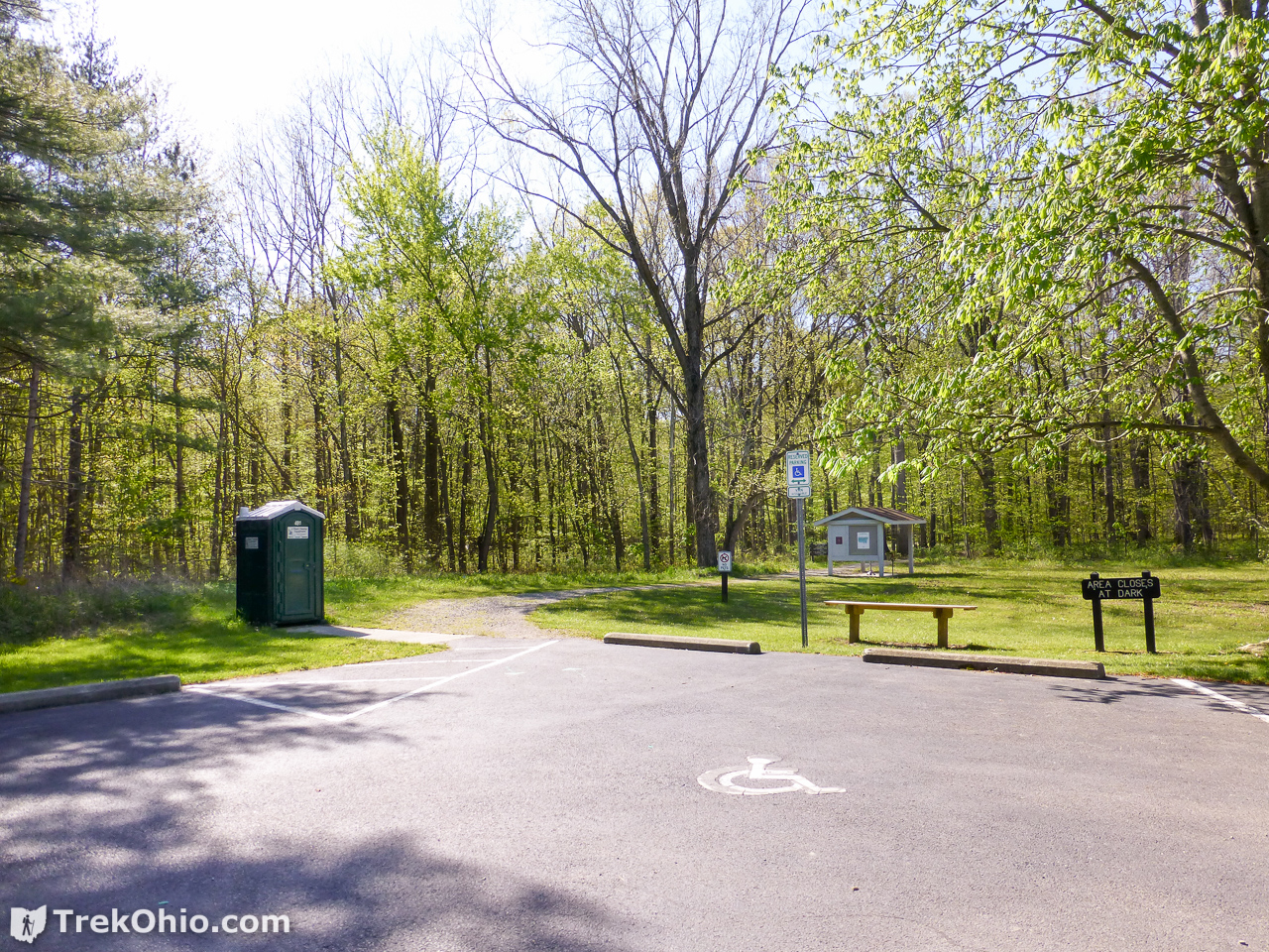
From the parking lot you can take one of two trails. At the southeast corner of the parking lot is the trailhead for Bur Oak Trail as shown below. Note that the kiosk and a portable toilet are also located in this area.
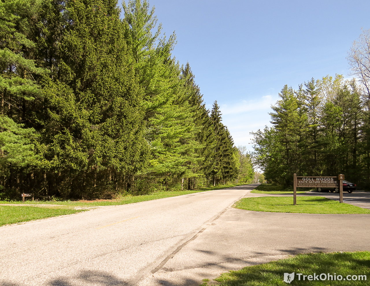
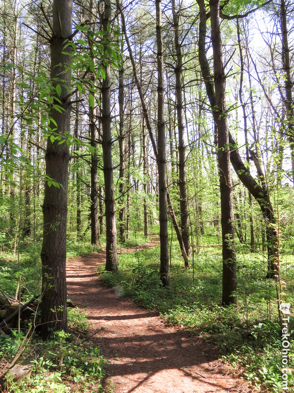
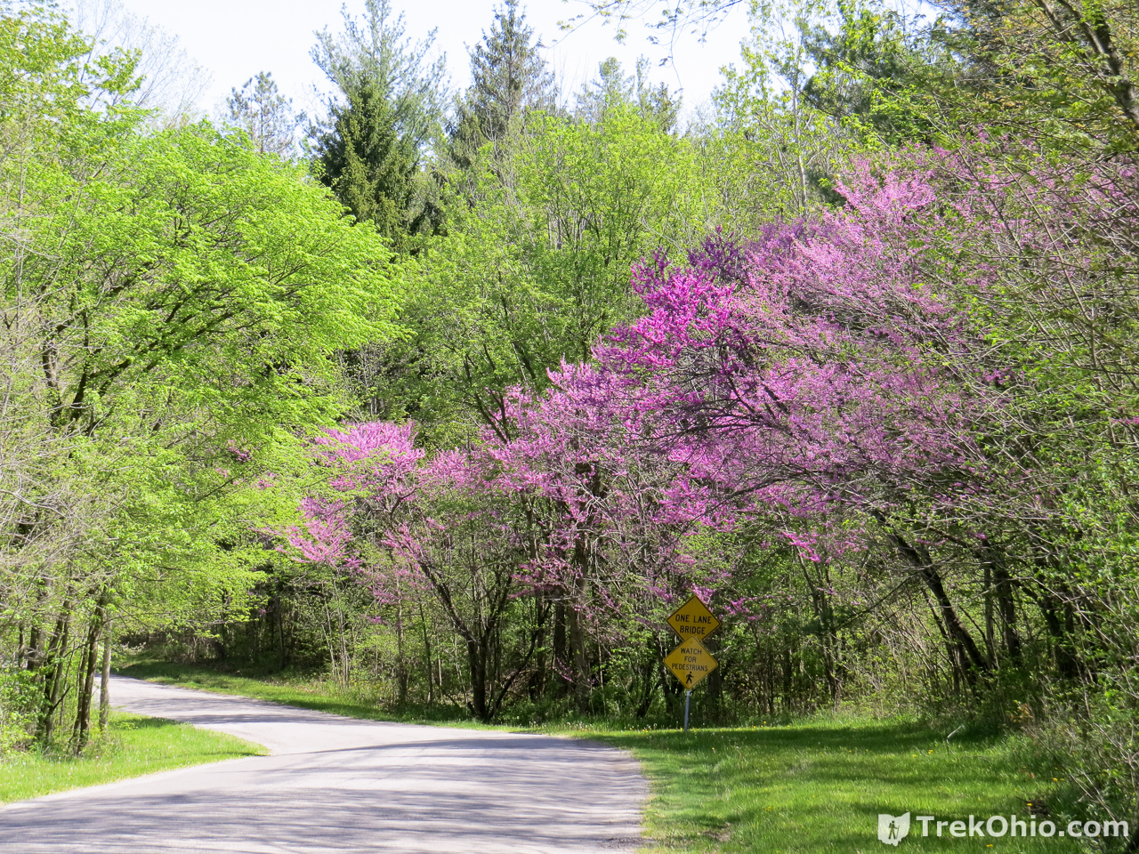
Across Township Road 26 from the parking lot is the trailhead for Toadshade Trail. We decided to start our hike on this trail. As you can in the photo below, there is a pine forest across the road from the parking lot. This is the pine plantation.
Toadshade Trail
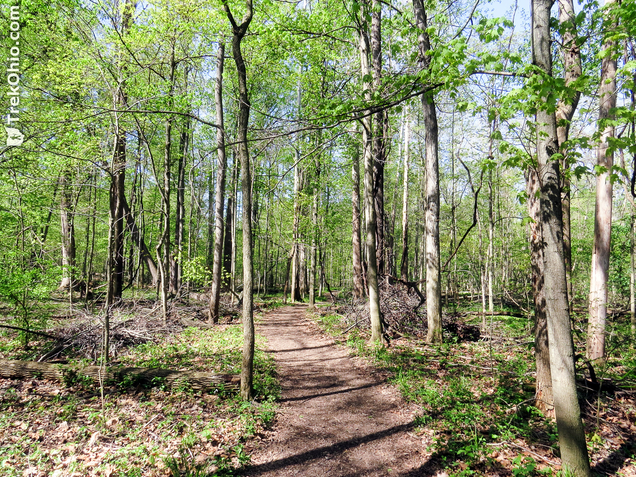
The trail begins by passing through the pine plantation.
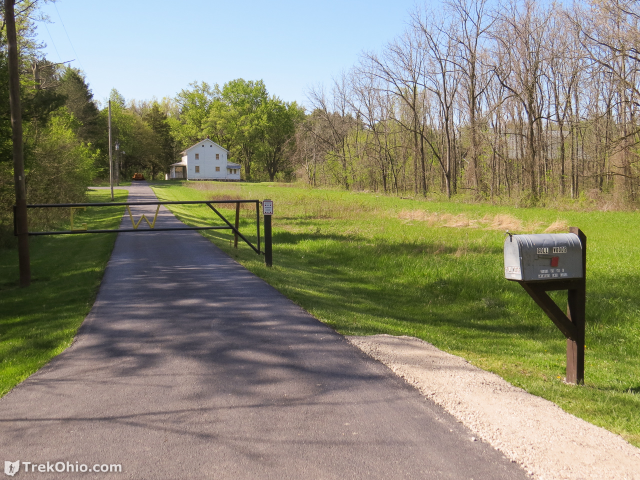
When we reached Township Road F we were near the entrance for the preserve office for the Northwest District.
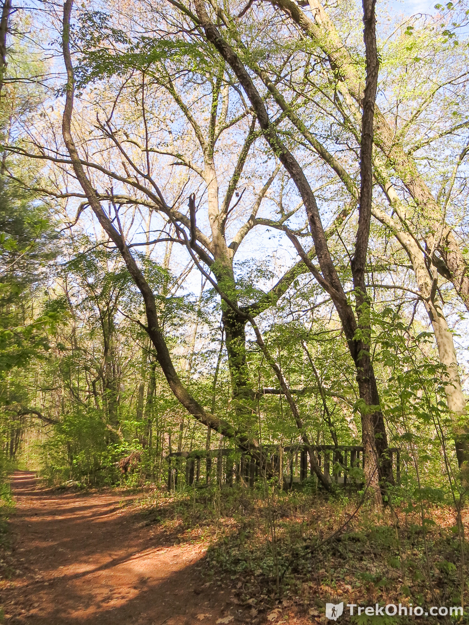
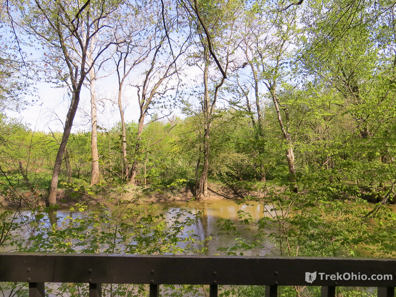
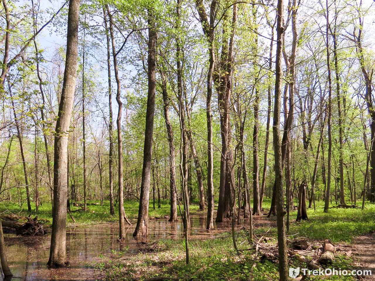
After crossing Township Road F we passed through a deciduous forest toward the Tiffin River. An observation deck overlooks the river.
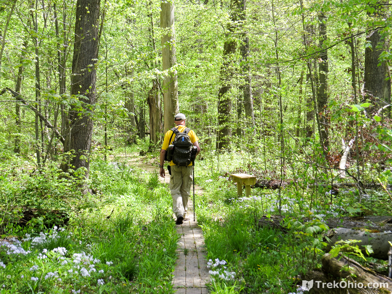
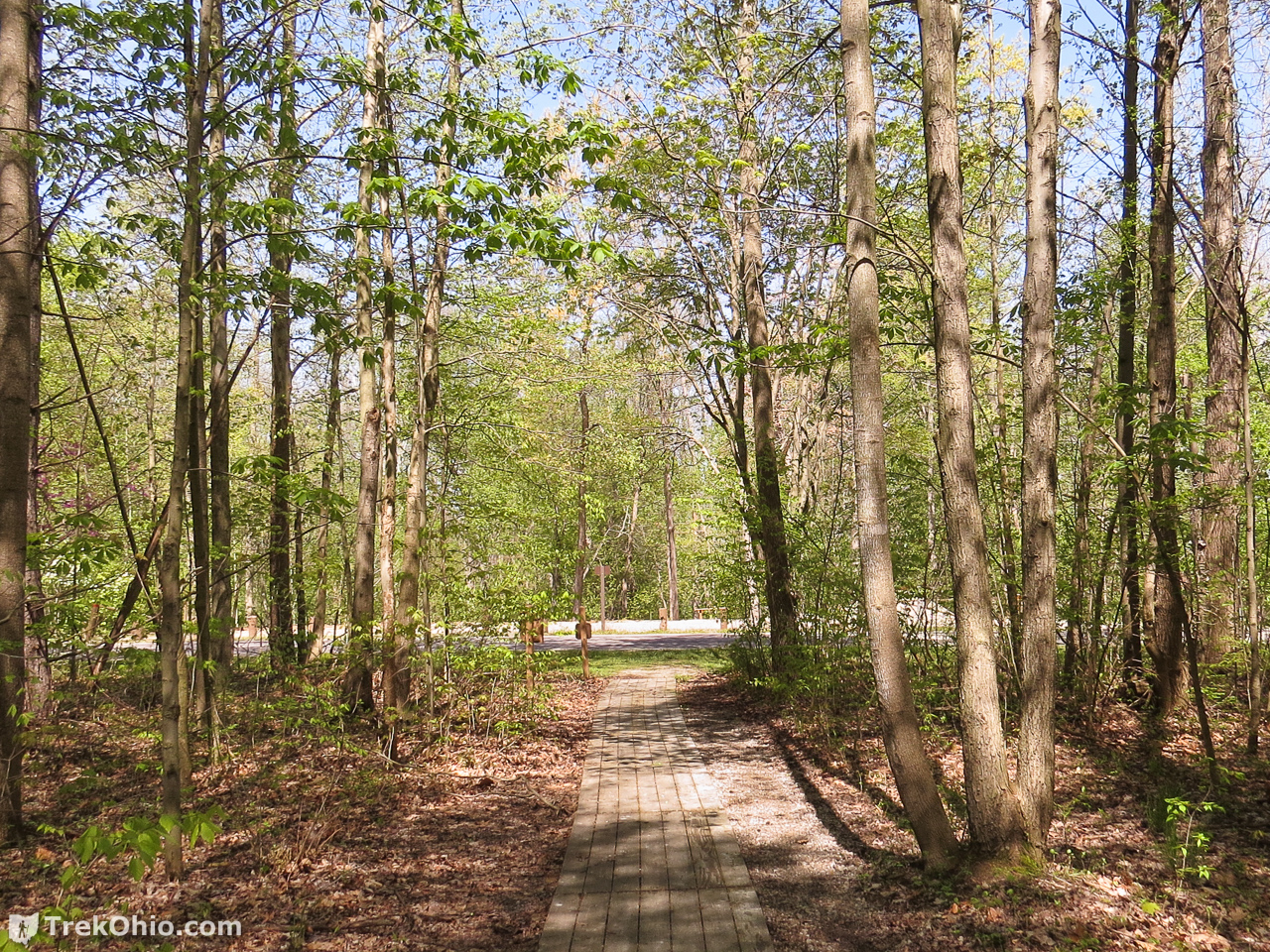
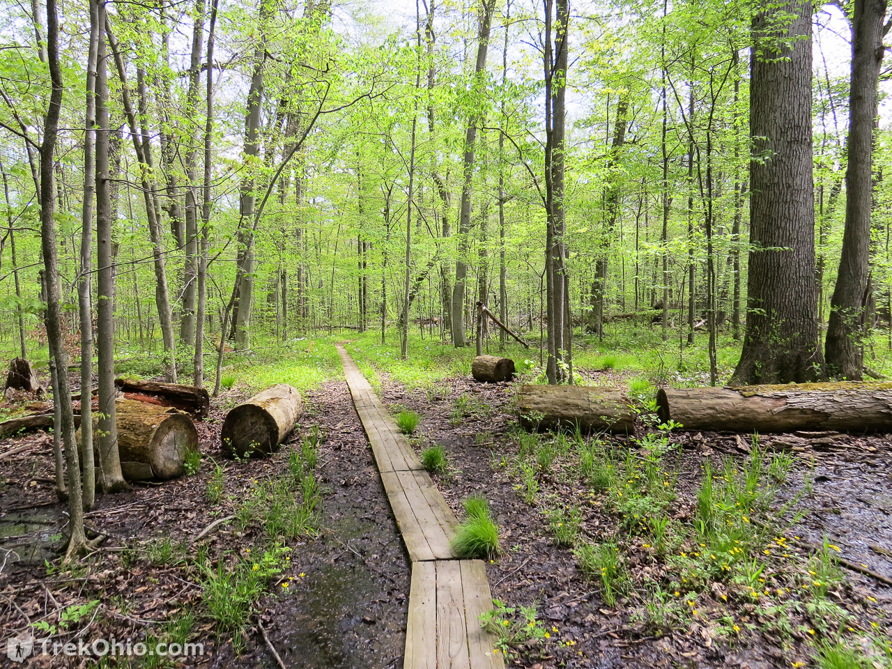
After leaving the observation deck we continued through the deciduous forest. From time to time we passed vernal pools. When the trail led through wet areas boards were laid down so visitors wouldn’t be hiking through mud. This region of Ohio was once dominated by what was called the Black Swamp and a bit of this habitat lives on at Goll Woods. If you are visiting the preserve during the warm months of the year, it would be good idea to apply DEET or take some other precaution against mosquitoes.
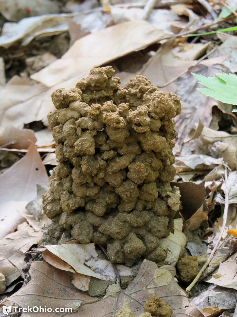
Not far from one of these wet areas we came across a number of crawdad chimneys like the one below. Burrowing crawdads (also known as crawfish, or crayfish) can burrow down as far as five feet in search of the water table. They stay underground during the day, and come out at night to eat or mate.
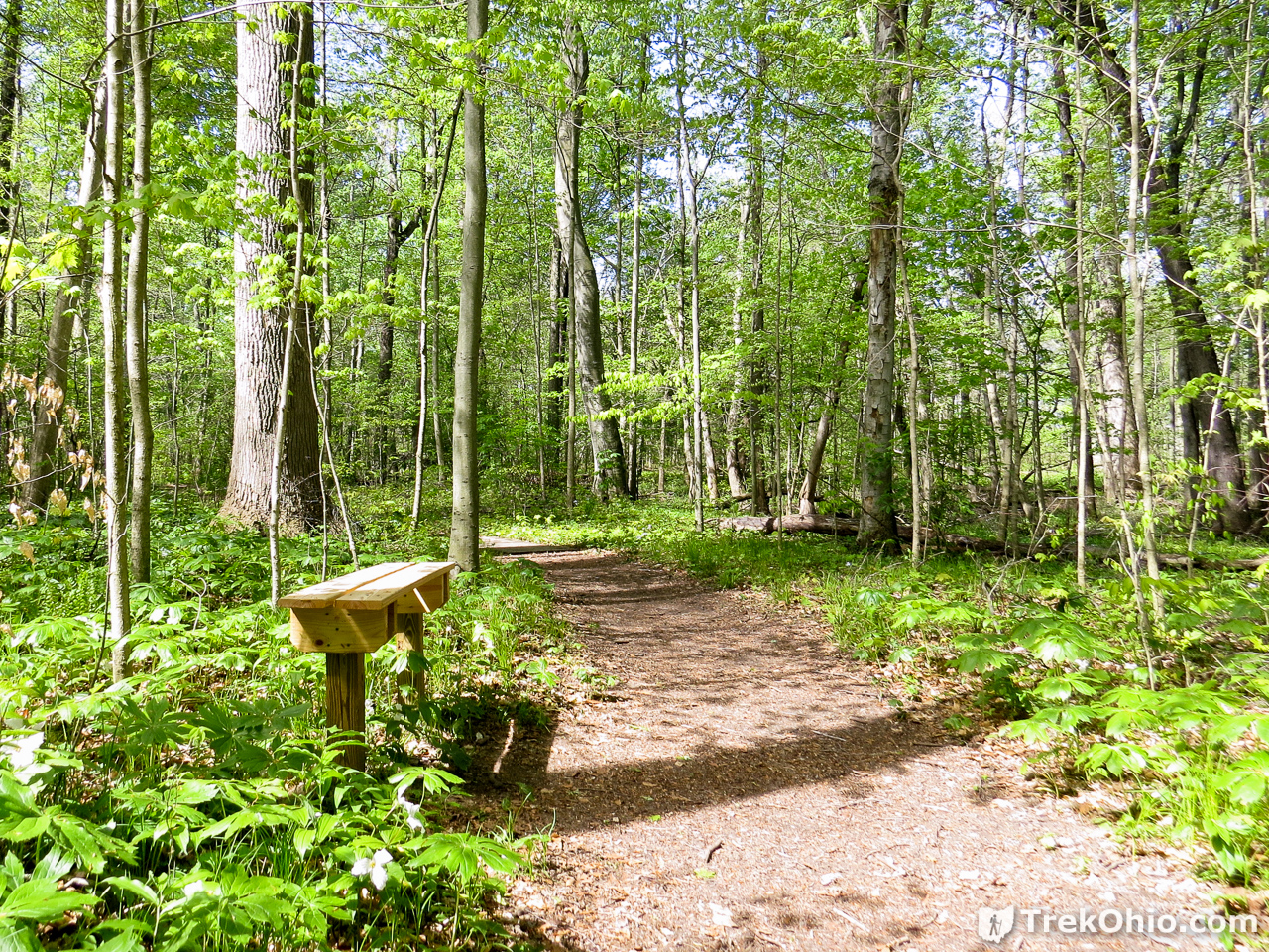
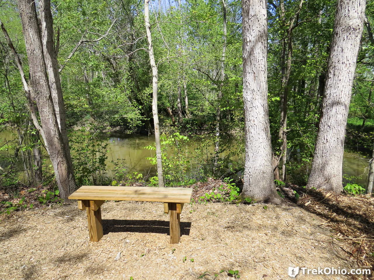
Throughout the preserve we passed a number of benches like the one below.
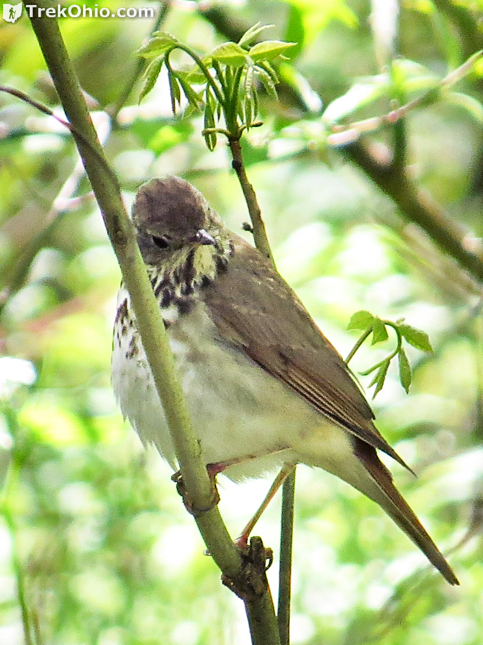
Along one of the trails we caught sight of the thrush below. Since we were visiting in May it was migrating northwards where it would spend the summer in Canada.
The trail bent back toward Township Road F once again and when it opened on the road we were across from Goll Cemetery.
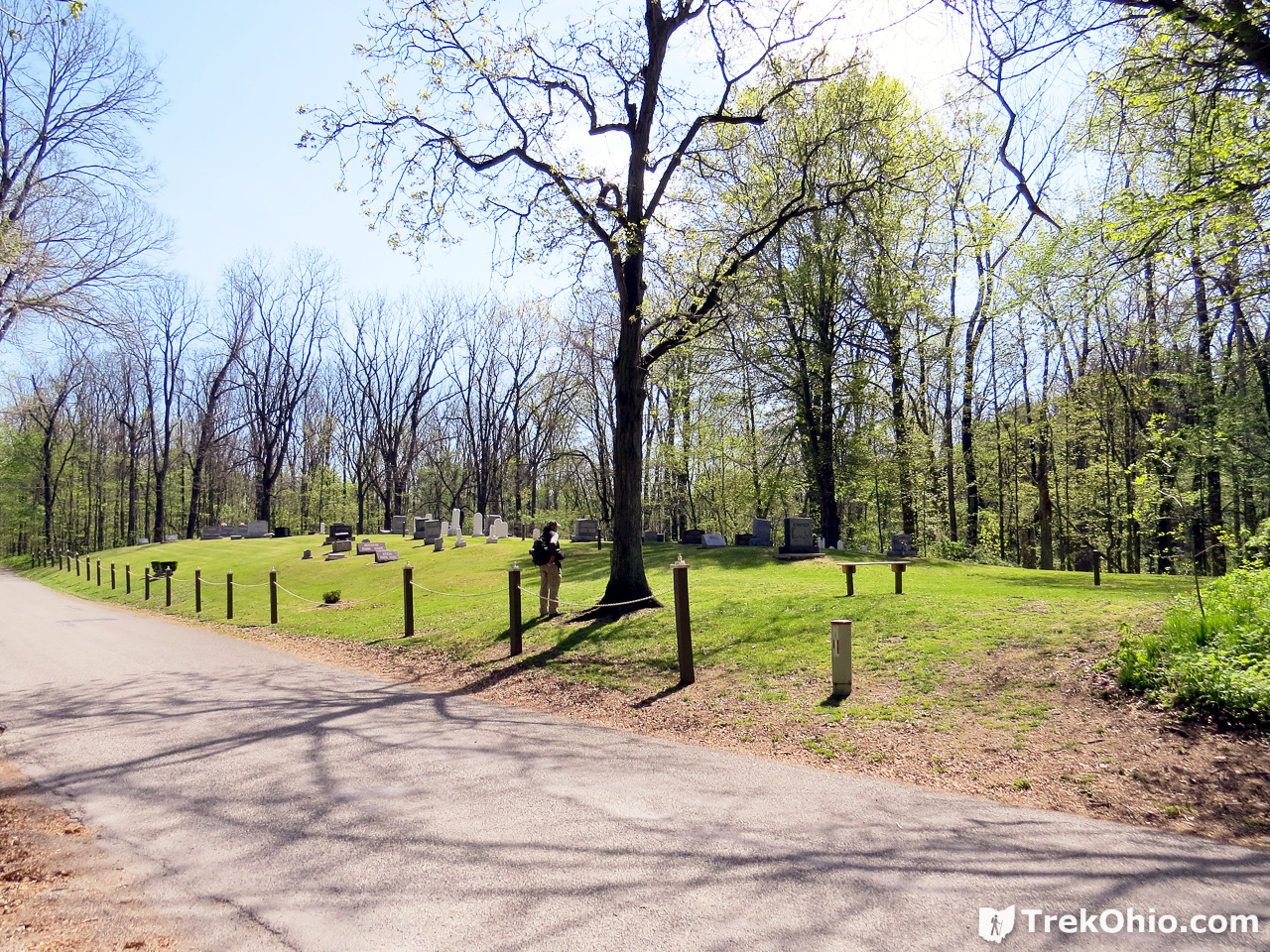
It wasn’t immediately apparent how to continue on with the trail once we reached the cemetery. It turns out that the trail starts again down the road from the cemetery. Go south on Township Road F (right) and you’ll pass some girders lining the road. Just beyond the girders, there is a trailhead to the east of the road (to the left).
In a short while you will have a choice of trails, one of which leads back to Township Road F. Across the road is the West Parking Lot.
On the far side of the parking lot, there is another bench. This one overlooks the Tiffin River. Since we reached this point around noon, we stopped and had our lunch here.
Tuliptree Trail
After lunch we crossed Township Road F again to continue our hike. At this point we had a choice of trails. We chose to go on the Tuliptree trail. It’s on the far right below. The entrance looked a bit overgrown, but once we got started on it, it really wasn’t bad.

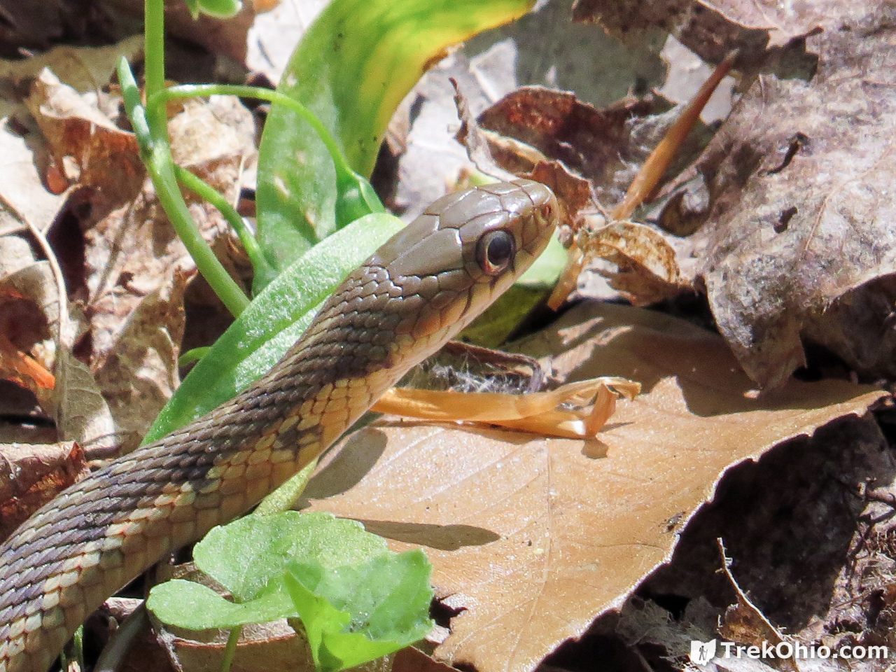
We passed a gartersnake on the side of the trail.
As we progressed we passed over another boardwalk.
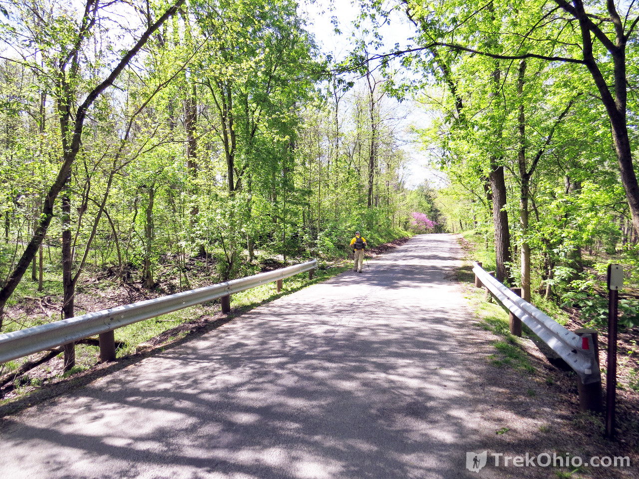
Eventually we came back to Township Road 26. The crossing is farther south than our original crossing from the parking lot.


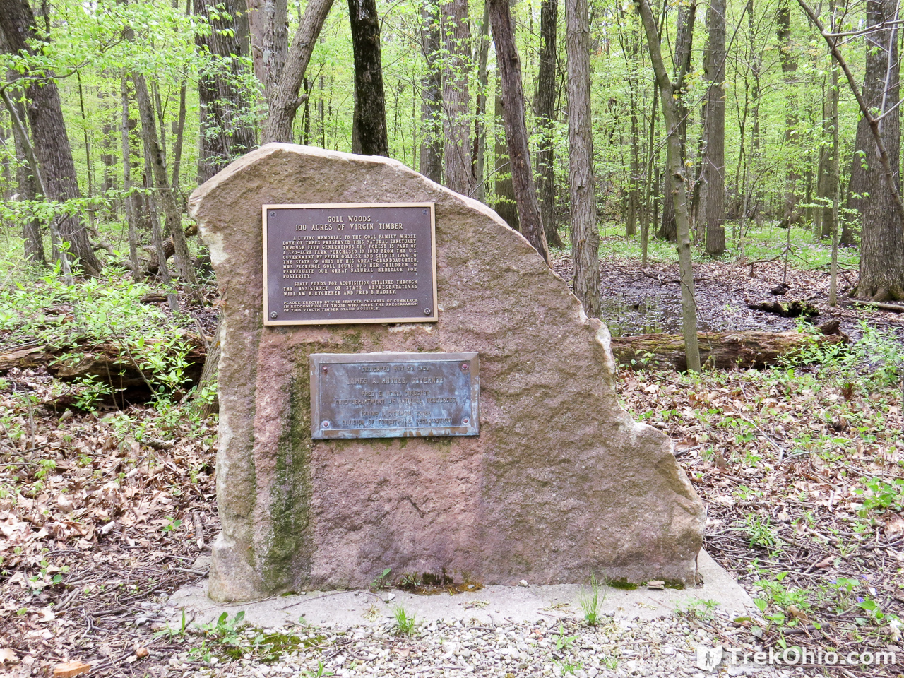
Shorting after crossing Township Road 26 to the eastern half of the preserve, we came across the stone marker below. It described the virgin woods at the preserve.
Bur Oak Trail & Cottonwood Trail
Shortly after crossing the road, Tuliptree Trail terminates at Bur Oak Trail. We chose to go clockwise on Bur Oak Trail. We covered about 3/4 of this trail and all of Cottonwood Trail to make one large loop.
Below was one of the larger Bur Oak trees that we passed along the trail.

The trail was wide and in good condition. We passed by a number of benches and vernal pools.


I had never heard of the Naturalist Scouts. It turns out it is possible to form special clubs that are under the direction of the Boy Scouts. If you are interested, I provided a link to their website below.
When we were almost at the end of our hike we passed by the posh bench below that was provided by the Ohio Association of Garden Clubs.

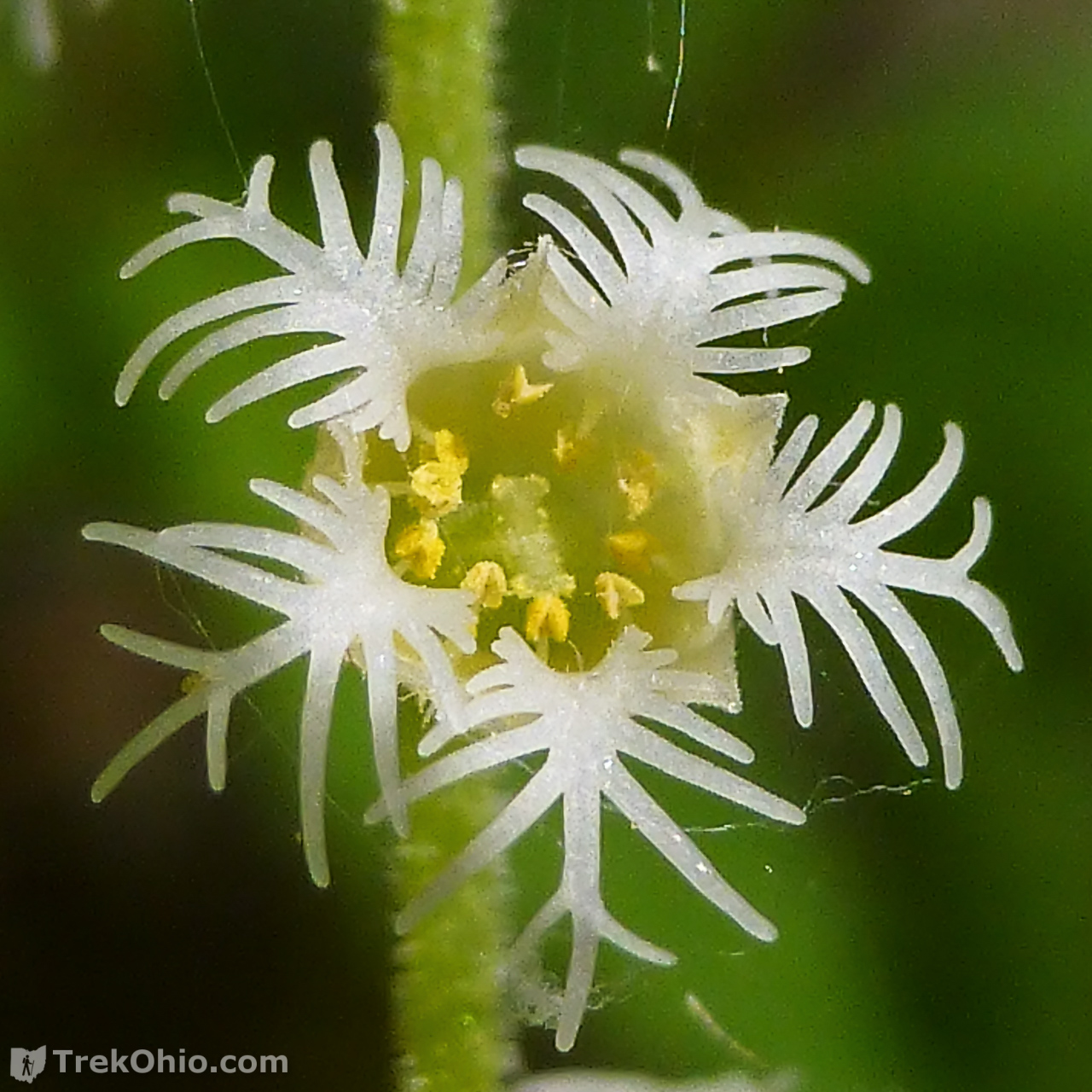
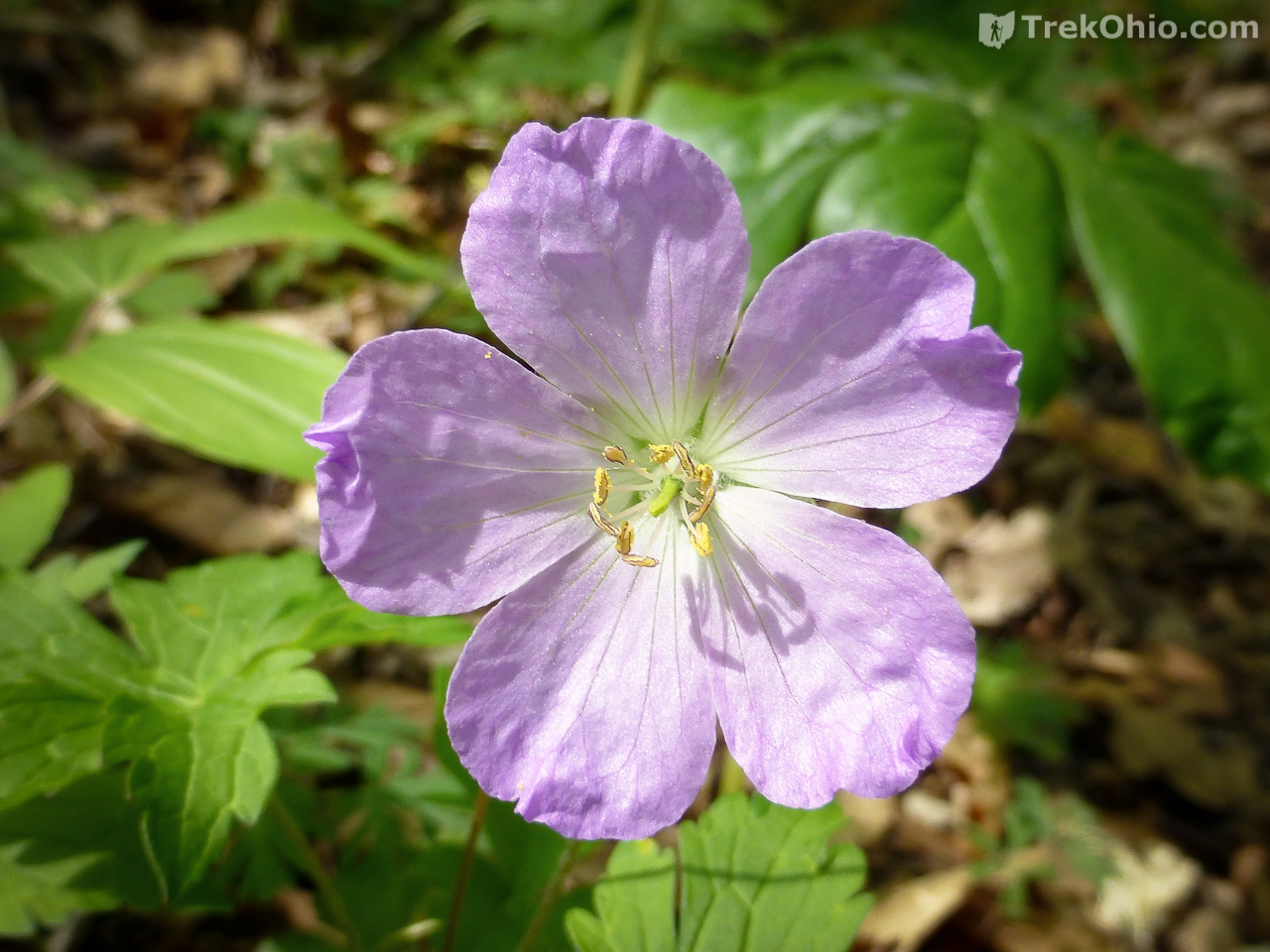
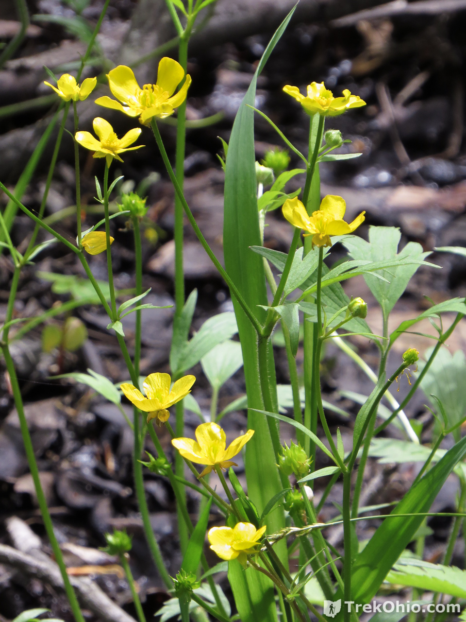
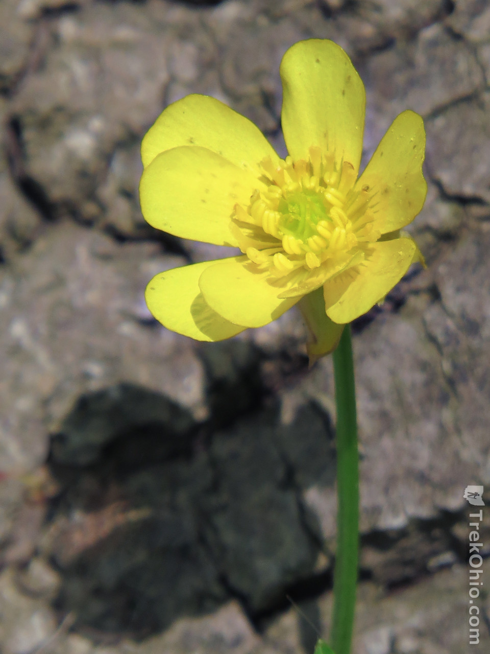
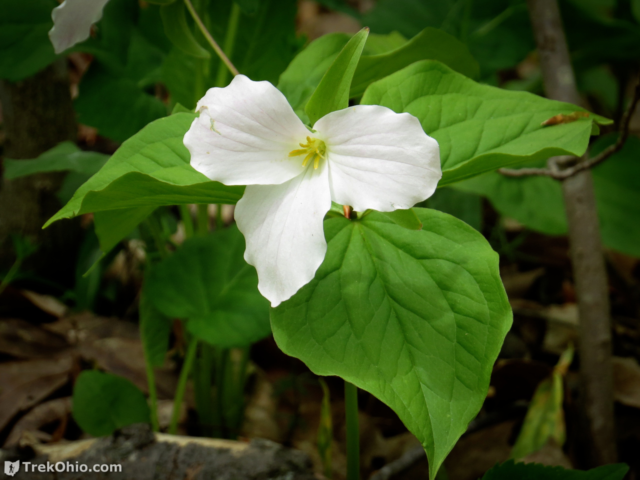
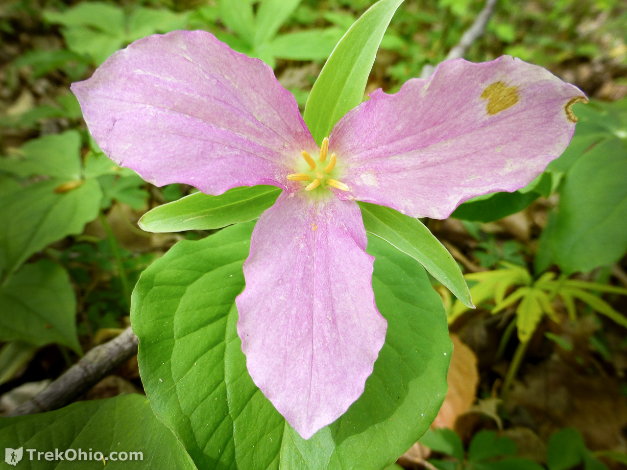
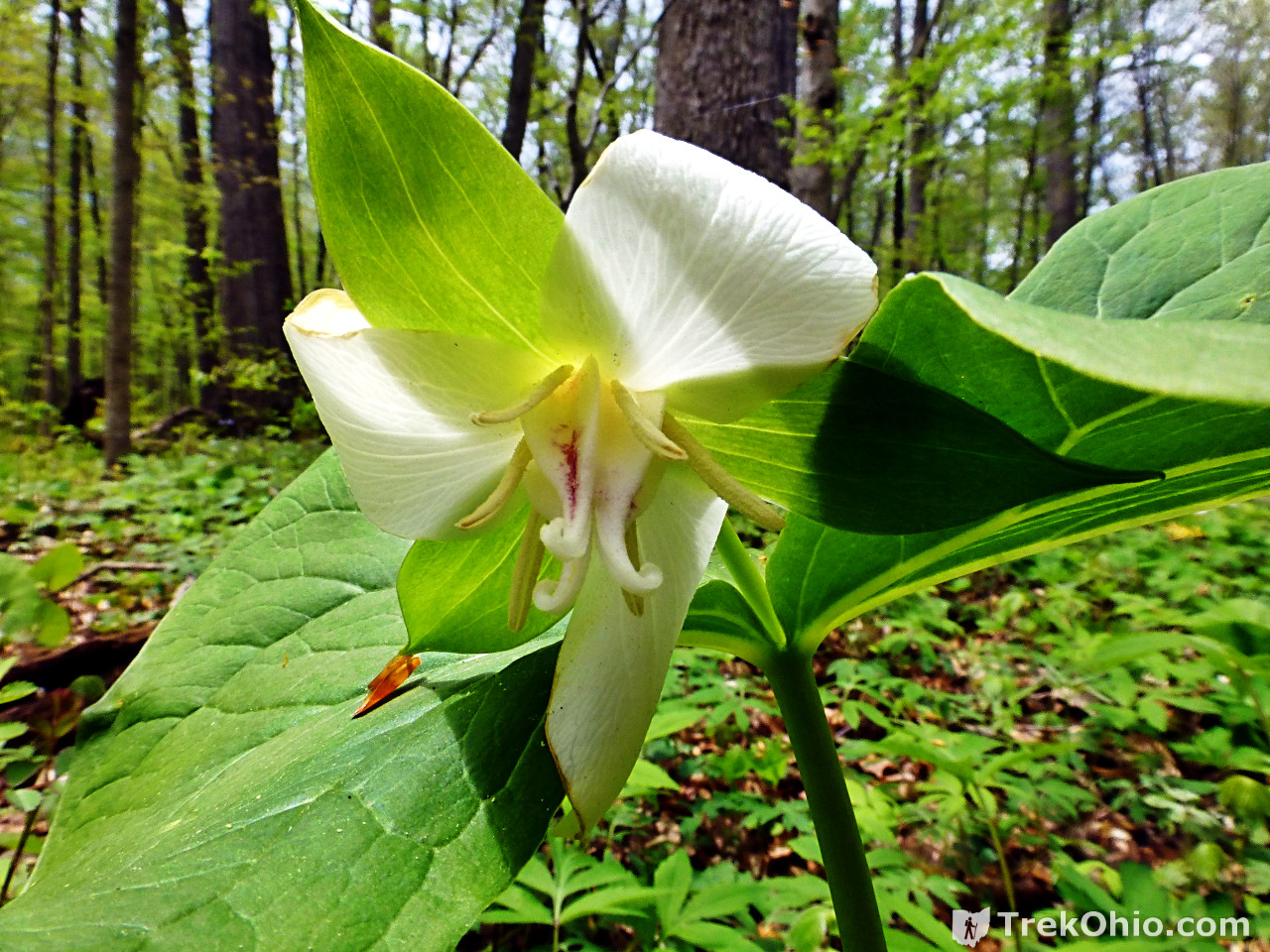
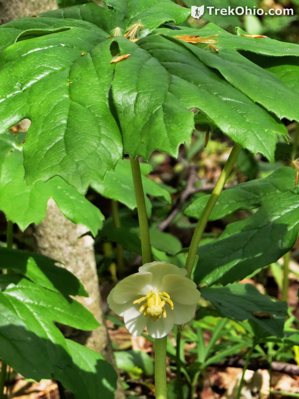
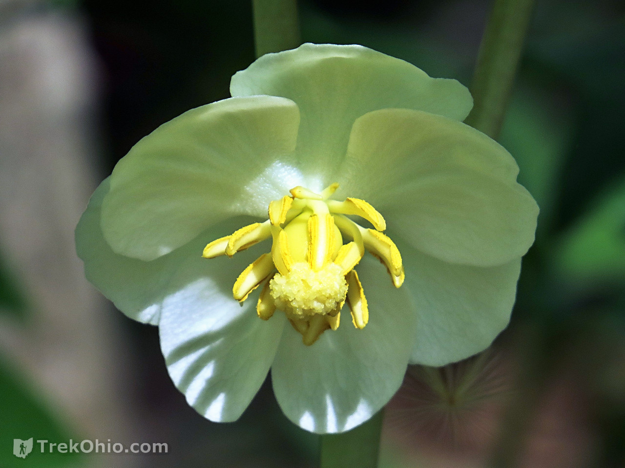
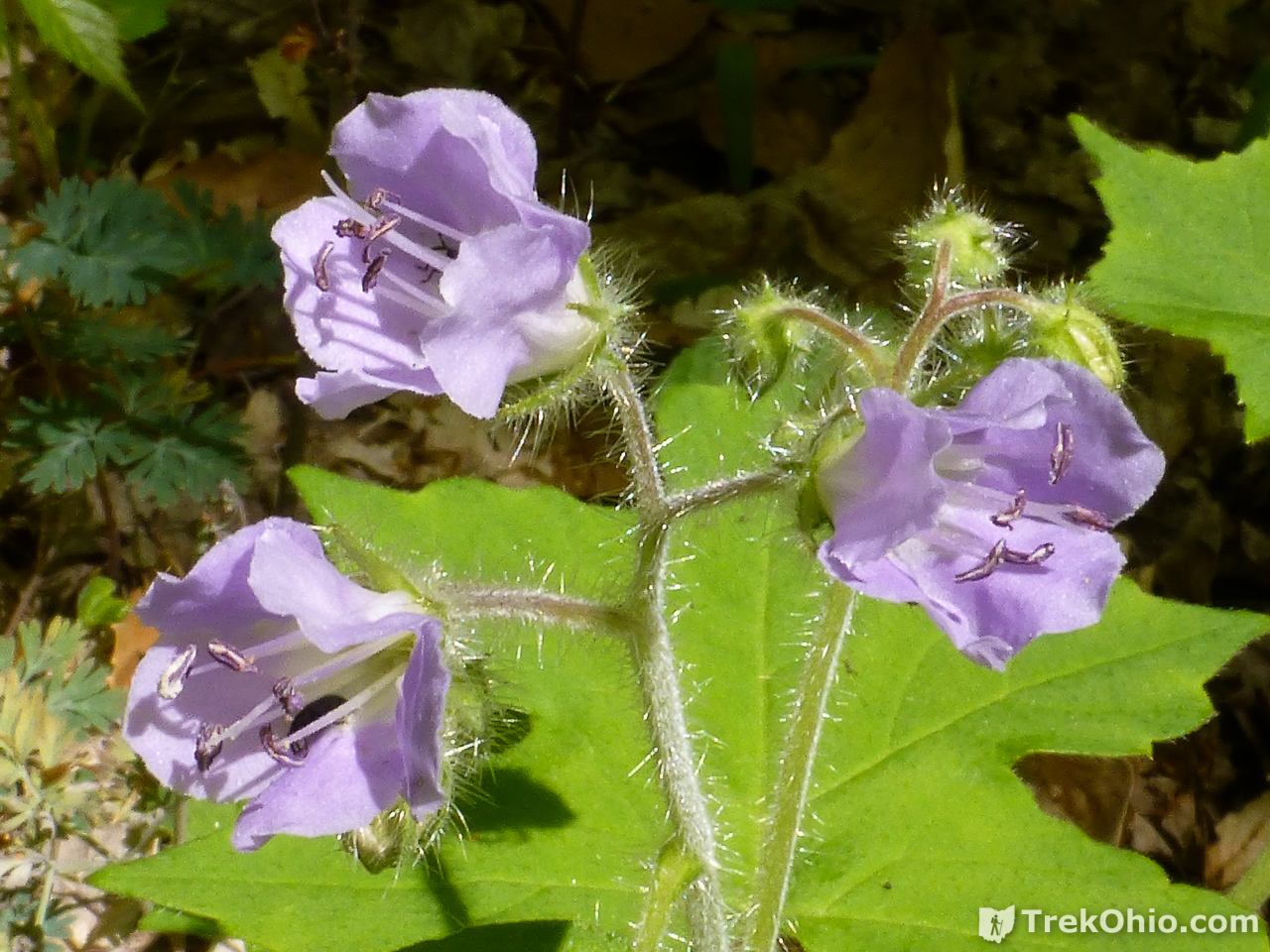
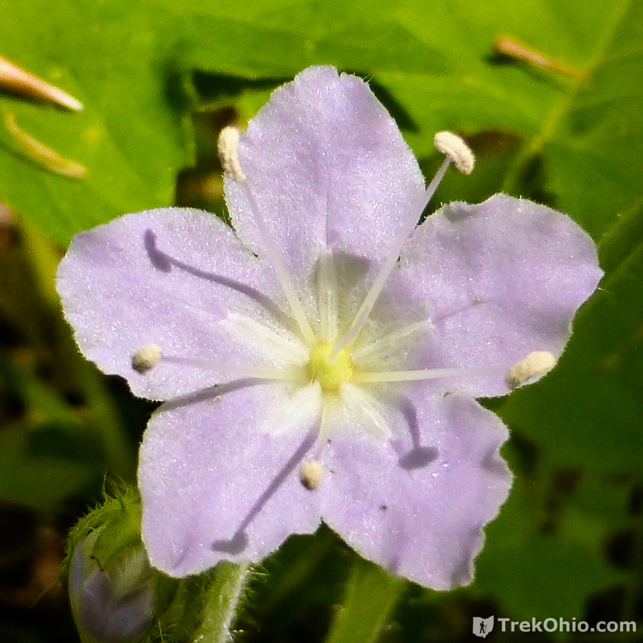
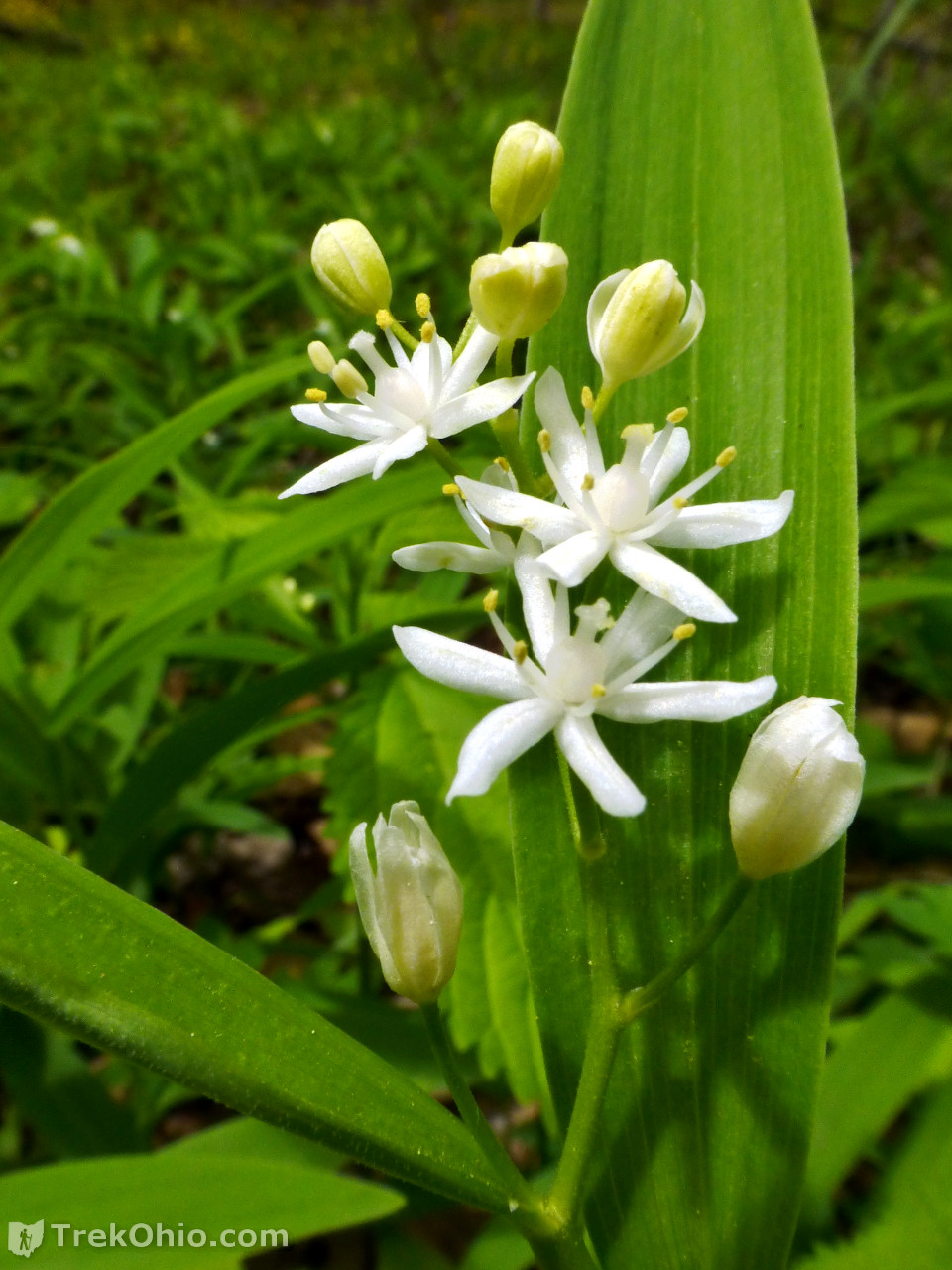
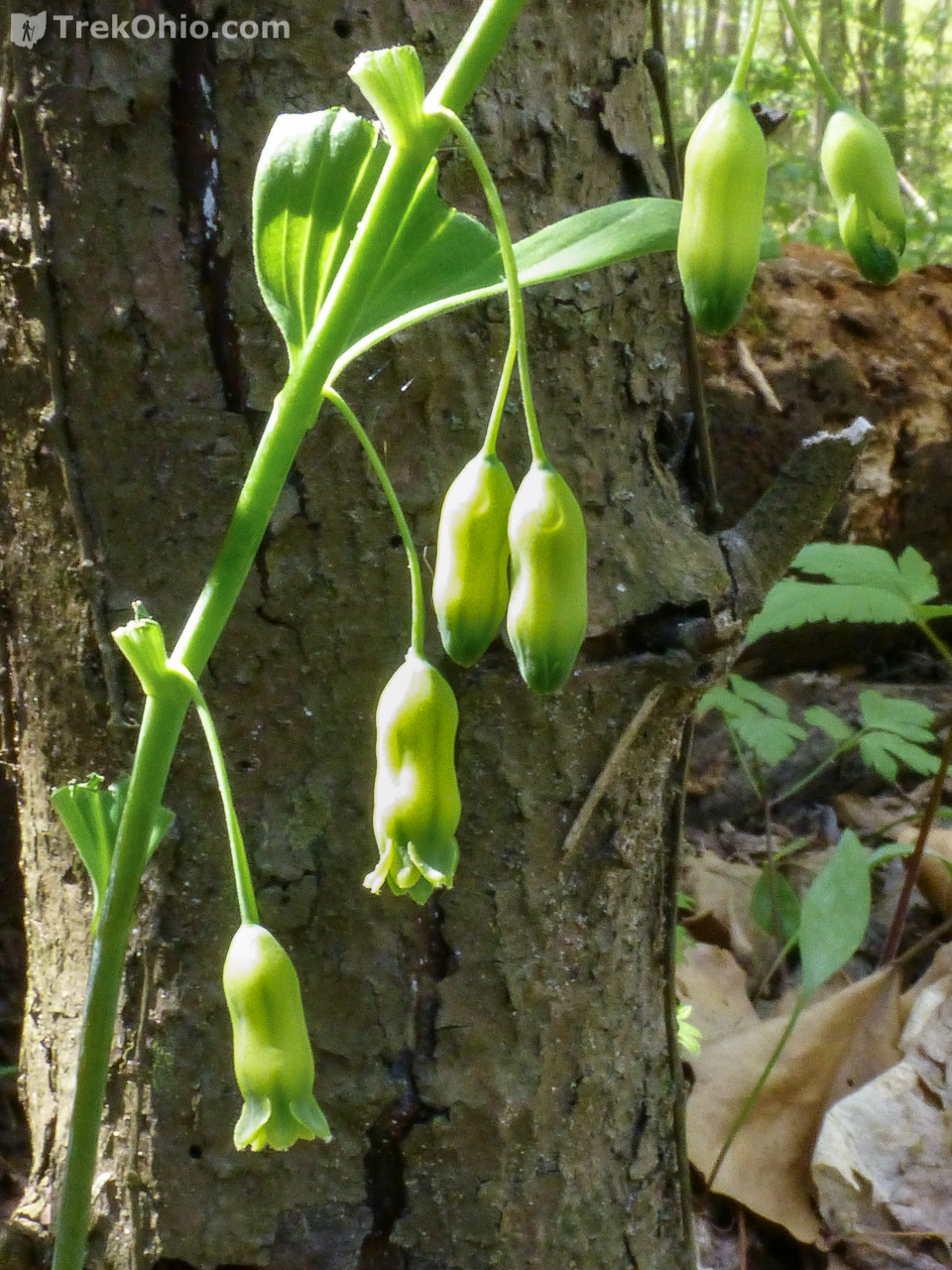
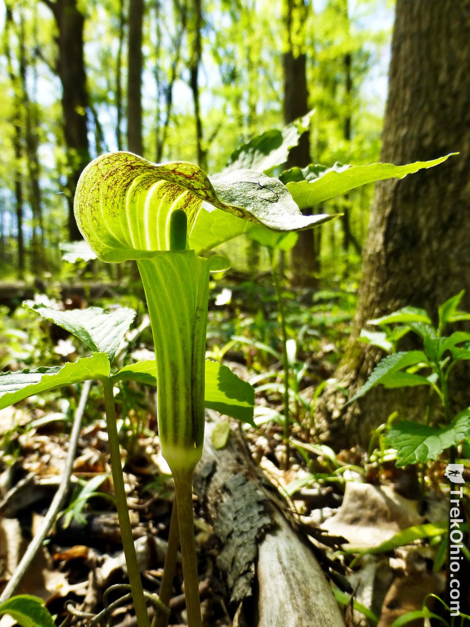
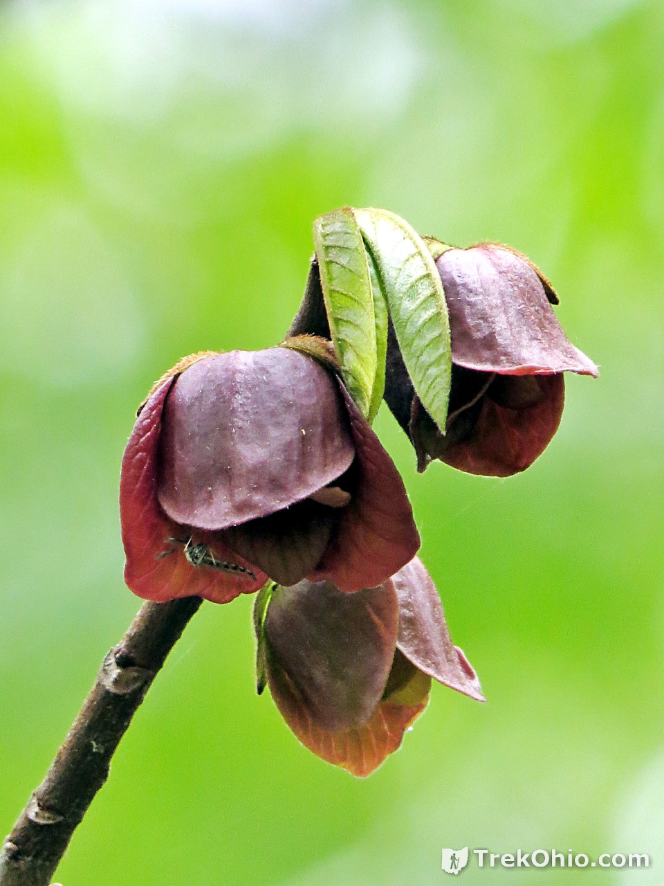
Wildflowers
We visited Goll Woods at the end of the first week of May. This is a fantastic time to observe spring wildflowers. Below is a sample of the many varieties that were blooming during our visit.
The Large-flowered Trillium pictured below is our state wildflower.


Additional information
- TrekOhio: Fulton County Parks & Nature Preserves — Goll Woods is located in Fulton County; check out this page for links to the official website (including trail map) and for information on nearby parks and preserves.
- TrekOhio: Common Spring Wildflowers in Ohio
- TrekOhio: All About Pawpaw (Asimina triloba)
- Wikipedia: Old-growth forest
- Wikipedia: Great Black Swamp — Describes the wetland that once dominated northwest Ohio.
- About The Naturalist Scouts — The Naturalist Scouts is a Venture Crew (3799) under the Boy Scouts. This group seems to be located in NW Ohio. They go camping all over Ohio and Michigan with other forays to distant places such as Colorado. Besides camping the group is dedicated to public service and learning more about the natural world. At Goll Wood the group had posted informational signs identifying a variety of tree species at the preserve.
- The Ohio Association of Garden Clubs
Location
- East Parking Lot
-
- Address: 5800 County Road 26, Archbold, Ohio 43502
- GPS Coordinates: 41.554461, -84.361370
- Google Maps: View on map or get directions
- West Parking Lot
-
- GPS Coordinates: 41.553248, -84.369979
- Google Maps: View on map or get directions
More on State Nature Preserves
 Conkle’s Hollow: The Rim Trail
 Chaparral Prairie State Nature Preserve
 Raven Rock State Nature Preserve
 Lake Katharine State Nature Preserve