In this post we describe a hike that begins at the parking lot that used to service the dining lodge. Initially we follow the Hemlock Bridge Trail. There is an optional hike on a spur trail that leads to Whispering Cave. However, in this post we instead continue on until we reach Hemlock Bridge. After crossing the bridge we follow the Grandma Gatewood Trail to the Old Man’s Cave region. After exploring this area, we retrace our steps back to where we parked. The round-trip hike is 4.2 miles.
Getting Oriented
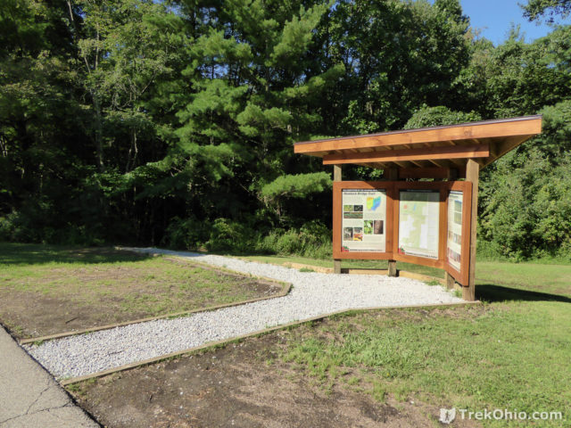
We did this hike in October of last year. The photo below shows the kiosk near the trailhead. The kiosk is located just beyond the parking lot.
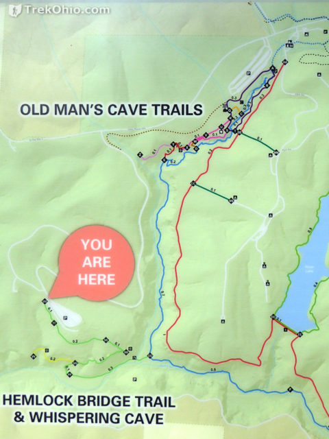
We photographed a trail map on the kiosk and included it below. We began near the “You are here” point and followed the green trail. Then we followed the blue trail northward (to the left).
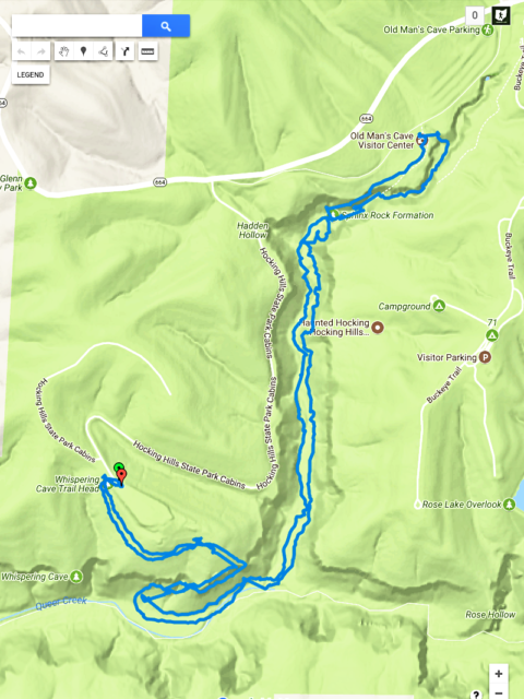
Below is a GPS trace of our hike. The inbound and outbound hike overlap on the same trail, but there is always some degree of error in the GPS trace.
Hemlock Bridge Trail
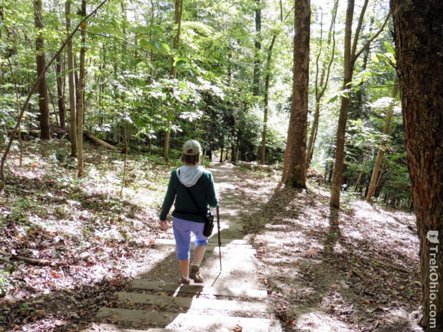
The hike starts out just like our hike to Whispering Cave. The photo below shows the stairs going down toward the gorge.
A bit of the gorge is visible below.
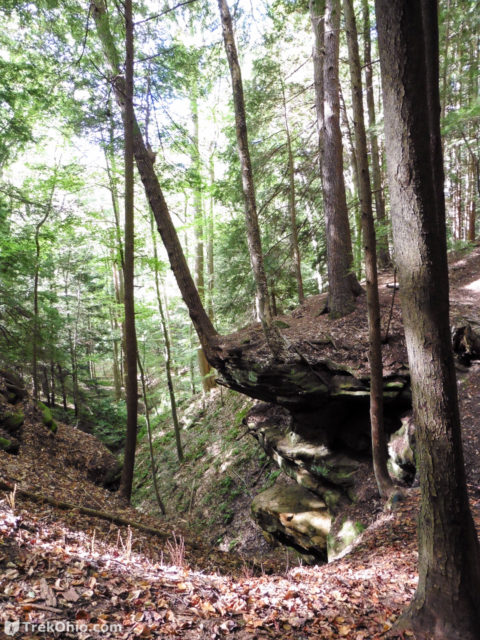
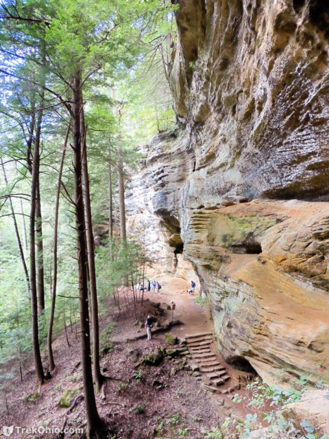
It is a short ways to some impressive cliffs.
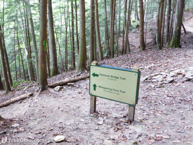
Near the cliffs, you can choose whether you want to go to Whispering Cave, or continue hiking on the Hemlock Bridge Trail and go toward the Grandma Gatewood Trail.
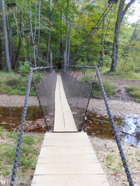
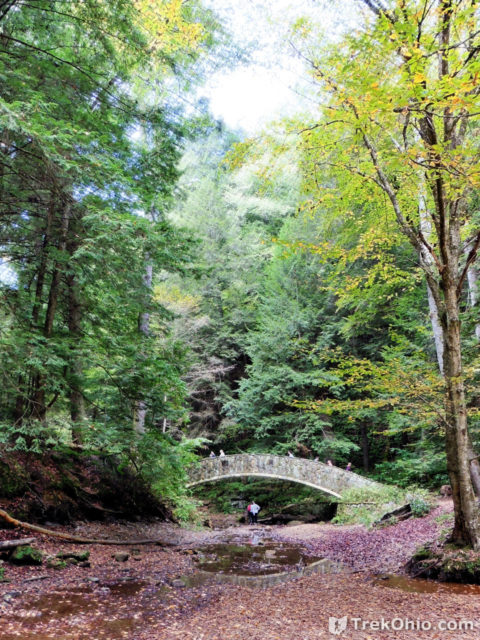
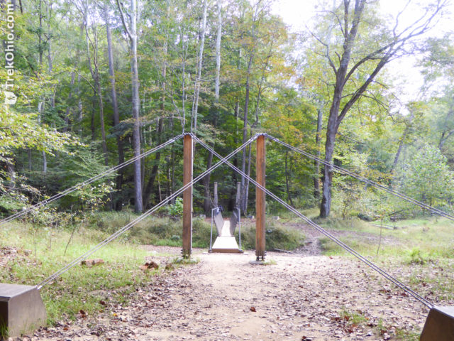
We continued hiking on the Hemlock Bridge Trail until we came to the bridge. The bridge crosses Queer Creek which got that name because it flows in the opposite direction of most creeks/rivers.
The Hemlock Bridge Trail ends at the Grandma Gatewood Trail forming a “T”. We could follow the Grandma Gatewood Trail by going either right or left. Because we wanted to head toward the Old Man’s Cave region, we turned left.
Grandma Gatewood Trail
The Grandmap Gatewood Trail is actually a portion of the Buckeye Trail, and as such it uses blue blazes to mark its way. It is named after Grandma Gatewood, an Ohio native who successfully hiked the Appalachian Trail at age 67, then went back and hiked it two more times which made her the first person to hike the entire length of the trail three times. She hiked the Appalachian Trail for the third time when she was 75, and she retains the record for being the oldest, female thru-hiker.
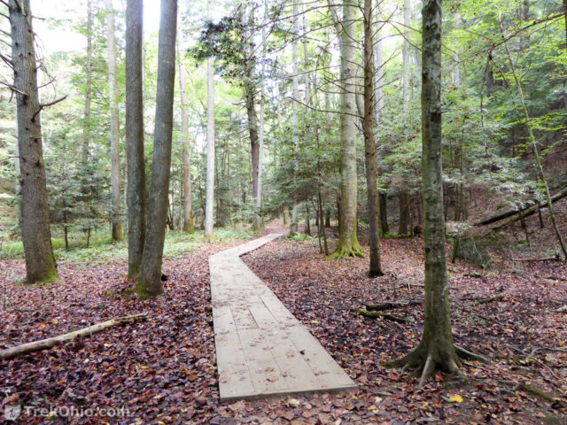
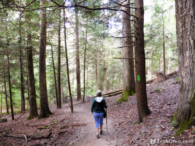
The Grandma Gatewood Trail follows the creek, sometimes quite near it, and other times a bit farther away. Part of the trail has a boardwalk, and there are a number of rocky outcroppings along the way. There are footbridges over some of the feeder streams, and occasionally these wash out.
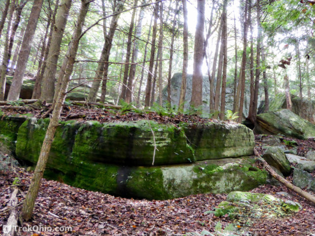
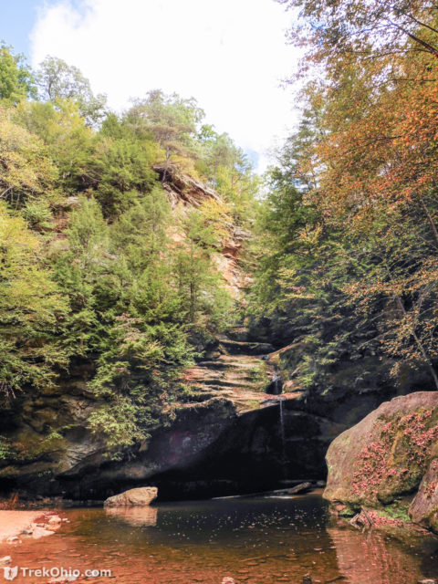
If you have previously hiked in the region of Old Man’s Cave, you will eventually come upon some familiar sights. One of the first such sights is Lower Falls.
There is a staircase leading out of the gorge; it is partly carved into the living rock, while the rest is a metal staircase.
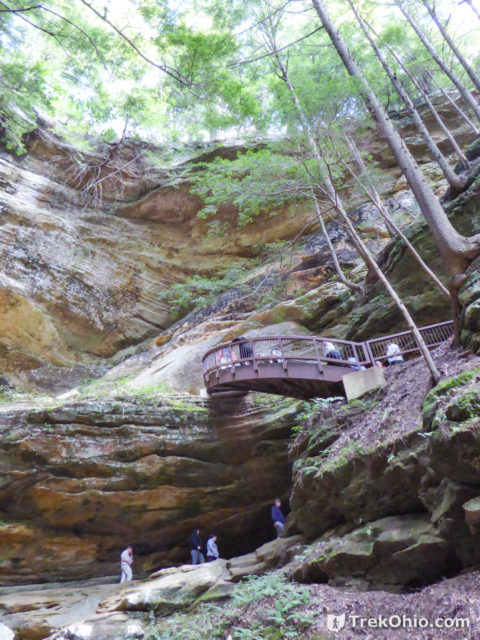
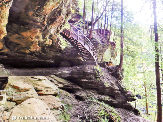
After climbing the stairs we were near the area where the Visitor’s Center is located. We stopped at the concession stand at the Visitor’s Center to buy ice cream cones. After having a snack we descended back into the Gorge and retraced our hike on the Grandma Gatewood Trail toward our starting point. Note that the Visitor’s Center is currently closed because the Ohio Dept. of Natural Resources is building a new and improved one.
Return Trip
Once we were back in the gorge, we hiked under the A-frame bridge which crosses the gorge from rim to rim.
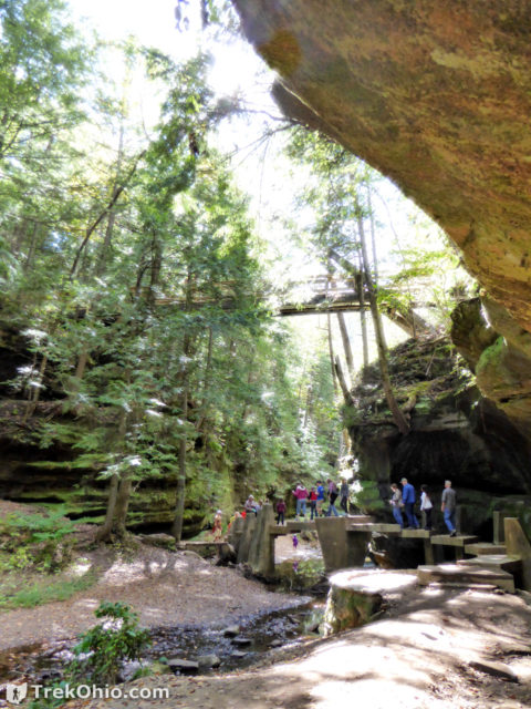
Below is “the Sphynx”. This area is near Old Man’s Cave, but on the opposite side of the gorge.
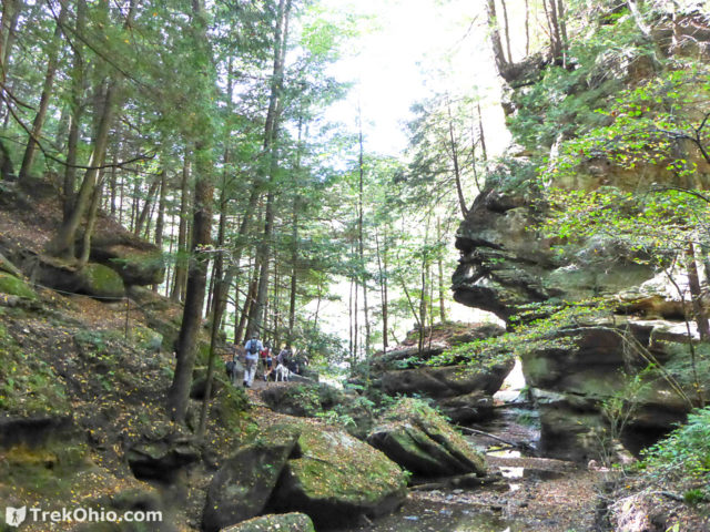
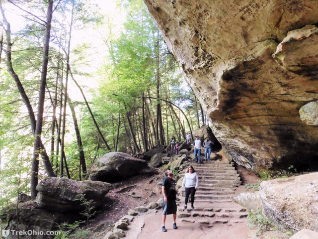
After exploring the region opposite to Old Man’s Cave, we were well on our way.
Additional information
- TrekOhio: Hocking County Parks & Nature Preserves | TrekOhio — This is the county where Hocking Hills State Park is located; check out this page for links to the official website and for information on nearby parks and preserves.
- TrekOhio: Hocking Hills: Overview of the Hiking Trails | TrekOhio
- TrekOhio: Hocking Hills State Park: Whispering Cave
- TrekOhio: Hocking Hills State Park: Old Man’s Cave / Cedar Falls Loop Hike
Location
- Directions: From the Visitor Center at Old Man’s Cave, turn left onto OH-664 and drive for about a mile, then turn left again at the entrance for the Hocking Hills State Park Cabins. Follow that park road to the parking lot; it used to be the parking lot for the dining lodge which has since burned down. The trailhead is at the near end of the parking lot.
- GPS Coordinates: 39.425878, -82.551861
- Google Maps: View on map or get directions
More on Hocking Hills State Park
What is the degree of difficulty on this 4. hike. I went about year ago and it was a bit scary. Has it improved>
Sandi, I could better address your question if you let me know which aspects of the hike seemed a bit scary.
Hi! Just want to report a sighting of a pair of Black Vultures. Location: Louisville KY, Date: March 11, 2018, Time of day: 1PM Activity: They were feeding on the carcass of an opposum on a inner city street in the east/central part of Louisville. The opossum might have been hit by a car at first, not sure. I have a pic, if you would like.
I find it interesting that your GPS route shows rather dramatically its accuracy limitations.
I haven’t made it to the new trails yet (and won’t for a while since I ruptured my Achilles tendon in December), but I really need to. I was also surprised to see your pictures of new metal staircases. (This is what happens when there are so many trails that I don’t revisit them enough.)
One other thing: I don’t believe that bit about Queer Creek running the wrong way. There are plenty of creeks running just like it (Big Pine Creek, for example), and somebody just made up an explanation and it keeps getting repeated until it’s become a myth. I think it has that name for an entirely different reason: https://ahcuah.wordpress.com/2011/05/01/queer-creek/