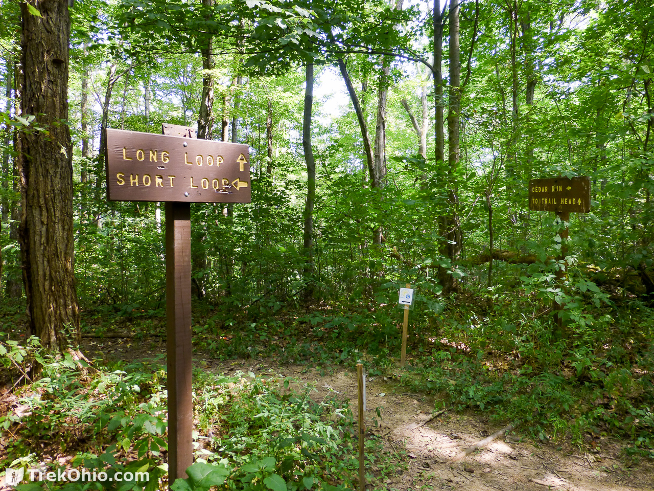
Within the Wildcat Hollow area of the Athens Unit, there is a 15-mile loop trail for backpackers (referred to on signs as the long loop), and a 5-mile loop trail for day hikers (referred to as the short loop). Bob and I have done the short loop hike a couple of times. We went once in the spring, and had a less-than-enjoyable time. The trail was extremely wet and muddy, and I’m referring to a suck-the-hiking-boot-off-of-your-foot kind of muddy. I kept thinking that once we got out of the hollow and onto the ridge, things would improve. But it was pretty much a five-mile slog through the mud.
However, we decided to give it another try when it was drier. So we returned during August of a previous year. The going was much better, and we actually enjoyed ourselves.
Getting Oriented
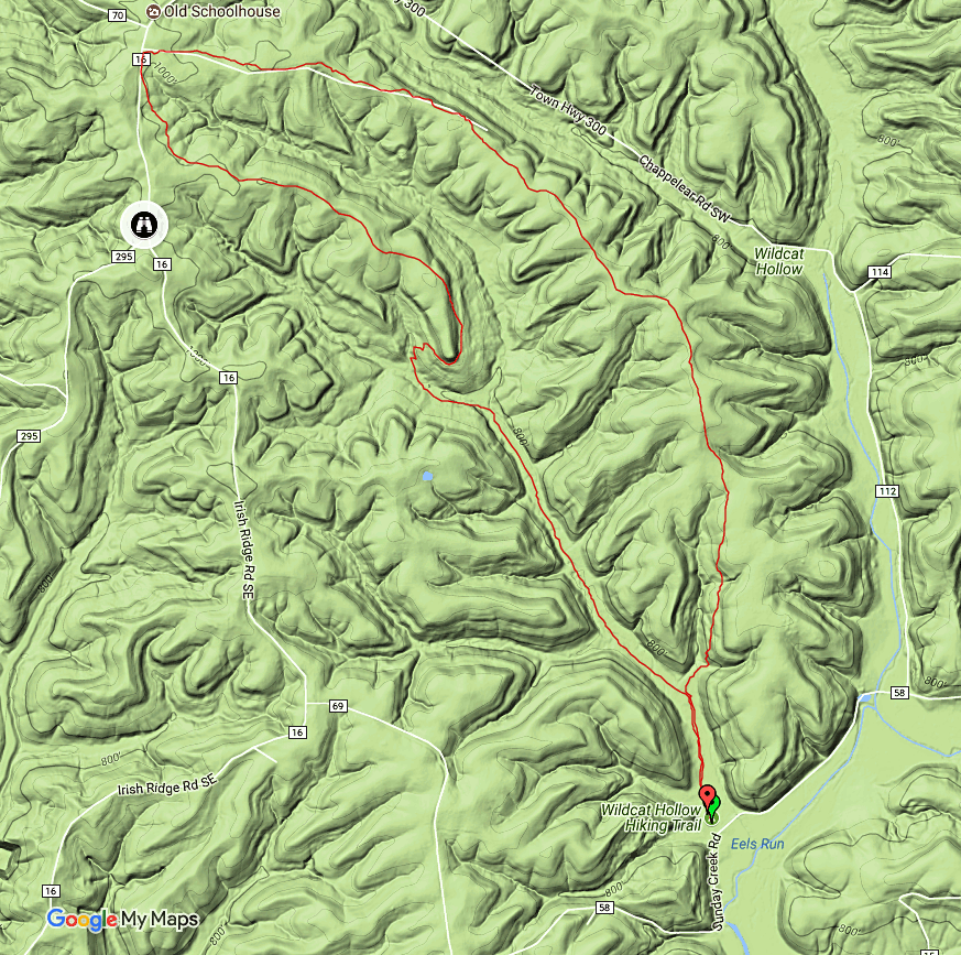
In the map above, the black, binoculars icon marks the location of Monroe Outlook that we wrote up earlier. Also note that on the northernmost edge of the map, there is another map marker saying there is an Old Schoolhouse, but we haven’t checked it out ourselves.
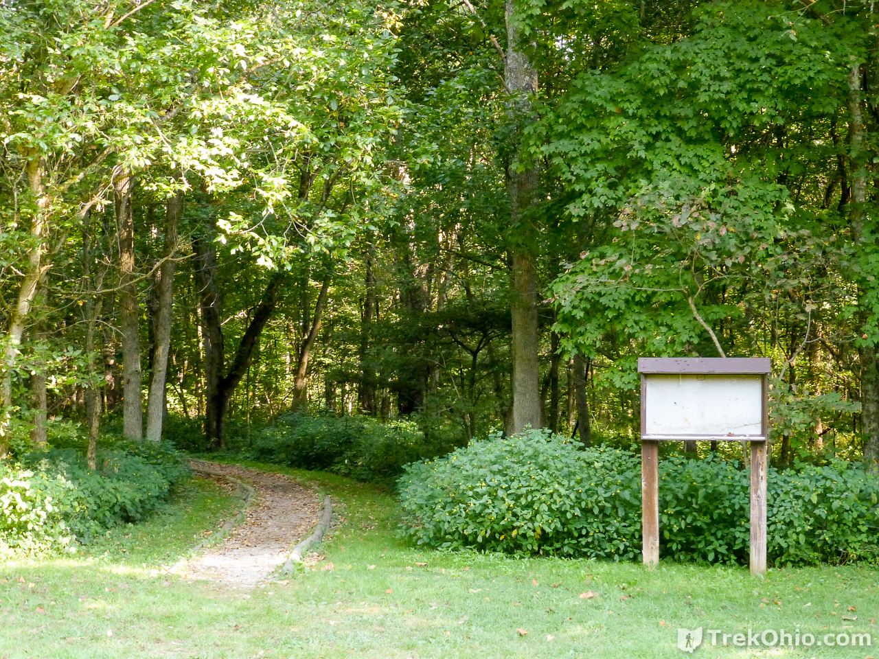
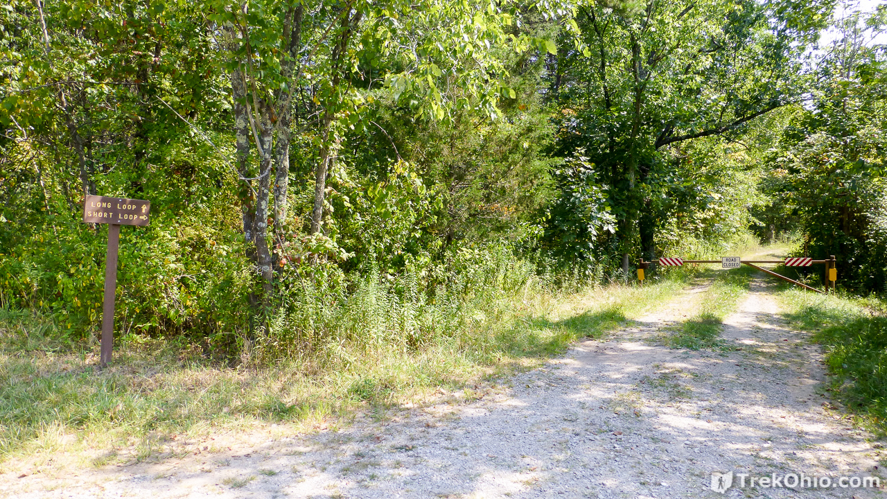
Outbound: Wildcat Hollow Trail
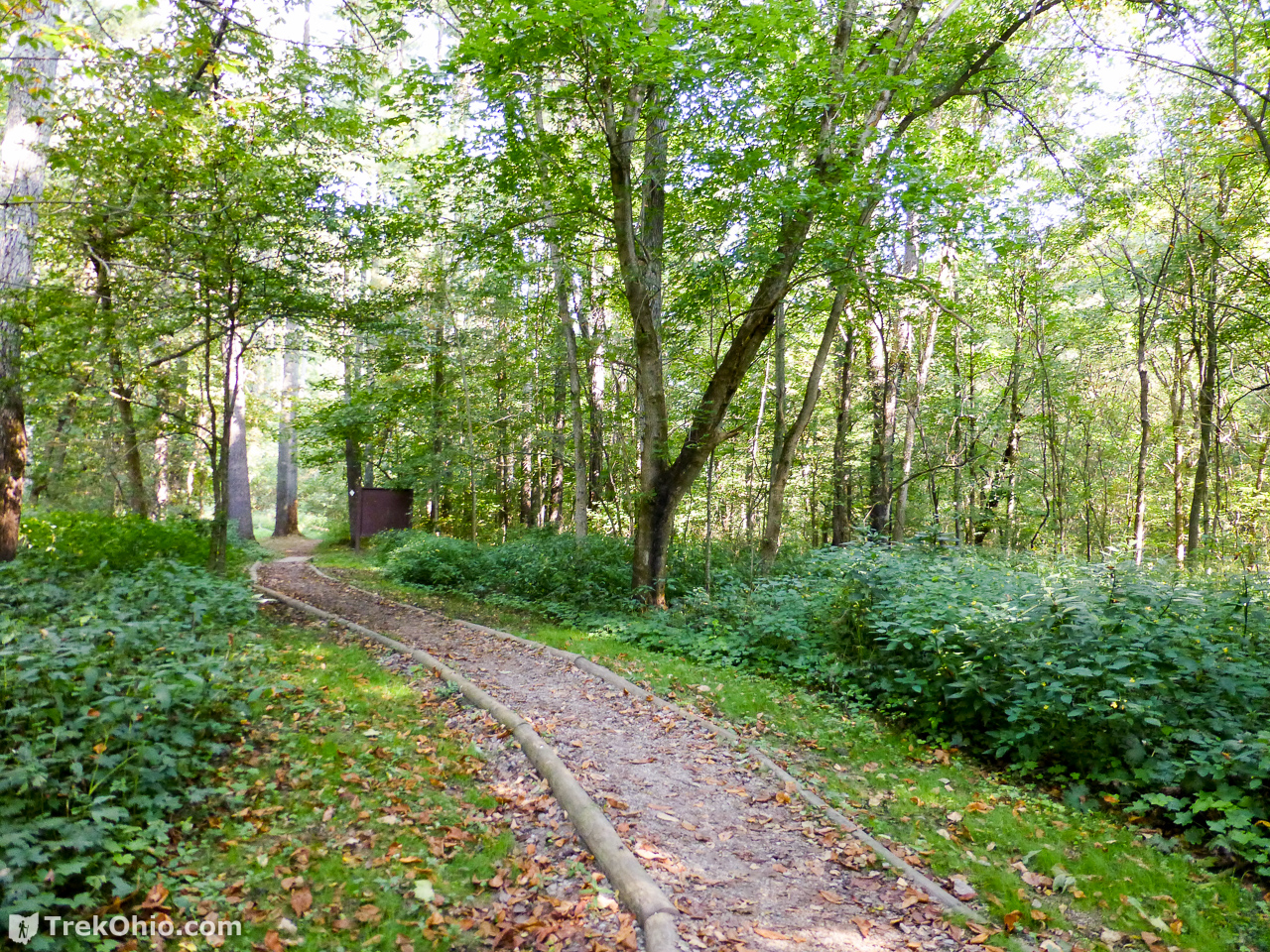


After a little over a mile, we were out of the hollow on on the side of a ridgeline.


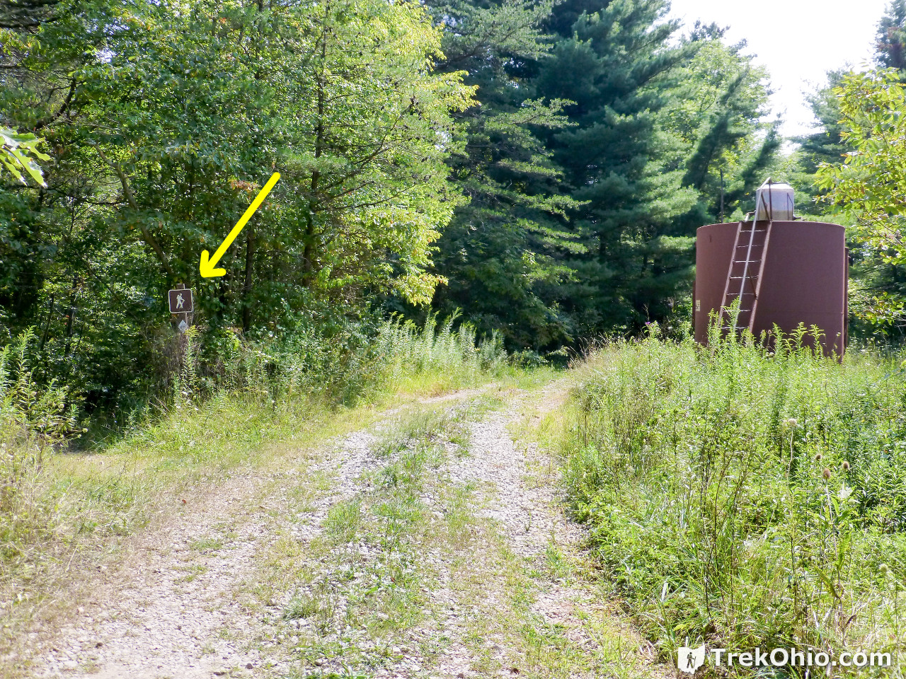
Wildcat Hollow Connector
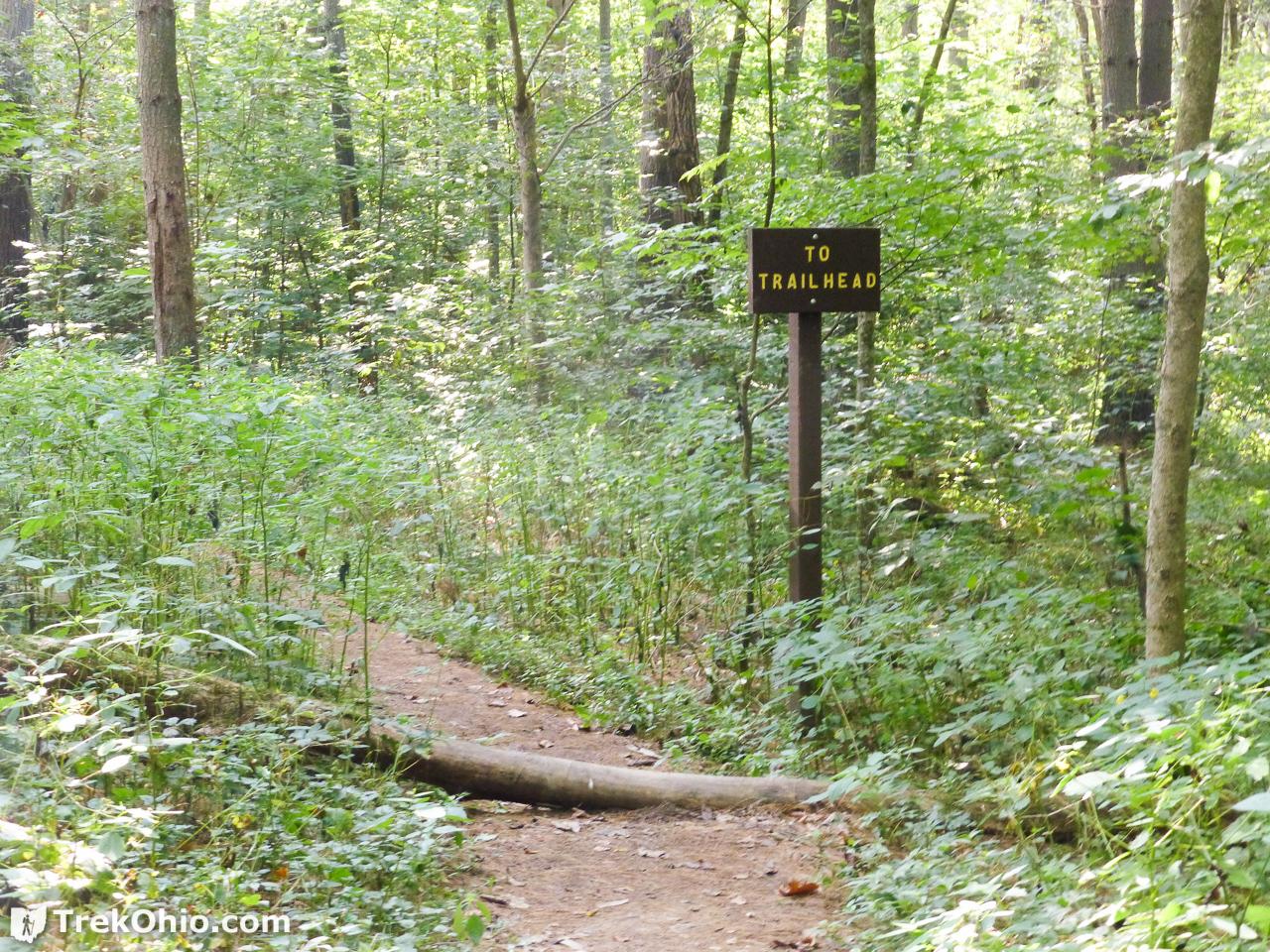
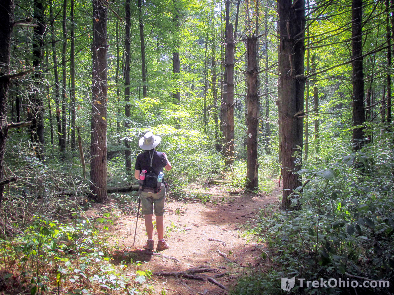
Once you get to Irish Ridge Road, the loop trail turns back south again. For a short ways you will follow a gravel road that is closed to public traffic. About the time that you see a big, brown tank on the right, you will want to veer off the road to the left and follow a dirt trail back into the woods. Even after veering into the woods, there are times when the trail will seem more road-like. But most of the trail is a simple dirt path. Once in a while you might come across a downed tree that you’ll have to scamper over or around.

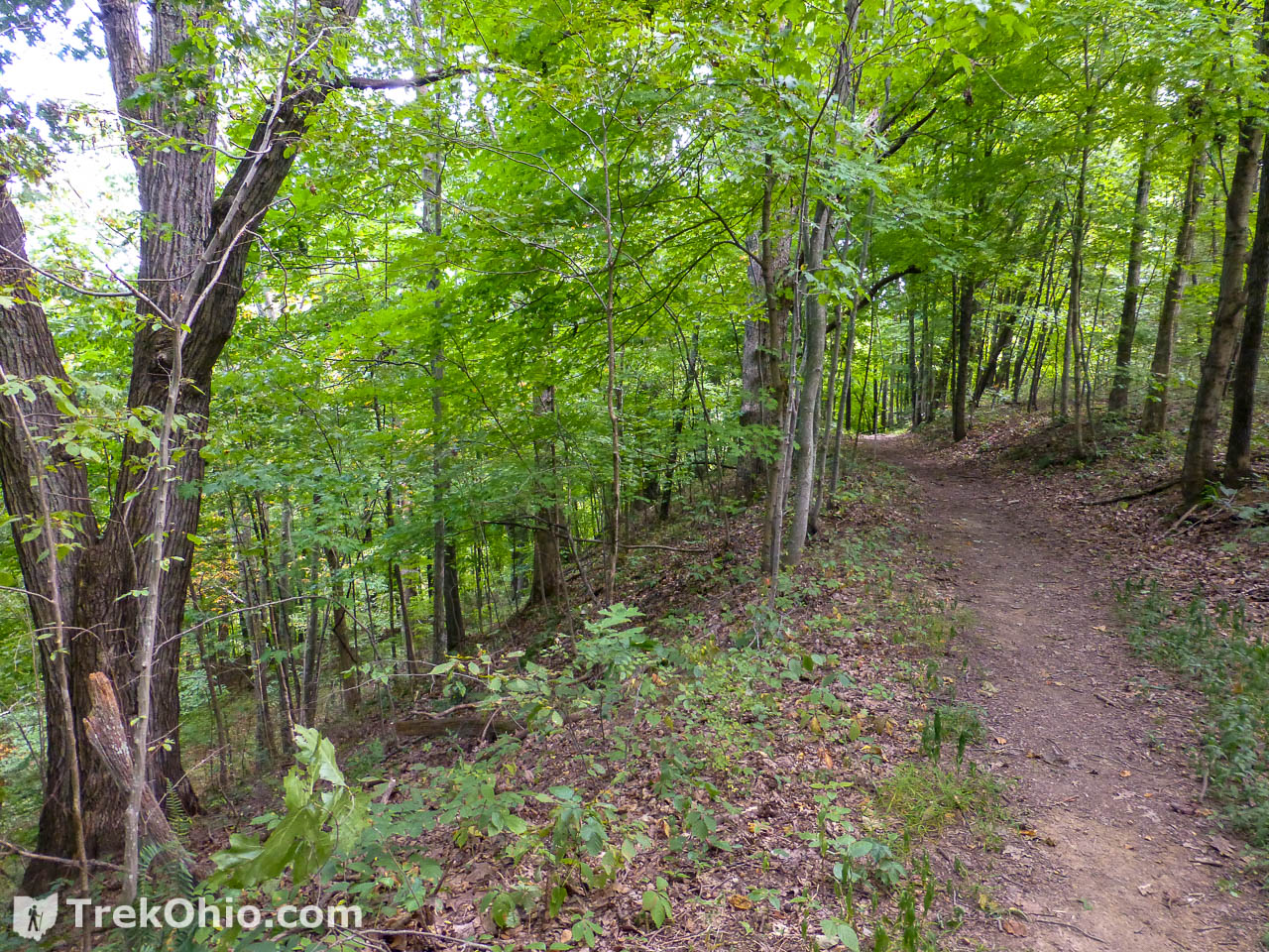
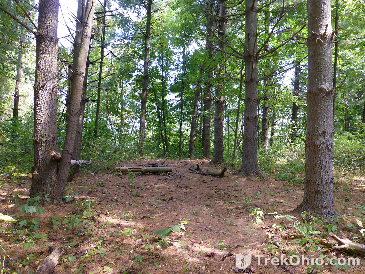
Inbound: Wildcat Hollow Trail
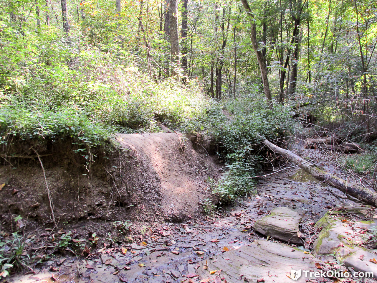
We were now heading south toward the parking lot. Most of this hike is on hillsides. As in the previous leg, once in a while you will come across a clearing that people are using as campsites.


Eye catchers along the trail
While hiking these are just a few of the wildflowers, butterflies, and fungus that we saw on the side of the trail.


Additional information
- TrekOhio: Athens County Parks & Nature Preserves, Morgan County Parks & Nature Preserves and Perry County Parks & Nature Preserves — These are the counties where Wayne National Forest (Athens Unit) is located; check out these pages for links to the official website and for information on nearby parks and preserves.
- Wikipedia: United States National Forest
- TrekOhio: Wayne National Forest (Athens Unit): Monroe Outlook
- TrekOhio: Wayne National Forest (Ironton Unit): Lake Vesuvius
- TrekOhio: Wayne National Forest (Ironton Unit): Morgan Sisters Trail
- TrekOhio: Wayne National Forest (Marietta Unit): Lamping Homestead
- TrekOhio: Wayne National Forest (Marietta Unit): Scenic River Trail
Location
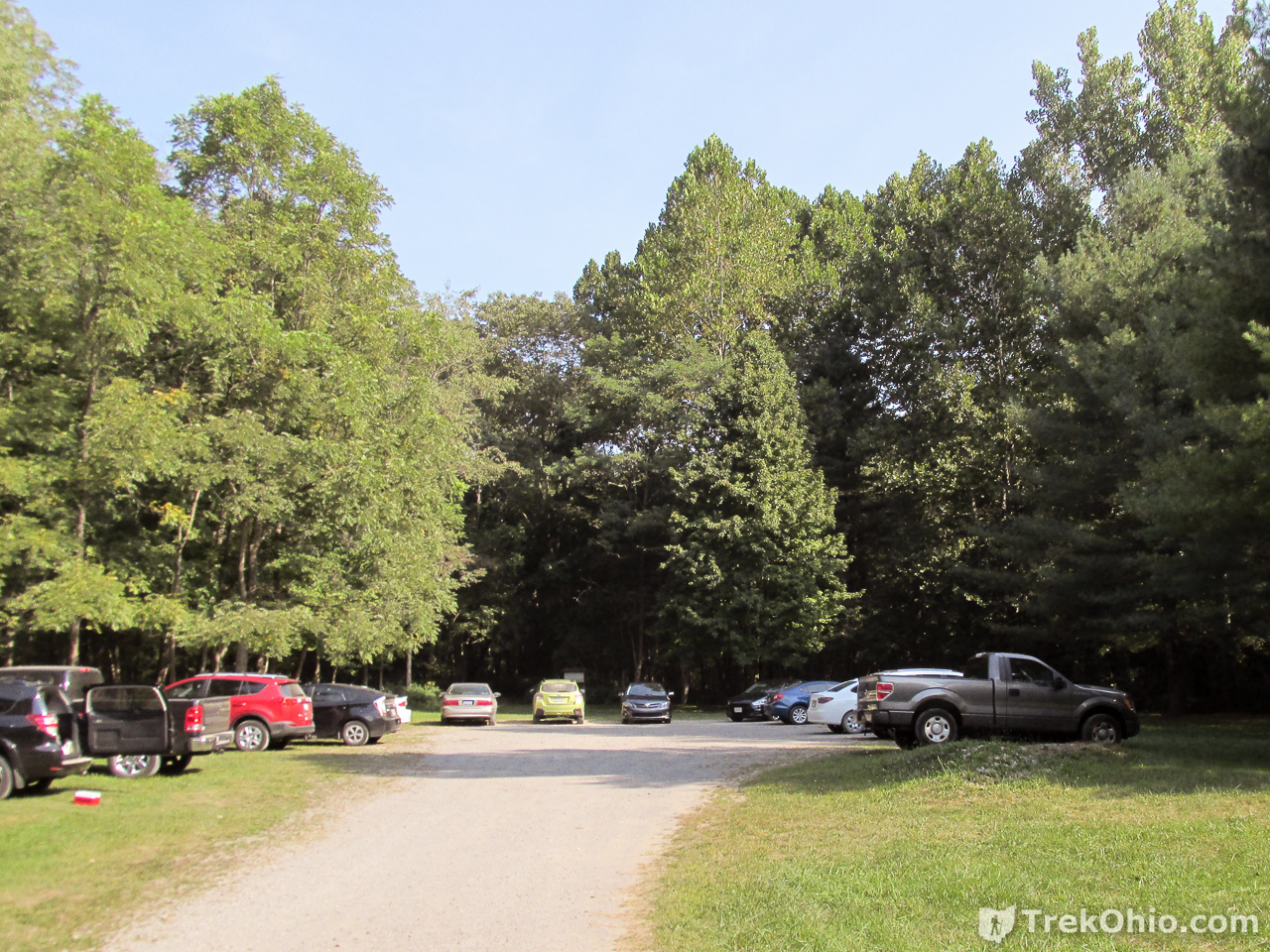
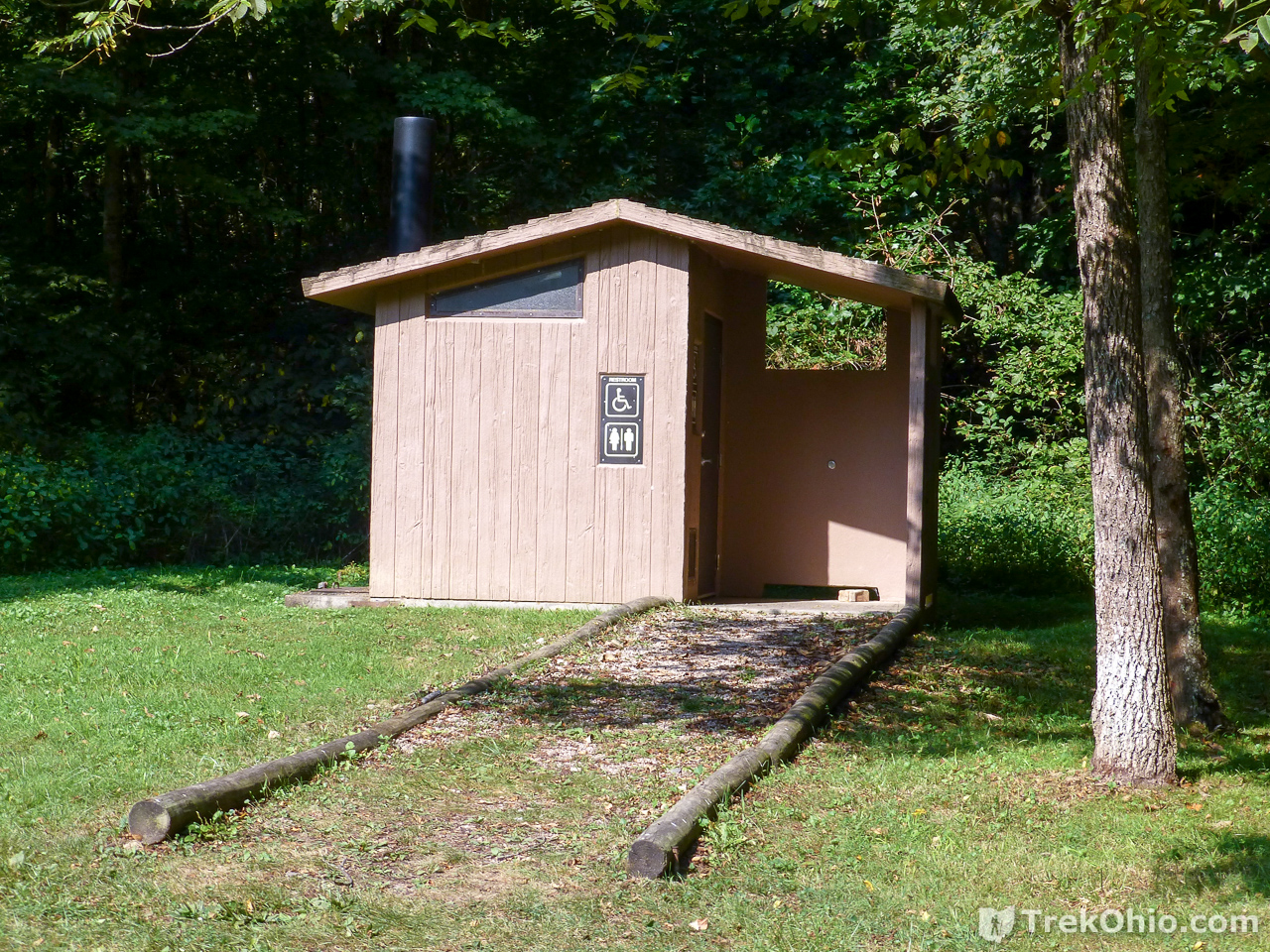
- Wildcat Hollow Hiking Trail:
-
- Address: Co Rd 58, Glouster, Ohio 45732
- GPS Coordinates: 39.5740114, -82.0663771; if you use a smartphone app to navigate to the trailhead, there is a possibility that you will not have any cell service when you have finished the hike and are ready to use the app to navigate home. Our phone service uses both Sprint and T-Mobile, and neither were available for the return trip. So if you do use an app, you might want to cache or download the map before driving to Wildcat Hollow. Google Maps does let you store offline maps, and other apps may do so as well.
- Google Maps: View on map or get directions
- Directions: The trail map for both the short loop and long loop at Wildcat Hollow shows all of the roads in the vicinity. This could be helpful in locating the trailhead (PDF)
- Nearby: Burr Oak State Park is relatively close to Wildcat Hollow. People who are staying at Burr Oak (whether in the lodge, a cabin, or at a campsite) could easily get to Wildcat Hollow if they wanted to do the day hike here.
More on Wayne National Forest
 Wayne National Forest (Ironton Unit): Morgan Sisters Trail
 Wayne National Forest (Athens Unit): Monroe Outlook
 Wayne National Forest (Marietta Unit): Scenic River Trail
 Wayne National Forest (Ironton Unit): Lake Vesuvius