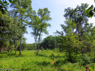
 The Richard and Lucile Durrell Edge of Appalachia Preserve is situated 75 miles south of Cincinnati. The preserve system is managed jointly by the Museum of Cincinnati and the Nature Conservancy. Together its eleven different properties preserve some 16,000 acres of the western edge of the Appalachian Escarpment. Currently four of these properties feature hiking trails. We previously described the Joan Jones Portman Trail. Today we'll describe a hike we took mid-July on the Lynx Prairie Trail.
There Read more ➜
 Edge of Appalachia: Lynx Prairie Trail
 The Richard and Lucile Durrell Edge of Appalachia Preserve is situated 75 miles south of Cincinnati. The preserve system is managed jointly by the Museum of Cincinnati and the Nature Conservancy. Together its eleven different properties preserve some 16,000 acres of the western edge of the Appalachian Escarpment. Currently four of these properties feature hiking trails. We previously described the Joan Jones Portman Trail. Today we'll describe a hike we took mid-July on the Lynx Prairie Trail.
There Read more ➜
 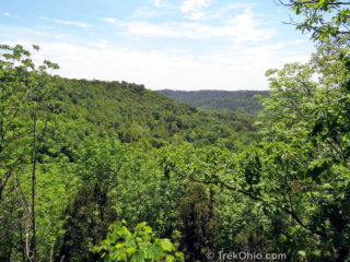 The Edge of Appalachia is a 16,000 acre preserve system in Adams County that's jointly run by the Cincinnati Museum Center and the Nature Conservancy. There are four trails in the preserve that are open the public. The Portman Trail is a great starting pointing for exploring this majestic landscape.
Many visitors to the Edge of Appalachia preserve mistakenly believe that the Eulett Center is a visitor center. However, the Eulett Center is an office complex for researchers and educators.
  Between eight and four thousand years ago what later became Ohio experienced a prolonged drought. This allowed the drought-tolerant plants of the Great Plains to displace Ohio's more typical, water-loving plants. This eastward thrust of the prairie into Ohio has been referred to as a "prairie peninsula." The prairie peninsula encompassed nearly 400 square miles of the Darby Plains in western, central Ohio. Today only 1% of this prairie survives. There are a number of MetroParks in the Columbus and
 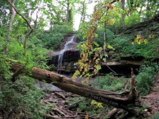 We visited the 1,900 acre Englewood Metropark in the Dayton area during the summer to hike and view three small waterfalls. Englewood is located just northwest of Dayton near Dayton Airport. It is part of Montgomery County's Five Rivers MetroParks. The park is named for the Englewood dam on the Stillwater River which flows through the park. The lake created by the dam is known as the Englewood Recreation Reservoirm.
Englewood offers a variety of recreational activities including fishing,
 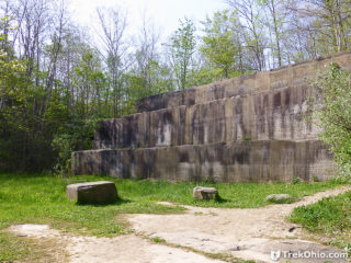 Deep Lock Quarry is part of the Summit County Metro Park system. The park has several historical features of interest: a canal lock, a sandstone quarry, and millstones that were created from the quarried sandstone. Hikers at Deep Lock Quarry can take advantage of two trails in the 73-acre park: the Quarry Trail and the Ohio & Erie Canal Towpath Trail (henceforth referred to as the "Towpath Trail"). Both the Cuyahoga Trail and the Buckeye Trail overlap the Towpath Trail and continue beyond the
 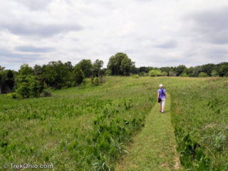 Chaparral Prairie is a 67-acres state nature preserve with a three-quarter mile loop trail. Located in Adams County, it preserves a rare prairie habitat. Prairies are defined by the type of vegetation that grows in them. In general these plants are drought-tolerant, fire-tolerant and shade-intolerant. They originated in America's Great Plains and moved eastward thousands of years ago during a centuries-long drought when this area was warmer than now. However as the climate cooled and normal rain
 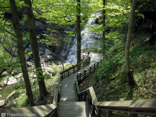 Just prior to our birding trip to Magee Marsh in May, we visited two waterfalls in the Cuyahoga Valley National Park. We stopped at Brandywine Falls - one of the finest waterfalls in the state of Ohio.
Brandywine Falls
The falls is located on Brandywine Creek where it flows over a 65-foot (19.8m) sandstone and shale cliff. For information on the falls history, facilities, and travel directions, please see our prior article.
Blue Hen Falls
After a quick stop at
  Beaver Marsh is located in Cuyahoga Valley National Park near the Cuyahoga River. Years ago it used to be a junkyard with a small stream flowing through it. A local group cleaned up the junkyard in the mid '80's and then some beavers dammed the stream creating the marsh.
The marsh is on a bike / hike towpath through Cuyahoga Valley National Park that extends 110 miles from Cleveland to Akron and beyond. At the marsh, the gravel towpath changes to a boardwalk with small observation
 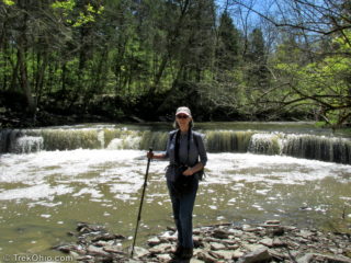 In April we drove to Caesar Creek State Park to visit a new pedestrian suspension bridge and two waterfalls. Our hikes consisted of two segments on the southern portion of the Perimeter Loop Trail. The yellow-blazed Perimeter Loop Trail is an 11.5 mile loop trail on either side of Caesar Creek Lake. The northern and southern routes are connected by a bridge on one end and Caesar Creek Dam on the other.
Our first hike started at the Flat Fork Ridge Recreation Area located on Clarksville
 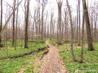 Crall Woods is a 97-acre woodland that's one of two tracts of land making up Pine Hill Park in Ashland County. It was named as a National Natural Landmark by the National Park Service in 1974. According to a sign in the park's kiosk, there are three nature trails at Crall Wood with a total length of 2.45 miles. However, we saw two unlisted trails (one under construction and the other complete) that were not listed on the kiosk. All the trails were wide and well-maintained.
In a recent comment