Cantwell Cliffs is located in the Hocking Hills State Park off of SR 374. Amenities include a parking lot, somewhat primitive rest facilities and two picnic shelter areas.
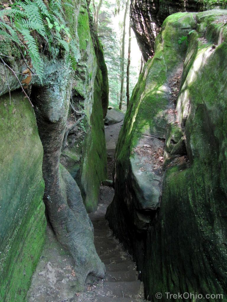
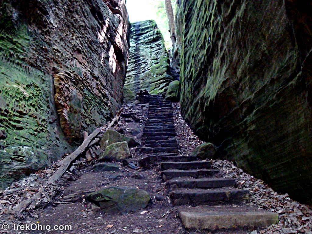
From the parking lot a trail leads down a series of earthen steps to a cliff edge. To the left steps descend through a narrow staircase carved into the rock. To the right a trail continues along the cliff rim. Choose either direction as the trail is a large scenic loop.
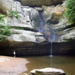
To the right, the trail follows the cliff rim, crossing over a small bridge at the top of a waterfall. Eventually it descends via a series of switchbacks to the base of the cliff near the waterfall.
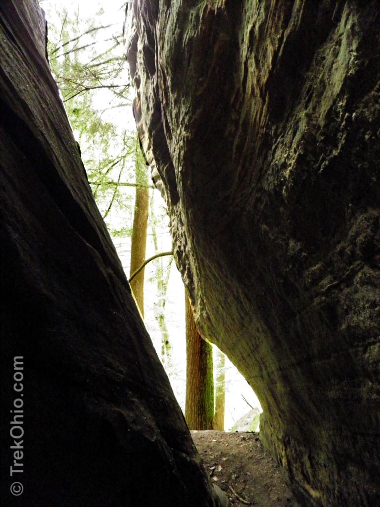
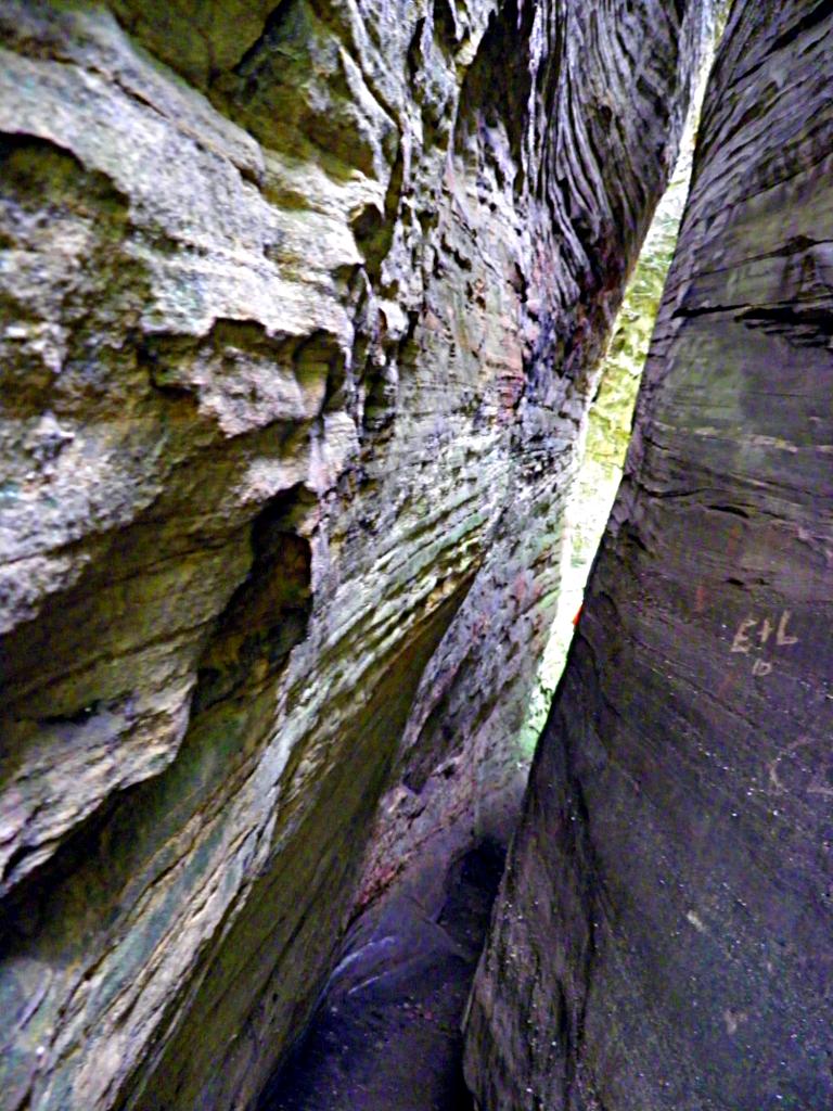
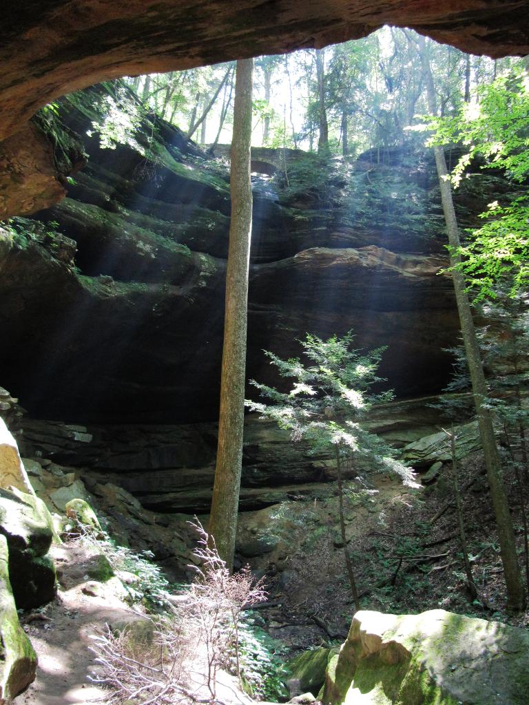
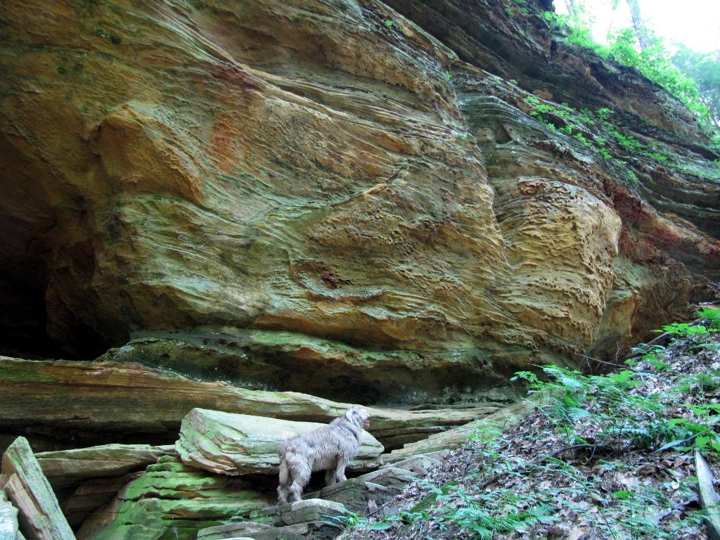
Once at the waterfall, a trail leads along the cliff offering several points to ascend back to the top. Another trail follows along the creek fed by the waterfall and leads to a recess cave, a large slump block, and the stone stairs returning you to the starting point.
A slump block is a large stone section of the cliff that broke off leaving a small gap. You can walk through this narrow gap which bears the name “Fat Woman’s Squeeze”. From experience I can tell you it’s a squeeze for guys too. 😀 I had to remove my daypack to negotiate it.

Cantwell Cliffs is a very scenic hike but a short one, and can be easily combined with other area hikes in the course of a day’s outing (such as the nearby Clear Creek Metro Park).
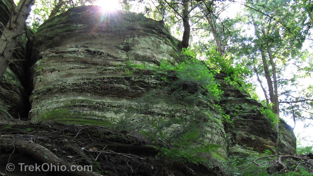
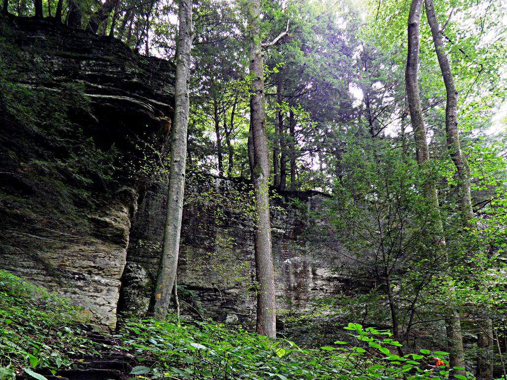
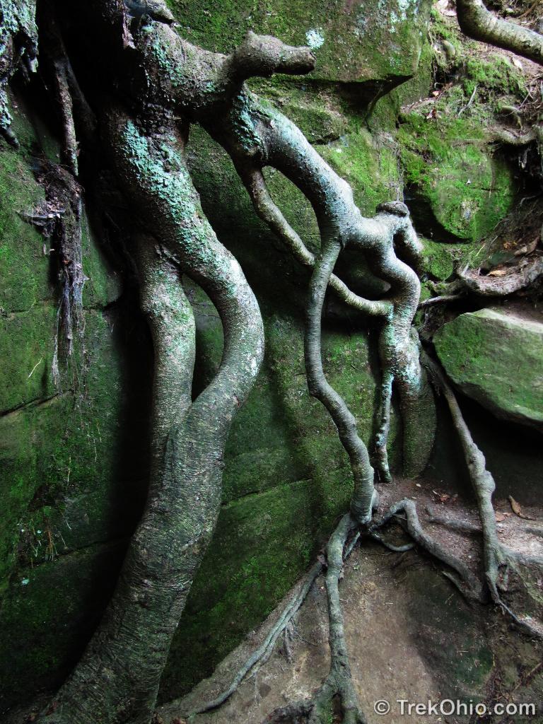
Here’s a few photos from other sites along the trail.

Additional Information
- TrekOhio: Overview of Hiking Trails in the Hocking Hills
- TrekOhio: Hocking County Parks and Preserves
Location
- Directions: At the intersection of US-33 and OH-374, go west on OH-374 for about 6 miles. The driveway for the parking lot will be on your right.
- GPS Coordinates: 39.539762, -82.5770072
- Google Maps: View on map or get directions
Although the trail isn’t long, because of the climb up and down it can be strenuous. Many people choose to just go down that initial stairs, come back up, and call it a day.
More on Hocking Hills State Park
 Hocking Hills State Park: Cedar Falls
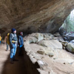 50th Annual Hocking Hills Winter Hike, January 2015
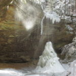 The Hocking Hills at Winter’s End
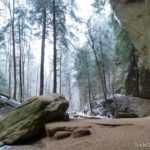 Hocking Hills State Park: Ash Cave
Wow. That’s a place where I would like to hike. Thank You very much for this lovely set of photos.
I wish you could see it. It is one of my favorite places. All of the interesting terrain features were created during the last ice age.
The sunbeams reaching into a recess cave are lovely. What an inspiring place. Well… except for the Fat Woman’s Squeeze 😉
Thank you, Amy-Lynn. As a somewhat overweight, middle-aged woman I was heartened to be able to squeeze through the Fat Woman’s Squeeze, so at least I have that going for me.
Actually my current header image is photo taken from the cliff rim looking down. I love this place.