Two months ago we visited the site of a former coal strip-mine in eastern Ohio. The area was the site of a massive surface mine that supplied 110 million tons of coal for electric power generation in the region. Big Muskie — one of the largest earth-moving machines in the world — operated in this area. The bucket of this leviathan was large enough to hold two full size buses.
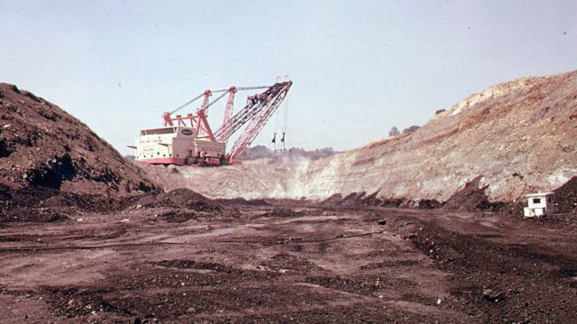
Mining operations involved removal of all surface vegetation, topsoil, and the earth overlying the coal deposits. Towards the end of the 20th century demand for the brown, high-sulfur coal produced by the mine waned. The mine was closed down and the process of restoration was begun.
At this point the land was owned by American Electric Power. They were responsible for restoring the landscape of the closed surface mine. Some of the land was transformed into acres of lakes and prairie, after which it was donated to a non-profit group as a wildlife conservation refuge. This area became known as “The Wilds”. Where earth-moving equipment formerly dug coal, rhinoceroses and zebras now roam across a vast prairie. We visited “The Wilds” in October and wrote about it here.
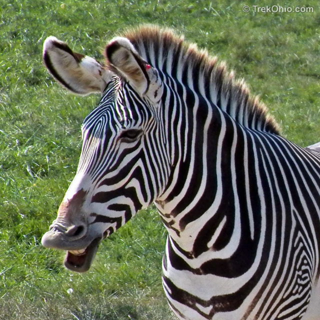
An area eventually encompassing 60,000 acres was designated ReCreation Land and restored with the intent of making it available to the public for outdoor recreational activities. AEP restored earth and topsoil at the site, planted 63 million trees, and created — then stocked — 350 lakes and ponds. They worked with groups including the Buckeye Trail Association to establish many miles of hiking trails, mountain bike trails, and equestrian trails. Camping areas with a total of 380 camp sites were built. The huge bucket of the Big Muskie earth mover found its final resting place at the Miner’s Memorial Park located within ReCreation Land.
All this sounded great, but we really didn’t know what to expect prior to our visit. Would we find a vast plain of knee-high trees all planted in straight rows?
Prior to leaving home, we reviewed maps of the site. The Buckeye Trail is a 1,200 mile trail that loops around the state. This blue-blazed trail is primarily used by day hikers, with its most popular segment passing through Hocking State Park. AEP ReCreation Land features a 26 mile segment of the Buckeye Trail. We decided to start our hike from one of the camp sites that was designated campground ‘H’ on the map.
We drove east from Columbus headed for ReCreation Land taking Interstate 70. Past Zanesville, we left I-70 and headed south following directions of our GPS. Eventually we came to a sign indicating the entrance to ReCreation Land. It was many miles from the edge of the site to campground ‘H’. The roads were a mix of paved and gravel road. We drove past hills, fields of tall grasses, lakes, streams, and forest, finally arriving at a camping area with a large sign labeled, Wood Grove Campground (H).
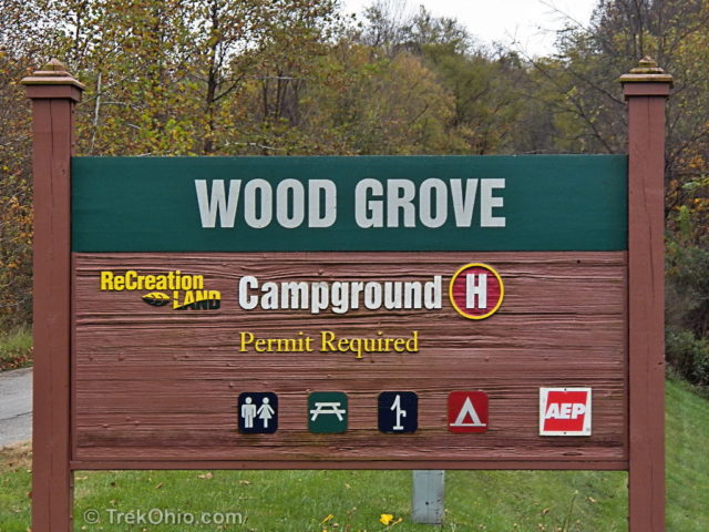
The campground features numerous sites with picnic tables, and car pull-offs. It is located at the base of a large hill, with a stream on the other side. Drinking water, an information kiosk, and latrines are located in the campground.
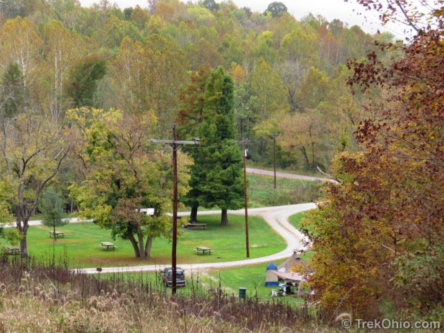
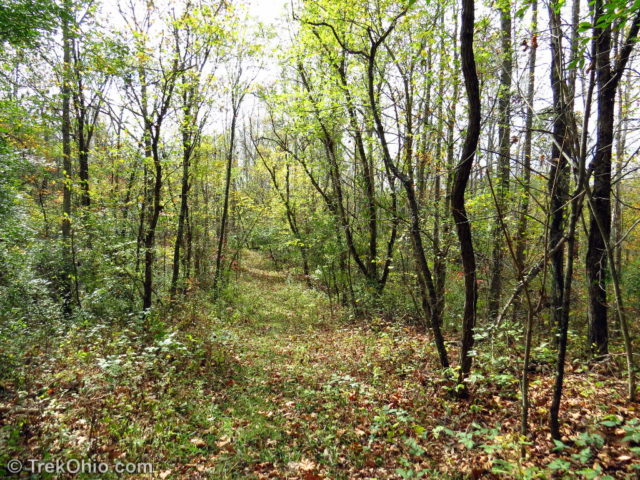
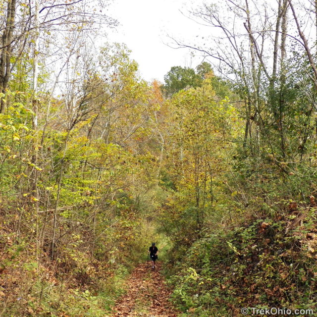
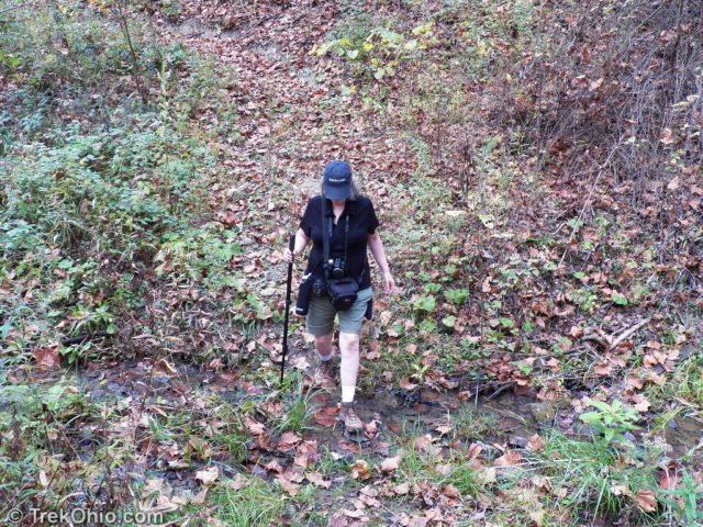
There were a number of people staying in the campground with both RV’s and tents. We inquired as to the location of the trailhead. We were told to follow the road up to the top of the hill. The Buckeye trail crossed the road, with labeled trailheads on either side. We followed the trail segment to the south. We could see a kiosk further up the road for the trail leading north. The trail to the south followed an old unpaved access road for a little over a mile. Around us was a young forest. Since it was mid-October, many of the trees had shed their leaves or were in the process of doing so. We past a couple of ponds and then the trail turned off the access road. We crossed small streams, passed sycamore-edged ponds, and went up and down hills.
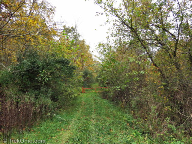
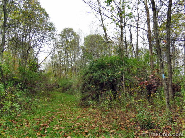
Although the trail began as a mown path, later on it’s kind of overgrown and weedy.
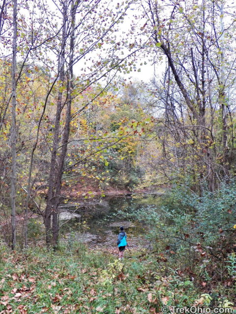
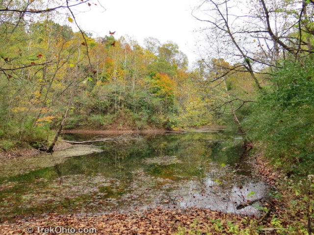
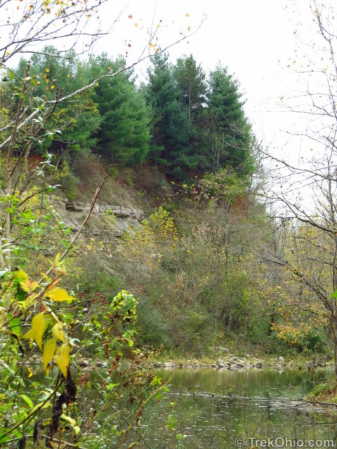
Another side trail about 2.5 miles into our hike lead to the lake shown below. Instead of erosion forming the cliffs at the lake’s edge, these cliffs were created by earth-moving equipment.
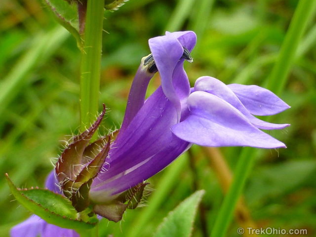
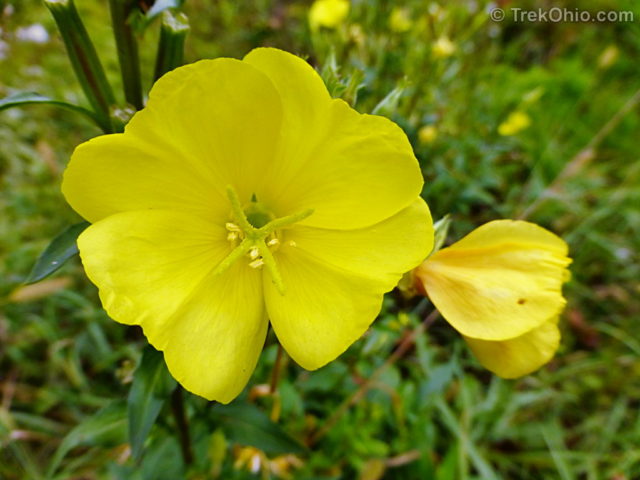
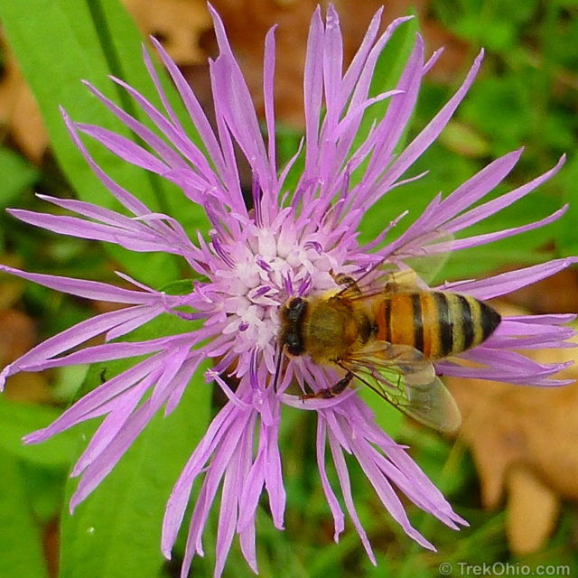
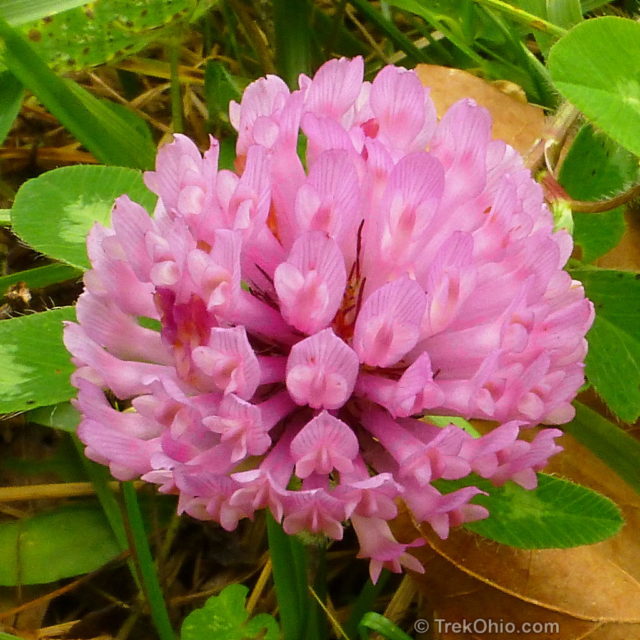
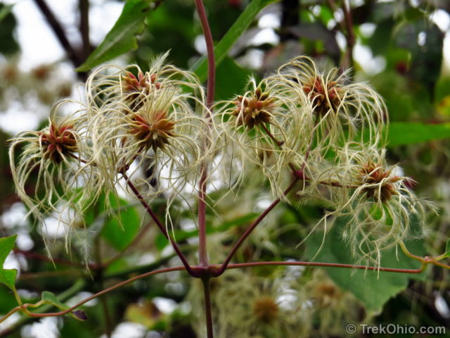
At this point we turned around and retraced our route back to the campground for a round trip of slightly over 5 miles. In October there are still some wildflowers to be seen while hiking like those below.

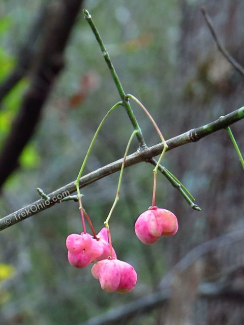
We also saw some fruit and seeds.
Elsewhere there are mountain bike and equestrian trails, as well as many additional campgrounds. Hunting and fishing (with valid state permits) are permitted. I’ve seen some very positive reviews of fishing at ReCreation Land. With 350 lakes and ponds as well as streams, there is ample opportunity to fishing. Some fishing spots may require a bit of a hike to reach. Dogs on a leash are permitted on the trails and at the campgrounds.
Camping is free and sites are available on a first come, first served basis. It appeared that there was an on-site manager at the campground. To visit ReCreation Land, you will need to get a free permit from AEP. This is a simple matter of downloading the permit from here. Read it, print it, sign it, and carry it with you.
Additional information
- AEP: Recreation Land web site
- AEP: Map of AEP ReCreation Land
- AEP: Map of Campgrounds
- AEP: Addresses of Campgrounds
- AEP: Map of Equestrian areas – with 30 miles of horse trails
- AEP: Events Calendar
- TrekOhio: AEP ReCreation Land is so large that it is found in the following counties: Guernsey, Morgan, Muskingum, and Noble. Check out any of these pages for official links and for information on nearby parks and preserves.
- YouTube: Big Muskie in action (video)
Location
Wood Grove Campground ‘H’ address: 8605 Wood Grove Road, McConnelsville, Ohio 43756
Geo-location: 39° 43.260′, -81° 40.218′
See above for addresses of other ReCreation Land campgrounds.
More on Ohio's Industrial History
I’ve never been to this area but I’ve heard so many positive comments about it. It makes me proud to know that a reclaimed area is being appreciated. On my bucket list is now a photo of me standing in the bucket of the Big Muskie and also a trip through the Wilds. I’m a retired ODNR coal mine reclamation inspector from southern Ohio and I’m a very proud of some of the reclamation that has been done in our area of he State of Ohio. One of our reclaimed mine areas done by AEP is the reclamation if the belt line that went from their wash plant for several mile to the Ohio River. It is now a very well used horse trail.
It must have been interesting to see the transition from empty strip mine to brand new forest. It sounds like very rewarding work with a tangible result you can point to. As an IT person (my day job) I’m envious.
(Bob, not Deb. Sorry!) 🙂
Most of our articles are actually a collaboration. We take turns with one of us writing and the other editing. We both take photos (Deb is the better photographer) and Deb does the photo post-processing.
Interesting read, Deb. I took a module on restoration ecology during my MSc and this would make for an interesting case study. I can imagine that research will continue for years, as the forest ages and gradually provides habitat again for the more sensitive species.
Ohio has gone through cycles of deforestation / reforestation, so except for a few small areas, most forest in Ohio is relatively young. Very different from the redwood forest of California or the temperate rain forest of the Olympic peninsula. One of these days I’ll have to do an article on deforestation / reforestation in Ohio.