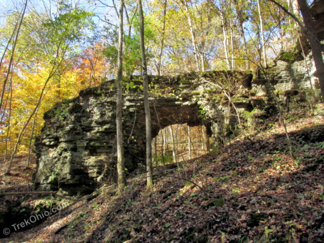
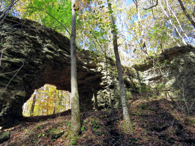
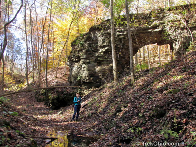
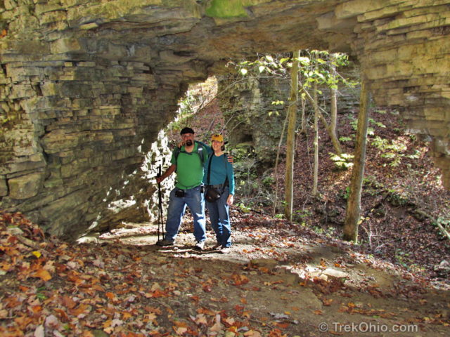
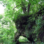
Trimmer Arch is a classic, round-topped arch, the best such specimen in Ohio. It’s located in Ross County within the Paint Creek Lake Wildlife Area. The interior opening of the arch spans 14 ft. (4.6 m) and rises 8.6 ft (2.6 m). Trimmer arch formed within a narrow outcropping that extends into a U-shaped ravine bounded by two streams. The rock itself is Greenfield Dolomite, a type of sedimentary rock that forms horizontal bedding planes one atop another like a stack of pancakes. Due the the thinness of these bedding planes and the narrowness of the outcropping, the rock eroded away creating the arch that we see today.
The trip to the arch was quite the adventure for Bob and myself. This was the first time that we tried to reach a specific point in a forest without relying on trails. Typical recreational use of Ohio’s wildlife areas includes hunting, fishing, and trapping, but not hiking, so trails are usually not present. To reach our destination we brought a variety of electronic gear, so we could locate the published GPS coordinates for the arch. As a backup, we also brought spare charging units for our GPS devices, plus a paper map and compass in case all of our technology failed us.
Getting there
From Greenfield, Ohio, take Wolfe Rd. south to OH-138 South. Continue Straight onto Thrifton Rd. Thrifton Rd. turns slightly right and becomes Rapid Forge Rd. Turn right onto Weller Lane and proceed to the end of this dead-end road where there is a parking area for visitors to the Paint Creek Wildlife Area.
I’ve included a GPS trace of most of our hike below. We parked at the northern-most, green marker which really was at the end of Weller Lane despite the fact that the map shows it extending beyond where we parked (the parking area was at N 39.294853, W 83.372753). The far, southwest point of the trace is where Trimmer Arch is located (N 39° 17.678, W 083° 22.369). The trace ends at the southern, red marker because of a technical failure. I had opened the app to check our progress, and at that point the app stopped recording our hike.
GPS Navigation
As the crow flies, the arch is a mere half-mile from the parking area. However it is impossible to hike straight to the arch. Due to undergrowth and ravines, we had to wander back and forth a bit. So when we finally arrived at the arch it was nearly a mile from our starting point.
To find the arch, we used an Android app, GPS Navigation Compass, by SplashPad Mobile. We had never used it before, so we didn’t know how it would work out. I had it installed on my cellphone, while Bob brought along a handheld Magellan Explorist 310 GPS device. About three-quarters of the way through our round-trip hike, my battery had drained to be 15% of its capacity, at which point I plugged the phone into a portable charger.
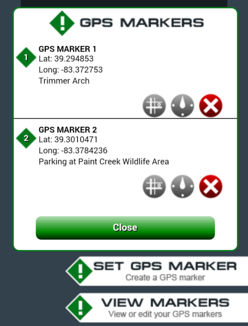
To use the app, I entered and labeled two GPS markers as seen below. It’s important to mark your starting point, so you can find your way back to your car.
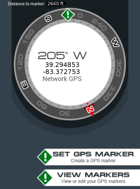
To find your destination, you look at the compass below. The direction that you are facing is at the top. The direction that you should be going is indicated by the green diamond with an exclamation mark in it. In this case, it is telling me to go straight ahead.
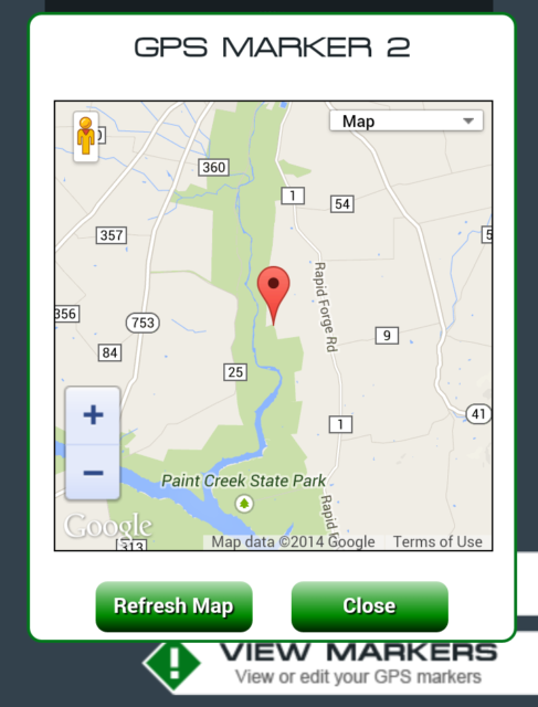
From the GPS Marker window, it is also possible to bring up three types of map:
- Plain, flat map
- Terrain map
- Satellite map
I have thumbnails of these maps below. If you’d like to see a larger image, click on the thumbnail.
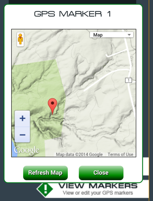
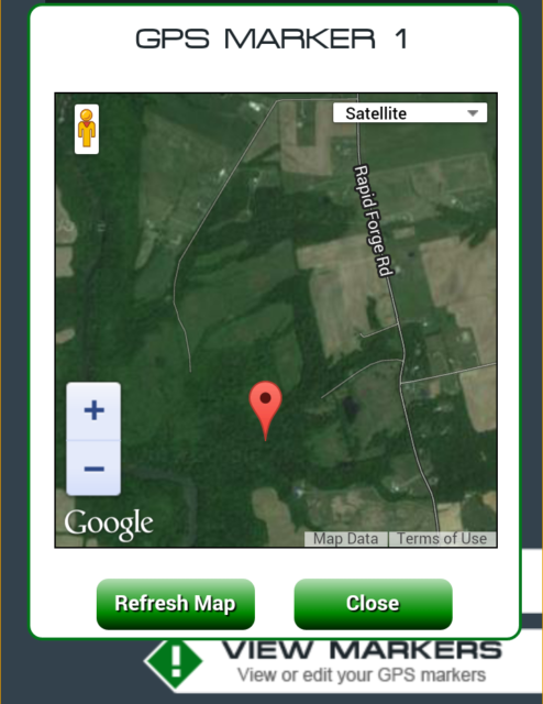
An app that uses less battery would be have been really nice. Since this is the only geocaching app that we’ve tried, if anyone wants to recommend something else, we’d love to hear from you.
The Hike
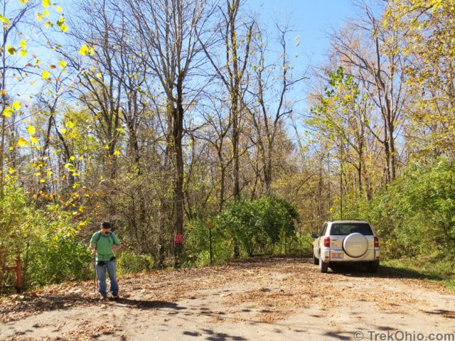
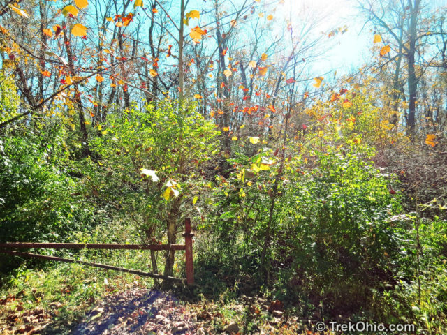
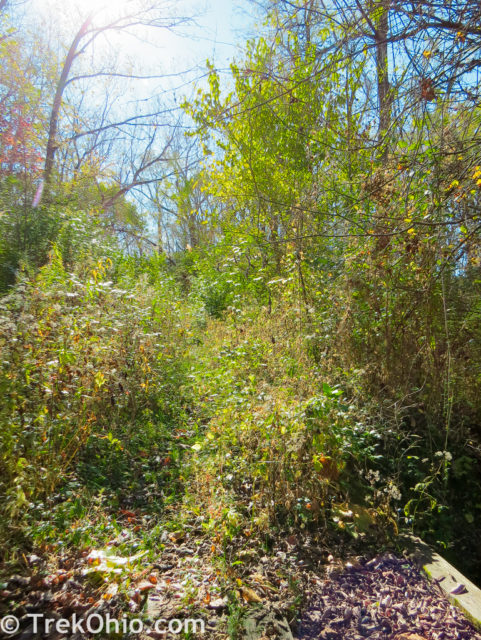
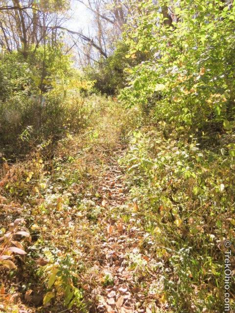
From the end of Weller Lane, you want to head toward the red gate that’s partially showing to the left in the photo below. Although there is no trail, there is a beaten path of sorts at this point. In addition there is a bridge that helps you to cross the first stream bed (this is the only bridge that we encountered).
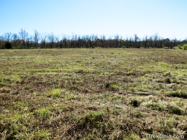
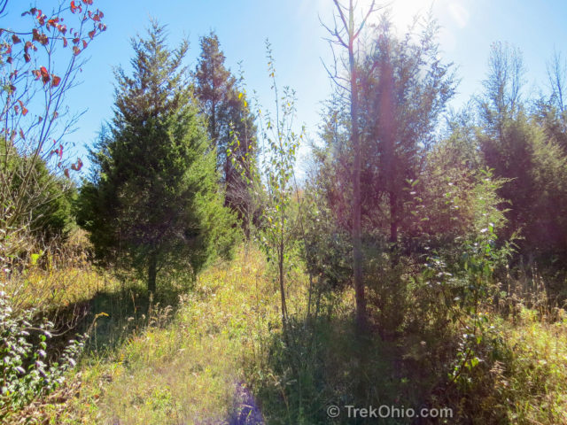
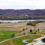
After a short jaunt through the woods, we encountered a large field. I believe that it is part of the wildlife area. It looked like it had recently been brush hogged (cleared of brush). The tricky thing was that we only encountered one field on the way in, and two on the way out. This created some confusion on our return trip. If I had to do it again, I would have printed a version of the satellite map of this area so that I could see where the fields were as I hiked.
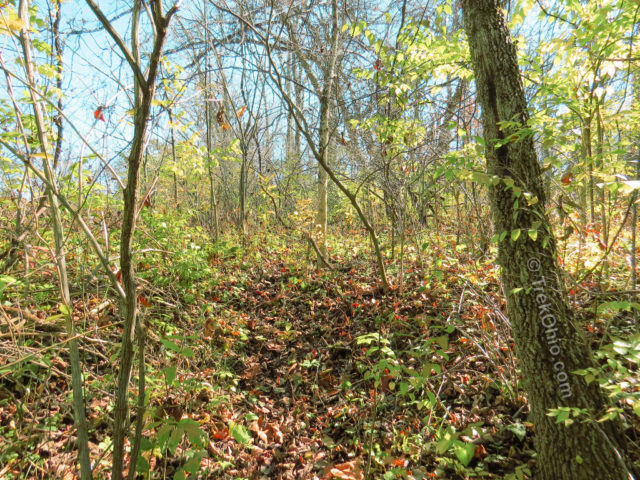
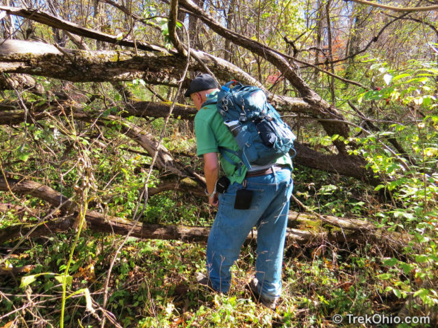
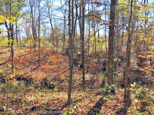
Once we crossed the field and entered the far treeline, the hike was more difficult due to the heavy undergrowth, particularly briars. Beside veering off course now and then to avoid the briars, it would have been nice if we were dressed more appropriately. Not being hunters ourselves, our wardrobes didn’t include clothing made from heavy-gauge fabric. After I got back and was looking into this, I saw that such clothing made of “12-ounce, 100% cotton sandstone duck” would have made for a more pleasant hike.
The Cave
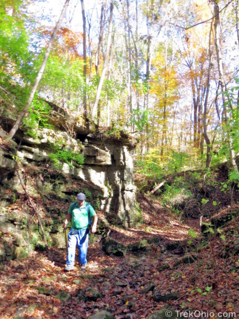
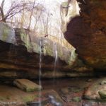
In the photo below you can see the first notable, geologic feature of our hike. Our GPS device indicated that we were close to our destination at this point. We weren’t quite sure where it was, so our first effort was to cross the ravine east of this cave (to the left of the area photographed) and climb a slope that lead us over ground above this cave (going to the right in the photographed area). After a short while we came to the conclusion that we were approaching the arch from above, so we retraced our steps and descended into this ravine to continue our search.
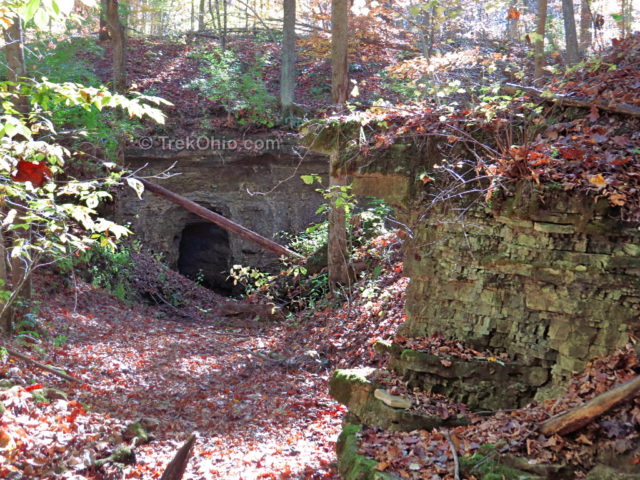
What we needed to do at this point was go towards the cave in the above photo and take a right. That would lead us down a ravine that goes toward and around the arch. However we couldn’t hike directly to the cave because there was a pool of water in a depression shortly before it that was deep enough to go over the top of our hiking boots. So we ended up semi-ascending the ravine wall to go around the corner while staying dry. Later we realized that if we had stayed on the near side of the ravine (the north side), we could have followed the ravine to the right (west) and descended into the ravine near a dry stream bed. That’s what we used to get out of the ravine on our way back.
After getting around the pool of water, I posed in the mouth of the cave to provide some scale.
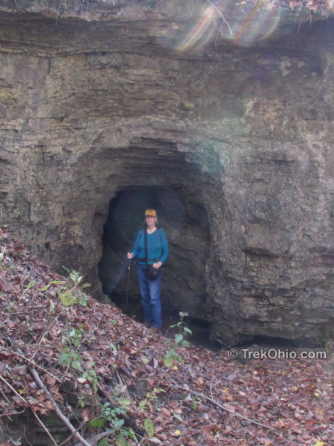
Surprisingly the cave went back into the cliff some distance and then turned to the left. A more adventurous person might have considered going back there to see how far it extended after the turn. I, however, was thinking, “Wouldn’t this be a great den for a bear?”, so I talked myself out of investigating it.
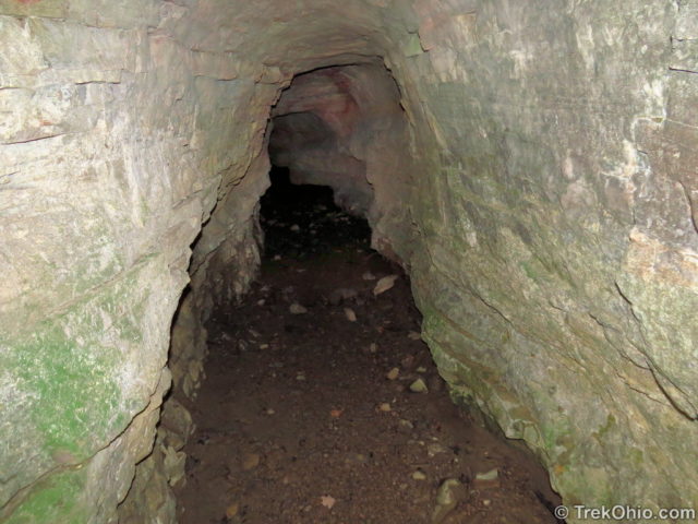
The dolomite wall that lined these ravines actually had a number of miniature caves like the one above.
In the photo below I move to the cliff face opposite the cave. It was around here that I had to climb up the wall a bit to get around the pool.
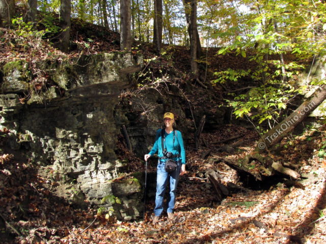
At this point we both had turned the corner by the cave and are going down the ravine toward the arch.
Trimmer Arch
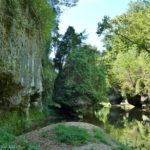
We first approached the arch from the north, but afterwards descended into the ravine which took a U-turn and led us around to the other side of the arch. I felt that our best photographs were from this “rear” vantage point because you could walk some distance away and get a wider view of the scene.
In the photo below, you can see to the right the ridge from which the arch emerges.
We both were glad we made the trip, but it seems unlikely that we’ll be back, so we took a number of photos.
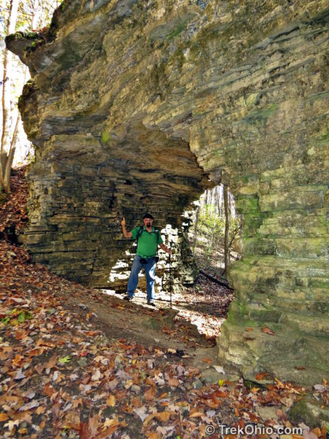
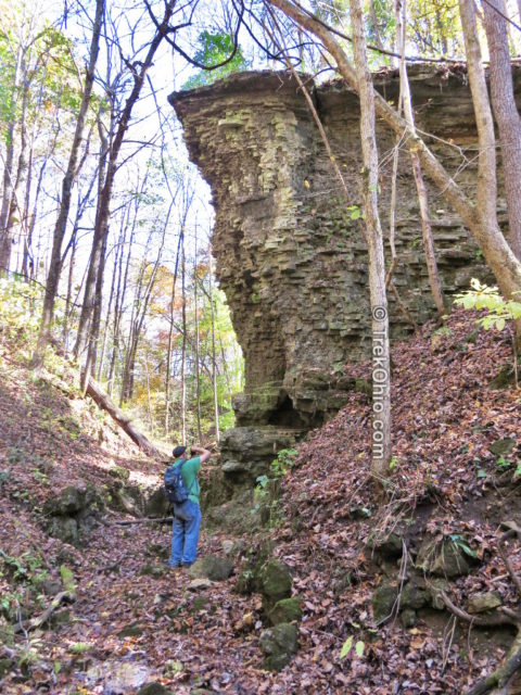
Just beyond the arch there was another dolomite cliff.
Heading Back
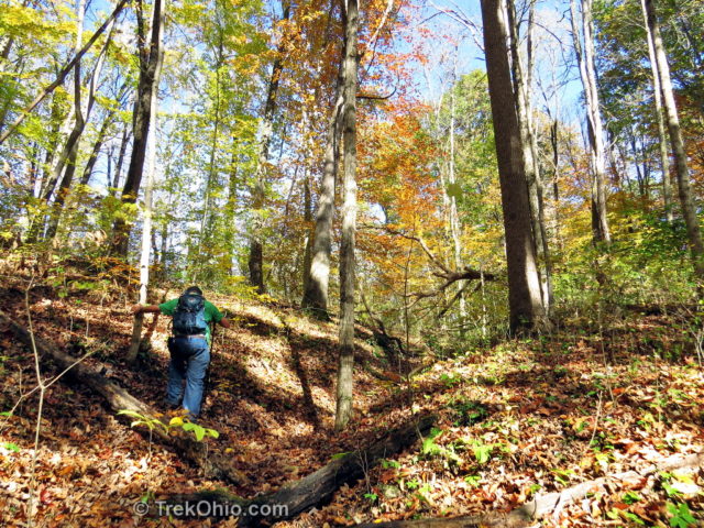
We found a dry stream bed leading into the ravine that we used as our way out. It was less steep than the place where we had entered.
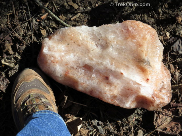
At some point while hiking back we came across this rock just lying on the ground. I wouldn’t be surprised if someone found it in a stream bed, decided to haul it out, and then changed his mind and dropped it here. Besides being a tad heavy, due to the thick undergrowth in some areas it really helped to have two hands free to move branches aside.
At the time I had assumed it was quartz, but after getting home I learned that dolomite can form crystals and that sometimes these crystals can be pink, so now I’m wondering if this is a block of dolomite crystals. We didn’t take it with us, so it’s still there if you want to look for it. 🙂
If you decide to go, I think late autumn would be the best time of year to visit the arch. The streams are relatively dry; a lot of the vegetation has died off, and there isn’t any ice to contend with. However I would recommend against going during deer gun season. We post information on deer hunting season here.
Additional information
- TrekOhio: Ross County Parks & Nature Preserves — Trimmer Arch is located within Paint Creek Lake Wildlife Area which is in Ross County. For links to the official site for Paint Creek Lake Wildlife Area and for information on nearby parks and preserves, check out our Ross County page.
- ODNR: Ohio’s Natural Arches (PDF)
- Wikipedia: Silurian — this was the geologic age in which the arch’s rock was formed
- Wikipedia: Dolomite — this is the type of sedimentary rock which eroded to form the arch
Location
- Parking at the end of Weller Lane
- In general I’ve found online and app-based navigation to the end of Weller Lane to be somewhat unreliable. Some maps recognize the road, but don’t know what its name is. Or they know where the road starts, but not where it ends. Or it is unclear whether the intersection is in Bainbridge, Ohio or Greenfield, Ohio. So in what follows I will direct you to the intersection of Weller Lane and Rapid Forge Road, and it will be up to you to turn into Weller Lane and follow it till it ends.
- Address: According to Google and Bing, the intersection is at Weller Lane & Rapid Forge Road, Bainbridge, Ohio 45612. According to MapQuest, the intersection is at Weller Lane & Rapid Forge Road, Greenfield, OH 45123-8285.
- GPS Coordinates for the intersection of Weller Lane and Rapid Forge Road: 39.30989, -83.3675
- Google Maps: View the intersection of Weller Lane & Rapid Forge Road on map or get directions, then turn into Weller Lane and follow it to its end on your own
- Bing Maps: View the intersection of Weller Land & Rapid Forge Road on Bing Maps or get directions, then turn into Weller Lane and follow it to its end on your own.
- MapQuest: View the intersection of Weller Land & Rapid Forge Road on Bing Maps or get directions, then turn into Weller Lane and follow it to its end on your own.
- If all else fails… There is a nearby intersection of roads that are slightly better known by navigation apps: Rolfe Road (also known as Township Highway 4K) & Rapid Forge Road (also known as County Highway 1), Greenfield, Ohio 45123. If you can get to this intersection, continue south on Rapid Forge Road a short ways till it intersects with Weller lane on the right (west of Rapid Forge Road). Turn into Weller Lane and follow Weller Lane till it ends.
More on Natural Arches
I am a geocacher and am planning on hiking to Trimmer Arch and a few other locations in that close vicinity in the near future. I came across your description of your trip out there and it will come in extremely handy to use as a source to navigate the area. I have a very reliable GPS unit but since there are no trails to speak of your trip details the direction I want to approach. Thank you for sharing this as I am sure I will not be the only one that will benefit from this.
What an adventure! Glad you made it there and back safely. Looks like there was still some color there! Hope you’re enjoying this beautiful season…
There is a trail to the arch. Don’t follow gps directions. When you cross the bridge and go up the hill when you find the no trespassing signs your gps will tell you to go straight. Instead follow the trail to the right. It winds around a lot but is a clear trail to the arch.
Do you know if this area is part of the public hunting land? With it being hunting season it concerns me and I like to check prior to going off-trail.
Adam, Paint Creek is a public hunting area. ODNR publishes a complete list of public hunting areas here (PDF). At our site we publish the dates for both deer hunting and turkey hunting seasons.