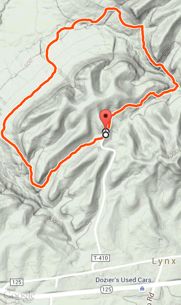
Towards the end of last spring we visited the Wilderness Trail at the Edge of Appalachia Preserve in Adams County. Starting at the parking area, the trail is a 2.4 mile loop. The trail features hills, rock outcroppings, streams, forest with lush vegetation, and a small segment of prairie.
Getting Oriented
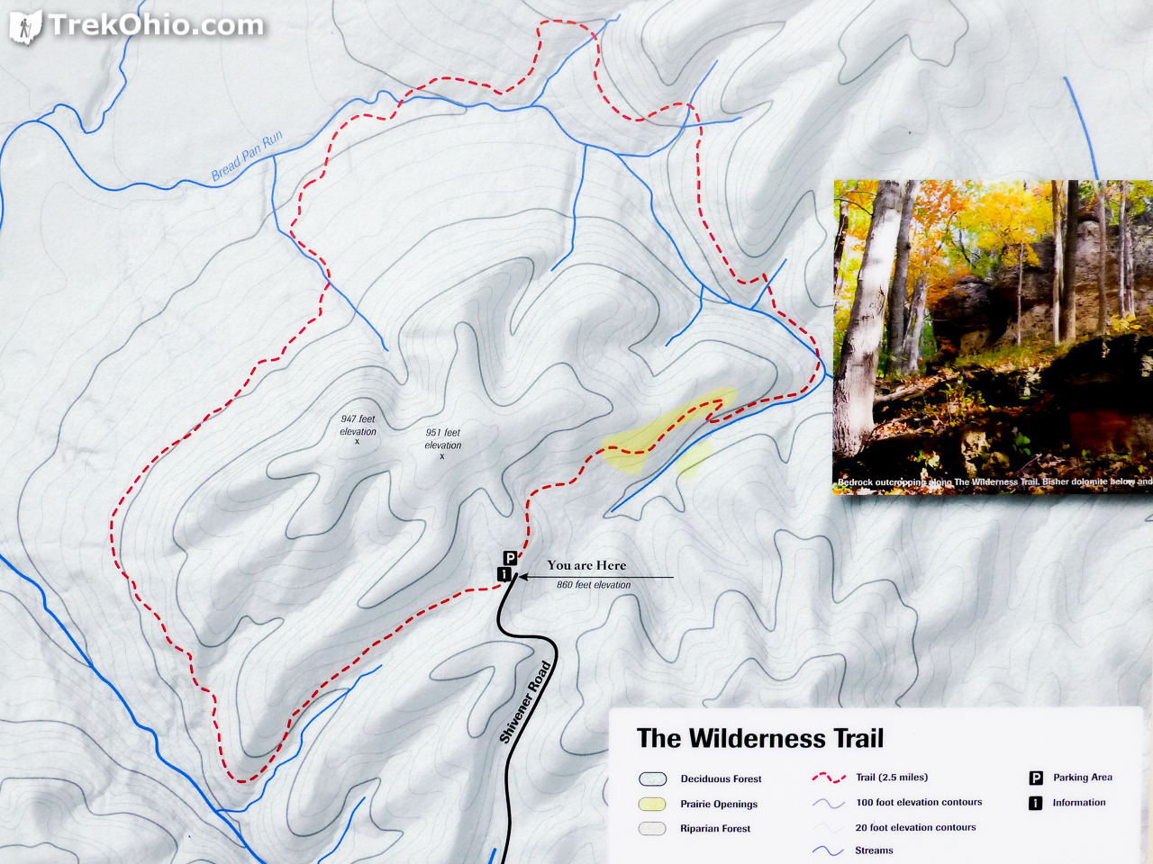
We hiked the trail in a counter-clockwise direction, passing through the prairie opening towards the end.
The Hike
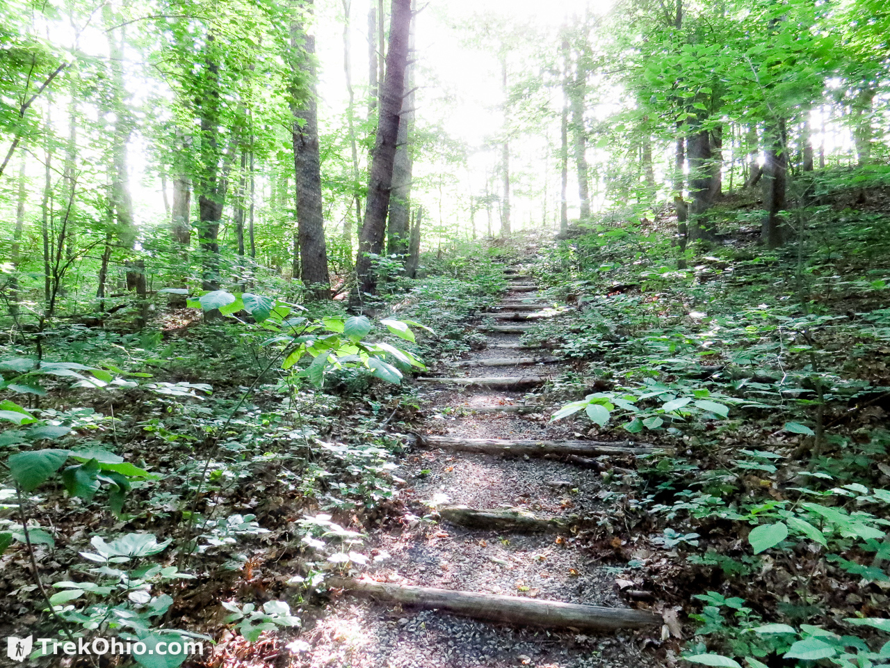
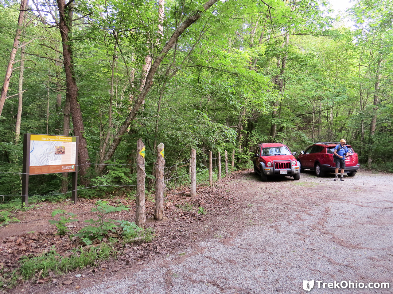
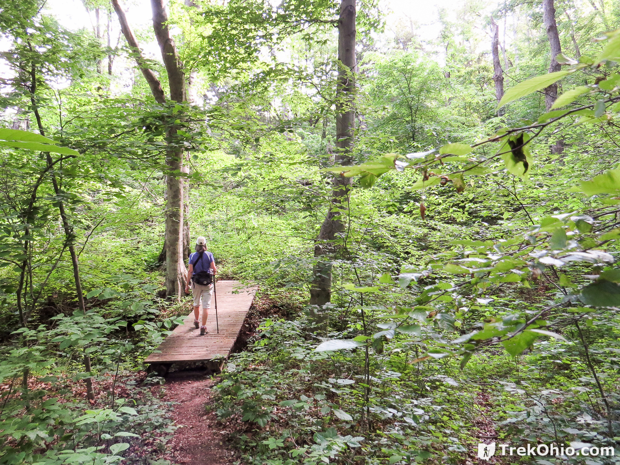
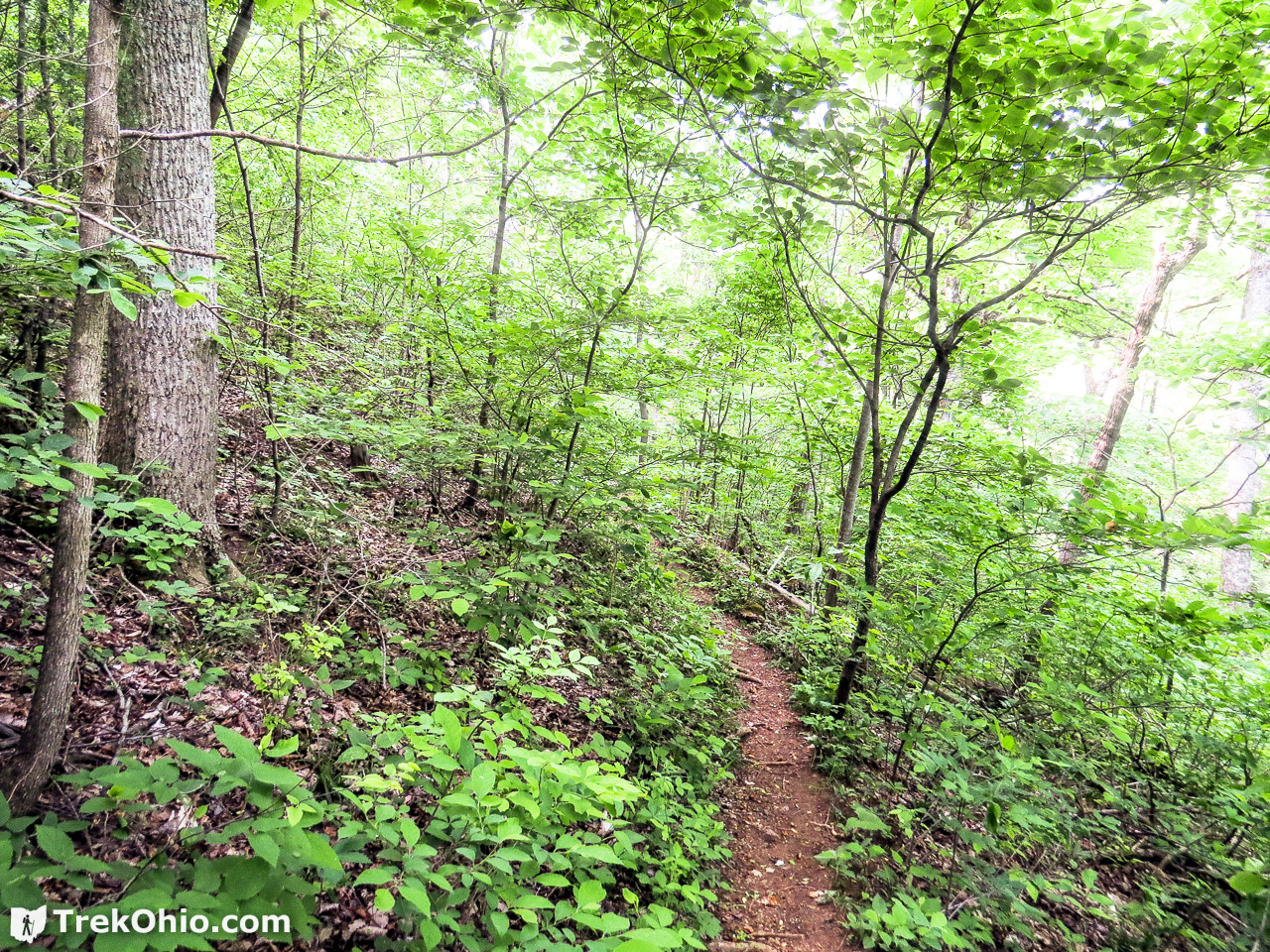
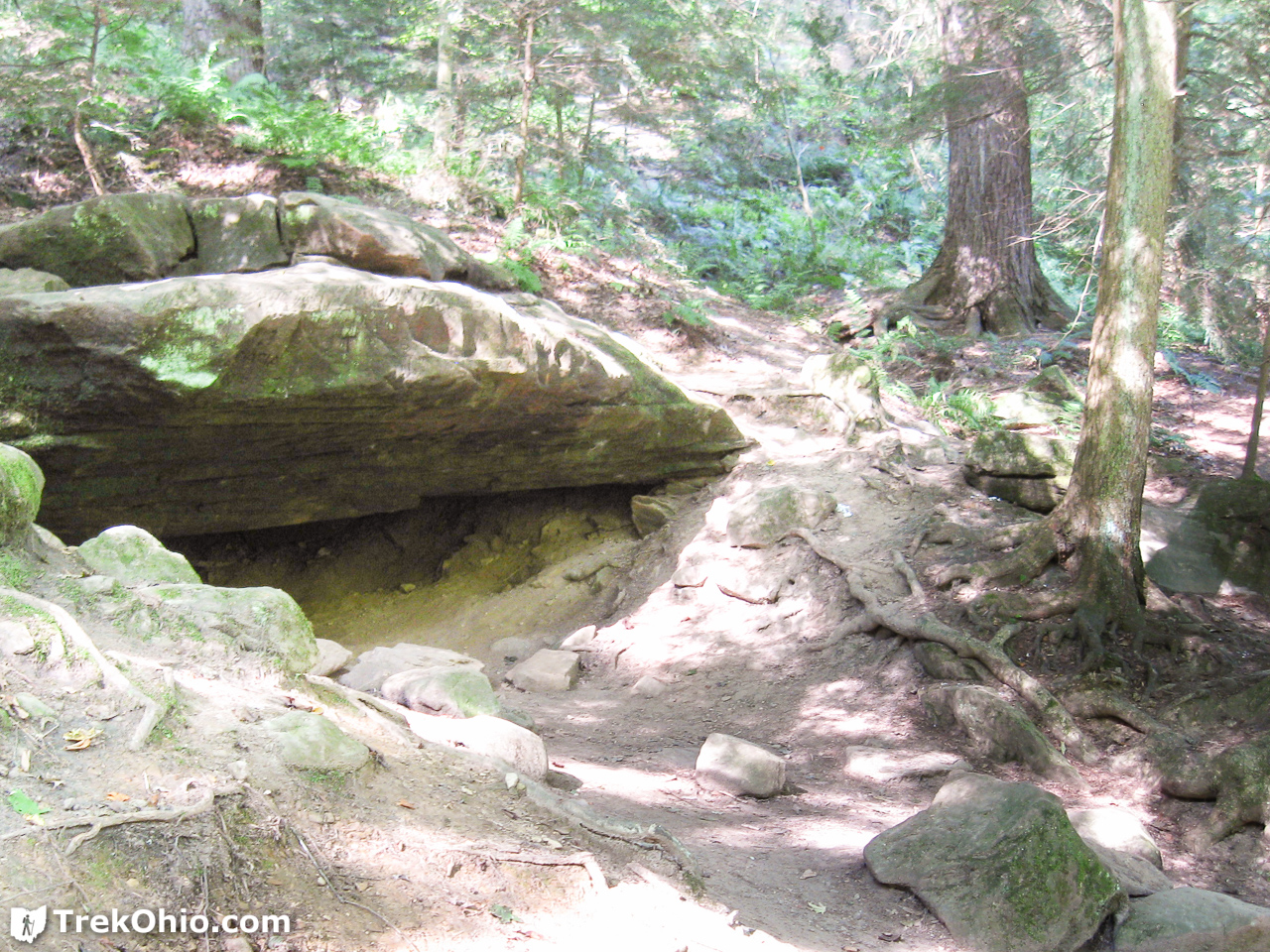
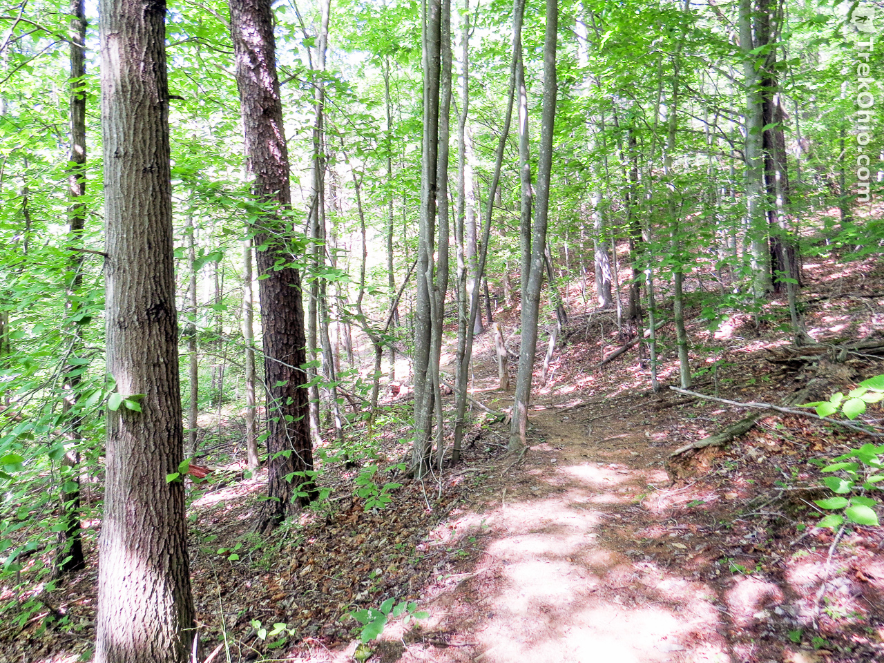
The parking lot is at the end of Shivener Rd, a gravel road off of State Route 125. There is a gravel parking area and an information kiosk. We hiked the 2.4 mile loop trail in a clockwise direction. The trail is well marked with yellow blazes, though it is narrow in spots. Most of the trail is through mature forest. There are several hills and rock outcroppings along the way. Stream crossings feature wooden foot bridges.
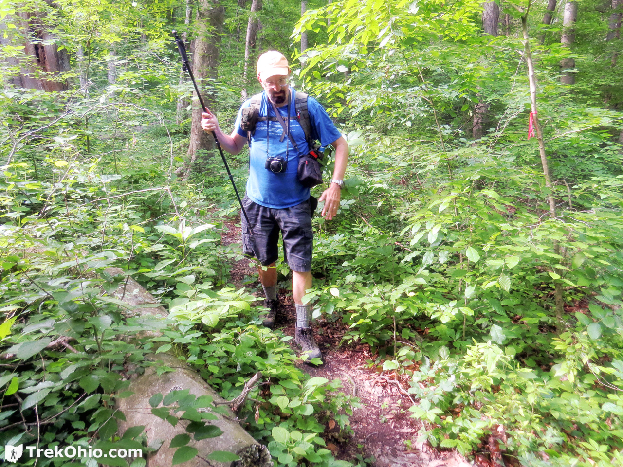
During the initial part of the trail, the undergrowth was quite lush, and the trail was narrow. Since the skin of our lower legs were exposed, we had to keep an eye out for poison ivy. When we know that we are going to brushing up against vegetation, we typically apply DEET to our legs. Ticks tend to lay in wait in low-growing vegetation, so they can latch onto a passing animal or person.

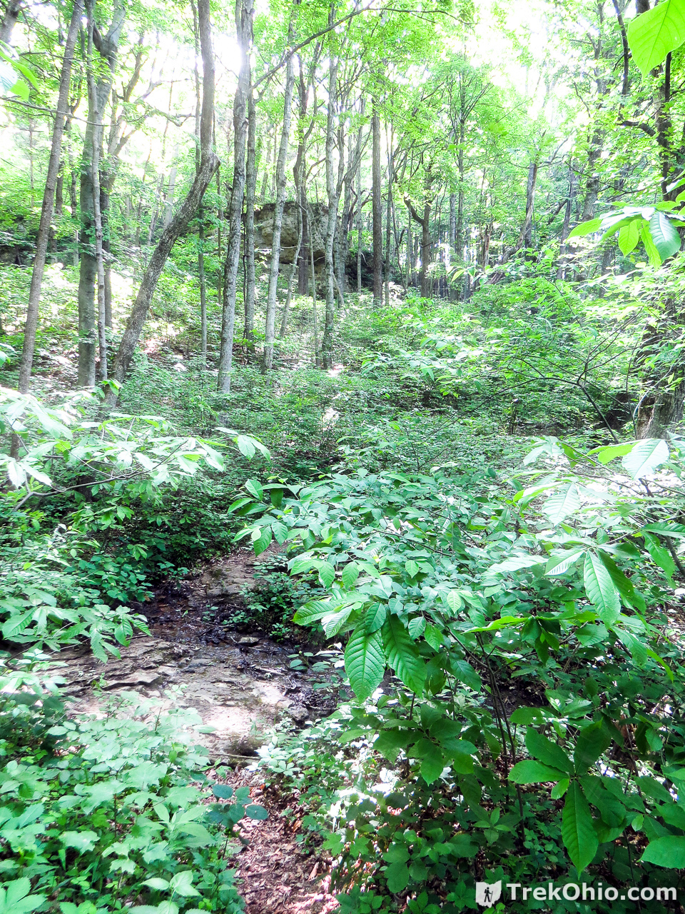
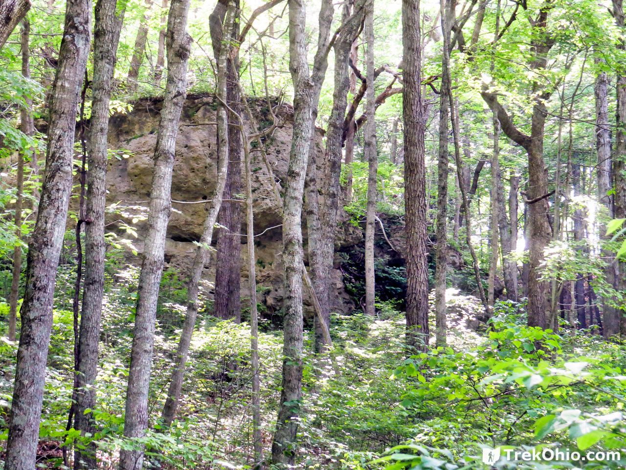
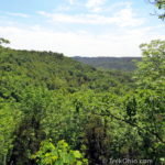
Towards the latter part of the trail, the trail ascends steeply and passes some dramatic rock outcroppings.
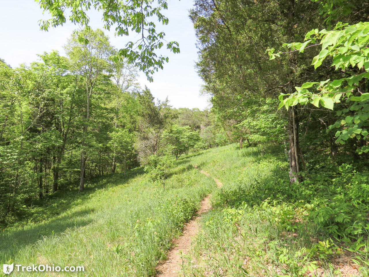
Towards the end, we passed through the Shivener Prairie. This small section of prairie was thick with summer wildflowers including colorful Indian Paintbrush. We observed many butterflies flitting from flower to flower.

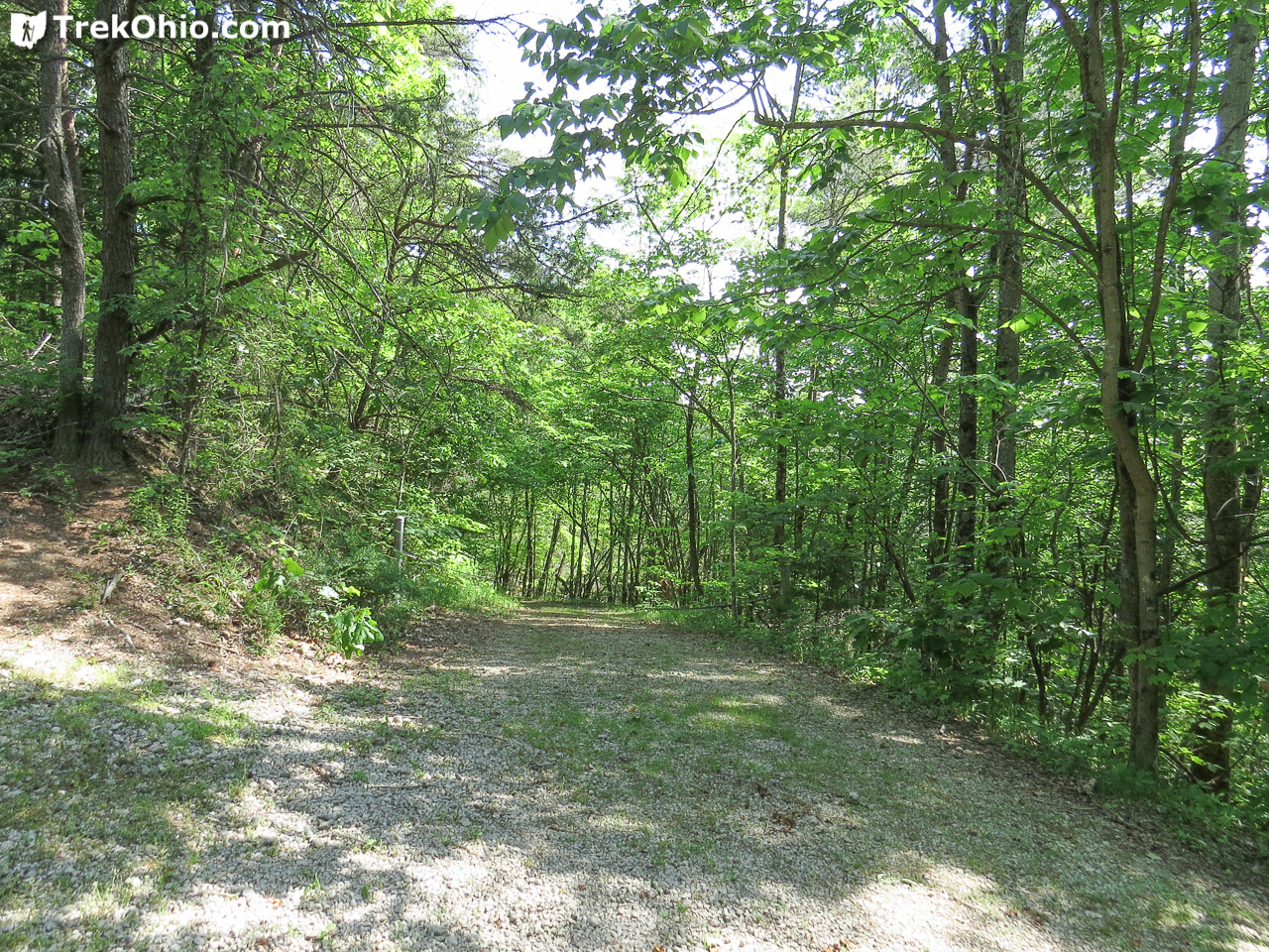
After leaving this small prairie opening and returning to the forest, we went through a section with very little undergrowth.

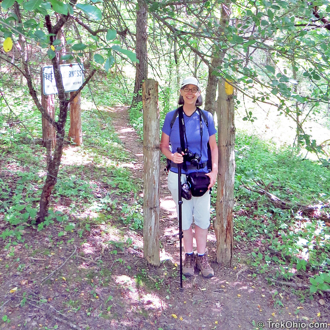
There was a narrow opening that we had to pass through as we left the forest. This could be challenging for those who are on the heavy side.
After passing through this exit, the trail emptied onto a lawn. Yellow trail markers assured us that we were still on the trail and hadn’t strayed onto some farmer’s property. There was a small building and a couple of latrines (locked). Presumably, these are for special programs.
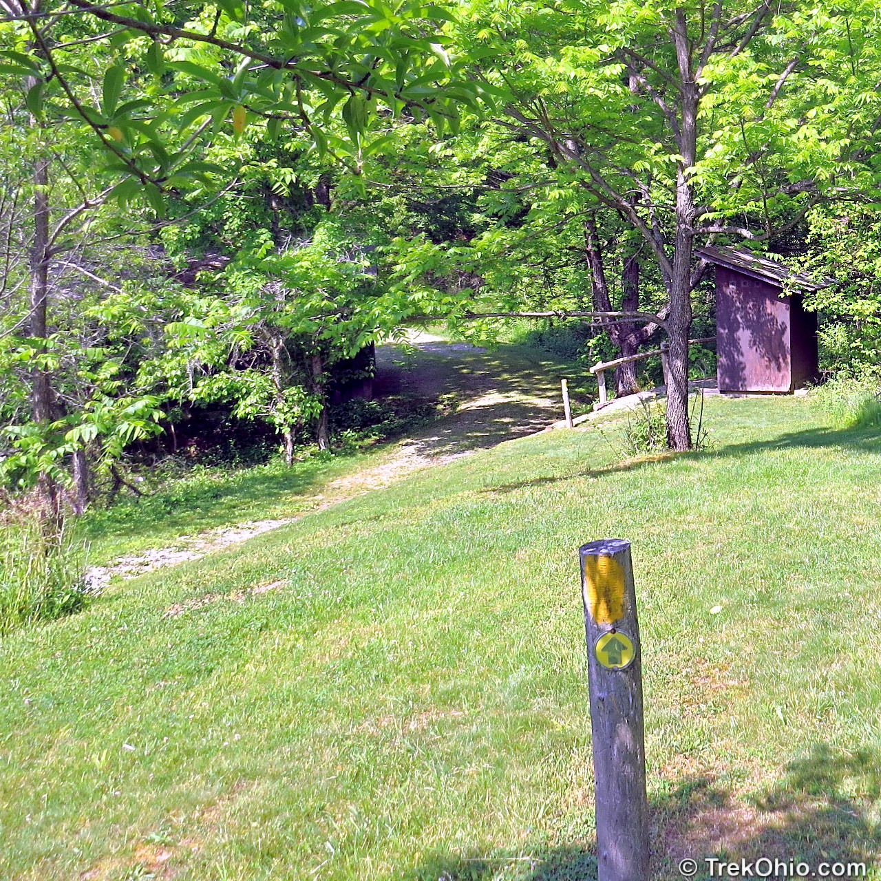
The remainder of the trail followed a dirt road for a short ways back to the parking lot. In the photo below, I’ve reached the parking lot and I’m looking back at the road.
If you are looking for a quiet, solitary walk through forest trails with interesting terrain, this is the right spot. Do be aware that the once the undergrowth gets going, the trail may be narrow and challenging to pass through. But then, it isn’t called the “Wilderness Trail” for nothing. 🙂 If you are primarily interested in the prairie opening, it is a short walk there and back if you start by going the opposite direction than that which we chose (go counter-clockwise by continuing down the dirt road instead of passing through the signed trailhead).
Additional information
- Adams County Parks & Preserves — This is the county where the Edge of Appalachia is located; check out this page for links to the official website and for information on nearby parks and preserves.
- Edge of Appalachia Web Site — This site includes a link to a trail map for the Wilderness Trail
- Edge of Appalachia: Joan Jones Portman Trail — The nearby Portman Trail features information kiosk for all of Edge of Appalachia Preserve, picnic area, and latrines. It is recommended that new visitors to the preserve stop here to get oriented.
Location
- Address (approximate): 499 Shivener Rd, West Union, OH 45693
- Directions: The parking area is at the end of Shivener Rd off of SR-125 near Lynx, Ohio.
- GPS Coordinates: 38.780369, -83.417129
- Google Maps: View on map or get directions
More on the Edge of Appalachia
 Edge of Appalachia: Joan Jones Portman Trail
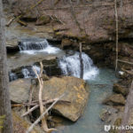 John and Marion Becker Cedar Falls Preserve
 Ohio Lodges Reopen – Trip to Shawnee Lodge
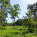 Edge of Appalachia: Lynx Prairie Trail
Trail is easier done counterclockwise, steep drop in the begining then a more gradual and hence, easier return.Also winter is good because you can see the cliffs better. Great spring wildflowers, snake country.Please observe from a safe distance