There are three river metroparks in the Toledo Metropark system, all of which lie along the Maumee River and are connected by the Towpath Trail. As the name suggests, the trail follows along the towpath of the former Miami and Erie Canal; this trail makes up a portion of the blue-blazed Buckeye Trail System. From east to west the three river metroparks are Providence Metropark, Bend View Metropark and Farnsworth Metropark. We decided to explore the Farnsworth Metropark by walking along the Towpath Trail starting near the Roche de Bout shelter in Farnsworth Park and walking eastward toward the Bend View Metropark.
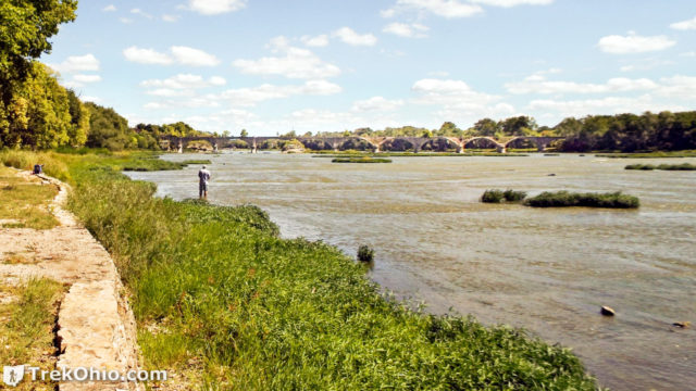
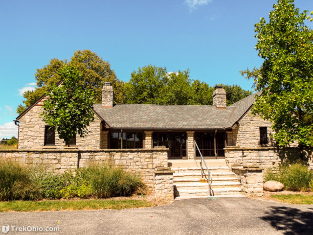
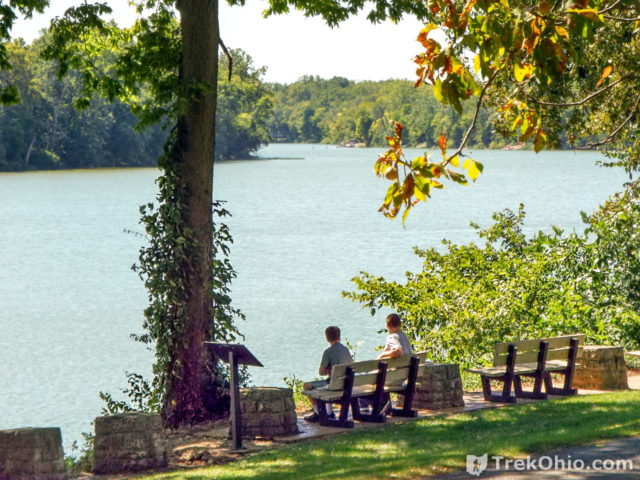
We began by parking near the Roche de Bout Shelter. There are public restrooms there, and in the immediate vicinity there are park benches and upstream there is the Ohio Electric Railroad Bridge (also known as the “Interurban Bridge” or the “Roche de Boeuf Bridge”. “Roche de Bout” (sometimes referred to as “Roche de Boeuf”) is a French phrase. Roche de Bout could be translated as Rock Top, while Roche de Boeuf could be translated as Buffalo Rock. In any case, it refers to a small island whose top consists of exposed bedrock. Local lore has it that it was once a place where Native Americans held councils. In 1908 the Ohio Electric Railroad Bridge was constructed so as to cross this rocky island, which destroyed part of it. The bridge was once the world’s longest earth-filled, reinforced concrete bridge. It was constructed by the Lima-Toledo Traction company, which operated an electrically-powered, interurban trolley line. In 1929 it became the Cincinnati and Lake Erie Railroad, however it only remained in service for eight more years. Because the bridge was frequently damaged by flooding and was expensive to repair, the economic collapse ushered in by the Great Depression resulted in the bridge being abandoned.
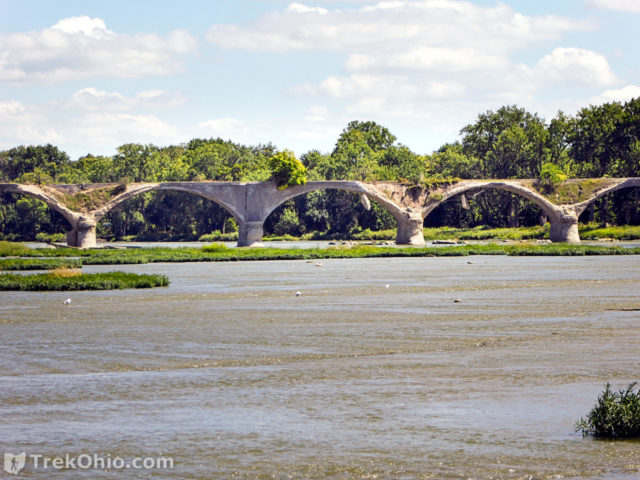
If you are interested, there is a nice video showing an aerial view of the bridge, including the Roche de Bout: https://youtu.be/9BQuV_usTEk.
After looking over the area near the Roche de Bout, we walked over the the Towpath Trail and headed eastward toward the Bend View Metropark. Below is a screenshot showing a GPS trace of our walk.
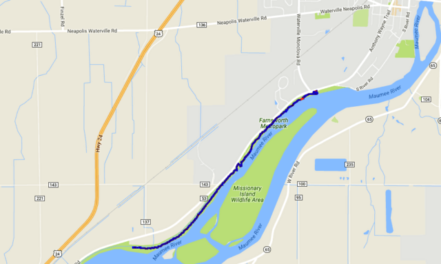
We had almost made it to Bend View Metropark, but after 2.9 miles we decided to turn back and walk the back to our point of origin for a 5.8 mile walk in total. For most of our walk, when we looked out at the river, we were not seeing across it, but instead seeding the shoreline of an island in the river. The island is Missionary Wildlife Area, and if you have a boat, you can go over there and check it out.
We were visiting the park on a beautifully sunny Labor Day weekend. One of the most notable features of the park were the large number of kayakers who were enjoying the Maumee River.
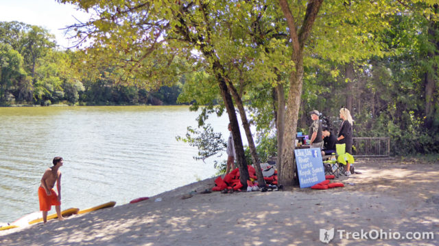
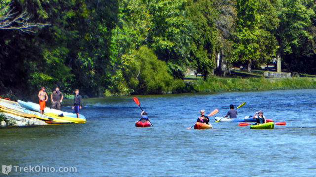
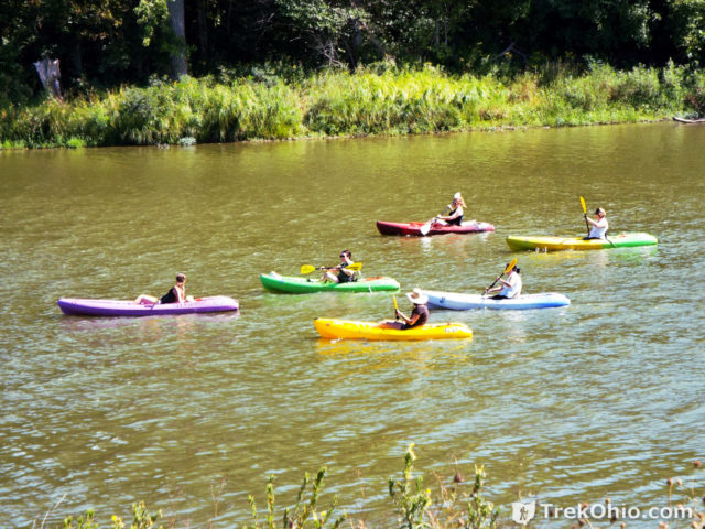
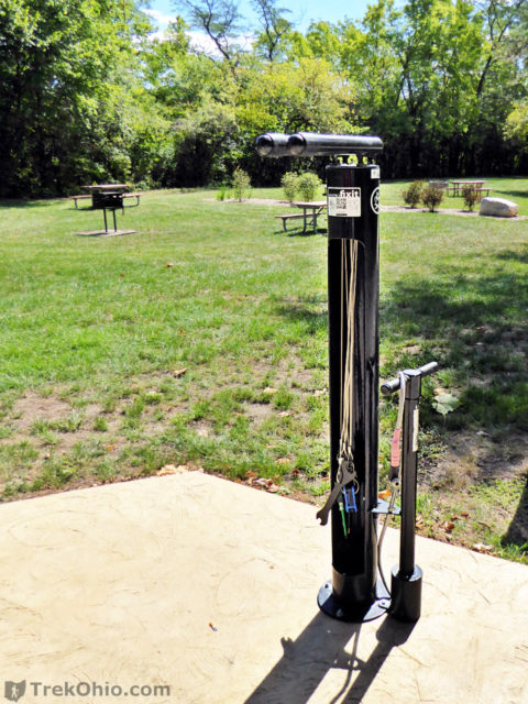
On the trail were both others like ourselves going for a walk, plus many individuals riding their bikes. One thing that we noticed at the park that I don’t recall ever seeing at any other parks was a bike maintenance station along the trail. It included an air pump and various tools attached to a post via cables.
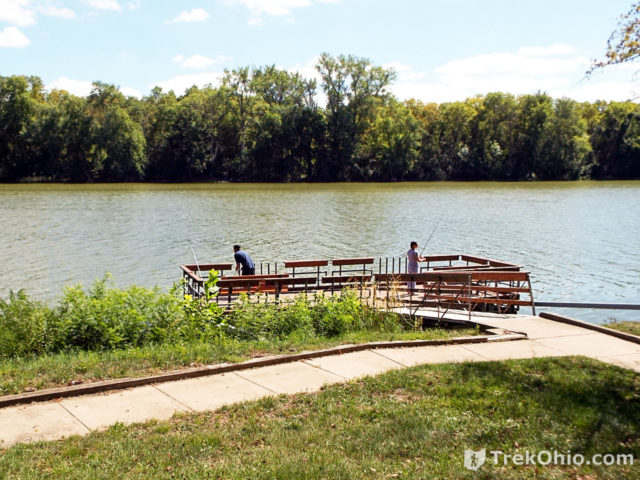
We noticed individuals fishing from the shore line and from the fishing dock pictured below.
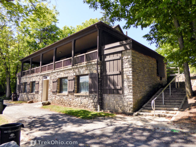
As we made our way eastward, we passed another shelter that is available for groups to rent; this one was the Indianola Shelter.
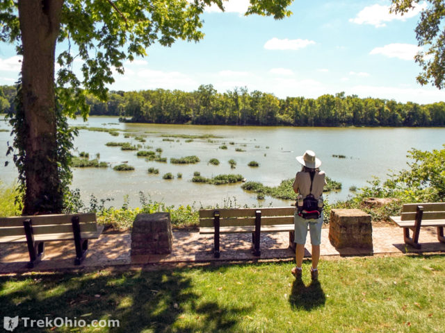
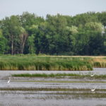
During the initial part of the hike we had many opportunities to get a view of the river. We noticed many egrets, herons, gulls, and cormorants.
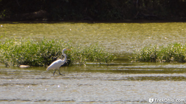
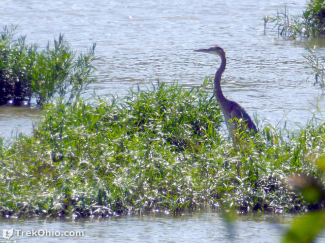
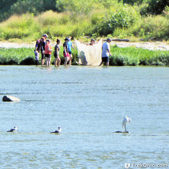
On the opposite shore we saw some young adults who looked like they were doing some research on the local aquatic life by acquiring samples with a net.
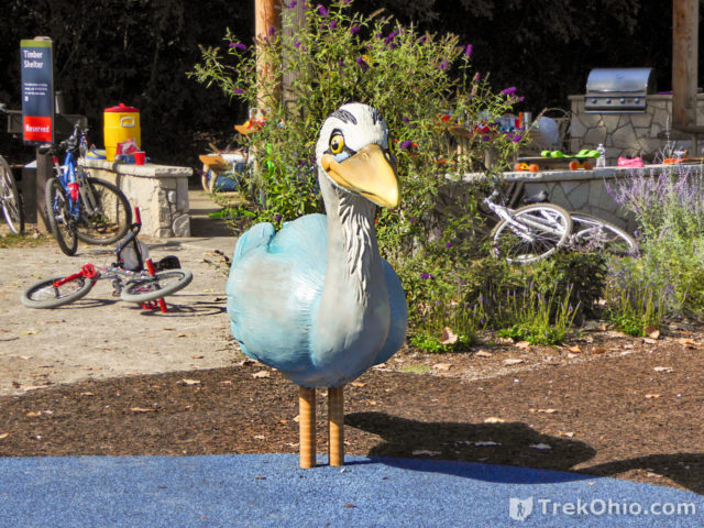
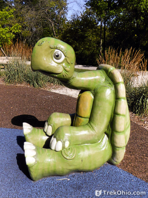
We passed a very nice looking playground. Besides having the usual playground equipment, there were a couple of animal statues for children to climb on. This is the first time I’ve seen a great blue heron playground fixture, and it was fun and reflected the park’s locale.
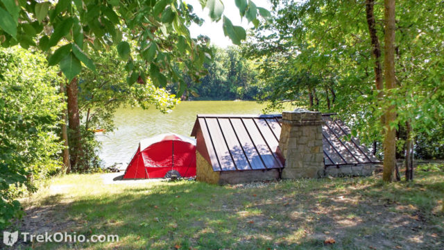
We passed several camp sites for tent campers during our walk. There are two campsites for individuals, and one for groups. Besides have a river-front view, each individual campsite also had it’s own picnic shelter.
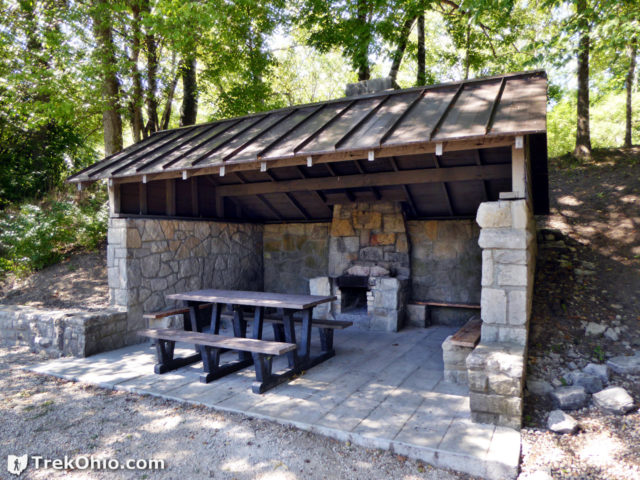
We walked into an individual campsite that was unoccupied to see what the shelter was like.
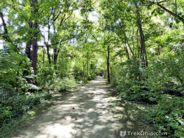
As we drew near the eastern end of our hike, instead of being surround by park land on both sides, you pass through an area where the Towpath Trail is a public access area passing through privately owned land. At one point there were even homes between the Towpath Trail and the river.
All in all we had a great day at this metropark. It was well-maintained and there were many different kinds of activities available to entertain visitors who want to get outside: camping, paddling, cycling, fishing, walking, bird-watching, picnicking , etc.
Additional information
- TrekOhio: Lucas County Parks & Nature Preserves — This is the county where Farnsworth Metropark is located; check out this page for links to the official website and for information on nearby parks and preserves.
- MetroparksToledo.com: Farnsworth Metropark
- MetroparksToledo.com: Towpath Trail
- MetroparksToledo.com: Farnsworth Campground: There are two individual and one group campsite for tent camping only. Open from May through November 15th. To reserve or to check for availability, call 419-407-9710
- MetroparksToledo.com: Indianola Shelter Area: 9 a.m. to sundown; capacity: 43; to reserve or to check for availability, call 419-407-9710
- MetroparksToledo.com: Roche de Bout Shelter: 9 a.m. to sundown; capacity: 38; to reserve or to check for availability, call 419-407-9710
- Wikipedia: Interurban Bridge, also known as the “Ohio Electric Railroad Bridge”.
- Toledo Perspectives: Roche de Boeuf
Location
- Parking Lot for the Indianola area
-
- Address: 8505 S. River Road (US 24), Waterville, Ohio 43566
- Directions: The driveway is on S River Road, just northeast of its intersection with Neowash Road
- GPS Coordinates: 41.4754347,-83.7538536
- Google Maps: View on map or get directions
- Parking Lot for the Roche de Bout area
-
- Address (approximate): 668 S River Road, Waterville, Ohio 43566
- Directions: The driveway is on S River Road, just east of its intersection with Waterville Monclova Road
- GPS Coordinates: 41.4874722,-83.734512
- Google Maps: View on map or get directions
More on Lucas County

I now live in Kansas but grew up in North Canton, Ohio. I am 93 now and am currently reading the book “Pioneers” by David McCoullough which tells about the settlement of Ohio and the Northwest Territory after the Revolutionary War. After reading about the Battle of Fallen Timbers, and consulting the computer I am now finding a lot of interesting history that took place around the Maumee River and Defiance. I don’t travel much anymore but am anxious to see that part of Ohio that I haven’t become familiar with. Now, I’m trying to igure a way to get back there to see it.