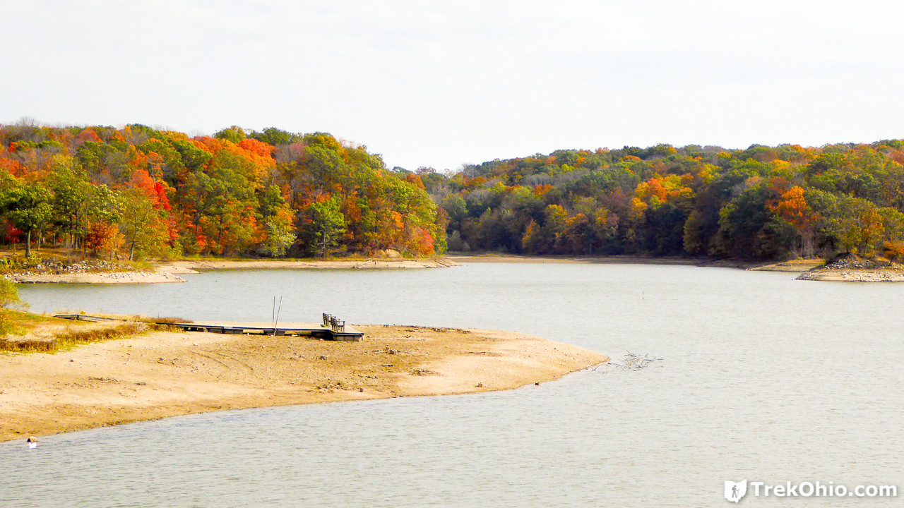
A.W. Marion State Park is a 309-acre park in Pickaway County that I described after a previous hike in the spring (see here for description and photos). On October 29th we returned to the park to hike the Hargus Lake Perimeter Trail. We thought that peak fall color had probably passed, but when we arrived we were pleasantly surprised at how colorful the park was. As it turns out there are many maple trees in the park, and many of these were a brilliant red.
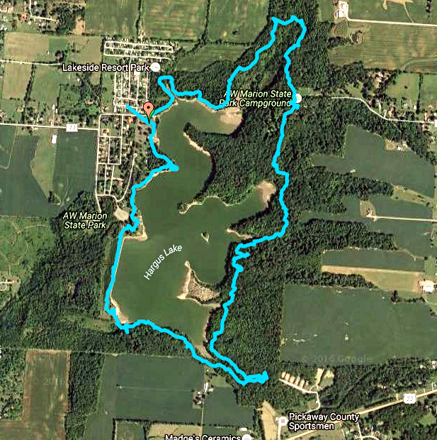
We made a GPS trace of our hike. It you like, you can explore the same GPS trace on Google Maps. Below is a screenshot of the trace.
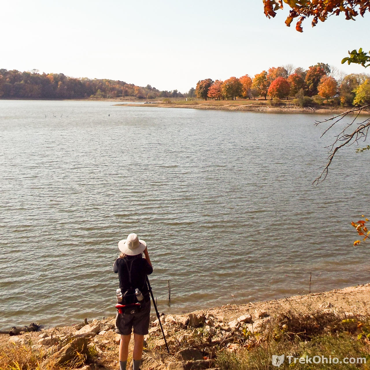
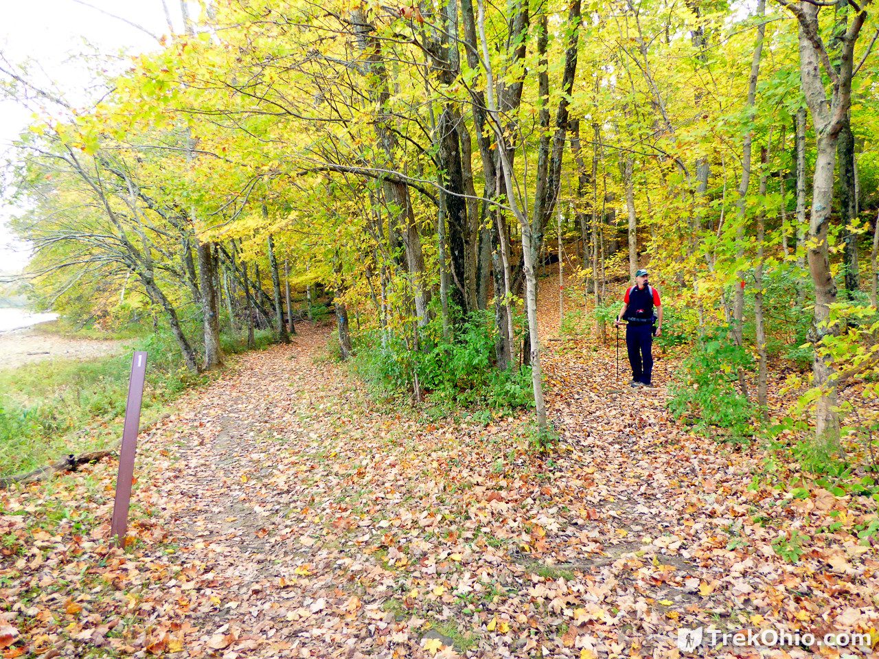
The water level was lower than normal. I believe that park officials lower the water level in preparation for winter. We parked near the boat launch which had just recently been replaced. Then were traveled southwards along the western side of the lake. This is the more “civilized” side of the lake. Besides the boat launch, there is a store (closed for the off-season), picnic tables, picnic shelter, and lawn. Below is a view looking beyond the new boat launch.

Toward the southwest corner of the map we came to the lake’s earthen dam. The trail passes across it.

While standing on top of the earthen dam, you can see a dirt trail below. I’ve never explored it, so I don’t know where it goes. Trail maps for the park don’t mention it.
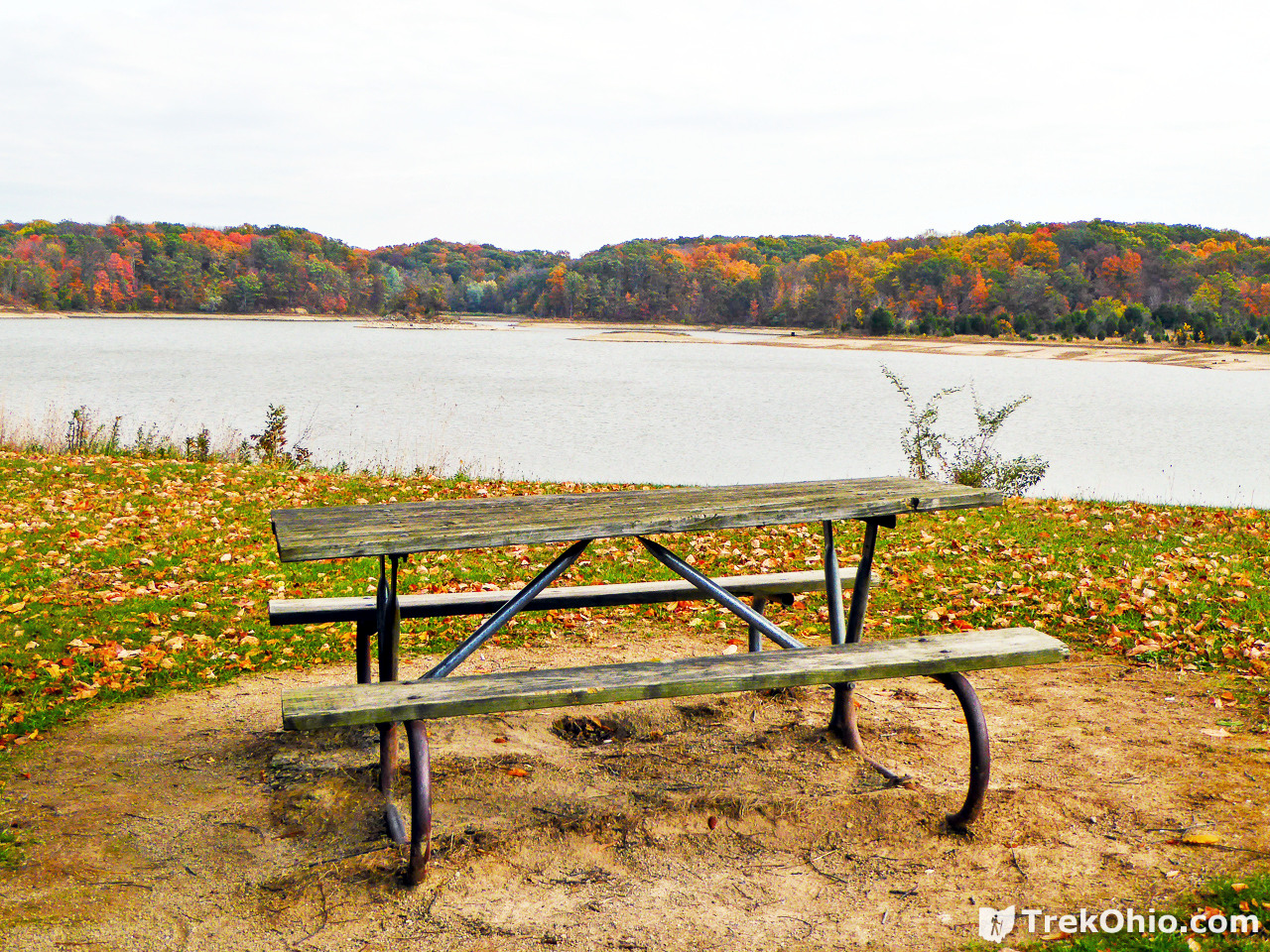
Once you’ve crossed the dam, you’ll reach the sign below. To follow the trail around the lake, you want to turn left (northward) on the dirt trail below. Or alternatively you can take a break from the trail at a nearby picnic table. We had our lunch there.

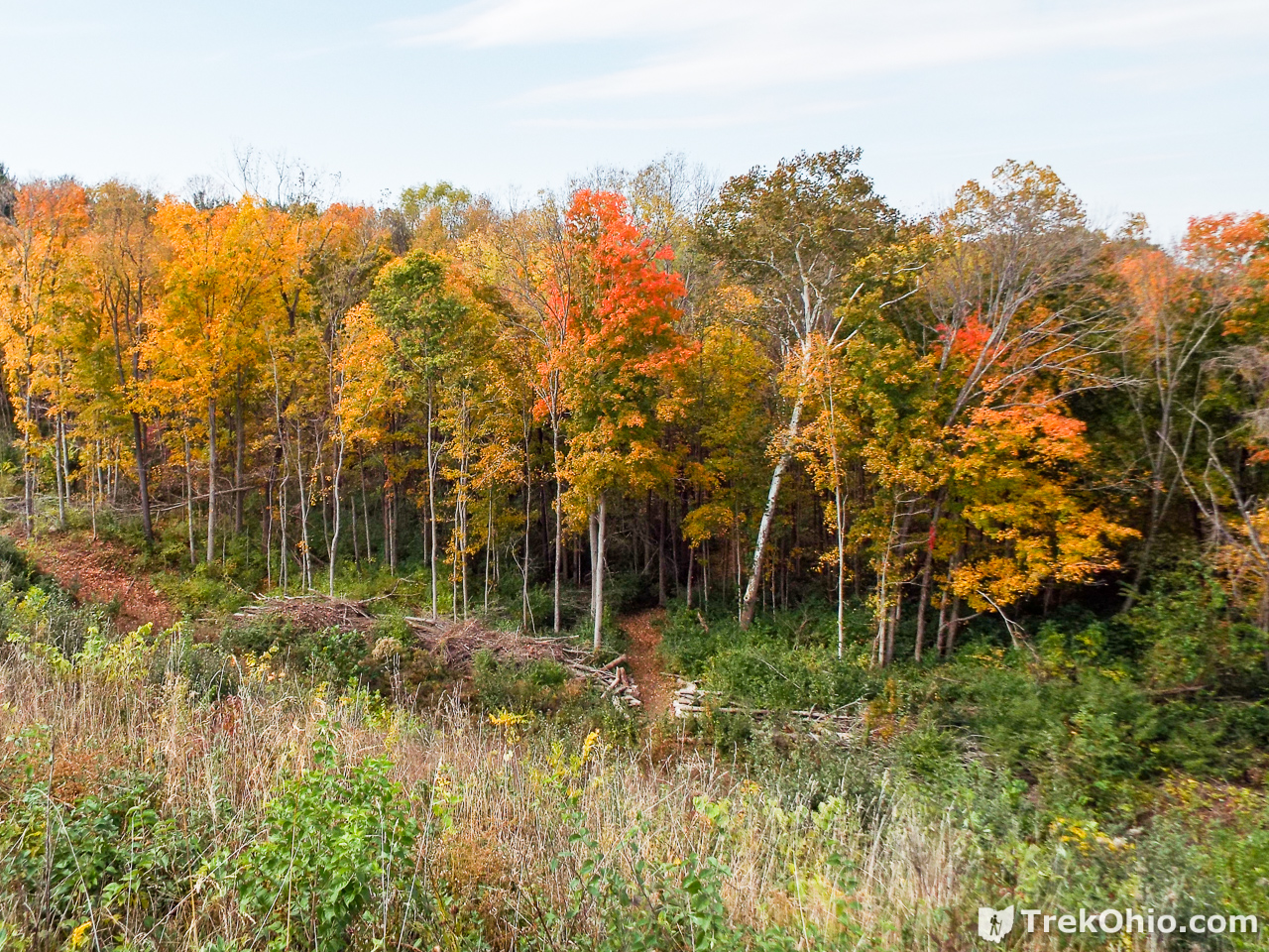
As we moved northward on the eastern side of the lake, the trail goes through a wooded area, sometimes with views of the lake, and sometimes not. At various places the trail split in two, with one fork being nearer to the lake, and the other trail following a more distant, but higher path. However in terms of just getting around the lake, it didn’t really matter which branch you took because the two trails would merge into each other after a short while. Our best guess is that the alternate trails were created to make a trail that was more friendly to joggers. We tended to stay on the blue trail for most of the hike.
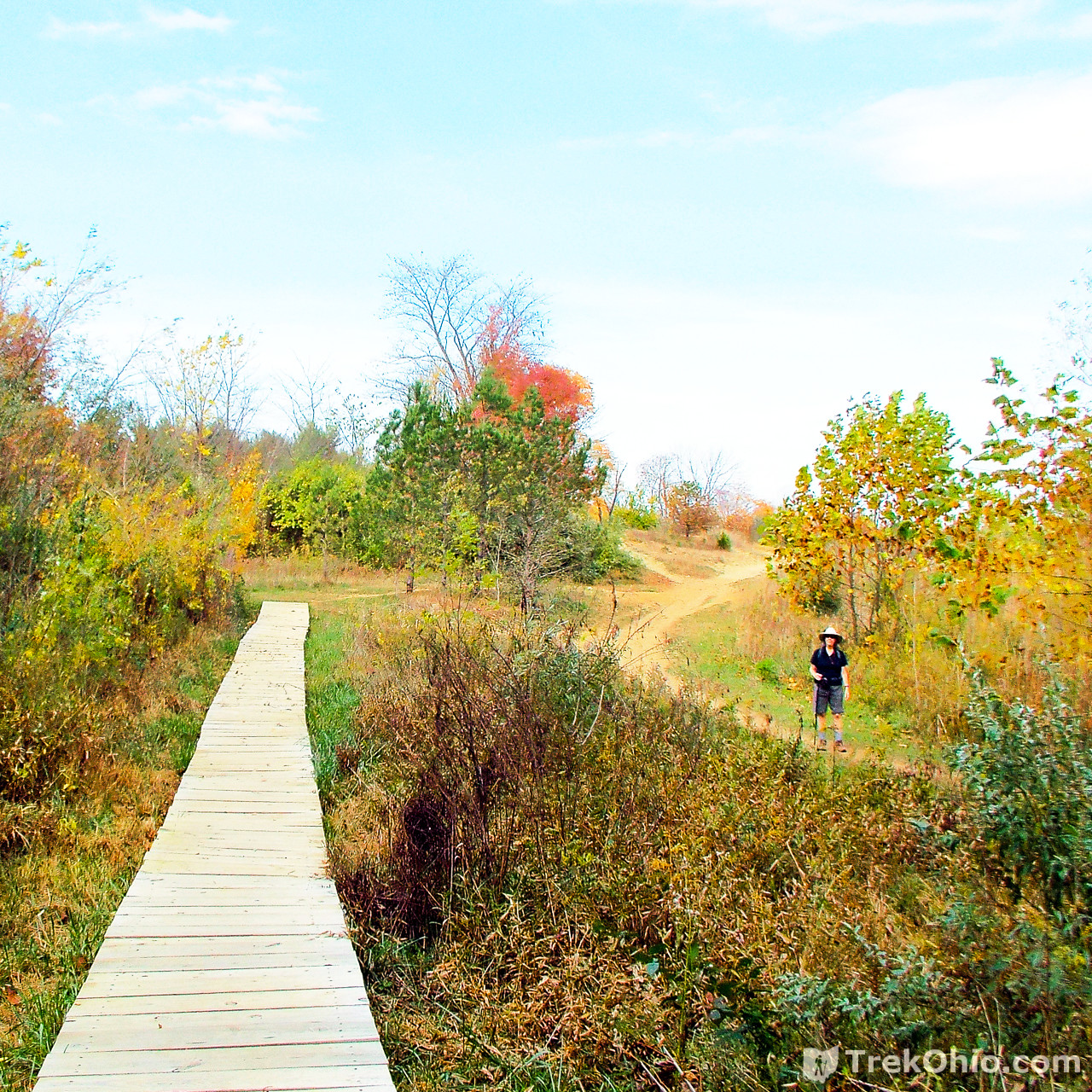
Below is one of the splits. Bob was standing on the boardwalk photographing Deb on the dirt trail below.
And another split below.
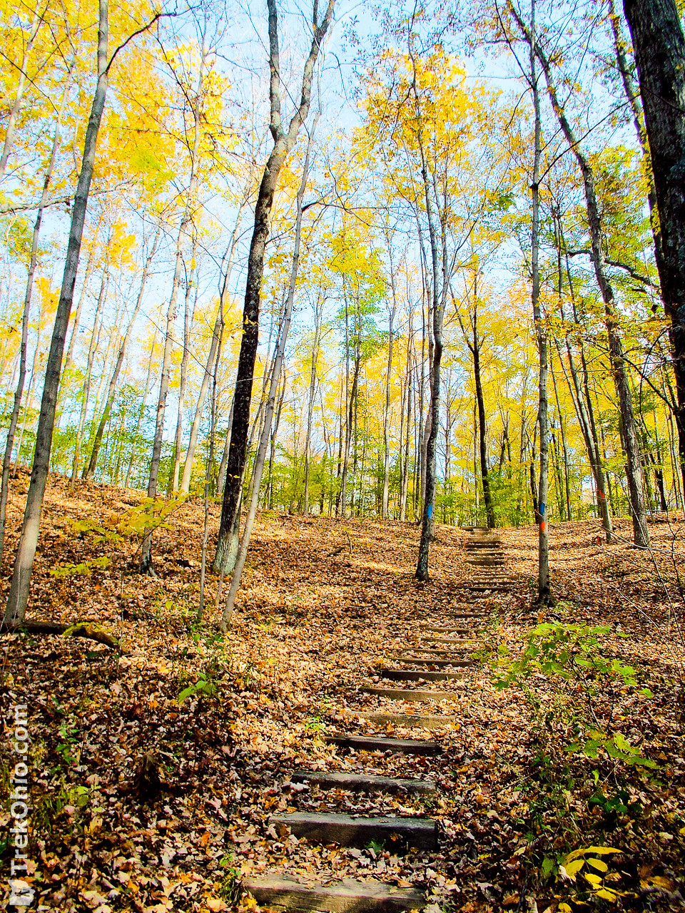
Some of the steeper areas had stairs.
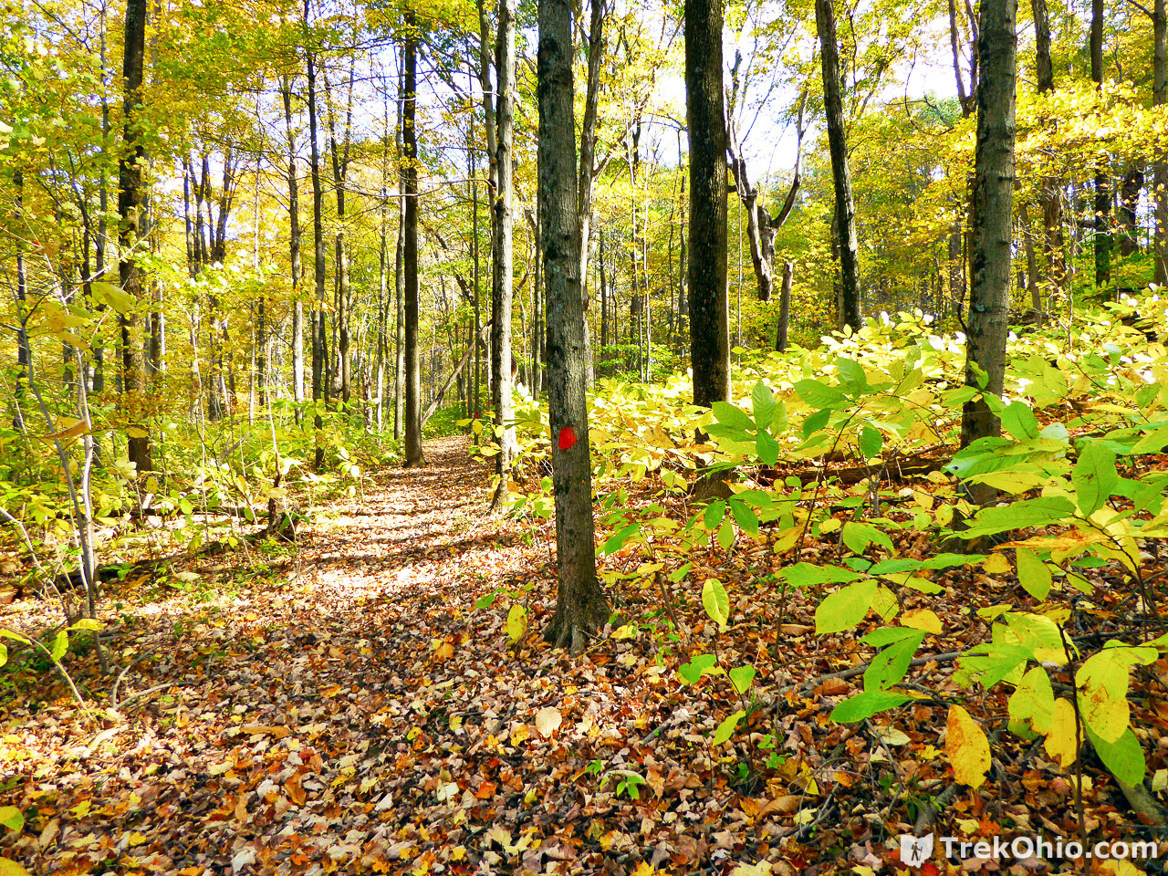
Below are a few photos showing the trail after it has moved away from the lake. The one immediately below shows the red blaze on the tree that shows the way for the Hargus Lake Perimeter Trail.
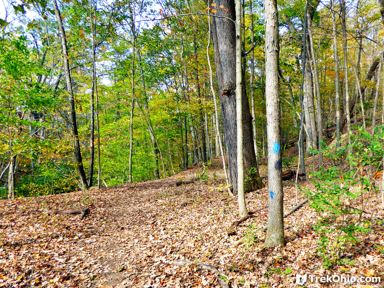
However stretches of the Hargus Lake Perimeter Trail overlap with the Buckeye Trail, so you’ll also see the blue blazes used by the Buckeye Trail.

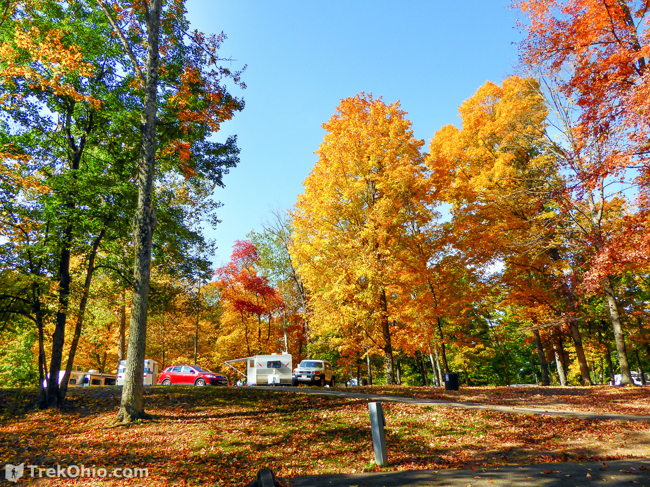
As we hiked farther north we came across the campground that lies on the eastern side of the lake.
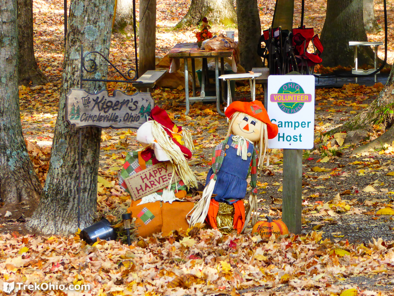
One of the campsites was reserved for the campground’s volunteer host.
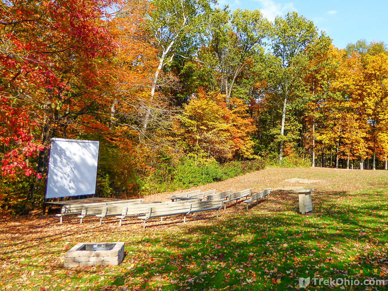
As we reached the northern edge of the campgrounds we passed the outdoor theater for showing movies to campers.
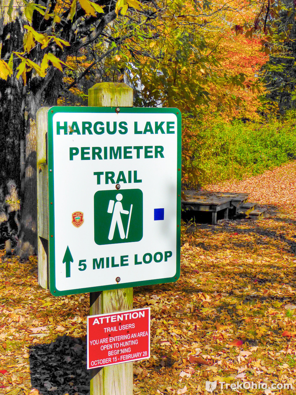
And shortly after that another sign reassured us that we were still on the Hargus Lake Perimeter Trail.
Additional information
- TrekOhio: A.W. Marion State Park — This is our original write-up about the park, and it contains information on the park’s location and directions.
- TrekOhio: Pickaway County Parks & Nature Preserves — This is the county where the park is located; check out this page for links to the official website and for information on nearby parks and preserves.
More on Central Ohio