History and Lore
Moonville was a coal-mining town founded in the middle of the nineteenth century in Vinton County. Its population peaked in 1870 when about 100 people lived there, after which it declined. The last family in Moonville left in 1947. Moonville’s nearest neighbor was the town of Hope, but even Hope was many miles away. To connect the two towns a railroad was laid. During the course of its construction, it was also necessary to build bridges over creeks and to excavate Moonville Tunnel to pass through a nearby hillside.
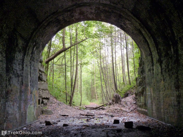
Years have passed since both Moonville and Hope were abandoned. The buildings are gone, and even the tracks for the railroad have disappeared. All that remains of Moonville is a cemetery and Moonville Tunnel. The abandoned tunnel is now located within Zaleski State Forest.
There are many, many places in Ohio that are said to be haunted. If you fire up your favorite search engine and look for “Ohio” and “haunted,” you’ll find hundreds of stories. When I tried this at Google, the search engine returned 559,000 results. If you wander into a local bookstore, you are likely to find a number of books about Ohio’s haunted places.
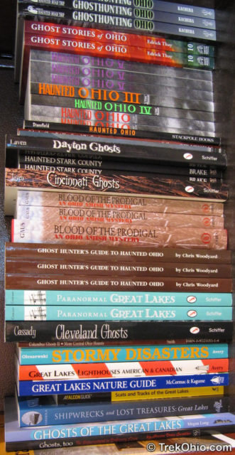
If I do another web search and add the search term of “Moonville” to “Ohio” and “haunted,” I still get an impressive 11,400 results. I have included links to a few websites describing Moonville’s supernatural history in “Additional information” at the end of this article.
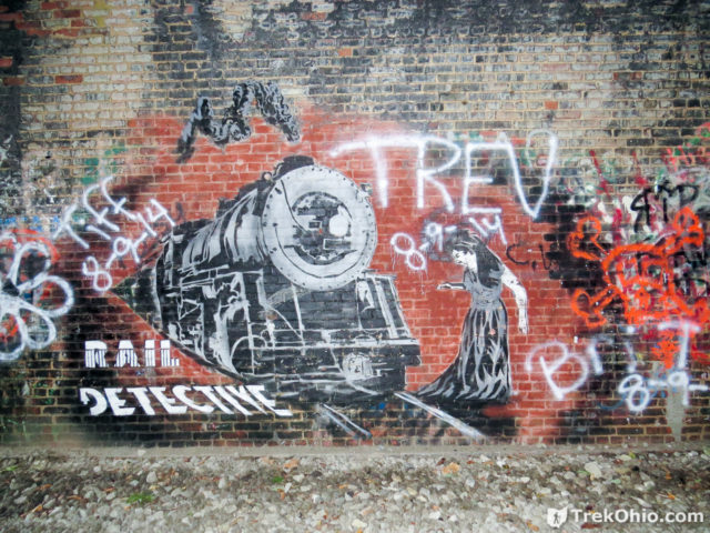
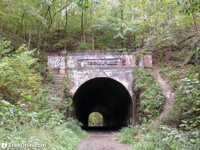
I think the abandoned town’s unusual name, Moonville, contributes to the area’s spookiness. However, there are supposedly a number of tragic accidents associated with the old railroad. Five or six people have been killed when struck by a train while walking on a bridge or in a tunnel. There is graffiti within the tunnel which portrays one of these incidents.
However at TrekOhio, we are all about hiking, so for the remainder of this article I’m going to focus on the trails and the natural setting of Zaleski State Forest in the vicinity of Moonville Tunnel.
Getting oriented
There are still a couple of ways to hike to Moonville Tunnel: either park near the trailhead for the Moonville Rail Trail and walk across Raccoon Creek on the new footbridge (about 500 feet to the tunnel), or park just off of Hope-Moonville Road near the spot where the road crosses Raccoon Creek and hike in on the Moonville High Water Trail (about a quarter mile to the tunnel). Below is a screenshot that shows a GPS trace of us hiking to the tunnel via the Moonville High Water Trail (the top, vertical red path). The horizontal, red path shows the portion of the Moonville Rail Trail that sits between two stream crossings (on the left, Raccoon Creek, and on the right, Hewett Fork). The distance between the two stream crossings is a little less than a half mile. I also added a dark blue marker showing the driveway to the new parking lot for the Moonville Rail Trail, and a dark blue path showing the route to the new footbridge.
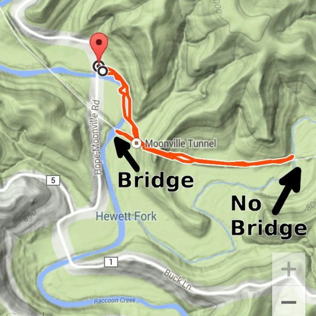
Below I’ll discuss getting to the tunnel via the Moonville Rail Trail, followed by a description of hiking on the Moonville High Water Trail to the tunnel.
The New Footbridge to the Tunnel on Moonville Rail Trail
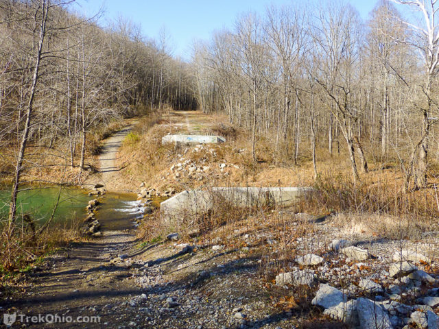
Until late 2016 if you tried to approach the tunnel via the Moonville Rail Trail, you had to wade across Raccoon Creek. Although you could still see the pylons that used to support the old railroad trestle, there was no bridge. For old time’s sake, here’s a couple of photos showing what that crossing was like.
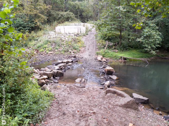
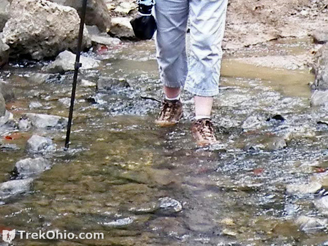
But as of late 2016 visitors can just sashay across Raccoon Creek on the new footbridge. It was built on top of the pylons that used to support the railway trestle.
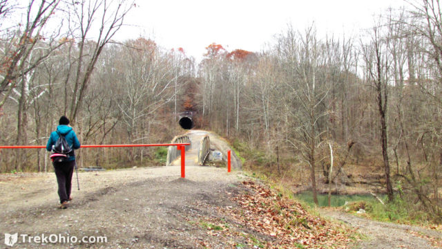
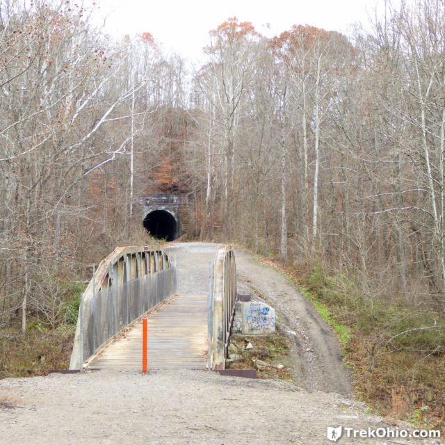
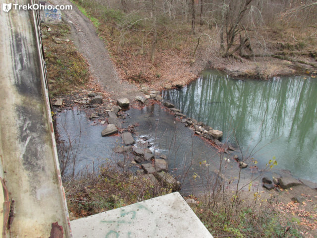
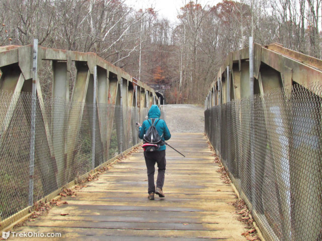
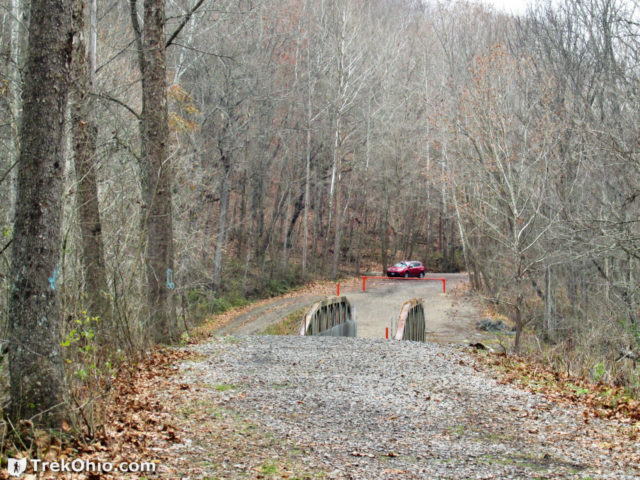
In addition to the new footbridge, there is a parking lot for visitors at the start of the Moonville Rail Trail. Below I’m looking back at the parking lot after crossing the footbridge. As you can see, the height of the bridge is a lot lower than the land on either side of it.
And for comparison, this is what it was like looking back across Raccoon Creek before the new footbridge and parking lot.
The Tunnel Itself
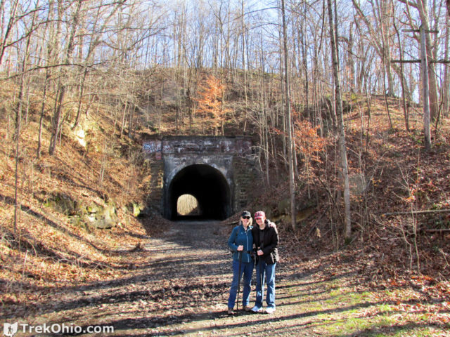
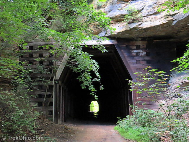
Below are a couple of photos showing the mouth of the tunnel in different seasons.
Moonville High Water Trail
If you want to go the tunnel via the Moonville High Water Trail, you will find limited off-road parking near the bridge pictured below on the Hope-Moonville Road. Note that it’s a dirt road.
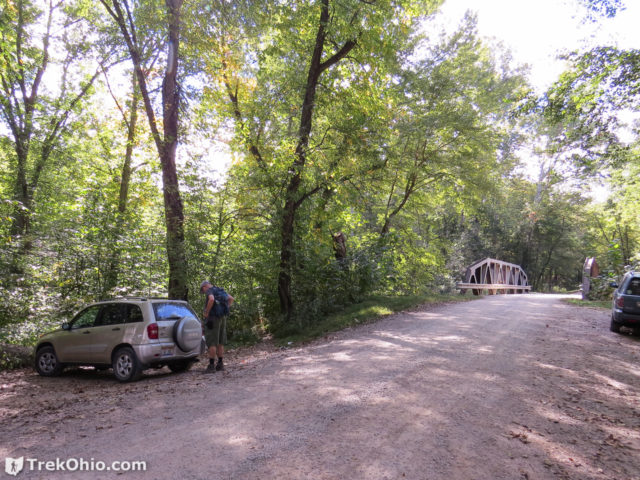
When looking toward the bridge shown above, the trailhead is to the left.
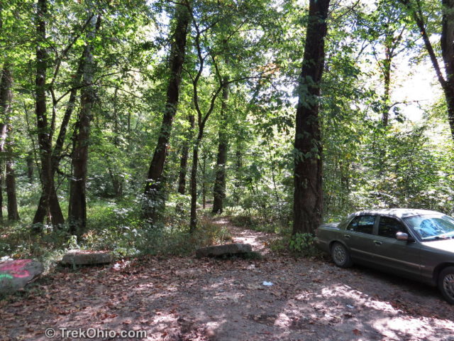
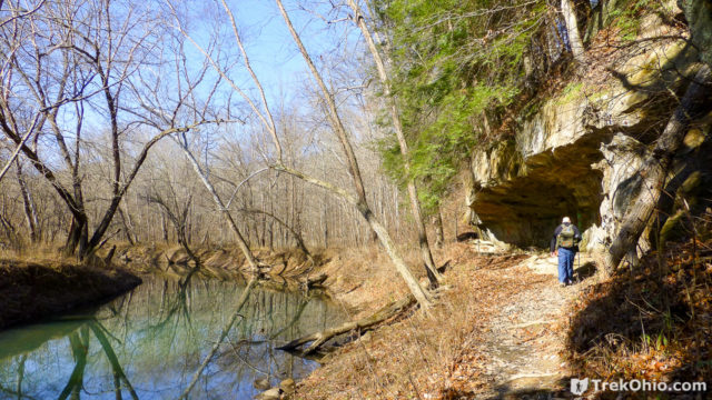
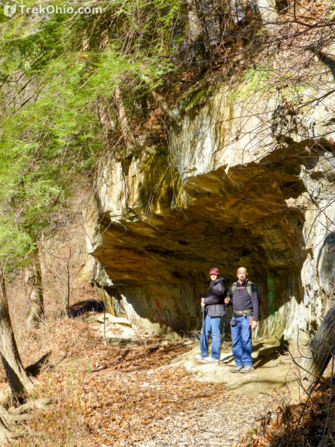
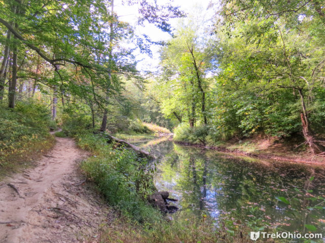
It is a short and pleasant hike to the tunnel with much of the hike next to Raccoon Creek. The trail passes by the rock shelter pictured below.
Hiking Beyond the Tunnel on the Moonville Rail Trail
After exploring the tunnel, if you like you can continue following the Moonville Rail Trail to Hewett Fork. Since it is rail trail, the path is level with hills to your left and lowlands to your right. As you draw near Hewett Fork you might catch a glimpse of cliffs to your left if you go while the leaves are off the trees. To your right you will see a plain that’s quite a bit lower than the rail bed.
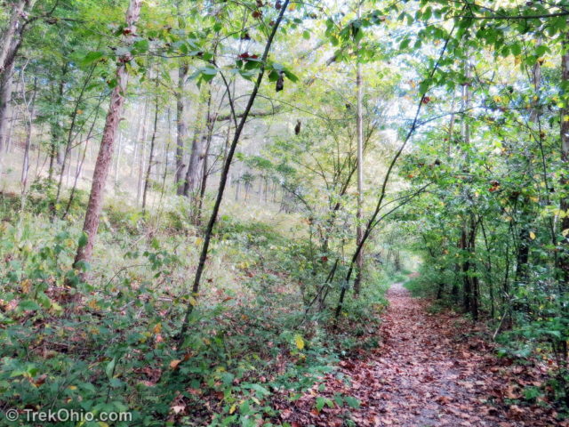
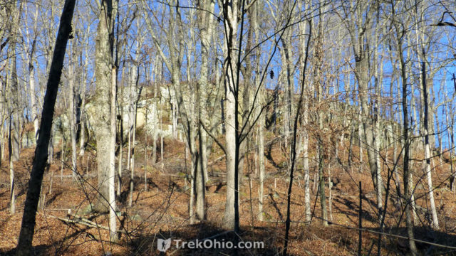
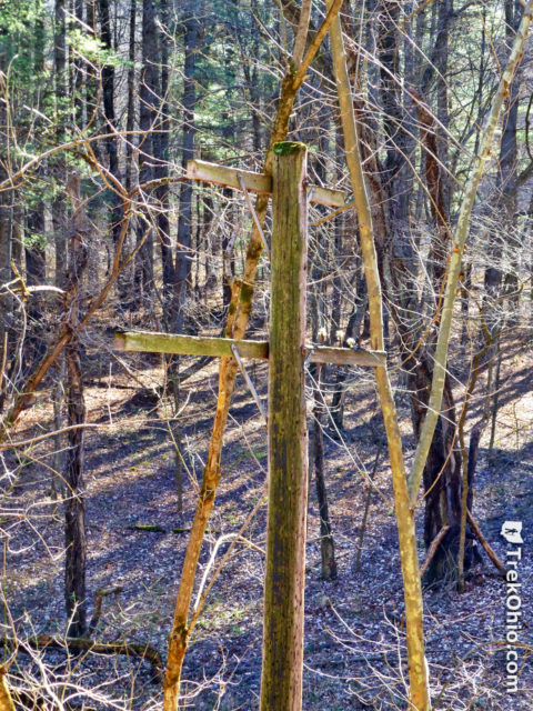
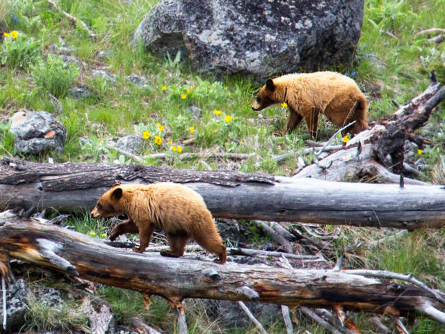
I included the above, not-so-picturesque photo of the low area beside the rail bed because it is the only place in Ohio where we’ve spotted bears while hiking. We caught sight of the rumps of two cinnamon-colored, black bears running away from us on this plain. The bears were out of sight before I could get my camera ready, but it was fun seeing them (especially since they were running away from us). Since I don’t have a photo of them, I’m including a photo below of similar bears that was taken by Neal Herbert of the National Park Service.
There is no bridge at Hewett Fork, so if you wanted to continue on you would have to wade across it.
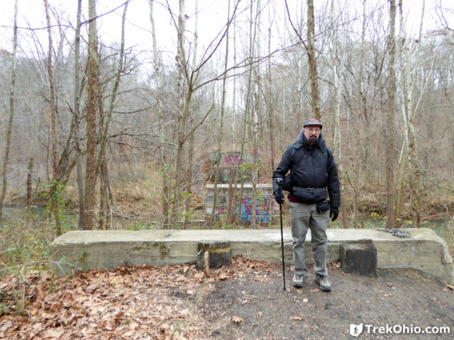
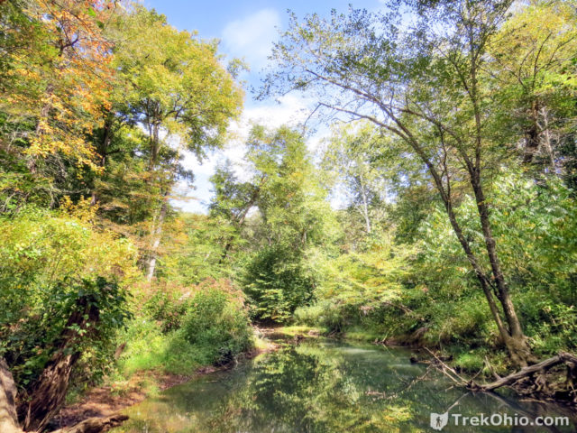
It’s quite a distance away, but if you kept going you would eventually reach another old railway tunnel in Zaleski State Forest, King’s Hollow Tunnel.
Flora and Fauna
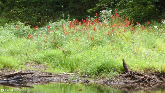
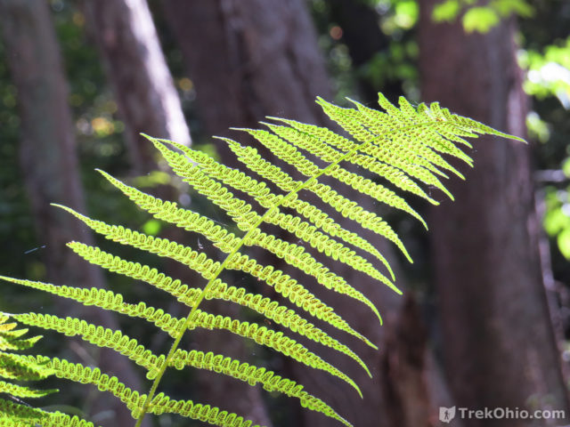
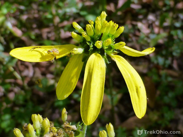
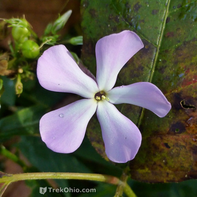
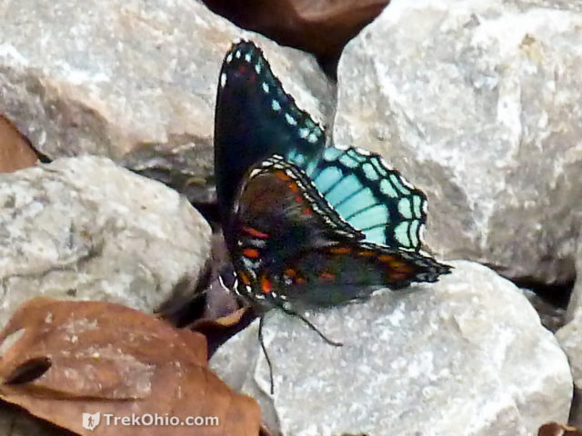
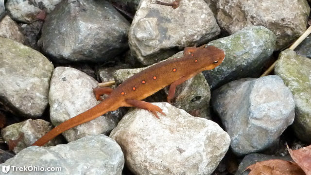
Although not as exciting as seeing a bear, here’s a look at some of the natural features of this area.




Additional information
- Trek Ohio: Vinton County — Moonville Tunnel is in Zaleski State Forest which is in Vinton County; check out this page for links to the official website for Zaleski State Forest. Our Vinton County page also provides information on nearby parks and preserves.
- TrekOhio: Our — Articles on Zaleski State Forest — Discusses trails and points of interest in Zaleski State Forest. However, I do want to point out a couple of particular sites of interest within Zaleski State Forest:
- TrekOhio: Zaleski State Forest: King’s Hollow Tunnel — Another tunnel in Zaleski State Forest on the same, former rail line as Moonville Tunnel.
- TrekOhio: Zaleski State Forest: Lookout Rock — This is just up the road a short distance from Moonville Tunnel.
- TrekOhio: Our articles on Lake Hope — Lake Hope State Park is next-door to Zaleski State Forest.
- Wikipedia: Moonville, OH — Describes the town’s history.
- Tales of Moonville Tunnel:
Location
- Directions to the General Area from Lake Hope State Park
- Take Park Road 1 to OH-278. Turn right (south) on OH-278. Turn left onto Wheelabout Road. Continue straight onto Shea Road. Continue onto Hope-Moonville Road which is a gravel road. Your destination will be on your left.
- Moonville High Water Trailhead
-
- Directions: After following the directions to the general area, you will come to the trailhead for the Moonville High Water Trail first. It is about 2.5 miles from the point where you left OH-278 until you arrive at this trailhead. There is limited parking right before the bridge on Hope-Moonville Road that crosses Raccoon Creek (pictured in this photo).
- GPS Coordinates: 39.310117, -82.324502
- Google Maps: View on map or get directions
- Closest access to Moonville Tunnel via footbridge
-
- Directions: If you want to park at the closest access point for Moonville Tunnel and walk across Raccoon Creek on the footbridge, when you come to the Moonville High Water Trailhead, don’t stop. Instead keep driving up the hill. You will come to a driveway for a large parking area on the left side of the road. It is a little over 2.6 miles from the point where you left OH-278 until you arrive at this trailhead.
- GPS Coordinates: 39.308436, -82.324529
- Google Maps: View on map or get directions
More on Vinton County
This has been the most informative and helpful post I’ve been able to find online regarding the moonville tunnel and accessing it. Thank you!!!!
Bears?! I’m planning backpacking trip to Zaleski (south loop) and the ranger assured me we didn’t have to worry about bears!