Bob and I had really wanted to explore the Rockhouse Trail, so we could view Turtlehead Cave. This past September we decided to make that happen by combining this trail with several others to come up with a loop hike that was about 5 miles in length. Our hike took us through a variety of different parks and preserves in quick succession. We began in Sells Park and passed through the Dale and Jackie Riddle State Nature Preserve, as well as the City of Athens Preserve Land until we came to Strouds Run State Park where much of our hike took place.

Getting oriented
The map below is a small piece of one published by the AthensTrails.org (while I write this, this web site is down). I have highlighted our hike in yellow. It begins in the lower left corner in Sells Park. We followed these trails:
- Athens Trail (0.95 miles)
- Rockhouse Trail (2.6 miles)
- White Oak Connector Trail (0.15 miles)
- Athens Trail (1.6 miles) for our return trip
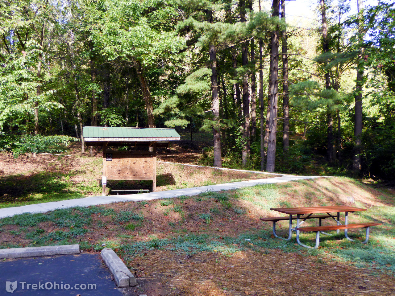
Upon parking at Sells Park, we were somewhat dismayed that the route straight up the hill was blocked, but the sidewalk to the left was open, and it leads to the same place, Sells Pond. In addition it passes by the park’s kiosk.

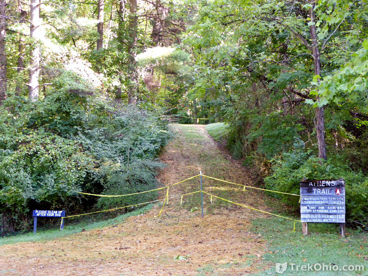
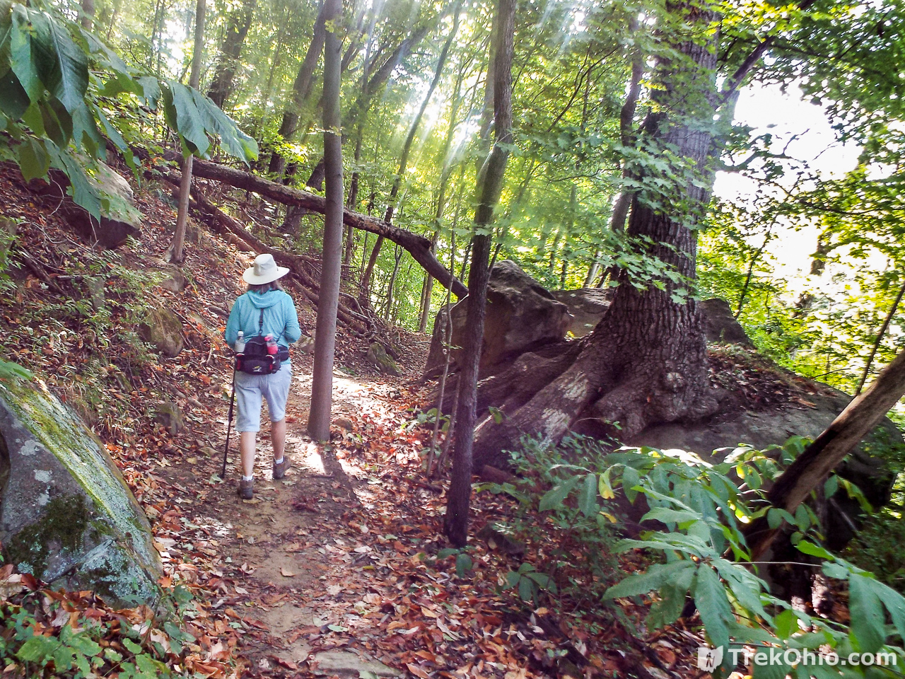
The sidewalk soon empties into a a more traditional, dirt hiking trail. We followed the Athens trail up and to the north until we turned off onto Rockhouse Trail. While traveling on the Athens Trail note that the trail blaze is a stylized, red “A” like the one on the sign below.

Rockhouse Trail
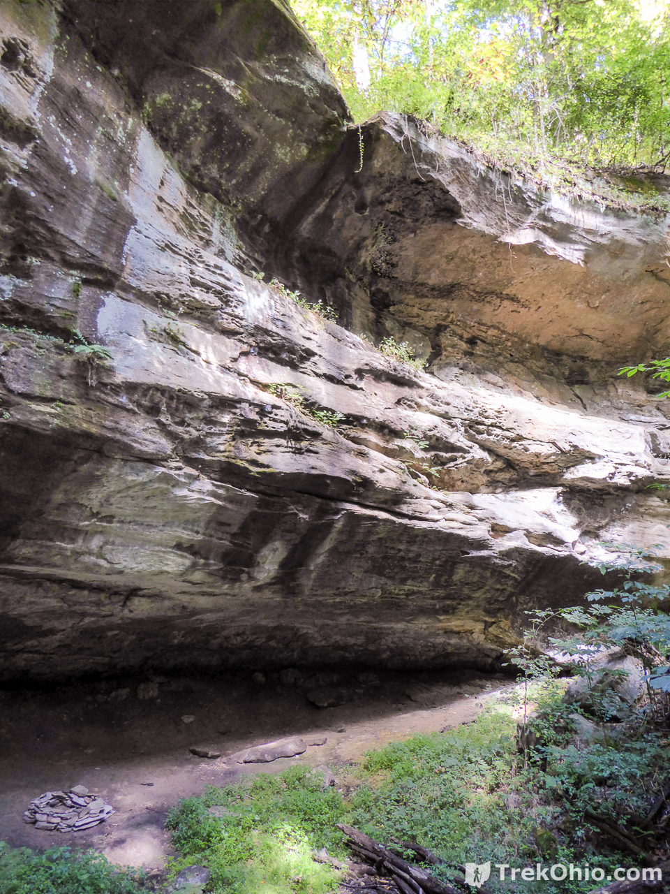
A rockhouse is a shallow, cave-like opening in a cliff or bluff. The layers of rock near the top of the cliff are made up of a hard, erosion-resistant rock, while the layers lower down are made of a softer, more easily eroded rock. When subjected to the forces of erosion, the bottom rock wears away at a faster rate than the top, which leaves a large, cave-like depression in the side of the cliff. A rockhouse is also referred to as a recess cave, a rock shelter, a crepuscular cave, a bluff shelter, or an abri. In Ohio rockhouses are typically found in sandstone cliffs.
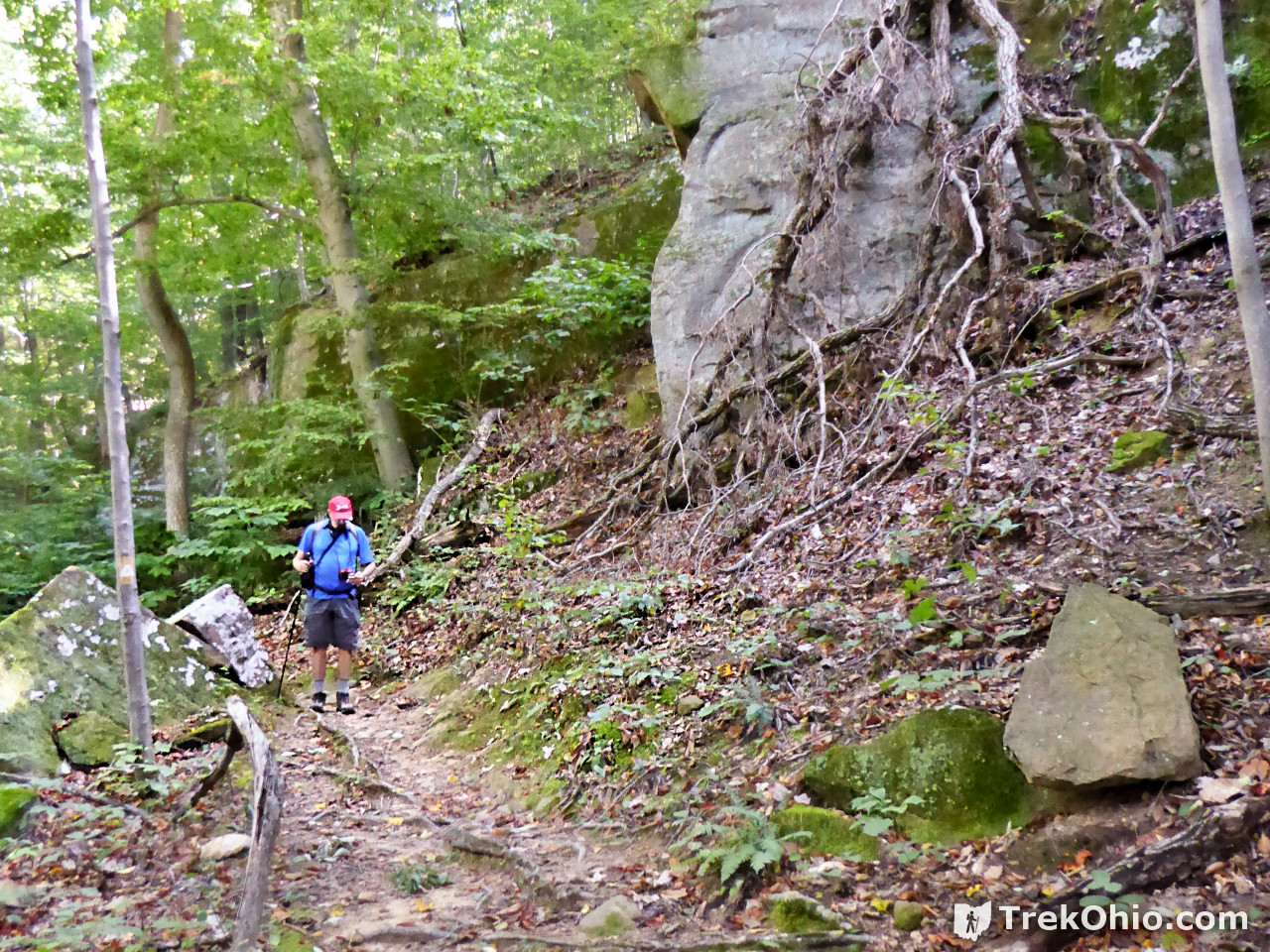
According to AthensTrails.org, Rockhouse Trail passes by four small rockhouses, and one large one. You’ll notice in some of the photos of cliffs in this article, there is a small overhang of rock which makes it a rockhouse.
The blaze for Rockhouse Trail has a brownish/yellow center with a white border like the one pictured on the tree below. rockhouse

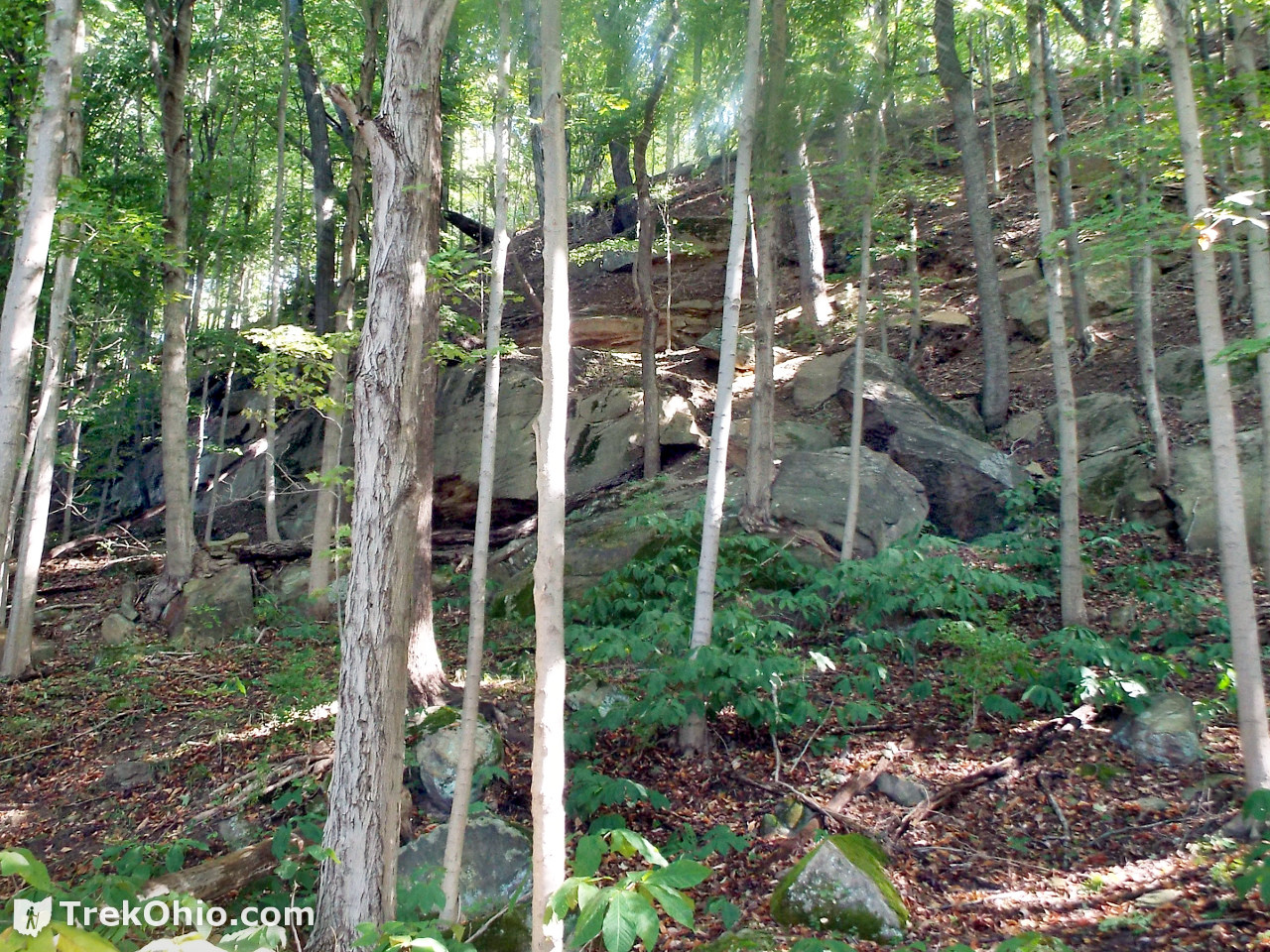
It wasn’t too long before we passed a region with a lot of exposed bedrock.
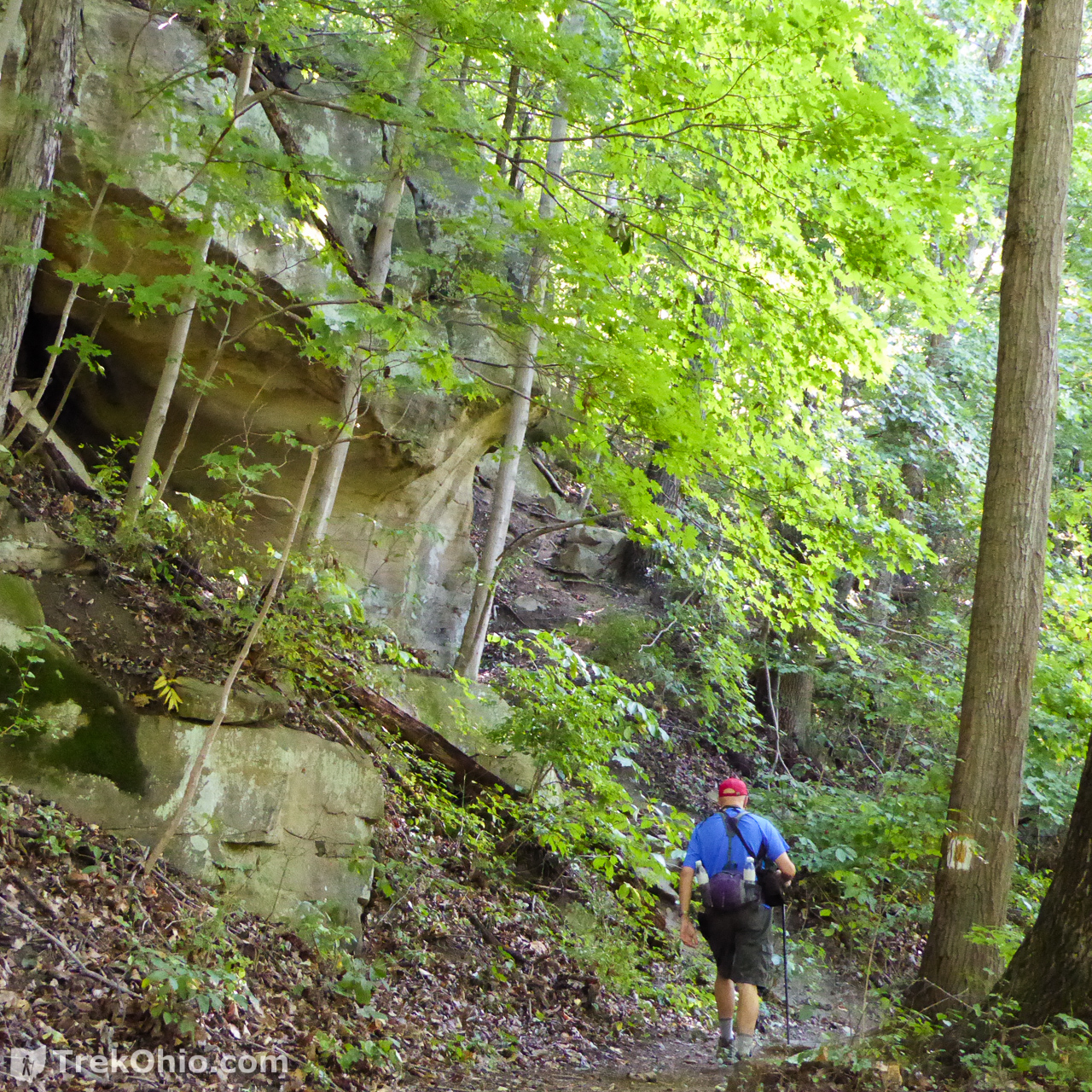
I know there is some landmark on this trail that is referred to as Window Rock, but I’m not sure what it looks like. However, I thought that perhaps the little mini-arch in this rock outcropping might be it.

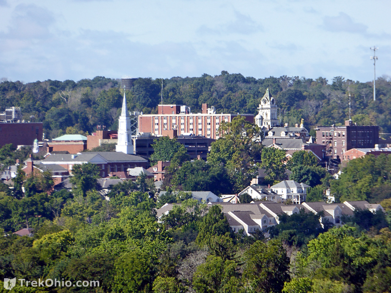
We soon passed through a clearing where we had a good view of the city of Athens. Using my telephoto, I snapped the photo below of Ohio University. As you might imagine, this is a hike where you can often hear traffic even if you can’t see it.
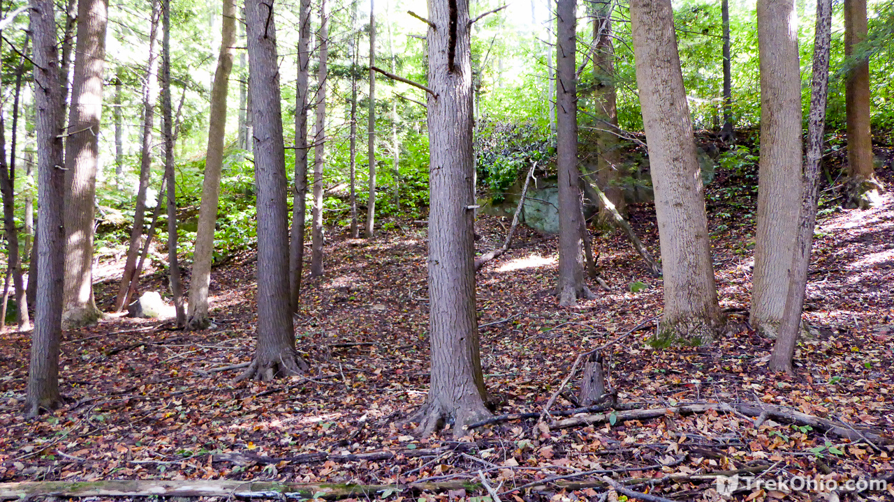
After the clearing we passed through another understory of Pawpaw trees.

Boulder Cove
One of the footbridges that we crossed had a sign on the banister informing us that we were passing through Boulder Cove. In this regions we passed some large slump blocks and a lot of boulders.
For the most part the footbridges had signs letting you know where you were. In the one below the sign is overhead, but others were on the bridge’s banister. If you bring a map along with you on your hike, you can use the signs to get a pretty good idea of where you are.

Crumley Grove
This region of the Strouds Run State Park has some of the oldest trees in the park, including the county’s biggest black oak. One of Ohio’s earliest state foresters, Dr. John Jackson Crumley (1863-1952), owned this land prior to giving it to the state of Ohio, and he is the one responsible for preserving this woodland. As a living memorial to him, the hemlock, white pine, Norway spruce, and bald cypress trees that you see in the grove were planted in his honor.
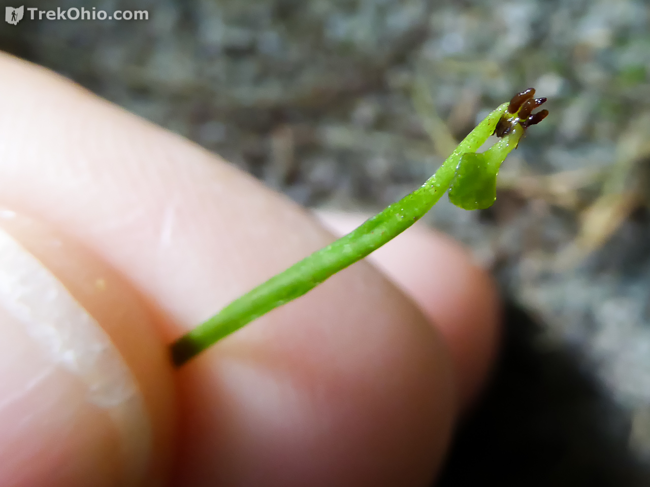
Shortly after viewing Crumley Grove, I happened to notice walking fern growing on one of the rocks that the trail passed. Most ferns have highly sub-divided fronds which give them a feathery appearance. However each frond of a walking fern looks like a long, but very narrow triangle. The ferns typically grow on mossy, alkaline rocks (like limestone).

The fern is said to be “walking” because at the far end of the fern, roots and a new little frond will emerge when the tip of the frond touches a surface on which it can grow. Each new fern that sprouts from a frond tip is a clone of the original. In the above photo can see that it has spread all over its rock.
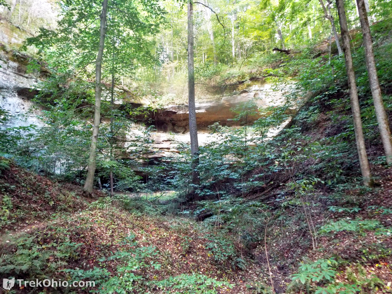
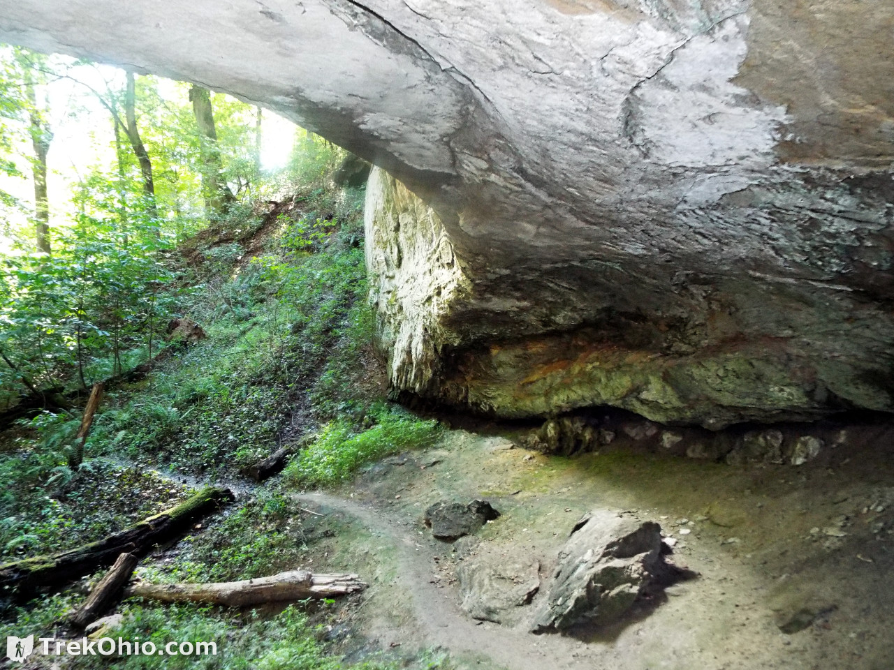
Turtlehead Cave
For us, Turtlehead Cave was the star attraction of the hike; it is one of the largest rockhouses in Athens County. Apparently it used to be called Blue Ash Rockhouse because it is near a small stream called Blue Ash Run.
An informative sign posted at the site describes how Turtlehead Cave was formed:
This rock shelter was formed mostly by frost action, not wind or running water. The harder Connelsville sandstone bluff at the top covered softer rock below it. The softer rock was gradually removed by cycles of freezing and thawing. Water soaking into the surface of the rock froze, and the expanding ice forced off rock pieces ranging from grain-sized to large slabs. The harder rock was left as an overhead roof. Running water only served to remove the soil overburden and decayed rock. Larger rock shelters such as Ash Cave may be seen in the Hocking Hills.
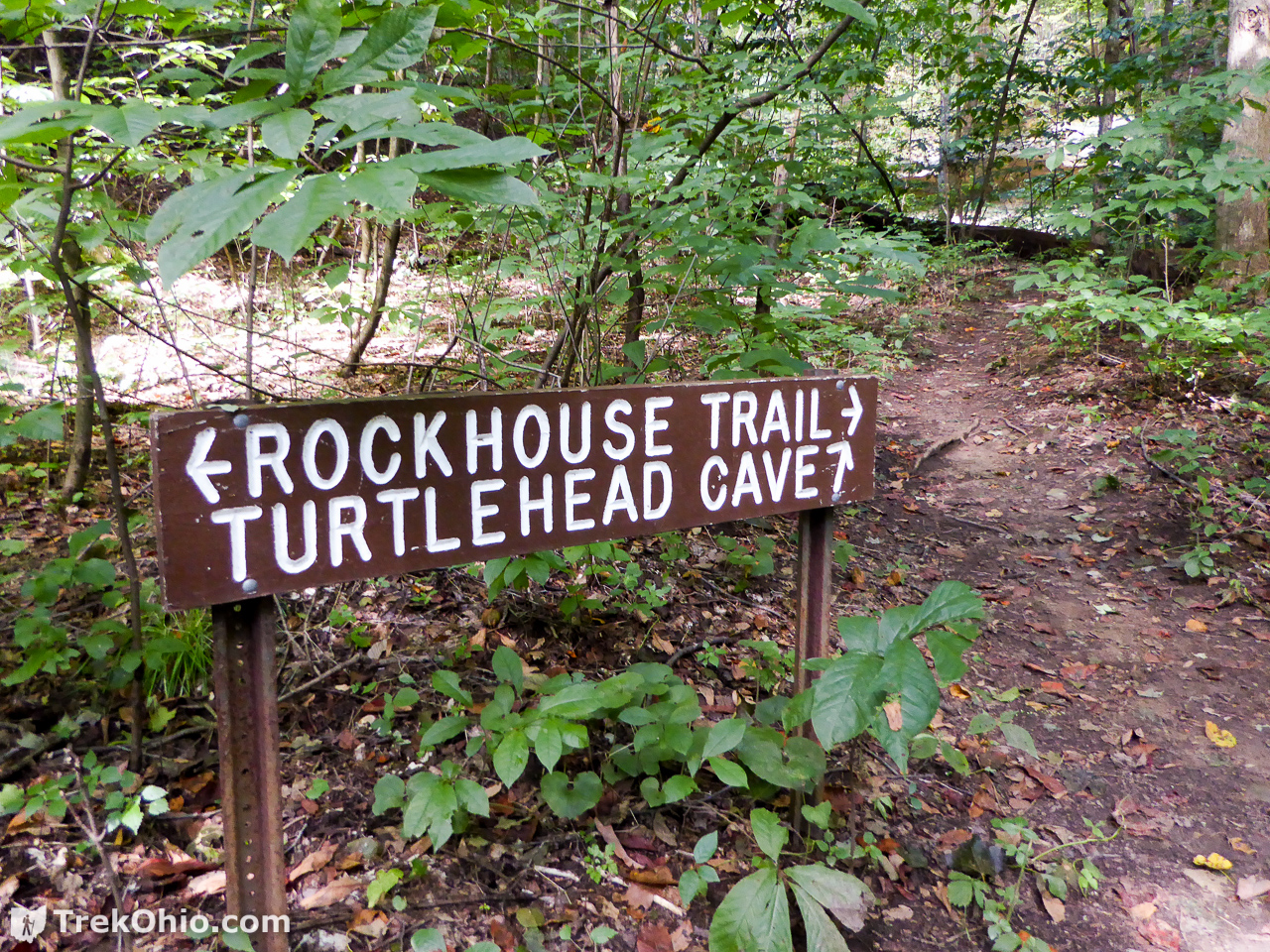
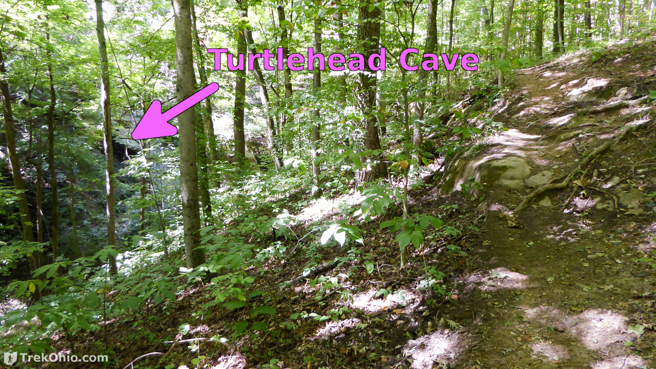
To view Turtlehead Cave, you need to take a short spur off of Rockhouse Trail when you see the sign below.
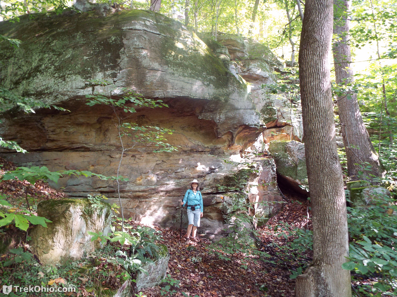
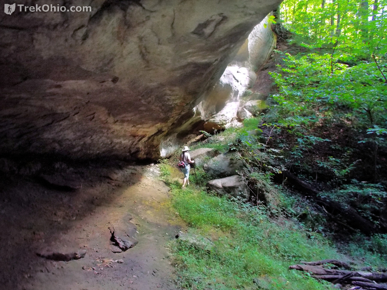
The short trail to Turtlehead Cave approaches the cave from the left. The rock formation that inspired the cave’s name is on the far right of the cave (it will be pictured later).
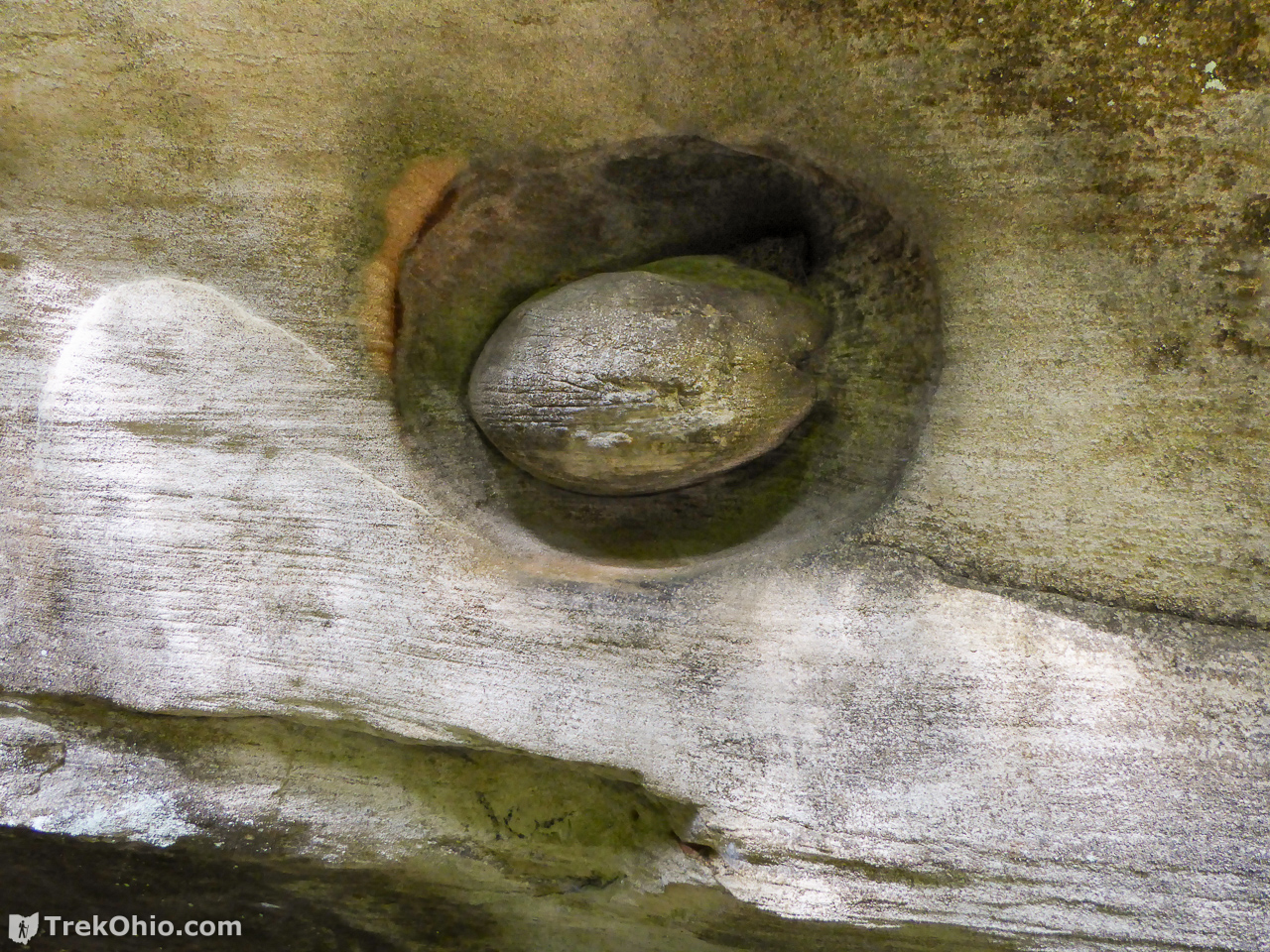
To see the rock formation that makes up the Turtlehead, you need to go up the “ramp” just beyond me in the following photo.
At last we see the “Turtlehead”. The round “head” formed because there was an area of dense, hard rock surrounded by softer rocks which has since eroded away. I was standing on a “ramp” next to the cliff at the same height as the formation when I took this photo.


We returned to Rockhouse Trail and continued a short distance till we reached the White Oak Connector Trail. This is a very short trail that takes you up to the Athens Trail on Strouds Ridge. As you move up the White Oak Connector Trail toward the ridge, you can get a glimpse of Turtlehead Cave off to your left. If you go on this hike after the leaves have fallen, you would probably have a pretty good view from here.
Returning on Athens Trail
The return along the ridgeline was an easy and uneventful hike. We have discussed the Athens Trail in more detail in our post, Strouds Run State Park / Sells Park.
Additional Information
- TrekOhio: Athens County Parks & Nature Preserves — This is the county where Strouds Run State Park is located; check here for links to the official website and for information on nearby parks and preserves.
- TrekOhio: Strouds Run State Park / Sells Park — This is our overview of these parks.
- Wikipedia: Rock shelter — Also known as a recess cave, rockhouse, crepuscular cave, bluff shelter, or abri. Basically refers to a cliff in which softer rock at the bottom of the cliff has eroded away, while harder rock forming the top of the cliff remains. The result is a shallow, cave-like opening in the cliff with a ceiling of overhanging rock.
- Wikipedia: Walking fern
Location
See the directions for Sells Park in our earlier post, Strouds Run State Park / Sells Park.
More on Athens County
 Burr Oak State Park: Hiking the Upper Loop
 A Visit to the Ohio Pawpaw Festival
 Strouds Run State Park / Sells Park
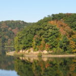 Burr Oak State Park