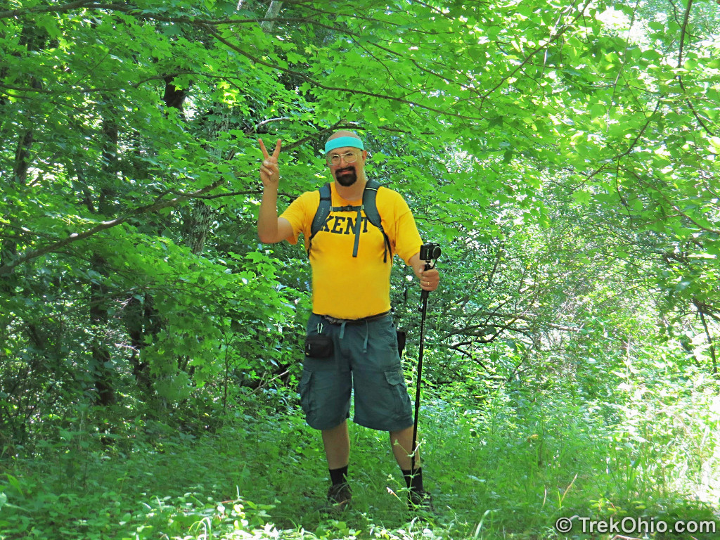
At 320 acres Gifford State Forest is the smallest state forest owned by the Ohio Department of Natural Resources (ODNR). The sign at the trailhead suggests that there are a total of 4.7 miles of trail. We hiked most of those miles this past July, and here’s our report as to what they’re like.
Getting oriented
Below is a tracing I made of the trail map provided in ODNR’s brochure for this state forest. As you can see the trail is north of State Route 377 between McConnelsville and Athens. The trails appear to offer two points of particular interest: a vista and something called “Indian stone.” Neither the brochure nor the official website describe what this “Indian stone” is, and while doing the hike we either missed the stone, or saw it without recognizing its significance.
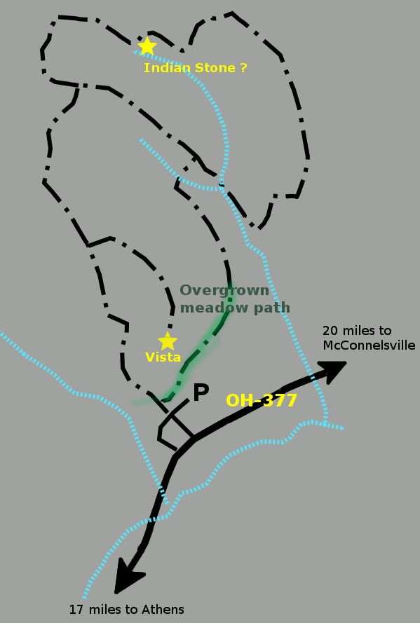
And for comparison’s sake, here’s a GPS trace of our actual hike. As you can see we just did the outer loop and skipped one connector trail between a northern and southern segment of the loop. Beyond that you can see that the northwestern corner of the GPS trace looks somewhat different from that trails as laid out in the official map.

We hiked 3.5 miles with our total gain in elevation amounting to 1498 feet.
The Hike
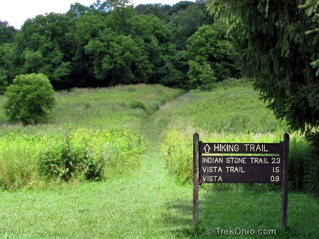
Because we wanted to see the Vista near the beginning of our hike, we chose to hike the outer loop in the clockwise direction. This meant that when we reached the first fork in the trail that we needed to go left. However when we did so at the first fork that we recognized, this actually took us down an “unofficial” trail and off the trail map. It turns out that the first fork was invisible because it was supposed to be a junction between mown paths in the meadow near the parking lot, but only one of the paths had actually been mown.
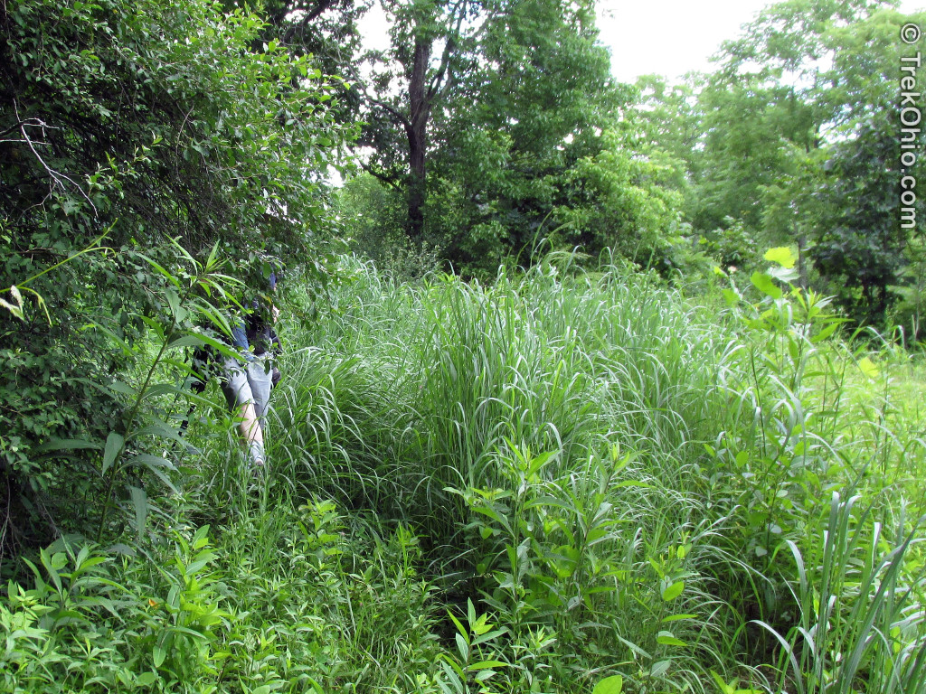
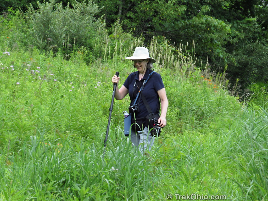
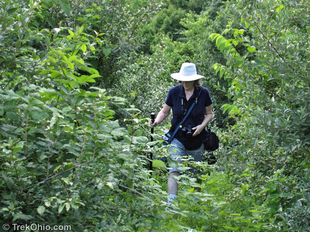
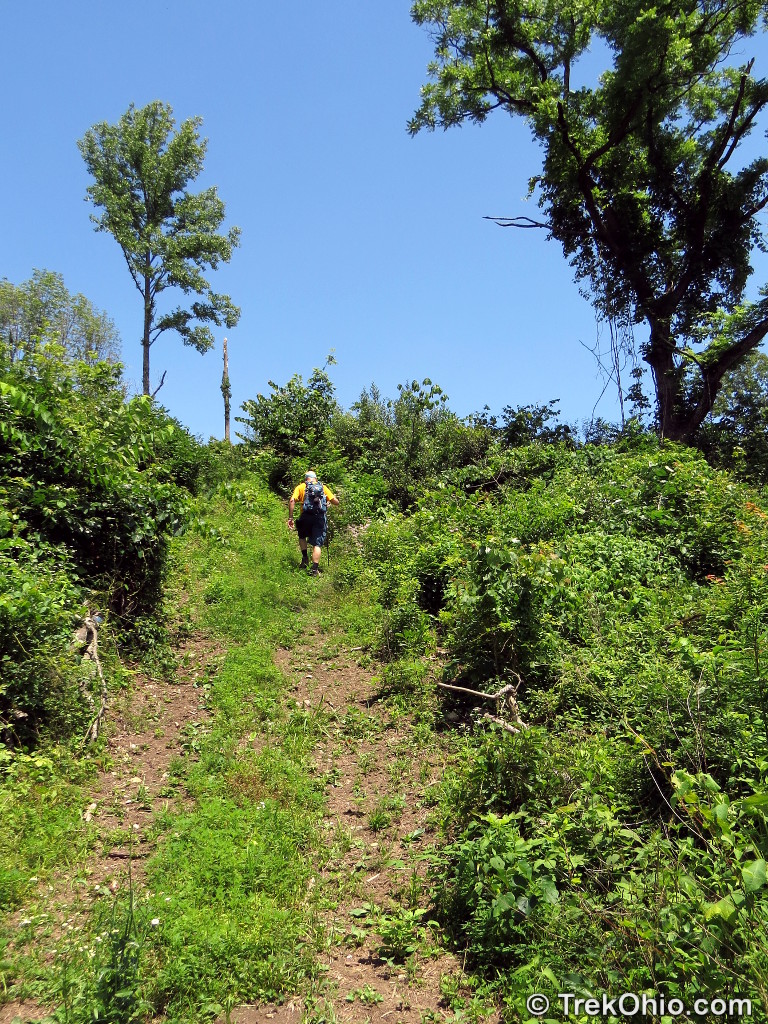
Below are a couple photos of me making my way through the meadow portion of the path at the end of our hike. You can see how overgrown the trail was.
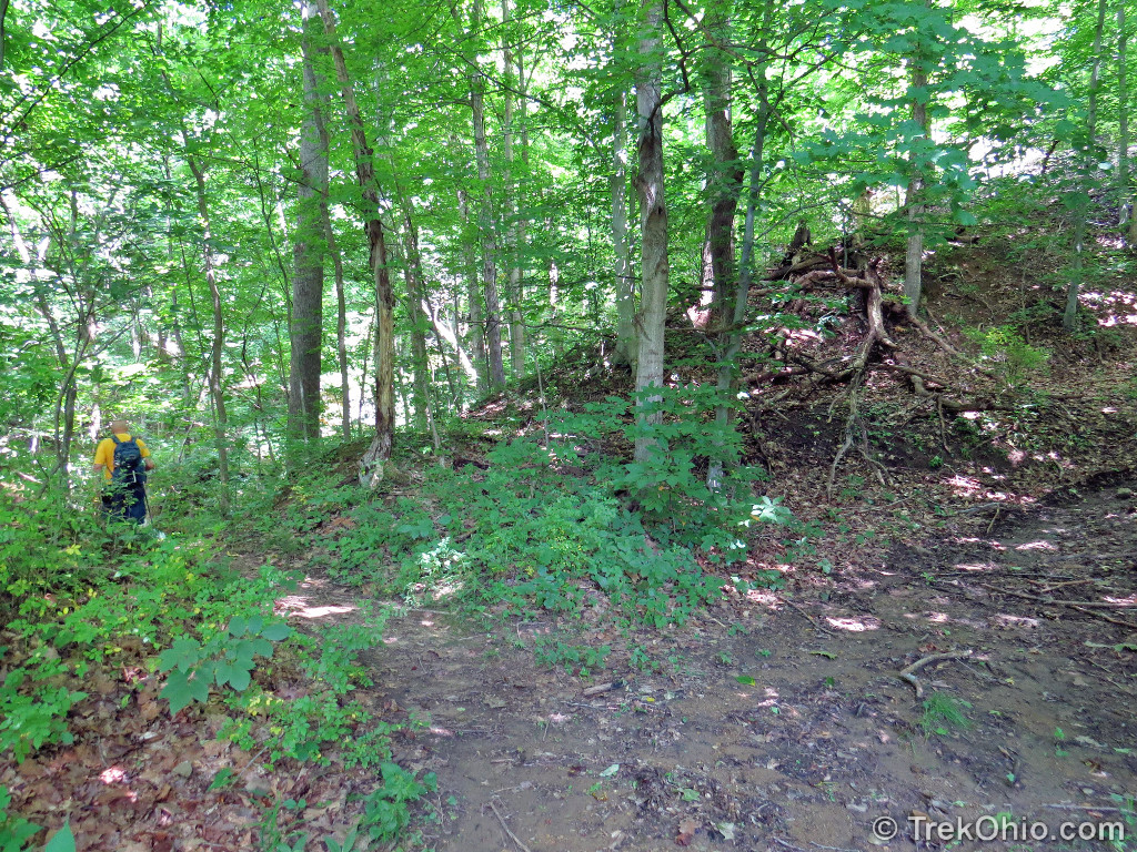
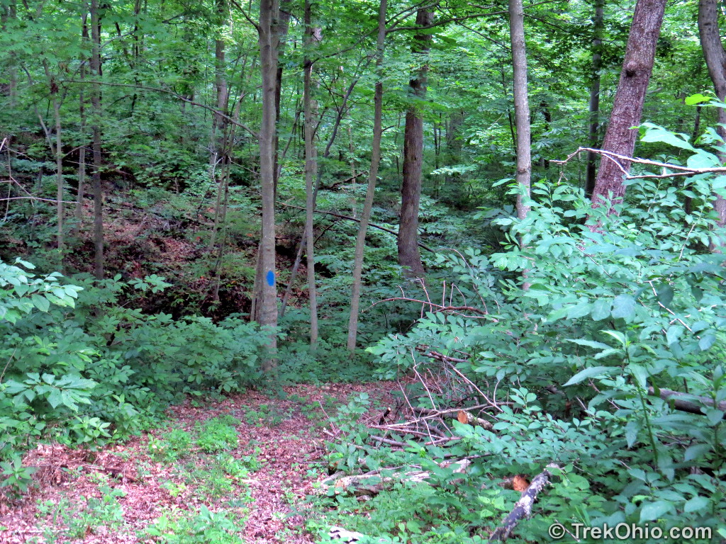
Not recognzing that the first junction in the trail map was in the field, the photo below shows a junction that we encountered shortly after entering the forest. There is a wide trail large enough for a vehicle going to the right, and a foot path heading towards the left. Below Bob is heading to the left on the footpath.
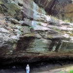
Although we unknowingly left the “Vista Trail” at this point, a number of slump blocks had slumped their way to the bottom of this hollow, and we enjoyed looking them over. However we soon realize that we had left the trail altogether, so we backtracked to the Vista Trail.

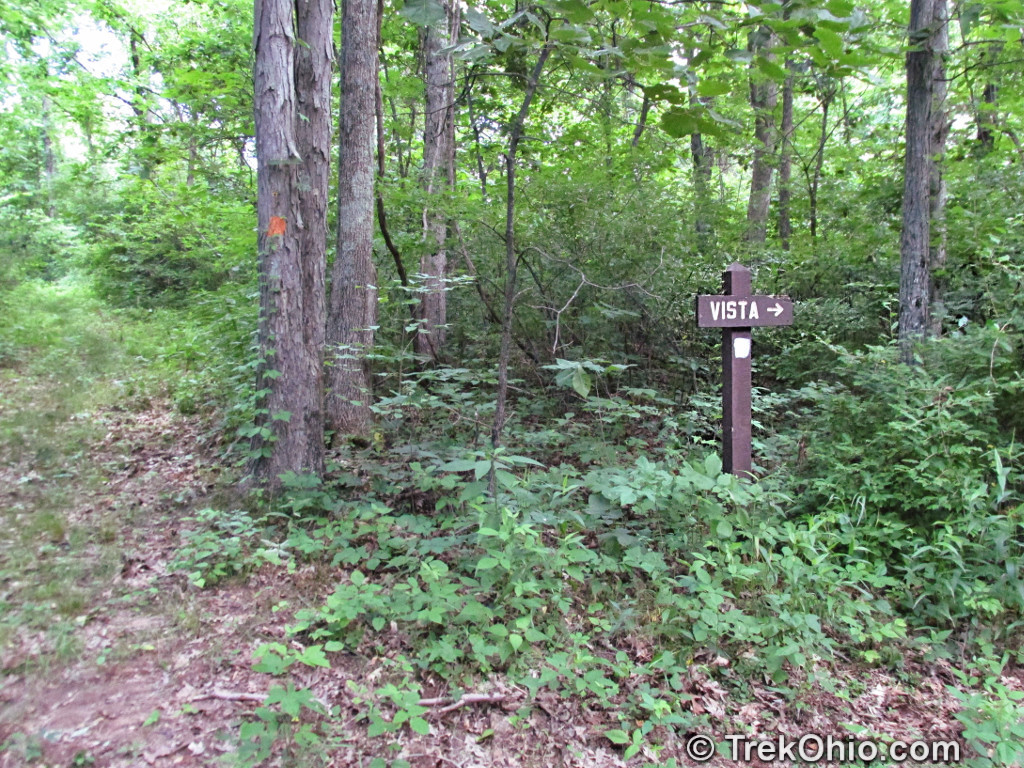
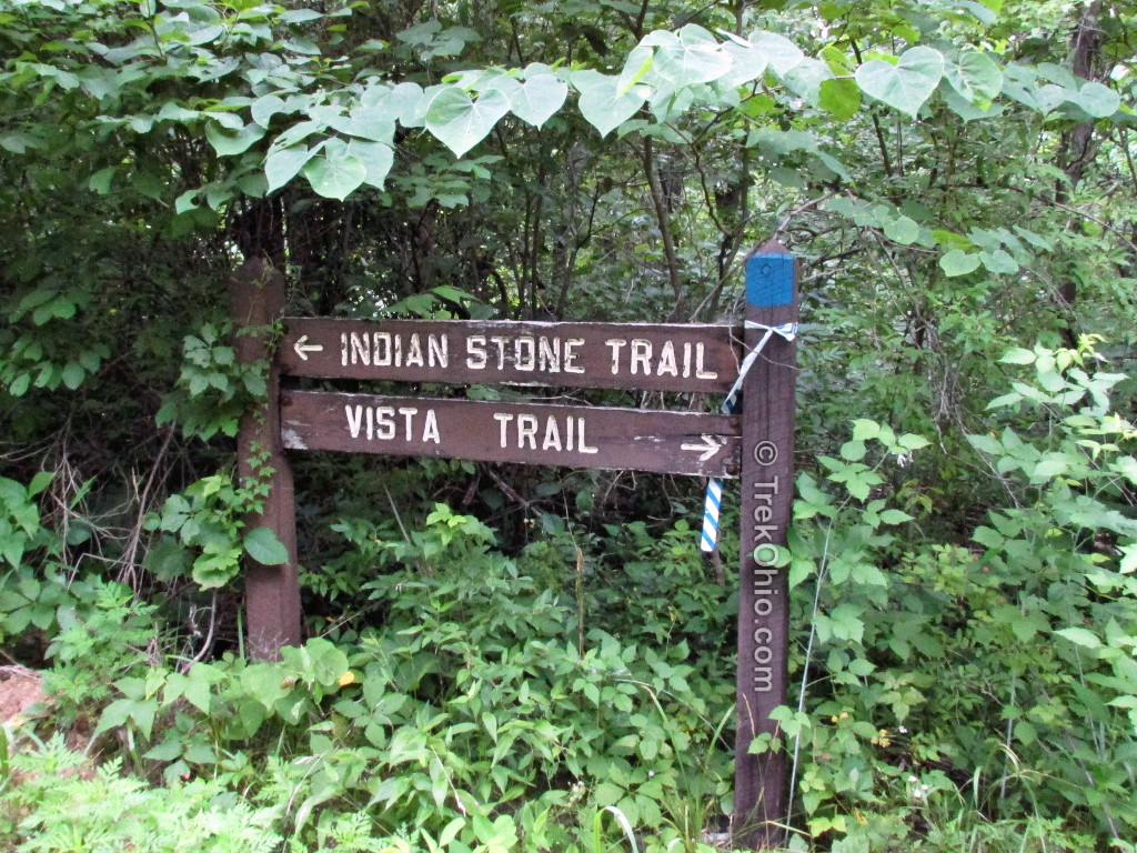
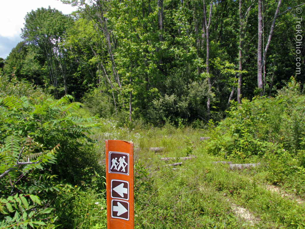
The really wide road was the “Vista Trail” which somewhat confusingly leads to another trail that’s simply called “Vista”. “Vista” follows a ridgeline to a point which according to topographical maps will overlook hollows all around it. Below is the sign pointing away.
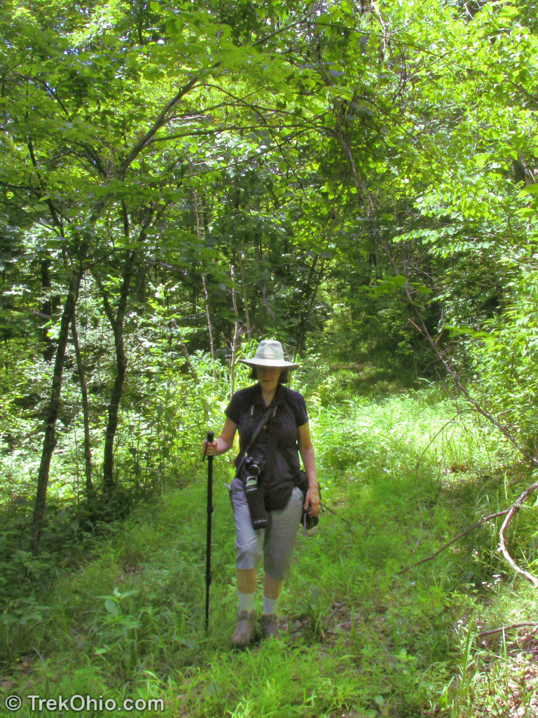
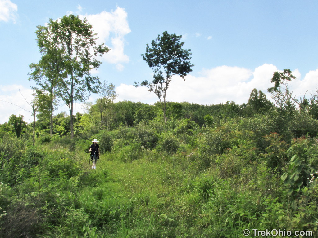
And below shows me on the way to the Vista.
To our surprise when we reached the end of the ridgeline and arrived at the vista, there was no vista there. Below is a photo of Bob at the end of the trail with the “vista” behind him.

Presumably there used to be a vista here, but the growth of the surrounding forest blocked off the view. We returned to the junction of “Vista Trail” and “Vista,” then continued northward on Vista Trail till we reached the junction between it and the Indian Stone Trail. Despite being on the lookout for something that might be the “Indian Stone” we didn’t see it. We weren’t really sure what it might look like since we didn’t encounter any description of it.
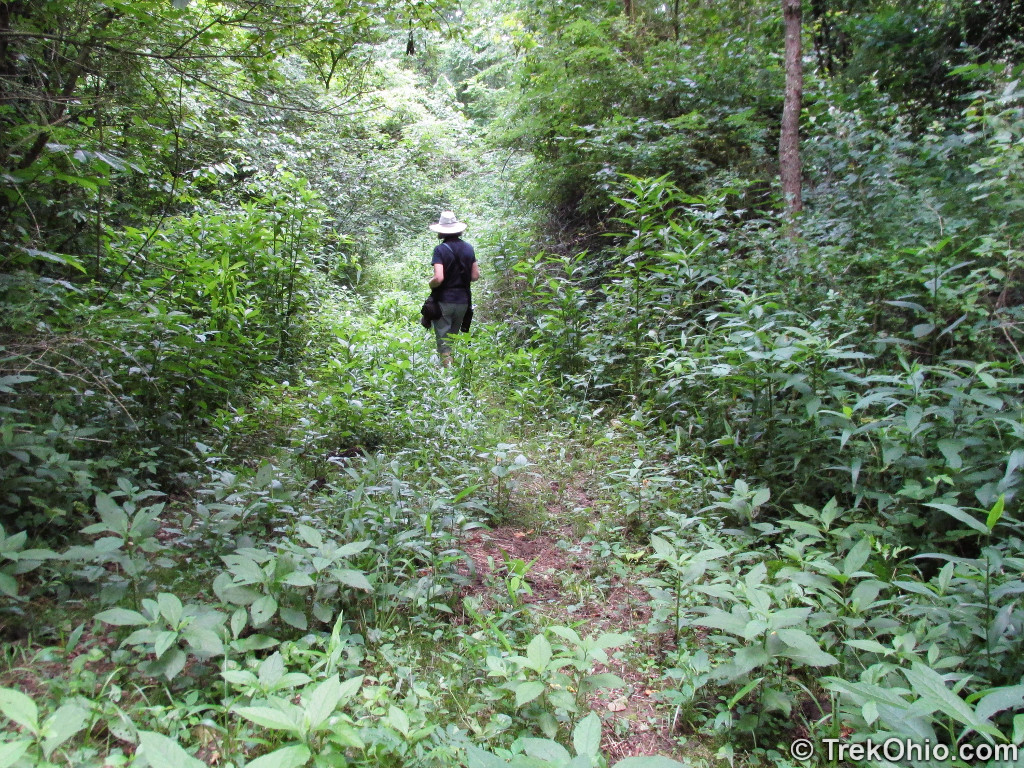
Crossing between ridgelines we went up a steep slope that was edged by blackberry bushes.
Once we got to the top of the ridgeline we went to the right to continue our clockwise hike around the outer loop.
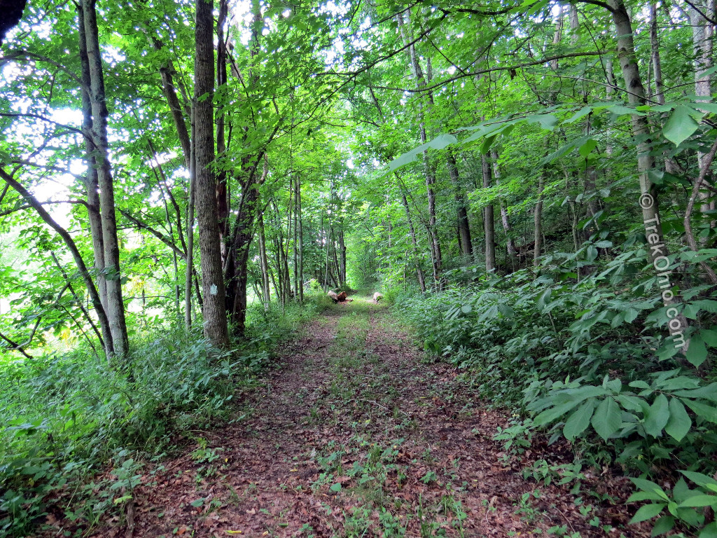
As made our way back toward the meadow where our hike had started, we ran into some pretty weedy areas of the trail.
Overall I like hiking in this kind of terrain, but it would seem that not many hikers visit here. While we were at Gifford State Forest someone was mowing the lawn around the parking lot and the path, but for some reason a decision has been made to stop mowing one branch of the meadow trail. If you decide to go during the summer, make sure you do a tick check afterwards. I would imagine that the trail is much easier to hike after the undergrowth has died back, but hikers need to be aware that this area is open to public hunting (for more information on when hunting season is, check out our posts on deer hunting and turkey hunting).
Butterflies
We saw a lot of Pipevine swallowtail butterflies during our hike, so many that I was reminded of the areas where butterflies gather in the Zelda videogames.
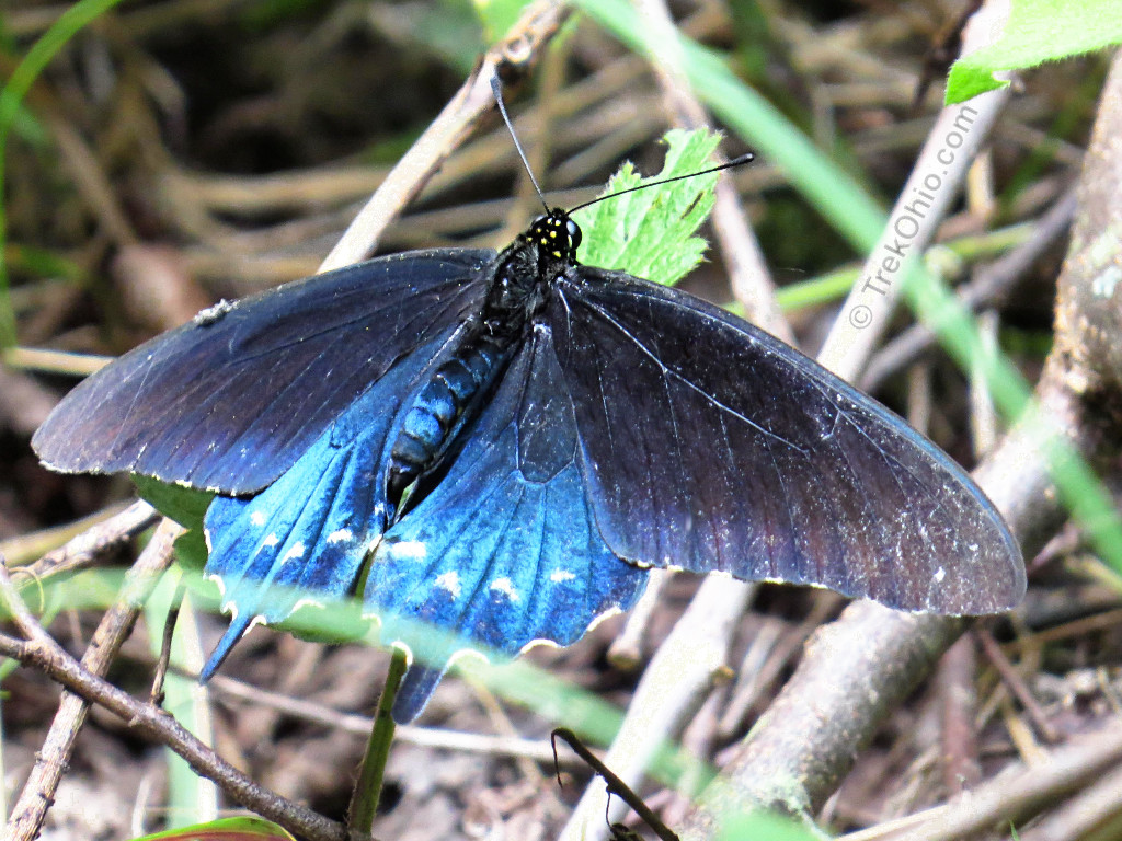
We also saw a number of other butterflies.

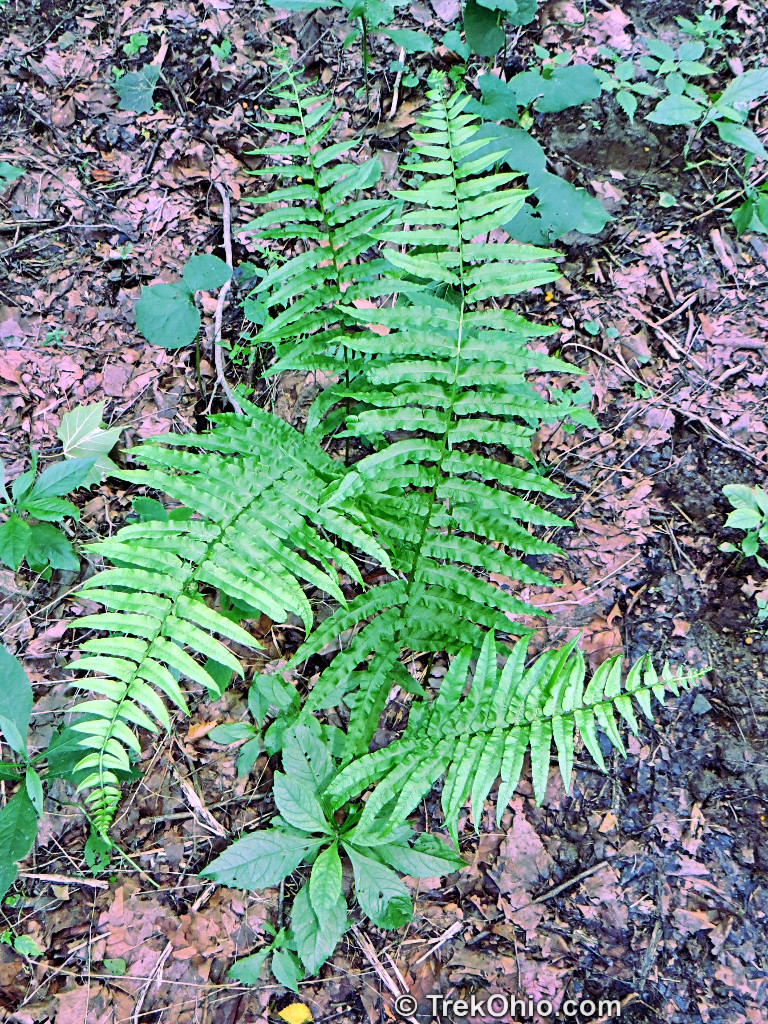
Plants
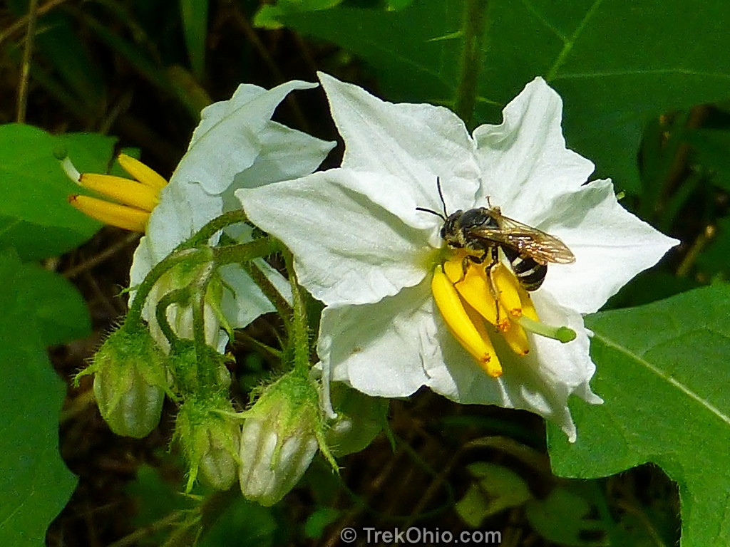
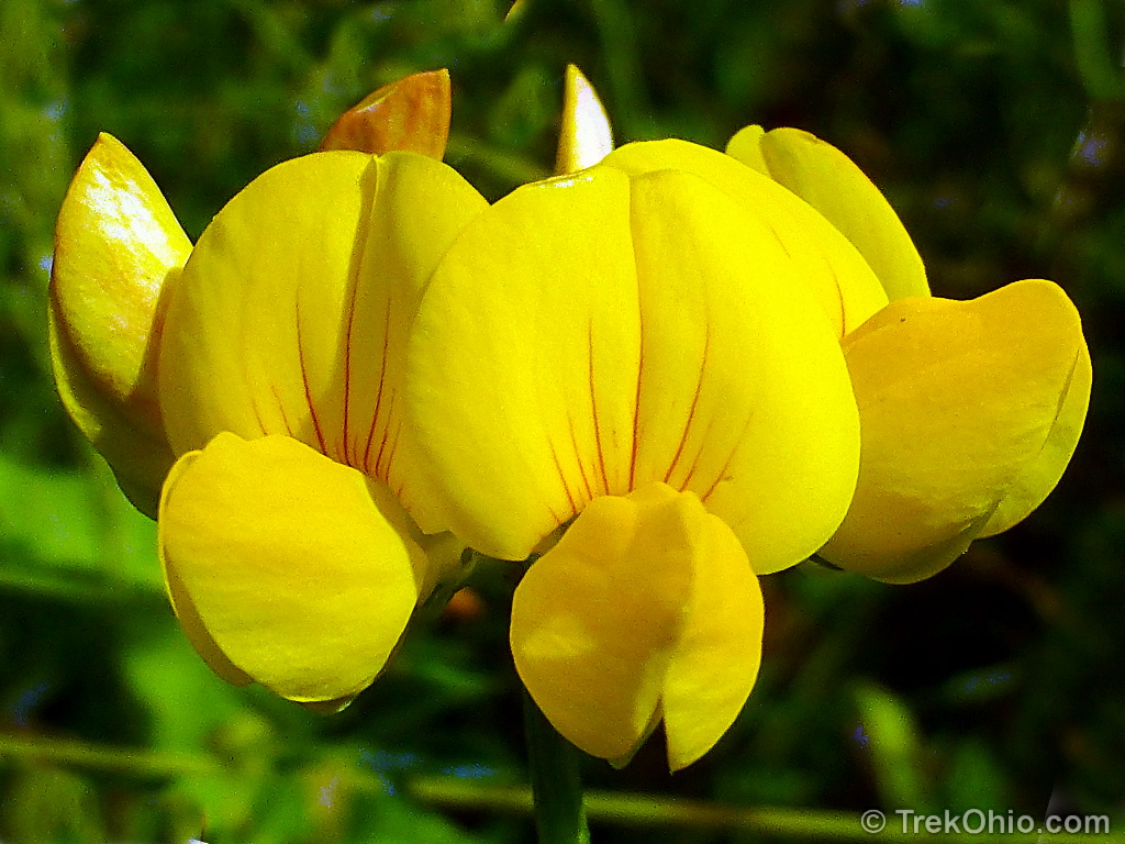
And as per usual I enjoyed looking at the summer flowers and ferns that we encountered during our hike. The fern below was a new one for me.
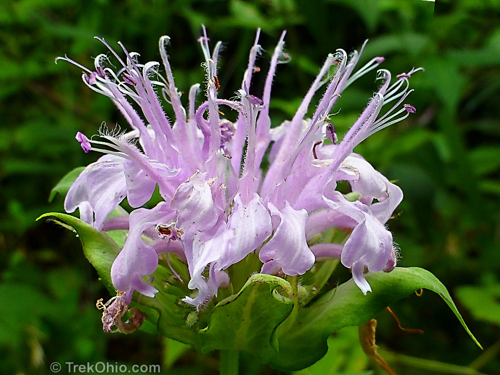
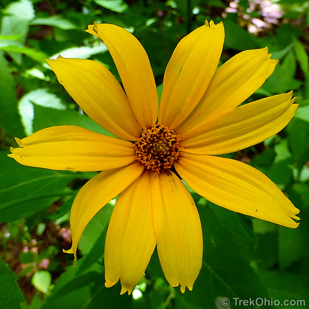
And here are a few of the flowers.

Additional information
- TrekOhio: Athens County Parks & Nature Preserves — this is the county where Gifford State Park is located. Check here for links to the official site and trail map.
Location
From US-33 take exit 13 and turns left onto OH-550 E/Columbs Rd. toward Amesville. Follow OH-550 for around 14.5 miles. Continue straight onto OH-377 N for about a half mile. The state forest will be on your left.
The driveway for the state forest is at GPS coordinates: 39.441893, -81.908142, and here is a link to the site’s location on Google Maps: http://goo.gl/maps/KS0J0. You can click the link to get directions to Gifford State forest from your point of origin.
More on Athens County
 Strouds Run State Park: Rockhouse Trail
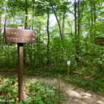 Wayne National Forest (Athens Unit): Wildcat Hollow
 A Visit to the Ohio Pawpaw Festival
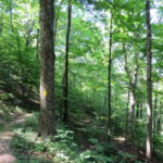 Burr Oak State Park: Hiking the Upper Loop
Lovely butterfly and flower photos… Very cool that you got to see so many pipevine swallowtails! 🙂
Thank you, Karen! It really was a treat to see so many of the pipevine swallowtails. It had a magical feel to it. 🙂