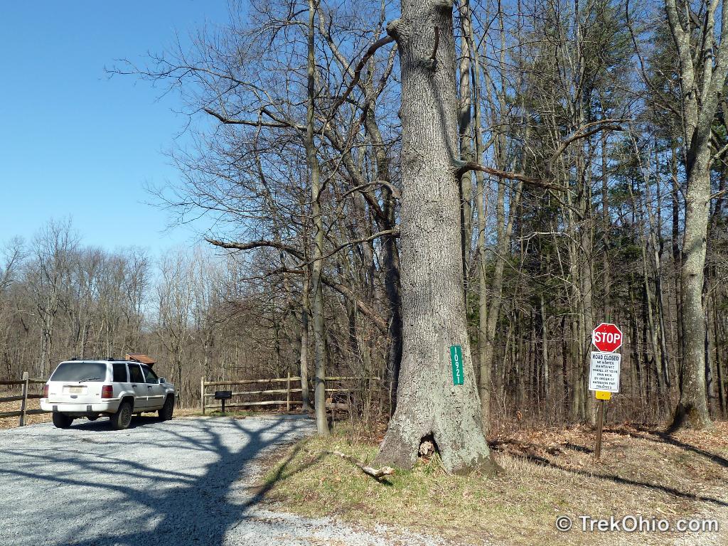
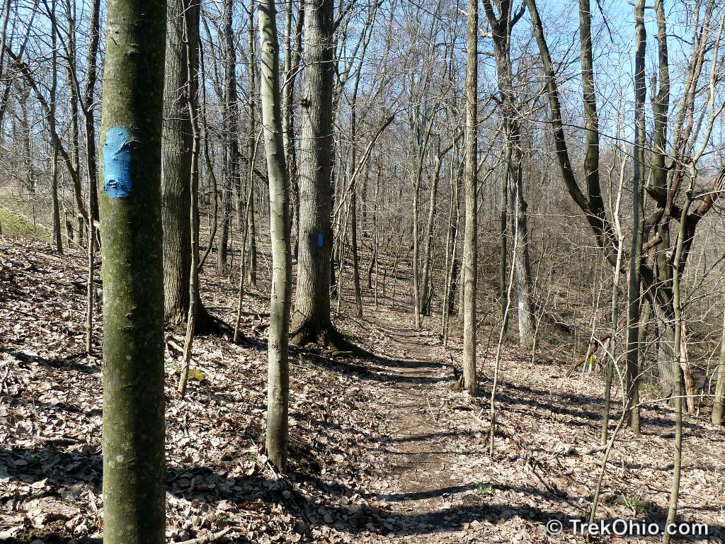
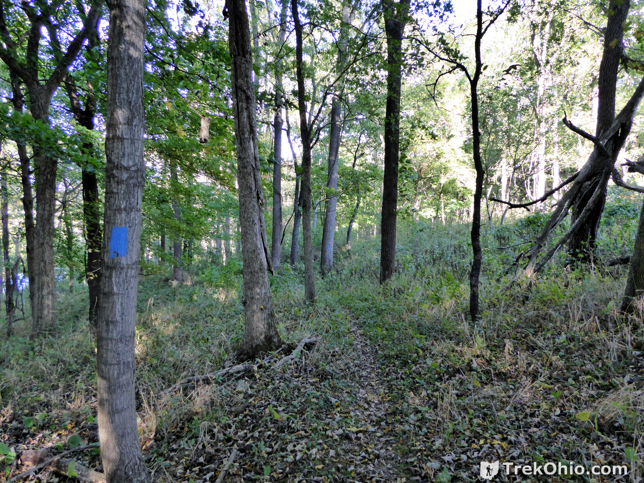
Indianfield Bluffs Park is a small, but scenic park in the Knox County Park District. It is 25.5 acres in size with a 1.5-mile, double loop trail. Since hikers will have to repeat sections of the trail if they walk its entire length, it ends up being a longer hike than that. The GPS trace for our hike at Indianfield Bluffs indicated that we had walked about 2.4 miles. The trail is marked with blue blazes. Pets are permitted in the park if they are kept on leashes and if the owner cleans up after them. Properly-licensed people may also go fishing here.
The park gets its name after a creek that runs through the park known as Indianfield Run. And the creek gets its name because the Native Americans who used to live here had cleared the land in this area to grow corn crops. Indianfield Run empties its water into the Kokosing State Scenic River within the park’s boundaries.
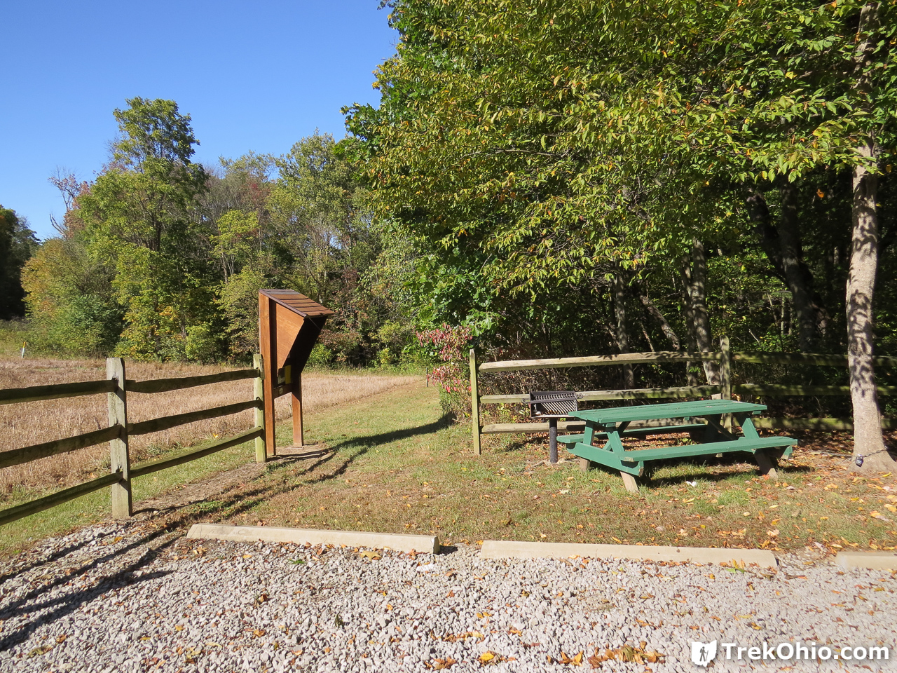
Getting oriented
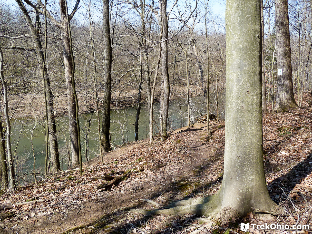
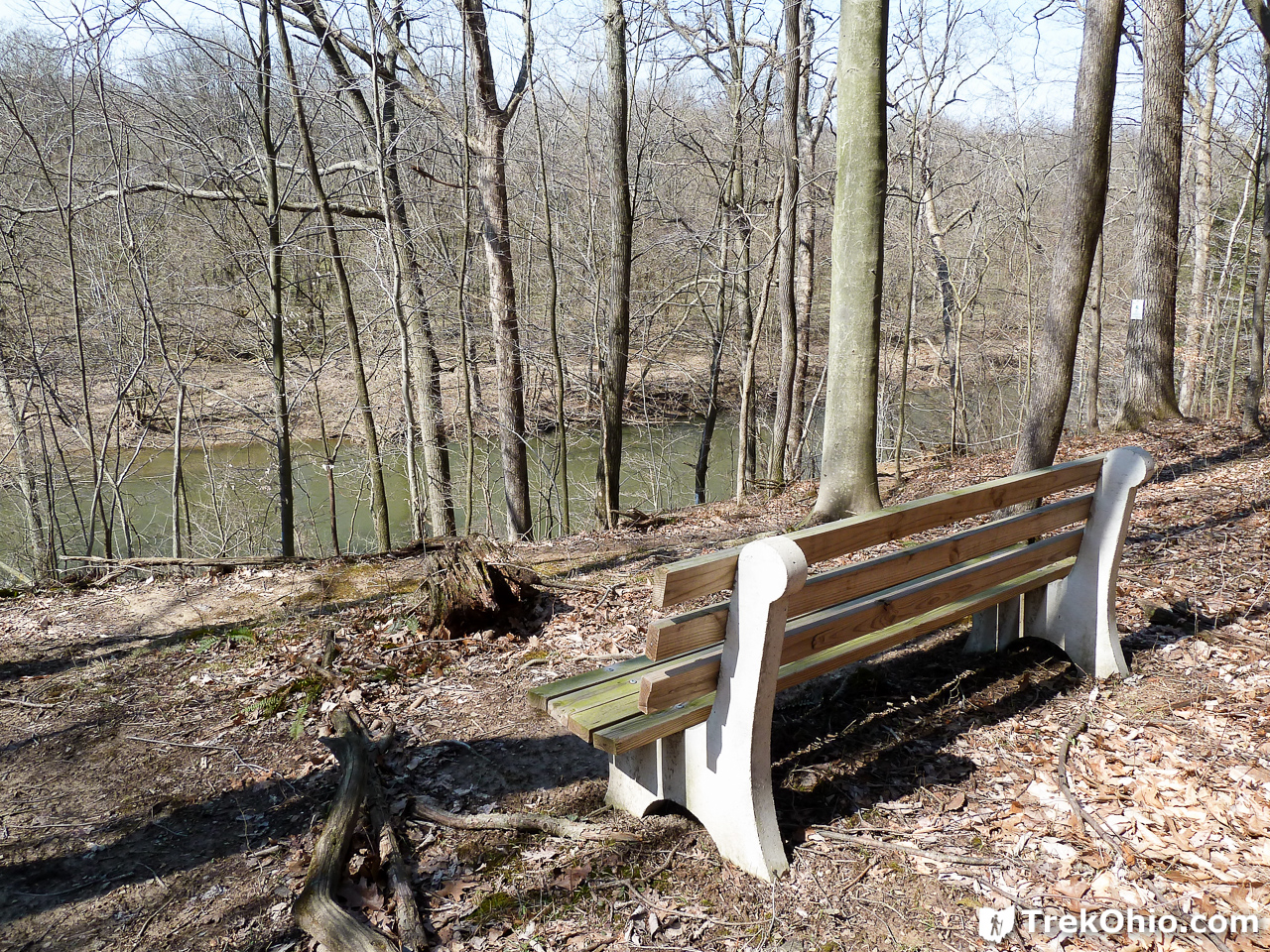
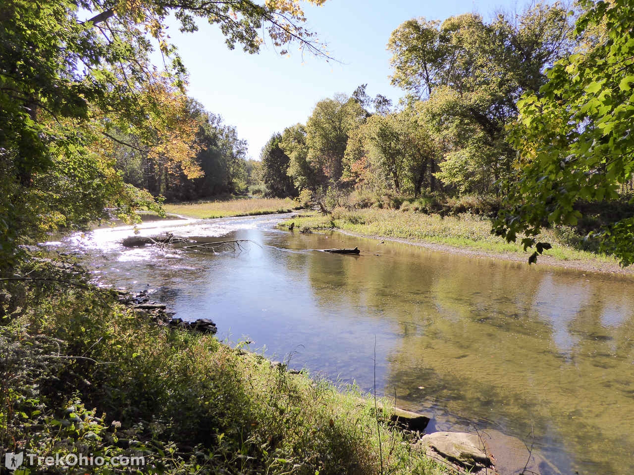
Starting at the parking lot, the trail takes you toward a scenic bluff overlooking the Kokosing River. If you continue your hike, the trail leads you down off the bluff to Indianfield Run. You have to wade across this creek to reach the remainder of the trail. Beyond the creek a portion of the trail follows the treeline adjacent to a farm field, but much of the hike is through woods and near the Kokohsing River. The trail has two loops: one on top of the bluff before the creek crossing and another after the creek crossing near the end of the trail.
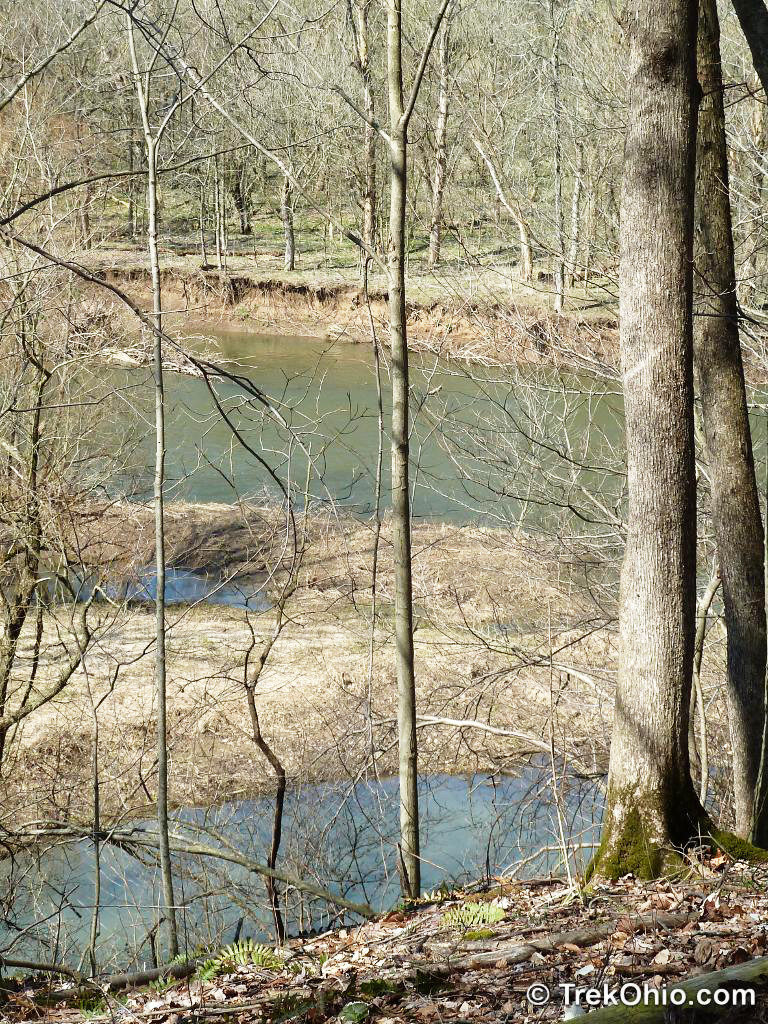
I’ve visited Indianfield Bluffs Park twice: in mid-March of 2012, and in early October of 2016. During my March visit I had a better view of the Kokosing River and of the surrounding terrain from the bluff because the foliage hadn’t emerged yet. However, I was unable to cross Indianfield Run because the water was higher than my hiking boots; this made for a pretty short hike. When I returned with Bob in October, the leaves on the trees obstructed the view from the bluff, but the water in Indianfield Run was much lower, and it was easy for us to cross it and continue our hike on the other side of the creek, so I was finally able to hike the entire trail.
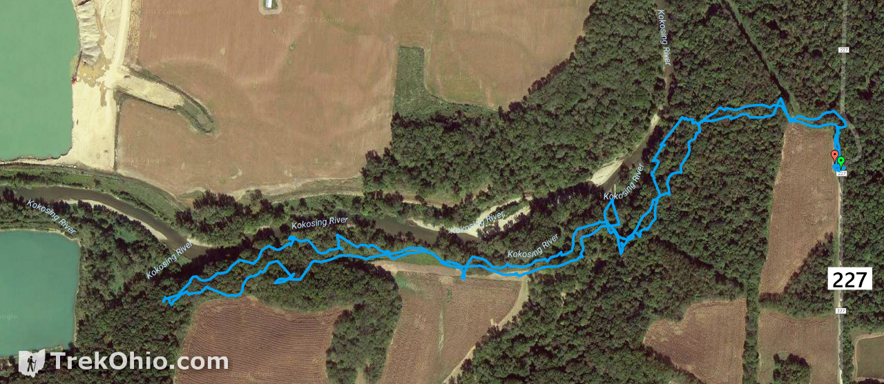
Below is a GPS trace of our October hike when we were able to hike the entire trail. You can see that it’s a narrow park, but wooded for the most part.
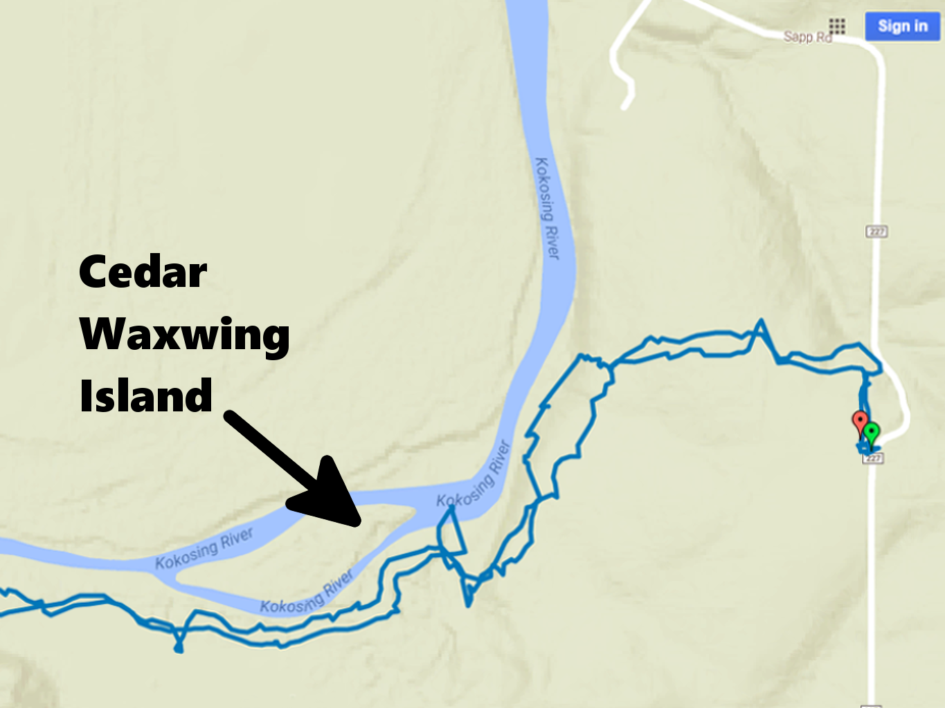
Although it is difficult to see due to the trees, there is also an island just west of the point where Indianfield Run enters Kokosing River. The island is called Cedar Waxwing Island because this bird species frequents the island and in general prefers habitats around rivers.
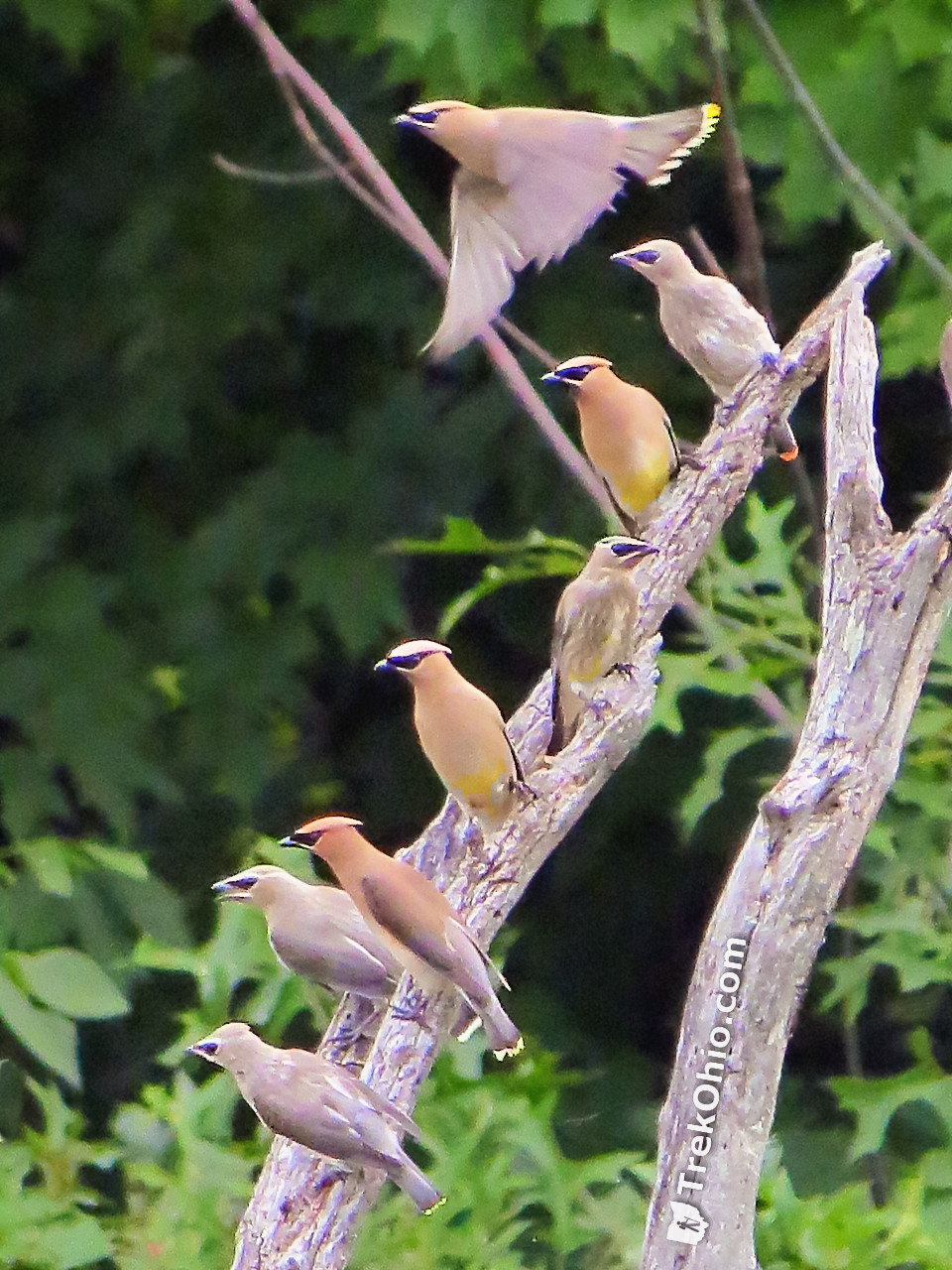
We weren’t there at the right time of year to see this bird, but if we had been we would have seem something like this.
A notice posted in the park’s kiosk states:
The Indianfield Bluffs Trail contains steep pitches. You must be physically fit to hike the trail portion along the Kokosing River (that’s the left-most portion in the full map). The loop trail that stays on top of the bluff is more suitable for families.
From Trailhead to Bluff
From the top of the bluff there is a steep, switchback trail down to the riverbank.

However, once you are down there, it is a steep climb back to the top.
And here’s a view beyond the trail to give you and idea of the slope around the bluff.
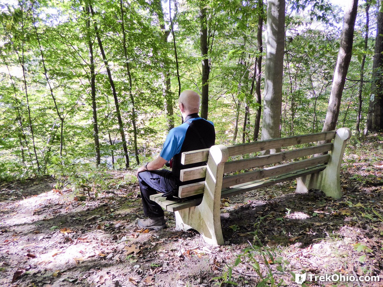
If you continue the loop trail near the bluff, you’ll run into another bench overlooking the area.
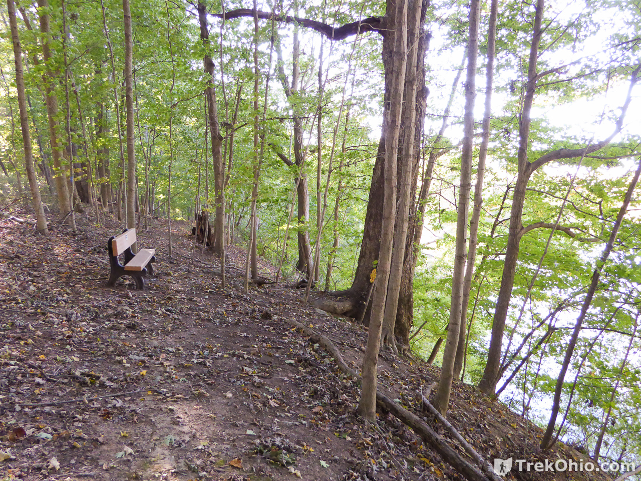
You can either take the loop back to the parking area, or you can continue on to Indianfield Run.
Indianfield Run
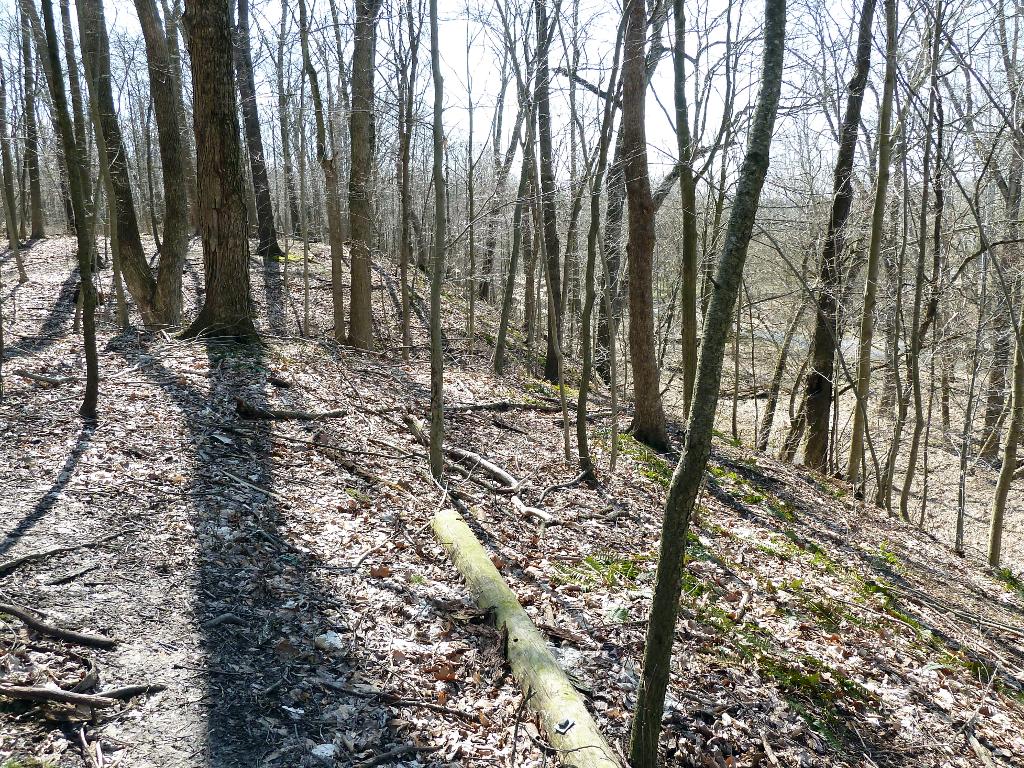
To the far right you can see the flood plain that we’ll be descending to.
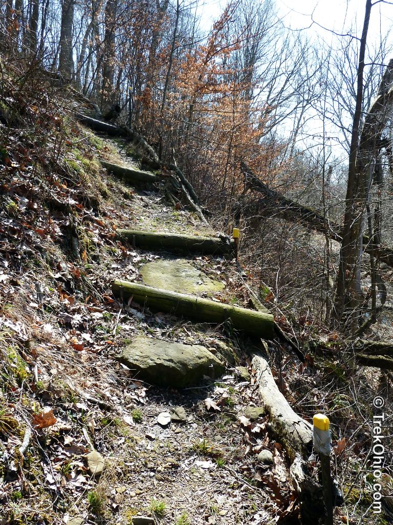
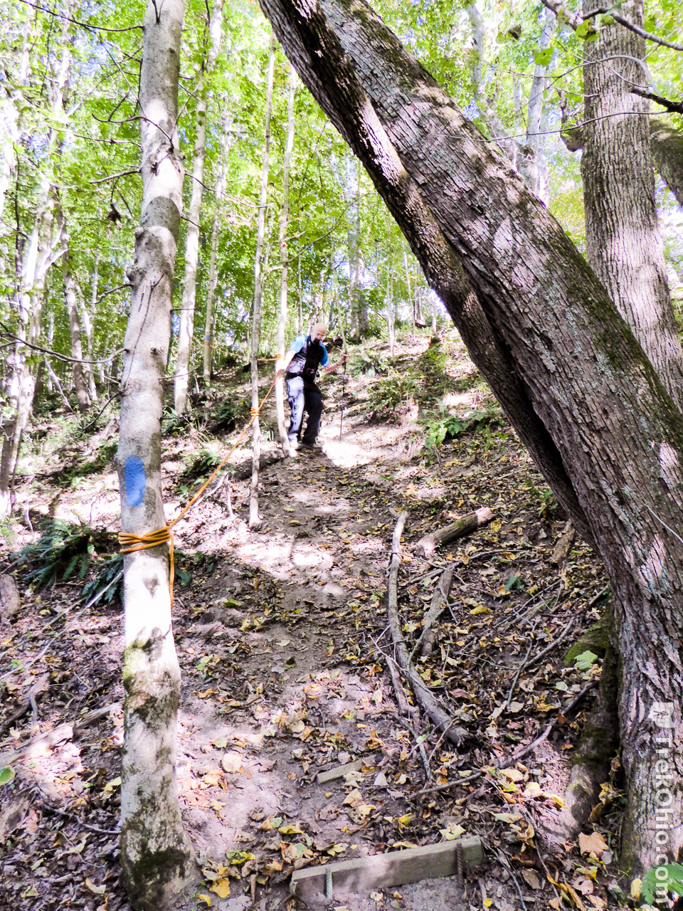
After descending down to the floodplain, I turned around and photographed the section of the trail that leads people down to this area.
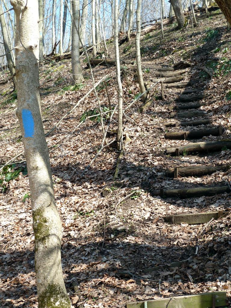
As you can see in the above photo it is quite steep, but boards have been secured to the ground to create a sort of staircase. However when we returned in October of 2016, the same area had changed quite a bit. The boards may still be there, but apparently there has been so much erosion that you can no longer make use of them as stairs. So instead someone has tied a rope to the side of the path to serve as a sort of railing.
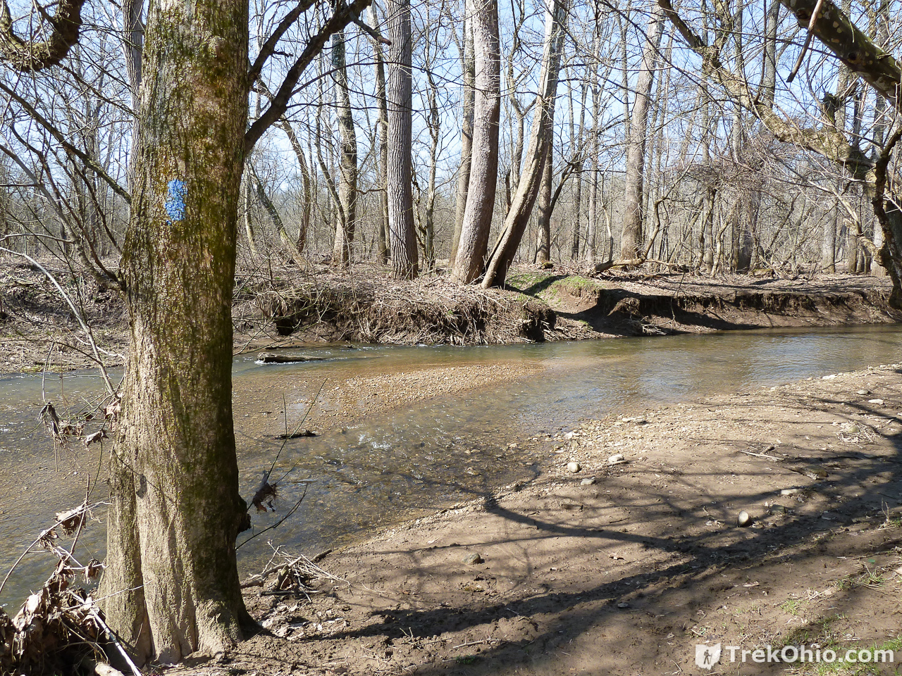
Once on the flood plain, it is time to look for the place where the trail crosses Indian Run. Here’s what the crossing looked like in March of 2012.
And now let me walk till I’m straight across from the crossing point.
Sadly the water was just too deep when I was there in March. It was still officially winter, and I don’t intentionally get my feet wet while hiking in winter. So during this trip it was the end of the line for me. But when we returned last October, you can see that the water is much lower. We had no trouble crossing with just our regular hiking boots.

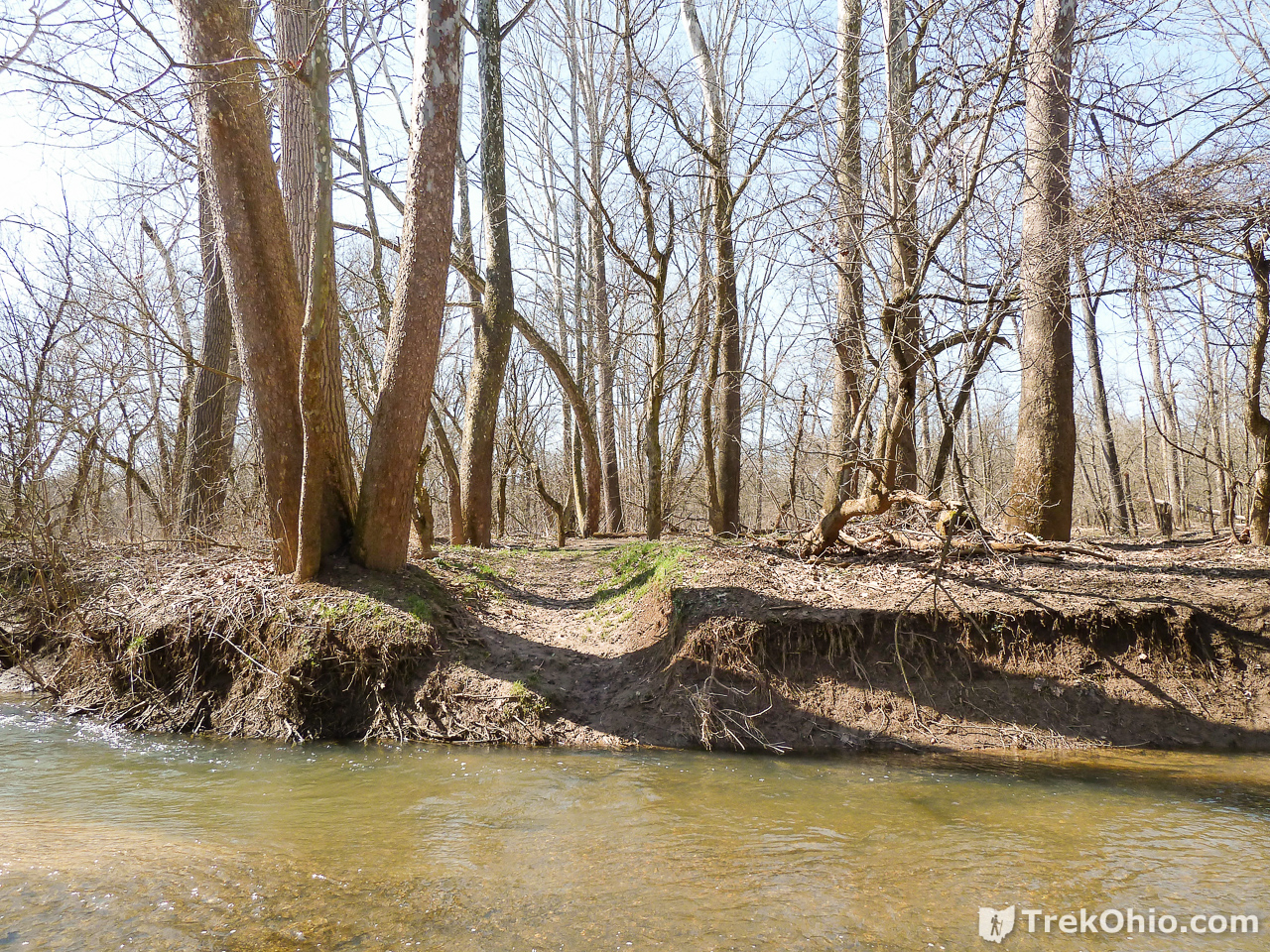
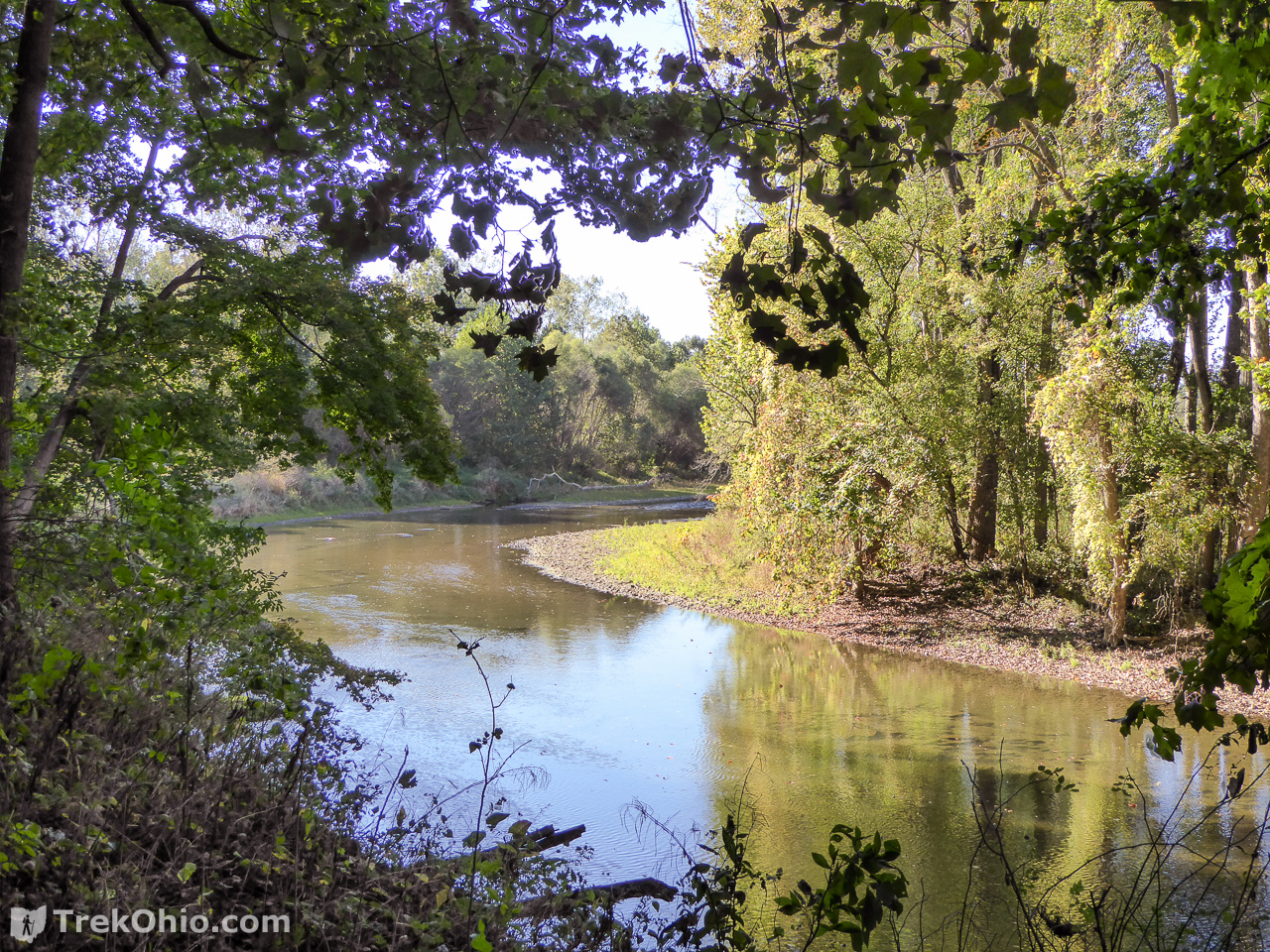
And here’s a photo looking downstream Indianfield Run toward the Kokosing River. As you can see the far bank has a bit of a ledge making it difficult to choose an alternative crossing point.
Beyond Indianfield Run
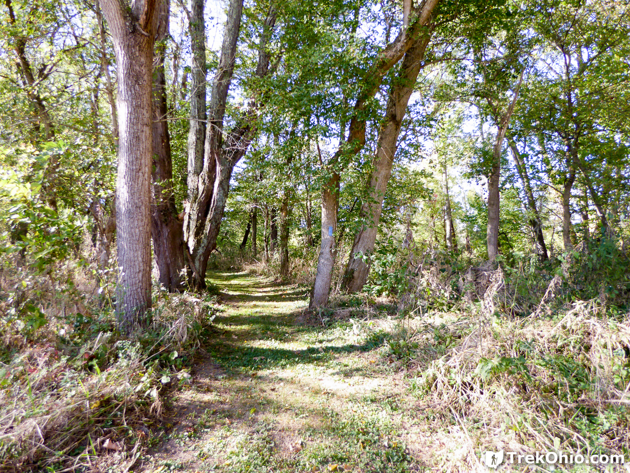
To our surprise a portion of the trail was mown. I thought the bit below looked very posh and well-manicured. 🙂
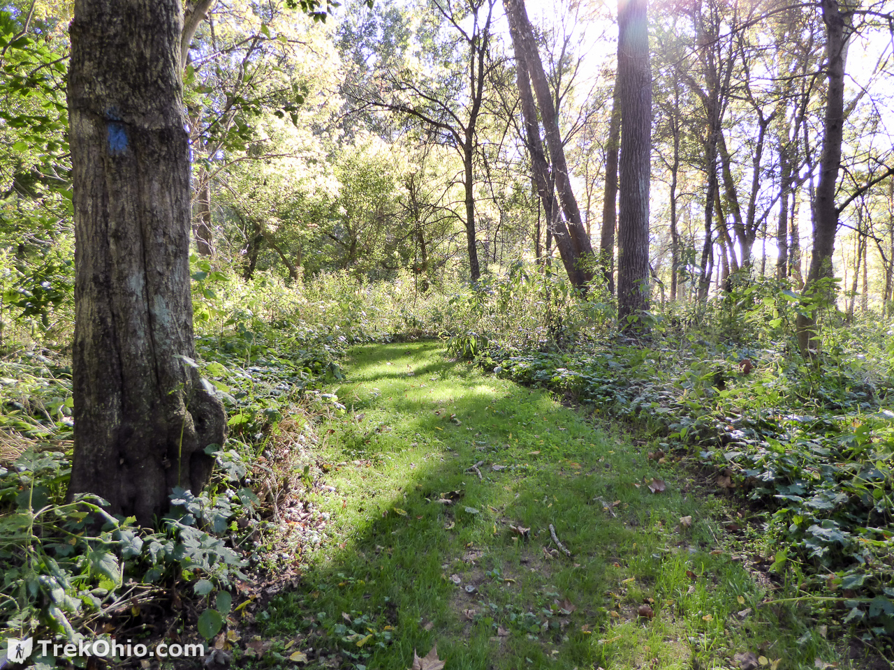
For a while we were led out to a mown path that followed the treeline along a field.

You could see the privately held farmland to the left of the path.
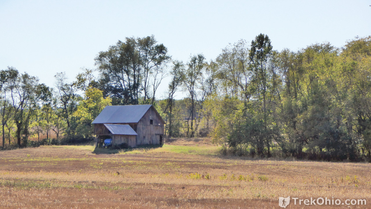
Areas like these between fields and forest are typically good birding sites. But we were soon heading back into the woods.
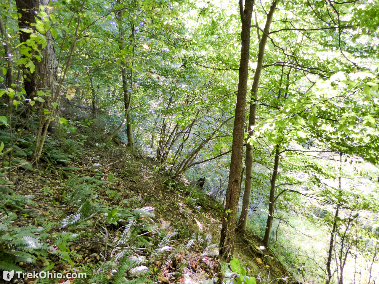
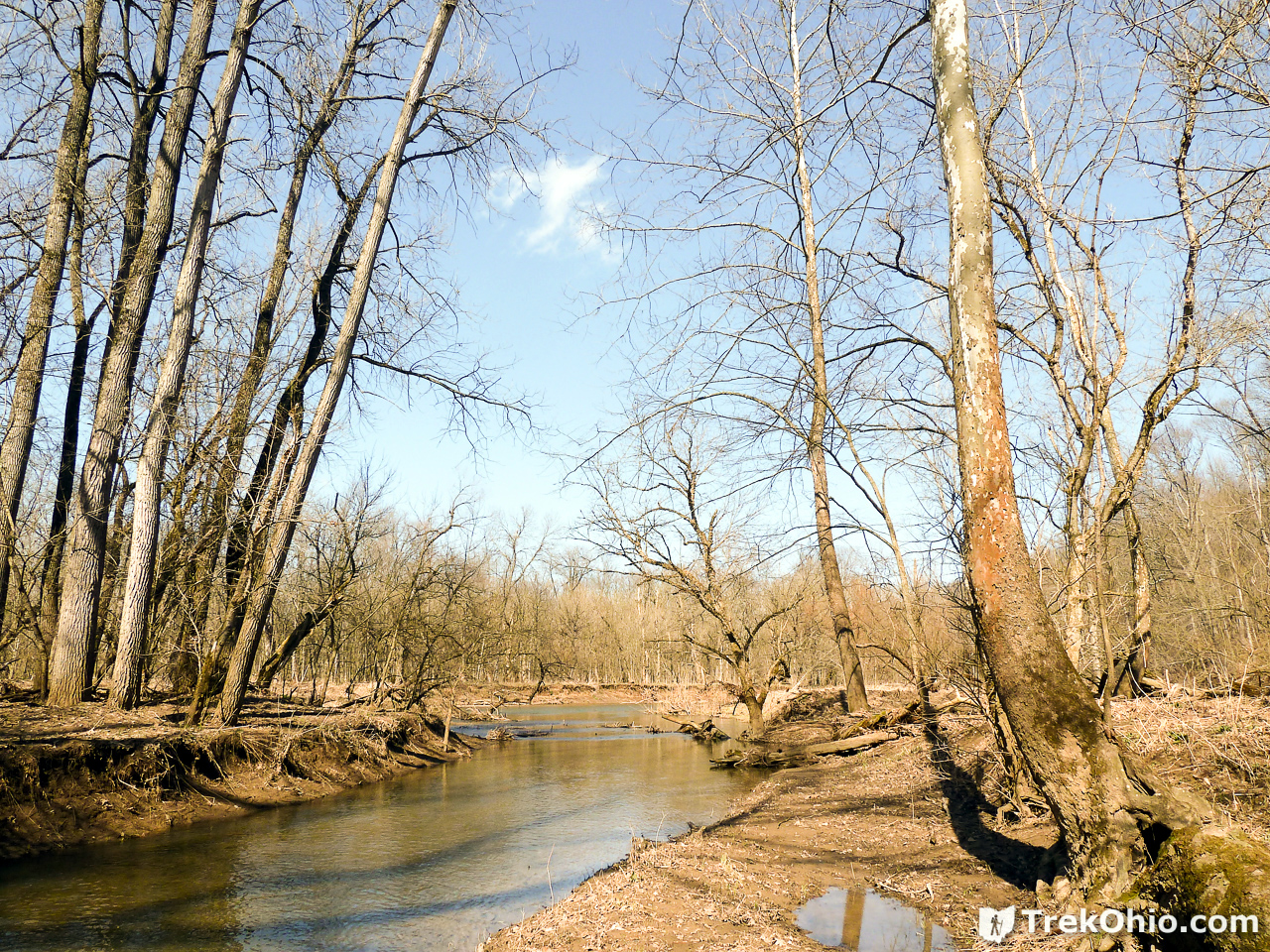
I’m assuming that if leaves were down, this trail would offer many more views of the river… that’s if you can cross the creek to get here.
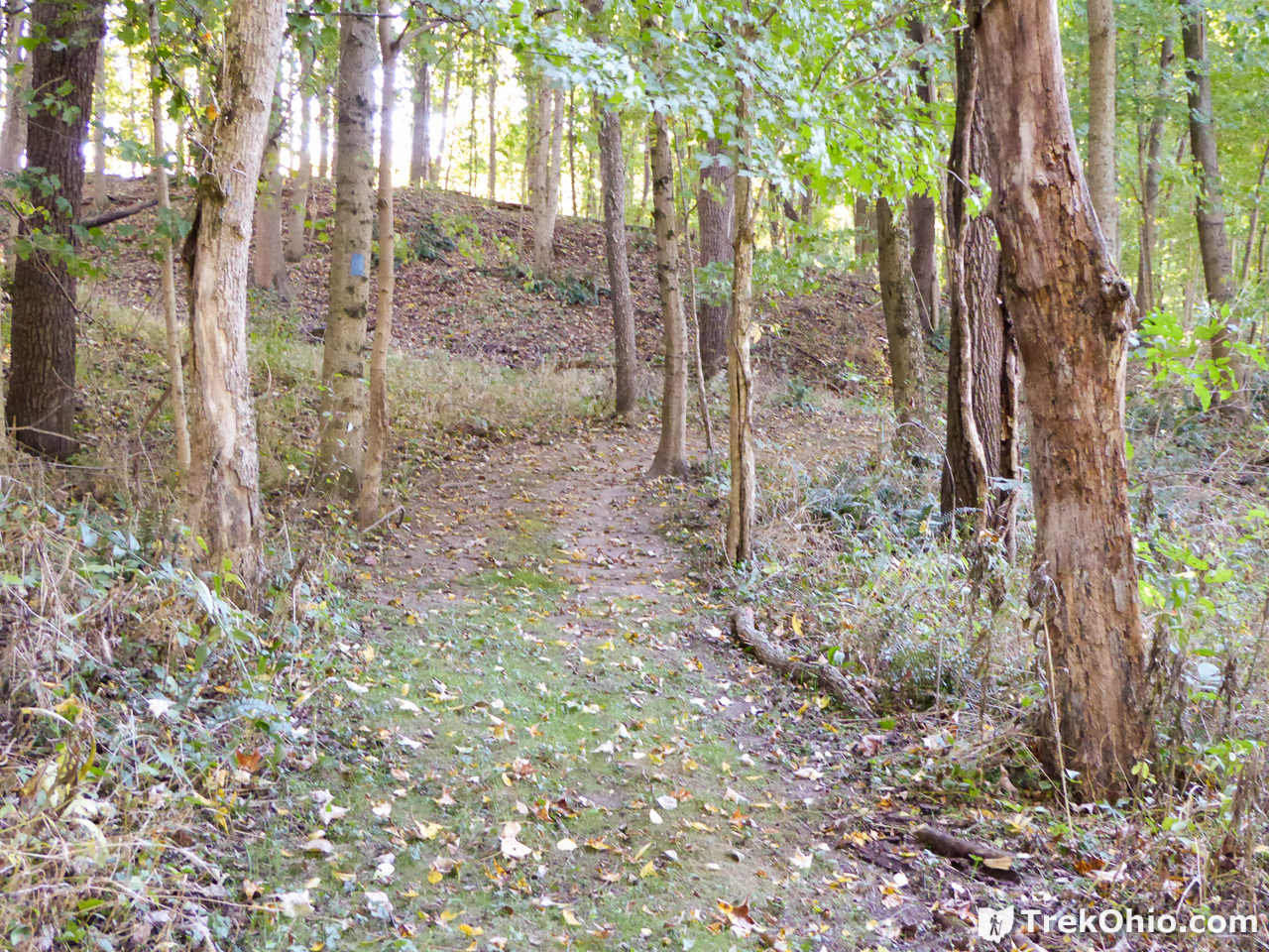
As we took the second loop we were taken farther away from the river.
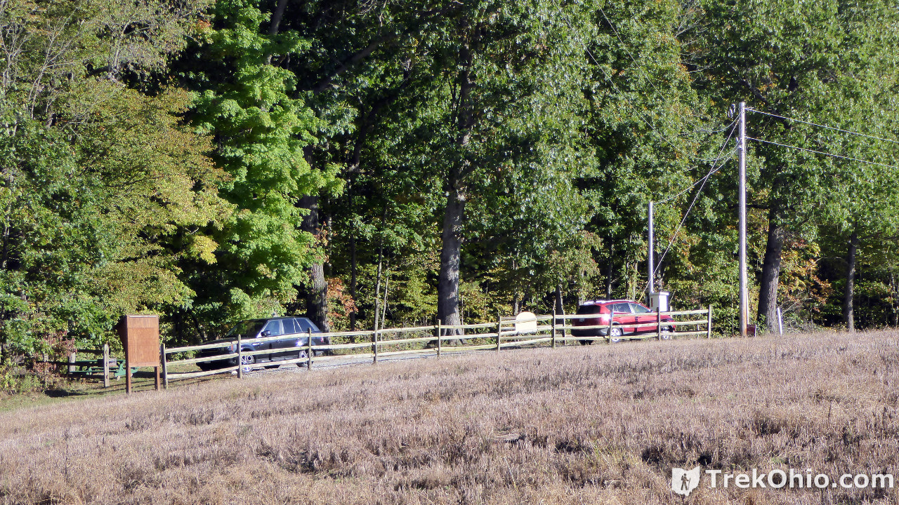
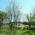
After crossing Indianfield Run again, mounting the bluff and continuing to the beginning of the trail, we could see the fenced parking lot in the distance from the trail.
Although this is a small park, we both really enjoyed hiking here. Spring hikers may not be able to cross Indianfield Run in order to enjoy the full trail, but the view from the bluff is excellent then.
Additional information
- TrekOhio: Knox County Parks & Nature Preserves — This is the county where Indianfield Bluffs is located; check out this page for links to the official site and for information on nearby parks and preserves.
Location
- Address: 10855 Sapp Road, Howard, Ohio 43028
- GPS Coordinates: 40.385813, -82.329680
- Google Maps: View on map or get directions
More on Knox County
 Knox Woods State Nature Preserve and Wolf Run Regional Park
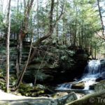 Honey Run Highlands Park
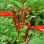 Thayer Ridge Park
 Ariel Foundation Park
The Knox county officials are very helpful if you ask e.g. for a map of the park.
Your blog provides the rest of the information and is very, very helpful.
Heike, we are glad to hear how helpful the park official are. Thank you for your feedback and for your kind words about our post. 🙂
I enjoyed your review. We tried to hike their last spring and the trail hadn’t been mowed or the brush cleared and it was just too difficult with my young family. It looks like they are taking a little better care of it now. I enjoy your blog and check it out before heading out with my kids. Thanks!
Leah, thanks for your kind words about our blog. Further improvements to the park include a plan to build a bridge over Indian run so visitors can explore the full length of trail there no matter how high the water is. A park official told me the new bridge would be built this year.