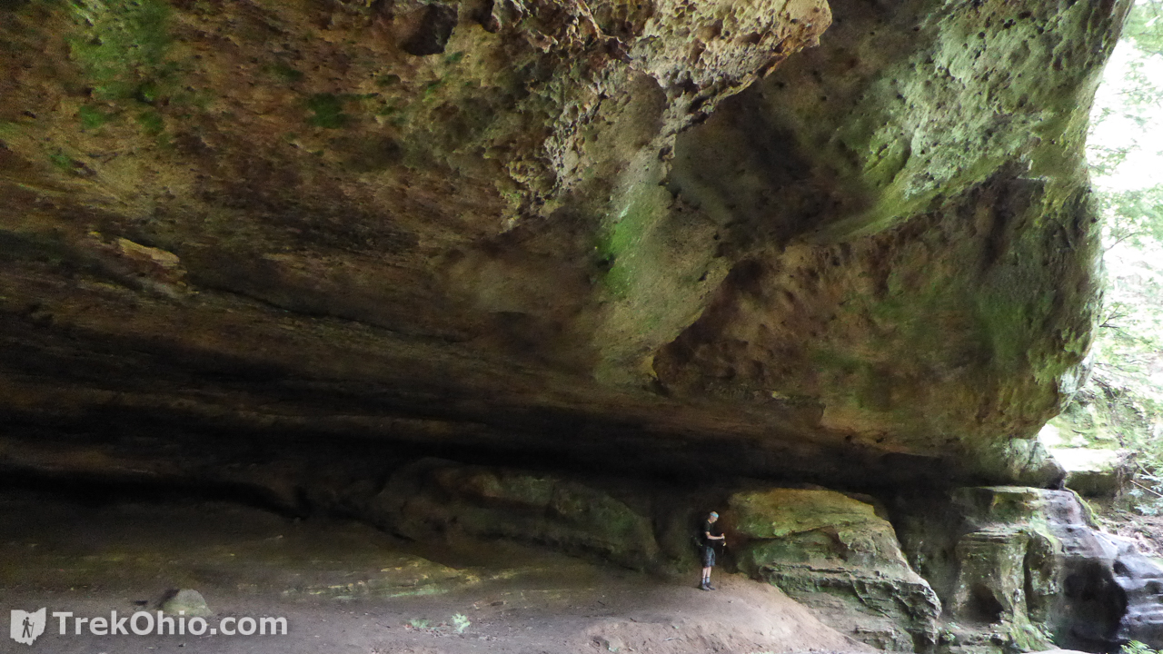
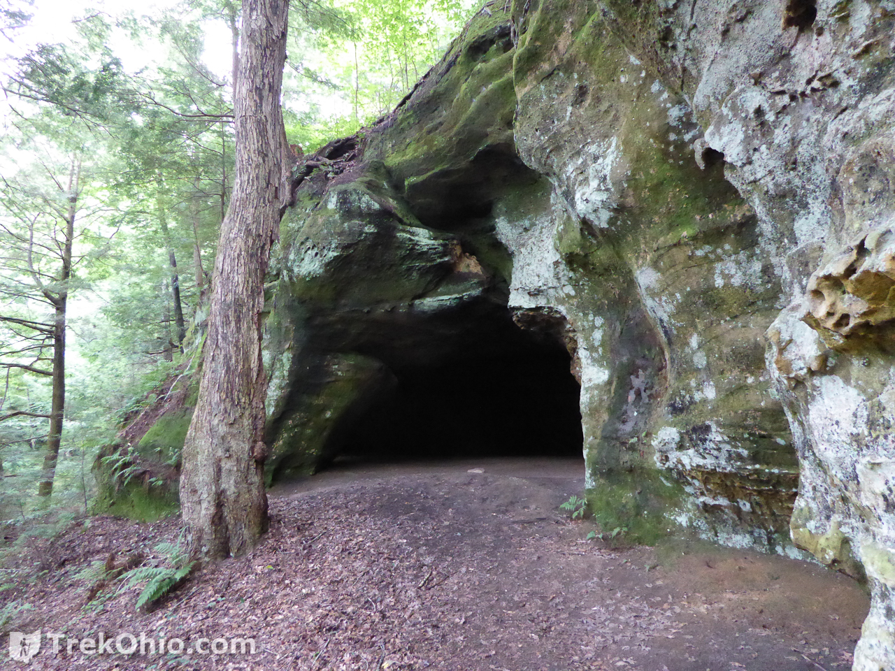
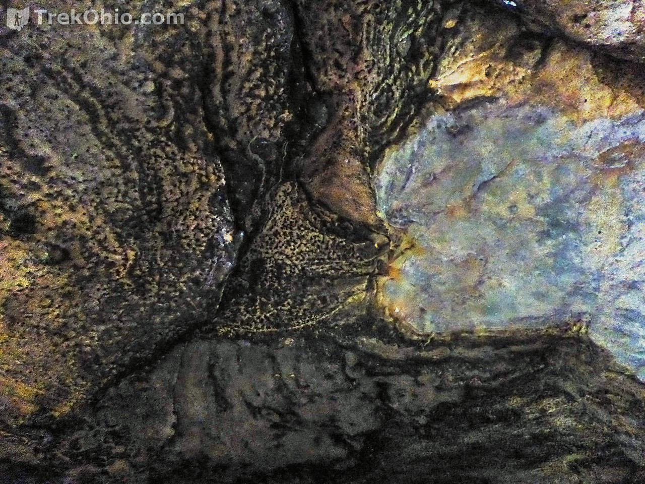
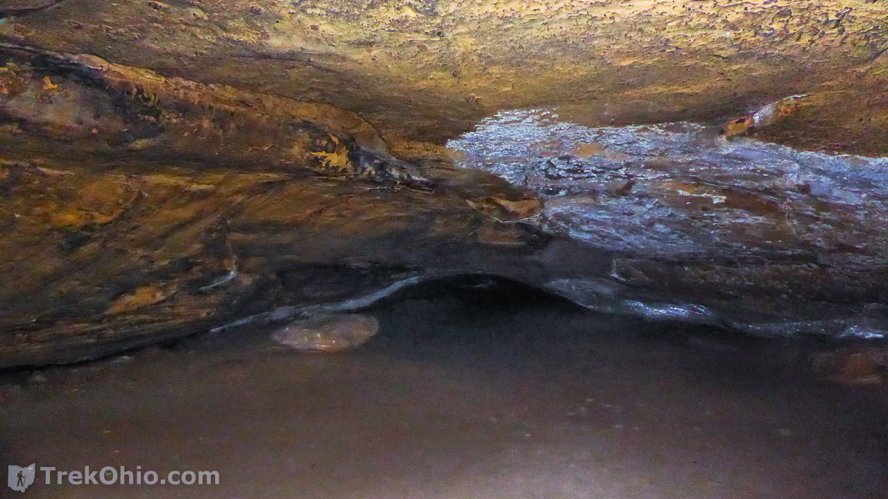
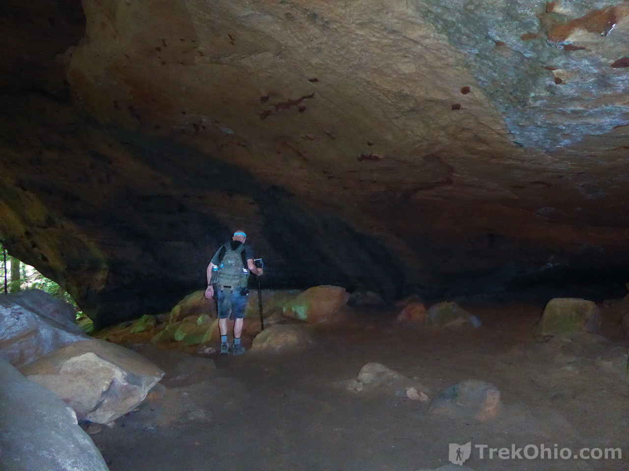
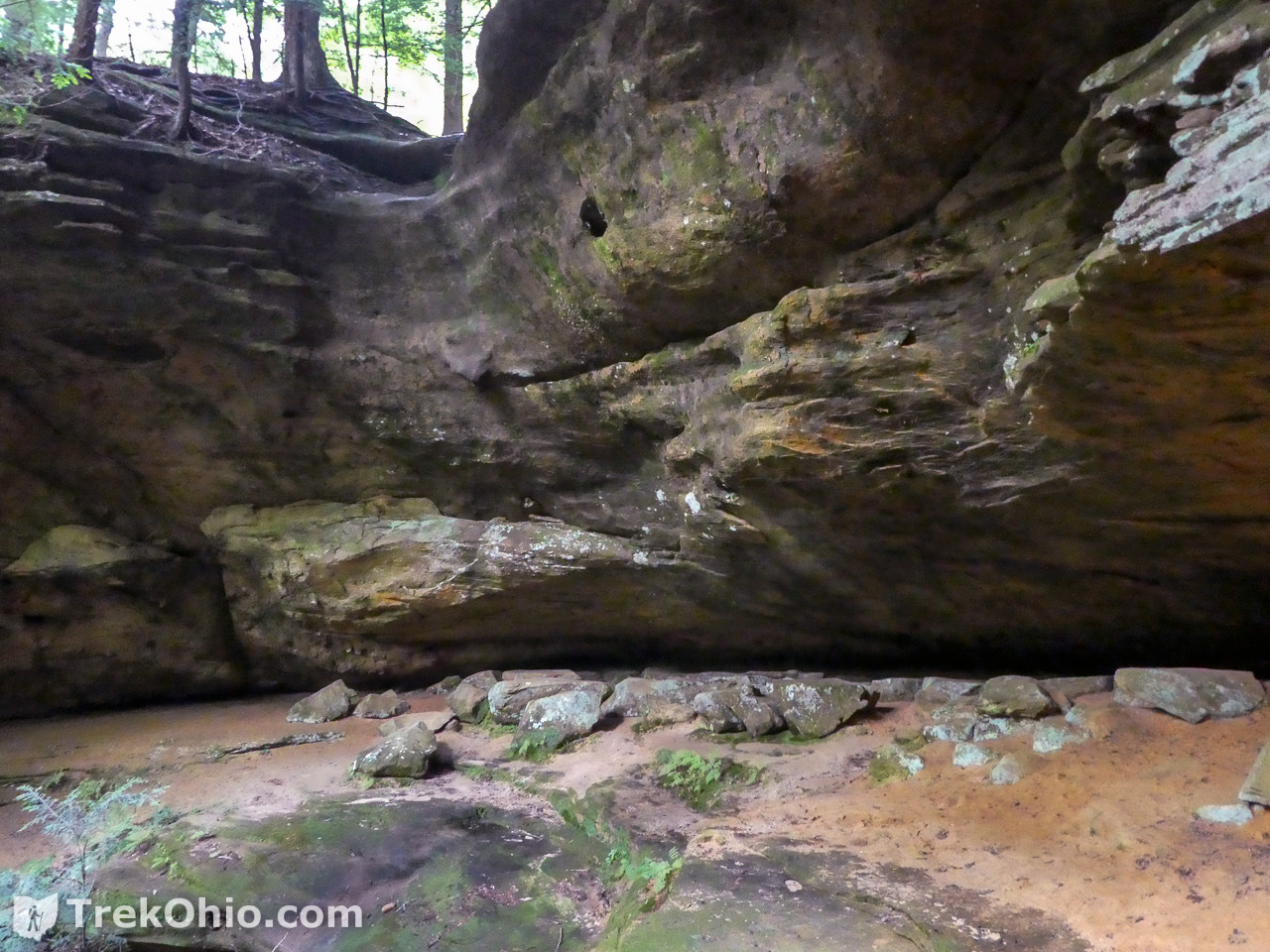
For those who enjoy hiking by cliffs, outcroppings and caves, Saltpetre Cave State Nature Preserve is a tiny preserve in Hocking County with an abundance of such features. Although it is only 14 acres in size, it contains four significant recess caves. Two of the caves have 8-foot tall ceilings, mouths that are more than 100 feet wide, and chambers which extend back more than 120 feet into the bedrock. Another cave actually consists of three, vertically stacked recess caves. And a final cave has a decent-sized chamber with two smaller openings. The preserve is named after a white mineral deposit, saltpetre (potassium nitrate), which can be seen in patches on some of the cave ceilings.
Permit-only
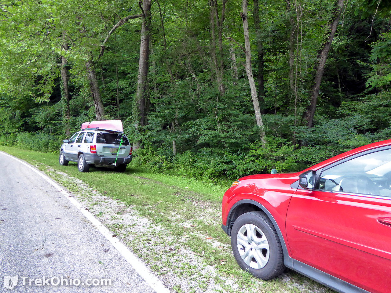
To visit Saltpetre Cave State Nature Preserve, you have to submit an application for a permit from the Ohio Dept. of Natural Resources (ODNR). ODNR does not publish the preserve’s address to discourage people from visiting the site without going through the permit process. Instead visitors are expected to submit the Application for an Access Permit at least two weeks prior to a planned visit. Once your permit has been processed, ODNR will provide you information on the site’s location. Most permit-only preserves are designated as such because they are either ecologically sensitive, or there are limited facilities at the site. In the case of Saltpetre Cave State Nature Preserve, I’ll note that there is only parking space for about four vehicles.
Getting Oriented
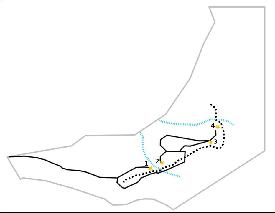
I photographed a map of the preserve at the kiosk, then traced the relevant sections as seen below. The solid, gray line shows the preserve’s boundary. The solid, black lines are the trails. The dotted black line shows where the line of cliffs is located; a line of cliffs like this is usually called a ridge or an escarpment. The dotted blue lines are small streams. The caves are identified by numbered stars. Note that there is a gap in the trail between cave one and cave two. After viewing cave one, we ascended back to the top of the ridge and followed the trail till we encountered stairs leading back down over the ridge. After descending the stairs we went to the right, so we ended up viewing the caves in this order: 1, 3, 4, and 2.
Getting started
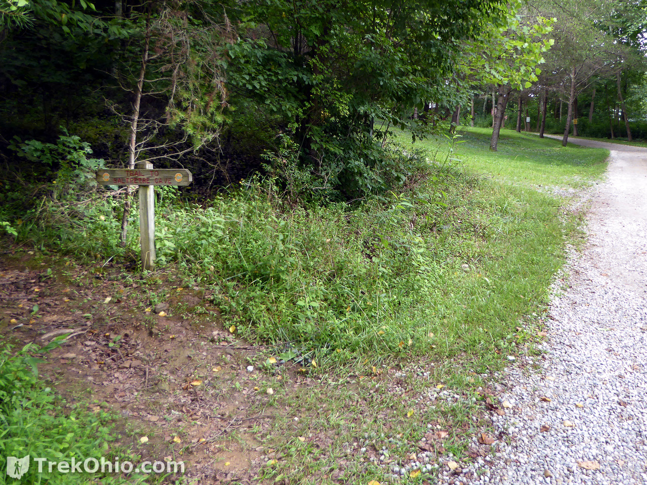
Visitors park in a grassy space to the side of the road. After parking your cross the road and follow a gravel drive. After a while you will cross a concrete bridge over a small creek. The trailhead is located on the left shortly after crossing the bridge.
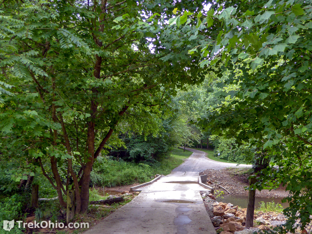
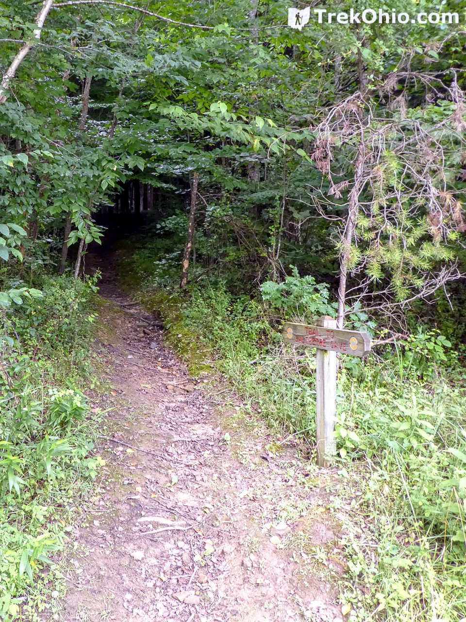
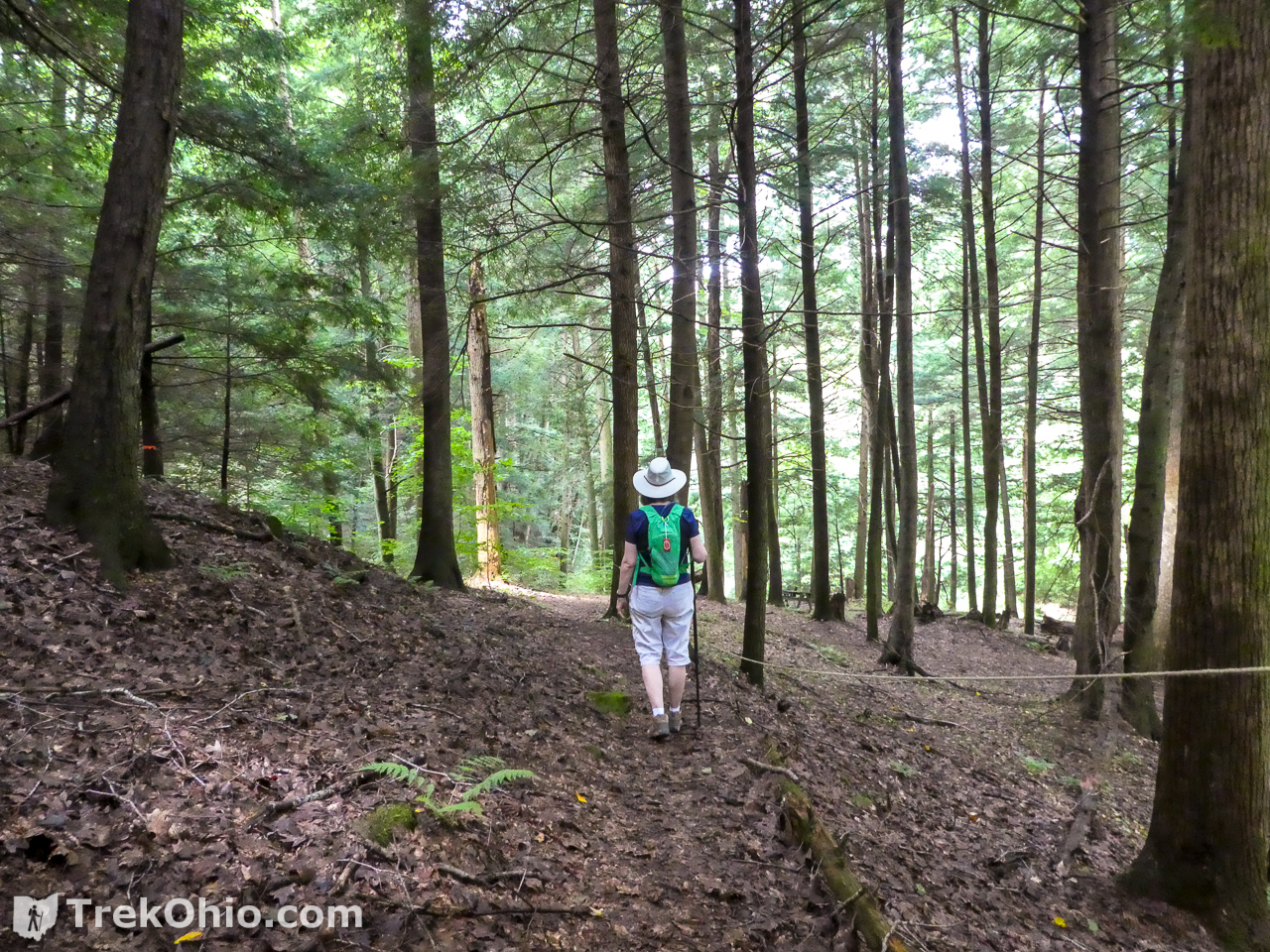
The trailhead is a dirt pathway leading from the gravel drive into a hemlock forest.
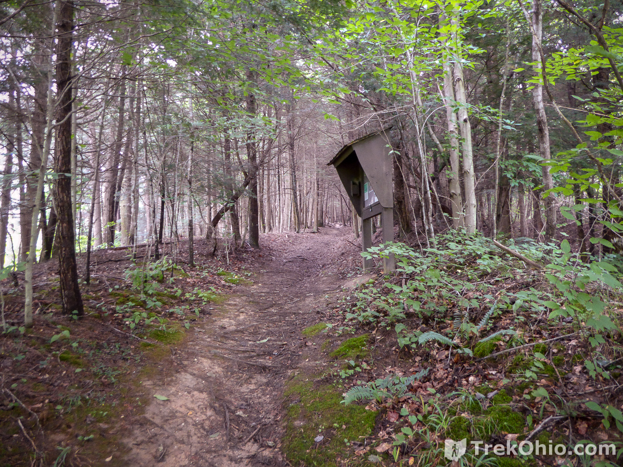
Shortly after entering the hemlock forest, you will find a kiosk to your right.
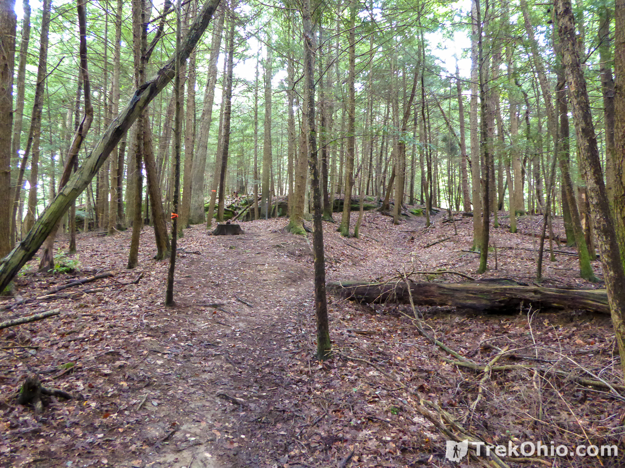
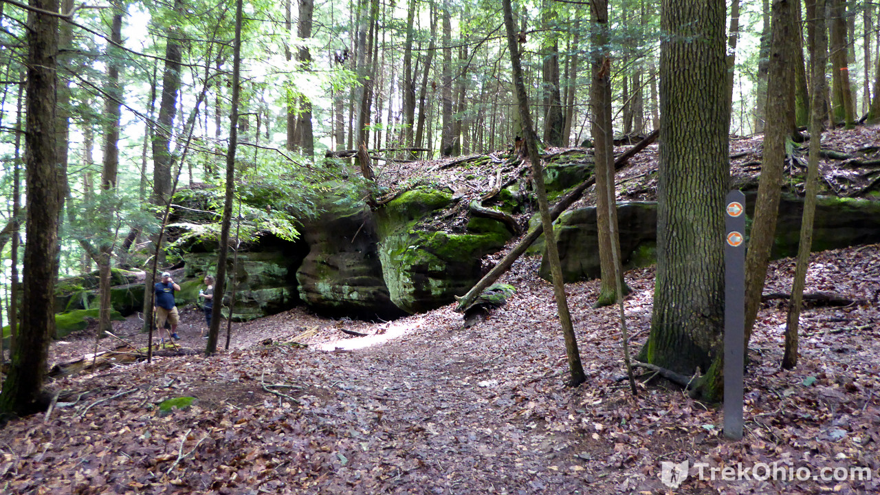
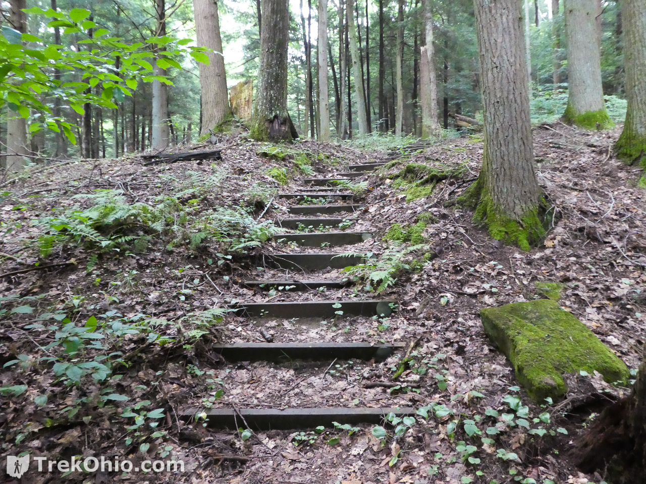
You’ll go uphill for a while, and then the ridge will come into view.
At this point a post with two orange arrows shows that you can go right or left. To see cave #1 go left. The trail to cave #1 dead-ends at the cave. You will have to return to this point and then go right along the top of the ridge to see the remaining caves.
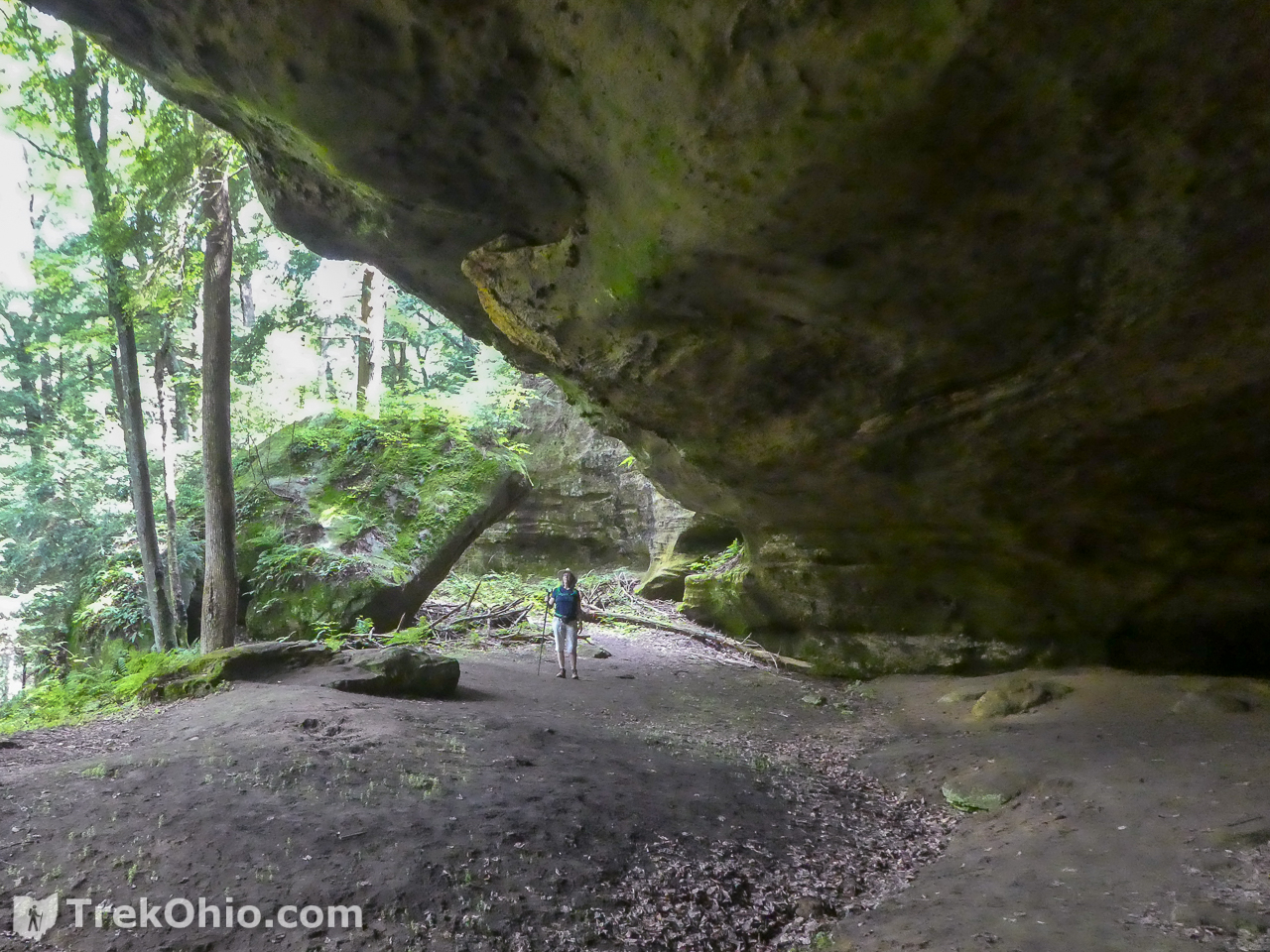
Cave #1
If you have been to Cantwell Cliffs in the Hocking Hills State Park, you may have pushed through a portion of the trail known as the Fat Woman’s Squeeze. You get to relive that experience here as you make your way to Cave #1.
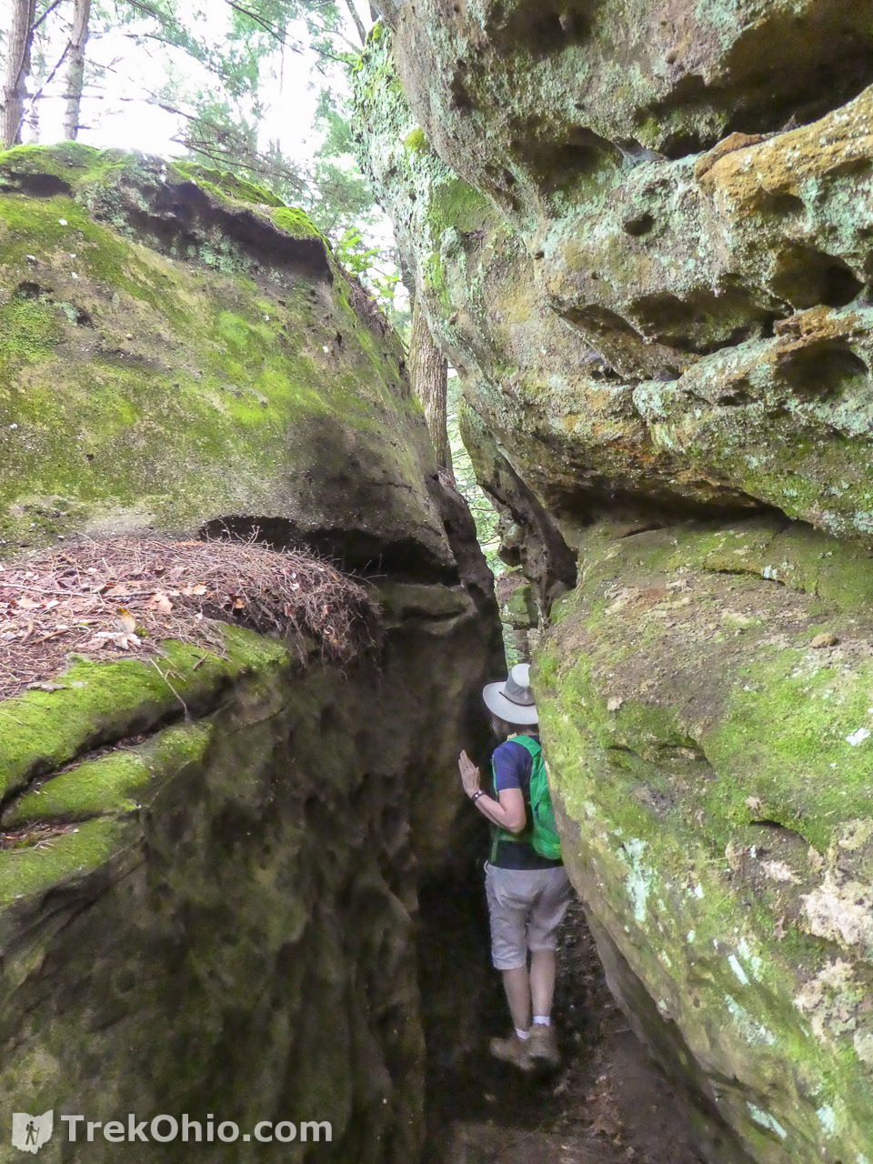
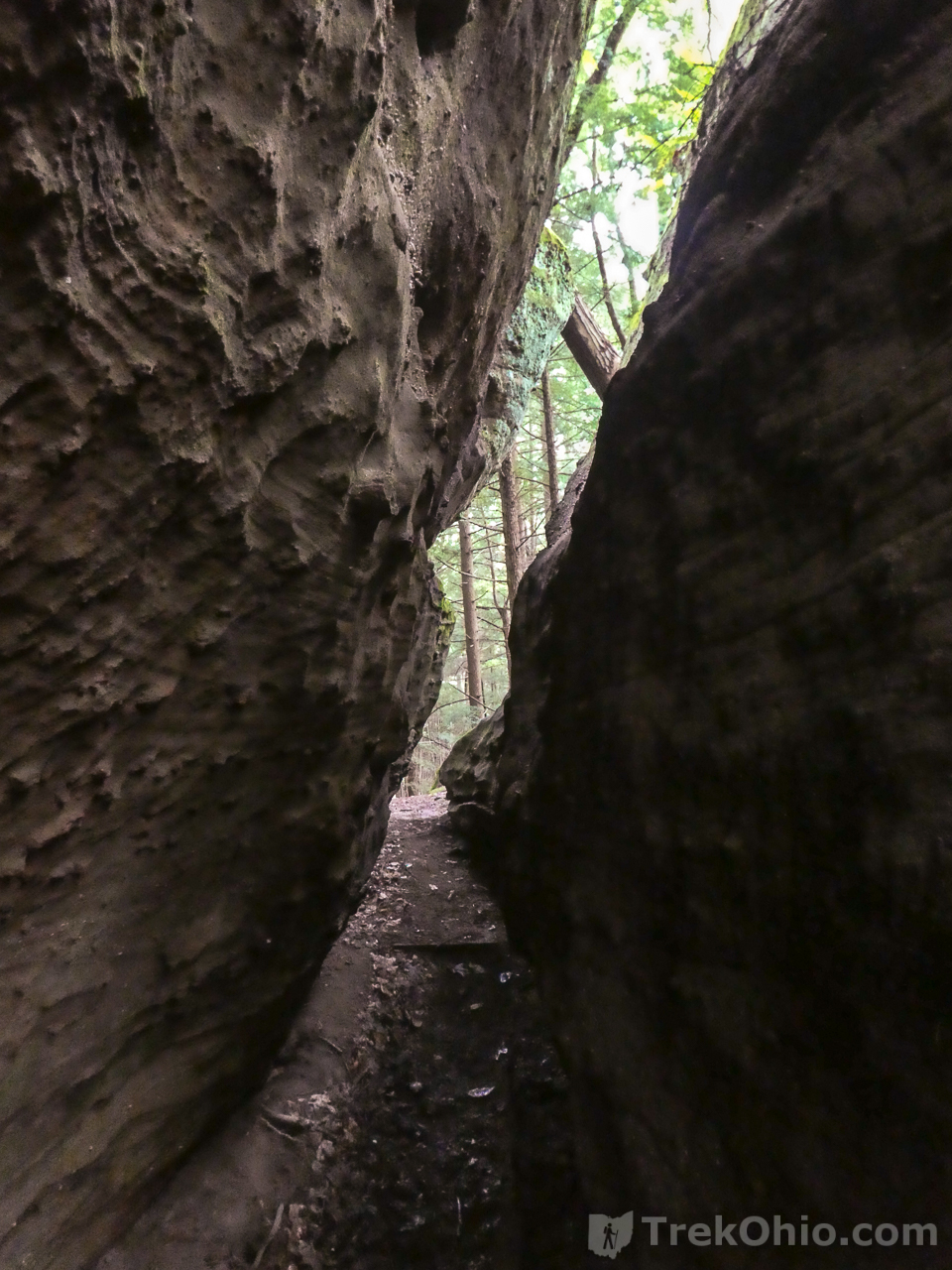
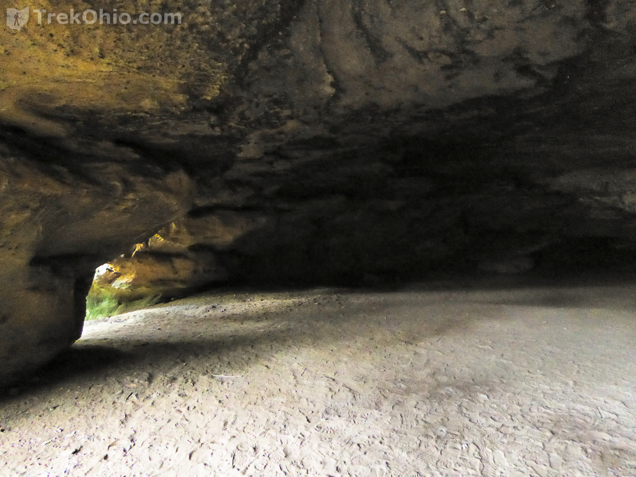
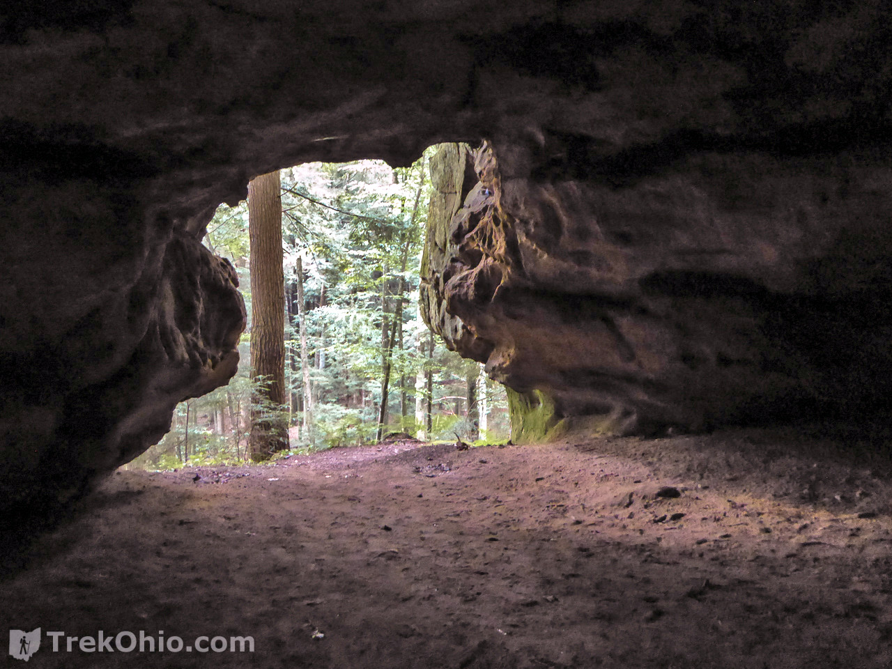
It turns out that cave #1 has two openings. This is the first one that we encountered.
As soon as you enter it, you see light from the second opening.

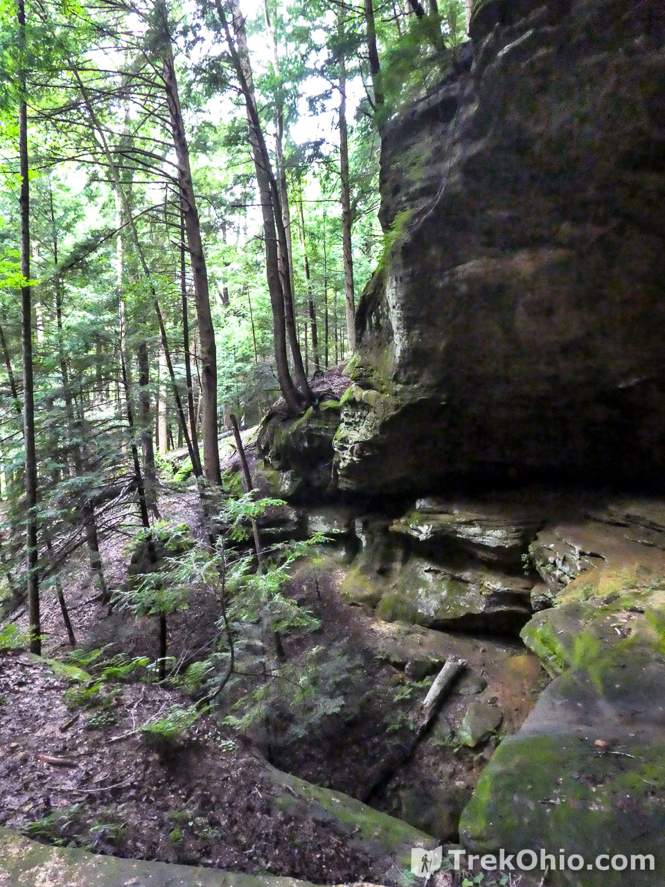
Along the ridge top
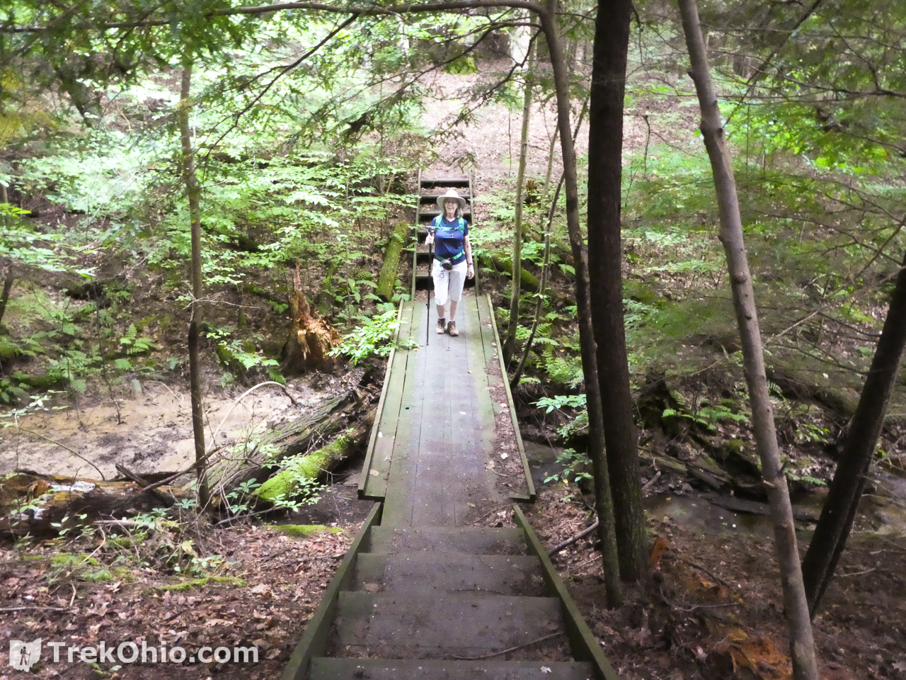
You can even sit for a while if you like.
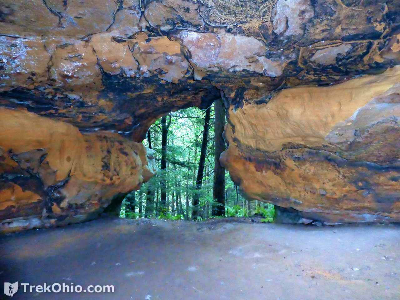
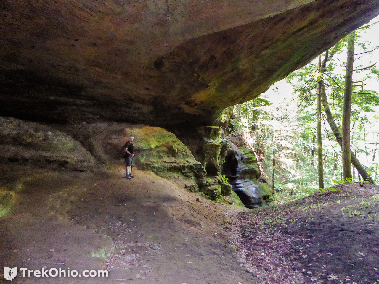
Cave #3
Once we descended the stairs and were at the base of the ridge once again, we could go left toward cave #2, or right to cave #3. We decided to go right and see cave #3 next.

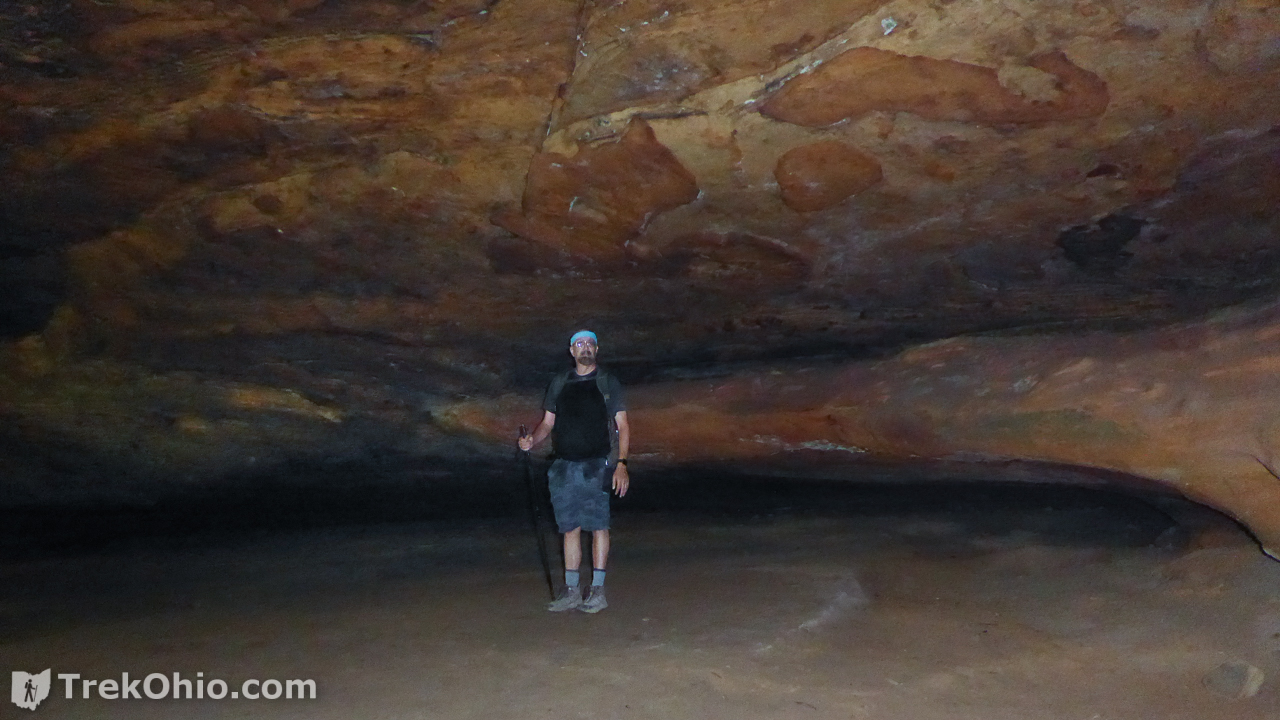
Cave #4

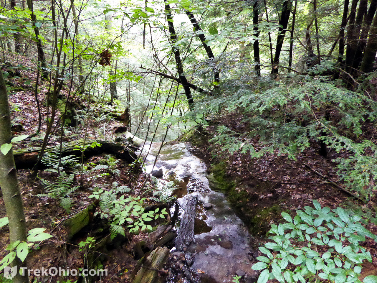
Excursion to Creek
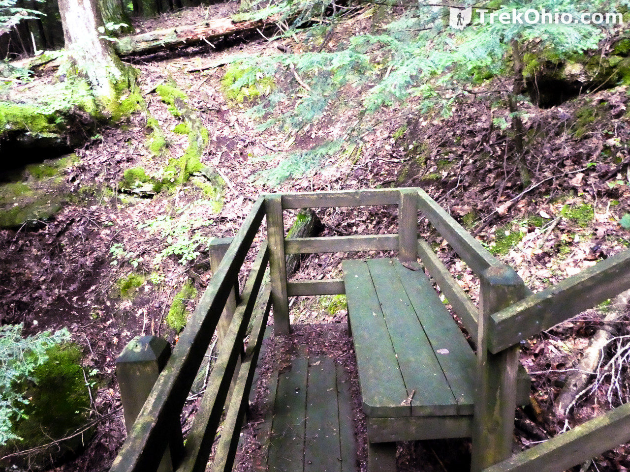
After viewing Caves #3 and #4, there is something of a side trail that goes toward a creek that is on the preserve’s boundary. To one side there is a rope barrier marking the trail. As you go along you’ll pass a very nice bench, and the bottom of a wood-framed, dirt staircase that leads toward Cave #2. We checked out the creek first, then returned to the dirt staircase and up to Cave #2.
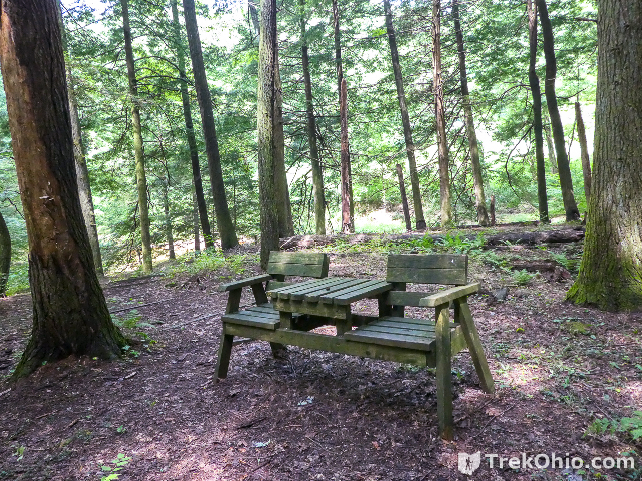
The bench actually faces away from the creek and toward the recess caves.

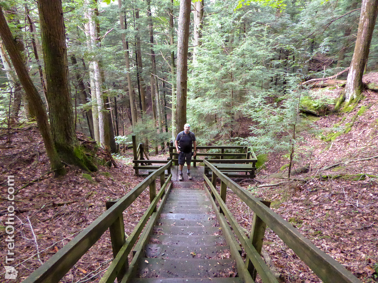
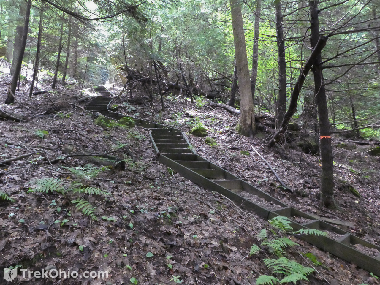
Once you get back to the area with the fancy bench, there are stairs leading up toward Cave #2.
Cave #2
Cave #2 features a really wide mouth with a massive amount of rock overhead. There is a large slump block on the other side of the trail as you approach it.

After checking out this last trail, we headed back to the staircase that takes guests back up to the top of the ridge.
We had a great time. Speaking for myself, even one of these caves would have made the trip worthwhile. Since the preserve is so small, the whole thing is a relatively short hike.
Additional information
- TrekOhio: Hocking County Parks & Nature Preserves — This is the county where Saltpetre Cave State Nature Preserve is located; check out this page for links to the official website and for information on nearby parks and preserves.
- ODNR: Application for an Access Permit to Ohio State Nature Preserves
- Sciencing: What Are Some Natural Sources of Potassium Nitrate? — This articles notes that saltpetre is found in caves when “solutions containing alkali potassium and nitrate seeped into cavern cracks and crevices.”
Location
Other than stating that this preserve is located in Hocking County, you will have to apply for the permit to visit the cave in order to get the exact location from the Dept. of Natural Resources.
More on Hocking County
 The beginning of fall color
 Kessler Swamp State Nature Preserve
 The Hocking Hills at Winter’s End
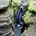 Boch Hollow State Nature Preserve: Robinson Falls
We explored this Christmas 2017. One of our favorite places in Hocking Hills so far!
Hello,
Would you happen to have any historical information on these caves? Had they been inhabited in the prehistoric period; or are there any vestiges within the caves themselves?
Thank you,
Douglas Thornton
The official website for the preserve just tells of its geological features, so I’m afraid that I can’t answer that.
Looks very cool! Thanks for sharing!