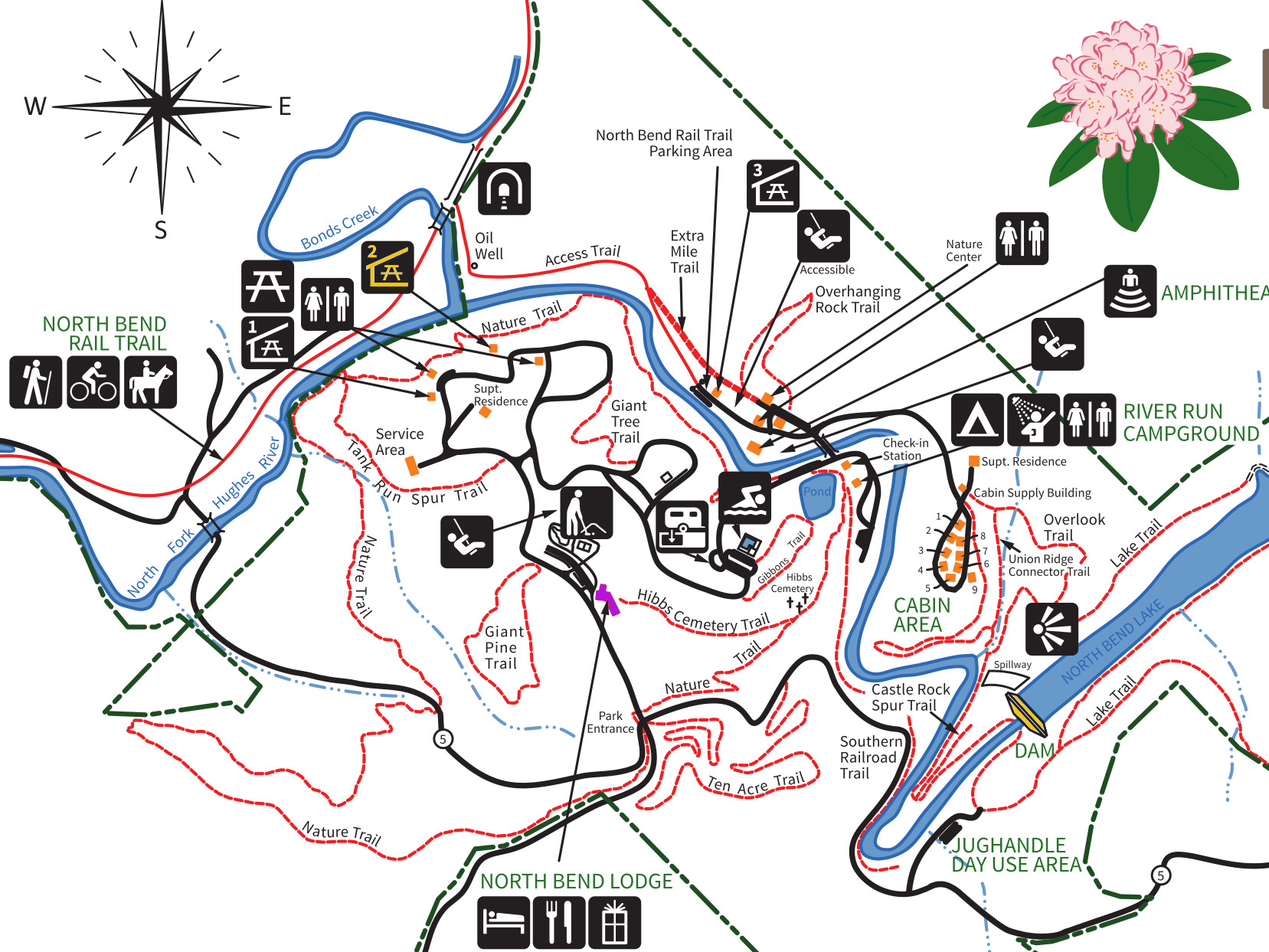
We spent a day hiking a series of smaller trails at North Bend State Park in West Virginia. Although the trails were short, they scenic. The trails we hiked include: Giant Tree Trail, Giant Pine Trail, Castle Rock Trail, and the Overlook Trail.
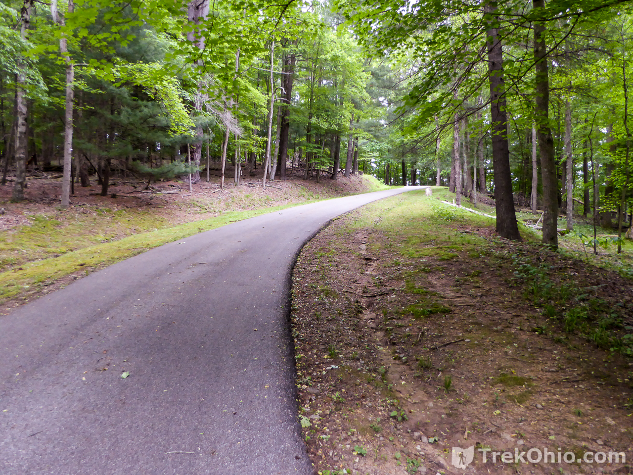
Getting Oriented
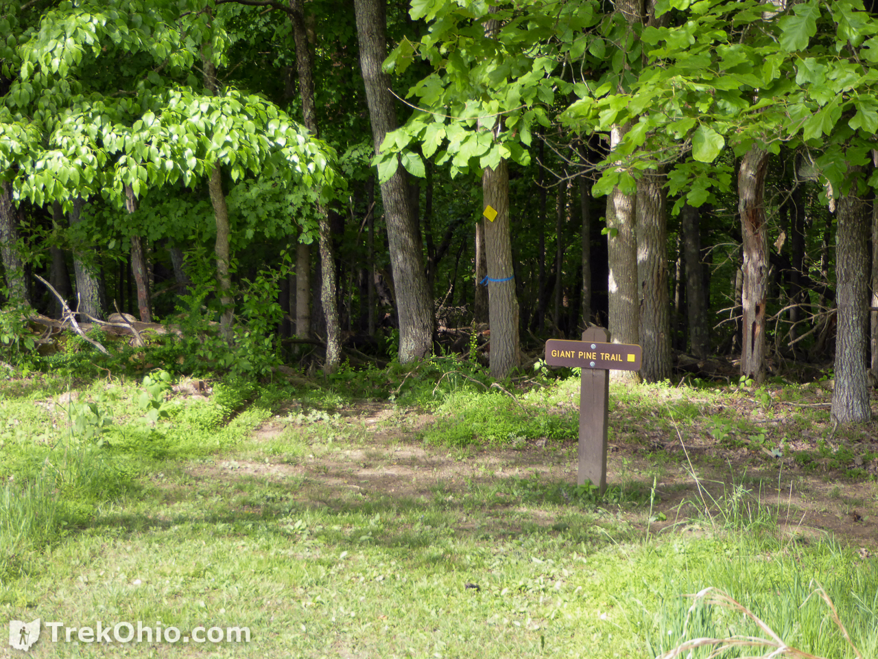
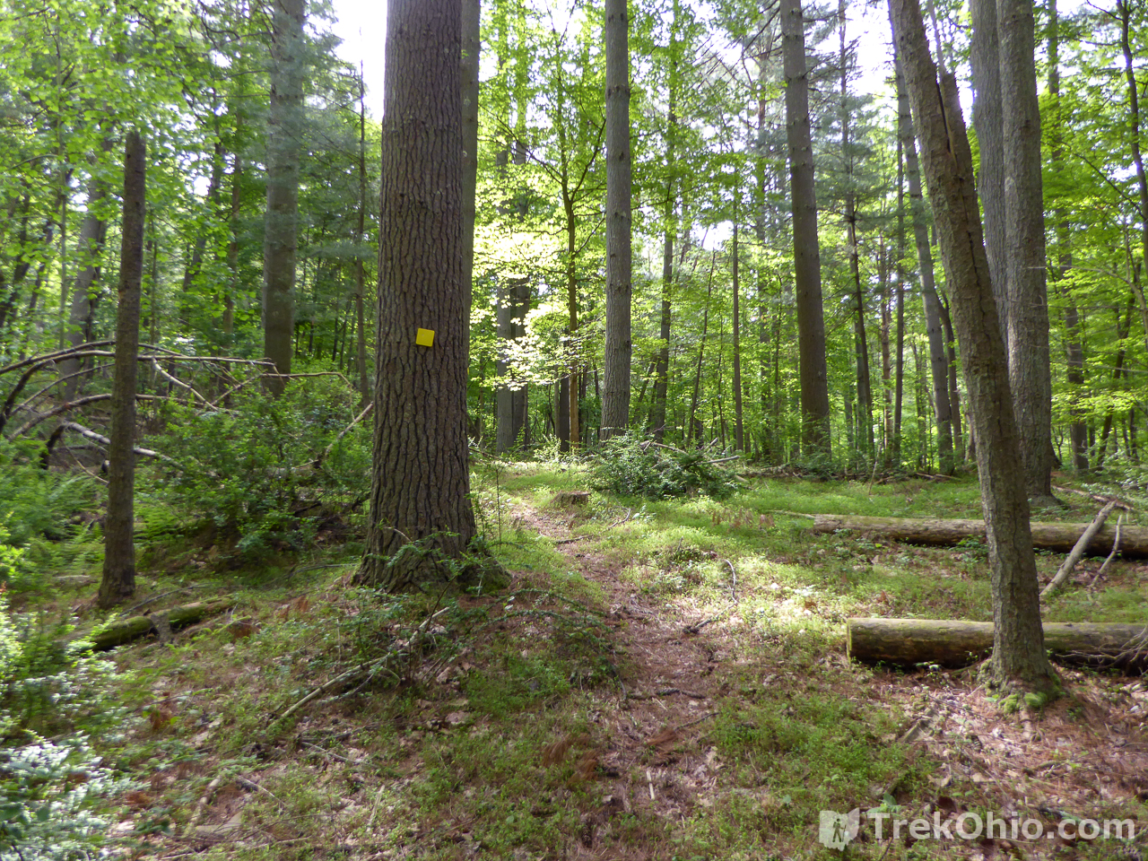
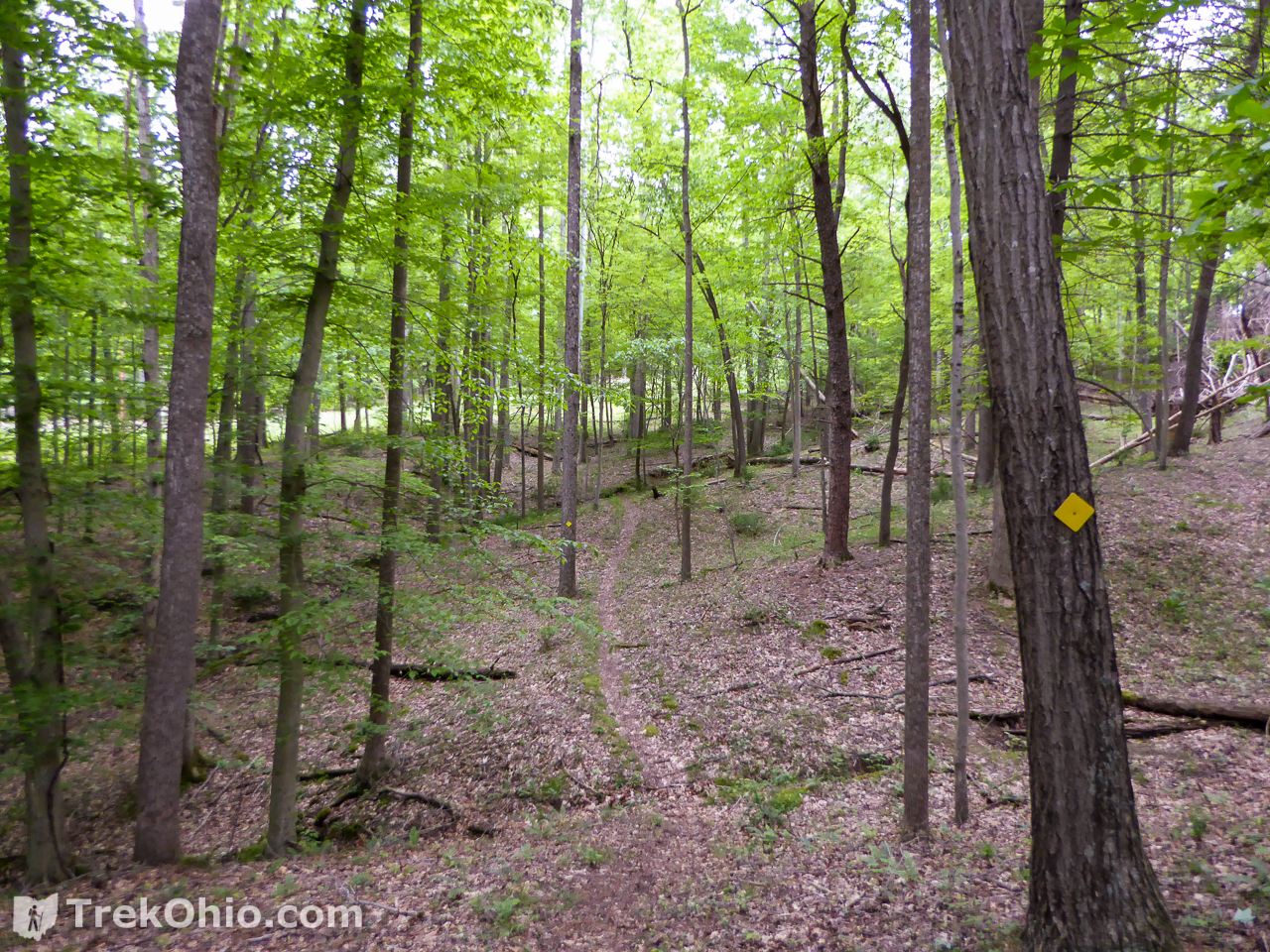
Giant Pine Trail
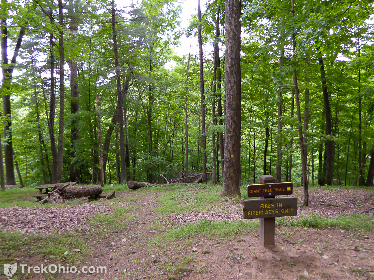
The Giant Tree Trail is a 0.6 mile loop trail. The trail head is across from the lodge parking area. The loop path descends down to a hollow, crosses a small stream and returns uphill back to the starting point. And yes, we did see a few tail pine trees along the way.

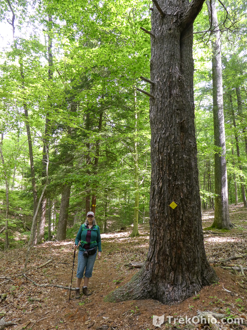
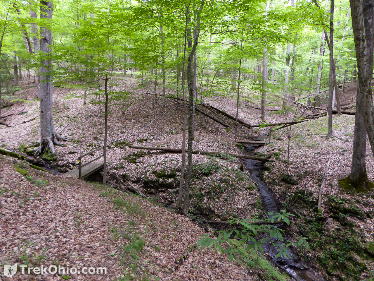
Giant Tree Trail
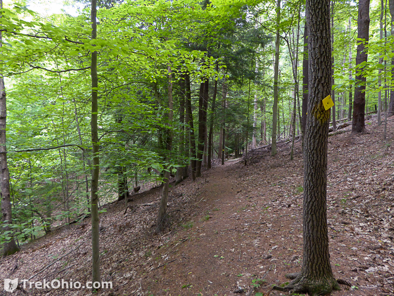
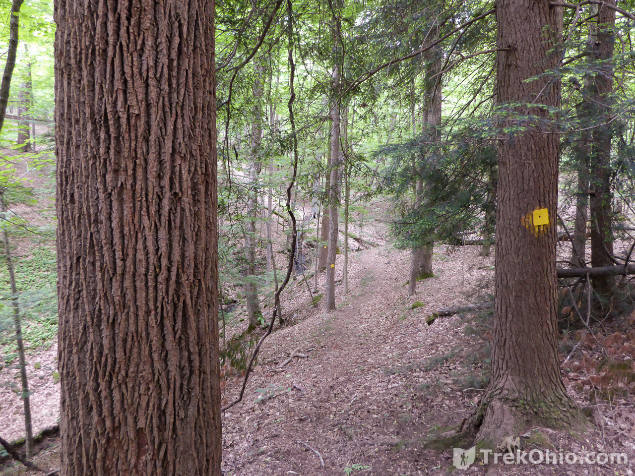
The trail-head for the Giant Tree Trail is adjacent to one of the narrow forest roads. We followed it to picnic area #2 where we to parked. We then walked down the road back to the trail-head. The trail is a half-mile one-way. It drops down to a hollow where two streams join together and then rises up to a roadway on the opposite side of the hollow. It ended up near an area with small cabins. As it is not a loop, you must return via the same trail for a total distance of one mile.
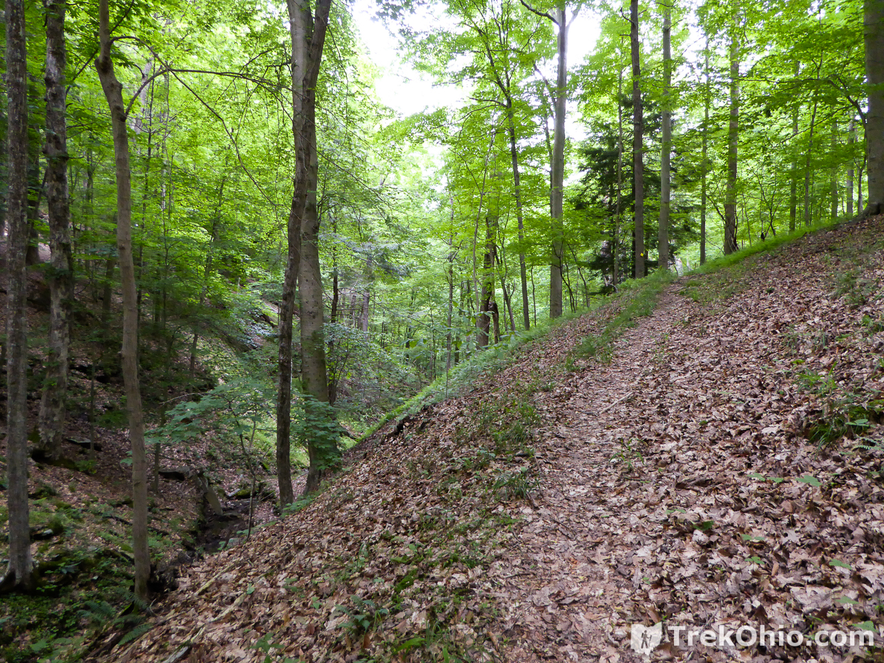
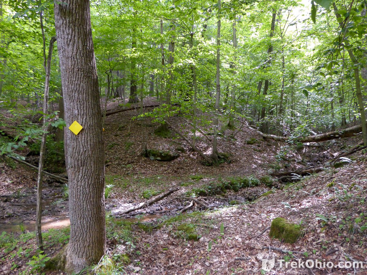
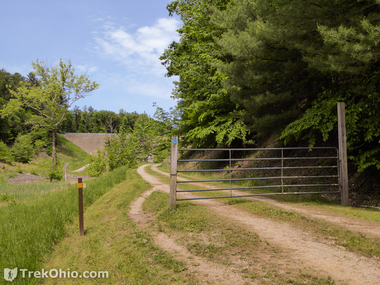
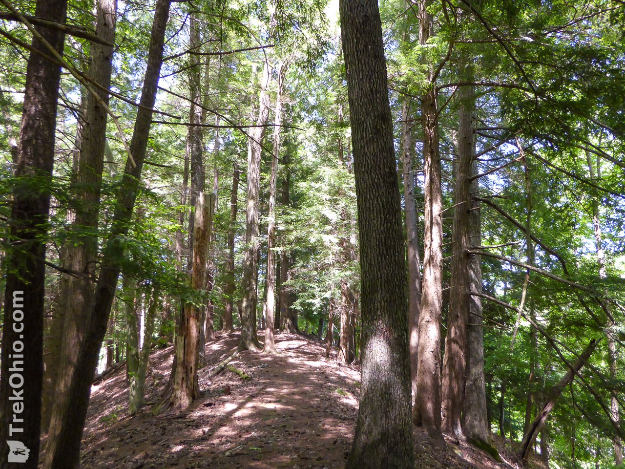
Castle Rock Trail
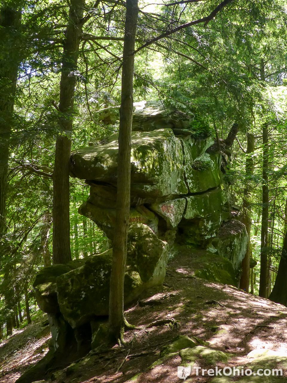
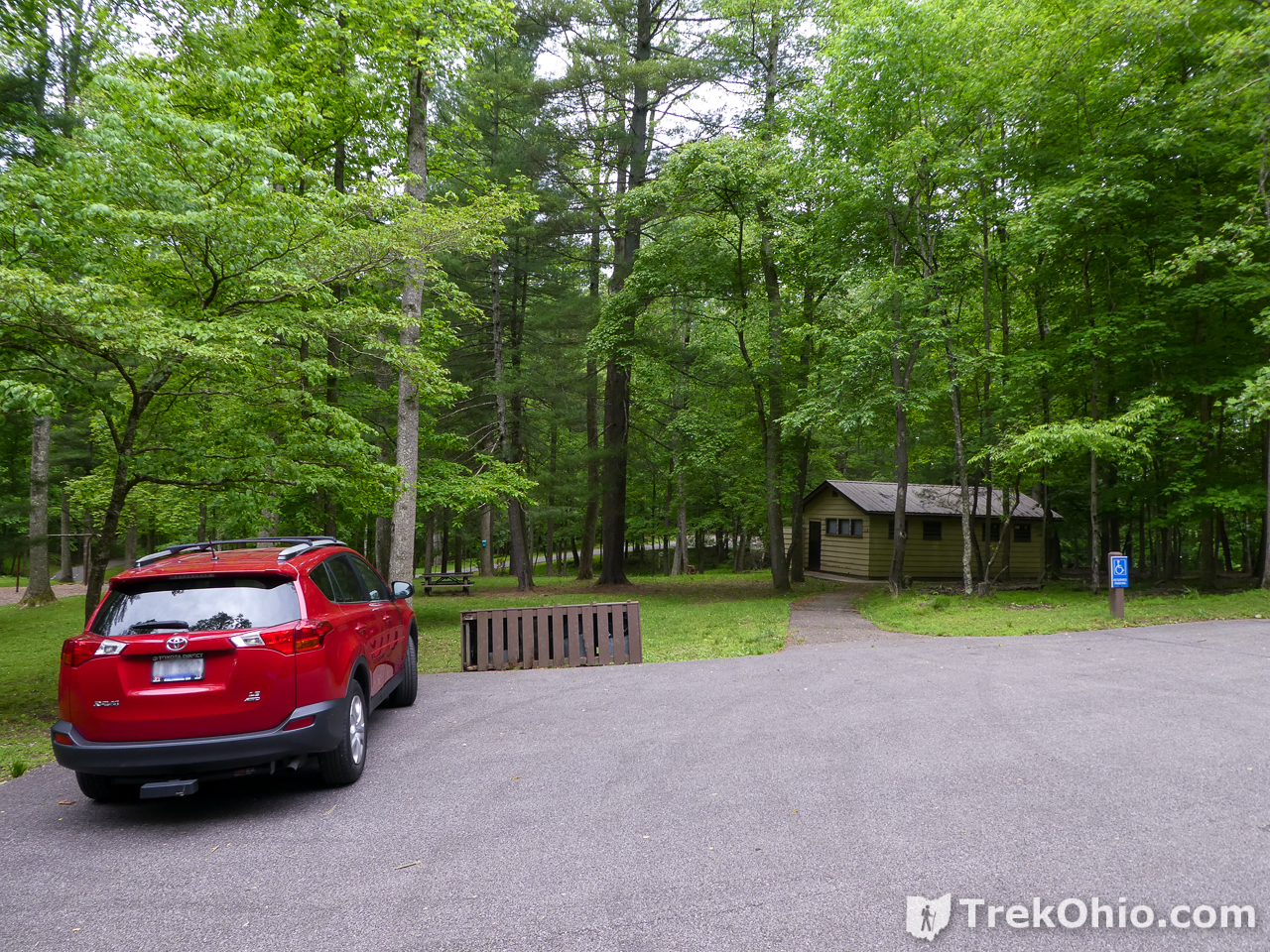
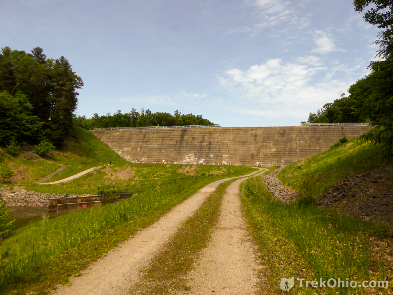
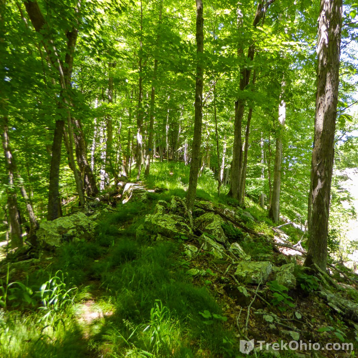
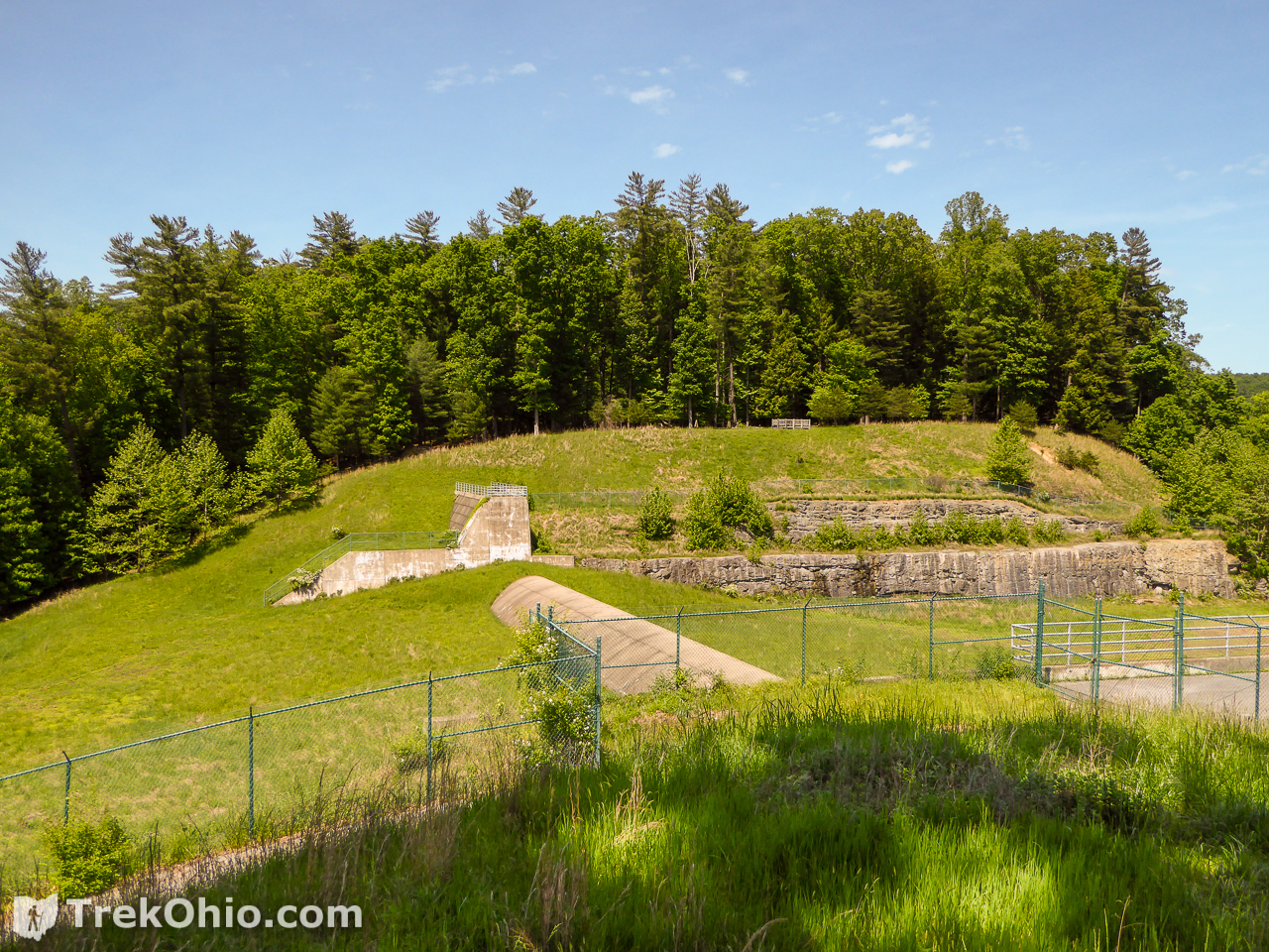
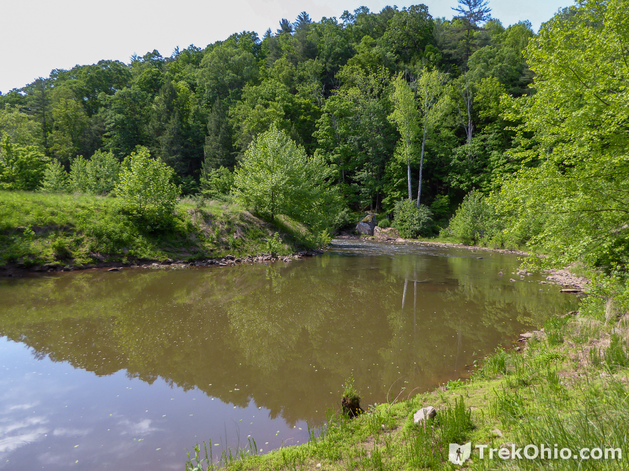
The Castle Rock Trail was one of our favorite trails in the park. Park at the Jughandle Day-use Area near the dam. The trailhead is at the dam and crosses the North Fork at the dam’s base. It proceeds along the creek and makes a sharp turn to the northeast.
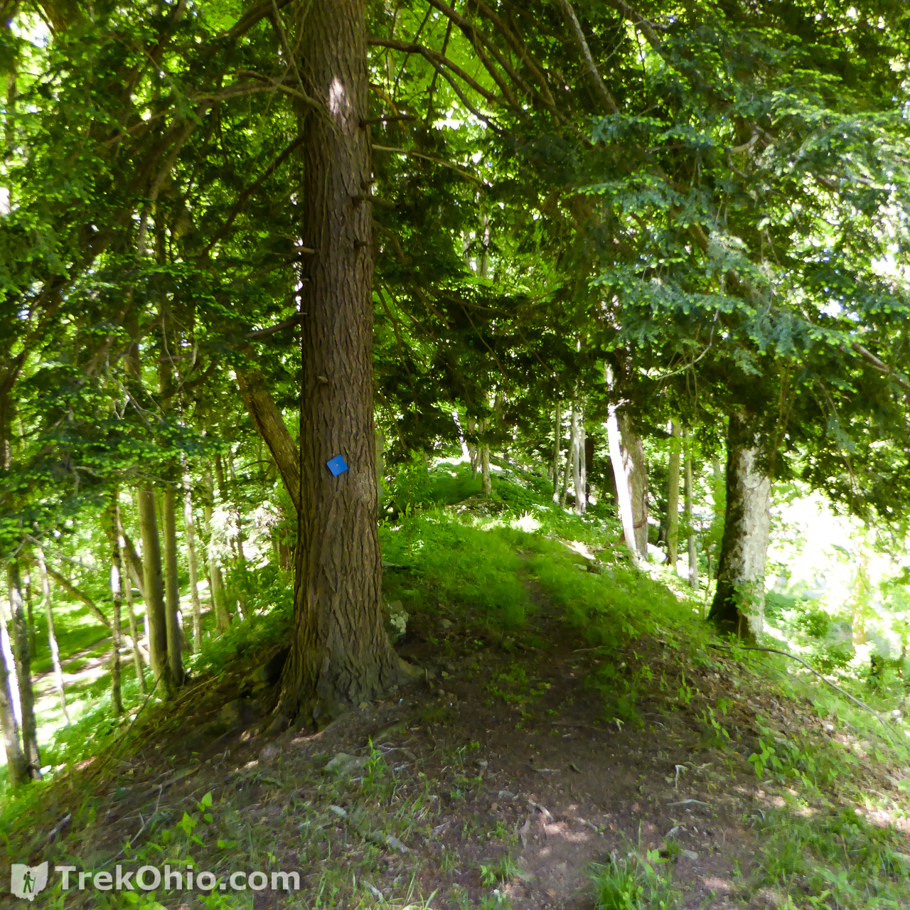
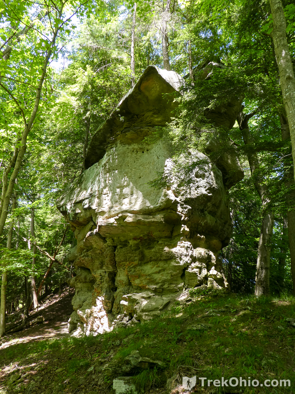
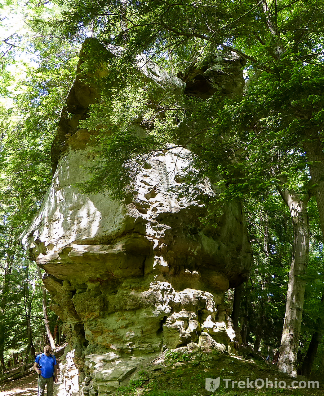
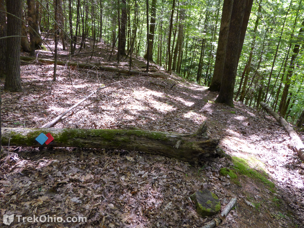
As you come to the bend in the “U-turn”, don’t make the turn. Instead, you look at the ridge that’s inside the “U”. It ascends up from the trail. Because of the shade, it’s difficult to make out, but there is a dirt trail with a blue diamond blaze going up this ridge. Proceed up the dirt trail. As you ascend this ridge there is an increasingly steep drop-off to the trails on either side. Just before you reach the peak of the ridge you’ll encounter a towering rock outcropping ahead of you. This is the castle rock.

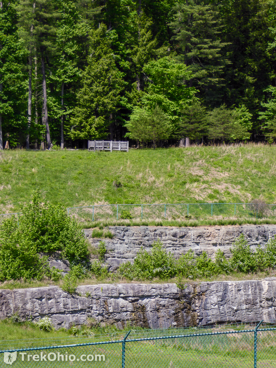
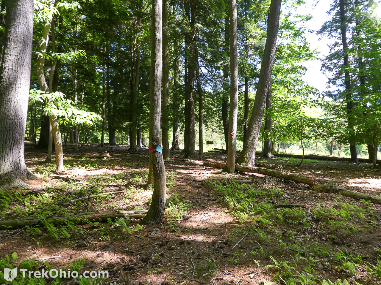
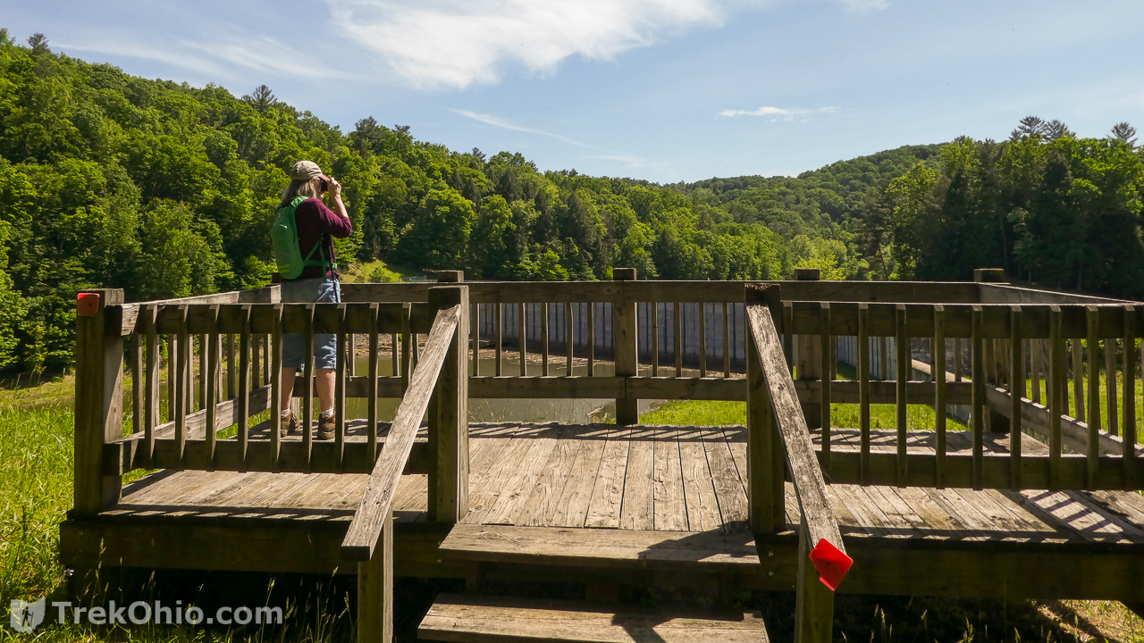
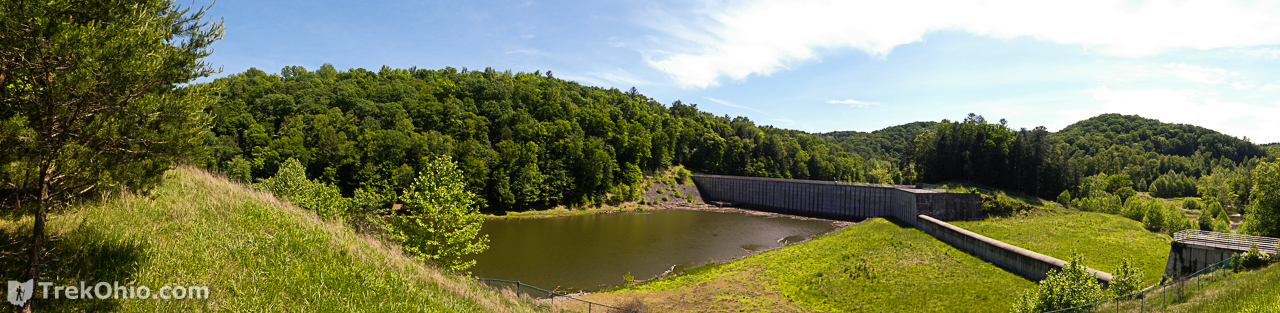
The trail gets steeper here, so take your time, be careful, and enjoy the rock formation. After castle rock, you’ll pass through a pine grove and reach an opening with a scenic view. You can see the top of the dam and the lake beyond. If you look to the left of the lake on the hill side, you’ll notice a wooden deck that is lake’s overlook.
At this point, if you want to visit the overlook, you have three choices.
- Retreat the way you came back to the U-turn of the gravel trail. Take the bend to the overlook trail up to the platform.
- Go cross country directly to the overlook, up very steep grassy slopes (not recommended)
- Go forward and then left to the paved path. Take the path down to the left till it reaches an intersection with the overlook trail. Take the overlook trail up to the wooden platform. On the way back, take the gravel trail all the way back to the dam.
Overlook Trail
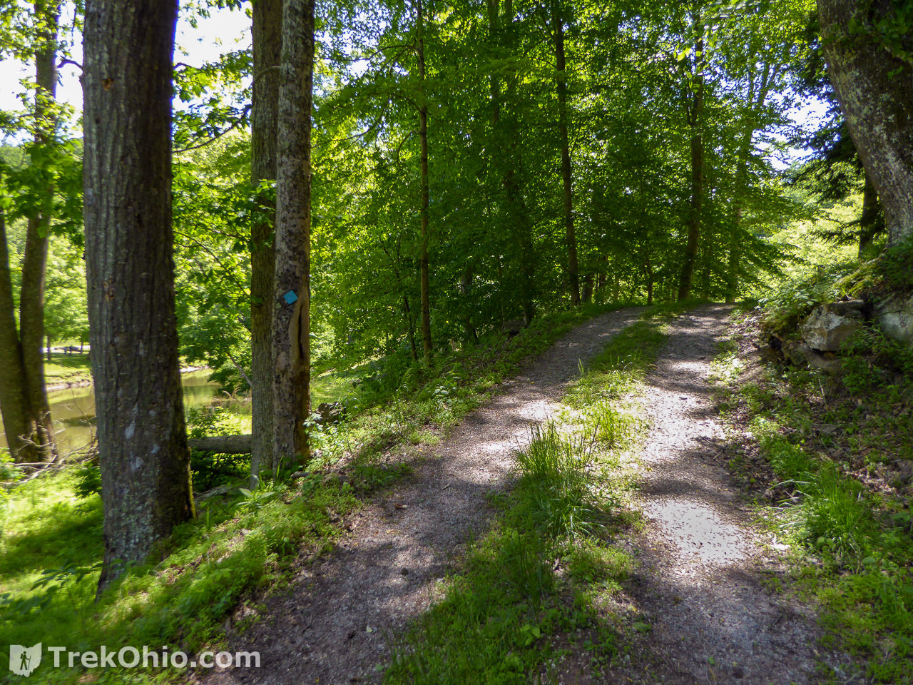
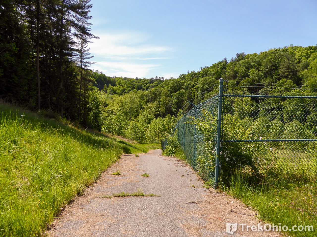
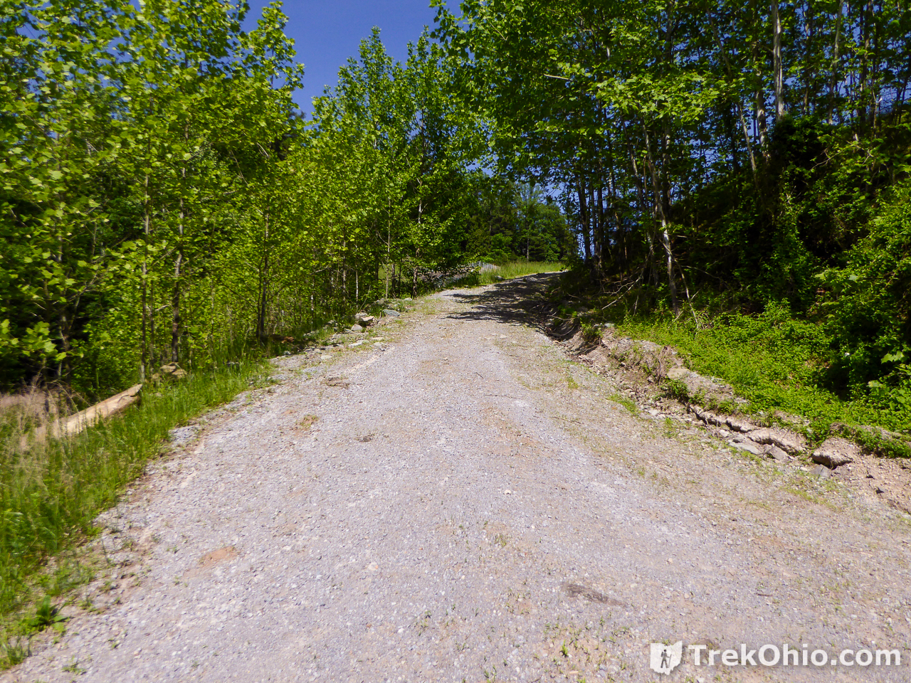
We think the Overlook Trail is so named because it’s easy to overlook. 🙂 From the dam, the gravel trail takes a sharp 180 degree turn (and intersects the Castle Rock Trail) and continues to parallel the North Fork of the Hughes River.
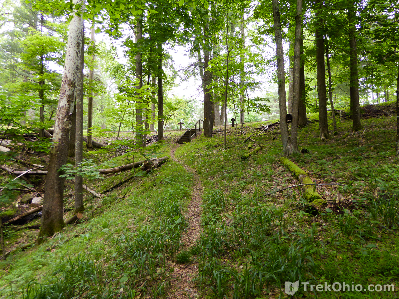
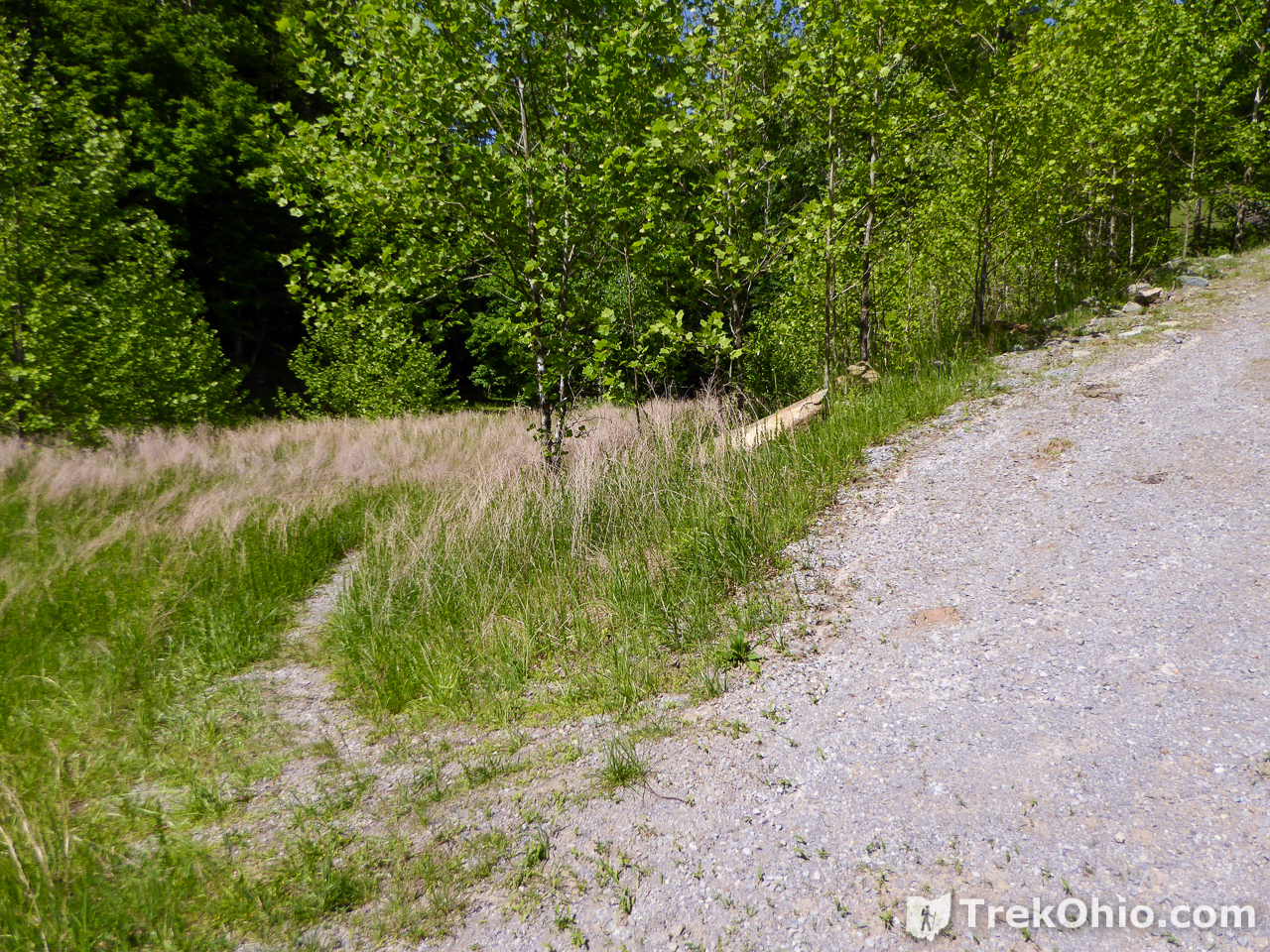
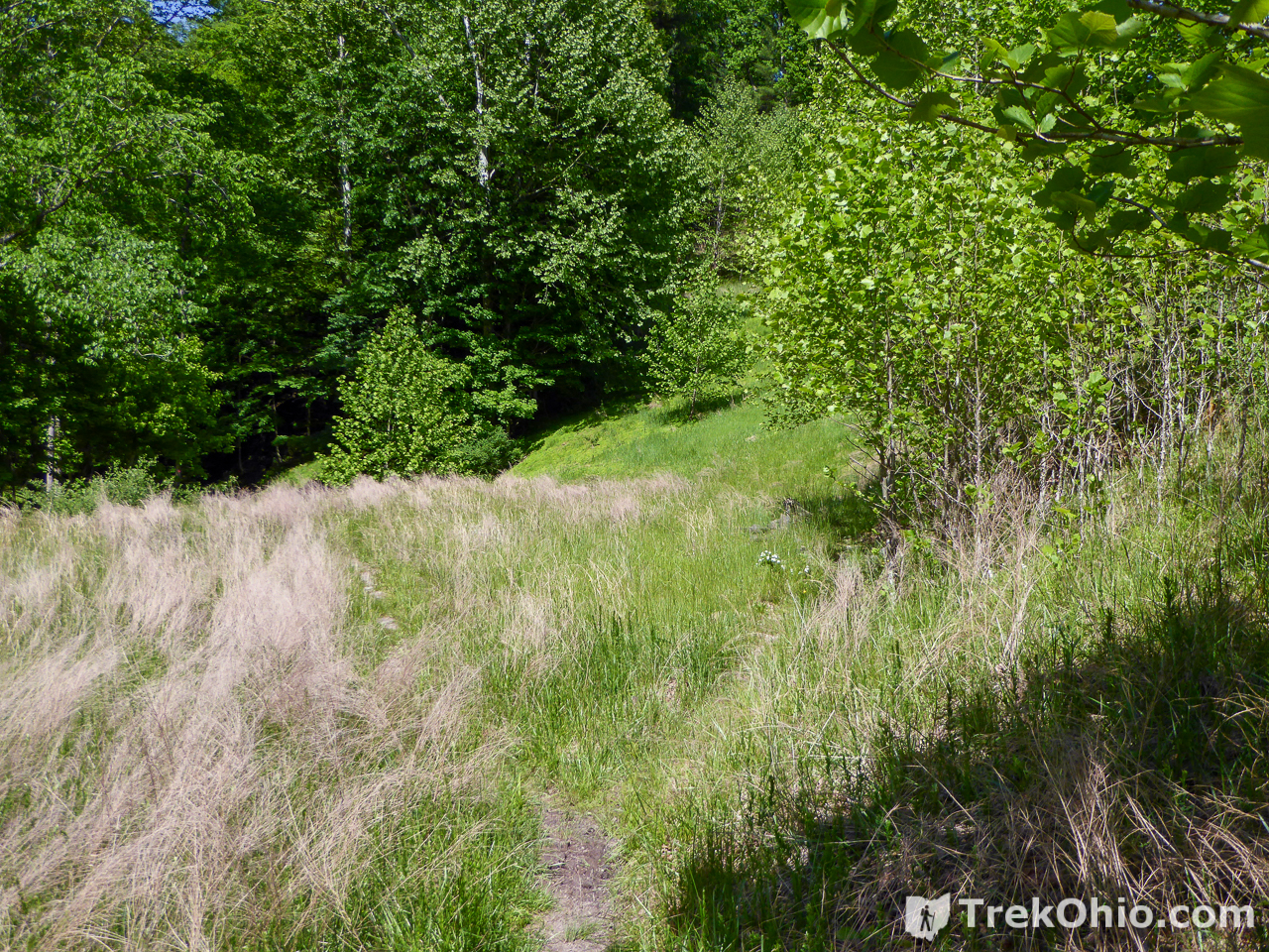
Near the point that the river bends again, the gravel path veers to the right and ascends to the top of the dam (and intersects the other end of the Castle Rock Trail.) Ahead, you’ll discern that the trail continues through the weeds. Although not completely obvious, this is the Overlook Trail. The trail continues through an overgrown field, eventually reaching the woods.
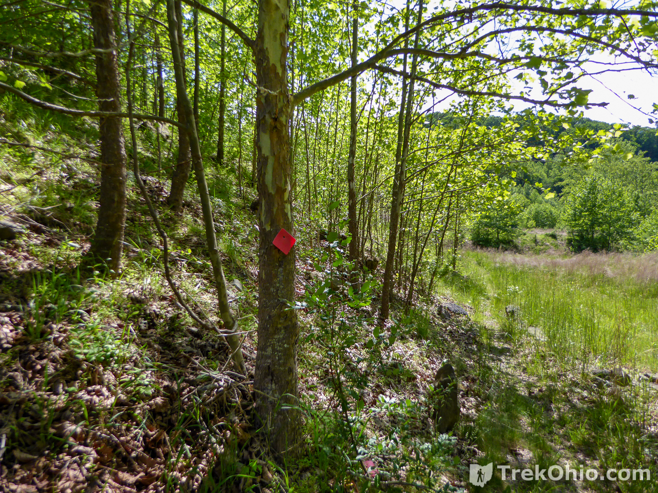
You’ll see both blue and red (Overlook Trail) diamond markers for the trail. When you reach the top of the hill, veer to the right to go to the Overlook viewing deck.

From the platform, you’ll have a great view of the lake and the top of the dam.
Additional Information
- WV State Parks: North Bend State Park
- Greater Parkersburg Visitors Bureau: North Bend State Park
- Big Bend State Park: Trail Map
- Wikipedia: North Bend State Park
- TrekOhio: Fort Boreman Park – in Parkersburg, WV
- TrekOhio: West Virginia: North Bend State Park
Location
- Address: 202 North Bend State Park Road, Cairo, WV 26337
- Geo-coordinates: 39.222452, -81.111069
- Link to Google Maps
More on West Virginia
 Fort Boreman Park – Parkersburg, WV
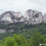 West Virginia: Seneca Rocks
 West Virginia: North Bend State Park
 West Virginia: North Bend Rail Trail