My daughter doesn’t like hiking this time of year when there’s no snow on the ground and the forests are devoid of greenery. As she puts it, “The forests look like a nuclear wasteland.” Although I see her point, there are some advantages to hiking now. If you are considering hiking to some destination where there is no trail (like Trimmer Arch in the Paint Creek Wildlife Area) then going at this time of year means that you will have to contend with the least amount of undergrowth of the year. Similarly there are a number of waterfalls that are partially obscured by vegetation, but if you go before the trees begin to leaf out, you can get a much better view. We found that to be the case with Fallsville Falls in the Fallsville Wildlife Area. However if you like hiking hills as we do, this is also a great time to check them out. Unlike the greener months, it is a much easier to get the lay of the land. From hilltops you can see neighboring hills and the valleys beneath you. With that in mind we recently decided to go hiking at Great Seal State Park. During a previous visit we had wanted to hike the Rocky Knob Trail, but it turns out we had started too late in the day to complete the hike before dusk. So on our return trip to Great Seal Park we made our priority the Rocky Knob.
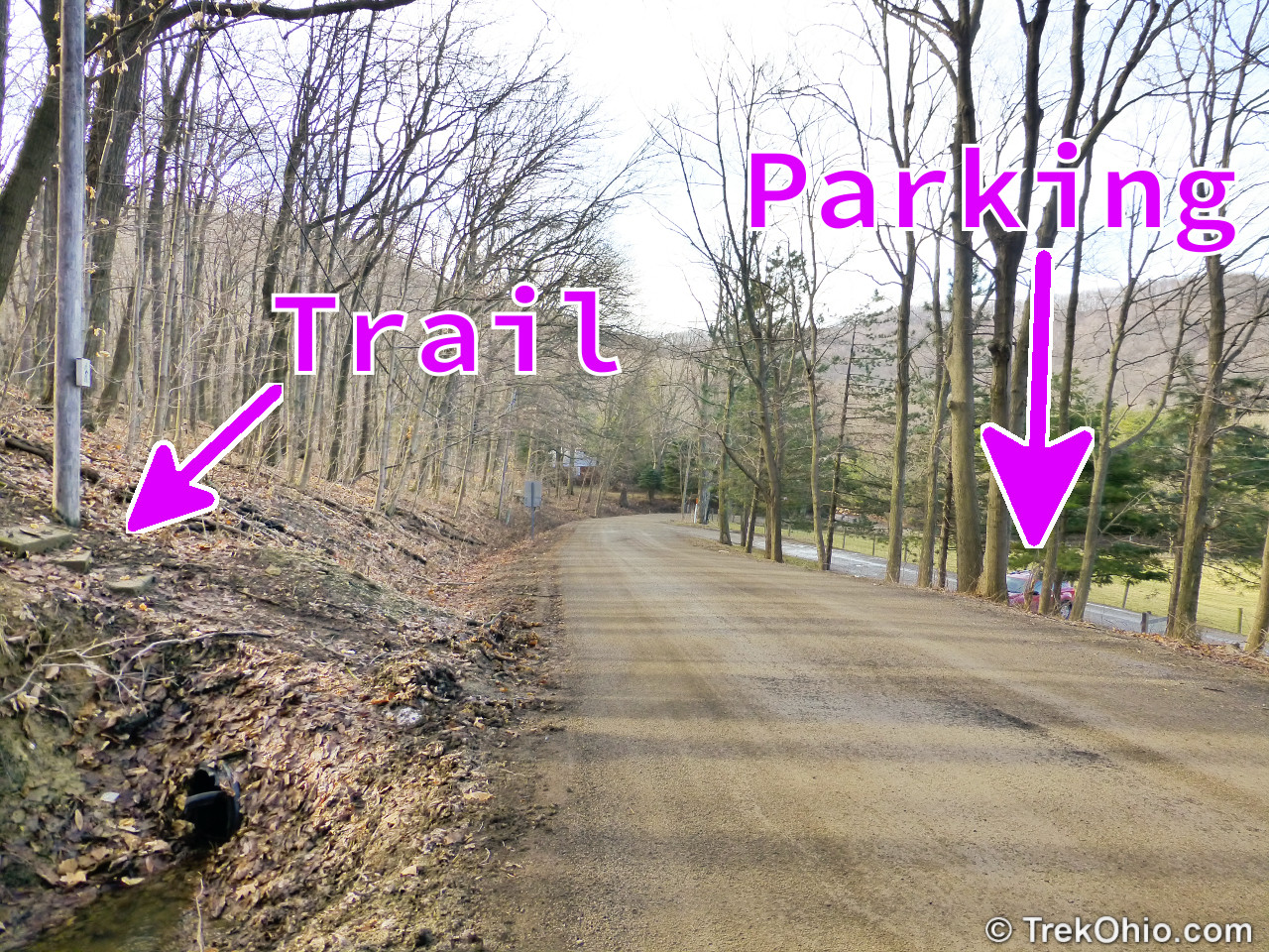
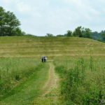
The parking lot is next door to a farm, with pretty views of the surrounding countryside.
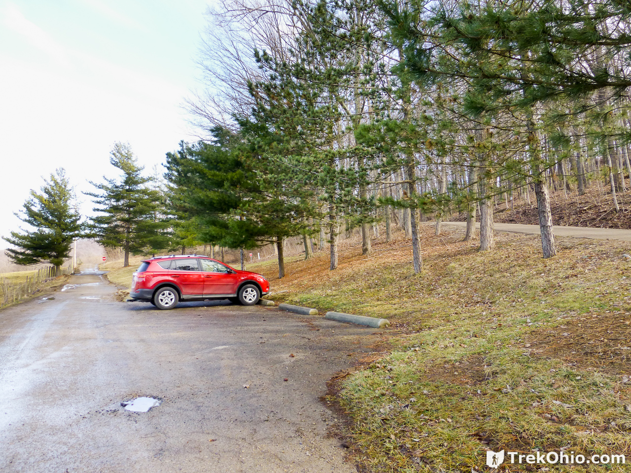
A short walk beyond the car in the photo above takes you to the trailhead. The trail goes up and across the road pictured to the right. Alternatively you can walk over to the road and go up it a short distance.
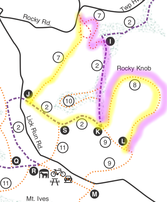
We downloaded a copy of the official trail map and planned on taking the following route. I highlighted our inbound route in yellow and the outbound route in magenta. Each of the trails has both a number and a name. So our intended path was (7) Grouse Run, (2) Shawnee Ridge, (8) Rocky Knob, (9) Mt. Ives, then a different portion of (2) Shawnee Ridge, and finally back to (7) Grouse Run. The trailmap that we downloaded also features black circles labeled with letters. When you reach any of the spots marked by a letter, there is a sign with a trail map, so you can check your progress.
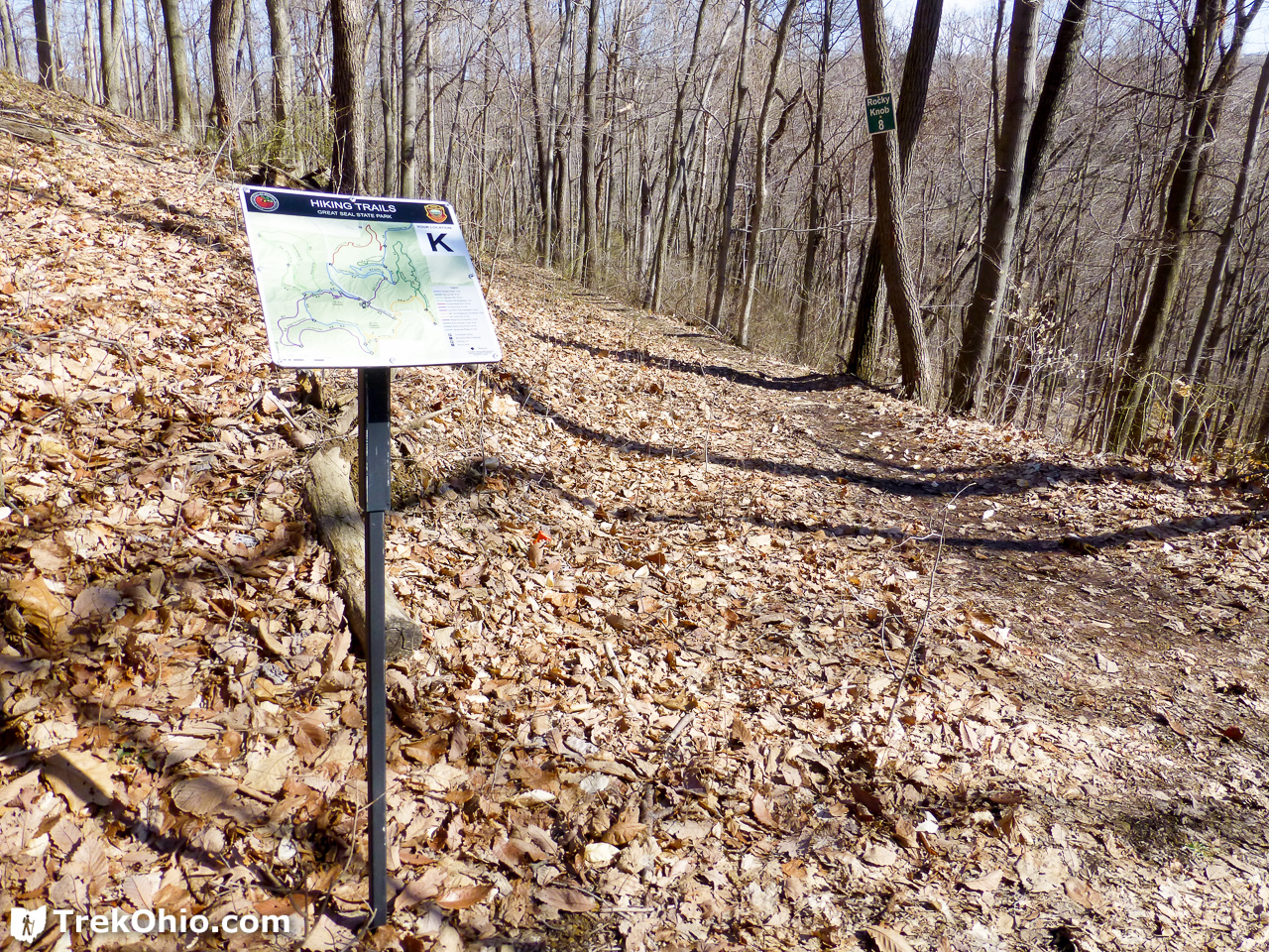
It turns out the trail maps on the sign look quite a bit different from the online map with respect to the Rocky Knob Trail (8). Below is a photo of one of these trail-side maps with our hiking route highlighted.
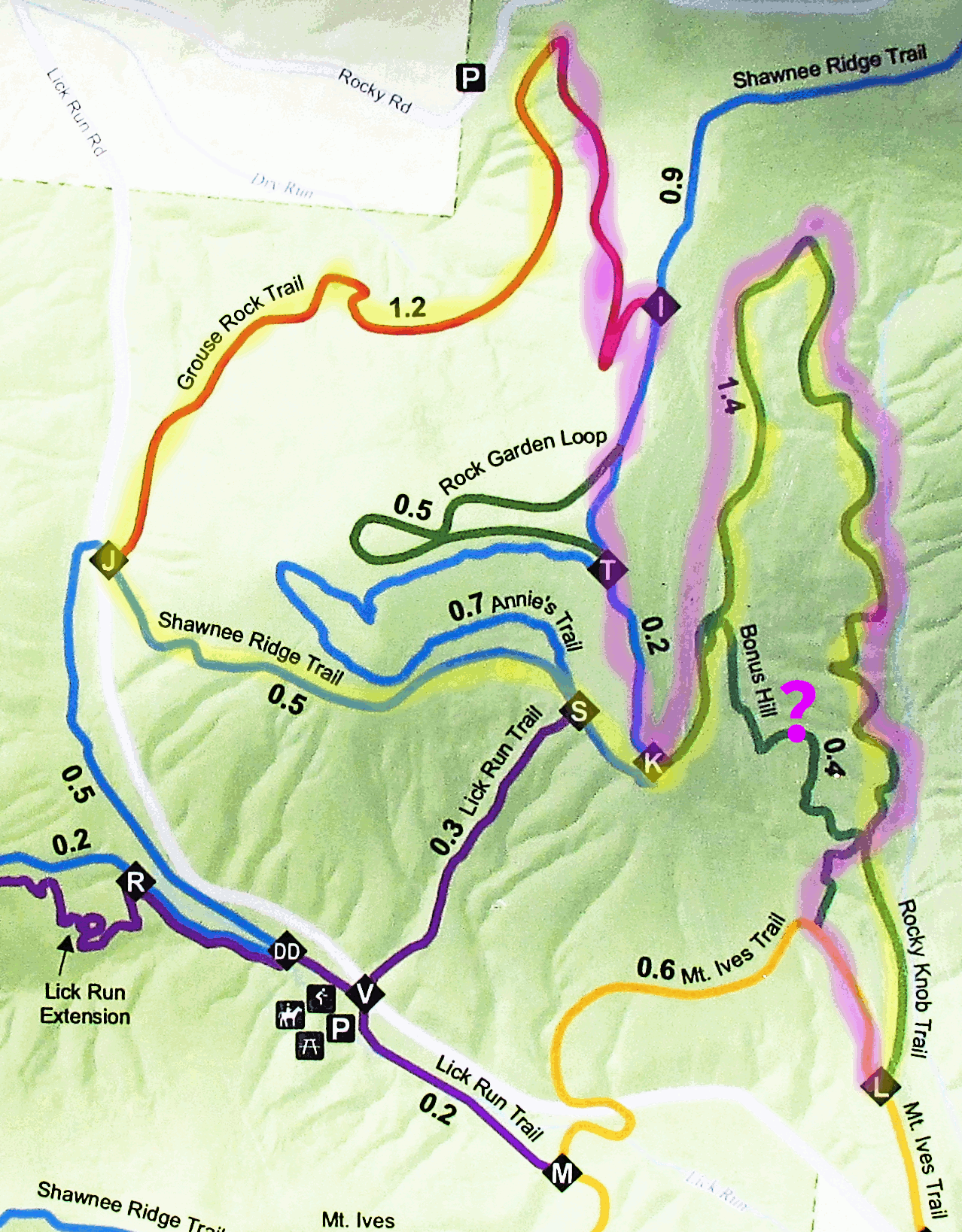
According to the downloaded map, there is a straight route from “L” to “K” via the Mt. Ives Trail (9). But as you can see from the above, trail-side map, the Mt. Ives Trail doesn’t go the whole way back to “K”. On both the way in and the way out we kept an eye out for the trail back to “K” that I’ve marked with a “?”, but sadly we never laid eyes on it. So we ended up having to backtrack our route via the Rocky Knob Trail. Despite doing more backtracking than we had intended, we had a great day and the weather was just perfect. In all we walked 4.86 miles with an elevation gain of 1,178 feet.
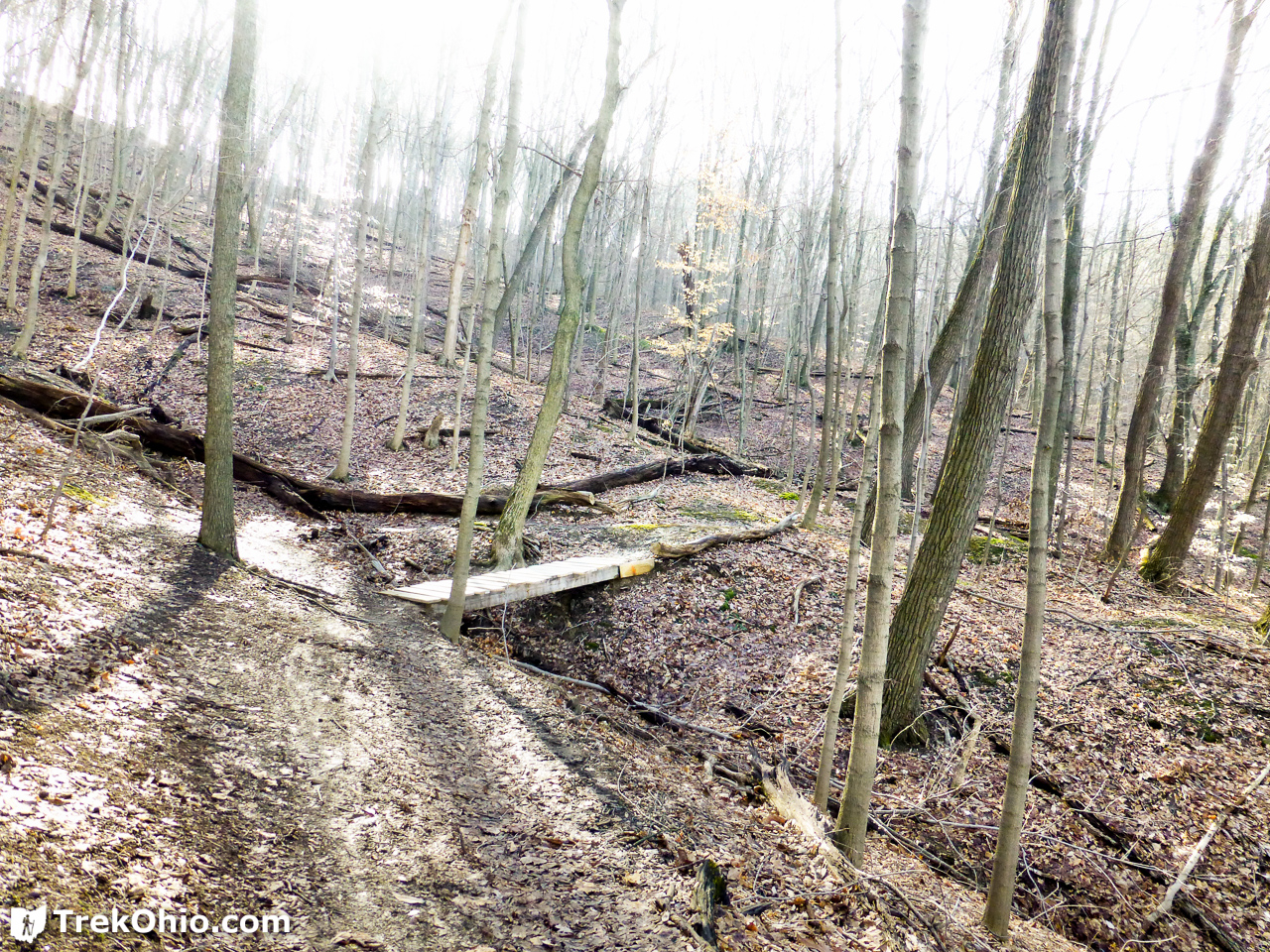
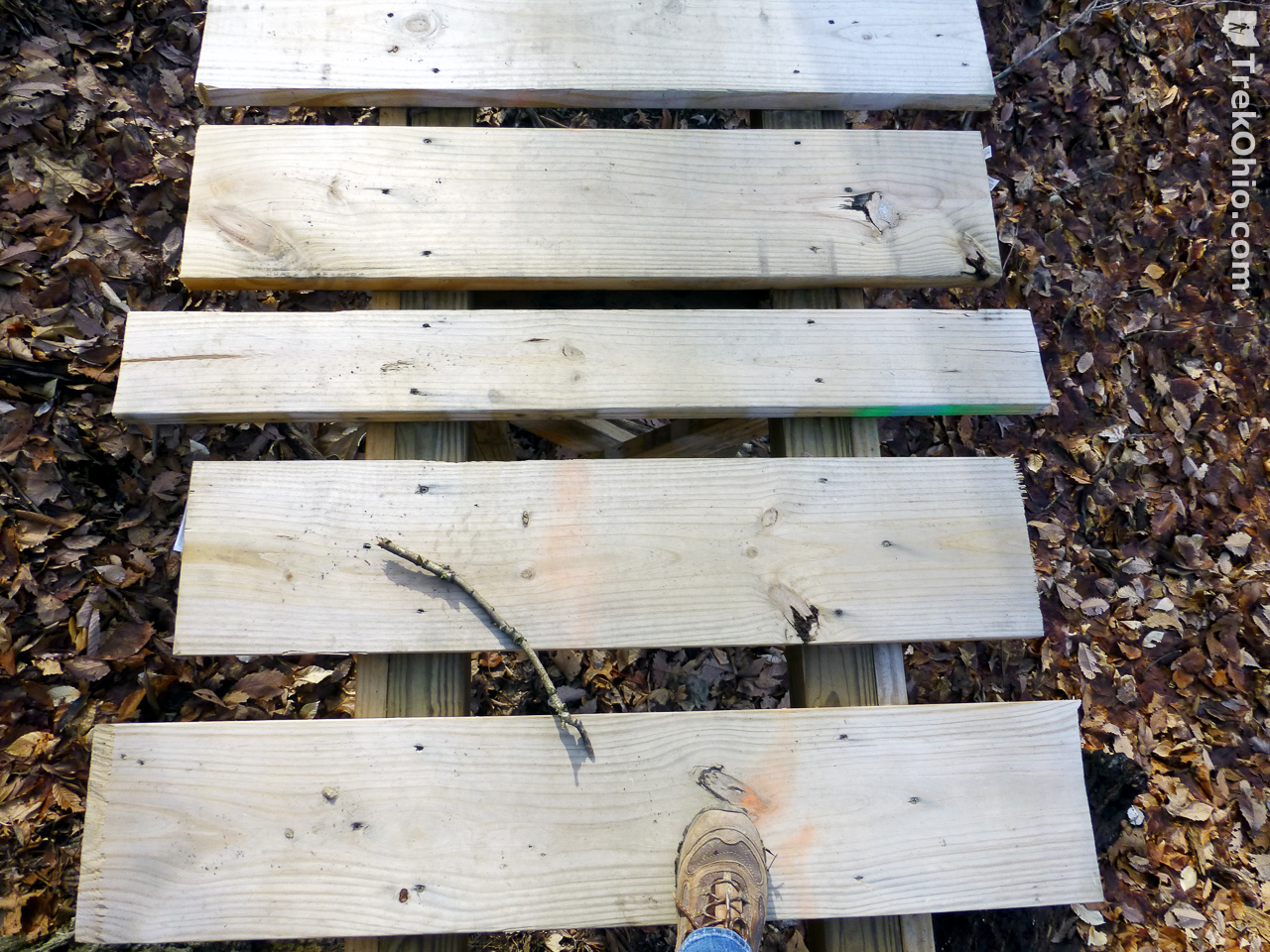
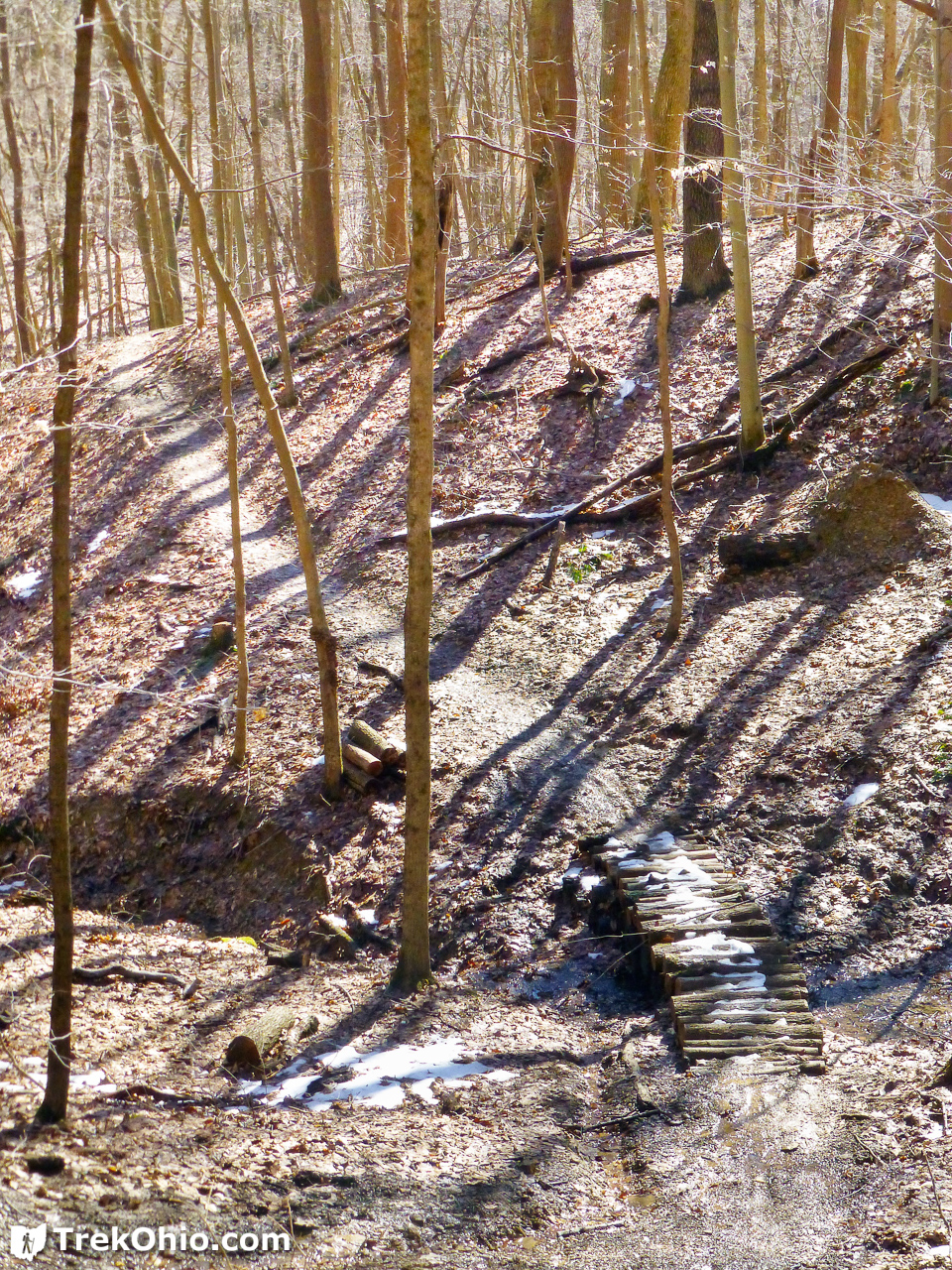
We encountered many, new footbridges during our hike; they were a big help and we appreciated all the work that must have gone into making them.
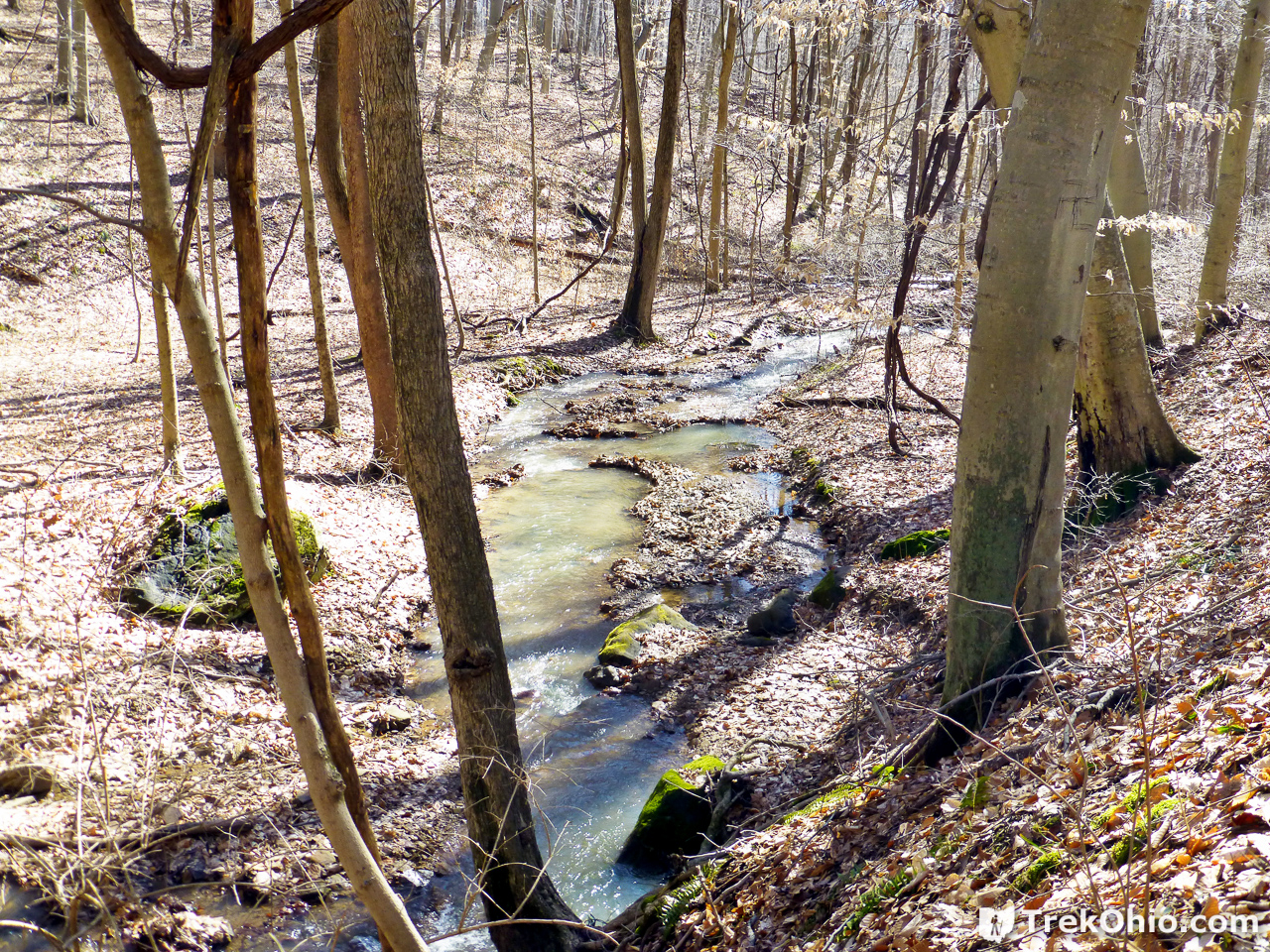
Nonetheless the trail is muddy this time of year, and occasionally we encountered a stream that we either had to wade through or jump over. I tend to avoid jumping while hiking if I can get away with it, because there’s always the possibility that I might land wrong and turn an ankle. And besides, that’s one of the reasons that I wear my Merrell Women’s Siren Waterproof Hiking Boots.

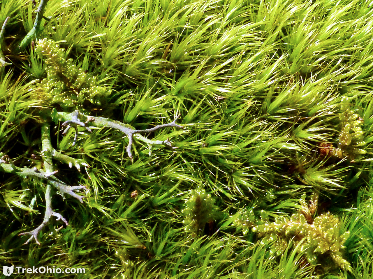
Besides seeing a few, green Christmas ferns left over from last year, what little greenery we saw was mostly in the form of moss.
I stopped to take a closer look at the moss, and in this little patch it turned out that three different species were growing. Can you make them out?
Once we had passed “K” and were on the Rocky Knob Trail, another splash of greenery caught my eye. Because we were in the middle of a forest, and I’m expecting plants that grow in the wild, at first I thought that I was viewing ramps. Wrong!

It turns out this greenery is a patch of daffodils. You might be wondering how this domesticated bulb escaped into the wild. Well, it turns out it didn’t. Instead this is all that remains of some landscaping that that a homeowner once did to brighten the yard of his or her family. Shortly after seeing the daffodils, we came across the ruined foundation of the landscaper’s home.
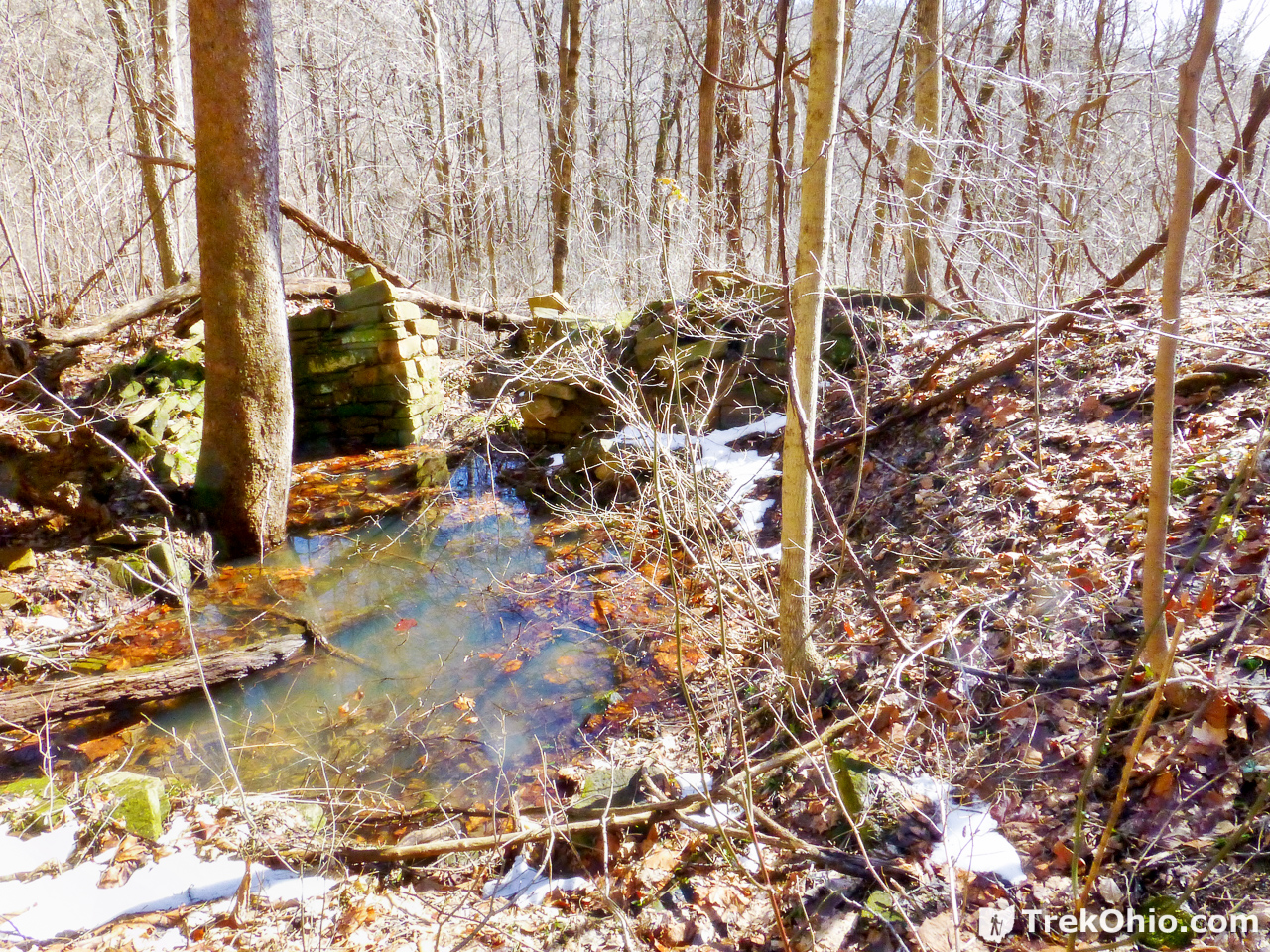
This drives home that by the early 1900s almost the entirety of Ohio’s forests had been cleared to make way for farms. Except for a few stands of old-growth woods, when you are hiking in a wooded trail in Ohio, you are more than likely hiking over land that was previously someone’s home or farmland.
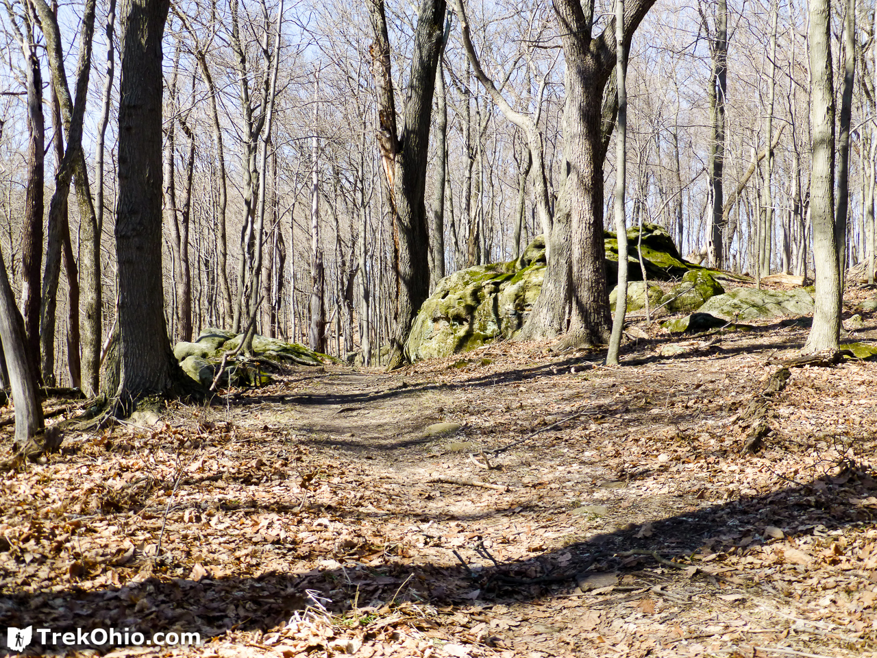
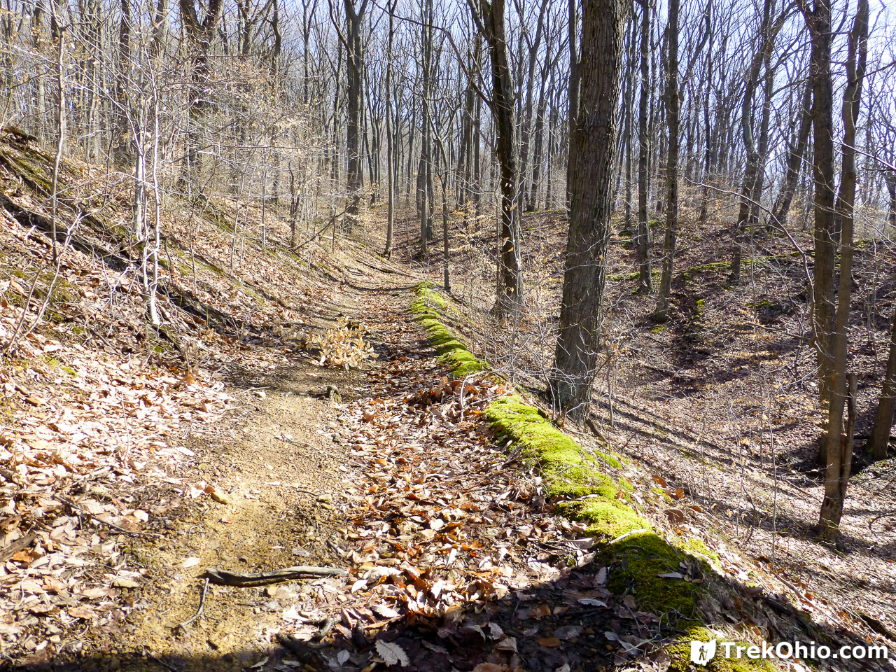
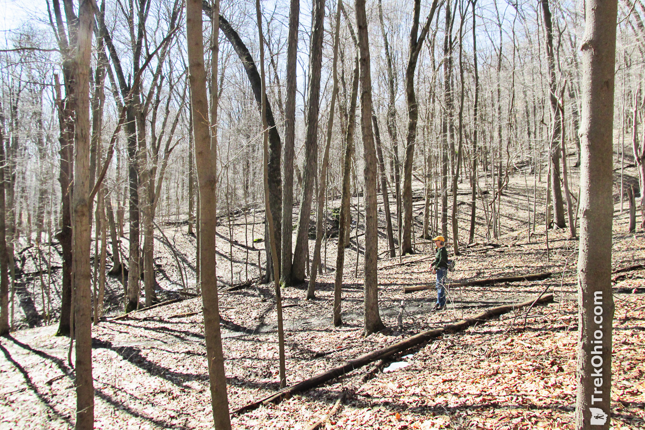
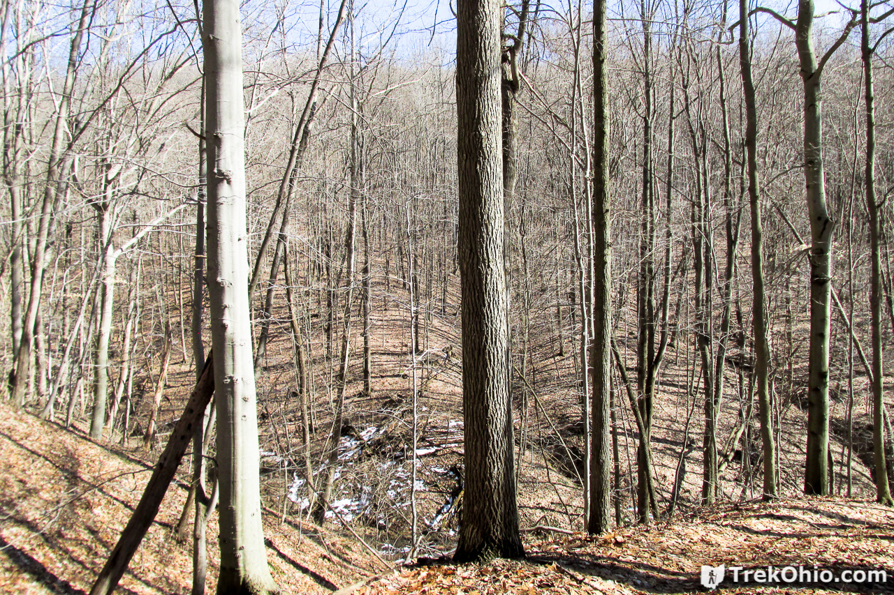
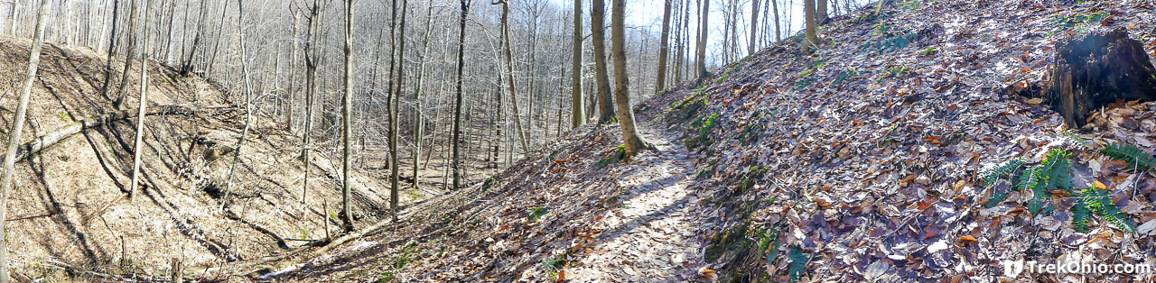
It turns out that we really liked the Rocky Knoll Trail. For much of the trail we were on hillsides over hollows that were collecting water from various streams, so the sounds of babbling brooks accompanied our hike. And we also did get a nice view of the terrain.
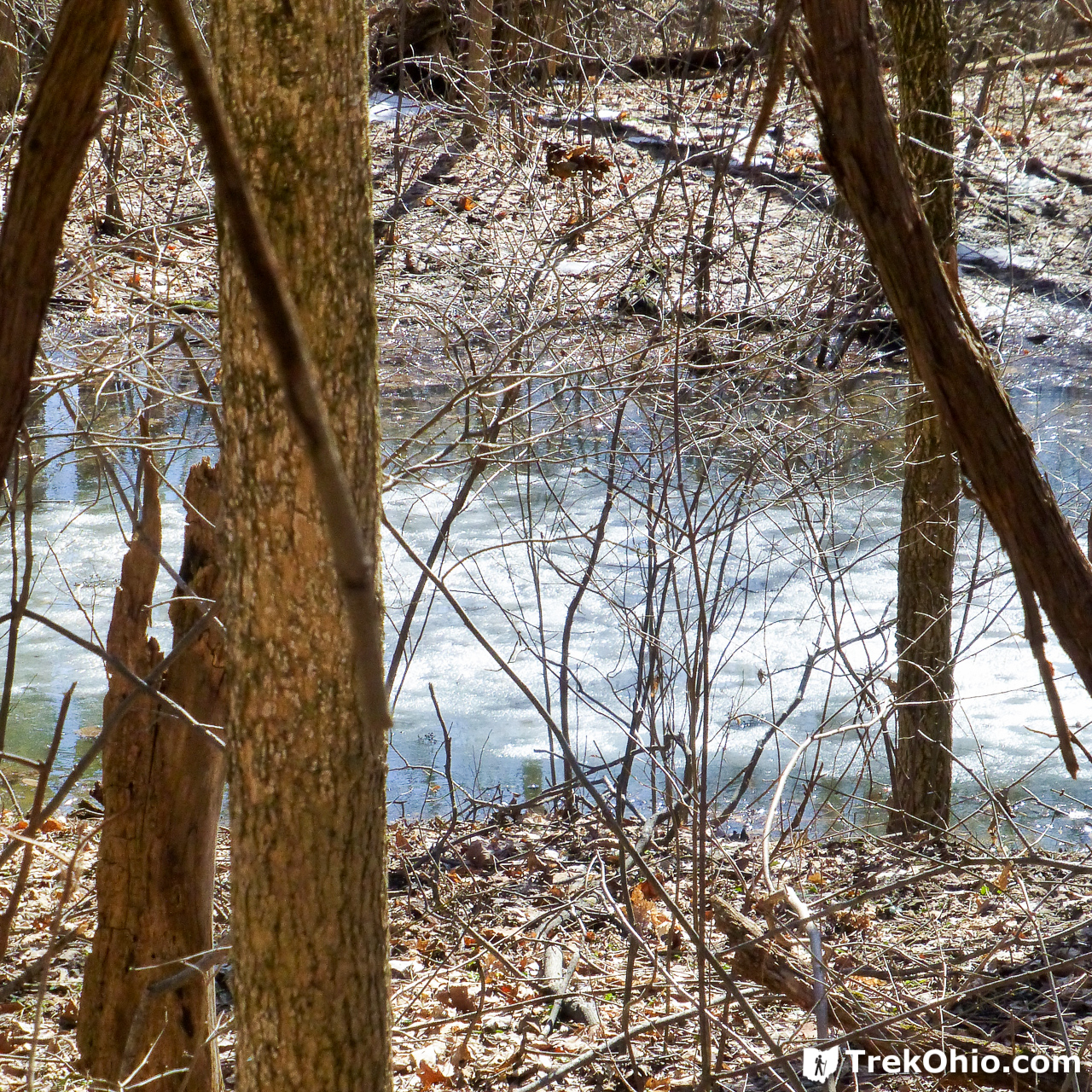
We also passed a large number of vernal pools, many that still had icy centers. Since they are only wet during part of the year, fish can’t live in them. For this reason amphibians reproduce here because it is a relatively safe haven for their young.
After we had double-back on our way to the parking lot, we once again found ourselves on the Shawnee Ridge Trail. As we passed point “T” we were at the trailhead for “Annie’s Trail,” a great place for the weary hiker to relax.

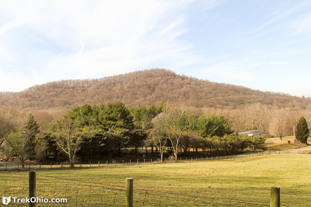
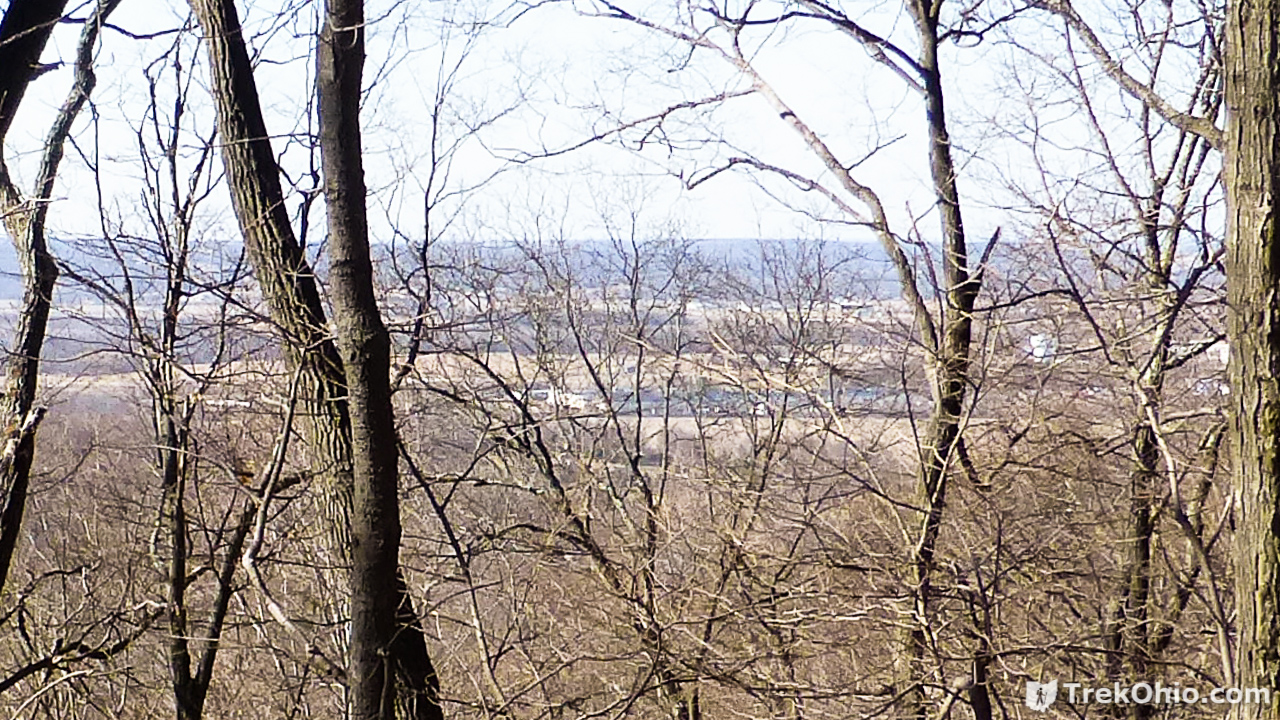
And once we had returned to a ridgeline that made up part of the Grouse Run Trail, we paused to take in the sights. I believe that we were catching a glimpse of Chillicothe, once Ohio’s capital city.

Additional information
- TrekOhio: Ross County Parks & Nature Preserves — This is the county where Great Seal Park is located. Check out this page for links to the official website (including the downloadable trail map), plus information on nearby parks and preserves.
- TrekOhio: Great Seal State Park — Our previous post on Great Seal Park which discusses the park more generally, include an explanation of the park’s name, plus a description of a trail that we hiked to the west of Lick Run Rd.
Location
- Address (approximate): 784 Rocky Rd., Chillicothe, Ohio 45601
- Directions: The parking lot we used is on Rocky Road, 0.45 miles east of its intersection with Lick Run Rd.
- GPS Coordinates: 39.378456, -82.936469
- Google Maps: View on map or get directions
More on Ross County
 Hopewell Culture National Historical Park: Seip Mound
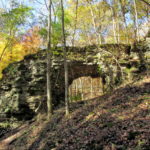 Trimmer Arch
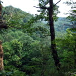 Earl H Barnhart “Buzzards Roost” Nature Preserve
 Hopewell Culture National Historical Park: Native American Artifacts housed in the Museum