Rock Stalls Natural Sanctuary is a private preserve that is owned and operated by Camp Akita, but the management of Camp Akita also allows access to the general public. So this past Sunday Bob and I decided to stop by and see what we had been missing.
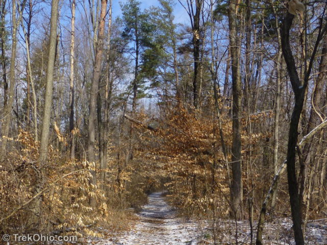
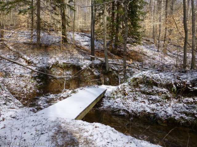
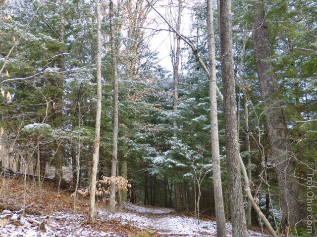
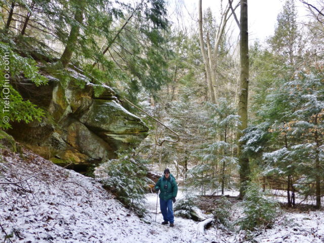
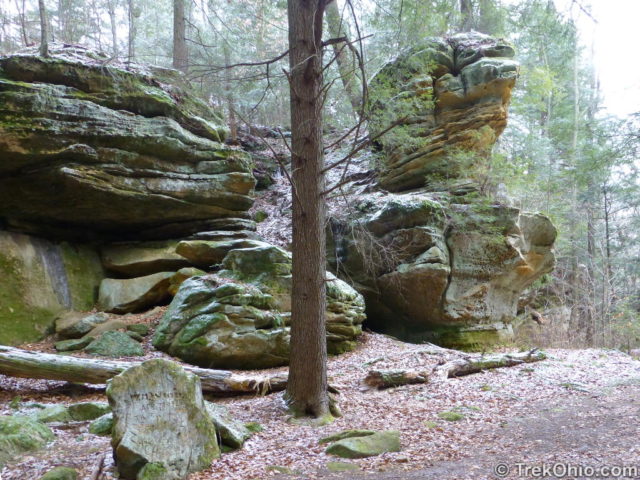
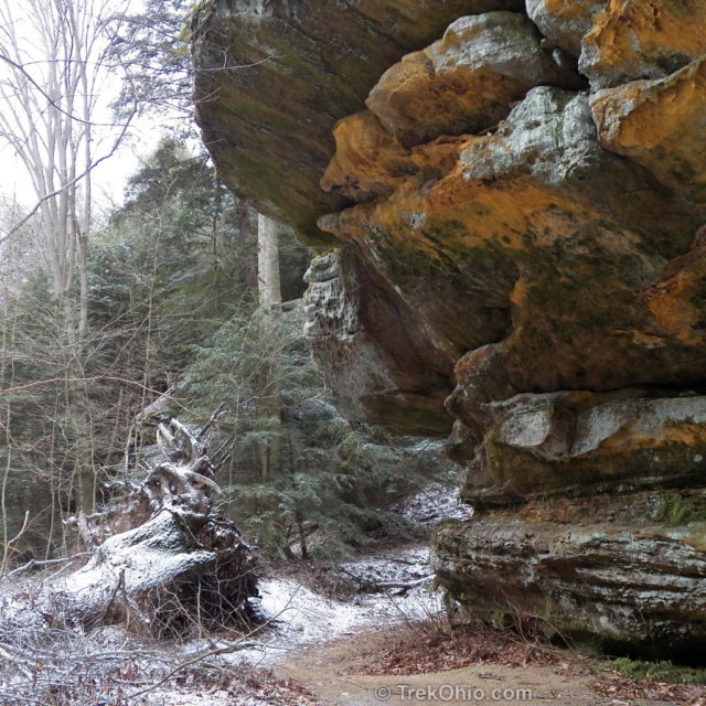
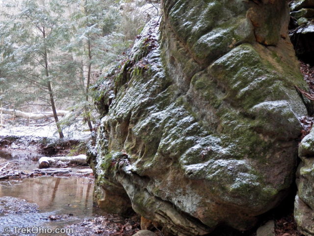
I’ve published a GPS trace of our hike at the end of this article. From the parking lot at the western end, you go a short ways until the trail branches. You can take either branch because this portion of the trail is a loop. We decided to follow the branch to the right (counter-clockwise). About midway through the loop you encounter a conifer forest and stairs. The stairs leading up complete the loop. But the stairs leading down take you to the main attraction: the ravine floor complete with cliffs, outcroppings and waterfalls. Below are a few photos from the trail head to the point where we reached the stairs and descended to the bottom of the ravine.
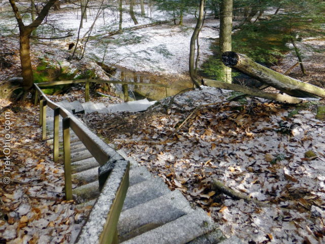
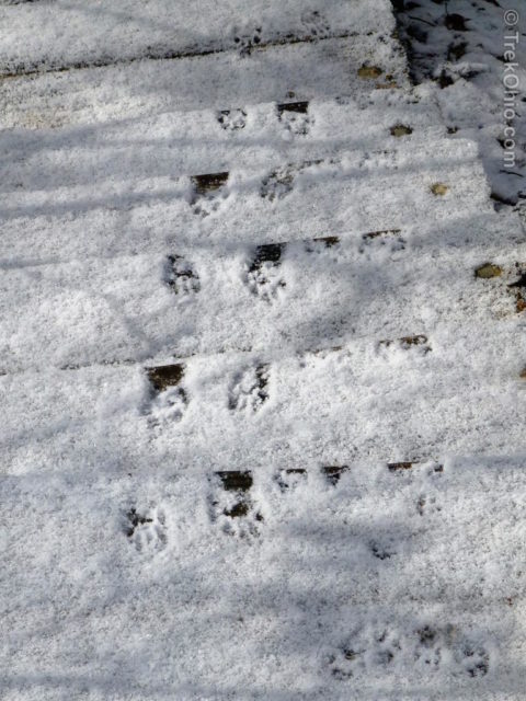
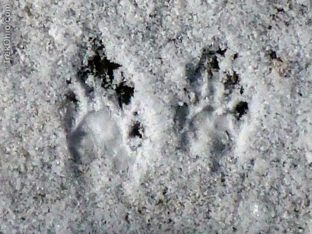
An animal apparently decided to use the stairs to tackle the steep climb up from the ravine. I believe the tracks are those of a mother raccoon. If you look toward the right-side of the photo, you’ll see the small tracks of one or more youngsters who accompanied her. At the end of the article I’ve included a link to a kid-friendly guide to identifying animal tracks.
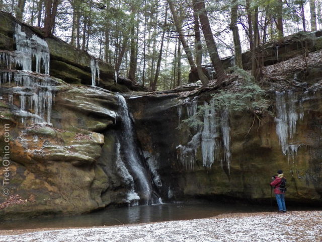
The weather conditions for our hike were ideal. Besides preserving animal tracks, the light snow accented the contours of the land, and I’ve always thought that snow on pine boughs is charming. The cold weather also meant that we would be seeing icicles on the ravine walls.
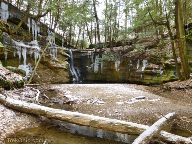
To walk to the end of the box canyon to see the falls, you have to wade across several streams. I was wearing waterproof hiking boots that worked like a charm.
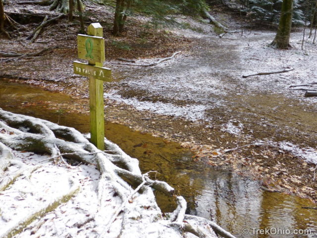
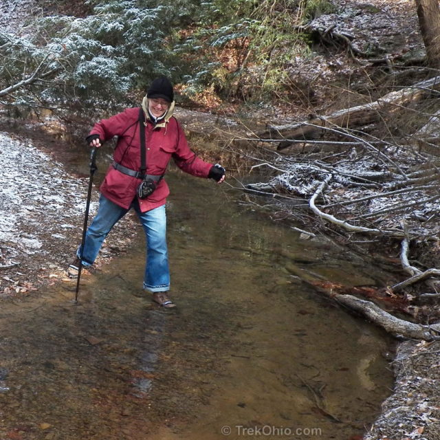
The walk down the ravine was really pleasant. We investigated a recess cave, walked past icy cliffs, and enjoyed sunny, winter weather. Despite being there on a weekend, we only encountered one other party during our hike.
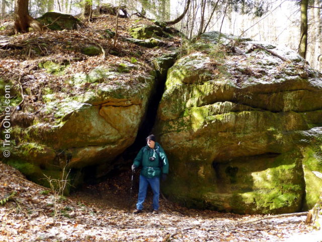
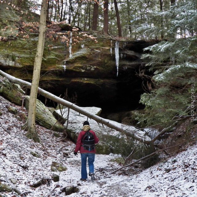
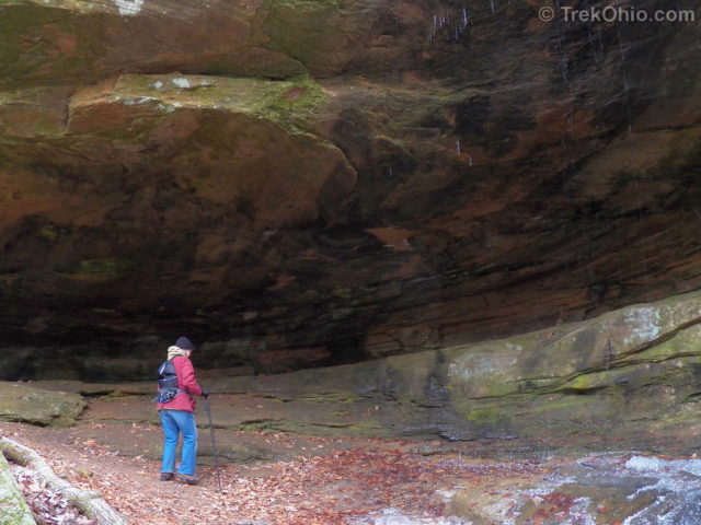
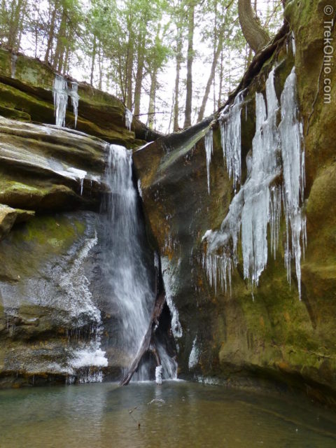
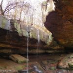
I loved the waterfalls at the end of the box canyon. It wasn’t all that big, but it was very pretty and the icy cliffs around it made for a very picturesque setting.
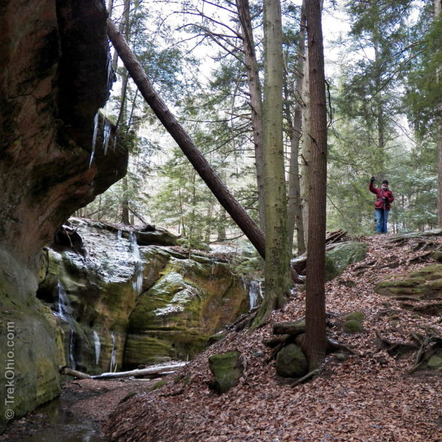
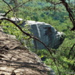
The hill to the right in the above photo is very steep, so if you decide to climb it use caution. I only went up there to get a good vantage point for viewing the other falls. However from this point it looked like I could follow a ridge up and onward. Apparently it went the whole way up to the rim of the ravine. Bob and I didn’t follow this path though. Instead we retraced our steps through the ravine and went up the steps. However we later met up with the other party again. One of individuals in this party told me that his party had climbed up to the rim following this ridge, and that he wished that he would have used the steps like us since the alternative route on the ridge was narrow and had a fifty foot drop
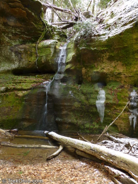
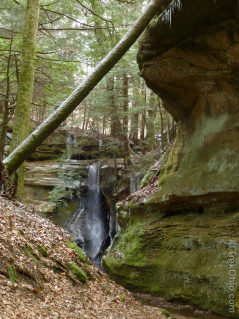
I realize that the panorama below is very small when viewed in the context of this blog, but if you click the link in the caption you can view a much larger version. The Android operating system on Bob’s phone was recently updated, and he can now use his phone to take 360° spherical photos. The panorama below is just a strip from such a sphere. The opening in the middle is the path that we used to access the falls. The falls to the right of the path are actually opposite the path. The stand of trees to the left of the path are on the hill that I climbed up to view the other, trickling falls. The ravine to the left of this hill is another access route to the little, trickling falls.

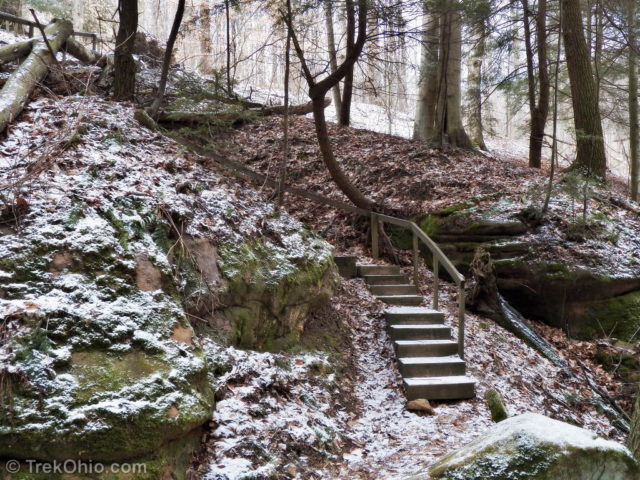
These are the same stairs that we descended to get to the base of the ravine. Once you climb them, there is a gap were the trail meets up with the loop. We had come in on the trail that was now to our left. Instead of going back that way, we completed the loop by going up another set of stairs. Because of the snow it wasn’t all that apparent, but on the way back there were huge beds of ground cedar. It’s a very interesting plant because it has spores that are used in special effects to create fire balls. If you’d like to read more about it, I did an earlier post on it: Ground Cedar and Its Combustible Spores.
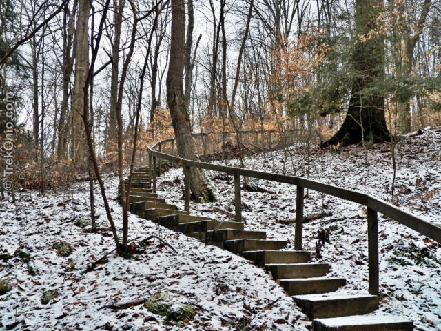

The entire hike was only 1.5 miles; however, the stairs were quite steep, and if you visit during cold weather, you need waterproof footwear. Bob and I both had a great time. The Hocking Hills region is a great destination for hikers, and just where you think you’ve seen everything, you discover a new hiking gem like Rock Stalls Natural Sanctuary. Because the preserve is owned by Camp Akita, it is possible during the summer that camp counselors may be leading some activity there while you are visiting.
Additional information
- TrekOhio: Hocking County Parks & Nature Preserves
- TrekOhio:
- Camp Akita — owns and manages Rock Stalls Natural Sanctuary.
- First Community Church of Columbus, Ohio; Camp Akita is affiliated with this church.
- Animal tracks ID cards (PDF) — a two-page, illustrated overview of animal tracks
Location
- Address: 29886 Rock Stull Rd., Logan, Ohio 43138
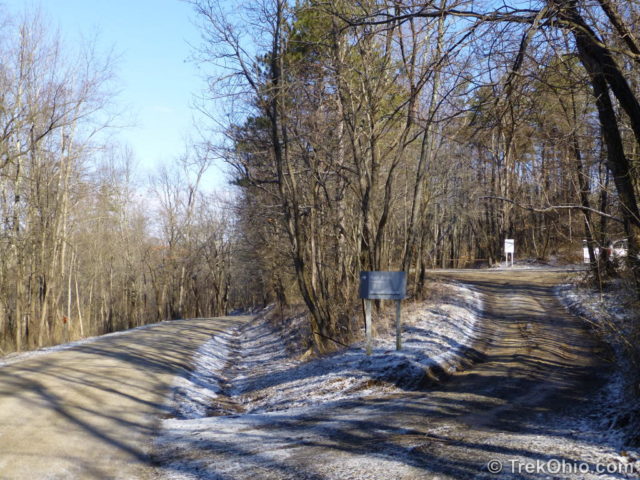
- Directions: From US-33 take the exit for OH-664 north. Turn left onto Logan Horns Mill Road. The road comes to a three-way fork – take the right most fork – Rock Stull Road and proceed 0.4 miles. You’ll see a small sign and an entrance to a small gravel parking lot on your right. The trail-head is on the far end of the parking lot.
- GPS Coordinates: 39.6265859, -82.4588647
- Google Maps: View on map or get directions
The park is open daily to the public between 9:00 a.m. and 5:00 p.m. Access is limited to those on foot. The following activities are prohibited: camping, hunting, fire-making, rock climbing, rappelling, and disturbing plants.
Note that there are no restrooms at the preserve; however, there are rest areas on either side of US-33 just to the west of the intersection with OH-664.
In the GPS trace below, we followed the southern (bottom) portion of the loop in, and the northern (upper) portion of the loop out. From the eastern portion of the loop, there are stairs descending into the ravine. There are also stairs going up toward the parking lot on the northern portion of the loop.
More on Hocking County
Now there you go giving away one of my secret get-aways. I have seen the large falls with ice to the top. Amazing. I’m not sure if you saw it, but there are steps carved by native Americans near the smaller falls. You climb the ridge by the smaller falls. Just a few steps and not real safe, but very cool. You end up by the hard right turn that starts taking you up the hill.
John, we’ve only been there twice. When we were there in the winter, the carved steps that you describe were too icy to use, but we did take them up to the cliff rim during our second trip in the autumn. I had no idea they were carved by native Americans!
Oh, and sorry about giving away your secret get-away. 🙂
Thanks so much for this post–I had no idea there was a sanctuary open to the public at Camp Akita! I love your frozen waterfall photos!
Beautiful Deb & Bob! The snow and ice adds magic to your photos!
Stunning!! Such fascinating terrain… I love seeing you guys against the outcroppings — it gives a real sense of perspective! Just magnificent.
Thanks, FeyGirl. I do think having a person in some of these landscape photos helps to give the viewer a sense of scale. However I’m also a bit cautious about photo-bombing all our landscapes. 😀
Glad you went to this park, so I could see all these beautiful photos! 🙂 I really enjoy them.
Thanks for stopping by, marviiilous. It’s always great to hear from you. 🙂
…. Nice, beautiful territory – I’ll bet it’s even more spectacular when the trees aren’t naked. I’m surprised that they have stairs for the slopes, but make you wade the streams. Whatever – it looks like a great place to wander about. Thanks for taking us there!
Jim, since there were bridges earlier on before we descended into the ravine, I was surprised that there weren’t any within the box canyon. Maybe they figure that bridges are for wusses.
That is a very pretty park! Loved the panorama and the icy falls!
Thanks, Sally! Bob was experimenting with his phone in creating the panorama. It’s amazing what phones can do these days.
Beautiful! Love icy waterfalls…
Icy waterfalls are the best kind. 🙂
These are really lovely photos. This terrain reminds me of the state park here in Illinois where I like to hike. Waterfalls are always so magical to come across!
Thank you, Annie. It was fun for us to explore a new area. Are there gorges in the area where you hike in Illinois?
Yes, Deb. There are. I enjoy Starved Rock State Park in Utica, Illinois. There are canyons with waterfalls similar to those in your photos. Our part of Illinois is very flat, but it’s amazing that the area around this state park has high bluffs, hills and canyons.
I can tell I would liked Starved Rock State Park, too (what an interesting name!). Much of Ohio is flat, too.
Check out my post from just over a year ago – Feb 5th, 2012 for some info about Starved Rock including how it got its name. Would love to show you around some time if you are ever out this way. http://howtospyonbirds.wordpress.com/2012/02/05/prey-for-us-thelma-and-louise-go-wild/