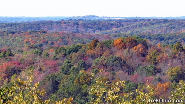
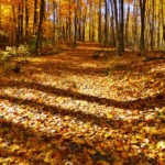
Sunday was a cool and sunny autumn day. Bob and I decided it would be a great day to check out the fall color at Scioto Trail State Park. There are two sites at Scioto Lake where you can get a view of the surrounding forests from up high. One is the park’s fire tower and the other is a place known as the Vista. In both cases there is parking right at the site, so you don’t have to do any hiking to take advantage of the view. But of course if you decide to go to the fire tower there is a long climb up the stairs. The enclosed structure at the top is closed to the public, so the idea is to climb to the topmost landing on the stairs.
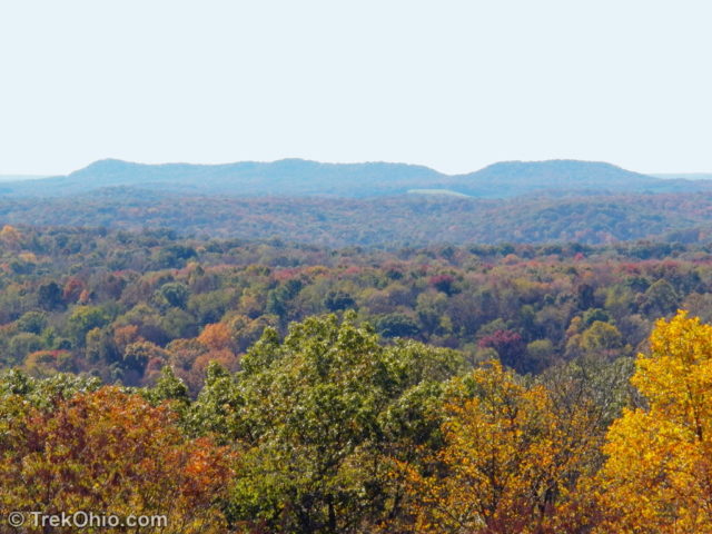
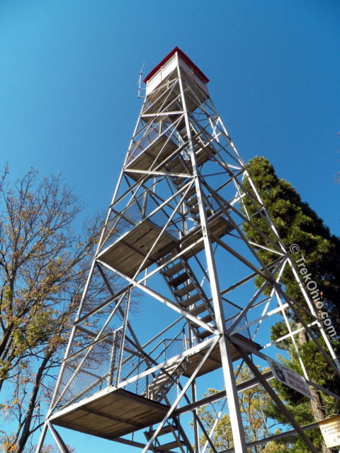
The Ohio Department of Natural Resources stopped using fire towers to detect fires back in 1978. Fire detection is now done via flyovers. But visitors are still welcome to climb the towers (at their own risk) to take advantage of the views they afford.
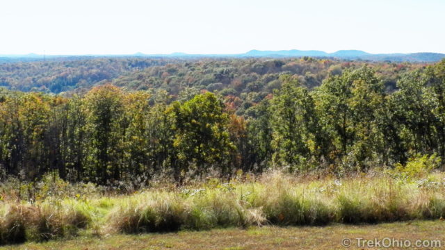
While talking to a staff person at the park’s camp store, we learned of an alternative place to view the fall colors known as the Vista. After she described its location, we noted that the site is even labeled on the park’s map just to the right of scale information at the bottom of the map. I thought that the view from the Vista was just as impressive as the one from the fire tower with the added bonus of not having to climb any stairs. A buffer field is kept tree-free so that visitors can view the surrounding landscape from this hilltop.
Besides taking in the view from these two heights, Bob and I also wanted to go on a hike. During May of the previous year, we had visited the park to go hiking (as described here), but this time we wanted to try a different trail. Below is a GPS trace of our hike. As you can see on the topo map below, this is a hilly region. We started at Lake Caldwell at the northern end of the trace, ascended 464 feet to the ridgeline and followed that for a while, descended to Lake Stewart, and then did a return hike on the same trail back to our starting point.
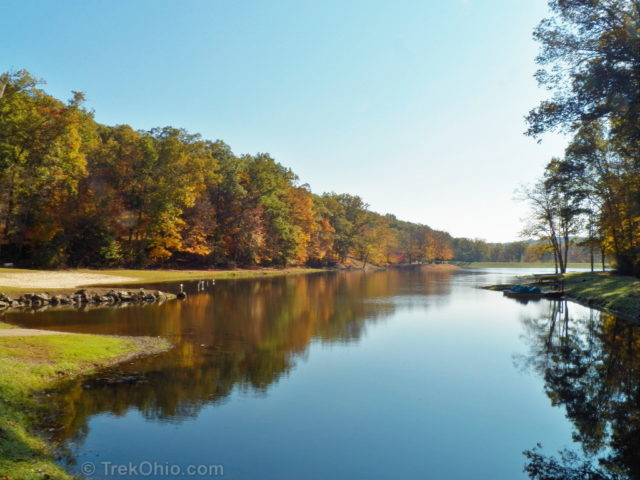
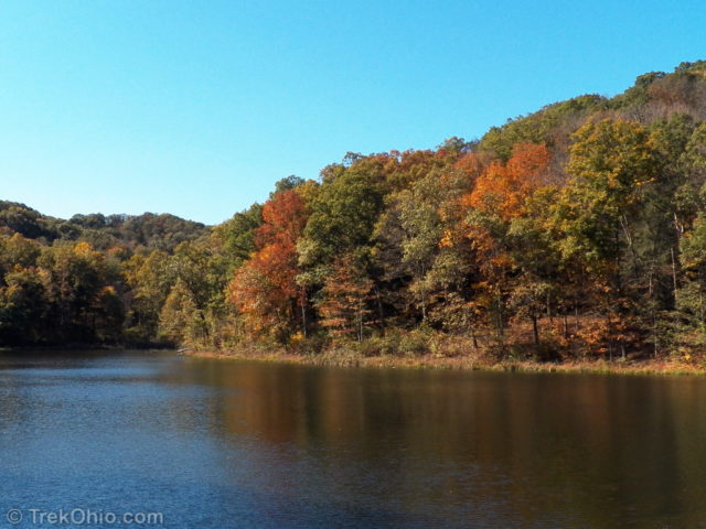
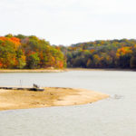
Below is a view of Caldwell Lake near the start of our hike.
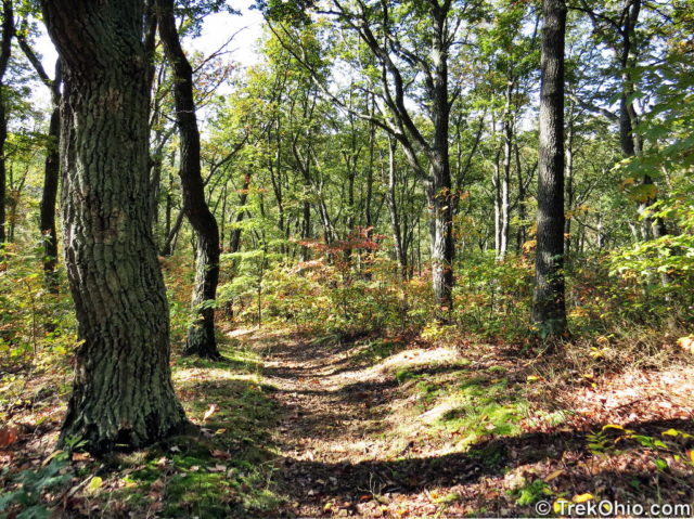
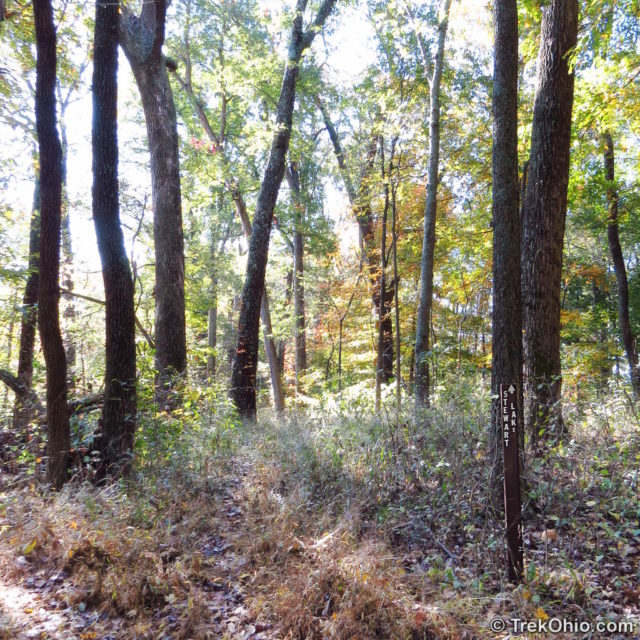
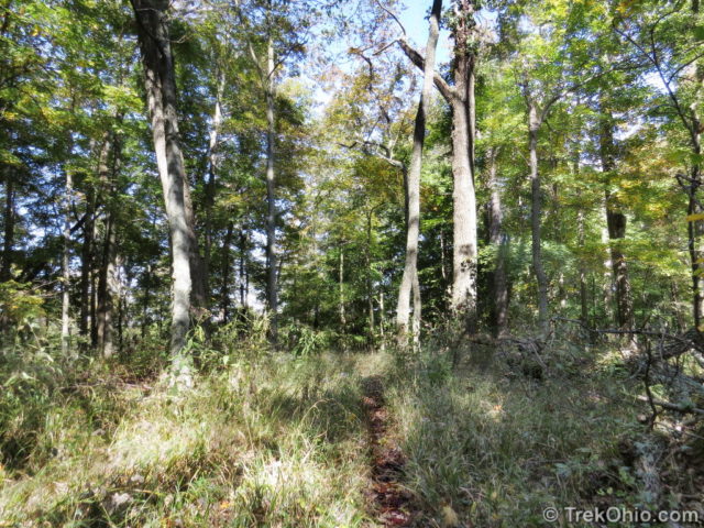
While on the ridgeline there is a point where the trail forks. To the right the trail goes on to the fire tower. To the left the trail leads to Stewart Lake. We wanted to go to Stewart Lake, but as you can see below the trail to Lake Stewart begins as a narrow, weedy path. Whenever grass or weeds are brushing up against your legs while hiking, you are at greater risk of having a tick latch onto you. So we both sprayed a liberal amount of DEET onto our legs, and we completed the hike without being bothered by them.
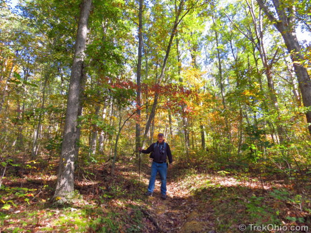
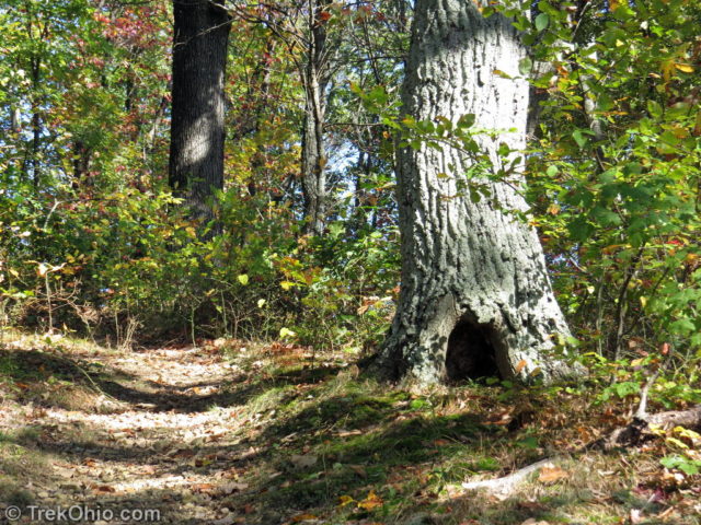
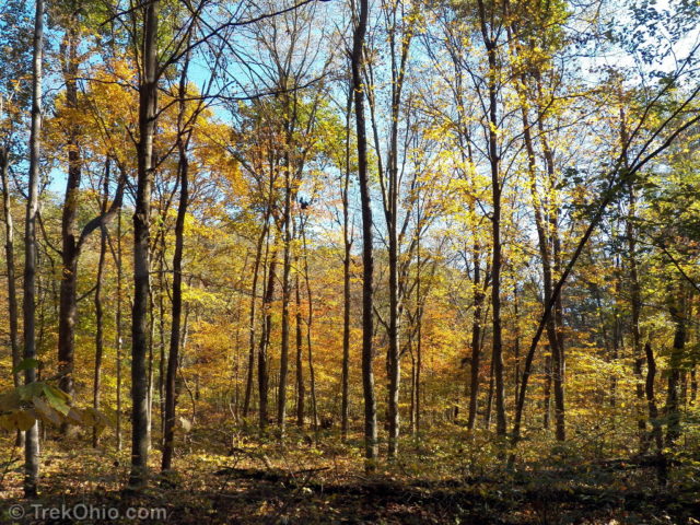
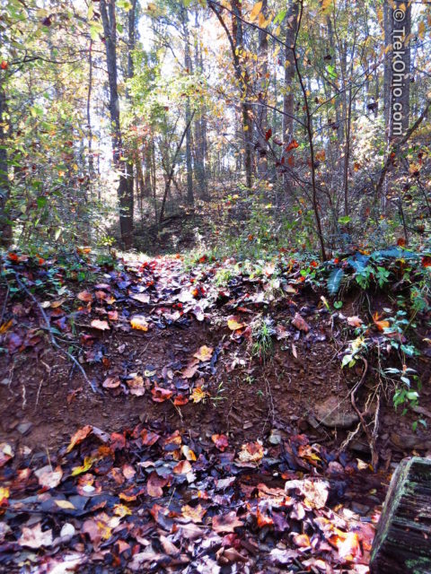
Near the end of the trail it crosses a small stream bed that was nearly dry while we were there. Unfortunately the bank on the opposite side was steep and muddy from the previous night’s rainfall. It was around three feet tall (a meter). It wasn’t too hard to get up on our way to Lake Stewart, but on the way back you would either have to jump or get very low (maybe even on your butt) and try to step down from there. I don’t like jumping while hiking because there’s always the chance that I’ll strain an ankle, so I lowered myself down.
Shortly afterwards the trail emerges into the primitive camping area near Lake Stewart. People who use this area have to park in a lot near the road and then carry their gear to the camp site of their choice.
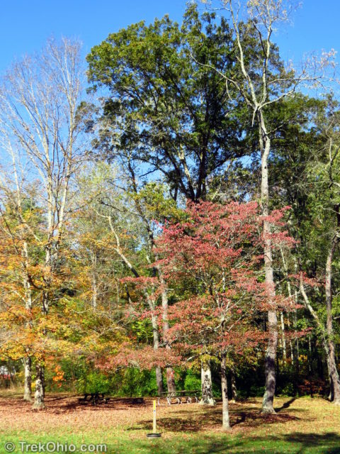
After lunch we walked out the camping area and crossed Stoney Creek Road on our way to Lake Stewart.
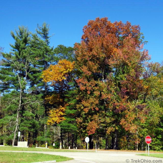
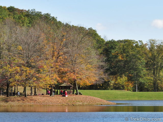
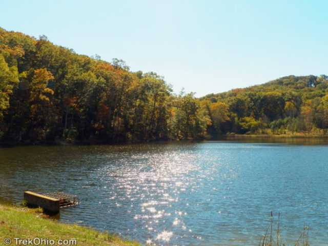
Stewart Lake was small, but pretty. I was surprised that no one was fishing there.
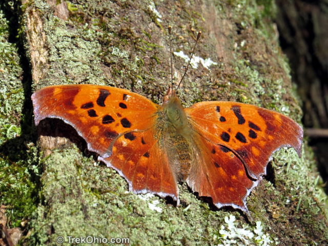
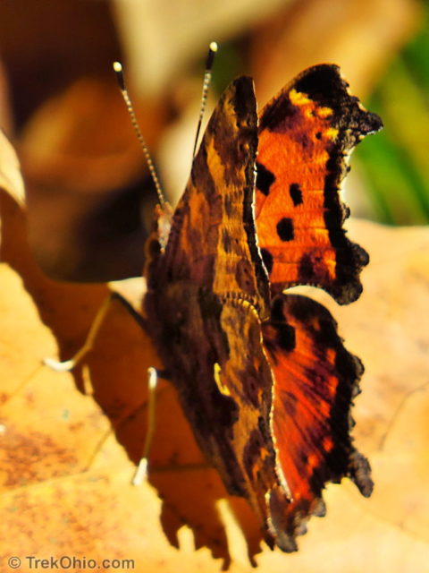
We saw several species of butterfly during our hike. Two woodland butterflies were the Eastern comma and the Question mark. They are very similar looking, but earlier I wrote a post describing how to tell them apart: Butterflies that Punctuate: The Eastern Comma and the Question Mark.
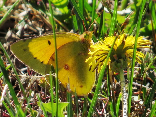
In the lawn around Stewart Lake we saw a butterfly nectaring on a dandelion.
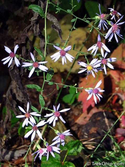
Wildflowers are about done for the year, but I am still seeing a few Asters on my hike.
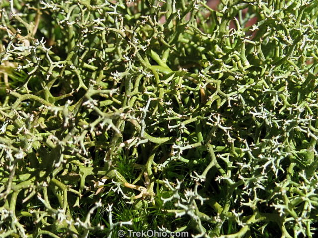
We also saw some Reindeer moss which is really a lichen. I did a previous post on that here.
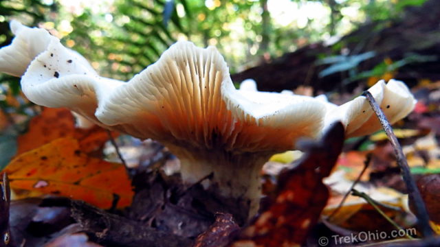
I’ve seen this pretty mushroom with scalloped edges at few different hiking destinations this October. I still haven’t identified it.
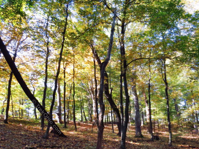
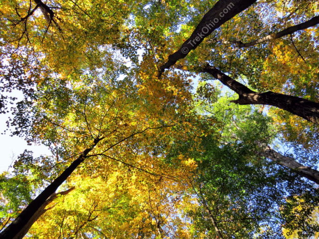
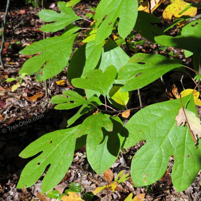
We are at that point in autumn where some trees have already dropped all their leaves while others haven’t even started to change colors yet. The sassafras and pawpaw trees were among those that still had green foliage.
Although fall marches on, I think that the trees at Scioto Trail State Park will still be looking colorful this coming weekend if you are interested. We had a nice talk with the staff member at the camp store. The store will remain open for the last weekend of October and then close for the season; although people can continue camping in the park after October.
Additional information
- Scioto Trail State Park – This described our initial visit to Scioto Trail State Park.
- TrekOhio: Ross County Parks & Nature Preserves – This is the county where Scioto Trail State Park is located. Check out this page for official links for the park, plus information on nearby parks.
More on Fall Color
very nice photos, love the fall season don’t you? tho I dread the winter part but then winter leads to spring, yaaaaaaah.! part of ohio is part of the appalacians foothills,then as you go west flattens out like a pancake, lol.