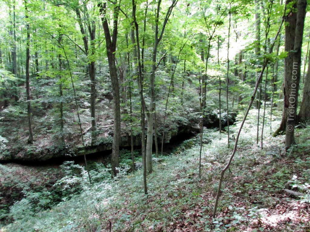
We spent the Fourth of July weekend at Burr Oak State Park Lodge. While there we hiked what I’m calling the “upper loop.” It is a 4.2 mile hike that begins at the parking lot where Mountville Road terminates at Burr Oak Lake. The terrain for this hike is hilly with a total elevation gain of 1,315.5 ft. During a portion of the hike there were glimpses of the lake through the trees.

Getting oriented
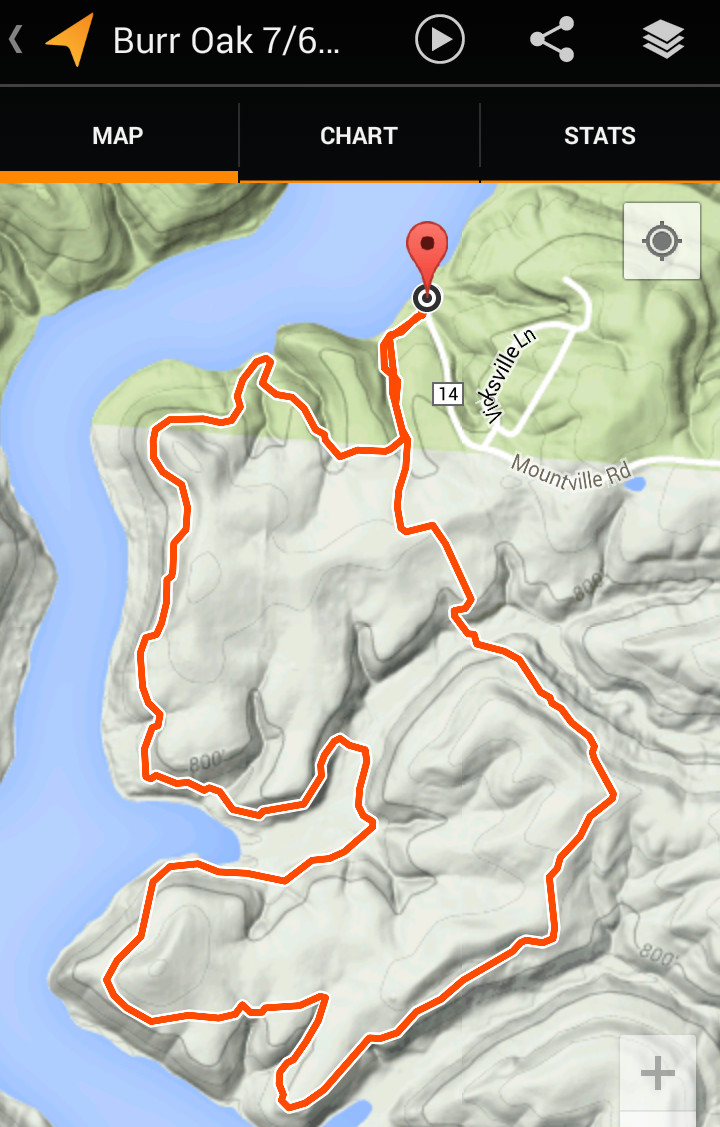
We traced our hike using the My Tracks Android app. Below is a map showing our route.
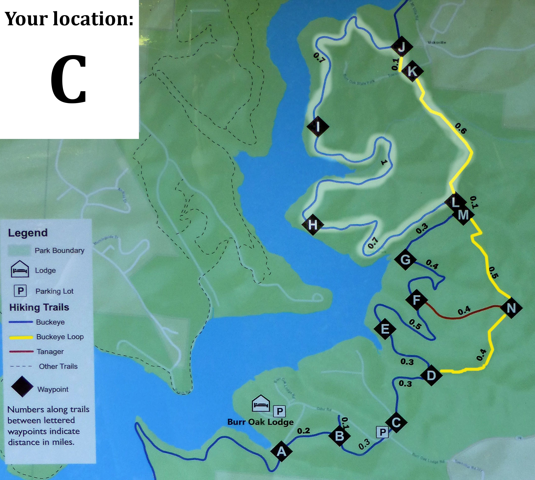
And here is a photo showing a more comprehensive view of the park’s hiking trails. Our hike is highlighted in white. In an earlier post we describe hiking the southern portion of these trails, as well as the park’s lodge and how to get to the park.
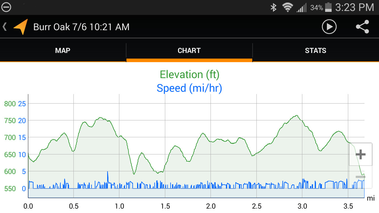
Below is a screenshot of the elevation chart for this hike as recorded by the My Tracks app.
Outbound Hike
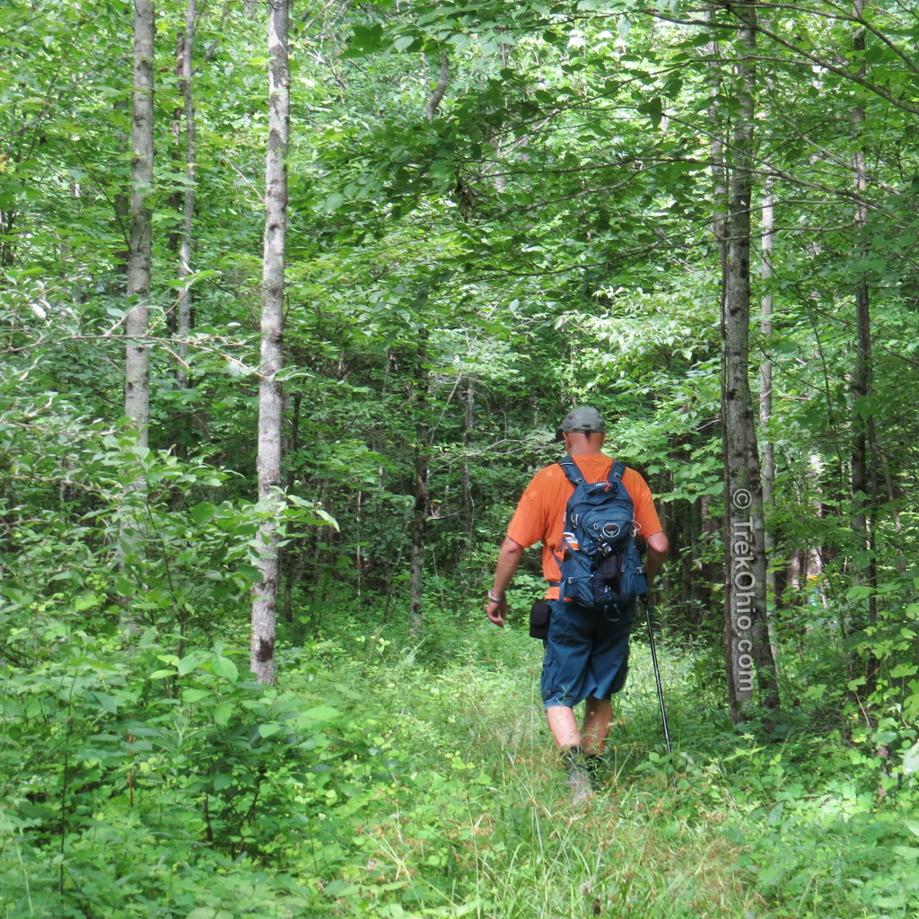
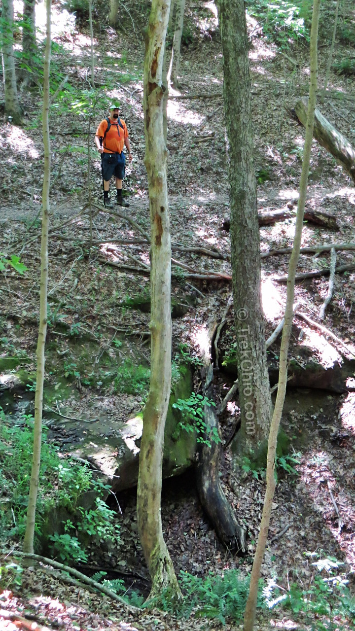
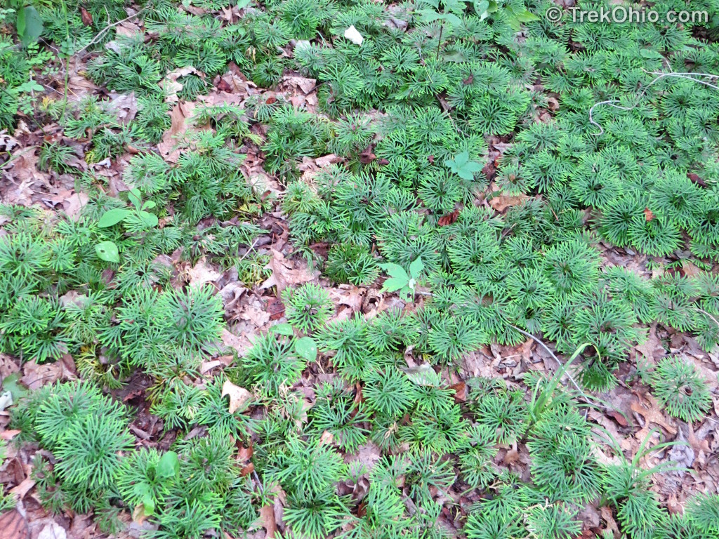
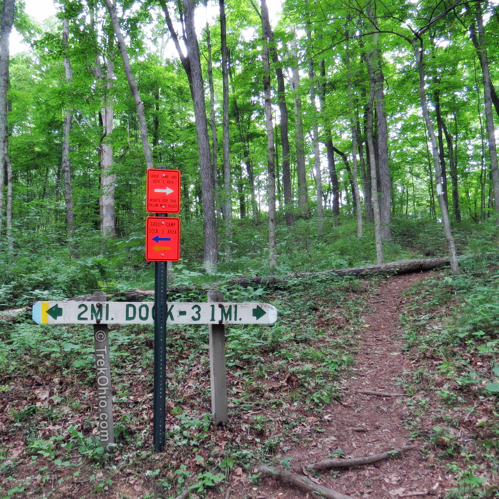
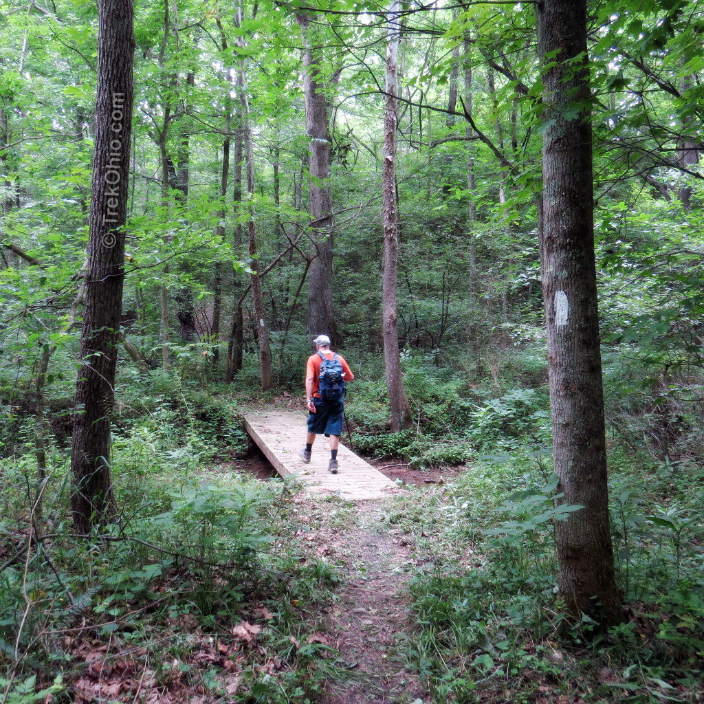
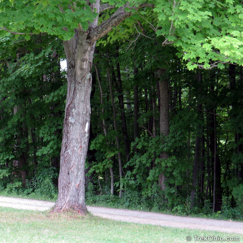
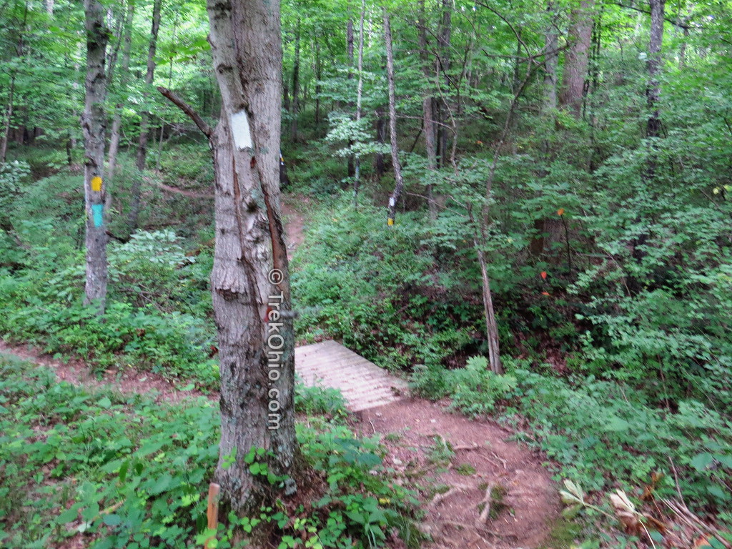
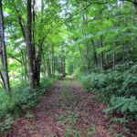
The trail head for the hike is at Dock #3 on Burr Oak Lake. A blue and white blazed connector trail took us south from the trailhead to the start of the loop. Our hike followed a section of the Buckeye Trail that followed the shore of the lake. Athens and Morgan counties are in the foothills on the Appalachians, so the trail consisted of a series of hill climbs and descents into stream filled ravines. The area is heavily forested, so we spent most of the hike under the forest canopy. For the most part the trail was quite clear and in a couple places someone had recently cut down the weeds.

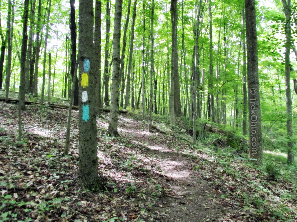

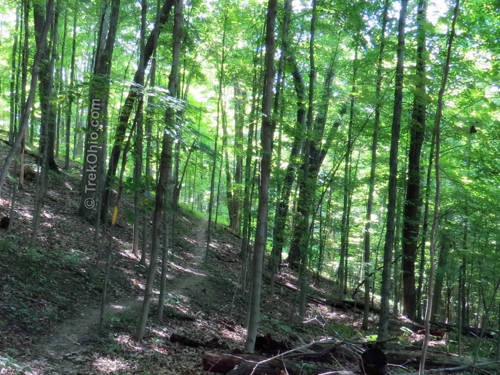
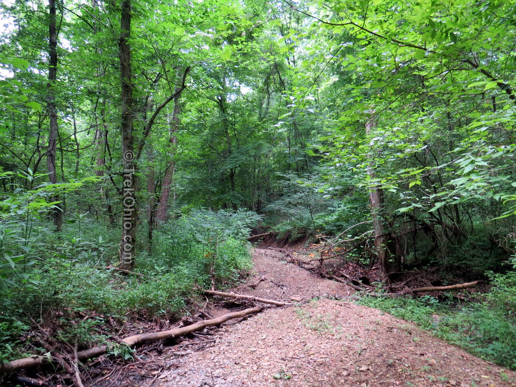

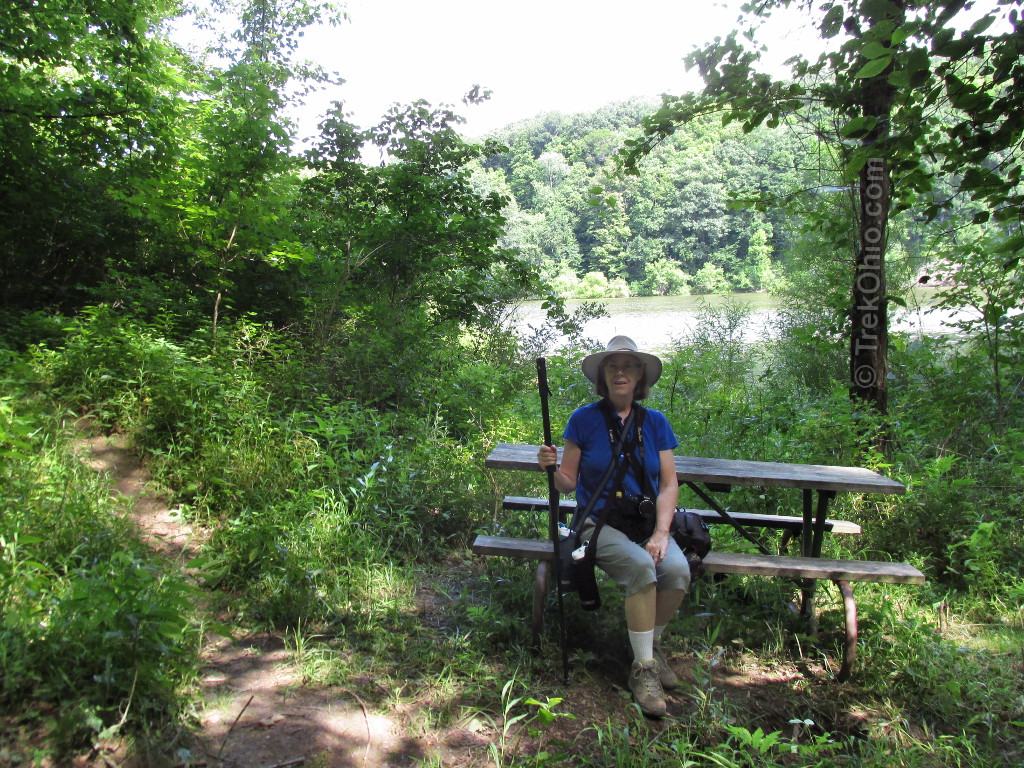
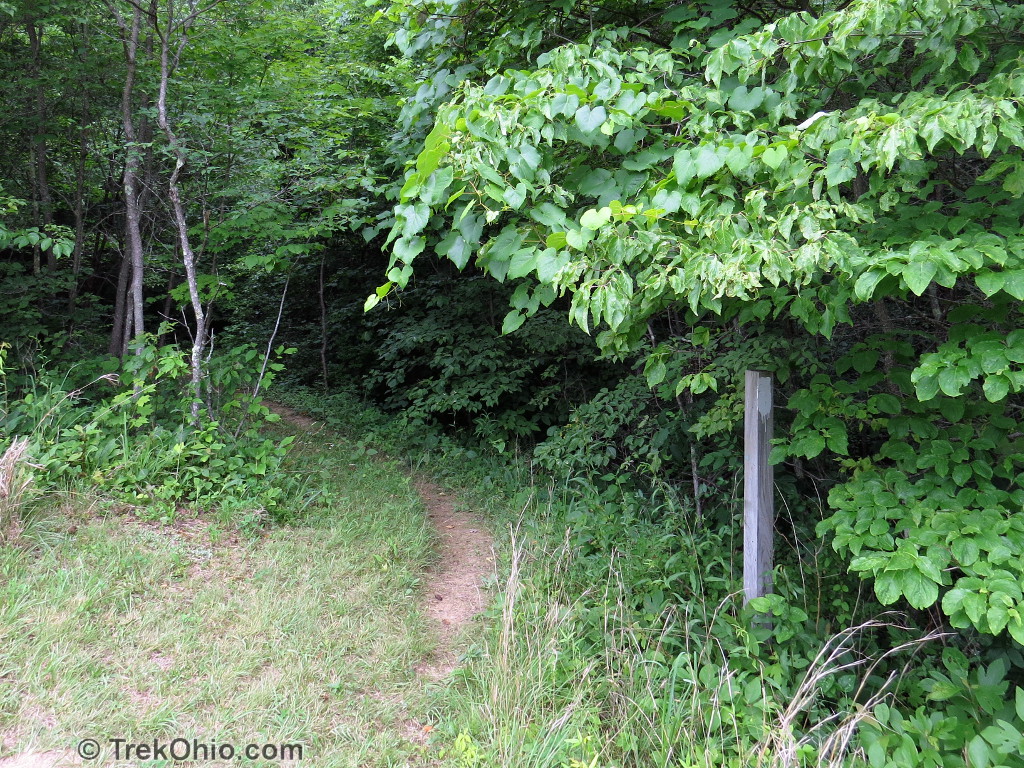
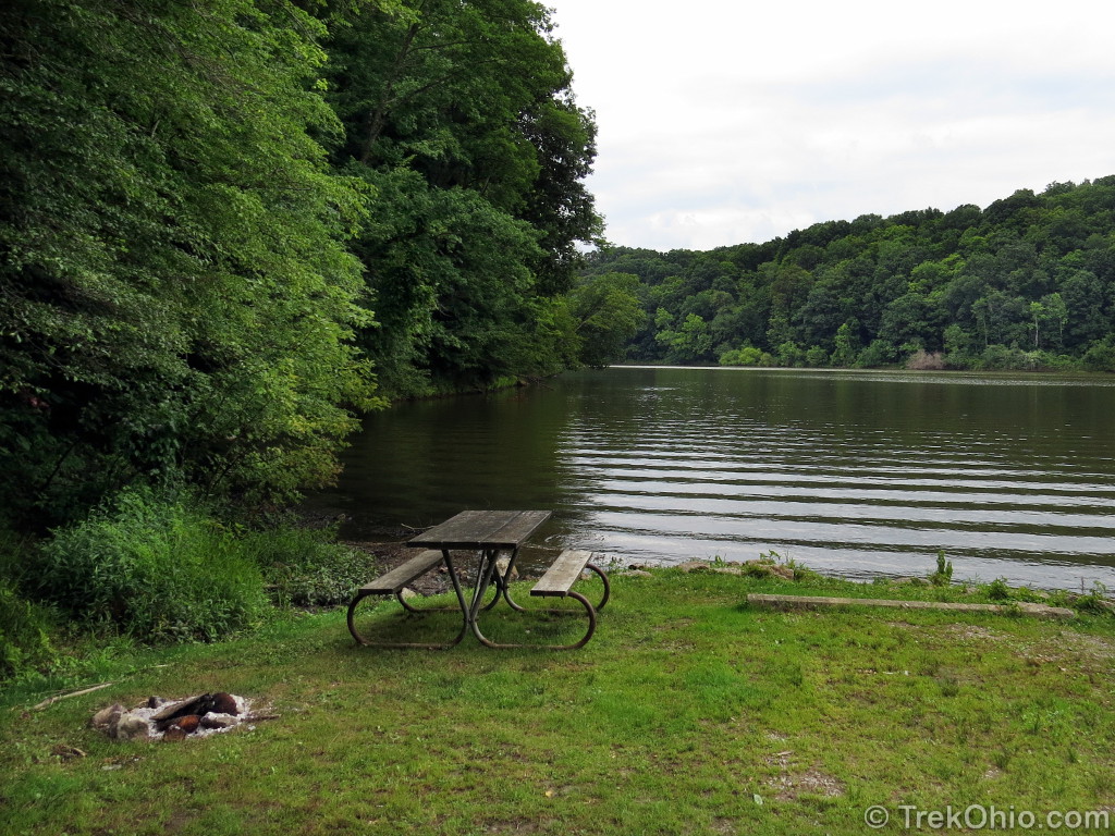
The trail was well marked with the usual Buckeye Trail blue blazes and featured wooden bridges over stream crossings. At one point there was even a picnic table with a view of the lake. The return trail of the loop was the white blazed Buckeye Loop trail. I had been worried about missing the intersection or going the wrong way – which would have resulted in a very long hike indeed. No worries, the intersection was very well labeled with signs pointing the correct way.


Inbound Hike
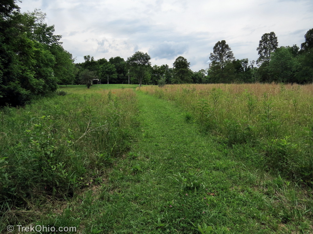
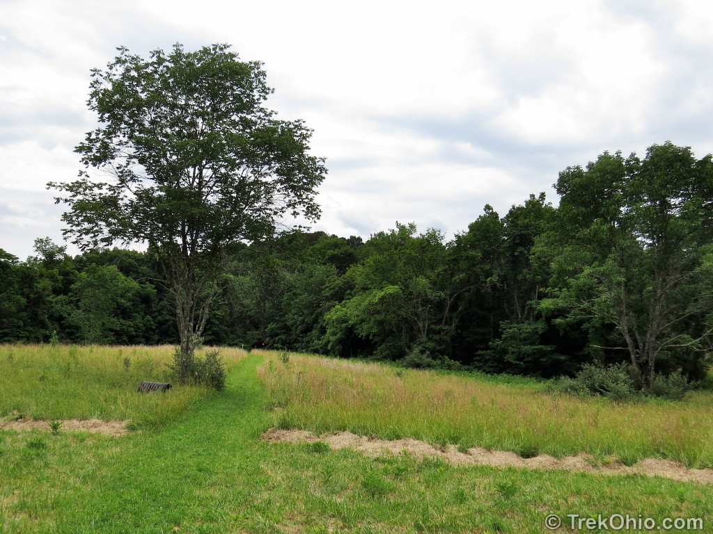
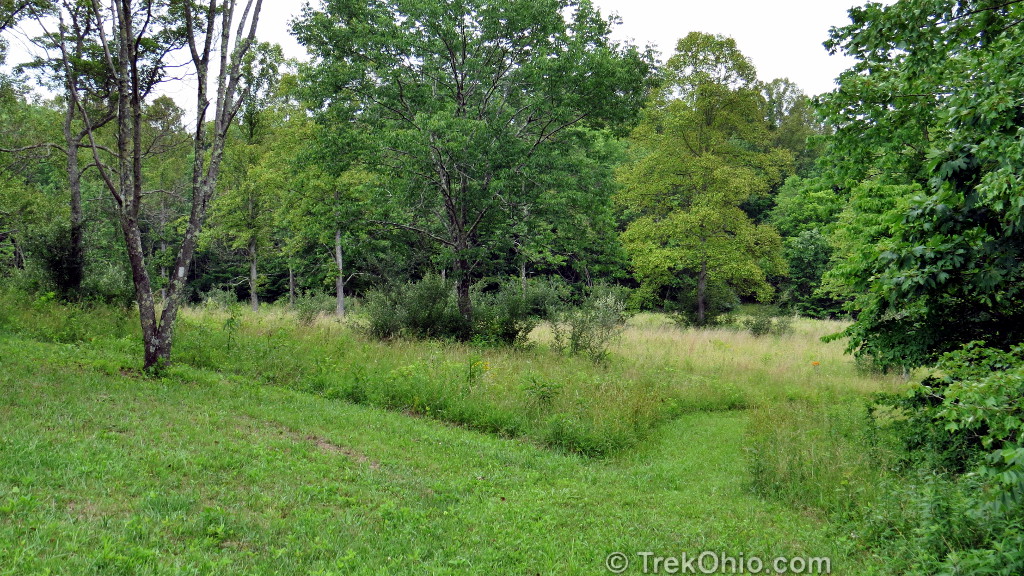
The return trail is somewhat less hilly and eventually leads out of the forest to a large open area. This is the Burr Oak group camp. It was empty the the day of our hike. It featured picnic tables, a shelter and out houses. Past the shelter is a dirt access road for the group camp. We followed the road to the left about 30 feet to another an open field and our trail continued through the field and then back into the woods. We soon found ourselves back at the blue / white connector trail and made our way back to the parking area.
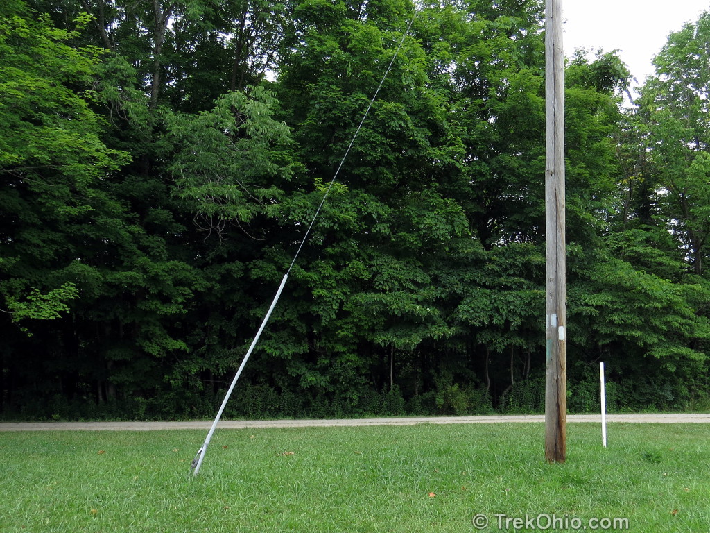
The connector trail empties out near this lakeside campsite. The parking lot is nearby.
Additional Information
- ODNR: Park map showing Dock #3 and trail
- TrekOhio: Burr Oak State Park – our prior write-up about the park, lodge and trails.
- Burr Oak State Park is primarily in Morgan County, but also extends into Athens County. For official links to the park and to nearby parks and preserves, checkout our pages on both counties below:
- TrekOhio: Athens County Parks & Preserves
- TrekOhio: Morgan County Parks & Preserves
- Burr Oak Lodge — This is where we stayed this trip; in our prior post on Burr Oak State Park, we include photos of the lodge.
Location
Directions to trail head: From the lodge, follow the park road to the park entrance. Turn left on SR 78. Take SR 78 to the intersection with CR 14 and turn left onto CR 14. Follow CR 14 all the way to the dock and park in the parking lot by the dock. You will drive past a small church and the entrance to the group camp on the way. From the parking lot, you’ll see the docks, a latrine building, and just beyond a small camping area on the lake. Walk towards the camping area. At the end of the camping area, you’ll see a sign for the trail head on the left and a path leading up hill. This is the start of the trail. My GPS showed a total distance of 4.2 miles.
More on Athens County
 Gifford State Forest
 A Visit to the Ohio Pawpaw Festival
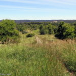 The Ridges Trail in Athens, Ohio
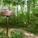 Wayne National Forest (Athens Unit): Wildcat Hollow