The Richard and Lucile Durrell Edge of Appalachia Preserve is situated 75 miles south of Cincinnati. The preserve system is managed jointly by the Museum of Cincinnati and the Nature Conservancy. Together its eleven different properties preserve some 16,000 acres of the western edge of the Appalachian Escarpment. Currently four of these properties feature hiking trails. We previously described the Joan Jones Portman Trail. Today we’ll describe a hike we took mid-July on the Lynx Prairie Trail.
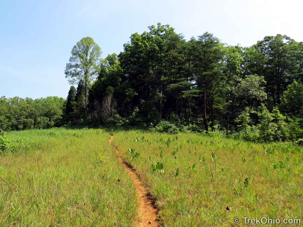
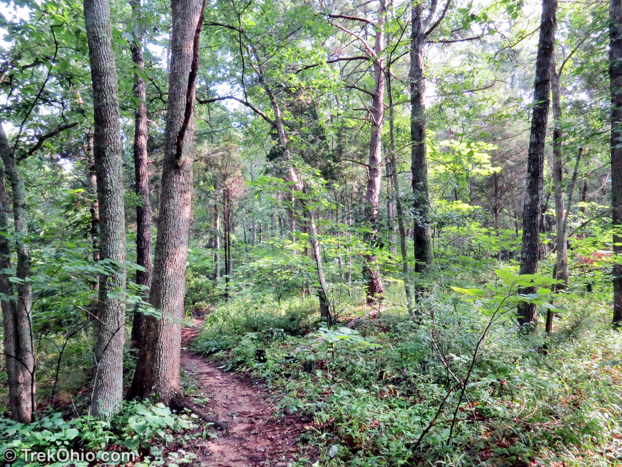
There is a large trail map posted near the trailhead that includes additional information about the preserve. You can also obtain an online trail map at the preserve’s official website (for links, see our entry for Edge of Appalachia in our Adams County Guide). The trails are a bit narrow, but include footbridges to help your cross a couple low areas. Although at the very start of the trail, there is a bed of crushed stone, this soon gives way to a dirt path. It had rained heavily the night before, so the dirt path was muddy. The trail is subdivied into three-mini trails that are color coded. As you can see on the map below there are a couple loops in the trail. Whenever we came to a trail junction where there was a choice of directions, there was always a sign post that pointed the direction to the exit, plus colored arrows that let you know which part of the color-coded trail you were on.

We also made a GPS trace of our hike. If you like, you can explore it on Google Maps. The yellow lines signify our hike. I also drew a lavender line to show one segment of the trail that we skipped.

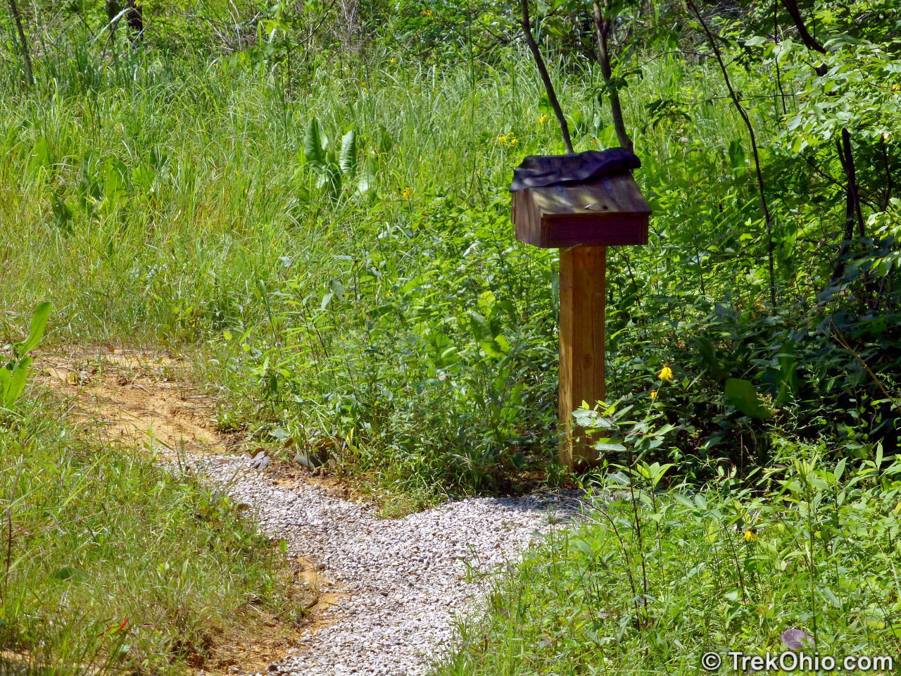
Shortly after starting out on the trail, there is a box where you can sign in. Just lift the lid and a pen or pencil is provided.
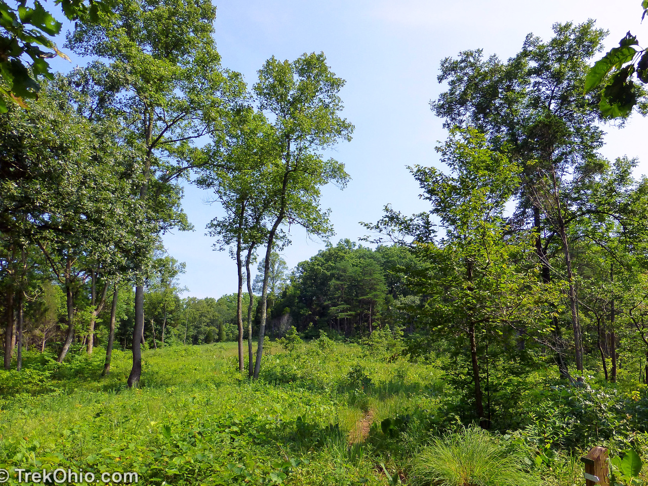
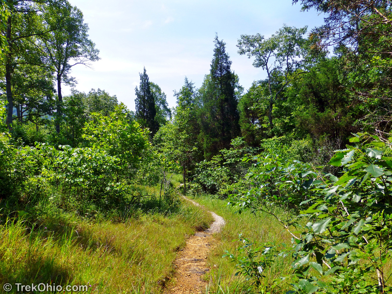
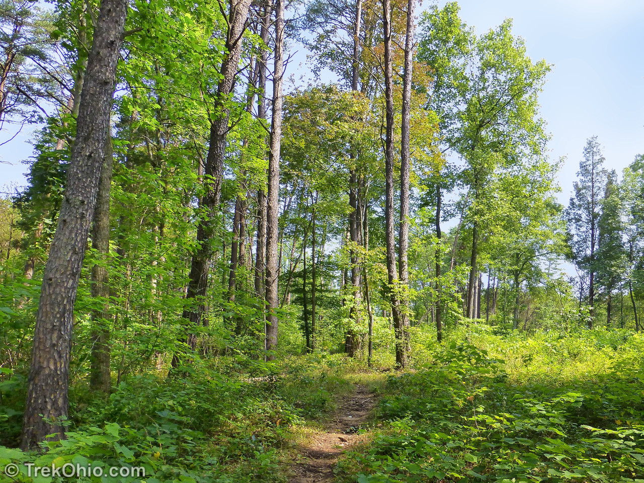
Below I’m just going to show a few photos as the trail passes through forest and prairie openings just to give you a feel for what it is like.

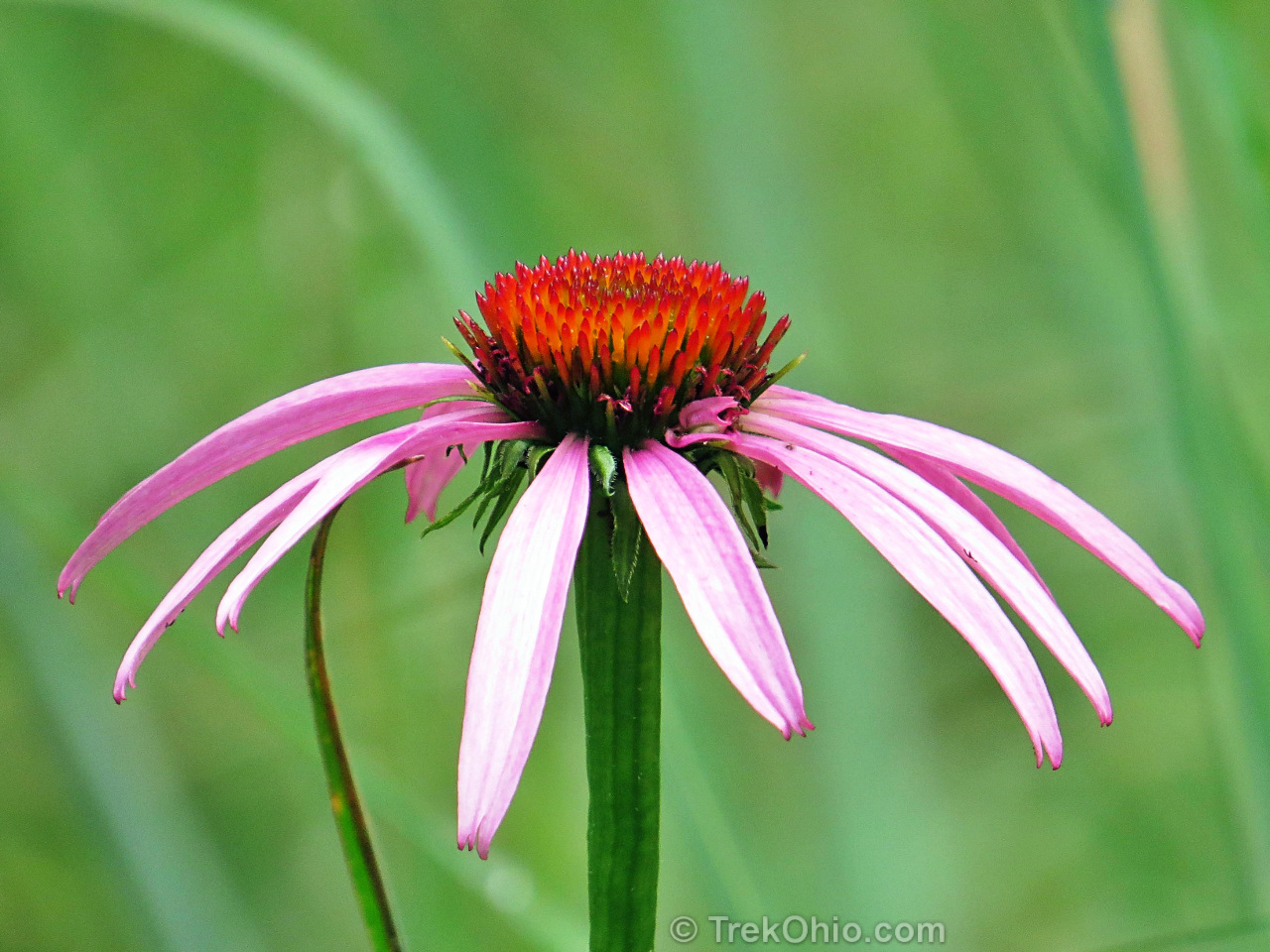
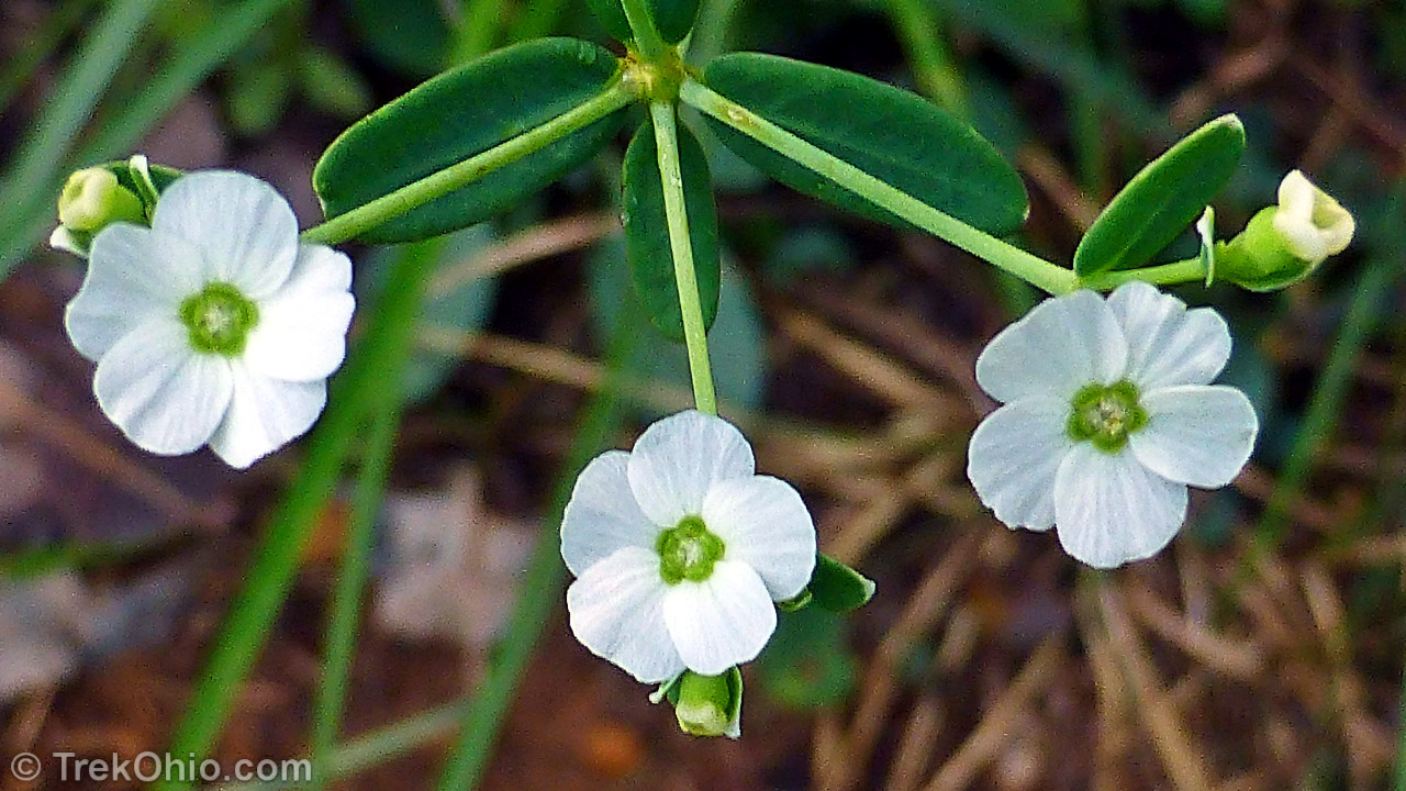
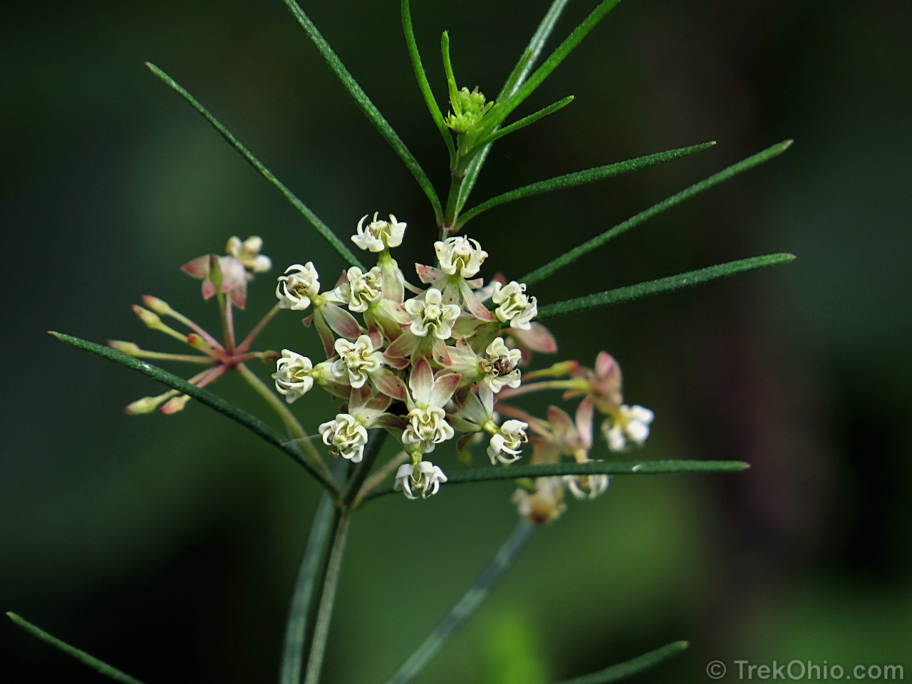
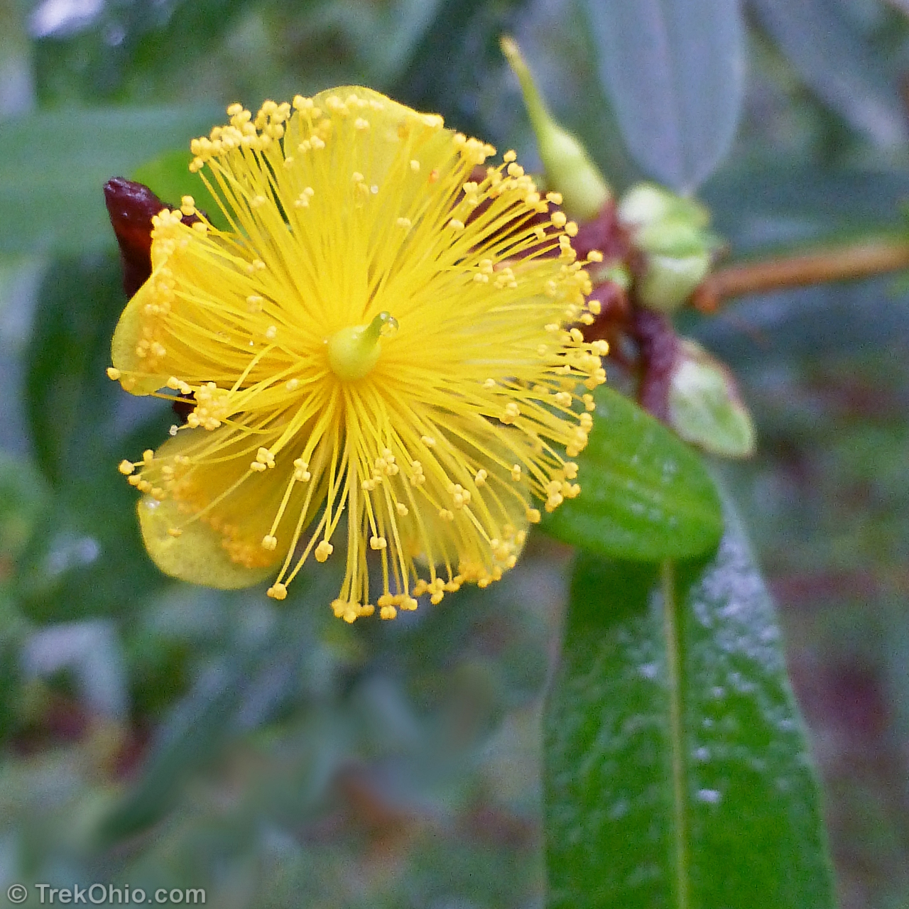
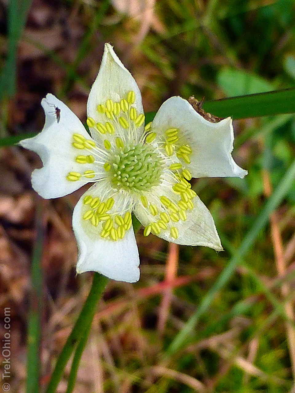
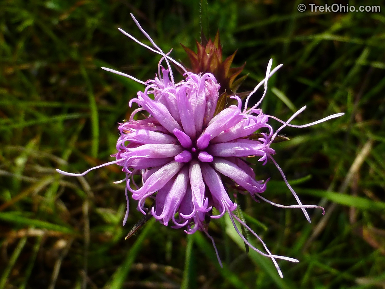
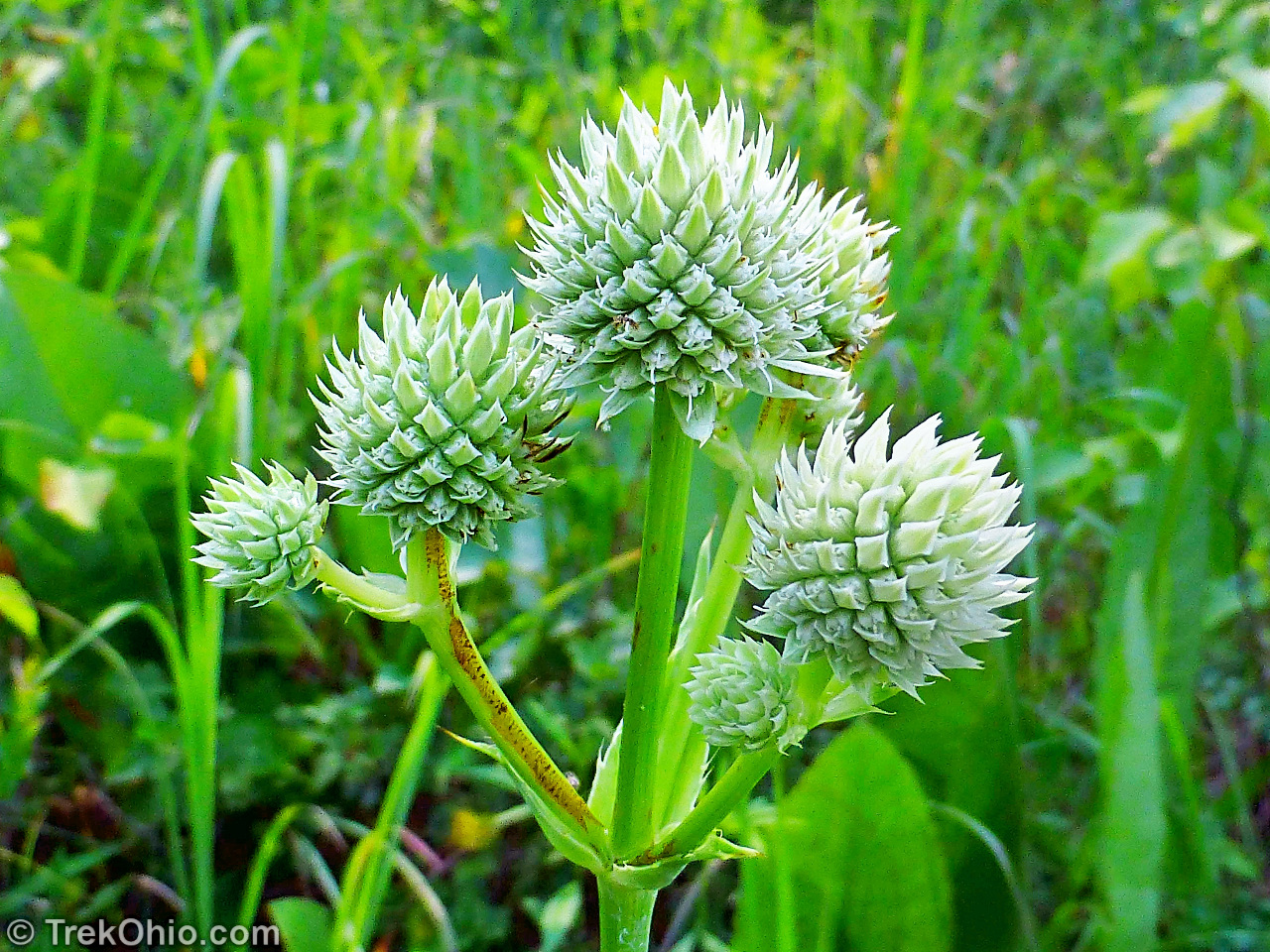
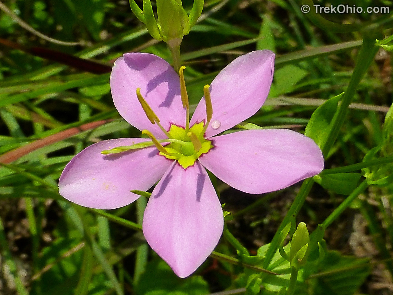
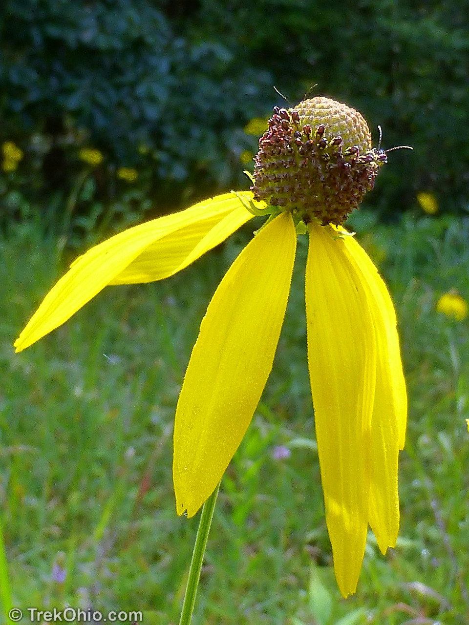
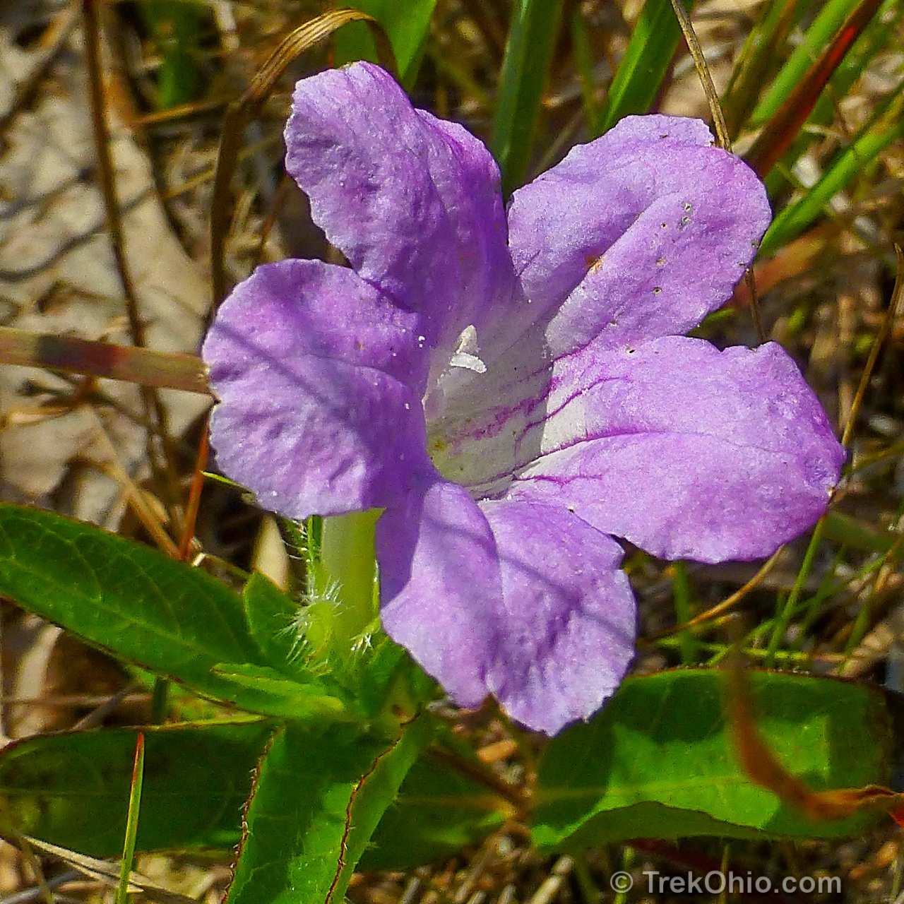
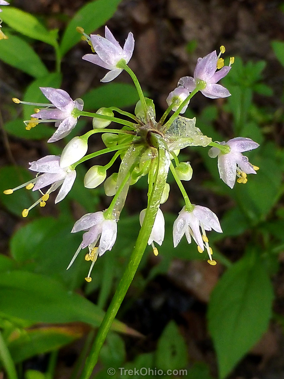
Flowers
There were many summer wildflowers in bloom while we were visiting mid-July. Below is a sample.


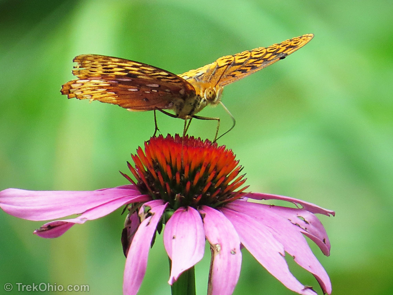
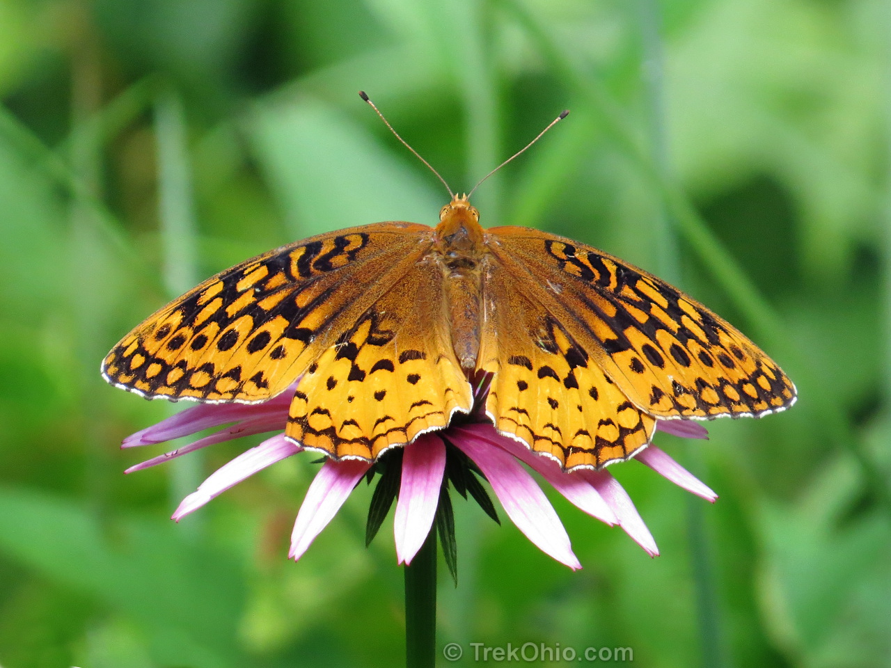
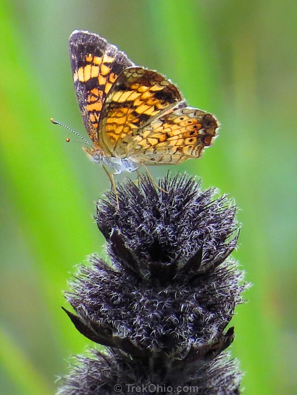
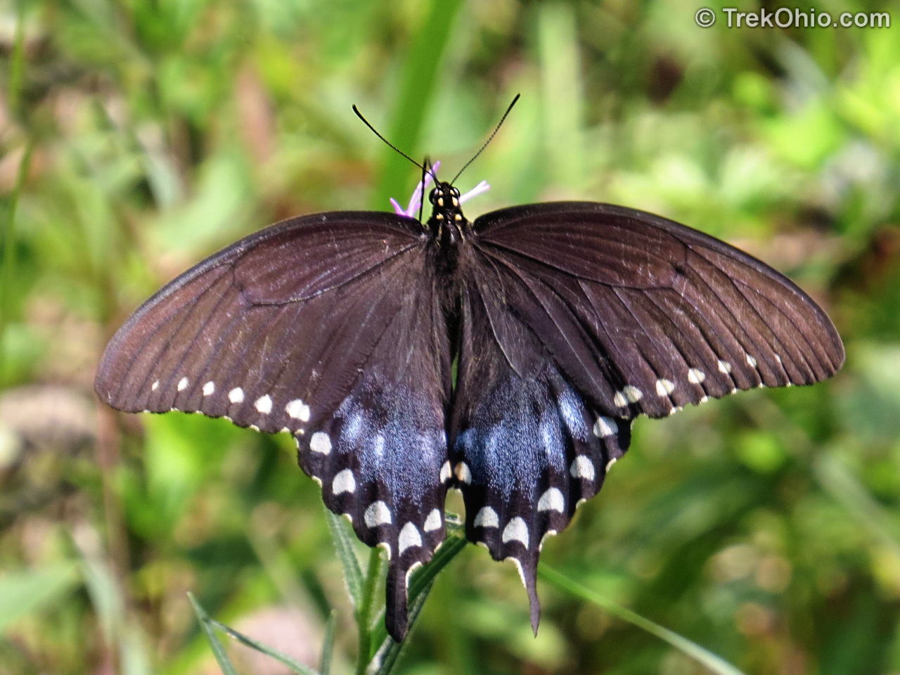
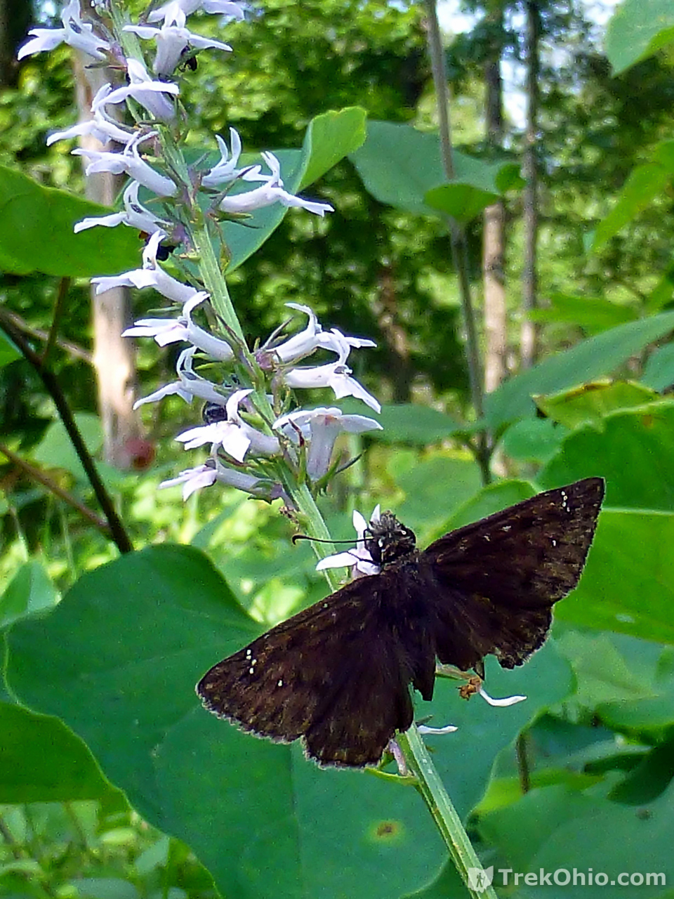
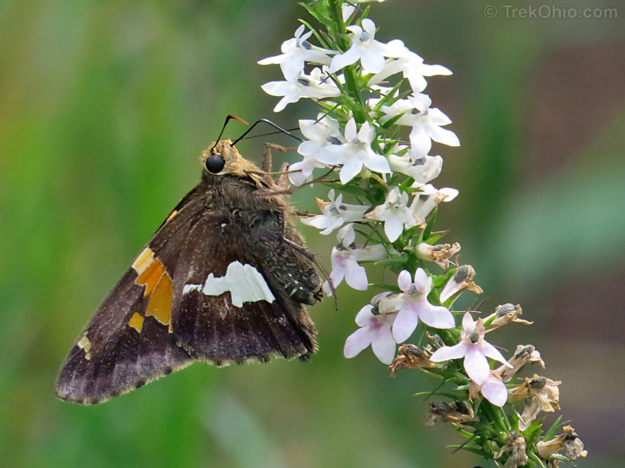
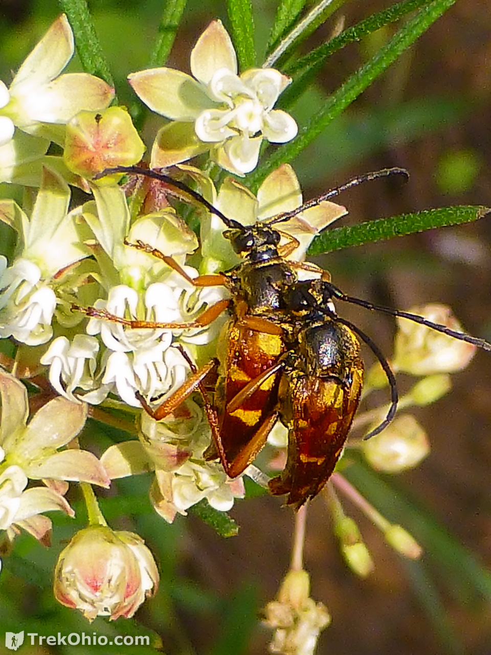
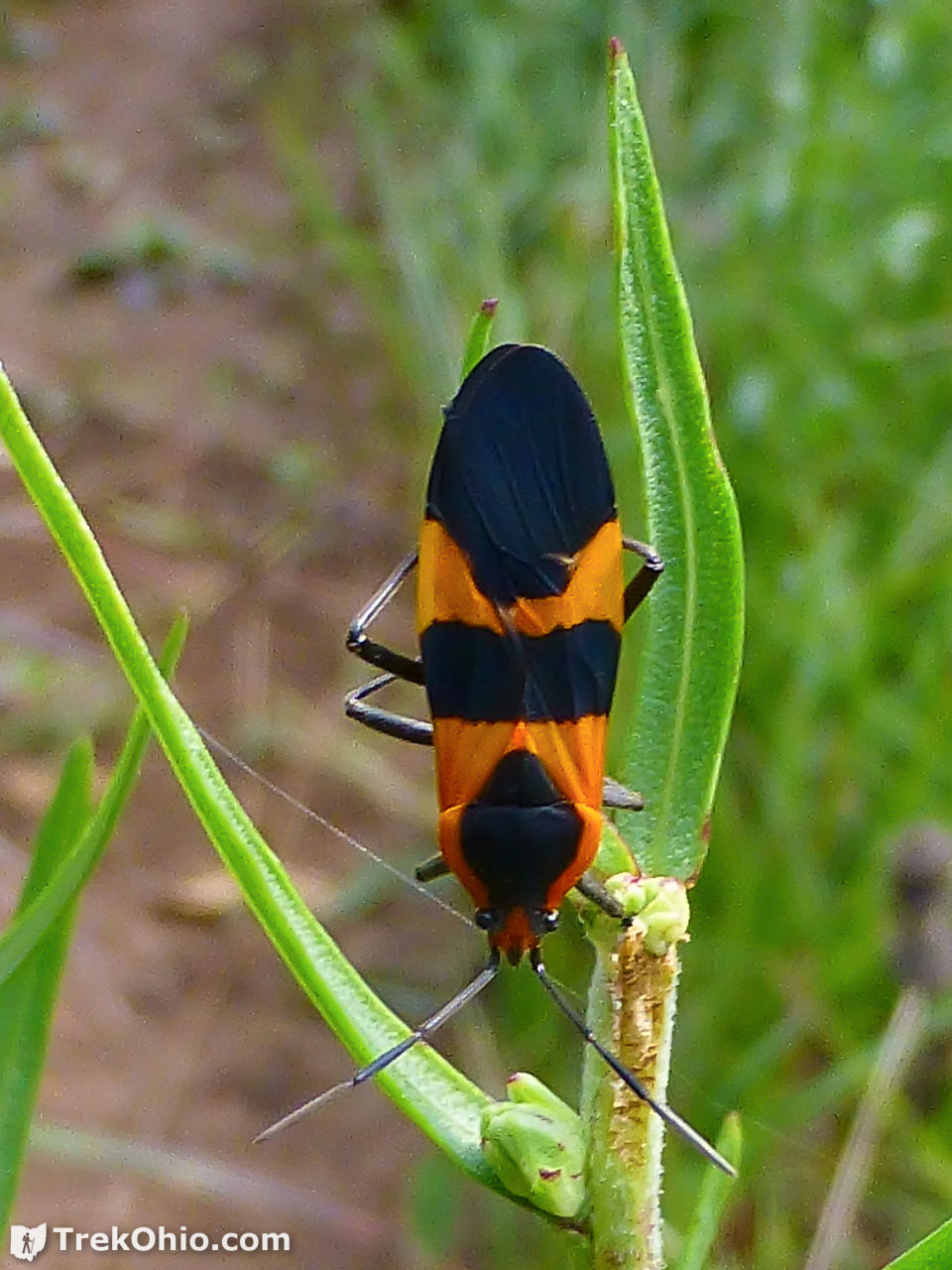
Butterflies and Insects
With so many flowers was a multitude of nectar-loving insects.


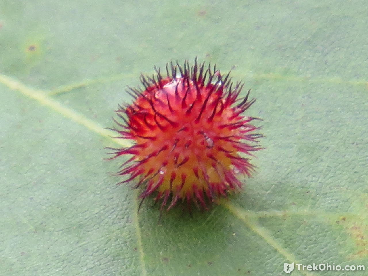
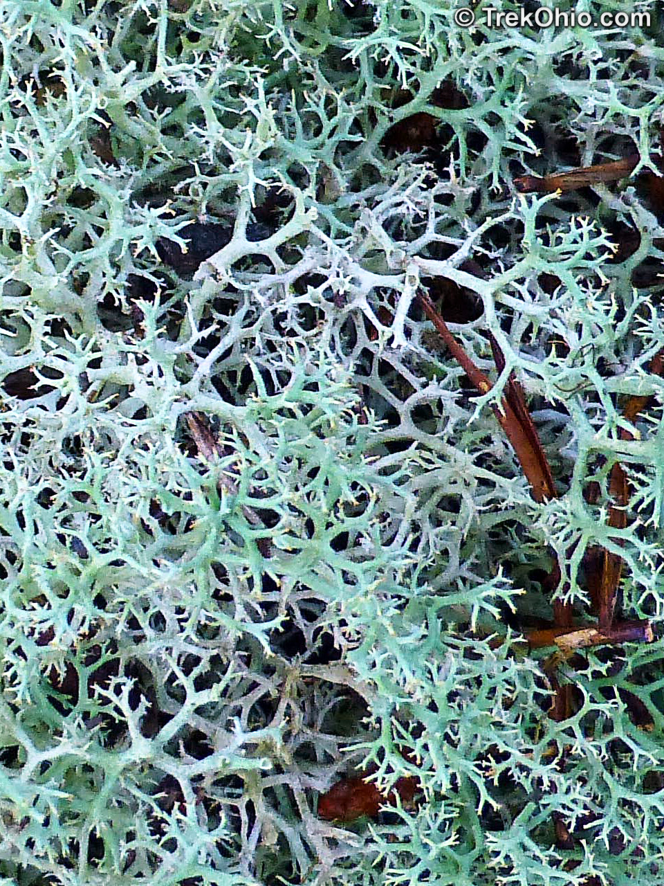
Fungus and Lichen

Additional information
- TrekOhio: Adams County Parks & Nature Preserves — This is the county that where Lynx Prairie is located. Check out the entry for “Edge of Appalachia” to view links to the official site and trail maps.
- TrekOhio: Edge of Appalachia: Joan Jones Portman Trail — There is information here to help orient new visitors, as well as a restroom.
- TrekOhio: Milford Center Prairie State Natural Area — In reviewing this prairie, I discuss Ohio’s unusual prairies at some length.
- TrekOhio: Eastern Tiger Swallowtail Butterflies and Black Butterflies of All Sorts — This is where I started to learn how to distinguish one black butterfly species from another.
Location
- Address (guesstimate by Google based on GPS coordinates): 2998 Township Hwy T-226, Lynx, Ohio 45650
- Directions: From Lynx, Ohio travel south on on Tulip Road (which is County Road 9), turn east on Cline Road (also known as Township Hwy 226). Cline Road dead ends at the entrance to Lynx Prairie Preserve.
- GPS Coordinates: 38.759275, -83.407109
- Google Maps: View on map or get directions
More on the Edge of Appalachia
 Edge of Appalachia: Buzzardroost Rock Trail
 Ohio Lodges Reopen – Trip to Shawnee Lodge
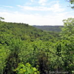 Edge of Appalachia: Joan Jones Portman Trail
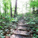 Edge of Appalachia: Charles A. Eulett Wilderness Preserve Trail
Is there quite a few spring wildflowers here?
Brett, I’m afraid that I only hiked the Lynx Prairie Trail in July, so I can’t speak from experience. However, as a general rule of thumb, I think that spring flowers are typically best viewed in deciduous woodland. They bloom early in spring before the trees get leaves to enjoy maximum sunlight. However prairies seem to reach their peak time for wildflowers in July. Since there isn’t a canopy of trees overhead, this is when they get the most sun.
In Adams County I was at the Chalet Nevale Preserve at the end of May last year, and there were quite a few spring wildflowers there. I should be publishing an article about that preserve soon.
An interesting note about Lynx Prairie is that it contains a Native American Signal tree. Here is a link to read more about it: http://www.oldeforester.com/Sigtree.html
Thank you and great web-site.
Doug
Thank you for sharing the information about the signal tree. I wish that we would have seen it while we were there, but perhaps it is off trail.
Thanks for another interesting and informative post. Your flower, insect, butterfly, and fungi photographs are SUPERB!!
Ron, your welcome! It’s always great hearing from you. And thank you for your kind words about our photos. 🙂