The Shawnee Day Hike Trail has changed since our 7.2 mile hike a year and a half ago. The suggested blue-blazed day hike trail is now a 4.2 mile hike. However by combining the white-blazed connector trail and a new segment of the blue-blazed day hike trail, we were able to do an 8.4 mile-loop hike. As an unexpected treat, the new segment of the blue-blazed day hike trail took us by a lovely overlook with a bench where we could take in what remained of fall color. Since we were hiking there this past Halloween, the colors were past peak.
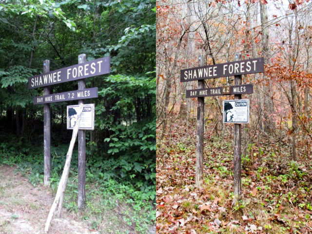
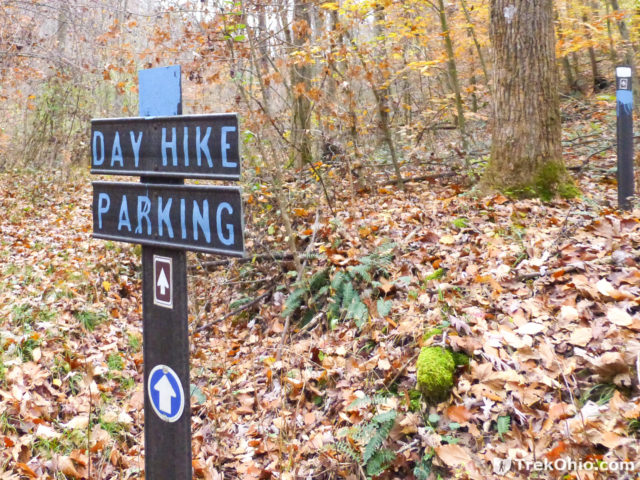
When we arrived at the trailhead, we had been planning on doing a repeat of our 7.2 mile hike. So we were very surprised when to see that the trailhead sign said, “DAY HIKE TRAIL 4.2 MILES”. We headed down the trail feeling somewhat disappointed.
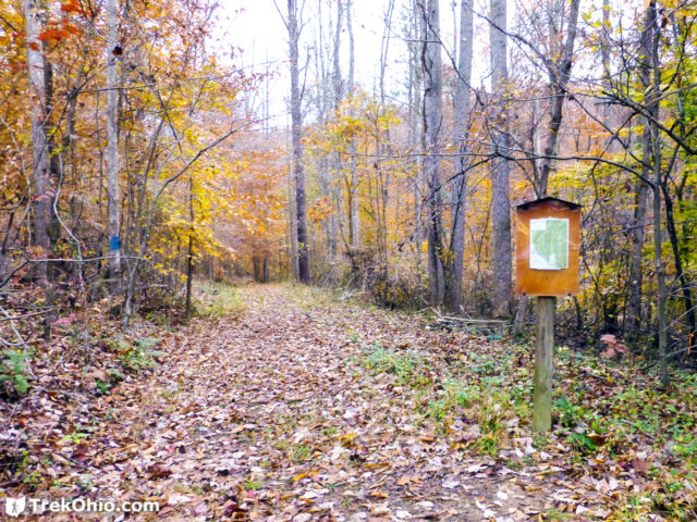
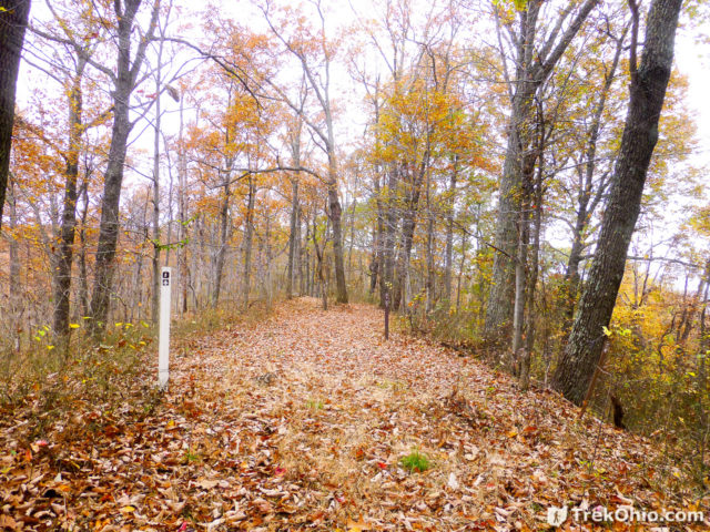
As we headed to the next sign on the trail, we passed a clearing to our left. Upon finishing our hike we discovered that this clearing is the return route for the hike. However since there was no signage to that effect, we had no idea it would be part of our hike.

A little farther and we came to a sign with a map. The map depicted a blue Shawnee day hike trail that was 4.2 miles long. I checked our prior GPS trace which I had on my phone. The map omitted a lengthy blue and white blazed trail segment to the east from our prior hike. We were puzzled as to why the hiking route was so different.
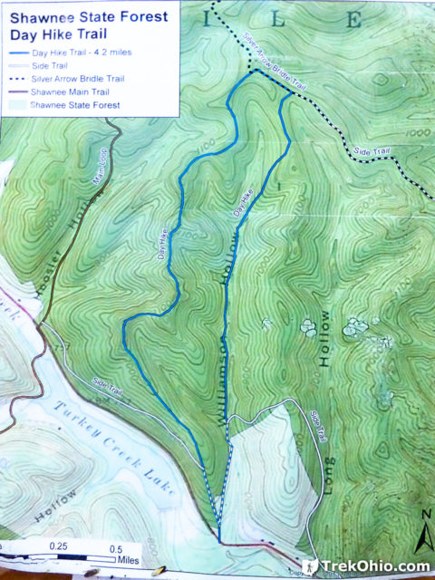
After a couple tenths of a mile we came to an intersection I’d remembered from the prior hike. Signs pointed back to where we had parked near the nature center. To do the 4.2-mile hike, presumably we were supposed to go straight ahead and follow the blue blazes for the Shawnee day hike trail. During our prior 7.2-mile hike we had started out by going that very direction and doing a clockwise loop. The trail to the right with the white blazes was the connector trail that we had returned on during our previous, clockwise loop. We decided to start by going right along the white connector trail because that way promised a longer hike (we hoped). We still were unsure why this trail was no longer a part of the Shawnee State Forest Day Hike Trail, and we half expected to come across a barrier of some sort that might prevent us from continuing this way.
Previously, the connector trail had been a white blazed segment followed by a blue blazed segment. The blazing had been changed and was now white for over 5 miles (though a few trees had both the new white and old blue blazes).
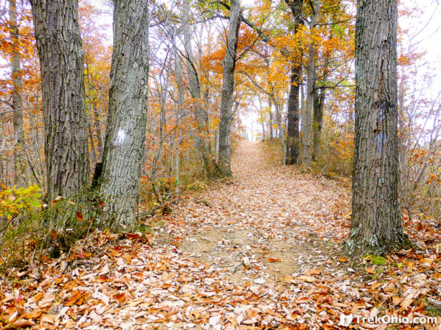
Once we had completed the trail we were able to check out the GPS trace and do a nice side-by-side comparison with previous maps for this hike. With ODNR’s trail changes, there are now options for a 4.2, 7.2, or 8.4-mile hike. Although we had feared that the old trail might be barricaded at some point, it is still there and in good condition.
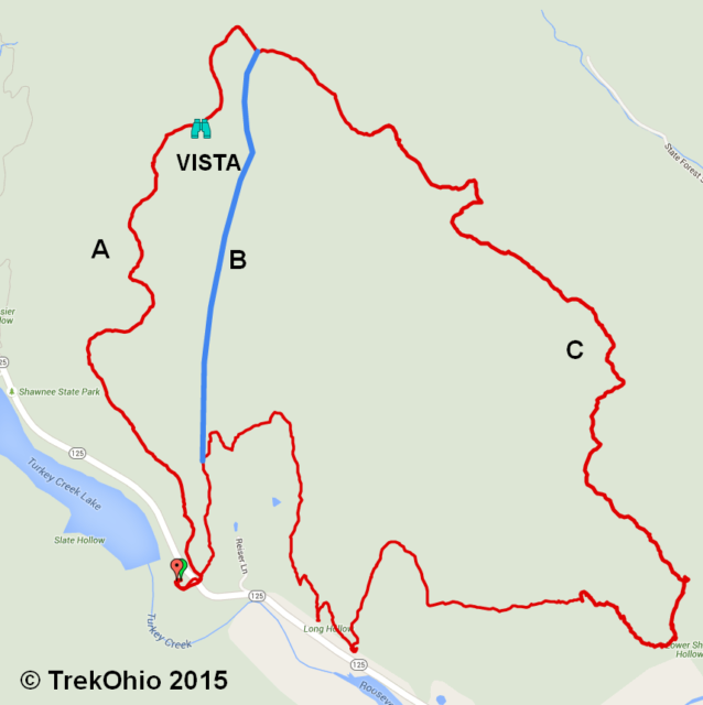
Clarifying the alternative hiking routes
- (Classic (now called East-Loop) – segments B+C) This was the 7.2-mile Shawnee Forest Day Hike Trail that we described previously. We recommend hiking this in the counter-clockwise direction which will allow you to tackle a couple of steep hill climbs at the beginning of your hike while you are still fresh. To do this counter-clockwise loop, at the first signed intersection, go right onto the white connector trail. After about 5.5 miles at the next signed intersection, take the blue trail on the left.
Update: A new sign at the trail-head labels this as the ‘East Loop’.
- (Segments A+C) This is the 8.4 mile day hike that we did on Halloween and that we are describing in this post. We also recommend that you do this loop in the counter clockwise direction, so you can tackle those first, steep hills while you are still fresh. At the first signed intersection, go right onto the white connector trail. After about 5.5 miles at the next signed intersection, take the blue trail straight ahead.
- (New (now called West-Loop) – segments A+B above) This is the 4.2-mile trail that has become the new, official Shawnee Forest Day Hike Trail. Stay on the blue-blazed trail all the way, avoiding the white-blazed connector trail.
Update: A new sign at the trail-head labels this as the ‘West Loop’.
Our 8.4-mile hike
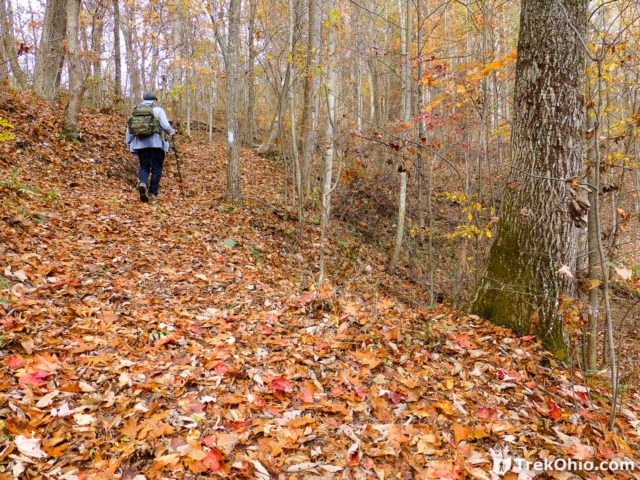
A few miles into the 5-mile connector trail, we came to the trail intersection below near a stream bed. To continue on the loop we had to go uphill to the left.
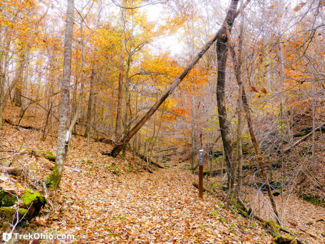
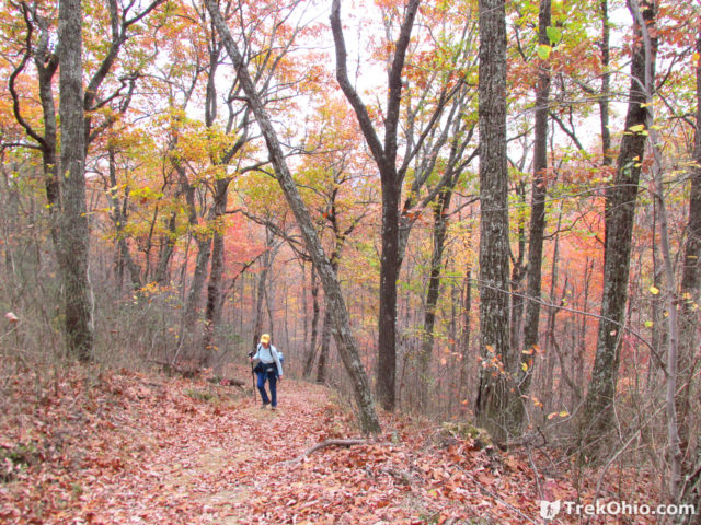
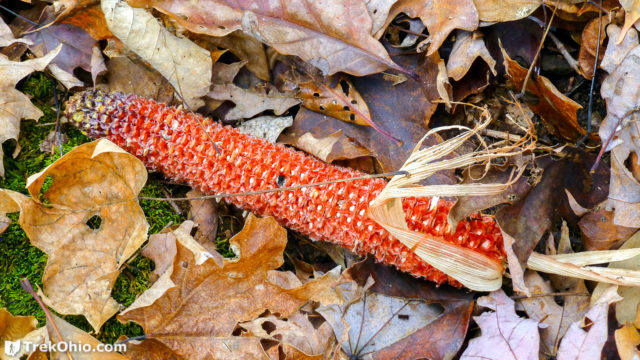
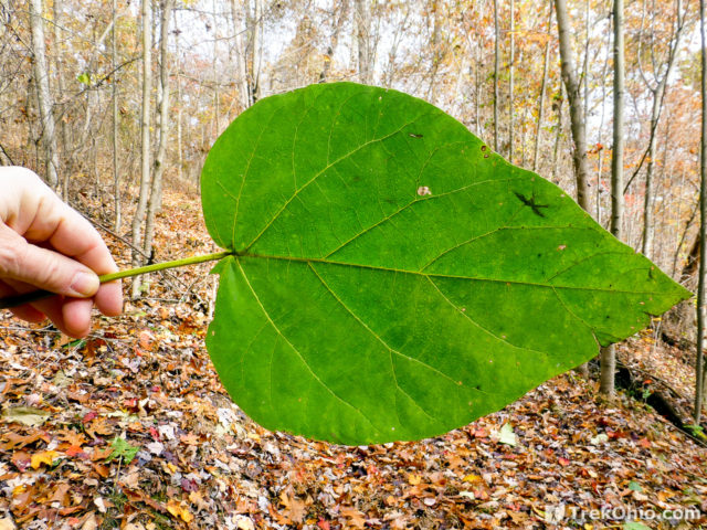
While hiking the 8.4 mile loop on Halloween, we climbed three hills and passed through hollows with stream beds. Overall there was an elevation gain of 1,847 feet. Near the hilltops, many of the trees were bare which exposed glimpses of valleys and other distant hills. In the hollows, fall color was still quite dramatic. We ate our lunch on the go and made pretty good time.
Our final hill climb on the white connector trail took us up to a ridge line and a trail intersection. We’d traveled about five and a half miles on the white connector trail. We stood on a ridge line with the white connector trail behind us. To the left was a blue trail. Straight ahead was another blue trail. We weren’t sure which trail to take, but knew both would return us to the trail-head and then the parking area.
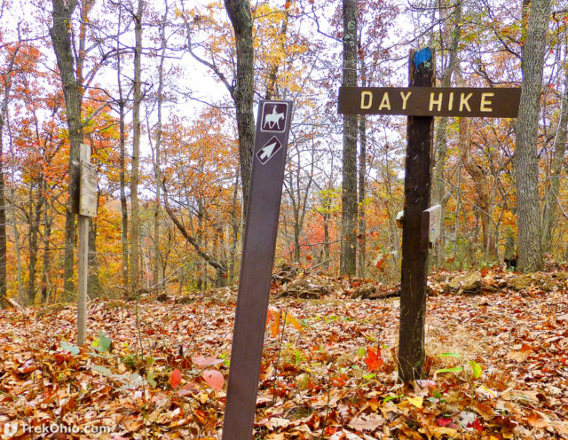
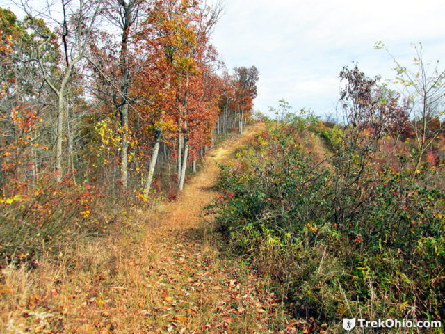
We choose the blue trail straight ahead. It followed along a ridge line, gradually ascending for some time. Eventually we came to an open area where earth-moving machines had been at work. There were a number of trail choices at this point, including a bridle trail that split off and went to the right.
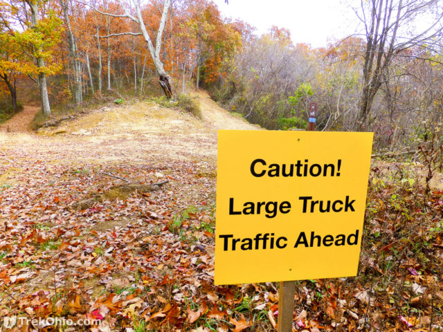
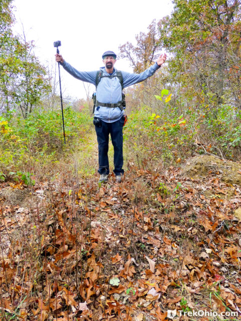
To continue on the blue-blazed day hike trail segment, we had to cross the mound of earth that had been pushed in front of the trail (Bob is pictured standing on it below). We were a little unsure if the mound was supposed to be a barrier, but soon we were reassured that the trail continued beyond it.
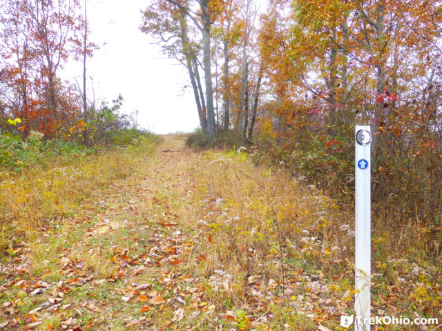
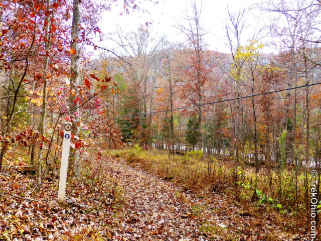
This was the only segment of the trail where we encountered mile markers, such as the one below.
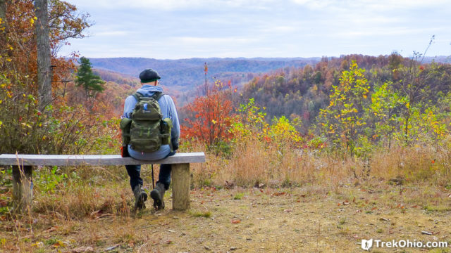
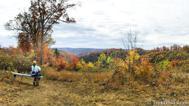
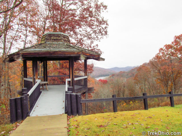
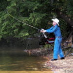
We continued straight on the blue blazed trail. After a while we came to a scenic vista. ODNR had strategically placed a bench from which to admire the vista. We sat for a while and enjoyed the view. I’m pictured at this vista in the top-most photo of this post, and below is a photo of Deb in the same place.
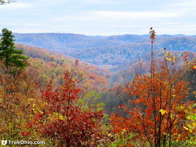
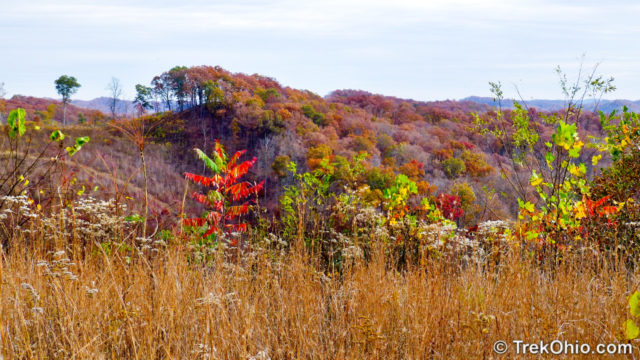
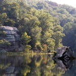
As we continued along this ridgeline there were some lovely views of the adjoining hills.
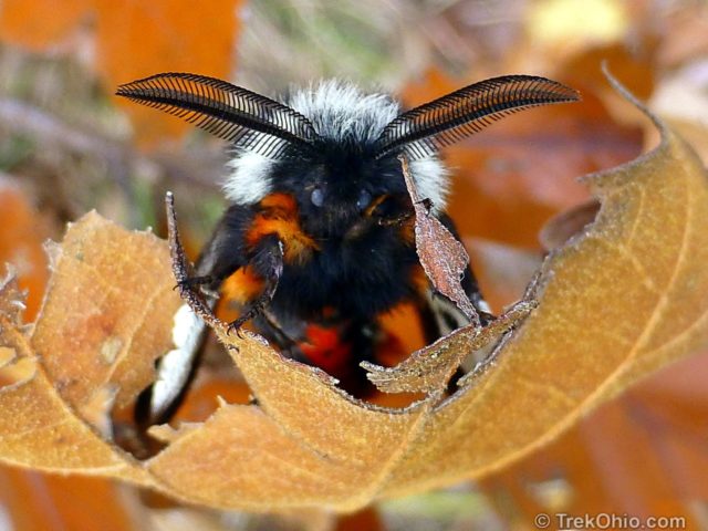
We passed a male buck moth along the way. Its extravagant antenna help it to detect the female moth’s pheromones.
We also saw this reindeer lichen intermingling with moss.

We continued on the ridgeline for some distance and then the trail began gradually descending. Eventually we caught glimpses of the road and knew that we’d soon be back where we started.
We were feeling pretty good and joked about driving over to Buzzardroost Trail to continue hiking and to check out the view from their overlook. But it was late; sunset would take place around 5 PM. Since we had been staying at the Shawnee Lodge, we instead drove there and went for dinner. Before returning home the next day, we went behind the lodge to the area between the pool and the gazebo to take in the beautiful view. We also hiked at the nearby Raven Rock State Nature Preserve this same weekend. It is possible to get a permit for this permit-only preserve from the park office at Shawnee State Park.
We had a great time. If anyone decides to hike this area over the winter months, the limited daylight hours would incline me to recommend the shorter, 4.2-mile loop hike.
One final note — the Shawnee Day Hike trail while blue-blazed is not part of the Buckeye Trail. In fact, the original day hike trail pre-dates the Buckeye Trail.
Update: In the fall of 2017 we returned to hike the 8.4 mile extended day loop trail. Much to our surprise, portions of the trail were closed due to logging activity. We now recommend viewing the Shawnee Forest web site when planning your hike to see if trails are closed.
Additional information
- TrekOhio: Shawnee Forest Day Hike Trail – our original post
- TrekOhio: Shawnee State Park
- TrekOhio: Shawnee Nature Center
- TrekOhio: Raven Rock State Nature Preserve
- TrekOhio: Edge of Appalachia: Buzzardroost Rock Trail
- TrekOhio: Ohio’s Scenic Overlooks
- TrekOhio: Scioto County Parks & Preserves
More on Scioto County
Will be heading to Shawnee in a couple of weeks…do you know if the trails are still open to make the 4.2 mi day hike into 8mi? thanks!!
Heading there in a couple of weeks…are the trails still open as described above to make the 4.2 mi day hike into 8 mi? thanks!
My view of the Shawnee Forest Day Hike Trail is somewhat different. From your photos it looks like a wonderful hike in the fall. But it’s different after a heavy rain the day before in early May. It’s also different if you’re in pretty good shape but 83 years old LOL. I came to the sign that offered the choice of day hike or east loop. I chose day hike. The first section is flat and wide with knee high grass. The trail had about an inch of water to walk on and the grasses were wet. That’s not a complaint, just a fact. There was one downed tree that was tough for me to climb over. It was covered with poison ivy vine. No choice but to put my hands on it to help me over and hope for the best. Then the trail started climbing up. And up. And up. Had the views or flowers and ferns been spectacular I wouldn’t have minded, but this trail had the least interesting flora of any of the others I have sampled in our 4 day stay in the park. Finally, I came to a notice pinned to a tree warning about large earth moving vehicles on the ridge. They were there, alright. Looking for the blue blazes I saw that after walking on this ridge road for a short distance, there would be more climbing up. I decided I had had enough. There were a few bushes of mountain laurel blooming which gladdened my heart. Then I retraced my steps. Steep downhill is sometimes even harder than climbing up. In some spots the trail was slippery and I needed to be careful. So this was not my favorite hike in the park.
The two trails that I enjoyed the most were the Overlook trail and a portion of the Shawnee Backpack Trail. Starting the Overlook trail I was overjoyed to view some 12 different fern species within the first 15 minutes of walking. Here’s what I saw: interrupted fern, new york fern, broad beech fern, Christmas fern, northern lady fern, rattlesnake fern, northern maidenhair fern, cinnamon fern, silvery glade fern, sensitive fern, goldie’s wood fern, narrow glade fern. These were not isolated groups but masses all mixed together like mother nature had just dumped a bucket of spores.
The rest of the 2 mile hike was pleasant and easy. Near the end there was a large patch of dwarf iris and long spurred violet in bloom.
The Shawnee Backpack trail is also an easy trail as far as I walked (about 2 hours each way stopping to take photos). There were most of the same ferns though more spread apart. Particularly enjoyable was seeing both the interrupted fern and cinnamon fern with their brand new cinnamon colored spore fronds. There was also showy orchis and one lovely pink lady’s slipper. There were nice views. I wish I had had more time to continue that trail.
I walked the other trails in the park but those mentioned above were the most memorable. The park has not updated its maps yet but the trails are all well blazed.
I love your website. We live in southeast Michigan and like Ohio’s parks and preserves. Your website is my go-to for information!
Happy Trails,
Eva
The Shawnee Day Hike trail involves a steep 600 foot climb to the ridgeline. Hiking that trail in slippery muddy conditions would be unpleasant and a serious challenge at any age. Trails can vary dramatically depending on the time of year that you visit and weather conditions. Deb and I once visited Wildcat Hollow in Wayne National Forest in late spring after some rains. The hike was awful – miles of ankle deep mud. With some trepidation we returned a few years later for an autumn hike. This time the hike was both dry and delightful. We plan to return to Shawnee in the next few weeks. We’ve done the Day Hike trail, the Lampblack Trail (by the lodge), and the Overlook trail, but not the backpacking trail. I thank you for the information – we’ll be sure to give it a try.
Eva, thank you for providing additional information on your experiences on this trail, and on the nearby trails that you preferred. We definitely need to try out the Backpack Trail, and it could be worth returning to the Overlook Trail during a different time of year to see what foliage is growing. I really like ferns, so it sounds like I would get to see quite a few species.
Also thank you for saying that our website is your “go-to” site for information on Ohio’s parks. You made my day. 🙂
Wow – that bench brings back some bad memories. We were sitting there when it felt like gnats or something was bouncing off my leg. Turns out iit was many many ticks and they were all over us within minutes. We were picking them off for the next half hour. Be aware of that bench if it is warmer out.